
Search for another town

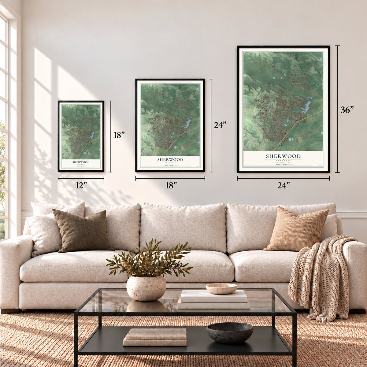
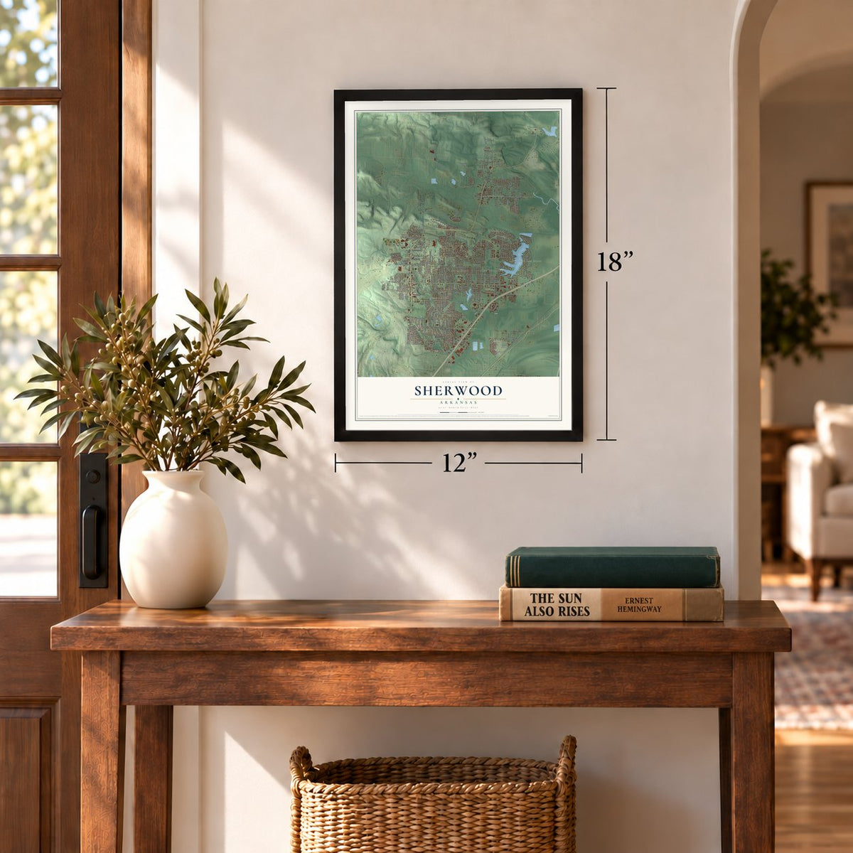
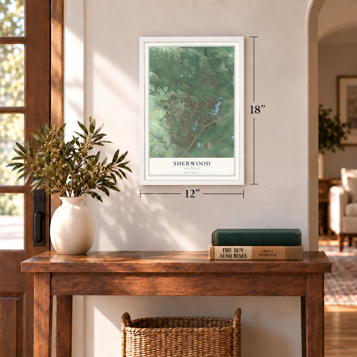

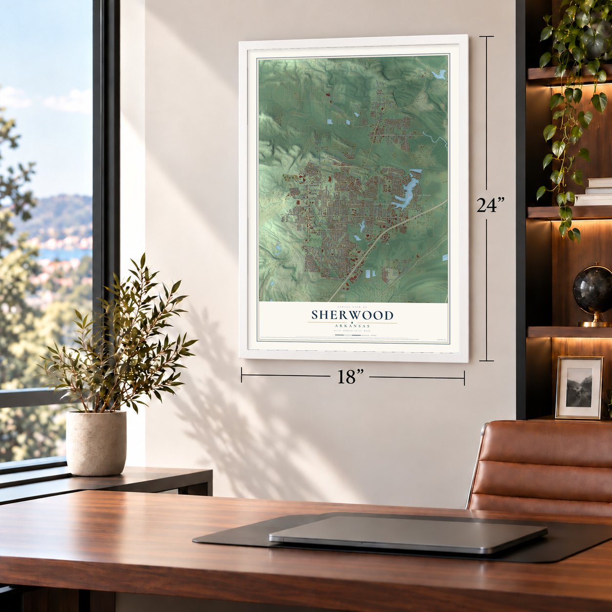

Free U.S. delivery 7 to 10 days after you order
Sherwood, Arkansas Map Art
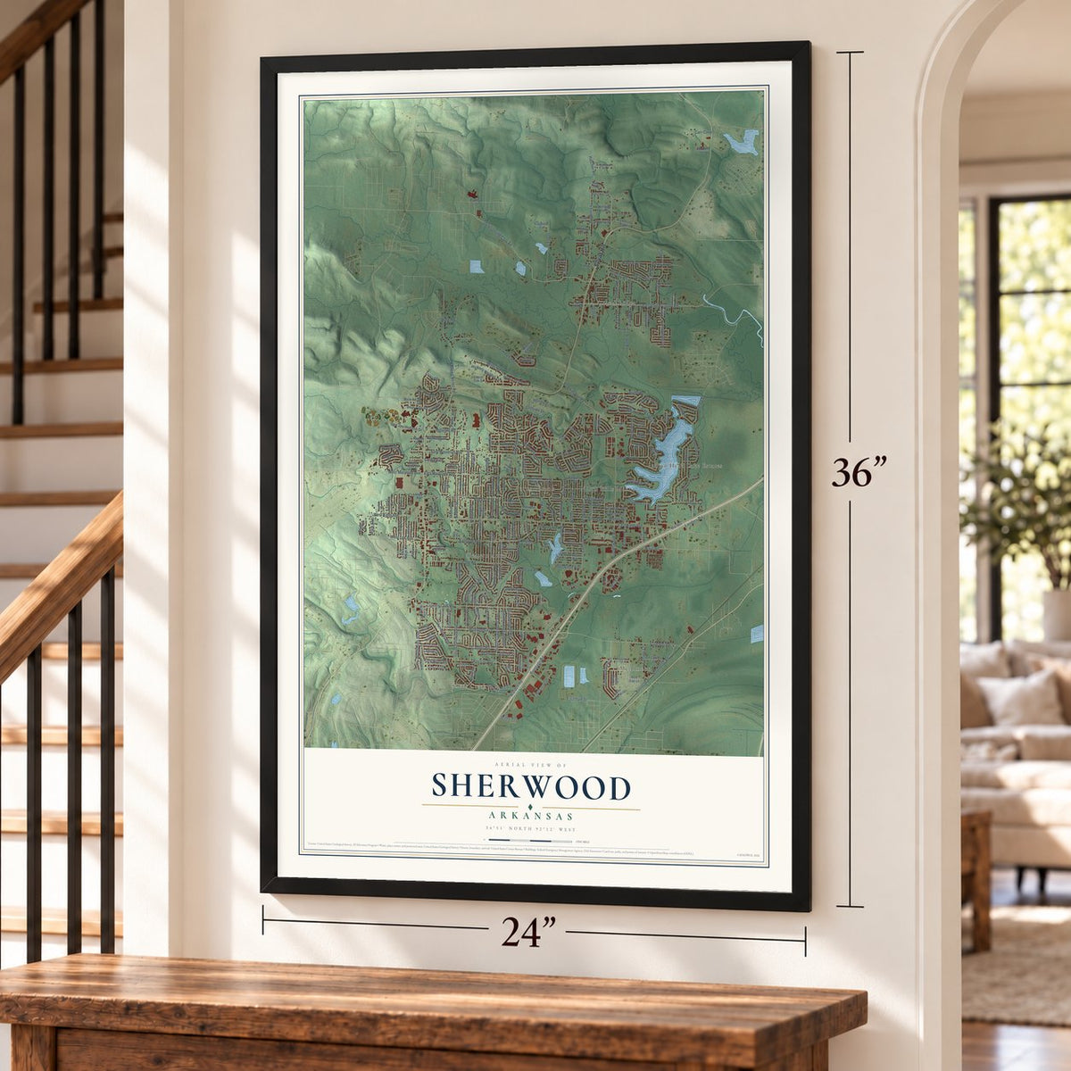
A new map of Sherwood, Arkansas, made in 2026 and printed to order on thick archival matte paper.
12" x 18" Archival Matte Print
A Map of Home. A Work of Art.
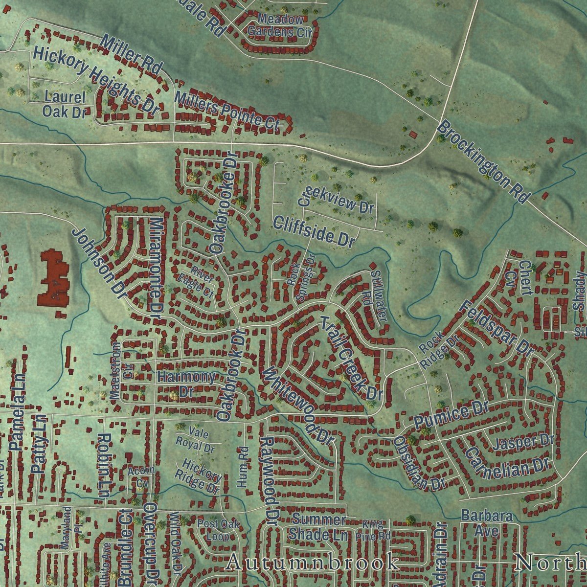
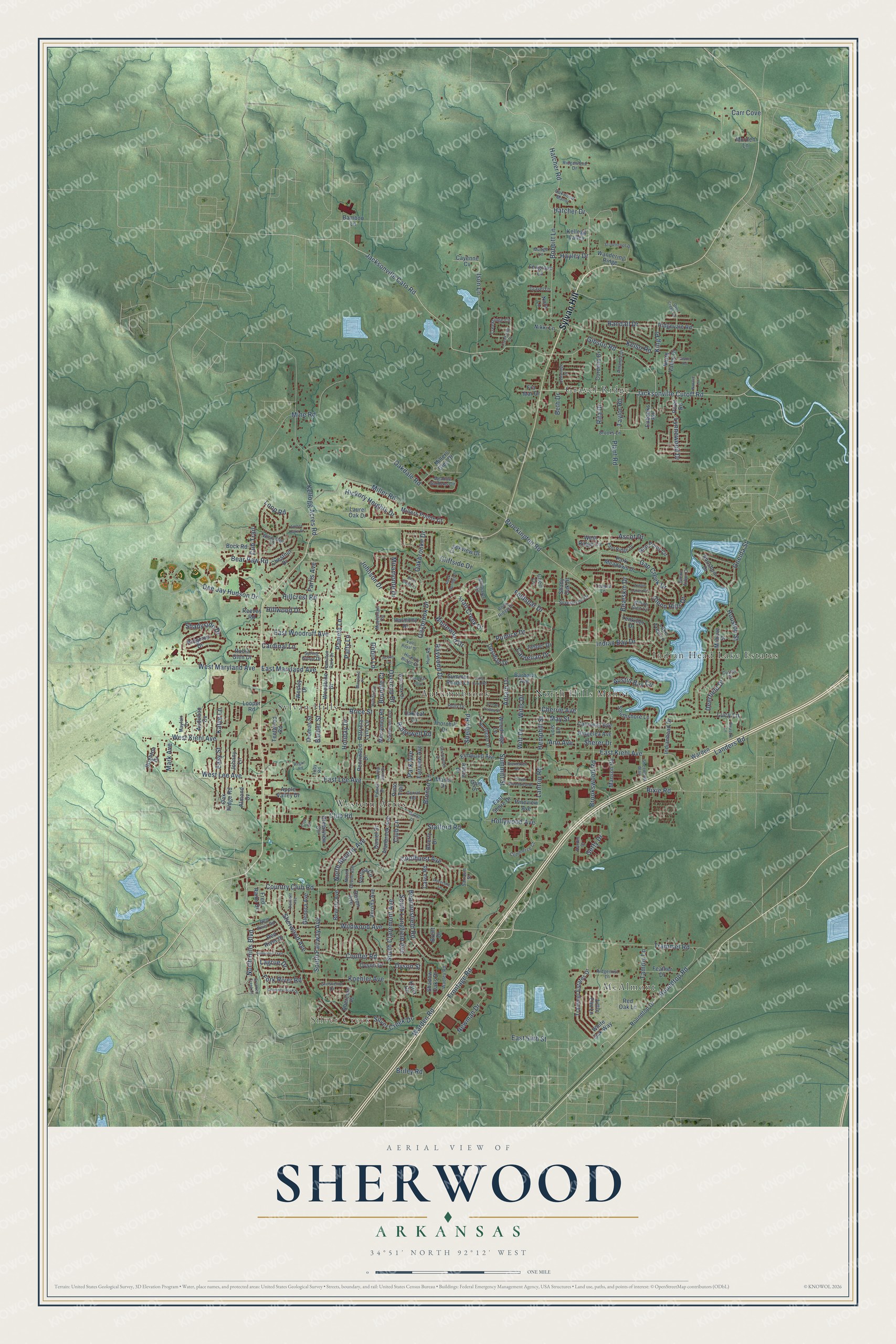
Explore Sherwood, Arkansas from a whole new perspective. Created using aerial imagery and detailed geographic data, this map captures Sherwood building by building, with labeled streets, familiar landmarks, and shaded topographical relief that highlights the natural contours of the landscape.
Combining modern data with the timeless character of a vintage atlas, this map is just as interesting up close as it is beautiful on the wall. Whether you grew up in Sherwood, spent memorable years there, or call it home today, this unique map is a great way to celebrate a place that means something to you. Zoom in on the preview to look for your street, and then order a print to put your memories on the wall.
Three ways to hang it
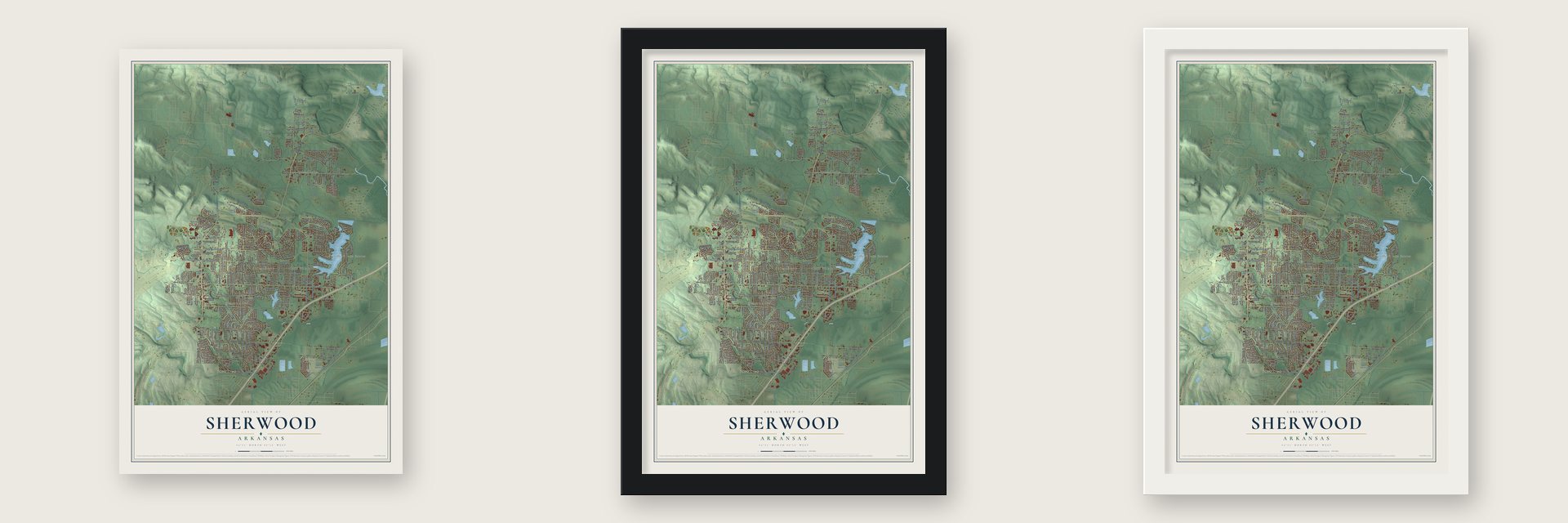
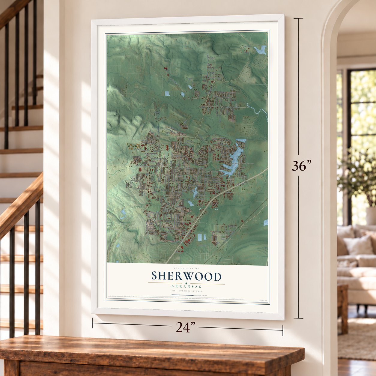
Unframed archival matte, a black wood frame or a white wood frame.
Up close
Geography Worth Displaying
This map was created using accurate cartographic data and authoritative geographic sources, including the U.S. Geological Survey and the Census Bureau. The map brings together terrain, waterways, roads, and building detail. The majority of the streets are labeled, houses are accurately depicted, and the topography is derived from government sources. Combining local data with carefully composed color and shading leads to this beautifully detailed Sherwood artwork for your wall.
Rather than simply showing street outlines, we’ve included as many of the street names as we could reasonably fit on the map while keeping their names legible. Zoom in on the high resolution preview to see exactly what’s on the map. We truly set out to create a statement piece for anyone who loves Sherwood. So whether it’s for you, or a gift for someone you love, we hope this map of Sherwood brings back fond memories.
Read the story behind this map of Sherwood, Arkansas from 2026.

About Sherwood, Arkansas
From the Encyclopedia of Arkansas: "Sherwood began in the late 1800s as a small farming community known as Sylvan Hills. Few families lived there until the early 1900s. For many years, they had no running water, electricity, or utilities."
From the Encyclopedia of Arkansas: "Around 1923, the first running water was carried through pipes from three springs on a farm belonging to the Koehler family. Many descendants of their family still live on Koehler Lane in Sherwood."
Find your street
Names on the Sherwood map
Every name below is printed on this map. Look for your street, your school, the park where you played, or the pond down the road.
Places and landmarks8
- Silver Creek
- Autumnbrook
- Gravel Ridge
- Indian Head Lake Estates
- McAlmont
- North Hills Manor
- Sylvan Hills
- Western Acres
Streets and roads279
- Sylvan Hill
- East Maryland Avenue
- East Woodruff Avenue
- Hatcher Road
- Gibson Road
- North Hills Boulevard
- Coulter Road
- Hatcher Drive
- Jacksonville Cutoff Road
- Brockington Road
- Jacksonville Cato Road
- Johnson Drive
- Hemphill Street
- Landers Road
- East Kiehl Avenue
- Warden Road
- Country Club Road
- East Lee Avenue
- Oakdale Road
- Trammel Road
- Wildwood Avenue
- Frontage Road
- Kellogg Acres Road
- Gap Creek Drive
- Silver Creek Drive
- Club Road
- Oakbrooke Drive
- Miller Road
- Bobbitt Lane
- Ison Lane
Show all 279 streets
- West Kiehl Avenue
- West Maryland Avenue
- Lantrip Road
- South Claremont Avenue
- Koehler Avenue
- Roundtop Road
- Dee Jay Hudson Drive
- Kelso Road
- Indian Bay Drive
- West Lee Avenue
- Bear Paw Road
- Hillcrest Road
- Beaconsfield Road
- South Fairway Avenue
- Feldspar Drive
- Coolhurst Avenue
- Mine Road
- Sherwood Avenue
- Pumice Drive
- Glenn Hills Drive
- Whitewood Drive
- Oakbrook Drive
- Trail Creek Drive
- Overcup Drive
- Farris Avenue
- Barber Street
- Brice Street
- Witt Drive
- Shelby Road
- Randall Drive
- Hickory Heights Drive
- Tammy Lane
- Holiday Drive
- South Longfield Avenue
- Witts Drive
- Lynnewood Drive
- Ridgewell Road
- Bronco Lane
- Cherrie Avenue
- Cliffside Drive
- Newman Drive
- Bearskin Drive
- Fork River Road
- Ascot Drive
- Dyson Street
- Carr Cove
- Austin Bay Circle
- North Beverly Avenue
- King Place
- Pamela Lane
- Miramonte Drive
- Brookswood Road
- May Street
- Ann Avenue
- Hillwood Drive
- Oneida Street
- Hollywood Avenue
- Shadyside Drive
- Deerfield Drive
- Stafford Road
- Lucy Lane
- Rixie Road
- Carnelian Drive
- Plant Road
- Houston Street
- East 54th Street
- Raywood Drive
- Rita Drive
- Summitt Street
- Taylor Road
- Getty Drive
- Robin Lane
- Patty Lane
- Sherer Drive
- Easy Street
- Hayley Drive
- Katye Lane
- Mark Avenue
- Cardinal Lane
- Park Avenue
- Cub Trail
- Lagrue Drive
- Brundle Court
- Adrain Drive
- Briley Road
- Loop Road
- Club Lane
- Beth Drive
- Gum Drive
- Millers Glen Drive
- Ridgevale Road
- Harmony Drive
- Barbara Avenue
- Shoshoni Drive
- Trammel Estates Drive
- Indianhead Drive
- Roundtop Drive
- Thornhill Drive
- Alanbrook Avenue
- Calloway Avenue
- Ridgelea Avenue
- North Valley Drive
- Gap Point Circle
- Manson Road
- Lake Tree Lane
- Greenview Circle
- Wesley Drive
- Shadow Oaks Drive
- Verona Avenue
- Pennwood Drive
- Oak Ridge Road
- Eubanks Road
- Woodbine Drive
- Warden
- Patricia Lynn Lane
- Cayenne Cv
- Mohave Street
- Cordelia Drive
- Woodridge Lane
- East Shore Drive
- Looper Road
- Red River Drive
- West Ridge Circle
- Devon Avenue
- Teetwood Road
- Daniel Drive
- Park Meadows Drive
- Laurel Oak Drive
- Millers Pointe Court
- Creekview Drive
- Verona Circle
- Abercorn Place
- Ridgetop Drive
- Pineview Avenue
- Nora Lane
- Tenkiller Drive
- Wandering Ridge
- Feather Drive
- Beverly Avenue
- Glenora Avenue
- Apple Valley Drive
- Southshore Lane
- Elmwood Avenue
- Obsidian Drive
- Pinto Trail
- Merrymen Road
- Thomas Street
- Little Elm Lane
- Fairview Avenue
- Karla Circle
- Shady Oak Drive
- Jasper Drive
- Lois Lane
- Calva Road
- Audubon Cv
- Almond Cv
- Oakleaf Lane
- Robin Glen Drive
- Manor Drive
- Chestnut Drive
- Summer Shade Lane
- White Oak Way
- Dyson Drive
- Kellogg Valley
- Bock Road
- Foxgrove Lane
- Nikki Lane
- Johnny Lane
- Brighton Drive
- Reeves Road
- Alicia Drive
- Bamboo Lane
- Fra Mar Drive
- Fred Rains Drive
- Brierly Drive
- Red Oak Lane
- Morden Lane
- Brent Drive
- Piver Road
- Chert Cv
- Brooks Lane
- Teague Lane
- Ridgemist Lane
- Meadow Gardens Circle
- North Devon Avenue
- Rock Ridge Drive
- Amanda Drive
- Claremont Avenue
- Maelstrom Circle
- Willow Glen Circle
- Creekridge Circle
- Spring Grove Drive
- Stillwater Road
- East Ridge Drive
- Hamilton Park Drive
- Powell Drive
- Grosvenor Drive
- Silverbrook Drive
- Commerce Court
- Windridge Drive
- Ridgewood Drive
- Northgate Drive
- Oakwood Manor
- Wadley Road
- Corral Road
- Sherwood Way
- Hum Road
- Wild Oak Drive
- Mayfair Cv
- Hardin Drive
- Red River Road
- Gravel Lane
- Hickory Ridge Drive
- Sarrasin Street
- Glenn Arbor Court
- Mudge Lane
- Holly Drive
- Custer Place
- Toby Road
- Seminole Trail
- Maryland Place
- Chimney Rock Drive
- Austin Lakes Circle
- Stonehenge Drive
- King Pine Road
- Cedaridge Drive
- Creekdale Cv
- Post Oak Loop
- Pecan Valley Drive
- Delmont Avenue
- South Woodview Drive
- Wilhite Avenue
- Rock Springs Drive
- Dovecote Lane
- River Eagle Court
- Glenhaven Place
- Club Circle
- Christopher Drive
- Amber Oaks Drive
- Glade Road
- Marlar Drive
- Crooked Creek Court
- Deer Creek Cv
- Pleasure Lane
- Vale Royal Drive
- Natalie Lane
- Acorn Cv
- Spring Glen Drive
- Regan Road
Names are listed as they appear on the printed map. Zoom into the product photos to find them.
The art of mapping a place
How This Map Was Made
Real places. Remarkable detail. Discover the layers that turn geographic data into a map of home.

The view from above
Aerial imagery reveals the character of the land: woodland, open fields, and the patterns of a place.

The shape of the land
Elevation data brings hills, valleys, and subtle changes in the landscape into view.

The details of home
Roads, waterways, and building footprints come together to make the map feel unmistakably local.

Geography becomes art
Considered color, shading, and typography bring the layers together in a map made for your wall.


Process illustrated with Mendon, Massachusetts. Aerial imagery: USDA NAIP. Terrain: USGS 3D Elevation Program. Map details and finished artwork: KNOWOL.
The Details
About This Print
Choose an archival matte print, or a black or white Ayous wood frame. The archival matte print is unframed.
Select your size and finish above to see the matching product image and price.
Materials & Craftsmanship
A contemporary map with the character of a classic atlas, printed on archival matte paper. Optional frames are made from Ayous wood.
Your printed map does not include the watermark shown in the full-map preview.
Shipping & Delivery
Free shipping within the United States. Every print is made to order in the USA.
Buying a gift? Add a note in your cart and we'll include it. We never put prices in the package.
Prints ship within 2 to 3 business days. Allow 7 to 10 days total from ordering for delivery. Timing may vary during holidays or periods of high order volume.
Read our shipping policy.
Returns and damaged prints
Each print is made to order. Change-of-mind refunds are not available after production.
If your print arrives damaged, misprinted or incorrect, contact support@knowol.com within 30 days of receiving it. Include your order number, photos and a description of the issue.
Read our full refund and replacement policy. For questions about your order, email support@knowol.com.
Find your town
Looking for another city?
Find a map of home in our Arkansas collection, or any town in the country.
Nearby
Maps of towns near Sherwood
Know someone from one of these towns? Their map makes a great gift.
 Gibson
, Arkansas
From $39.99See the map
 McAlmont
, Arkansas
From $39.99See the map
 Jacksonville
, Arkansas
From $39.99See the map
More maps nearby: North Little Rock, Cammack Village, College Station, Maumelle and Little Rock.