
Search for another town

Free U.S. delivery 7 to 10 days after you order
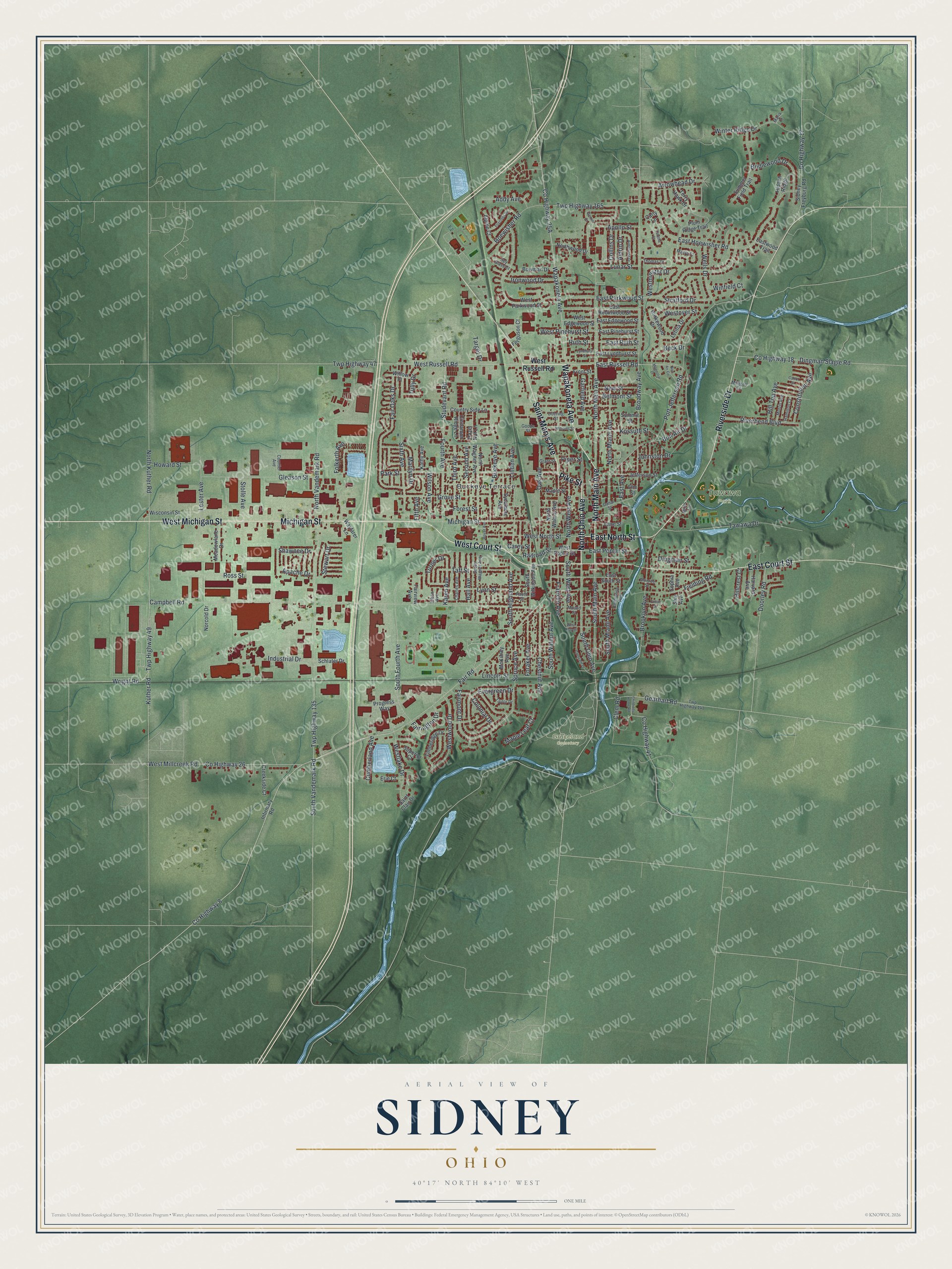
Sidney, Ohio Map Art
Building by building, with labeled streets and shaded relief.
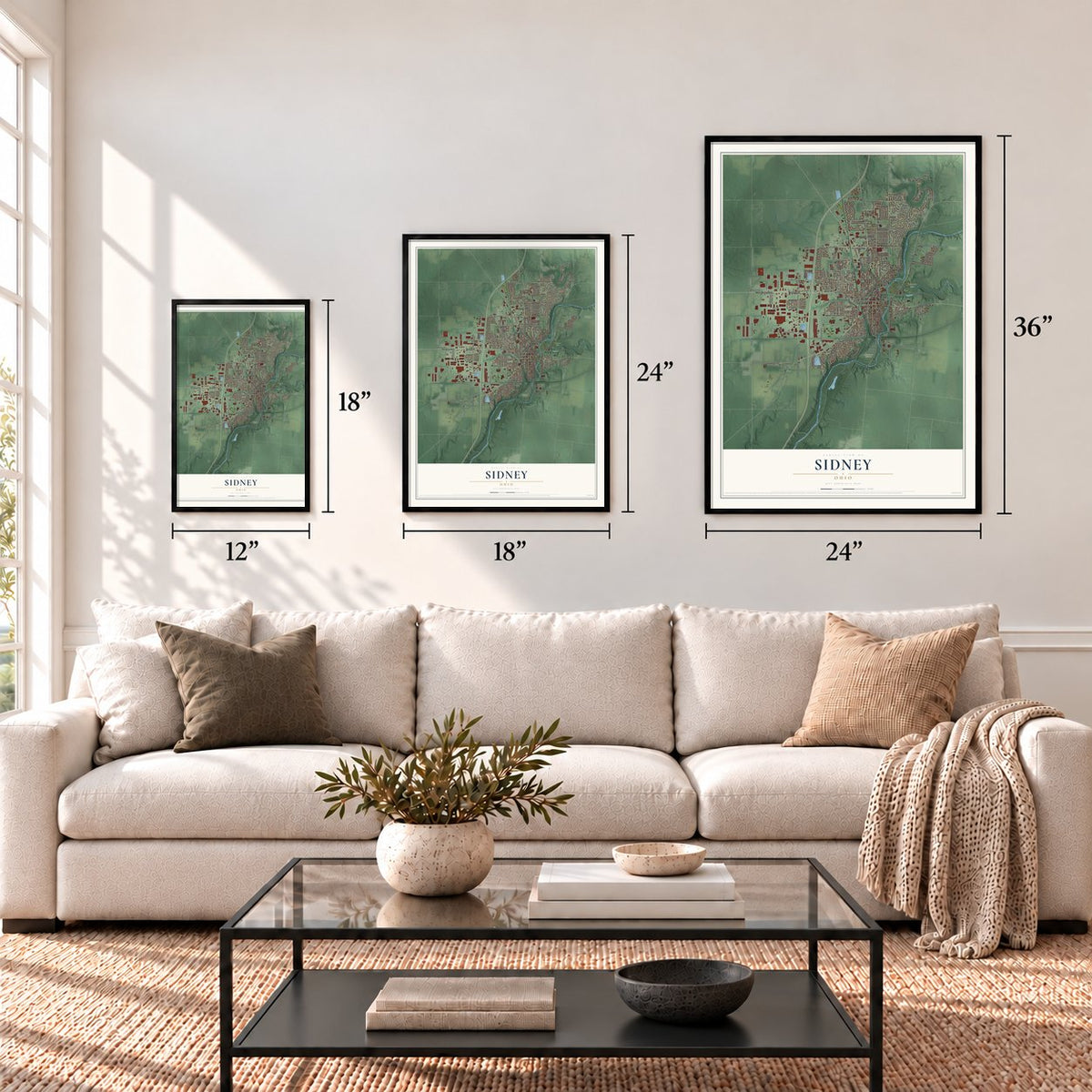
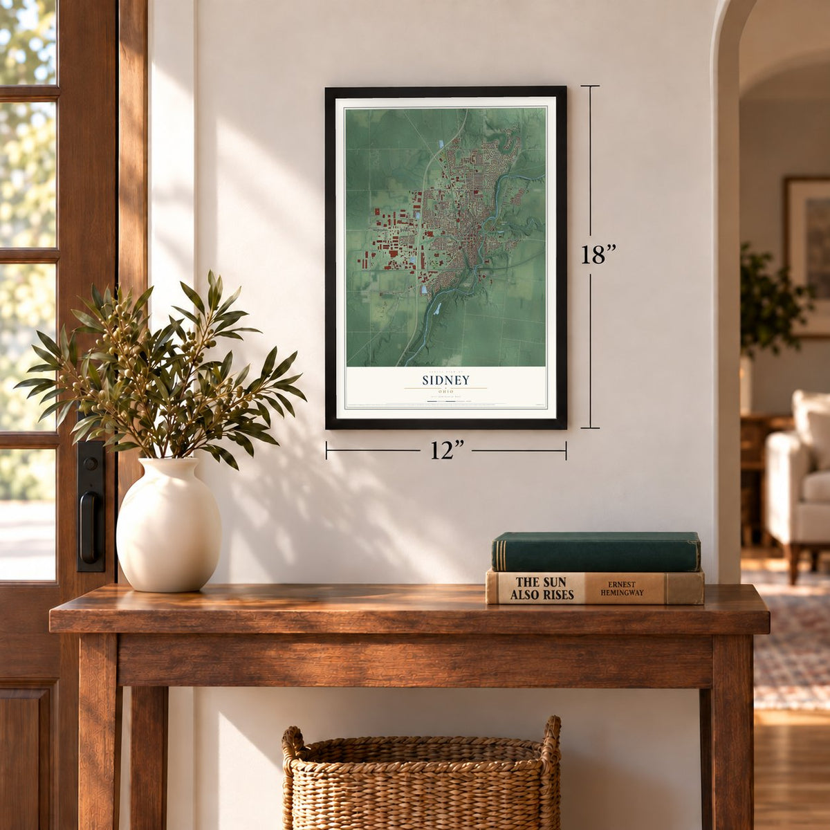
12" x 18" Archival Matte Print
A Map of Home. A Work of Art.
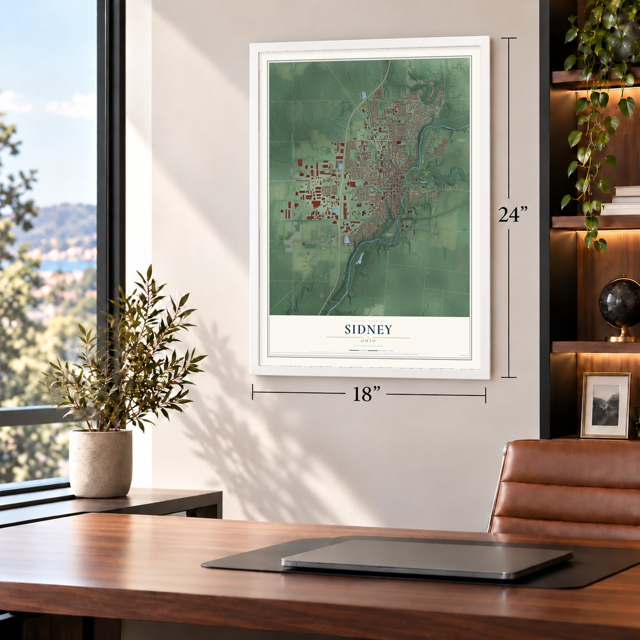
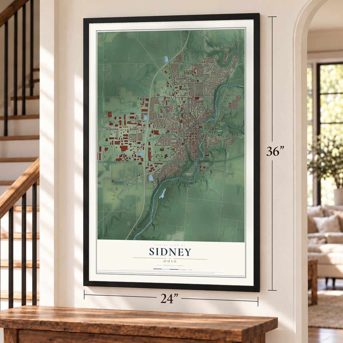
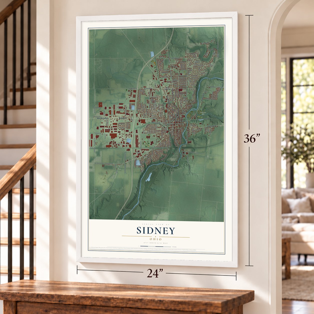
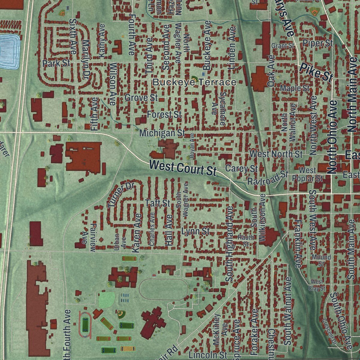
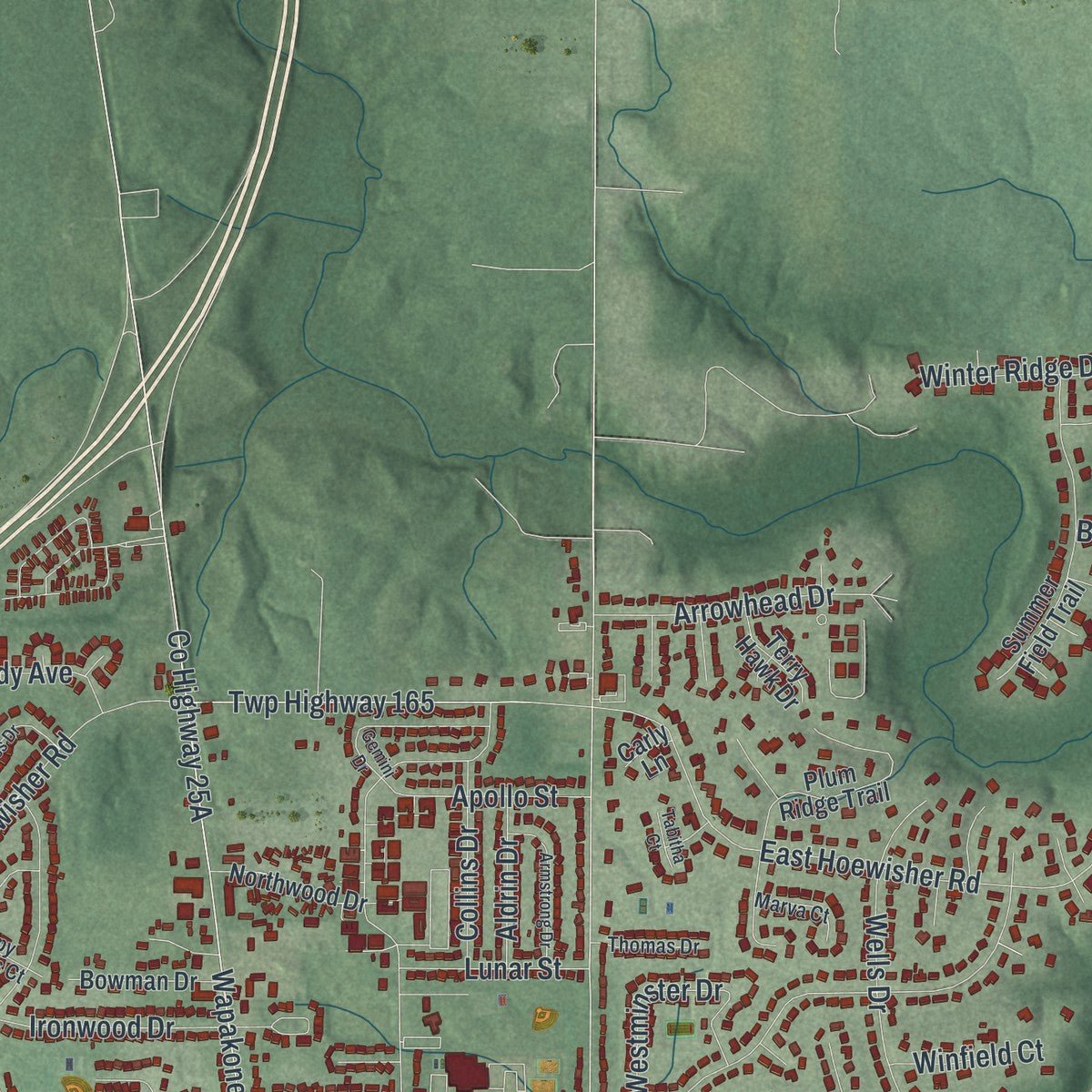
Explore Sidney, Ohio from a whole new perspective. Created using aerial imagery and detailed geographic data, this map captures Sidney building by building, with labeled streets, familiar landmarks, and shaded topographical relief that highlights the natural contours of the landscape.
Combining modern data with the timeless character of a vintage atlas, this map is just as interesting up close as it is beautiful on the wall. Whether you grew up in Sidney, spent memorable years there, or call it home today, this unique map is a great way to celebrate a place that means something to you. Zoom in on the preview to look for your street, and then order a print to put your memories on the wall.
Three ways to hang it
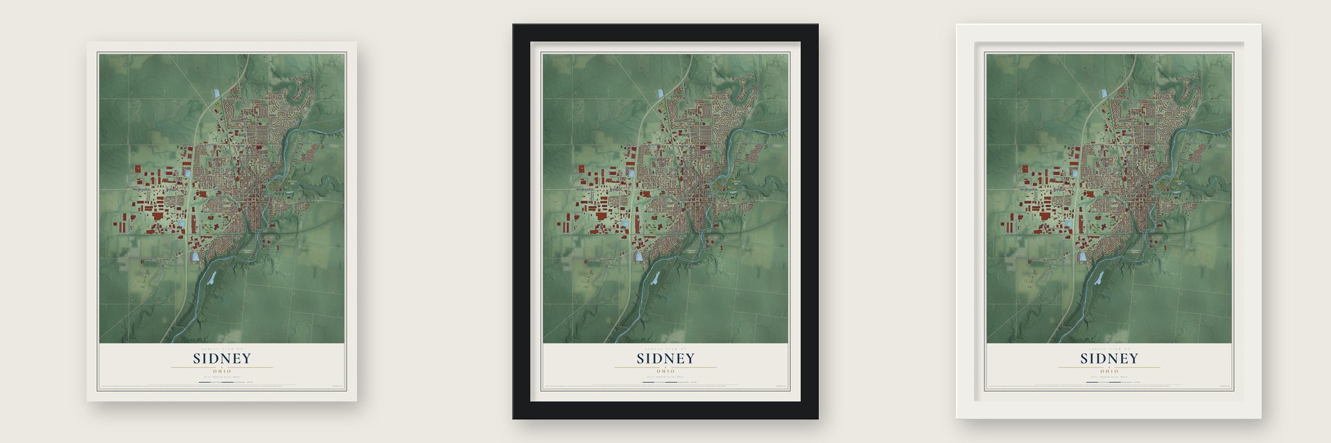
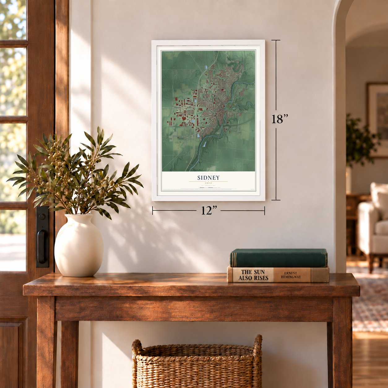
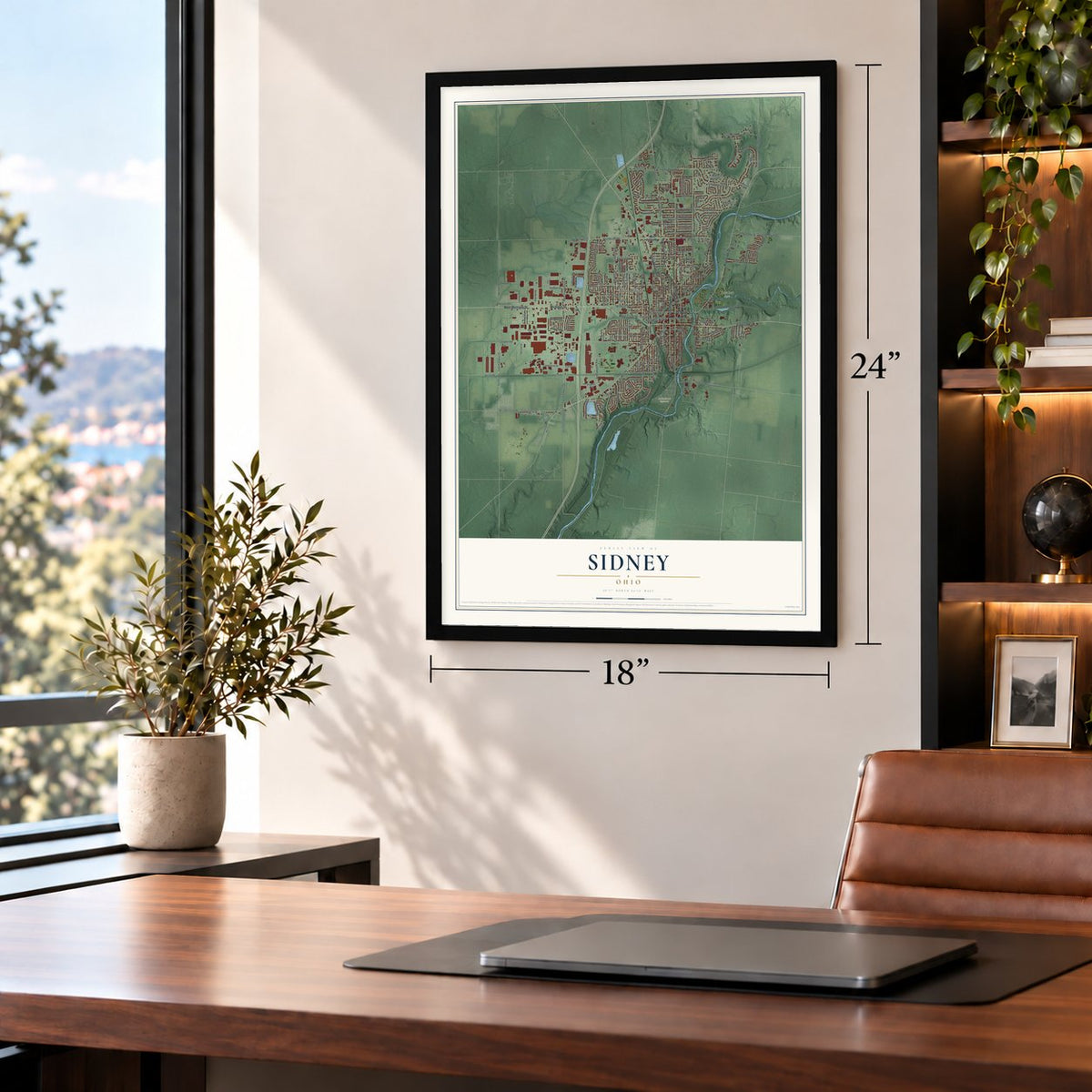
Unframed archival matte, a black wood frame or a white wood frame.
Up close
Geography Worth Displaying
This map was created using accurate cartographic data and authoritative geographic sources, including the U.S. Geological Survey and the Census Bureau. The map brings together terrain, waterways, roads, and building detail. The majority of the streets are labeled, houses are accurately depicted, and the topography is derived from government sources. Combining local data with carefully composed color and shading leads to this beautifully detailed Sidney artwork for your wall.
Rather than simply showing street outlines, we’ve included as many of the street names as we could reasonably fit on the map while keeping their names legible. Zoom in on the high resolution preview to see exactly what’s on the map. We truly set out to create a statement piece for anyone who loves Sidney. So whether it’s for you, or a gift for someone you love, we hope this map of Sidney brings back fond memories.

Find your street
Names on the Sidney map
Every name below is printed on this map. Look for your street, your school, the park where you played, or the pond down the road.
Places and landmarks3
- Buckeye Terrace
- Graceland Cemetery
- Tawawa Park
Streets and roads220
- Michigan Street
- West Court Street
- West Michigan Street
- North Ohio Avenue
- Pike Street
- Wapakoneta Avenue
- North Main Avenue
- Saint Marys Avenue
- East Court Street
- Riverside Drive
- East North Street
- West Russell Road
- East Russell Road
- Fourth Avenue
- Fair Road
- County Highway 8
- Broadway Avenue
- Park Street
- Studevant Road
- Railroad Street
- South Main Avenue
- South Fourth Avenue
- County Highway 41
- South Vandemark Road
- Twp Highway 135
- South Miami Avenue
- East Avenue
- Twp Highway 165
- Campbell Road
- Twp Highway 49
Show all 220 streets
- Kuther Road
- Port Jefferson Road
- East Hoewisher Road
- Twp Highway 47
- North Vandemark Road
- East Parkwood Street
- North Miami Avenue
- Folkerth Avenue
- Spruce Avenue
- County Highway 26
- West Millcreek Road
- Stolle Avenue
- Tawawa Drive
- Fair Oaks Drive
- Sixth Avenue
- Brooklyn Avenue
- Oak Avenue
- Gleason Street
- North Kuther Road
- Grove Street
- Buckeye Avenue
- South Ohio Avenue
- County Highway 18
- Dingman Slagle Road
- South Walnut Avenue
- North West Avenue
- West North Street
- Gearhart Road
- Bon Air Drive
- Lester Avenue
- Winter Ridge Drive
- South Highland Avenue
- Chestnut Avenue
- Taft Street
- Fielding Road
- Kossuth Street
- Westwood Drive
- Wells Drive
- County Highway 17
- Hoewisher Road
- Linden Avenue
- Franklin Avenue
- Riverbend Boulevard
- Constitution Avenue
- Bridlewood Drive
- Third Avenue
- Second Avenue
- Evergreen Drive
- Westlake Drive
- Marilyn Drive
- Forest Street
- Foraker Avenue
- Lincoln Street
- Lynn Street
- Johnston Drive
- Shawnee Drive
- Arrowhead Drive
- Colonial Drive
- South West Avenue
- East Poplar Street
- West Pinehurst Street
- Turner Drive
- Stratford Drive
- Ironwood Drive
- Doorley Road
- Howard Street
- Clem Road
- Addy Avenue
- Apollo Street
- Wilson Avenue
- Hall Avenue
- Cumberland Avenue
- Ross Street
- Collins Drive
- Maple Leaf Court
- Industrial Drive
- Karen Avenue
- Westover Street
- Westminster Drive
- New Street
- Fairington Drive
- Wright Road
- Beck Drive
- Lunar Street
- Belmont Street
- East Ruth Street
- Dingman Street
- Target Drive
- Hill Top Avenue
- Aldrin Drive
- Apache Drive
- Garfield Avenue
- Fairmont Drive
- Winfield Court
- Ruth Street
- Hillcrest Court
- Stewart Drive
- Carey Street
- Piper Street
- Tully Drive
- Fifth Avenue
- West Poplar Street
- Infirmary Road
- East South Street
- Northwood Drive
- West Parkwood Street
- Plum Ridge Trail
- Sidney Freyburg Road
- North Wagner Avenue
- Summer Field Trail
- Country Side Lane
- Maple Street
- South Wilkinson Avenue
- Jefferson Street
- Timberidge Drive
- Wisconsin Street
- Sycamore Avenue
- North Walnut Avenue
- East Lyndhurst Street
- East Edgewood Street
- Letitia Drive
- East Robinwood Street
- East Pinehurst Street
- Burkewood Drive
- Lane Street
- Meadowlane Drive
- Bowman Drive
- West Edgewood Street
- McKinley Avenue
- Alpine Court
- Creekside Court
- Hazel Nut Lane
- Harvard Avenue
- Schlater Drive
- Cinnamon Ridge Lane
- Front Street
- Ferguson Court
- Norcold Drive
- Terry Hawk Drive
- Kathy Avenue
- Superior Court
- Wayfarer Lane
- Progress Way
- Willow Place
- Fairview Avenue
- Eastwood Trail
- Erie Court
- Summit Street
- Sophia Avenue
- Saint Clair Drive
- Shie Avenue
- Hidden Ridge
- Elm Street
- Carly Lane
- Twp Highway 141
- Doering Street
- South Wagner Avenue
- Charles Avenue
- Canal Street
- Morris Avenue
- Enterprise Avenue
- Hamilton Court
- Taylor Drive
- Milligan Court
- Thomas Drive
- Mires Lane
- Marva Court
- Courtier Avenue
- Goode Street
- Rauth Street
- Mound Street
- Spy Glass Court
- Monroe Street
- Grant Street
- Urban Avenue
- Maria Court
- Childrens Home Road
- Lyndhurst Street
- Crescent Drive
- Gemini Drive
- Foxcross Drive
- Armstrong Drive
- Williams Street
- Fulton Street
- Royan Avenue
- Bon Air Circle
- Magnolia Drive
- Carrol Street
- West Clay Street
- Tabitha Court
Names are listed as they appear on the printed map. Zoom into the product photos to find them.
About Sidney, Ohio
Sidney is the seat of Shelby County and had 20,589 residents at the 2020 census. Named for English poet Sir Philip Sidney, the city developed beside the Great Miami River. Its civic center, transportation history, and park system reflect nearly two centuries of local growth.
- County Seat Since 1820Sidney became the Shelby County seat in 1820, replacing Hardin.
- Courthouse LandmarkThe courthouse cornerstone was laid on July 4, 1881, and the completed 1883 building features Lady Justice figures and a 170-foot clock tower.
- Canal ConnectionsBuilt between 1825 and 1837, the Miami-Erie Canal connected Sidney with Ohio trade centers, and canal boats carried county products until 1913.
- Tawawa ParkThe city's recreation system includes 14 neighborhood parks and Tawawa Park, a 180-acre nature and picnic area.
- Rail LegacyEast-west rail reached Sidney in 1851, north-south rail followed in 1856, and the Big Four Bridge has carried trains since 1924.
Keep exploring Ohio
Sidney is one of 1,389 Ohio towns we've mapped. Every dot on the map is a print of its own.
The search covers every state, Ohio first.
Near Sidney
Order 2 or more town maps and save 10%. Shown in the size and finish you picked above, so they hang as a set.
- Port Jefferson 12" x 18" / Archival Matte Print $39.99
- Lockington 12" x 18" / Archival Matte Print $39.99
- Anna 12" x 18" / Archival Matte Print $39.99
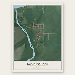

More maps nearby: Houston, Quincy, Fletcher, Piqua and Newport.
The art of mapping a place
How This Map Was Made
Real places. Remarkable detail. Discover the layers that turn geographic data into a map of home.

The view from above
Aerial imagery reveals the character of the land: woodland, open fields, and the patterns of a place.

The shape of the land
Elevation data brings hills, valleys, and subtle changes in the landscape into view.

The details of home
Roads, waterways, and building footprints come together to make the map feel unmistakably local.

Geography becomes art
Considered color, shading, and typography bring the layers together in a map made for your wall.


Process illustrated with Mendon, Massachusetts. Aerial imagery: USDA NAIP. Terrain: USGS 3D Elevation Program. Map details and finished artwork: KNOWOL.
The Details
About This Print
Choose an archival matte print, or a black or white Ayous wood frame. The archival matte print is unframed.
Select your size and finish above to see the matching product image and price.
Materials & Craftsmanship
A contemporary map with the character of a classic atlas, printed on archival matte paper. Optional frames are made from Ayous wood.
Your printed map does not include the watermark shown in the full-map preview.
Shipping & Delivery
Free shipping within the United States. Every print is made to order in the USA.
Buying a gift? Add a note in your cart and we'll include it. We never put prices in the package.
Prints ship within 2 to 3 business days. Allow 7 to 10 days total from ordering for delivery. Timing may vary during holidays or periods of high order volume.
Read our shipping policy.
Returns and damaged prints
Each print is made to order. Change-of-mind refunds are not available after production.
If your print arrives damaged, misprinted or incorrect, contact support@knowol.com within 30 days of receiving it. Include your order number, photos and a description of the issue.
Read our full refund and replacement policy. For questions about your order, email support@knowol.com.