
Search for another town





Free U.S. delivery 7 to 10 days after you order
Signal Mountain, Tennessee Map Art
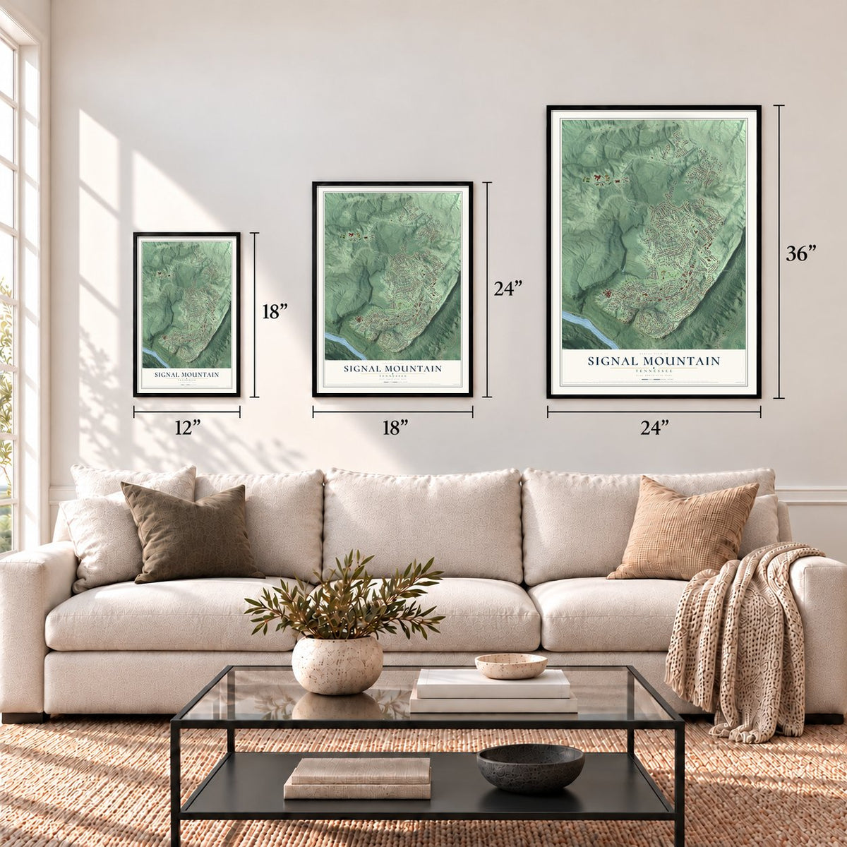
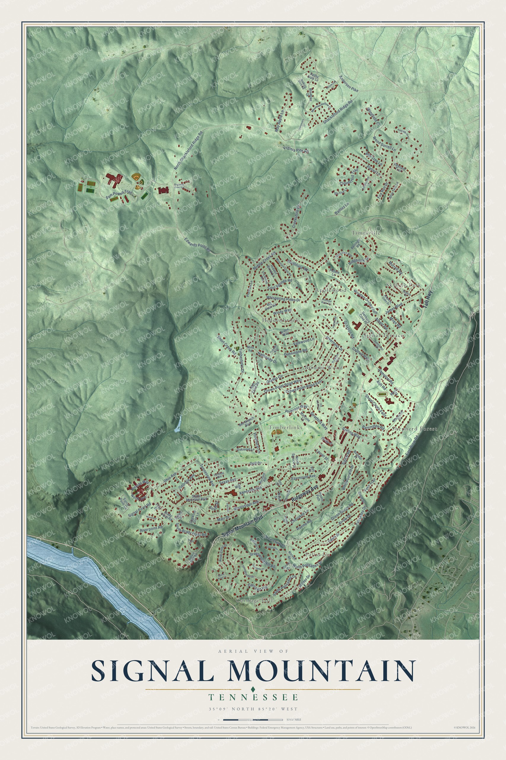
A new map of Signal Mountain, Tennessee, made in 2026 and printed to order on thick archival matte paper.
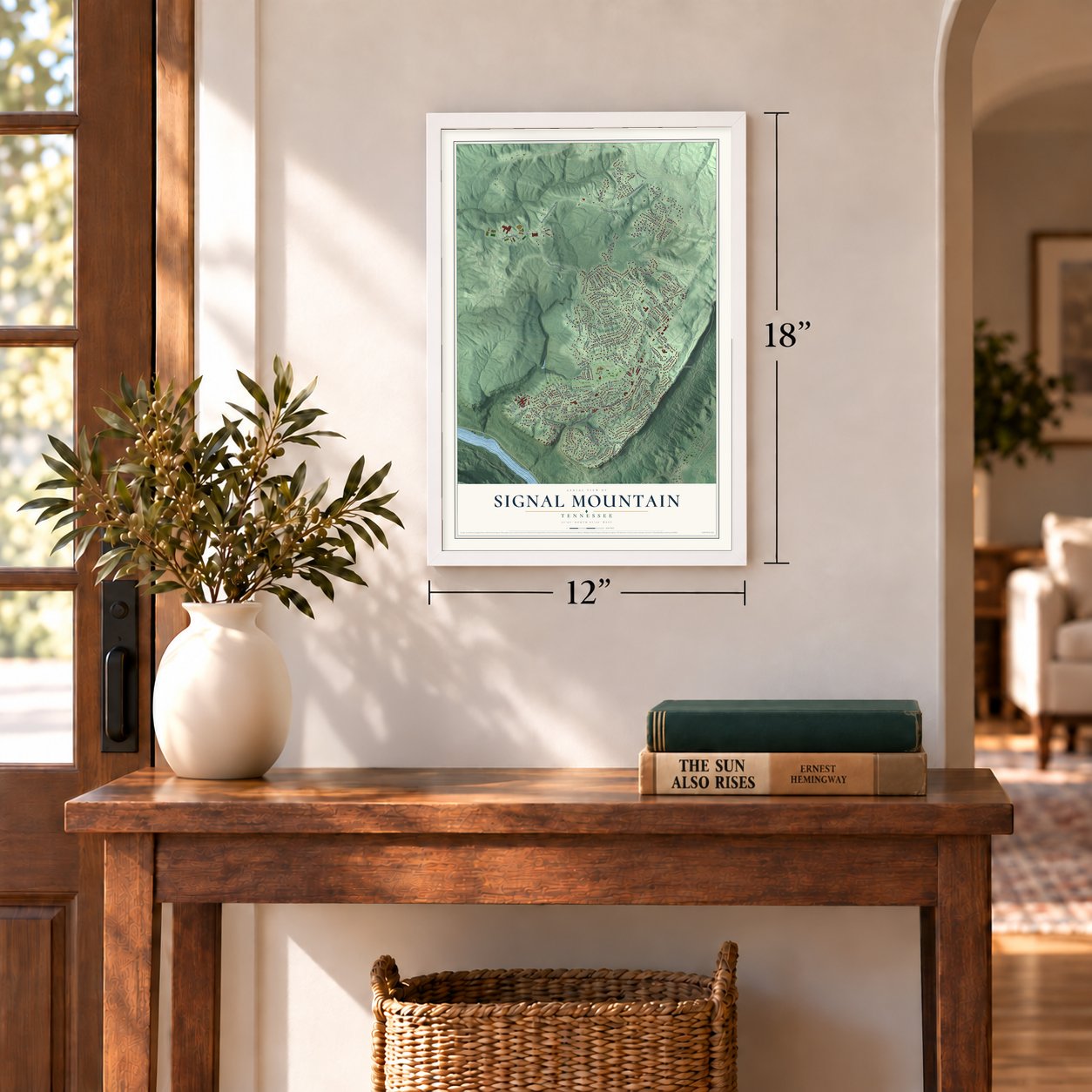
12" x 18" Archival Matte Print
A Map of Home. A Work of Art.
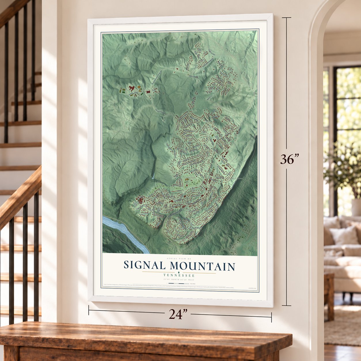
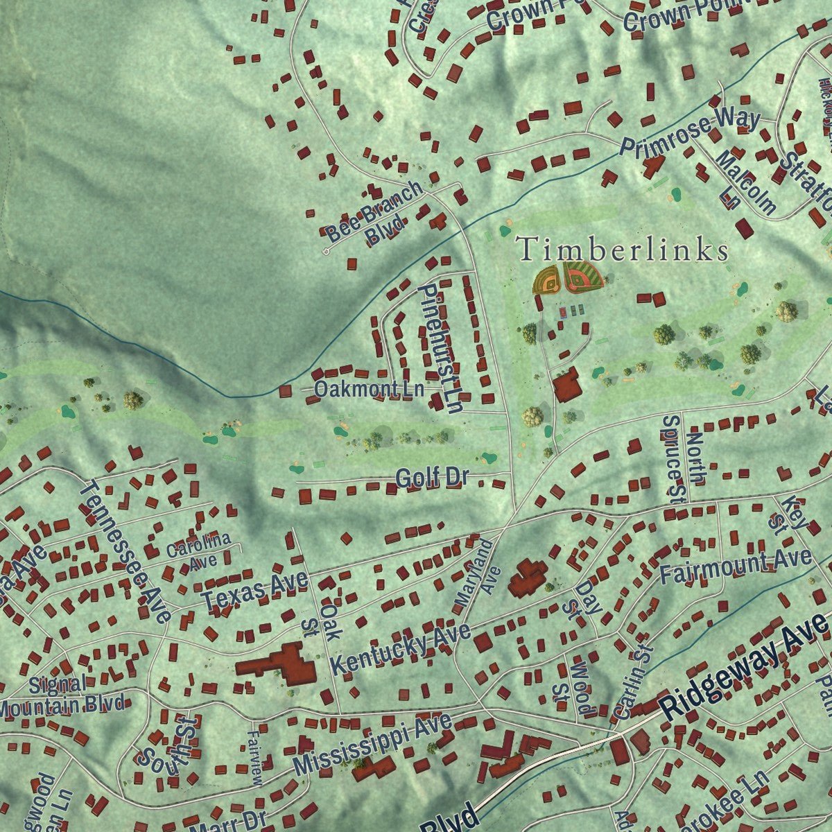
Explore Signal Mountain, Tennessee from a whole new perspective. Created using aerial imagery and detailed geographic data, this map captures Signal Mountain building by building, with labeled streets, familiar landmarks, and shaded topographical relief that highlights the natural contours of the landscape.
Combining modern data with the timeless character of a vintage atlas, this map is just as interesting up close as it is beautiful on the wall. Whether you grew up in Signal Mountain, spent memorable years there, or call it home today, this unique map is a great way to celebrate a place that means something to you. Zoom in on the preview to look for your street, and then order a print to put your memories on the wall.
Three ways to hang it
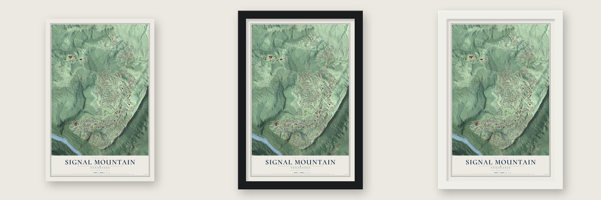
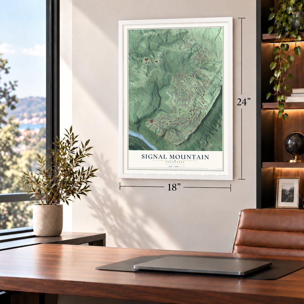
Unframed archival matte, a black wood frame or a white wood frame.
Up close
Geography Worth Displaying
This map was created using accurate cartographic data and authoritative geographic sources, including the U.S. Geological Survey and the Census Bureau. The map brings together terrain, waterways, roads, and building detail. The majority of the streets are labeled, houses are accurately depicted, and the topography is derived from government sources. Combining local data with carefully composed color and shading leads to this beautifully detailed Signal Mountain artwork for your wall.
Rather than simply showing street outlines, we’ve included as many of the street names as we could reasonably fit on the map while keeping their names legible. Zoom in on the high resolution preview to see exactly what’s on the map. We truly set out to create a statement piece for anyone who loves Signal Mountain. So whether it’s for you, or a gift for someone you love, we hope this map of Signal Mountain brings back fond memories.
Read the story behind this map of Signal Mountain, Tennessee from 2026.

About Signal Mountain, Tennessee
Signal Mountain is a town of 8,852 people in Hamilton County, on the south end of Walden Ridge above Chattanooga. The ridge's best-known spot is Signal Point, where Native Americans sent fire and smoke signals across the Tennessee Valley for centuries. During the Civil War the Union Army used the same point as a communications station.
Only a few families lived on the mountain when the war broke out. Epidemics struck Chattanooga in 1873 and again in 1878, and several wealthy families moved up the ridge, drawn by its fresh air and clean water. Later, Charles E. James bought 4,400 acres around Signal Point and developed the land, and the Tennessee Legislature chartered the Town of Signal Mountain on April 4, 1919.
- Streetcars up the ridgeIn 1913 crews finished twelve miles of streetcar track that tied Chattanooga to Signal Mountain. The cars stopped running long ago, but their rails still lie in the streets of the town's historic district, which is named for Velma.
- A school that sheltered a churchSignal Mountain Presbyterian Church, the town's first congregation, held its services inside Signal Mountain Elementary School from 1925 until it could build its own chapel around 1928. The school building joined the National Register in 2001, and today it houses the Mountain Arts Community Center, which teaches music, dance and visual arts.
- Signal Point and the trailsSignal Point is now part of Chickamauga and Chattanooga National Military Park, and from the town's southern edge the Tennessee River runs 1,000 feet below. Hikers and backpackers head out on the Cumberland Trail and to Mabbitt Springs, Rainbow Lake and Edward's Point.
- A summer musical outdoorsThe Signal Mountain Playhouse puts on two plays a year. One is an outdoor musical every summer, staged in the natural amphitheatre behind the Town Hall.
Find your street
Names on the Signal Mountain map
Every name below is printed on this map. Look for your street, your school, the park where you played, or the pond down the road.
Places and landmarks10
- Carriage Hill
- Palisades
- Timberlinks
- Applewood
- Birnam Wood
- Hiddenbrook
- Shepherd Forest
- Signal Terrace
- Skyline Park
- Timesville
Streets and roads146
- Ridgeway Avenue
- Signal Mountain Boulevard
- Taft Highway
- Palisades Drive
- Glamis Circle
- Arrow Drive
- North Palisades Drive
- Windy Way
- Mississippi Avenue
- Alexian Way
- North Avenue
- James Boulevard
- Timberlinks Drive
- Shackleford Ridge Road
- South Palisades Drive
- Sam Powell Trail
- Crown Point Road West
- Ravine Road
- Signal Road
- North Shackleford Ridge Road
- Kentucky Avenue
- Green Gorge Road
- Dunsinane Road
- Cool Springs Road
- Fox Run Drive
- Fern Trail
- Ohio Avenue
- Whispering Pines Drive
- Hathaway Drive
- Edwards Point Road
Show all 146 streets
- Texas Avenue
- Middle Creek Road
- Wood Sorrell Lane
- Whippoorwill Drive
- Ridgerock Drive
- Stratford Way
- Fairmount Avenue
- Tennessee Avenue
- Hampton Road
- Dawn Street
- Creekshire Drive
- Grayson Road
- Georgia Avenue
- Primrose Way
- Grayswood Hill Road
- Crown Point Road East
- Riverpoint Road
- Cloudcrest Trail
- Signal Point Road
- Laurel Street
- Rolling Way
- Pintail Lane
- Anderson Pike
- Cherokee Lane
- Short Creek Road
- Ault Road
- May Apple Lane
- Inverness Drive
- Murrell Road
- South Brady Point Road
- Barrington Road
- Valewood Lane
- Albert Road
- Shoal Creek Falls
- Marr Drive
- Miles Road
- Golf Drive
- Northfield Road
- East Brow Road
- Wingfield Court
- Wilder Drive
- Pinehurst Lane
- Virginia Pine Road
- Bee Tree Lane
- Battles Lane
- South Street
- Rock Crest Drive
- High Crest Road
- Arden Way
- Brady Point Road
- Windtree Drive
- Shoal Creek Road
- Hidden Brook Lane
- Woodcliff Circle
- Druid Drive
- Norvell Drive
- Bollinger Road
- Oliver Court
- Mountain Orchard Path
- Carlin Street
- Mine Road
- Cauthen Way
- Signal Point Circle
- Blue Teal Lane
- Malcolm Lane
- Big Rock Road
- Pipers Path
- Dogwood Glen Lane
- Bee Branch Boulevard
- Danbury Cove Place
- Oak Street
- Oakmont Lane
- Prentice Lane
- Key Street
- Sly Fox Lane
- Slaton Street
- Boulder Place
- Balfour Court
- Reynard Trail
- North Spruce Street
- Flint Street
- Pebble Lane
- Valley Dale Lane
- Wood Street
- Circle Drive
- Mayer Street
- Day Street
- Stonehaven Drive
- Mountain Hollow Drive
- Majestic Oaks Drive
- Carolina Avenue
- Skyline Drive
- Mountain Cove Road
- Lancaster Drive
- Maryland Avenue
- Old Riding Way
- Saint Ives Way
- Ballard Bluff Road
- Walking Stick Road
- Fireside Way
- Bristlecone Lane
- Adams Street
- Mountain Brook Circle
- Dogwood Grove Circle
- Revenuers Lane
- Applewood Circle
- Woodbine Way
- South Drive
- Highdown Court
- Hollywood Lane
- Old Hickory Lane
- Hobblebush Lane
- Lamplighter Lane
- Stone Point Lane
- Marrcrest Lane
- Fairview
Names are listed as they appear on the printed map. Zoom into the product photos to find them.
The art of mapping a place
How This Map Was Made
Real places. Remarkable detail. Discover the layers that turn geographic data into a map of home.

The view from above
Aerial imagery reveals the character of the land: woodland, open fields, and the patterns of a place.

The shape of the land
Elevation data brings hills, valleys, and subtle changes in the landscape into view.

The details of home
Roads, waterways, and building footprints come together to make the map feel unmistakably local.

Geography becomes art
Considered color, shading, and typography bring the layers together in a map made for your wall.


Process illustrated with Mendon, Massachusetts. Aerial imagery: USDA NAIP. Terrain: USGS 3D Elevation Program. Map details and finished artwork: KNOWOL.
The Details
About This Print
Choose an archival matte print, or a black or white Ayous wood frame. The archival matte print is unframed.
Select your size and finish above to see the matching product image and price.
Materials & Craftsmanship
A contemporary map with the character of a classic atlas, printed on archival matte paper. Optional frames are made from Ayous wood.
Your printed map does not include the watermark shown in the full-map preview.
Shipping & Delivery
Free shipping within the United States. Every print is made to order in the USA.
Buying a gift? Add a note in your cart and we'll include it. We never put prices in the package.
Prints ship within 2 to 3 business days. Allow 7 to 10 days total from ordering for delivery. Timing may vary during holidays or periods of high order volume.
Read our shipping policy.
Returns and damaged prints
Each print is made to order. Change-of-mind refunds are not available after production.
If your print arrives damaged, misprinted or incorrect, contact support@knowol.com within 30 days of receiving it. Include your order number, photos and a description of the issue.
Read our full refund and replacement policy. For questions about your order, email support@knowol.com.
Find your town
Looking for another city?
Find a map of home in our Tennessee collection, or any town in the country.
Nearby
Maps of towns near Signal Mountain
Know someone from one of these towns? Their map makes a great gift.
 Walden
, Tennessee
From $39.99See the map
 Fairmount
, Tennessee
From $39.99See the map
 Red Bank
, Tennessee
From $39.99See the map
More maps nearby: Lone Oak, Falling Water, Chattanooga, Powells Crossroads and Middle Valley.