
Search for another town


Free U.S. delivery 7 to 10 days after you order
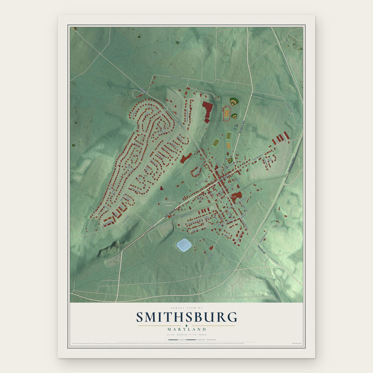
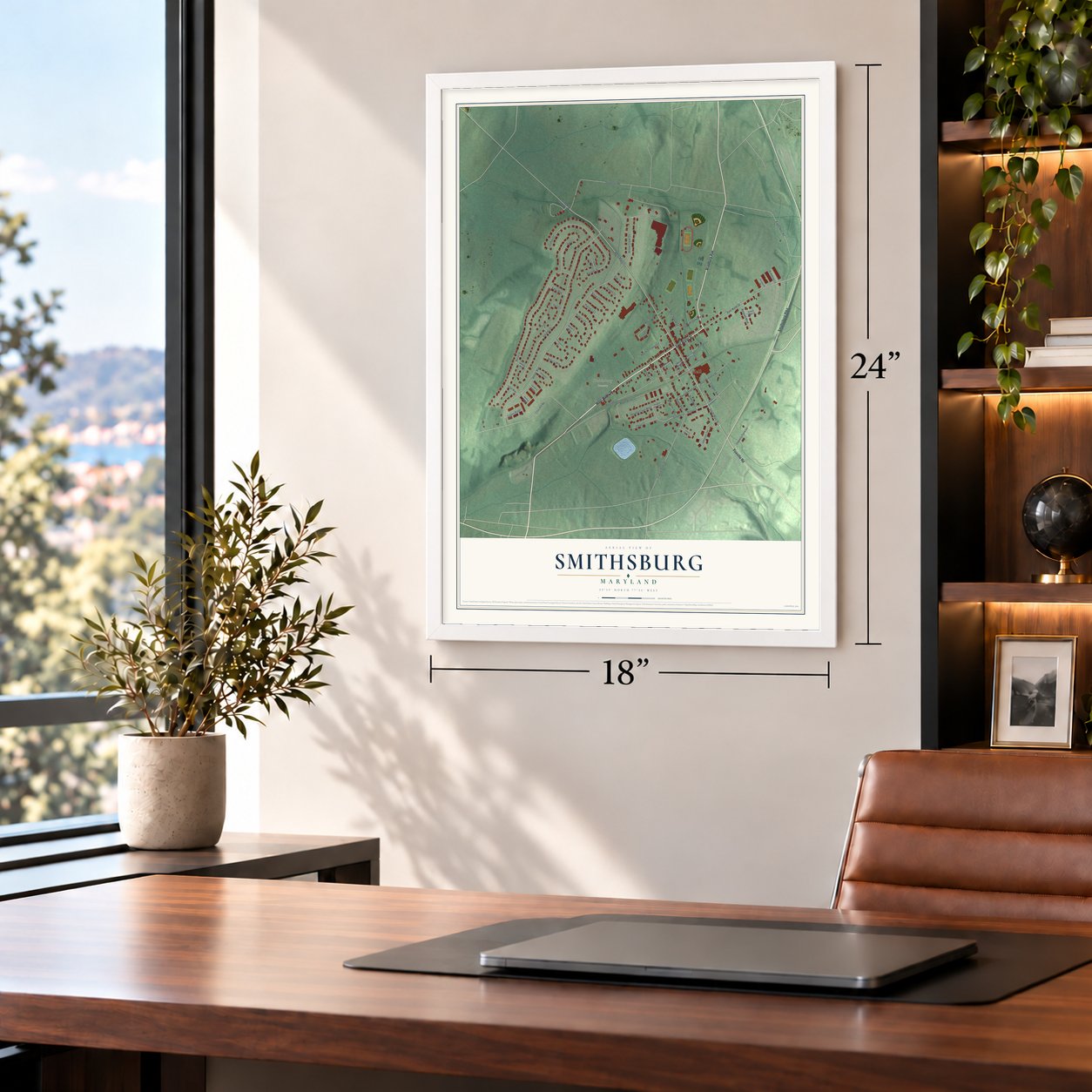
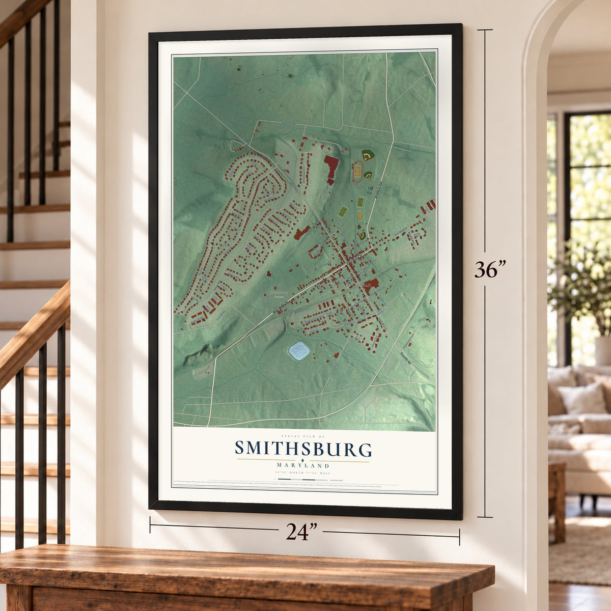
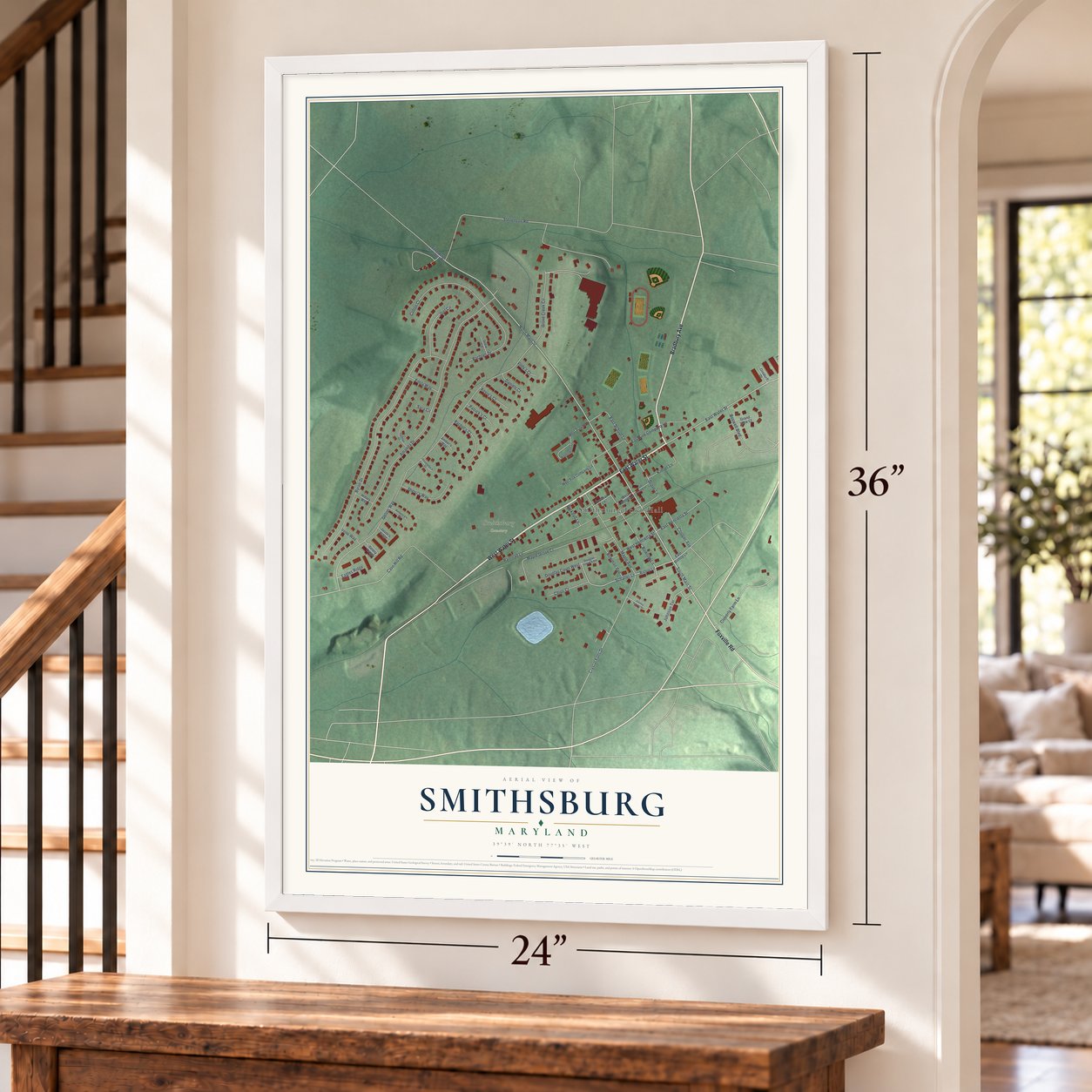
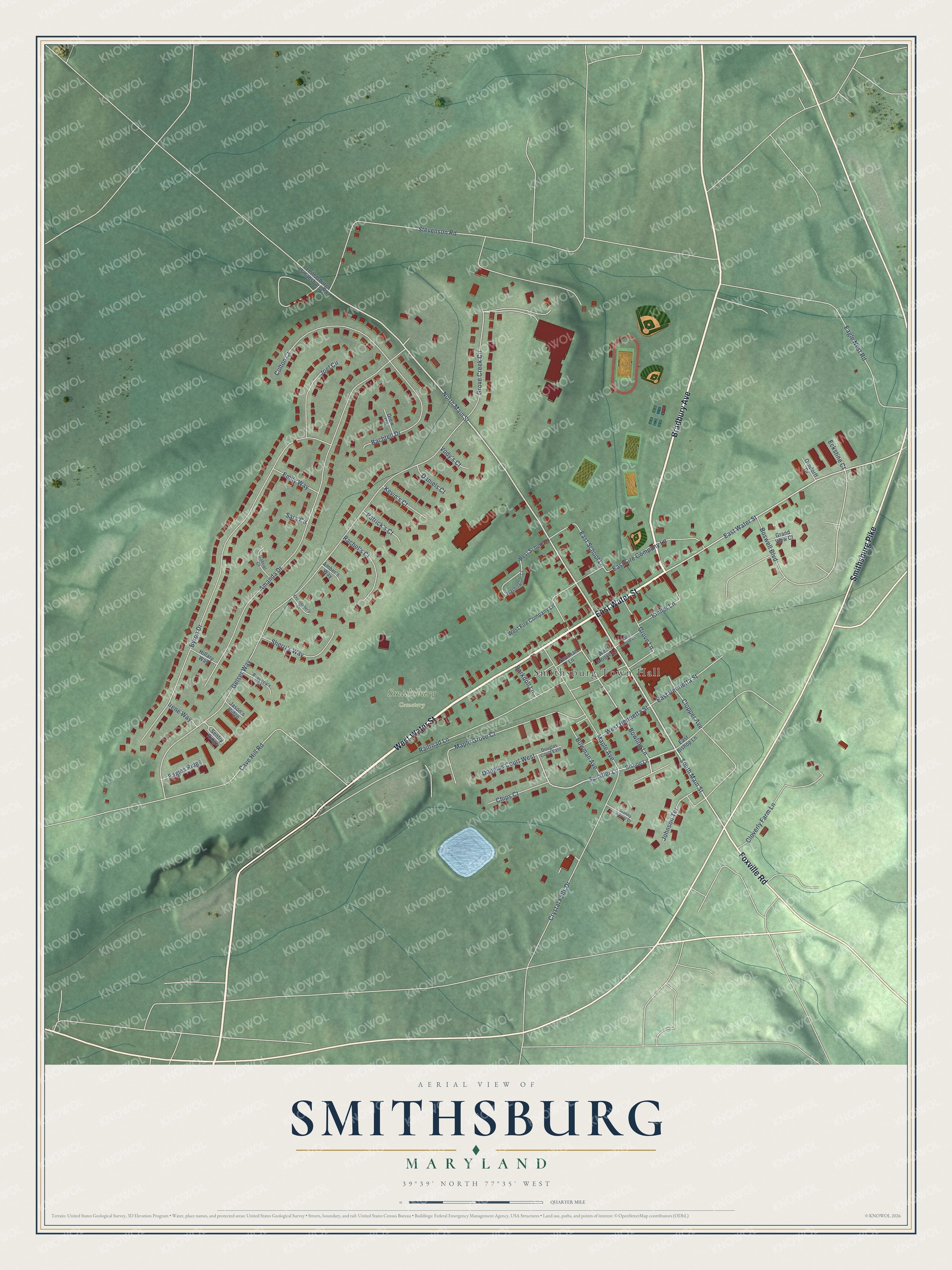
Smithsburg, Maryland Map Art
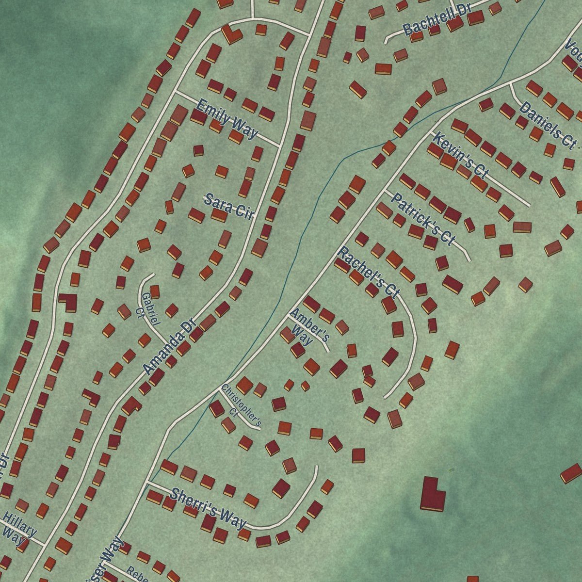
Building by building, with labeled streets and shaded relief.
12" x 18" Archival Matte Print
A Map of Home. A Work of Art.
Explore Smithsburg, Maryland from a whole new perspective. Created using aerial imagery and detailed geographic data, this map captures Smithsburg building by building, with labeled streets, familiar landmarks, and shaded topographical relief that highlights the natural contours of the landscape.
Combining modern data with the timeless character of a vintage atlas, this map is just as interesting up close as it is beautiful on the wall. Whether you grew up in Smithsburg, spent memorable years there, or call it home today, this unique map is a great way to celebrate a place that means something to you. Zoom in on the preview to look for your street, and then order a print to put your memories on the wall.
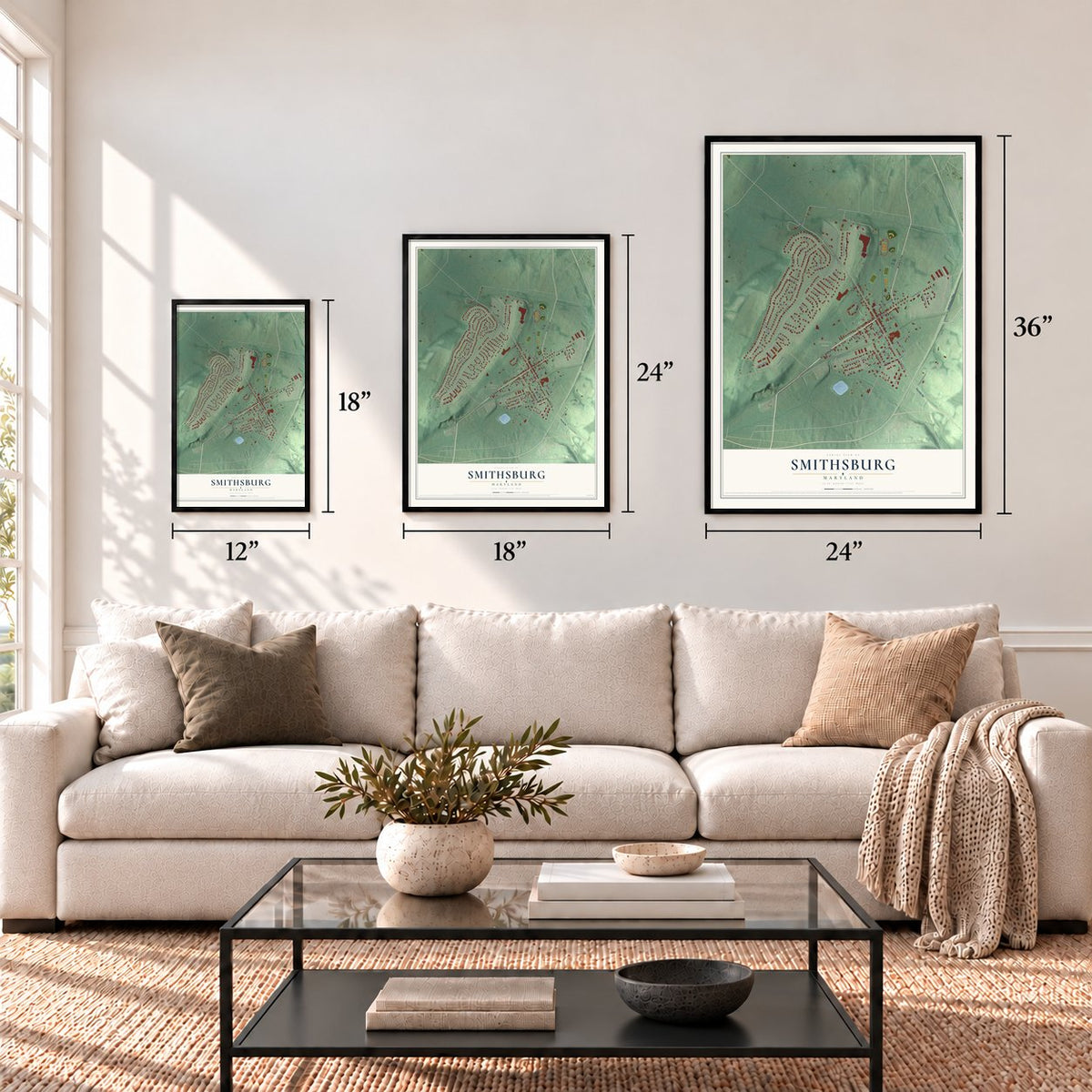
Three ways to hang it
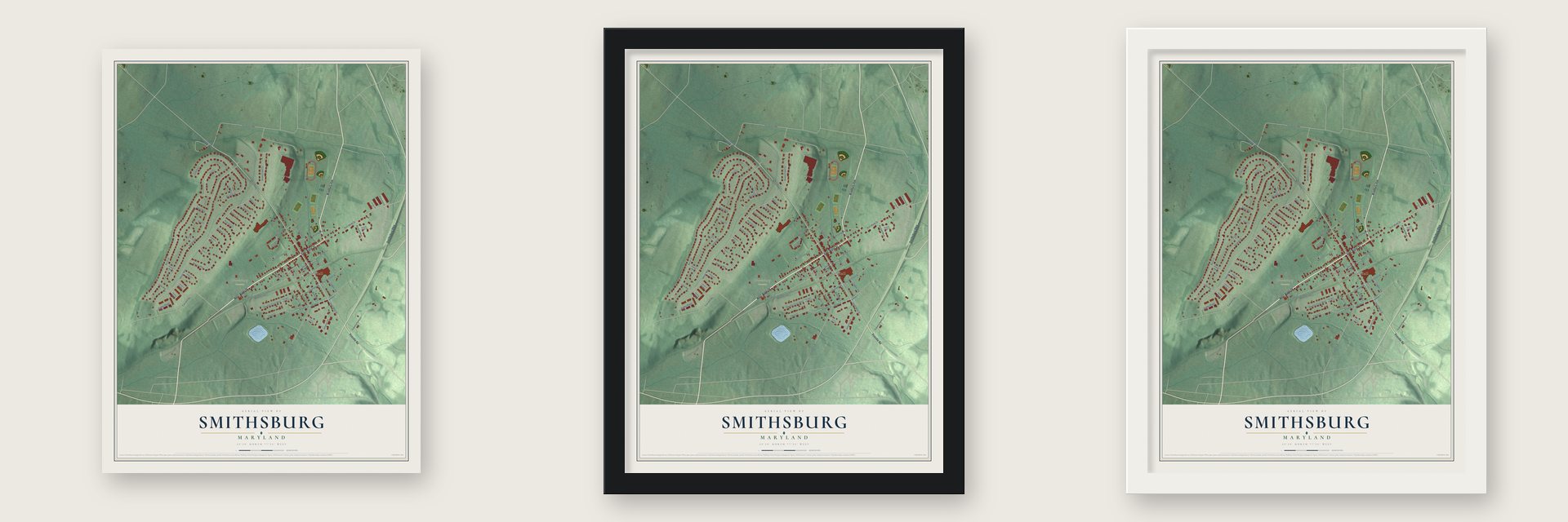
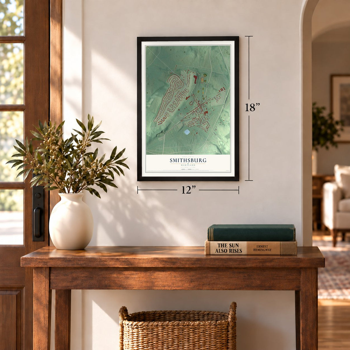
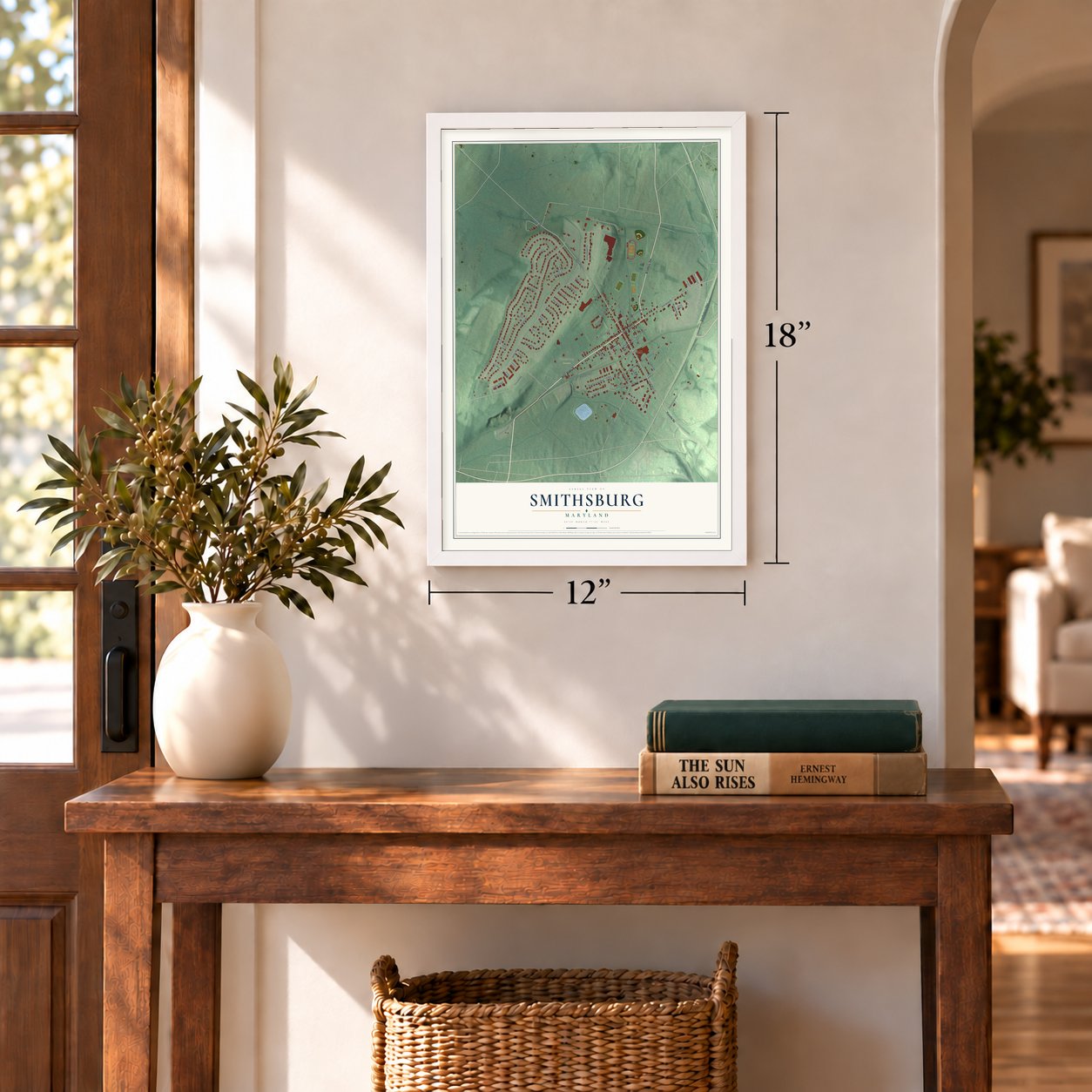
Unframed archival matte, a black wood frame or a white wood frame.
Up close
Geography Worth Displaying
This map was created using accurate cartographic data and authoritative geographic sources, including the U.S. Geological Survey and the Census Bureau. The map brings together terrain, waterways, roads, and building detail. The majority of the streets are labeled, houses are accurately depicted, and the topography is derived from government sources. Combining local data with carefully composed color and shading leads to this beautifully detailed Smithsburg artwork for your wall.
Rather than simply showing street outlines, we’ve included as many of the street names as we could reasonably fit on the map while keeping their names legible. Zoom in on the high resolution preview to see exactly what’s on the map. We truly set out to create a statement piece for anyone who loves Smithsburg. So whether it’s for you, or a gift for someone you love, we hope this map of Smithsburg brings back fond memories.
Read the story behind this map of Smithsburg, Maryland from 2026.
Find your street
Names on the Smithsburg map
Every name below is printed on this map. Look for your street, your school, the park where you played, or the pond down the road.
Places and landmarks2
- Smithsburg Town Hall
- Smithsburg Cemetery
Streets and roads69
- West Water Street
- East Water Street
- Smithsburg Pike
- Foxville Road
- Bradbury Avenue
- South Main Street
- North Main Street
- Bowling Lane
- Schaller Lane
- Geiser Way
- Amanda Drive
- Byron Drive
- Cave Hill Road
- Stevenson Road
- Railroad Lane
- Maple Grove Court
- Eagle Nest Road
- Colton Court
- East Fire Company Lane
- Crystal Falls Drive
- Maple Avenue
- Bachtell Drive
- Cloverly Farm Lane
- Grove Creek Circle
- Sherri's Way
- Grove Lane
- Joel Circle
- East Henrietta Street
- Rachel's Court
- East School Lane
Show all 69 streets
- Kimler Lane
- West Henrietta Street
- Bowman Avenue
- Boswell Boulevard
- Johnson Terrace
- Chips Court
- Clopper Avenue
- Douglas Court West
- Kevin's Court
- Emily Way
- Patrick's Court
- Eagles Ridge
- Daniels Court
- Barkdoll Lane
- Irene Way
- Vody's Court
- Eckstine Court
- Sara Circle
- Bishop Lane
- West School Lane
- West Fire Company Lane
- Newman Lane
- Leitersburg Smithsburg Road
- East Bishop Lane
- Hillary Way
- Sentry Ridge
- West Moose Lane
- Drew Circle
- Grand View Court
- Orndorff Drive
- Amber's Way
- Jason's Ridge
- Washington Court
- Rebecca's Court
- Gabriel Court
- Douglas Court East
- East Moose Lane
- Christopher's Court
- Stanley Hauver Drive
Names are listed as they appear on the printed map. Zoom into the product photos to find them.
About Smithsburg, Maryland
Smithsburg is a town of 2,977 people in Washington County, just west of the presidential retreat at Camp David. Christopher "Stuffle" Smith founded it in 1812 on a tract he bought that had once been called "part of Shadrack's Lot." Migration routes, the railroad and new farm methods shaped its growth, and it was incorporated in 1846. In September 1852 a man named Zittle started the town's first newspaper, The Trumpet.
The Civil War reached Smithsburg in 1862, when it served as a hospital town for soldiers wounded in the battles at South Mountain and Antietam. On the afternoon of July 5, 1863, J.E.B. Stuart's Confederate cavalry, retreating from Gettysburg, traded artillery fire over the town with Union cavalry under General Kilpatrick. The Federal troopers held Smithsburg, and Kilpatrick pushed on toward Boonsboro on July 6. A cannonball from that fight still sits in the wall of a Water Street building.
“Constable Flora was twice knocked down, Price had his arm nearly severed and the bone broken, by a blow from a tomahawk he also had a pistol snapped in his face, which unfortunately failed to go off...Shank was several times felled to the earth, and the whole party more or less injured.”
- Twelve runaways in 1845In May 1845 twelve people escaping slavery in Leesburg, Virginia, passed a house near Smithsburg at three in the morning. The man inside, who called himself a professional slave catcher, rounded up the town constable and six other men to stop them. The travelers carried pistols and tomahawks, while the townsmen had only clubs and sticks. Only four were caught, two here and two at Leitersburg, and the rest are believed to have made it into Pennsylvania.
- The President at St. Ann'sLyndon Johnson passed through Smithsburg many times while he was president because Camp David is so close. On Easter Sunday, March 26, 1967, he attended St. Ann's Episcopal Church with Lady Bird Johnson and their daughter Lynda Bird. The old county history called St. Ann's a pretty stone chapel.
- Lady Bird and the junkyardAs the story goes, in 1963, on the way from Camp David to church in Hagerstown, Lady Bird Johnson had her limousine stop at Elwoods Auto Exchange. She walked up the dirt road and told Elwoods Grimm what she thought of his wrecking yard. Her words are lost, but LBJ Library papers show she found the yard unsightly. Congress passed the Highway Beautification Act two years later, and the Auto Exchange still runs behind a screen of pine trees.
- Smithsburg Days in JuneSmithsburg is known for its apple orchards and dairy farms, and its year runs on hometown events. Smithsburg Days and the Community Volunteer Fire Company Carnival fill June, the Steam and Craft Show comes in September, and Smithsburg Hometown Christmas closes out December.
Keep exploring Maryland
Smithsburg is one of 874 Maryland towns we've mapped. Every dot on the map is a print of its own.
The search covers every state, Maryland first.
Near Smithsburg
Order 2 or more town maps and save 10%. Shown in the size and finish you picked above, so they hang as a set.
- Cavetown 12" x 18" / Archival Matte Print $39.99
- Greensburg 12" x 18" / Archival Matte Print $39.99
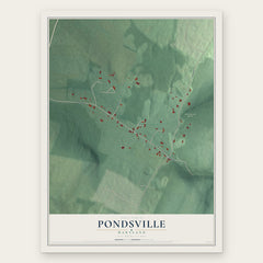
- Pondsville 12" x 18" / Archival Matte Print $39.99

More maps nearby: Edgemont, Chewsville, Jugtown, Leitersburg and Ringgold.
The art of mapping a place
How This Map Was Made
Real places. Remarkable detail. Discover the layers that turn geographic data into a map of home.

The view from above
Aerial imagery reveals the character of the land: woodland, open fields, and the patterns of a place.

The shape of the land
Elevation data brings hills, valleys, and subtle changes in the landscape into view.

The details of home
Roads, waterways, and building footprints come together to make the map feel unmistakably local.

Geography becomes art
Considered color, shading, and typography bring the layers together in a map made for your wall.


Process illustrated with Mendon, Massachusetts. Aerial imagery: USDA NAIP. Terrain: USGS 3D Elevation Program. Map details and finished artwork: KNOWOL.
The Details
About This Print
Choose an archival matte print, or a black or white Ayous wood frame. The archival matte print is unframed.
Select your size and finish above to see the matching product image and price.
Materials & Craftsmanship
A contemporary map with the character of a classic atlas, printed on archival matte paper. Optional frames are made from Ayous wood.
Your printed map does not include the watermark shown in the full-map preview.
Shipping & Delivery
Free shipping within the United States. Every print is made to order in the USA.
Buying a gift? Add a note in your cart and we'll include it. We never put prices in the package.
Prints ship within 2 to 3 business days. Allow 7 to 10 days total from ordering for delivery. Timing may vary during holidays or periods of high order volume.
Read our shipping policy.
Returns and damaged prints
Each print is made to order. Change-of-mind refunds are not available after production.
If your print arrives damaged, misprinted or incorrect, contact support@knowol.com within 30 days of receiving it. Include your order number, photos and a description of the issue.
Read our full refund and replacement policy. For questions about your order, email support@knowol.com.