
Search for another town





Free U.S. delivery 7 to 10 days after you order
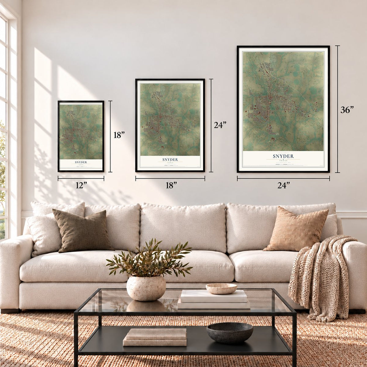
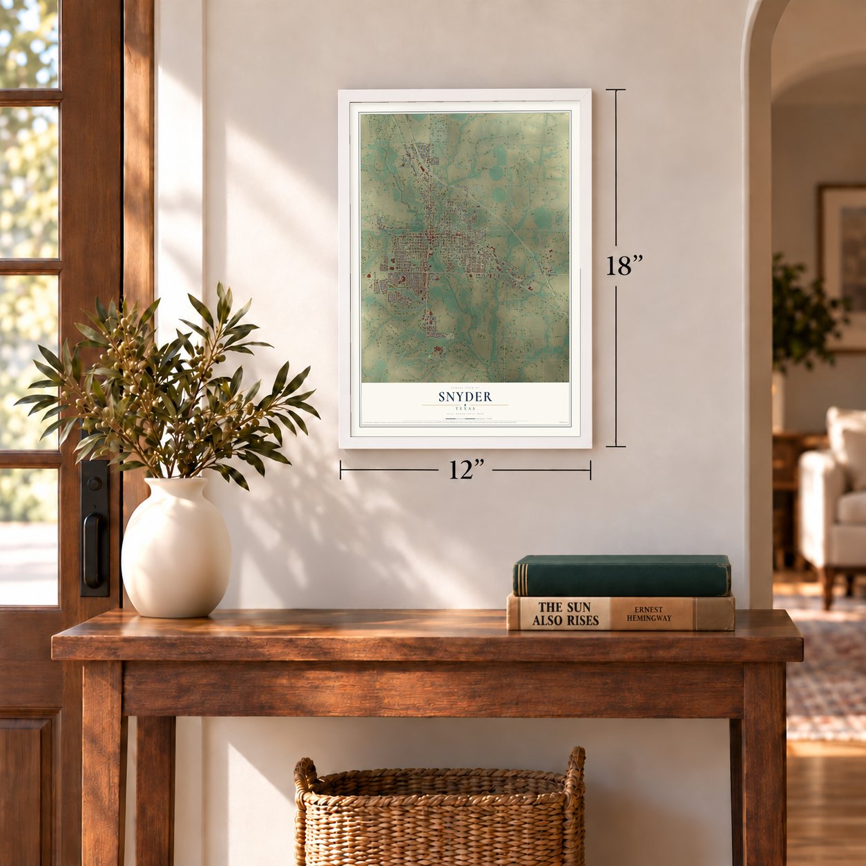
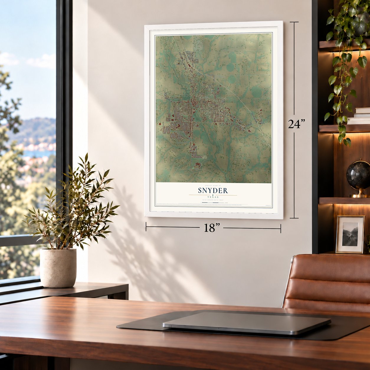
Snyder, Texas Map Art
Building by building, with labeled streets and shaded relief.
12" x 18" Archival Matte Print
A Map of Home. A Work of Art.
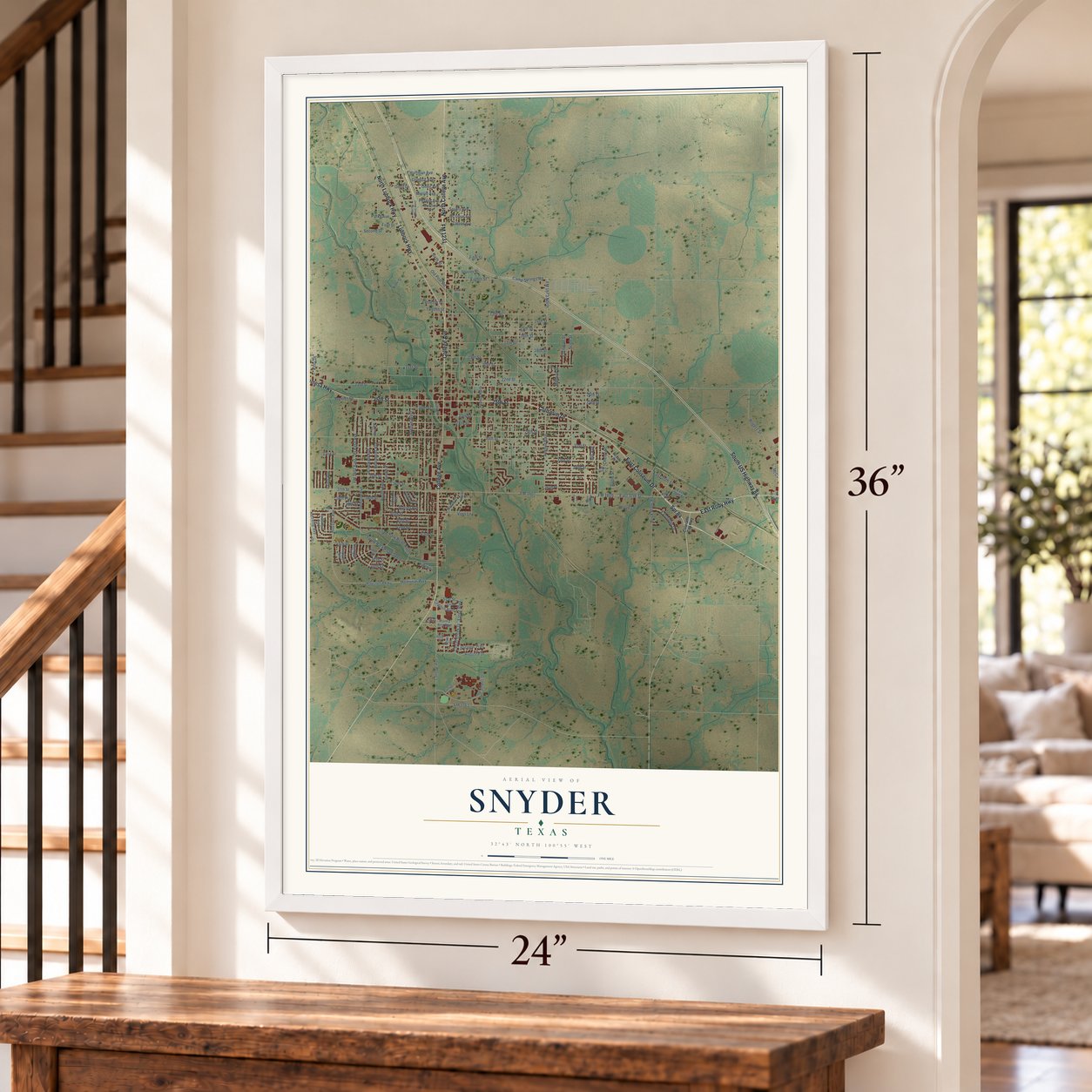
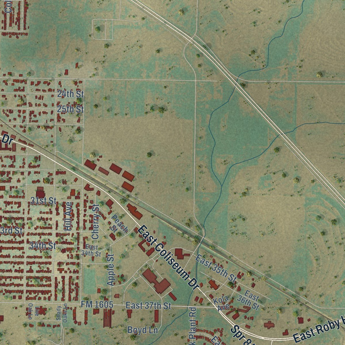
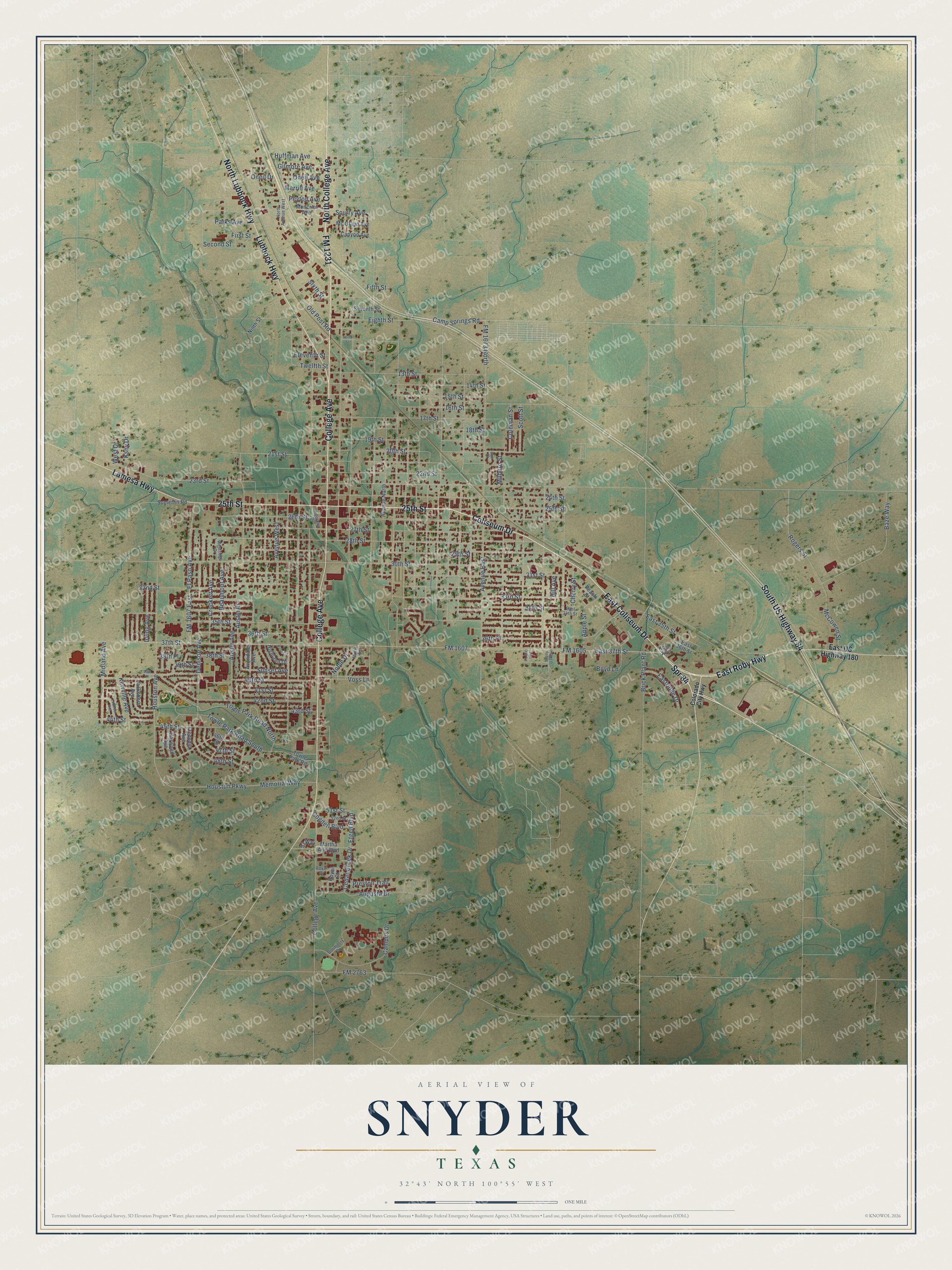
Explore Snyder, Texas from a whole new perspective. Created using aerial imagery and detailed geographic data, this map captures Snyder building by building, with labeled streets, familiar landmarks, and shaded topographical relief that highlights the natural contours of the landscape.
Combining modern data with the timeless character of a vintage atlas, this map is just as interesting up close as it is beautiful on the wall. Whether you grew up in Snyder, spent memorable years there, or call it home today, this unique map is a great way to celebrate a place that means something to you. Zoom in on the preview to look for your street, and then order a print to put your memories on the wall.
Three ways to hang it
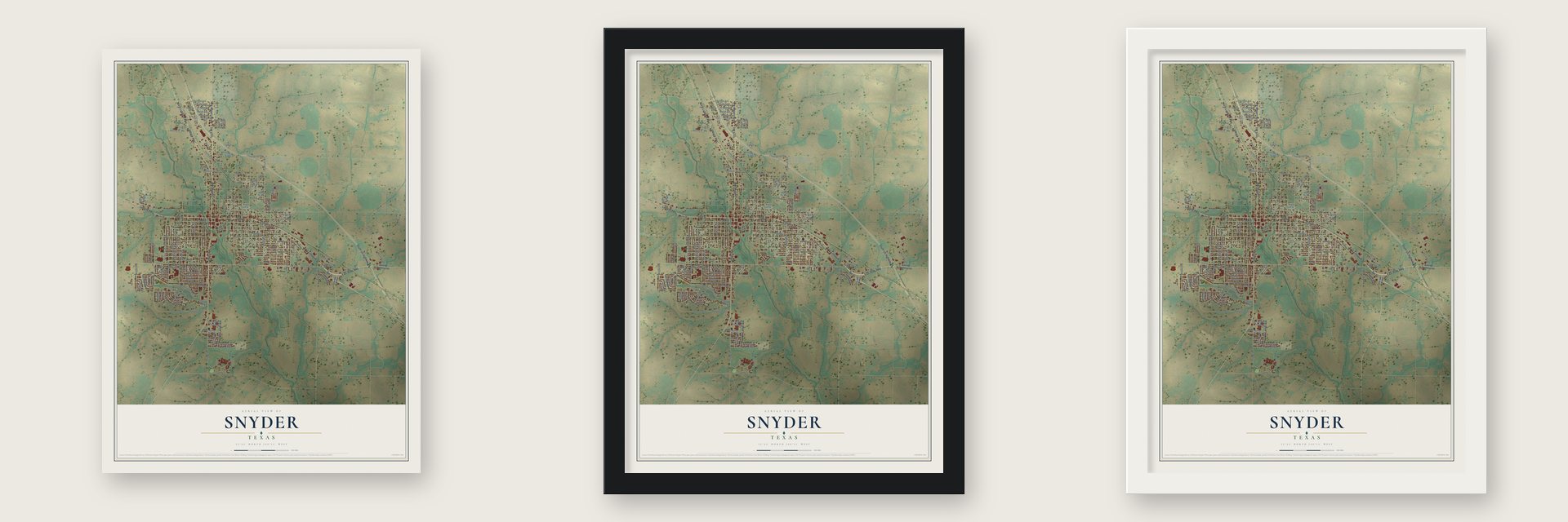
Unframed archival matte, a black wood frame or a white wood frame.
Up close
Geography Worth Displaying
This map was created using accurate cartographic data and authoritative geographic sources, including the U.S. Geological Survey and the Census Bureau. The map brings together terrain, waterways, roads, and building detail. The majority of the streets are labeled, houses are accurately depicted, and the topography is derived from government sources. Combining local data with carefully composed color and shading leads to this beautifully detailed Snyder artwork for your wall.
Rather than simply showing street outlines, we’ve included as many of the street names as we could reasonably fit on the map while keeping their names legible. Zoom in on the high resolution preview to see exactly what’s on the map. We truly set out to create a statement piece for anyone who loves Snyder. So whether it’s for you, or a gift for someone you love, we hope this map of Snyder brings back fond memories.

Find your street
Names on the Snyder map
Every name below is printed on this map. Look for your street, your school, the park where you played, or the pond down the road.
Streets and roads149
- Spr 84
- Coliseum Drive
- East Coliseum Drive
- 25th Street
- FM 1231
- East Roby Highway
- North College Avenue
- Lubbock Highway
- North Lubbock Highway
- College Avenue
- South US Highway 84
- Lamesa Highway
- East 37th Street
- FM 1605
- Huffman Avenue
- Avenue East
- Scurry Avenue
- 30th Street
- 41st Street
- Eighth Street
- 48th Street
- Etgen Boulevard
- FM 1673 North
- FM 1607
- 37th Street
- 23rd Street
- 28th Street
- 26th Street
- 32nd Street
- 31st Street
Show all 149 streets
- 35th Street
- 24th Street
- 27th Street
- 34th Street
- 33rd Street
- 40th Street
- 29th Street
- 22nd Street
- Denison Avenue
- 21st Street
- 42nd Street
- Houston Avenue
- Houston Parkway
- El Paso Avenue
- Towle Park Road North
- 17th Street
- 36th Street
- 20th Street
- 19th Street
- Memorial Way
- Beaumont Avenue
- 13th Street
- FM 1607 East
- Crockett Avenue
- 18th Street
- 44th Street
- 15th Street
- Austin Avenue
- Old Post Road
- Towle Park Road South
- 16th Street
- Avenue West
- 14th Street
- Parks Avenue
- 38th Street
- Baze Way
- 45th Street
- Campus Drive
- 43rd Street
- Rogers Street
- Gilmore Avenue
- Merrill Avenue
- Oneil Avenue
- Oneil Drive
- Irving Avenue
- East 35th Street
- FM 2763
- Eleventh Street
- Peyton Avenue
- Midland Avenue
- 39th Street
- Second Street
- Cedar Creek Drive
- McCowen Street
- Kerrville Avenue
- Sunset Avenue
- Camp Springs Road
- Apple Street
- 36th Place
- Brick Plant Road
- Fifth Street
- Eastridge Drive
- Augusta Drive
- Voss Lane
- 47th Street
- Sixth Street
- Ksny Drive
- Scott Street
- Preston Trail
- Coleman Street
- Cherry Street
- Twelfth Street
- Austin Place
- Cogdell Boulevard
- Hill Avenue
- Boyd Lane
- First Street
- Noble Drive
- 51st Street
- West Drive
- Milburn Street
- 38th Place
- East US Highway 180
- Canyon Avenue
- Avenue North
- Moncrief Avenue
- Martha Ann Boulevard
- Ninth Street
- Avondale Avenue
- Towle Park Road
- Jacksboro Avenue
- East 36th Street
- Seventh Street
- Mc Glaun Avenue
- 46th Street
- Garwood Avenue
- Peach Street
- Highland Drive
- Sumerlin Road
- Kola Avenue
- Fredonia Avenue
- Royal Court
- 53 Way
- Colorado City Highway
- North Avenue West
- Dormitory Drive
- Muriel Drive
- Westridge Drive
- Hidetown Drive
- Royal Drive
- 52nd Street
- East 34th Street
- Lubbock Avenue
- Shady Oaks Lane
- Tenth Street
- Rose Circle
- Live Oak Lane
- 40th Place
- 20th Place
Names are listed as they appear on the printed map. Zoom into the product photos to find them.
About Snyder, Texas
Snyder is a city of 11,438 people and the county seat of Scurry County. In 1878 William Henry "Pete" Snyder, a buffalo hunter and trader from Pennsylvania, opened a trading post beside Deep Creek. Other hunters camped around it in shelters made of buffalo hides, so people called the place Hide Town, and some of its rougher residents earned it a second name, Robber's Roost.
Snyder drew up a town plan in 1882 and invited settlers to come, and the first public school opened that year. When Scurry County was organized in 1884, his settlement became the county seat. By 1892 the town had 600 people, two banks, two churches, a gristmill, a steam gin and two weekly papers, the Scurry County Citizen and the Coming West. Snyder got its city charter in 1907, the year work started on the Roscoe, Snyder and Pacific Railway, and the 1910 census counted 2,514 people. The Santa Fe line followed in 1911.
“Snyder was left an ugly city with many vacant or half-completed buildings.”
- Oil on the Canyon ReefSnyder lived on farming and ranching until 1948, when drillers struck oil north of town in a formation called the Canyon Reef. The population leaped from about 4,000 to more than 12,000 within a year, and a city of tents and trailers grew on the north edge. The boom ended late in 1951 after a peak near 16,000, and the town settled at 11,000. In 1973 Scurry County's oil companies brought up their billionth barrel.
- An All-American City in 1968After the boom, city officials spent the 1960s fixing up the town, and a planning committee formed in 1964 worked to give low-income residents better chances. In 1968 a contest run by the National Municipal League and Look Magazine named Snyder one of just eleven All-American cities in the country.
- The Diamond M MuseumOilman and rancher Clarence T. McLaughlin started the Diamond M Foundation in 1950 to collect the work of American artists. His museum opened in 1964 and doubled in size five years later. By 1990 it held more than 80 bronzes and 200 paintings, among them works by Peter Hurd and Andrew Wyeth.
- Western Texas College, 1971Until 1965, Black children in Snyder had to attend the separate Abraham Lincoln School, which went only through eighth grade. After years of failed tries, a plan for a junior college won approval in 1969, and Western Texas College welcomed 649 students in the fall of 1971. Enrollment passed 1,000 by 1986.
- The Altrurian Club, 1908Snyder's women formed a literary circle called the Altrurian Club in 1908, and it led to eight more study clubs. While the public schools were still taking shape, these clubs did real teaching work for the town, and later they turned to public service.
Keep exploring Texas
Snyder is one of 2,049 Texas towns we've mapped. Every dot on the map is a print of its own.
The search covers every state, Texas first.
Near Snyder
Order 2 or more town maps and save 10%. Shown in the size and finish you picked above, so they hang as a set.
- Ira 12" x 18" / Archival Matte Print $39.99
- Hermleigh 12" x 18" / Archival Matte Print $39.99
- Fluvanna 12" x 18" / Archival Matte Print $39.99
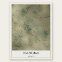
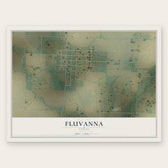
More maps nearby: Colorado City, Loraine, Westbrook, Lake Colorado City and Rotan.
The art of mapping a place
How This Map Was Made
Real places. Remarkable detail. Discover the layers that turn geographic data into a map of home.

The view from above
Aerial imagery reveals the character of the land: woodland, open fields, and the patterns of a place.

The shape of the land
Elevation data brings hills, valleys, and subtle changes in the landscape into view.

The details of home
Roads, waterways, and building footprints come together to make the map feel unmistakably local.

Geography becomes art
Considered color, shading, and typography bring the layers together in a map made for your wall.


Process illustrated with Mendon, Massachusetts. Aerial imagery: USDA NAIP. Terrain: USGS 3D Elevation Program. Map details and finished artwork: KNOWOL.
The Details
About This Print
Choose an archival matte print, or a black or white Ayous wood frame. The archival matte print is unframed.
Select your size and finish above to see the matching product image and price.
Materials & Craftsmanship
A contemporary map with the character of a classic atlas, printed on archival matte paper. Optional frames are made from Ayous wood.
Your printed map does not include the watermark shown in the full-map preview.
Shipping & Delivery
Free shipping within the United States. Every print is made to order in the USA.
Buying a gift? Add a note in your cart and we'll include it. We never put prices in the package.
Prints ship within 2 to 3 business days. Allow 7 to 10 days total from ordering for delivery. Timing may vary during holidays or periods of high order volume.
Read our shipping policy.
Returns and damaged prints
Each print is made to order. Change-of-mind refunds are not available after production.
If your print arrives damaged, misprinted or incorrect, contact support@knowol.com within 30 days of receiving it. Include your order number, photos and a description of the issue.
Read our full refund and replacement policy. For questions about your order, email support@knowol.com.