
Search for another town





Free U.S. delivery 7 to 10 days after you order
Spring Hill, Kansas Map Art
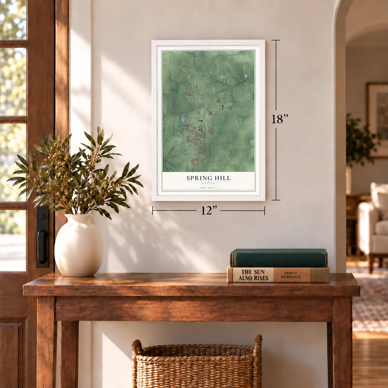
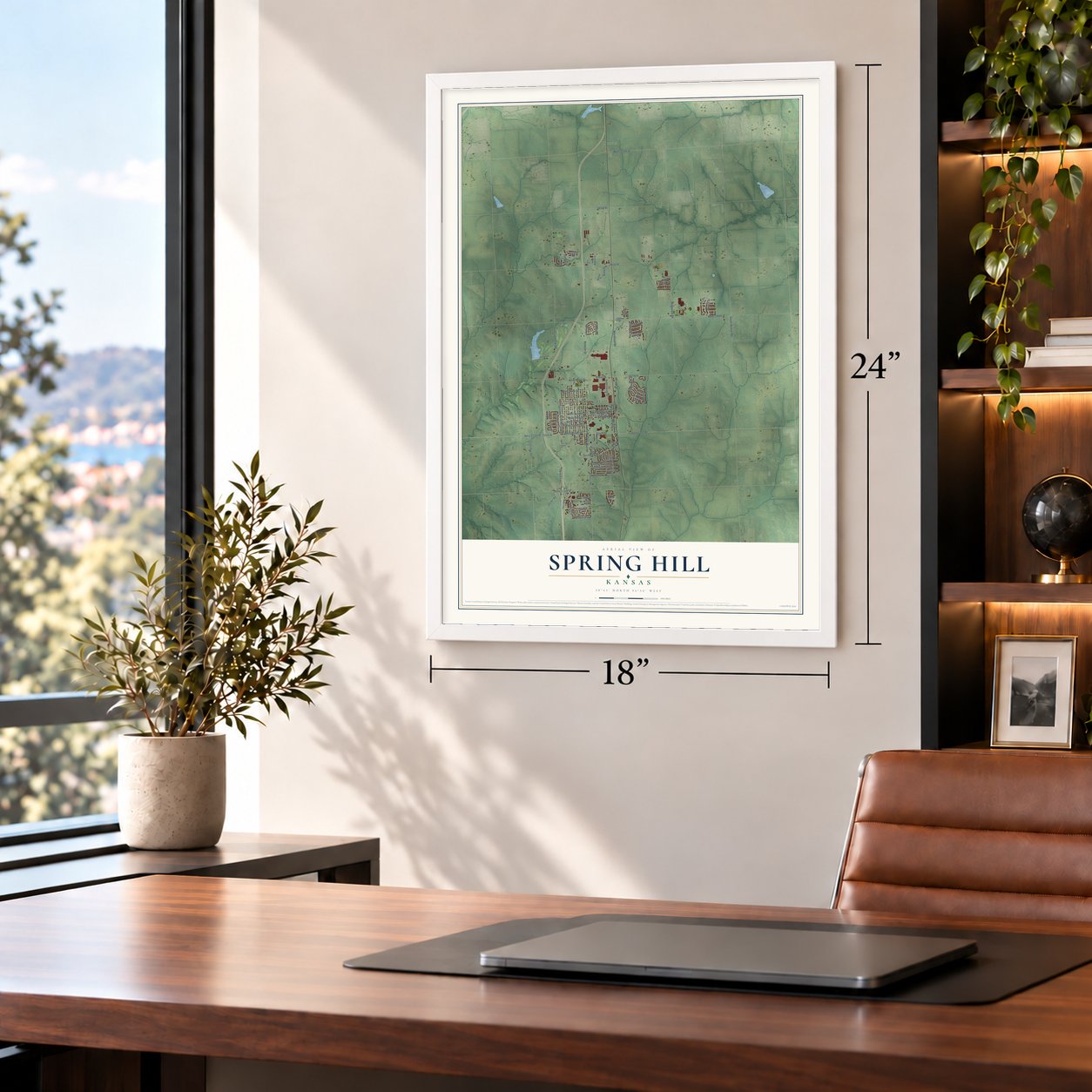
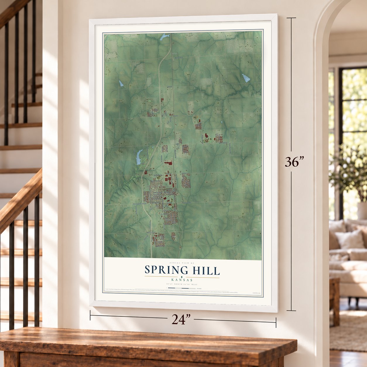
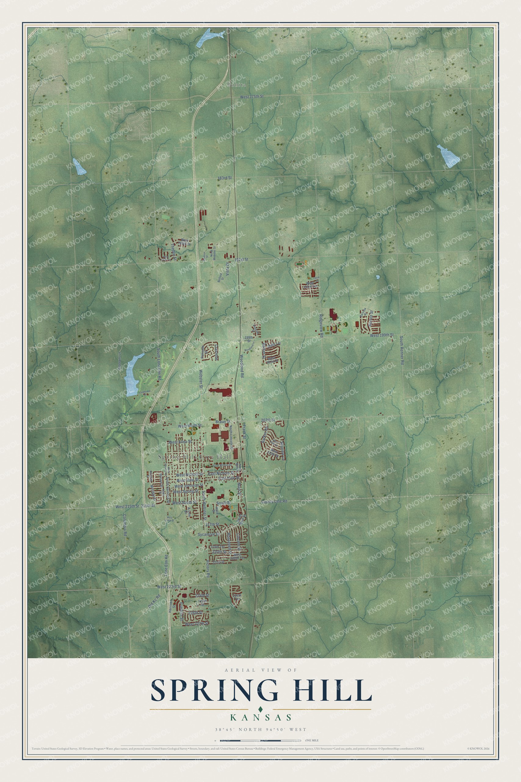
A new map of Spring Hill, Kansas, made in 2026 and printed to order on thick archival matte paper.
12" x 18" Archival Matte Print
A Map of Home. A Work of Art.
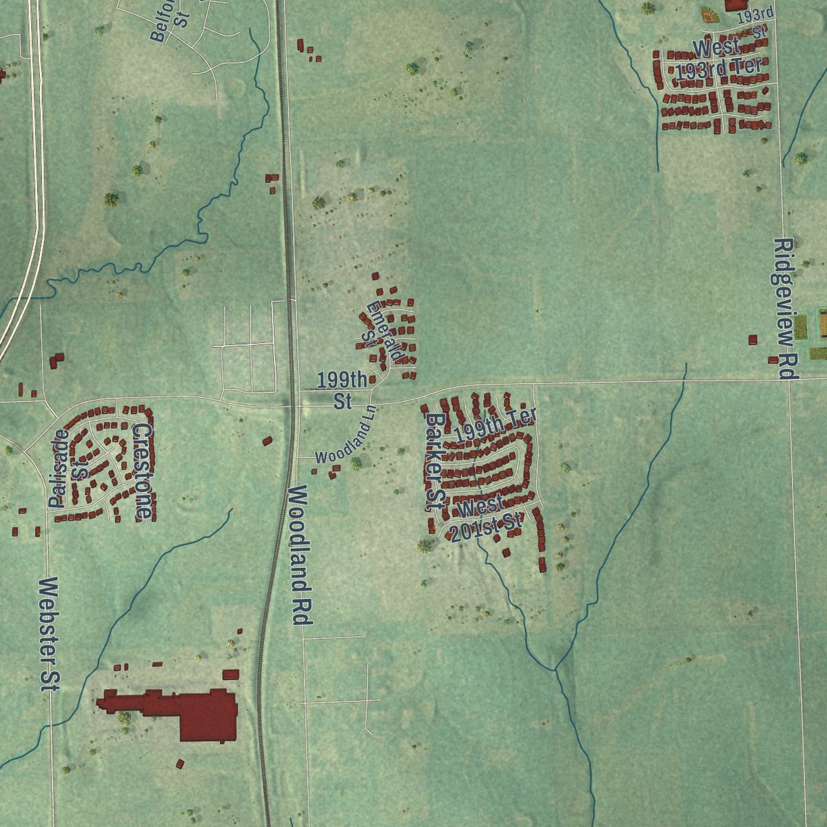
Explore Spring Hill, Kansas from a whole new perspective. Created using aerial imagery and detailed geographic data, this map captures Spring Hill building by building, with labeled streets, familiar landmarks, and shaded topographical relief that highlights the natural contours of the landscape.
Combining modern data with the timeless character of a vintage atlas, this map is just as interesting up close as it is beautiful on the wall. Whether you grew up in Spring Hill, spent memorable years there, or call it home today, this unique map is a great way to celebrate a place that means something to you. Zoom in on the preview to look for your street, and then order a print to put your memories on the wall.
Three ways to hang it
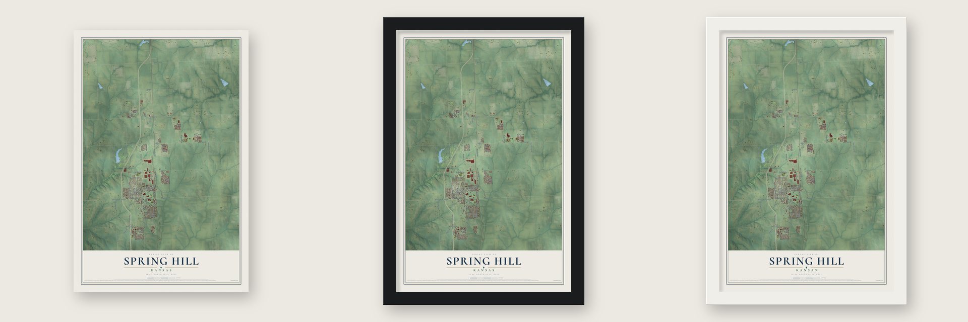
Unframed archival matte, a black wood frame or a white wood frame.
Up close
Geography Worth Displaying
This map was created using accurate cartographic data and authoritative geographic sources, including the U.S. Geological Survey and the Census Bureau. The map brings together terrain, waterways, roads, and building detail. The majority of the streets are labeled, houses are accurately depicted, and the topography is derived from government sources. Combining local data with carefully composed color and shading leads to this beautifully detailed Spring Hill artwork for your wall.
Rather than simply showing street outlines, we’ve included as many of the street names as we could reasonably fit on the map while keeping their names legible. Zoom in on the high resolution preview to see exactly what’s on the map. We truly set out to create a statement piece for anyone who loves Spring Hill. So whether it’s for you, or a gift for someone you love, we hope this map of Spring Hill brings back fond memories.
Read the story behind this map of Spring Hill, Kansas from 2026.

About Spring Hill, Kansas
Spring Hill is a city of 7,952 people in Johnson County, about ten miles south of Olathe. James B. Hovey reached the site in March 1857, and William Mavity arrived two weeks later to claim the ground where the depot would one day stand. Hovey and E. F. Davis held the town site together and had it surveyed on May 18, 1857, and Hovey named it for Spring Hill near Mobile, Alabama, a town he thought was one of the most beautiful anywhere.
That summer Hovey put up the first building, the Spring Hill Hotel, and when the post office opened in the fall he became its first postmaster. In January 1858 the owners of the site formed a town company and elected Hovey president. The Methodists organized that spring, the first schoolhouse went up, and Mrs. Duvall taught the first school there that summer.
“Being somewhat enthusiastic in my estimation of its future, it having all advantages of timber and water, and on a line that must be traveled between Olathe and Paola, I concluded to myself, as there was no one else to conclude with, that this was a good place for a town.”
- The depot that came backWhen the railroad reached the county in 1869, its engineers wanted Spring Hill to pay the $15,000 cost of cutting through rock to the hilltop town. The town refused, so the tracks ran a half mile east and the station went to Ocheltree, two miles north, where people had to fetch their mail.
- Kansas's first woman doctorCelia Ann Dayton, a doctor from Vermont, moved to Spring Hill in January 1859 and became the first woman to practice medicine in Kansas. Her adopted son Hiram Eugene, also a doctor, was killed in January 1862 after he was found out as a Union spy. That same year she divorced her husband, a rare step at the time. She often helped Black refugees and is said to have worked with the Underground Railroad.
- A bluff against QuantrillIn the fall of 1862, Quantrill's Raiders were headed for Spring Hill when a farmer met them on the road and calmly told them the town was full of soldiers. There were none, but the raiders turned away. They returned in 1863, looted the town's businesses and robbed nearby farmers, and at least one resident died.
- The Standard Mills of 1871Miller, Gristy & Jenkinson built the Standard Mills in 1871 for $25,000. The mill rose three stories over its basement, ran four sets of buhrs and could grind eighty barrels of flour in twenty-four hours. H. L. McLachlin & Bro. took it over on June 1, 1882.
- The tornado of May 20, 1957Around 7:00 p.m., the F5 Ruskin Heights tornado tore through Spring Hill, wrecking the Elston Steel Factory, 21 homes and 18 barns and damaging trees and gravestones in the cemetery. The town's only deaths were Isam and Barbara Davis and their young daughters, Tamara and Pamela, who were caught as they ran for their station wagon. Davis Street carries the family's name.
Find your street
Names on the Spring Hill map
Every name below is printed on this map. Look for your street, your school, the park where you played, or the pond down the road.
Places and landmarks2
- Spring Hill City Hall
- Bonita
Streets and roads85
- West 215th Street
- West South Street
- South Street
- East Nichols Street
- South Webster Street
- Webster Street
- Frank Street
- Braun Street
- East Hale Street
- Woodland Road
- 215th Street
- Columbia Road
- West 227th Street
- Main Street
- West Johnson Street
- Lone Elm Road
- South Renner Road
- West 199th Street
- 207th Street
- 191st Street
- South Lone Elm Road
- Ridgeview Road
- West 223rd Street
- Victory Road
- Lincoln Street
- West 175th Street
- Skyview Lane
- Franklin Street
- Sycamore Drive
- West North Street
Show all 85 streets
- West Nichols Street
- Roosevelt Street
- 183rd Street
- West Spring Street
- 226th Street
- 220th Street
- West Hale Street
- West Allen Street
- Barker Road
- 224th Street
- County Line Road
- Norton Street
- Old Kc Road
- 217th Street
- Vista Drive
- Barker Street
- Theden Street
- Crestone
- South Main Street
- 199th Street
- Milridge Street
- Wilson Street
- North Lincoln Street
- 219th Terrace
- Harrison Street
- West 220th Terrace
- West 193rd Terrace
- South Harrison Street
- West 210th Street
- Veterans Lane
- West 189th Street
- Race Street
- West 201st Street
- 199th Terrace
- Palisade Street
- 221st Street
- A-Line Drive
- 225th Street
- 224th Terrace
- Barstow Street
- Noble Street
- East Wilson Street
- North Webster Street
- Emerald Street
- Belford Street
- Millridge Street
- North Main Street
- North Harrison Street
- Madison Street
- West 209th Street
- West 190th Terrace
- Woodland Lane
- Clubhouse Drive
- 193rd Street
- West 216th Street
Names are listed as they appear on the printed map. Zoom into the product photos to find them.
The art of mapping a place
How This Map Was Made
Real places. Remarkable detail. Discover the layers that turn geographic data into a map of home.

The view from above
Aerial imagery reveals the character of the land: woodland, open fields, and the patterns of a place.

The shape of the land
Elevation data brings hills, valleys, and subtle changes in the landscape into view.

The details of home
Roads, waterways, and building footprints come together to make the map feel unmistakably local.

Geography becomes art
Considered color, shading, and typography bring the layers together in a map made for your wall.


Process illustrated with Mendon, Massachusetts. Aerial imagery: USDA NAIP. Terrain: USGS 3D Elevation Program. Map details and finished artwork: KNOWOL.
The Details
About This Print
Choose an archival matte print, or a black or white Ayous wood frame. The archival matte print is unframed.
Select your size and finish above to see the matching product image and price.
Materials & Craftsmanship
A contemporary map with the character of a classic atlas, printed on archival matte paper. Optional frames are made from Ayous wood.
Your printed map does not include the watermark shown in the full-map preview.
Shipping & Delivery
Free shipping within the United States. Every print is made to order in the USA.
Buying a gift? Add a note in your cart and we'll include it. We never put prices in the package.
Prints ship within 2 to 3 business days. Allow 7 to 10 days total from ordering for delivery. Timing may vary during holidays or periods of high order volume.
Read our shipping policy.
Returns and damaged prints
Each print is made to order. Change-of-mind refunds are not available after production.
If your print arrives damaged, misprinted or incorrect, contact support@knowol.com within 30 days of receiving it. Include your order number, photos and a description of the issue.
Read our full refund and replacement policy. For questions about your order, email support@knowol.com.
Find your town
Looking for another city?
Find a map of home in our Kansas collection, or any town in the country.
Nearby
Maps of towns near Spring Hill
Know someone from one of these towns? Their map makes a great gift.
 Gardner
, Kansas
From $39.99See the map
 Bucyrus
, Kansas
From $39.99See the map
 Hillsdale
, Kansas
From $39.99See the map
More maps nearby: Edgerton, Aubry, Olathe, Stilwell and Somerset.