
Search for another town

Free U.S. delivery 7 to 10 days after you order
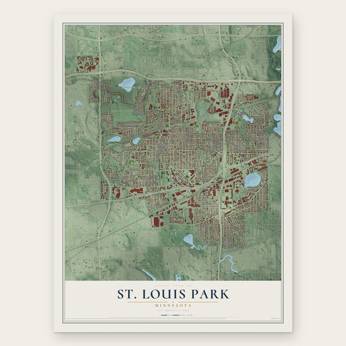
St. Louis Park, Minnesota Map Art
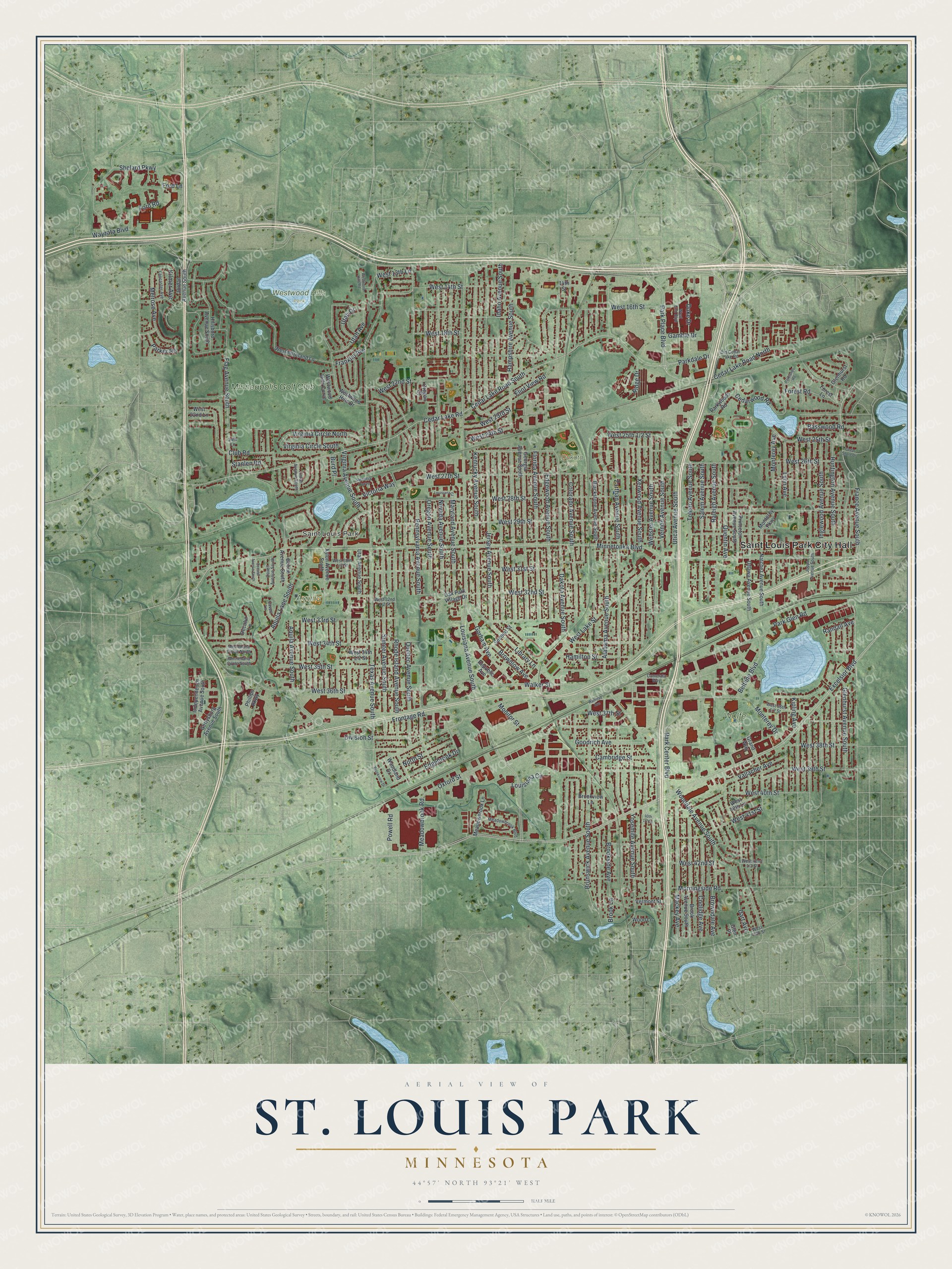
Building by building, with labeled streets and shaded relief.
12" x 18" Archival Matte Print
A Map of Home. A Work of Art.
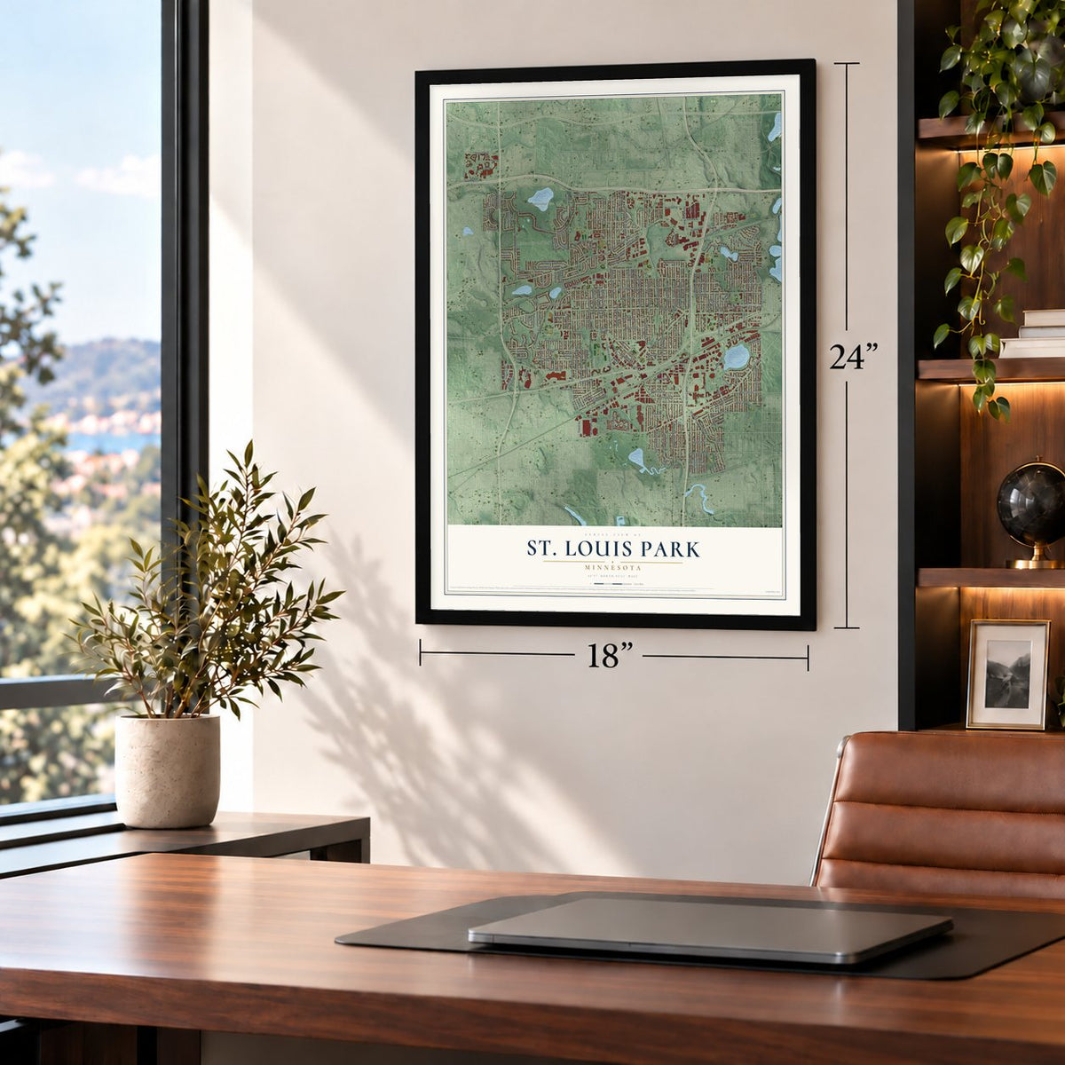
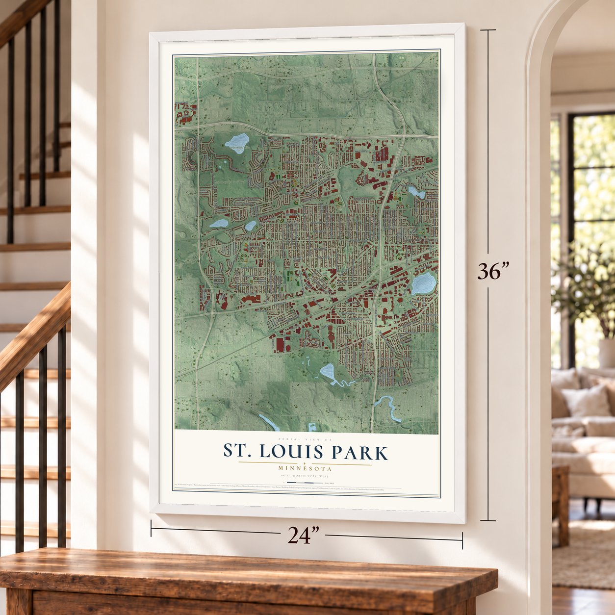
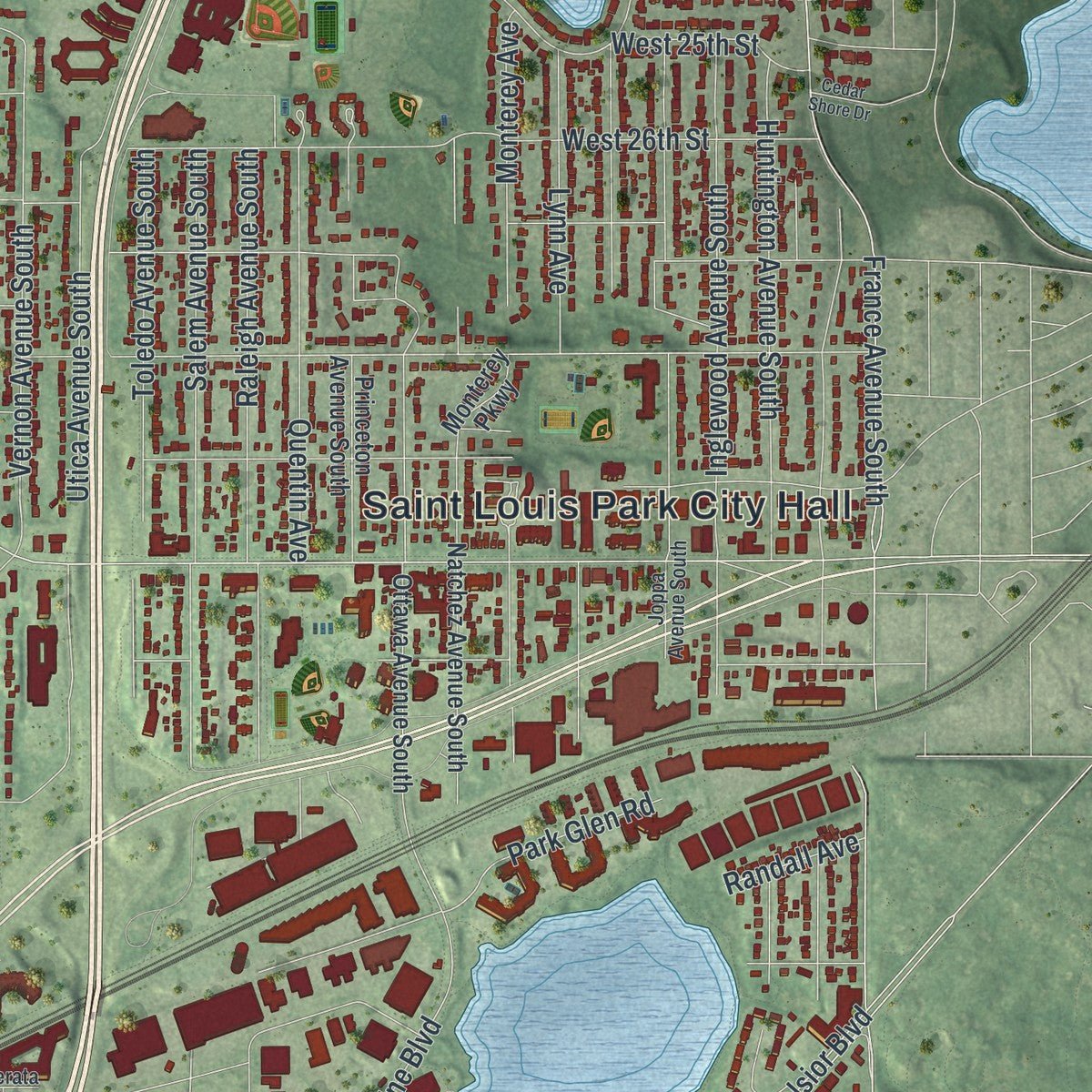
Explore St. Louis Park, Minnesota from a whole new perspective. Created using aerial imagery and detailed geographic data, this map captures St. Louis Park building by building, with labeled streets, familiar landmarks, and shaded topographical relief that highlights the natural contours of the landscape.
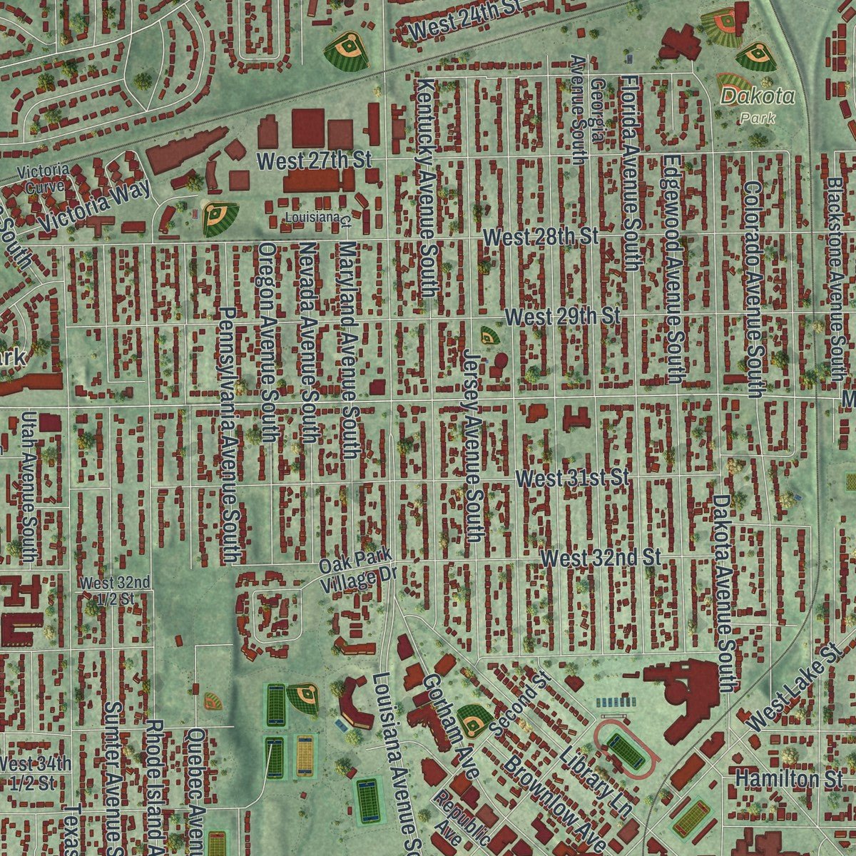
Combining modern data with the timeless character of a vintage atlas, this map is just as interesting up close as it is beautiful on the wall. Whether you grew up in St. Louis Park, spent memorable years there, or call it home today, this unique map is a great way to celebrate a place that means something to you. Zoom in on the preview to look for your street, and then order a print to put your memories on the wall.
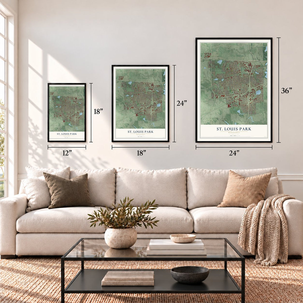
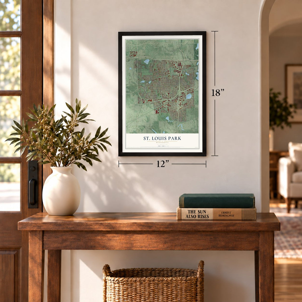
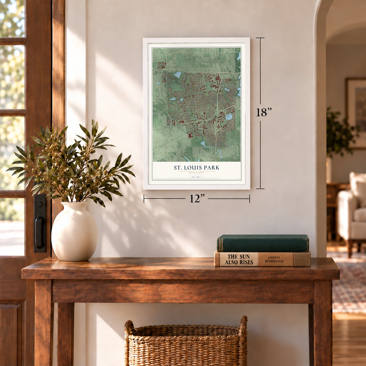
Three ways to hang it
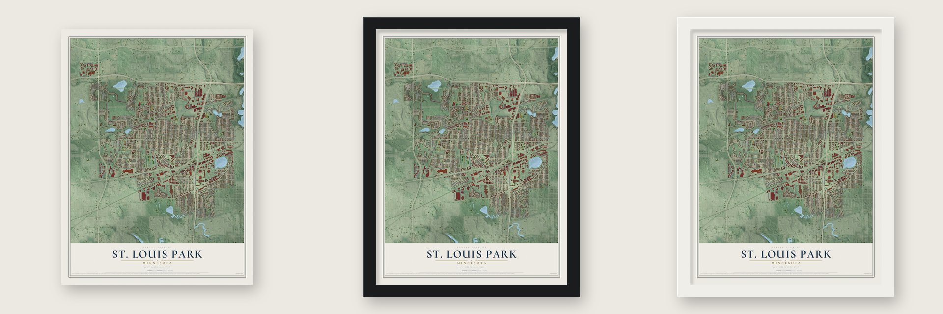
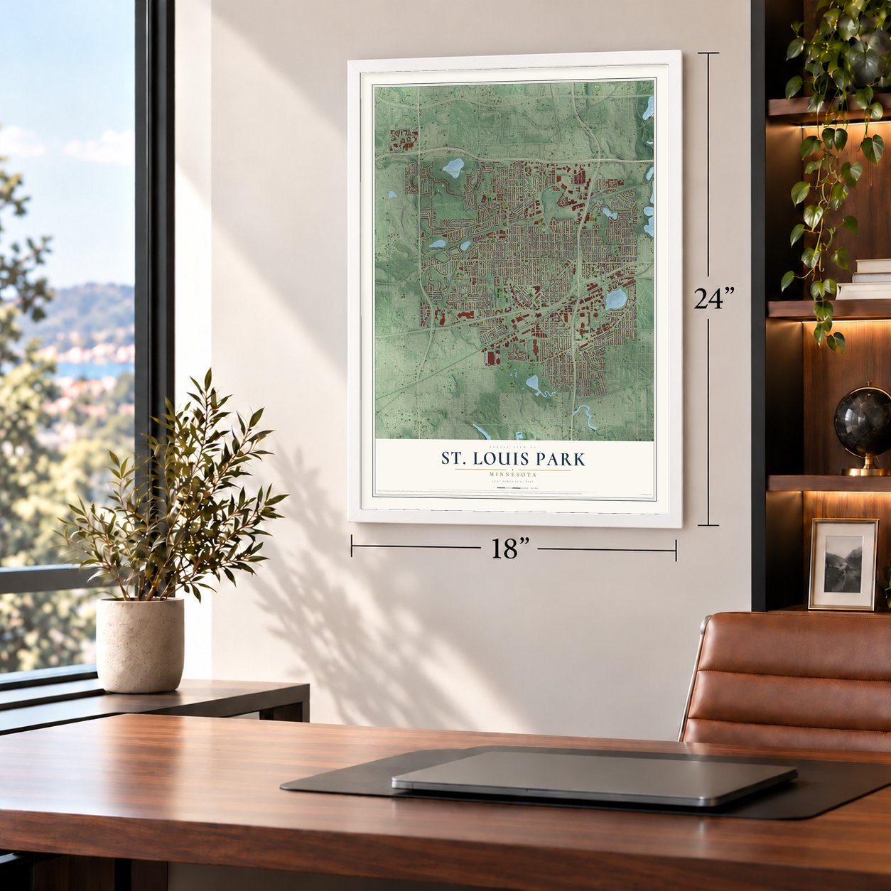
Unframed archival matte, a black wood frame or a white wood frame.
Up close
Geography Worth Displaying
This map was created using accurate cartographic data and authoritative geographic sources, including the U.S. Geological Survey and the Census Bureau. The map brings together terrain, waterways, roads, and building detail. The majority of the streets are labeled, houses are accurately depicted, and the topography is derived from government sources. Combining local data with carefully composed color and shading leads to this beautifully detailed St. Louis Park artwork for your wall.
Rather than simply showing street outlines, we’ve included as many of the street names as we could reasonably fit on the map while keeping their names legible. Zoom in on the high resolution preview to see exactly what’s on the map. We truly set out to create a statement piece for anyone who loves St. Louis Park. So whether it’s for you, or a gift for someone you love, we hope this map of St. Louis Park brings back fond memories.
Read the story behind this map of St. Louis Park, Minnesota from 2026.
Find your street
Names on the St. Louis Park map
Every name below is printed on this map. Look for your street, your school, the park where you played, or the pond down the road.
Places and landmarks7
- Saint Louis Park City Hall
- Saint Louis Park
- Aquila Park
- Dakota Park
- Westwood Hills Park
- Wolfe Park
- Minneapolis Golf Club
Streets and roads182
- Dakota Avenue South
- Zarthan Avenue South
- West 37th Street
- Yosemite Avenue South
- Cedar Lake Road North
- Colorado Avenue South
- Rhode Island Avenue South
- West 16th Street
- Sumter Avenue South
- Franklin Avenue
- Goodrich Avenue
- Minnetonka Boulevard
- West 28th Street
- France Avenue South
- West 35th Street
- Wooddale Avenue South
- Xenwood Avenue South
- Kentucky Avenue South
- West 42nd Street
- Edgewood Avenue South
- Park Place Boulevard
- Monterey Avenue
- Excelsior Boulevard
- Louisiana Avenue South
- Alabama Avenue South
- Texas Avenue South
- West 36th Street
- Brunswick Avenue South
- West 29th Street
- West Lake Street
Show all 182 streets
- West 31st Street
- Pennsylvania Avenue South
- Utica Avenue South
- West 26th Street
- West 27th Street
- Hampshire Avenue South
- Webster Avenue South
- Flag Avenue South
- Wayzata Boulevard
- Idaho Avenue South
- West 34th Street
- Jersey Avenue South
- Aquila Avenue South
- Virginia Avenue South
- Cedar Lake Road
- Vernon Avenue South
- Quebec Avenue South
- West 33rd Street
- Quentin Avenue
- West 39th Street
- Glenhurst Avenue South
- Inglewood Avenue South
- Nevada Avenue South
- Raleigh Avenue South
- Cedar Lake Road South
- Huntington Avenue South
- Oregon Avenue South
- Oxford Street
- West 23rd Street
- Salem Avenue South
- Florida Avenue South
- Walker Street
- West 32nd Street
- Toledo Avenue South
- West 41st Street
- West 18th Street
- West 22nd Street
- Lynn Avenue
- Maryland Avenue South
- West 25th Street
- Ford Road
- Kipling Avenue
- West 24th Street
- Cambridge Street
- West 14th Street
- Frontage Road
- Park Center Boulevard
- West 40th Street
- West 38th Street
- Shelard Parkway
- Library Lane
- Brookside Avenue
- Park Glen Road
- Cedarwood Road
- Melrose Avenue
- Gorham Avenue
- Beltline Boulevard
- Morningside Road
- Virginia Circle North
- Browndale Avenue
- Edgebrook Drive
- Kilmer Avenue
- Powell Road
- Eliot View Road
- Utah Avenue
- Virginia Circle South
- Aquila Lane South
- Hamilton Street
- Ridge Drive
- Vallacher Avenue
- Division Street
- West 13th Lane
- Monterey Drive
- Meadowbrook Road
- Forest Road
- North Street
- Brownlow Avenue
- Louisiana Circle
- Basswood Road
- Victoria Way
- Coolidge Avenue
- Mackey Avenue
- Utah Drive
- Dart Avenue
- Club Road
- Parkdale Drive
- Stanlen Road
- Burd Place
- Parker Road
- Gamble Drive
- Duke Drive
- Randall Avenue
- Monitor Street
- Brook Lane
- Ford Lane
- Ottawa Avenue South
- Georgia Avenue South
- Natchez Avenue South
- Independence Avenue South
- Gettysburg Avenue South
- Xylon Avenue South
- Blackstone Avenue South
- Hillsboro Avenue South
- Boone Avenue South
- Utah Avenue South
- Princeton Avenue South
- Westmoreland Lane
- Westwood Hills Drive
- Oak Park Village Drive
- Glenhurst Road
- Second Street
- Westwood Hills Curve
- Brook Avenue South
- Oregon Court
- Meadowbrook Lane
- Jordan Avenue South
- Parkwoods Road
- Grand Way
- West 40th Lane
- Republic Avenue
- Phillips Parkway
- Vermont Street
- Monterey Parkway
- Decatur Lane
- Brookview Lane
- Woodland Drive
- West 22nd Lane
- Wood Lane
- Forest Lane
- Glen Place
- 14th Street
- Old Cedar Lake Road
- Zinran Avenue South
- Minnehaha Circle North
- Joppa Avenue South
- Meadowbrook Boulevard
- Cavell Avenue South
- Victoria Curve
- Minnehaha Circle South
- West End Boulevard
- Lancaster Avenue
- West 44th Street
- Cavell Lane
- Camerata Way
- 24th Lane
- Railroad Avenue
- Parklands Road
- Decatur Avenue South
- Brookview Drive
- Louisiana Court
- Westwood Hills Road
- Cedar Shore Drive
Names are listed as they appear on the printed map. Zoom into the product photos to find them.
About St. Louis Park, Minnesota
St. Louis Park is a city of 50,010 people in Hennepin County, just west of Minneapolis. It takes its name from the Minneapolis and St. Louis Railway, which crossed the area, and "Park" was added so no one would mix it up with St. Louis, Missouri. The land was part of Minneapolis Township, organized on May 11, 1858, and in 1886 the western part of that township became the villages of Golden Valley and St. Louis Park. Minneapolis had already spread west to France Avenue, and the 1886 incorporation may be what kept the city from pushing farther.
Industry came early. About 1890 the village counted over 600 factory jobs, most of them at the huge Moline Plow Company works just south of downtown, which built farm implements. In 1892 lumber baron Thomas Barlow Walker and other wealthy Minneapolis industrialists formed the Minneapolis Land and Investment Company, and it began building St. Louis Park up with factories, shops and homes. By 1893 the downtown on Broadway, today's Walker Street, had three hotels and several fraternal halls. The financial panic of 1893 stalled the plans, and Walker left for other ventures.
“In a little more than 115 years, it's grown from a village of 45 families to a community of just over 50,000 residents.”
- Peavey's Folly in 1899In 1899 the Peavey-Haglin Experimental Concrete Grain Elevator went up here, the world's first tubular grain elevator made of concrete, meant to replace wooden elevators that could catch fire. Doubters called it Peavey's Folly and warned it would pop like a balloon as the grain was emptied out. It held, and grain elevators have been built of concrete from then on. It joined the National Register in 1978.
- 6.9 newcomers a dayThe population doubled from 2,281 in 1920 to 4,710 in 1930, and the city had 7,737 people by 1940. World War II stopped all building, but after the war came the boom: more than 30,000 newcomers by 1955, about 6.9 every day. Sixty percent of its homes went up from the late 1940s to the early 1950s. In 1954 voters adopted a home rule charter, making the crowded village a city with a city manager.
- Minnesota's first shopping centerIn the late 1940s Lilac Way, a 30,000-square-foot center where Excelsior Boulevard meets Highway 100, opened as Minnesota's first shopping center. It came down in the late 1980s, but Miracle Mile, built in 1950, and Knollwood Mall, opened in 1956, still operate. Around the same time 11 doctors who had served in the Army started the St. Louis Park Medical Center, which later merged with Methodist Hospital and became Park Nicollet Health Services.
- A Serious ManJoel and Ethan Coen grew up in St. Louis Park and set their 2009 film A Serious Man here around 1967. They hunted for rambler houses that still looked the way they had in the mid-1960s and ended up filming those streets in nearby Bloomington, but they shot scenes inside the city's B'nai Emet Synagogue, a building later sold and turned into a school.
- A first for Somali AmericansOn November 7, 2023, St. Louis Park voters elected Nadia Mohamed mayor, succeeding Jake Spano. She became the first Somali American elected mayor of any city in the United States.
Keep exploring Minnesota
St. Louis Park is one of 1,056 Minnesota towns we've mapped. Every dot on the map is a print of its own.
The search covers every state, Minnesota first.
Near St. Louis Park
Order 2 or more town maps and save 10%. Shown in the size and finish you picked above, so they hang as a set.
- West Maka Ska 12" x 18" / Archival Matte Print $39.99
- Cedar-Isles-Dean 12" x 18" / Archival Matte Print $39.99
- Hopkins 12" x 18" / Archival Matte Print $39.99
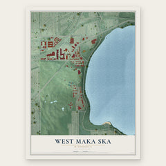
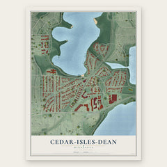
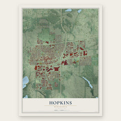
More maps nearby: Linden Hills, Kenwood, Golden Valley, East Bde Maka Ska and Bryn Mawr.
The art of mapping a place
How This Map Was Made
Real places. Remarkable detail. Discover the layers that turn geographic data into a map of home.

The view from above
Aerial imagery reveals the character of the land: woodland, open fields, and the patterns of a place.

The shape of the land
Elevation data brings hills, valleys, and subtle changes in the landscape into view.

The details of home
Roads, waterways, and building footprints come together to make the map feel unmistakably local.

Geography becomes art
Considered color, shading, and typography bring the layers together in a map made for your wall.


Process illustrated with Mendon, Massachusetts. Aerial imagery: USDA NAIP. Terrain: USGS 3D Elevation Program. Map details and finished artwork: KNOWOL.
The Details
About This Print
Choose an archival matte print, or a black or white Ayous wood frame. The archival matte print is unframed.
Select your size and finish above to see the matching product image and price.
Materials & Craftsmanship
A contemporary map with the character of a classic atlas, printed on archival matte paper. Optional frames are made from Ayous wood.
Your printed map does not include the watermark shown in the full-map preview.
Shipping & Delivery
Free shipping within the United States. Every print is made to order in the USA.
Buying a gift? Add a note in your cart and we'll include it. We never put prices in the package.
Prints ship within 2 to 3 business days. Allow 7 to 10 days total from ordering for delivery. Timing may vary during holidays or periods of high order volume.
Read our shipping policy.
Returns and damaged prints
Each print is made to order. Change-of-mind refunds are not available after production.
If your print arrives damaged, misprinted or incorrect, contact support@knowol.com within 30 days of receiving it. Include your order number, photos and a description of the issue.
Read our full refund and replacement policy. For questions about your order, email support@knowol.com.