
Search for another town



Free U.S. delivery 7 to 10 days after you order
St. Paul, Minnesota Map Art
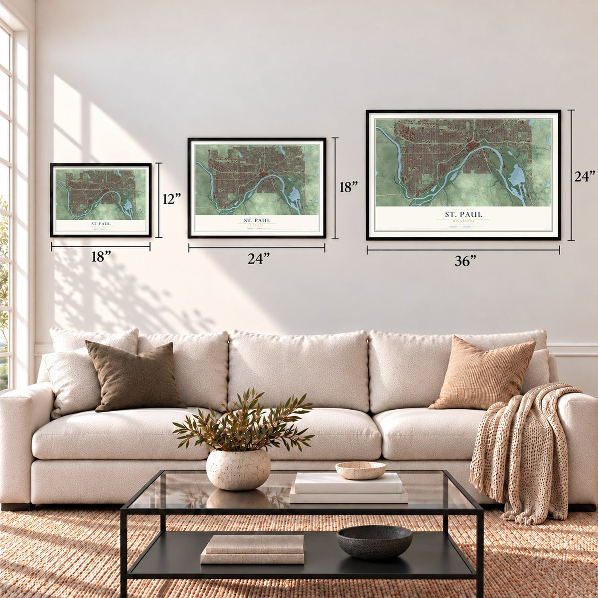
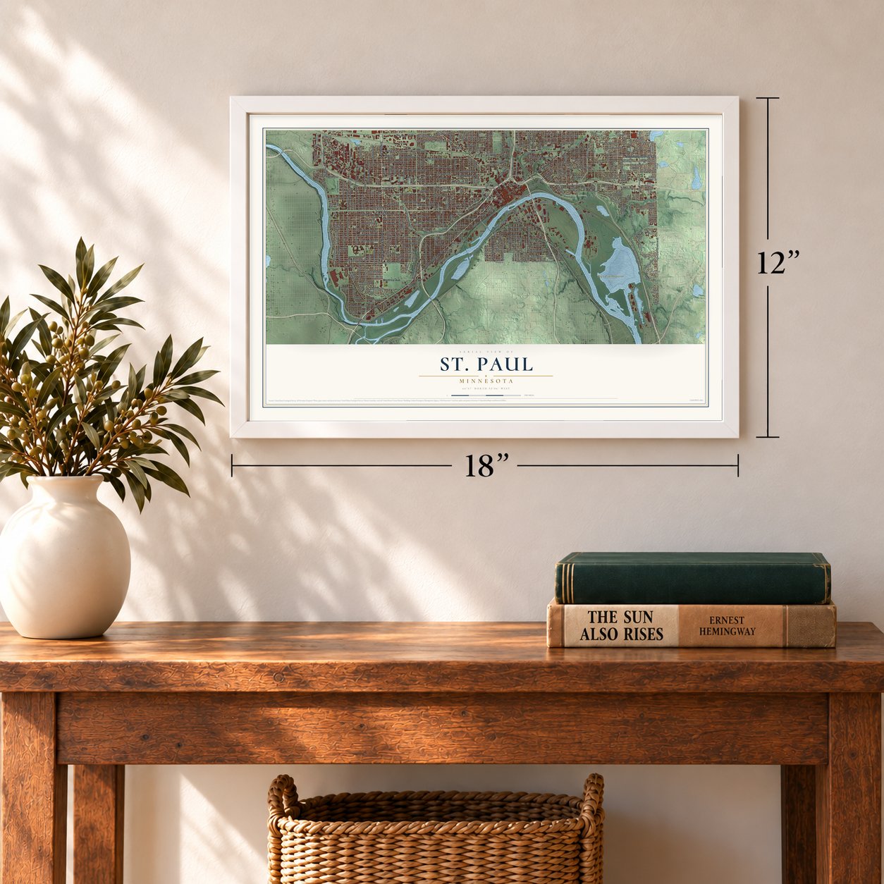
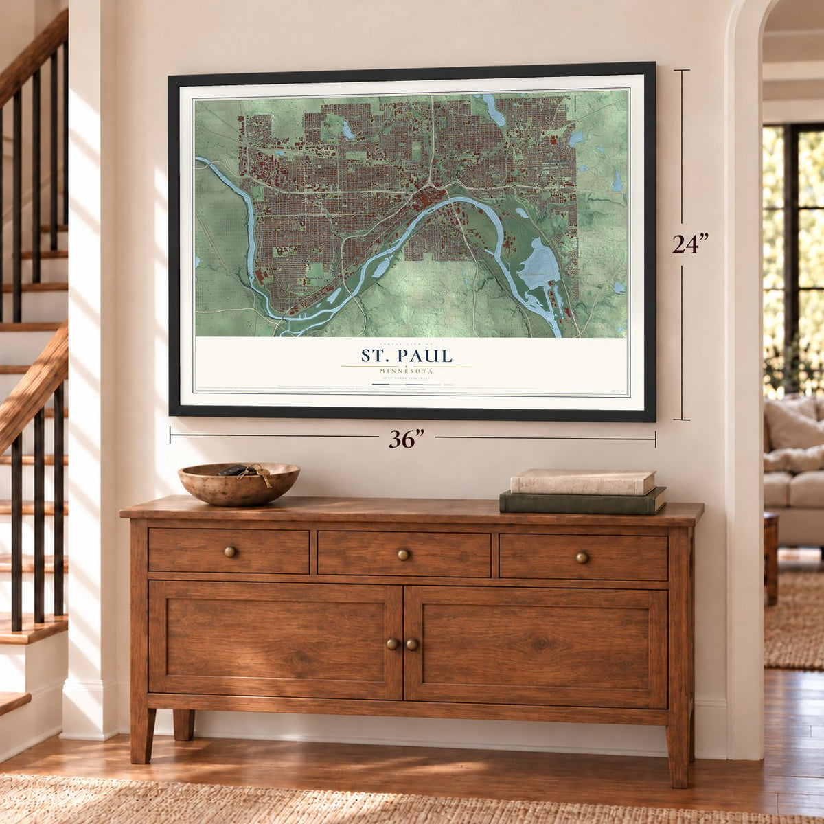
A new map of St. Paul, Minnesota, made in 2026 and printed to order on thick archival matte paper.
12" x 18" Archival Matte Print
A Map of Home. A Work of Art.
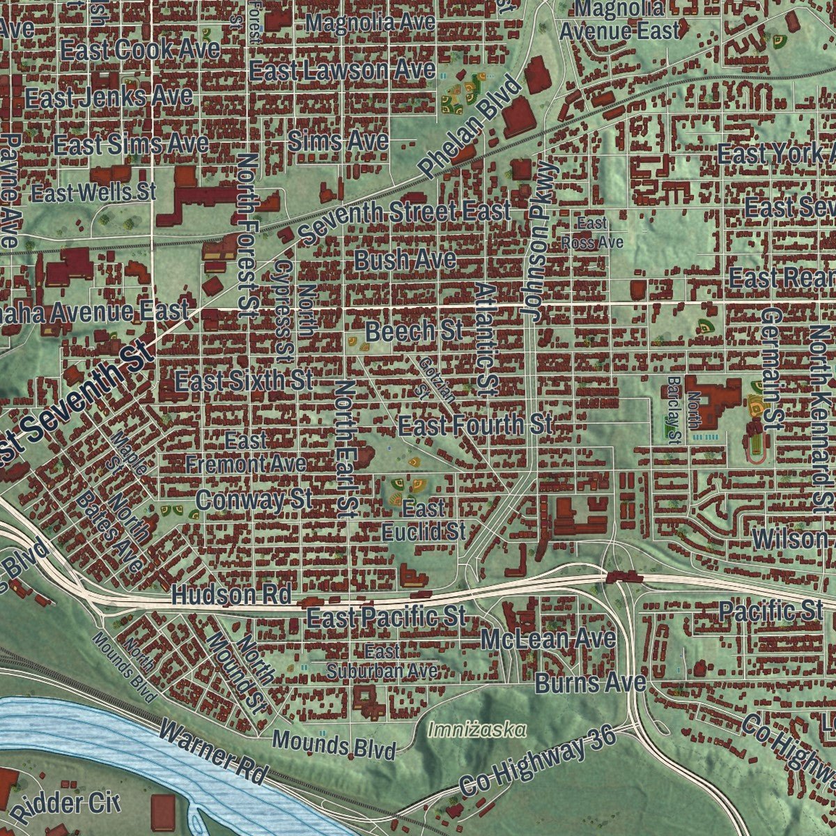
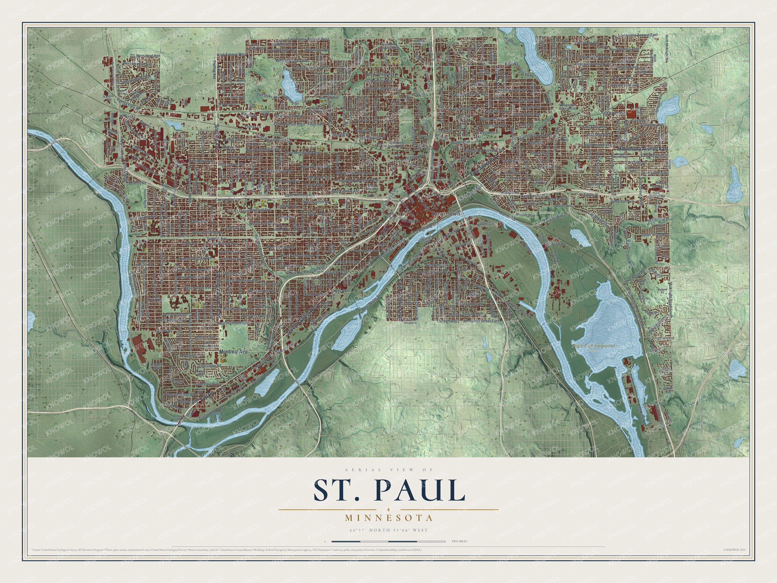
Explore St. Paul, Minnesota from a whole new perspective. Created using aerial imagery and detailed geographic data, this map captures St. Paul building by building, with labeled streets, familiar landmarks, and shaded topographical relief that highlights the natural contours of the landscape.
Combining modern data with the timeless character of a vintage atlas, this map is just as interesting up close as it is beautiful on the wall. Whether you grew up in St. Paul, spent memorable years there, or call it home today, this unique map is a great way to celebrate a place that means something to you. Zoom in on the preview to look for your street, and then order a print to put your memories on the wall.
Three ways to hang it
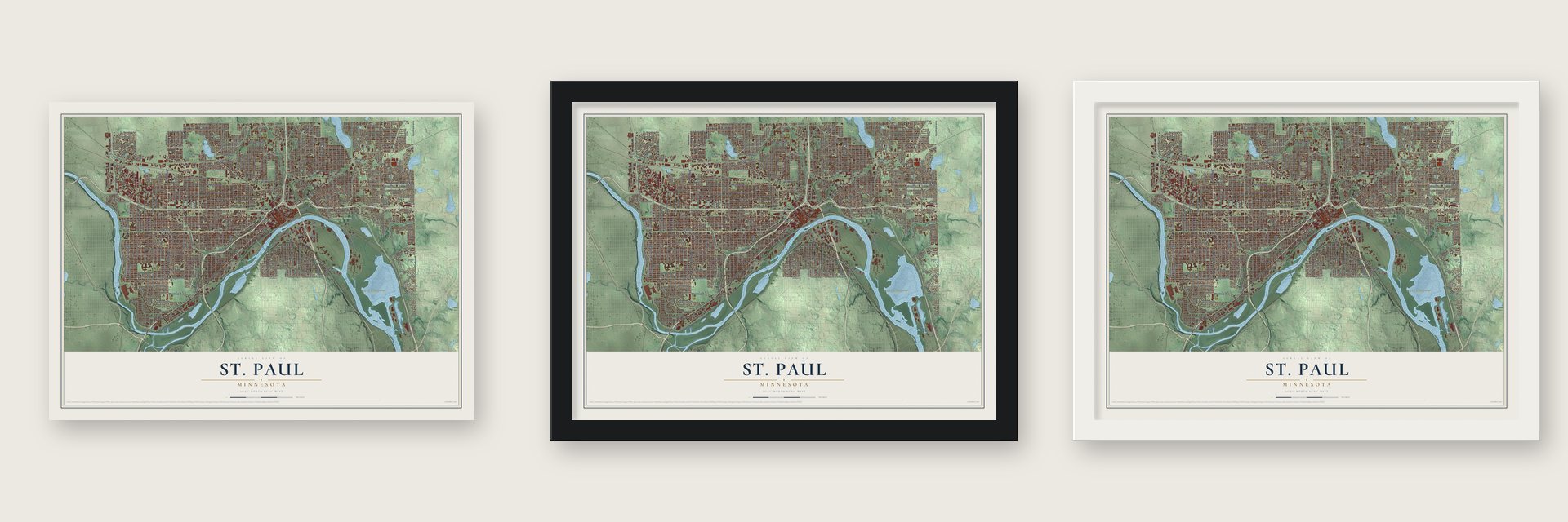
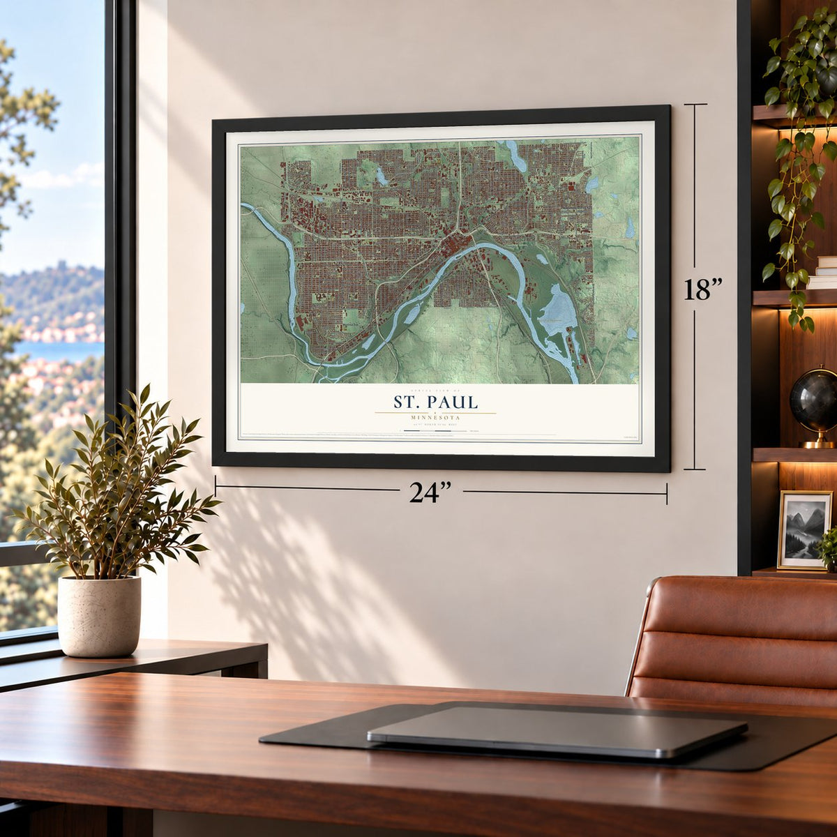
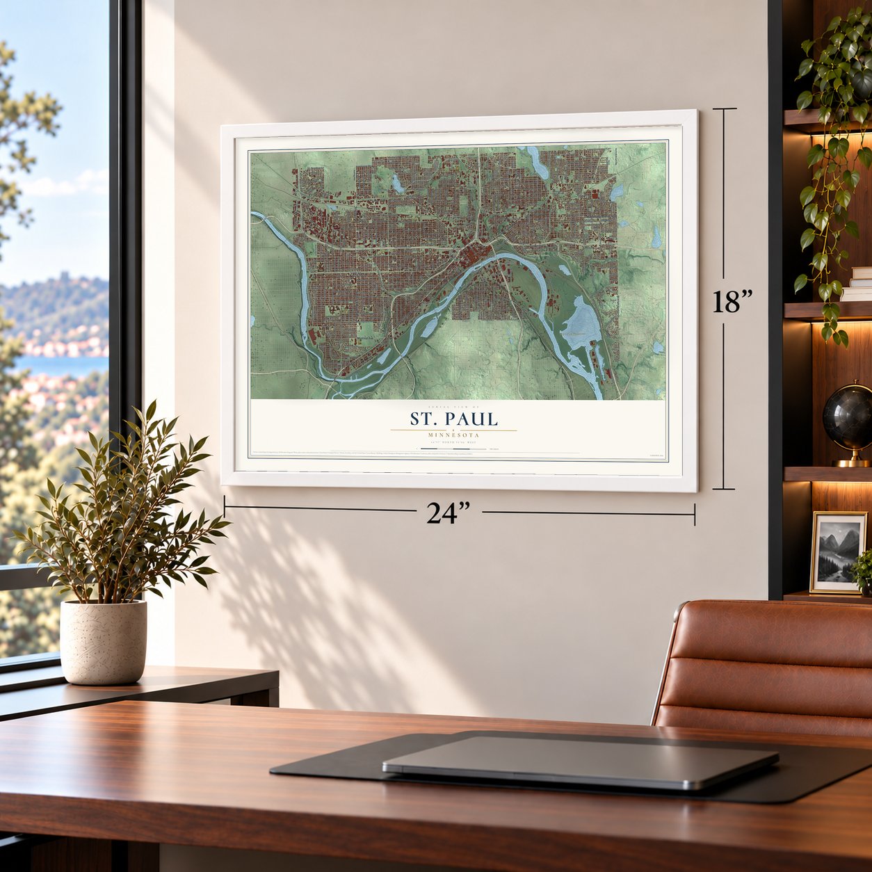
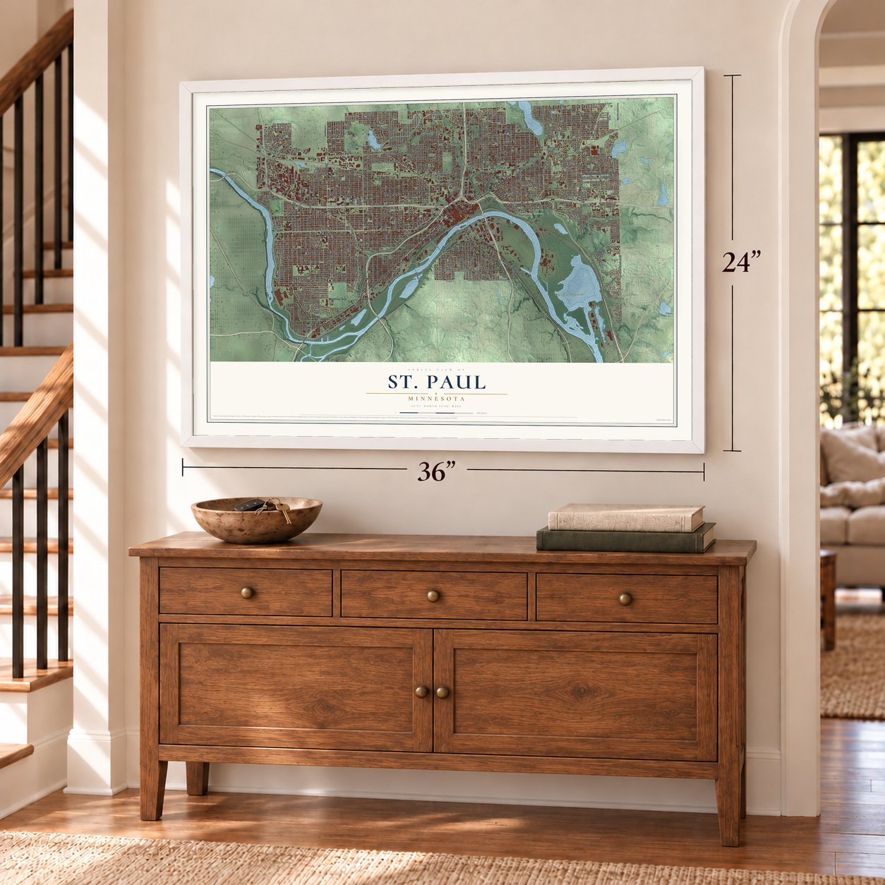
Unframed archival matte, a black wood frame or a white wood frame.
Up close
Geography Worth Displaying
This map was created using accurate cartographic data and authoritative geographic sources, including the U.S. Geological Survey and the Census Bureau. The map brings together terrain, waterways, roads, and building detail. The majority of the streets are labeled, houses are accurately depicted, and the topography is derived from government sources. Combining local data with carefully composed color and shading leads to this beautifully detailed St. Paul artwork for your wall.
Rather than simply showing street outlines, we’ve included as many of the street names as we could reasonably fit on the map while keeping their names legible. Zoom in on the high resolution preview to see exactly what’s on the map. We truly set out to create a statement piece for anyone who loves St. Paul. So whether it’s for you, or a gift for someone you love, we hope this map of St. Paul brings back fond memories.
Read the story behind this map of St. Paul, Minnesota from 2026.
About St. Paul, Minnesota
St. Paul is a city of 311,527 people on a bend of the Mississippi River. It serves as Minnesota's state capital and as Ramsey County's seat. Burial mounds in what is now Indian Mounds Park show that Hopewell people lived here about 2,000 years ago. Later the Mdewakanton Dakota lived near those mounds at the village of Kaposia, and they named the place Imniza-Ska, or white cliffs, for the pale sandstone bluffs on the river's east bank.
Fort Snelling went up in 1819 where the Minnesota River joins the Mississippi, and fur traders and settlers, many of them French-Canadian, gathered near it for safety. The commander drove the whiskey-selling squatters off the fort's land. Pierre "Pig's Eye" Parrant, who settled here in 1838, then opened a tavern just past the line, and the settlement took his nickname. In 1841 Father Lucien Galtier had a chapel built on the bluff above the landing and named it for St. Paul. He told the settlers to use that name instead, and in 1849 the new Minnesota Territory made St. Paul its capital.
- The stolen capital billIn 1857 territorial lawmakers voted to shift the capital to Saint Peter. Joe Rolette, one of the legislators, made off with the written bill and hid until the session ran out, so the move never happened and St. Paul stayed the capital. The Minnesota State Capitol now sits on a hill beside downtown, looking over the river.
- 1,000 steamboats in 1858Because of the shape of the river valley, St. Paul was the last good place for boats coming upriver to land. In 1858 more than 1,000 steamboats called here, and they carried settlers on toward the Minnesota frontier and Dakota Territory. For a time people called it "The Last City of the East." From the 1840s on, Métis drivers also hauled buffalo hides to Lambert's landing in Red River carts pulled by oxen, coming in along Kellogg Street.
- Battle Creek, 1842In 1842 an Ojibwe raiding party attacked the Dakota camp at Kaposia, south of St. Paul. The fighting happened two miles south of the sacred cave in the bluff, Wakan Tipi, at a spot where a creek met wetlands. Afterward the stream was called Battle Creek, and it is parkland today.
- James J. Hill's railroadsThe industrialist James J. Hill built his railroad empire from St. Paul. His Great Northern Railway and the Northern Pacific both kept their headquarters in the city. They stayed until they became part of Burlington Northern, which is now the BNSF Railway.
- Rondo, 1959 to 1961In those years the city tore down the Rondo neighborhood, a center of African American life, to build Interstate 94. Its loss made segregation and unfair housing in Northern cities harder to ignore. Every year the Rondo Days celebration honors the community that lived there.
Find your street
Names on the St. Paul map
Every name below is printed on this map. Look for your street, your school, the park where you played, or the pond down the road.
Places and landmarks9
- Downtown
- Highwood
- Calvary Cemetery
- Como Regional Park
- Imniżaska
- Oakland Cemetery
- Phalen Park
- Pig's Eye Regional Park
- Saint Paul
Streets and roads510
- Fort Road
- Seventh Street West
- Minnehaha Avenue East
- Smith Avenue South
- East Seventh Street
- Arcade Street
- Snelling Avenue
- Snelling Avenue South
- Montreal Avenue
- West Cottage Avenue
- Phalen Boulevard
- North Mississippi Street
- Winona Street East
- Phelan Boulevard
- Bidwell Street
- County Highway 2
- North Schletti Street
- Edgcumbe Road
- West Nebraska Avenue
- North Dale Street
- Summit Avenue
- North Marion Street
- West Bay Lane
- Marshall Avenue
- North Mackubin Street
- Arch-Penn Highway
- Johnson Parkway
- Upper Afton Road
- Cromwell Avenue
- Dodd Road
Show all 510 streets
- Larpenteur Avenue East
- Como Avenue
- Shepard Road West
- East Pacific Street
- East Kellogg Boulevard
- Lower Afton Road
- Seventh Street East
- Londin Lane
- University Avenue
- University Avenue West
- Third Street East
- North Grotto Street
- Hazelwood Street
- Aurora Avenue
- Hudson Road
- Prior Avenue South
- Transfer Road
- Shepard Road
- East Wheelock Parkway
- East Sixth Street
- Clarence Street
- North Cleveland Avenue
- County Highway 35
- North Sylvan Street
- Norfolk Avenue
- South Cleveland Avenue
- North Kent Street
- County Highway 37
- Hoyt Avenue West
- Robert Street South
- Annapolis Street East
- Iowa Avenue West
- South Charlton Street
- West Orchard Avenue
- Delaware Avenue
- West Fifth Street
- Larpenteur Avenue West
- East Geranium Avenue
- East Lawson Avenue
- North Syndicate Street
- Pleasant Avenue
- North Etna Street
- Ayd Mill Road South
- Ivy Avenue West
- Lorient Street
- West Congress Street
- Return Court
- South Grotto Street
- Andrew Street
- Saint Anthony Avenue
- Warner Road
- Randolph Avenue
- Grand Avenue
- Maryland Avenue East
- Selby Avenue
- Saint Clair Avenue
- West Jefferson Avenue
- Case Avenue
- West Laurel Avenue
- East Fifth Street
- Sherburne Avenue
- West Grand Avenue
- Arlington Avenue East
- West Charles Avenue
- Jackson Street
- West Minnehaha Avenue
- West Portland Avenue
- White Bear Avenue North
- West Palace Avenue
- West Thomas Avenue
- West Lafond Avenue
- West Lincoln Avenue
- East Margaret Street
- East Fourth Street
- West James Avenue
- East Ivy Avenue
- Point Douglas Road South
- Concordia Avenue
- Bush Avenue
- West Blair Avenue
- West Edmund Avenue
- North Victoria Street
- Wilson Avenue
- Iglehart Avenue
- West Van Buren Avenue
- Energy Park Drive
- West Pierce Butler Route
- Rice Street
- East Idaho Avenue
- North Hazel Street
- West Carroll Avenue
- McKnight Road South
- East Magnolia Avenue
- Dale Street North
- Payne Avenue
- Arlington Avenue West
- Fairview Avenue South
- North Kennard Street
- Flandrau Street
- South Davern Street
- Burns Avenue
- East Hawthorne Avenue
- Conway Street
- West Highland Parkway
- West Dayton Avenue
- West Scheffer Avenue
- North Earl Street
- East Reaney Avenue
- North Forest Street
- Western Avenue
- Childs Road
- Hague Avenue
- Front Avenue
- East Cook Avenue
- West Eleanor Avenue
- West Fairmount Avenue
- Raymond Avenue
- North Hamline Avenue
- Edgerton Street
- County Highway 40
- West Water Street
- East York Avenue
- Desoto Street
- Sherwood Avenue
- Goodrich Avenue
- East Nebraska Avenue
- East Sims Avenue
- Ford Parkway
- Birmingham Street
- Hoyt Avenue East
- North Prior Avenue
- South Hamline Avenue
- Beech Street
- West Hartford Avenue
- Ruth Street North
- West Wellesley Avenue
- North Pascal Street
- North Arundel Street
- Dayton Avenue
- East Jenks Avenue
- North Westminster Street
- Greenbrier Street
- South Howell Street
- North Aldine Street
- Front Avenue West
- North Wheeler Street
- Stillwater Avenue
- West Berkeley Avenue
- County Highway 36
- Germain Street
- South Cretin Avenue
- North Burr Street
- West Central Avenue
- Hewitt Avenue
- South Finn Street
- Red Rock Road
- McLean Avenue
- Osceola Avenue
- North Griggs Street
- Saint Paul Avenue
- West Hoyt Avenue
- East Ames Avenue
- Ashland Avenue
- Stewart Avenue
- North Fry Street
- North Arkwright Street
- Duluth Street
- Fairview Avenue North
- South Macalester Street
- North Eustis Street
- West Princeton Avenue
- Farrington Street
- Barclay Street
- Suburban Avenue
- West Iowa Avenue
- South Chatsworth Street
- West Orange Avenue
- Concord Street
- Otis Avenue
- Eaton Street
- Wabash Avenue
- Cedar Street
- North Park Street
- Ohio Street
- Fuller Avenue
- Robert Street North
- York Avenue
- Bayfield Street
- East Sidney Street
- Bohland Avenue
- Burgess Street
- West Englewood Avenue
- Pelham Boulevard
- James Avenue
- Plato Boulevard
- North Howell Street
- East Orange Avenue
- East Fillmore Avenue
- West Atwater Street
- Arundel Street
- North Park Drive
- Topping Street
- Sims Avenue
- Crosby Farm Road
- Atlantic Street
- John Ireland Boulevard
- Park Street
- Warwick Street
- Stanford Avenue
- North Arona Street
- Pascal Street North
- Charles Avenue
- North English Street
- West Doswell Avenue
- South Battle Creek Road
- Juliet Avenue
- North Wilder Street
- L'Orient Street
- Beverly Road
- Bay Street
- Benson Avenue
- Van Slyke Avenue
- West Sheridan Avenue
- Agate Street
- Airport Road
- Vandalia Street
- East Como Lake Drive
- North Dewey Street
- Saint Peter Street
- West Hendon Avenue
- Yorkshire Avenue
- Barge Channel Road
- Grace Street
- North Finn Street
- Humboldt Avenue
- Wynne Avenue
- Erie Street
- Springside Drive
- View Street
- Biglow Lane
- State Street
- Juno Avenue
- Pacific Street
- Stinchfield Avenue
- Eustis Street
- Shop Road
- Chester Street
- Energy Lane
- Benhill Road
- Olive Street
- West Delos Street
- Maiden Lane
- Gateway Drive
- Munster Avenue
- Tatum Street
- Berry Street
- Elfelt Street
- Daly Street
- Wall Street
- Cliff Street
- Coach Road
- Ridder Circle
- Ridge Street
- Fry Street
- Wheelock Parkway West
- North Smith Avenue
- Grove Street
- Kellogg Boulevard
- North Bates Avenue
- Sycamore Street West
- Mississippi River Boulevard South
- Carver Avenue
- East Rose Avenue
- North Oxford Street
- North Milton Street
- West Bayard Avenue
- North Avon Street
- Lexington Parkway South
- Pigs Eye Lake Road
- North Mendota Street
- South Syndicate Street
- West Goodrich Avenue
- Jessamine Avenue West
- West Ashland Avenue
- North Dunlap Street
- North Cypress Street
- Fremont Avenue
- Old Hudson Road
- North Albert Street
- East Euclid Street
- Maryland Avenue West
- North McKnight Road
- North Frank Street
- East Cottage Avenue
- South Albert Street
- Nokomis Avenue
- Burlington Road
- Idaho Avenue West
- South Winthrop Street
- Western Avenue North
- Hyacinth Avenue East
- North Bradley Street
- North Weide Street
- North Jessie Street
- West California Avenue
- South Milton Street
- North Ruth Street
- Englewood Avenue
- North Asbury Street
- Phalen Drive
- South Hall Avenue
- East Shore Drive
- East Nevada Avenue
- West Sargent Avenue
- North Van Dyke Street
- Wilson Avenue East
- Walsh Street
- West Saunders Avenue
- West Holly Avenue
- Saint Albans Street North
- Cretin Avenue North
- South Livingston Avenue
- North Howard Street
- East Wells Street
- North Winthrop Street
- Magnolia Avenue
- University Avenue East
- Mount Curve Boulevard
- Mounds Boulevard
- Gateway Trail
- Otto Avenue
- North Moore Street
- South Mount Curve Boulevard
- West Michigan Street
- Duke Street
- Territorial Road
- East Fremont Avenue
- Virginia Avenue
- North Cohansey Street
- Edgewater Boulevard
- Capp Road
- Winthrop Street
- West Hillside Avenue
- South Avon Street
- East Baker Street
- North Danforth Street
- West Hampden Avenue
- Bellows Street
- North Huron Street
- South Wilder Street
- Exeter Place
- Magnolia Avenue East
- East Leone Avenue
- Colvin Avenue
- Gilbert Avenue
- East Acker Street
- Magoffin Avenue
- Oakridge Street
- Westgate Drive
- Cayuga Street
- White Bear Avenue South
- Abell Street
- Totem Road
- Breen Street
- West Fuller Avenue
- Robbins Street
- North Mound Street
- Harriet Isla
- Norpak Road
- North Sheldon Street
- South Dale Street
- Watson Avenue
- Mackubin Street
- Skyway Drive
- Burnquist Street
- Gary Place
- Kasota Avenue
- Burg Street
- McBoal Street
- Willius Street
- Beulah Lane
- Gibbs Avenue
- Grand Hill
- Fifield Avenue
- Fred Street
- Otis Lane
- North Snelling Avenue
- Mississippi Street
- Gannon Road
- Lafayette Road
- West Irvine Avenue
- Field Avenue
- West Juno Avenue
- West Watson Avenue
- South Wheeler Street
- West Hubbard Avenue
- West Osceola Avenue
- West Page Street
- South Stryker Avenue
- Linwood Avenue
- Wabasha Street South
- Rice Street North
- Carter Avenue
- Cottage Avenue East
- Margaret Street East
- Midway Parkway
- Myrtle Avenue
- Morgan Avenue
- North Hunting Valley Road
- East Suburban Avenue
- Cushing Circle
- Brainerd Avenue
- Scudder Street
- Empire Drive
- Burr Street
- Winchell Street
- Cambridge Street
- Maple Street
- Payne Avenue North
- Cottage Park Road
- Exchange Street South
- Alton Street
- South Clifton Street
- Hillsdale Avenue
- Kingsford Street
- South Stickney Street
- Mailand Road
- Butternut Avenue
- Powers Avenue
- Anita Street
- Cathlin Street
- Tilsen Avenue
- Wheelock Parkway East
- McKnight Road North
- West Annapolis Street
- North Mounds Boulevard
- West Sycamore Street
- Snowshoe Lane East
- East Ross Avenue
- East Como Boulevard
- Virginia Street
- West Hatch Avenue
- West Baker Street
- South Winslow Avenue
- East Iowa Avenue
- East Hoyt Avenue
- East Lafayette Frontage Road
- Manomin Avenue
- North Alameda Street
- Hatch Avenue
- Lower Hidden Falls Drive
- East Twelfth Street
- North Barclay Street
- North Sibley Street
- East Ninth Street
- Curfew Street
- Gotzian Street
- North Herschel Street
- East Cayuga Street
- Forest Street
- Franklin Avenue
- North Argyle Street
- East Mount Airy Street
- Alaska Avenue
- Valleyside Drive
- East Isabel Street
- Van Dyke Street North
- Glen Terrace
- Webster Street
- South Rankin Street
- Edgebrook Avenue
- Drake Street
- Ravoux Street
- Osage Street
- Searle Street
- South Orme Court
- North Faye Street
- Grande Avenue
- Scott Road
- Hoyt Avenue
Names are listed as they appear on the printed map. Zoom into the product photos to find them.
The art of mapping a place
How This Map Was Made
Real places. Remarkable detail. Discover the layers that turn geographic data into a map of home.

The view from above
Aerial imagery reveals the character of the land: woodland, open fields, and the patterns of a place.

The shape of the land
Elevation data brings hills, valleys, and subtle changes in the landscape into view.

The details of home
Roads, waterways, and building footprints come together to make the map feel unmistakably local.

Geography becomes art
Considered color, shading, and typography bring the layers together in a map made for your wall.


Process illustrated with Mendon, Massachusetts. Aerial imagery: USDA NAIP. Terrain: USGS 3D Elevation Program. Map details and finished artwork: KNOWOL.
The Details
About This Print
Choose an archival matte print, or a black or white Ayous wood frame. The archival matte print is unframed.
Select your size and finish above to see the matching product image and price.
Materials & Craftsmanship
A contemporary map with the character of a classic atlas, printed on archival matte paper. Optional frames are made from Ayous wood.
Your printed map does not include the watermark shown in the full-map preview.
Shipping & Delivery
Free shipping within the United States. Every print is made to order in the USA.
Buying a gift? Add a note in your cart and we'll include it. We never put prices in the package.
Prints ship within 2 to 3 business days. Allow 7 to 10 days total from ordering for delivery. Timing may vary during holidays or periods of high order volume.
Read our shipping policy.
Returns and damaged prints
Each print is made to order. Change-of-mind refunds are not available after production.
If your print arrives damaged, misprinted or incorrect, contact support@knowol.com within 30 days of receiving it. Include your order number, photos and a description of the issue.
Read our full refund and replacement policy. For questions about your order, email support@knowol.com.
Find your town
Looking for another city?
Find a map of home in our Minnesota collection, or any town in the country.
Nearby
Maps of towns near St. Paul
Know someone from one of these towns? Their map makes a great gift.
 Lilydale
, Minnesota
From $39.99See the map
 West St. Paul
, Minnesota
From $39.99See the map
 Falcon Heights
, Minnesota
From $39.99See the map
More maps nearby: Mendota Heights, Mendota, Cooper, Roseville and South St. Paul.