
Search for another town


Free U.S. delivery 7 to 10 days after you order
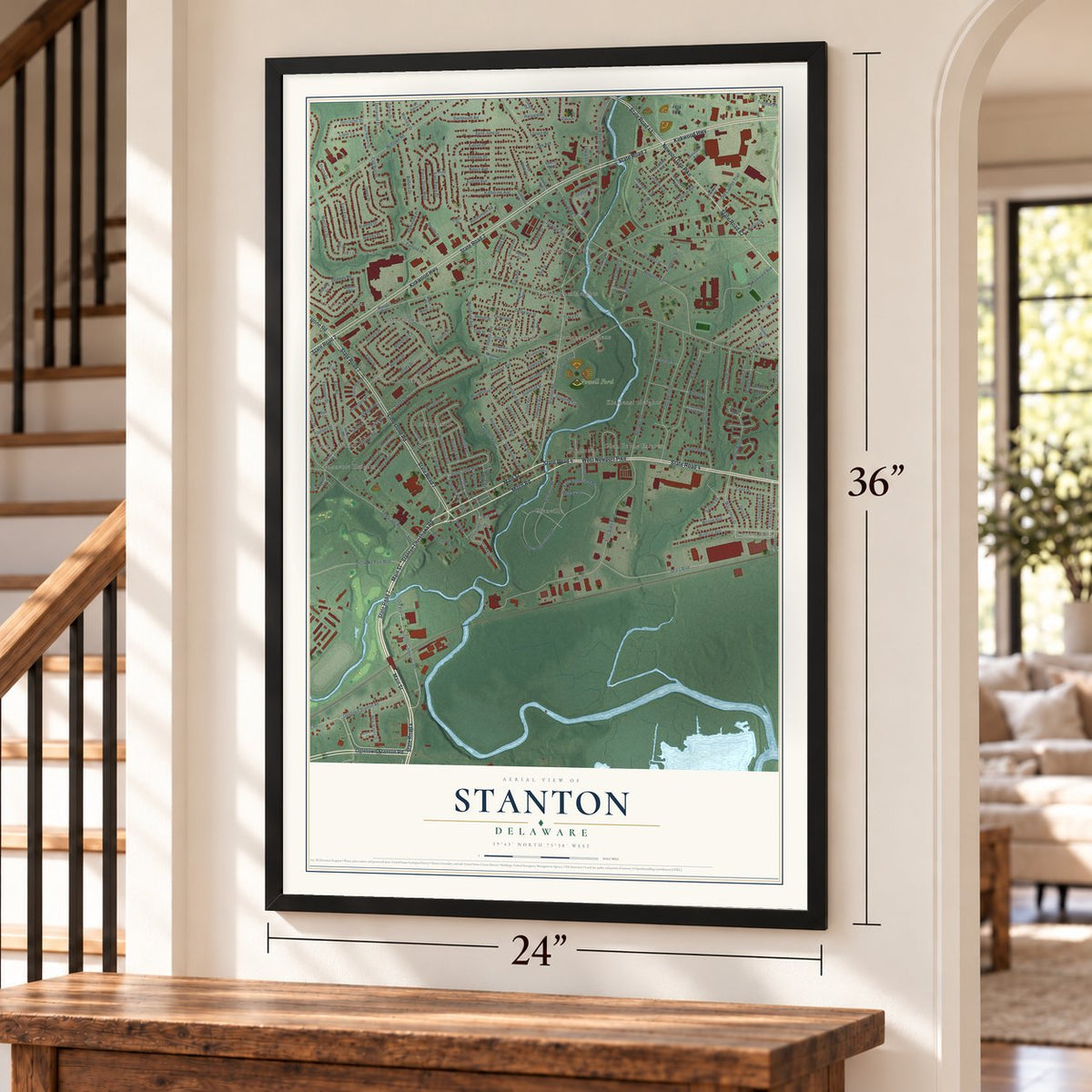
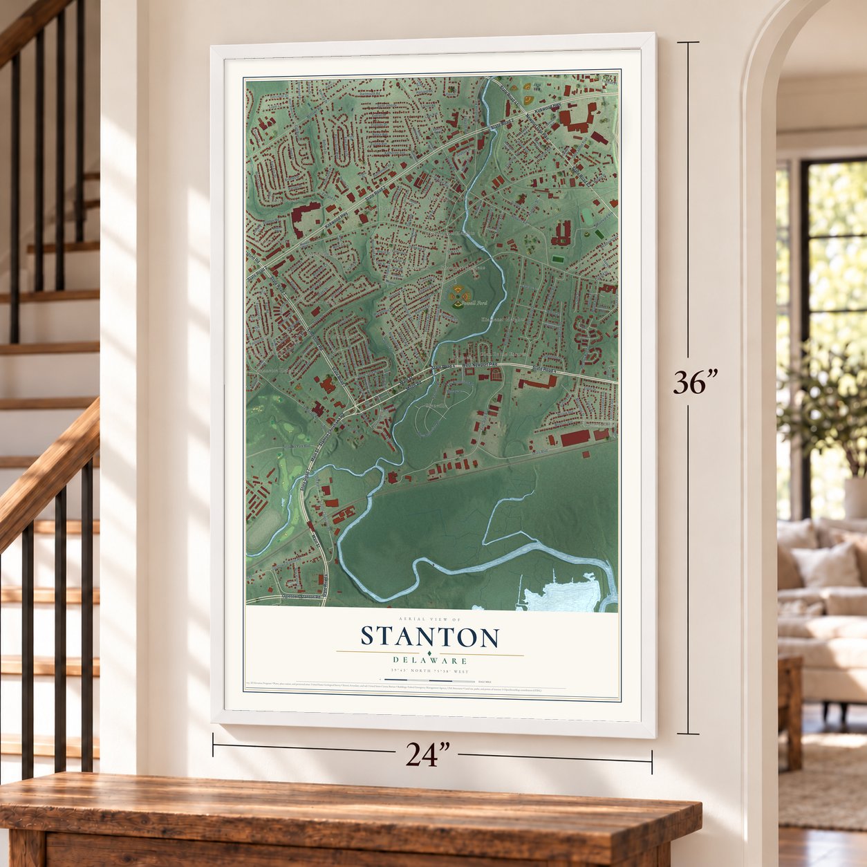
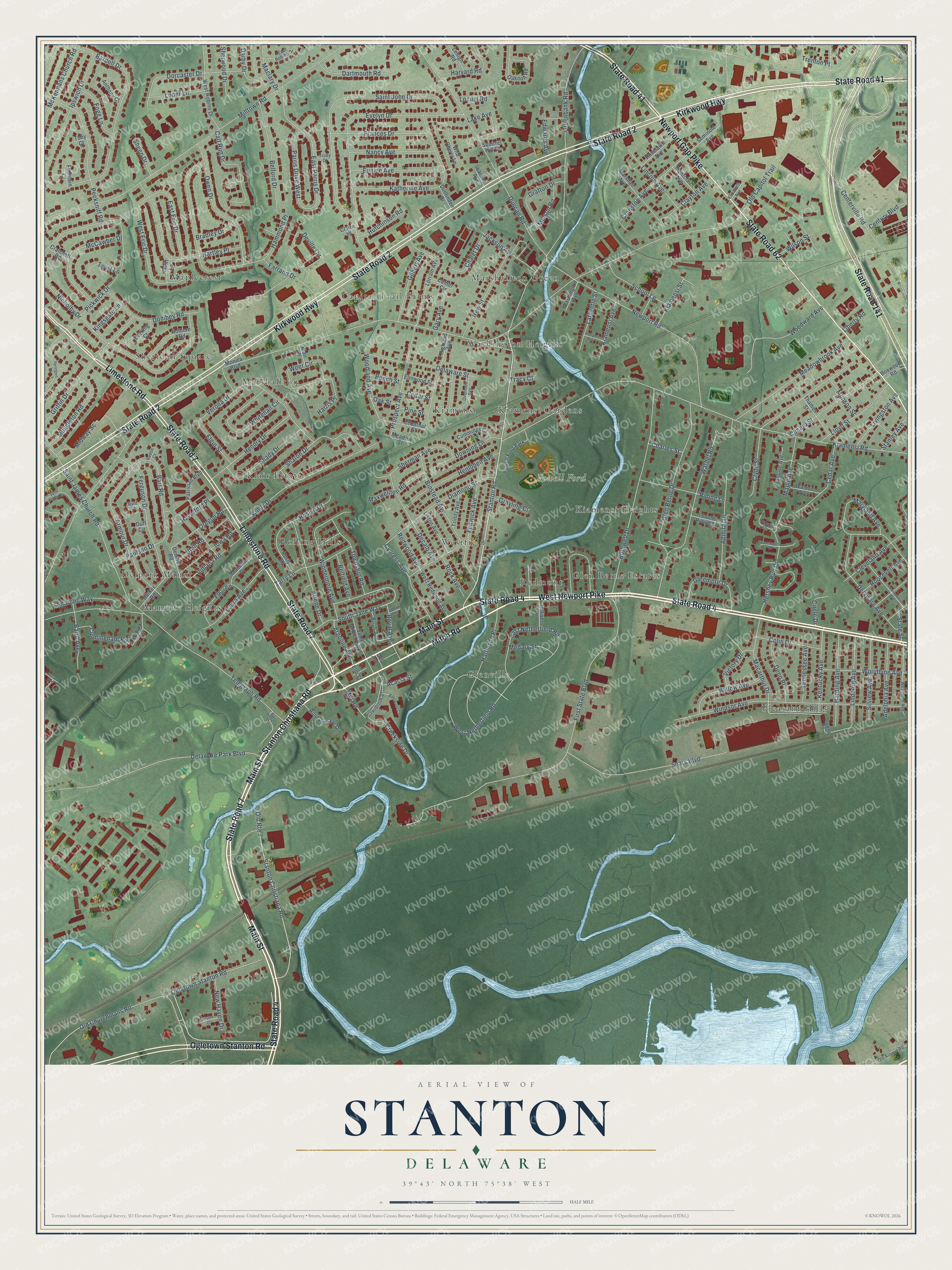
Stanton, Delaware Map Art
Building by building, with labeled streets and shaded relief.
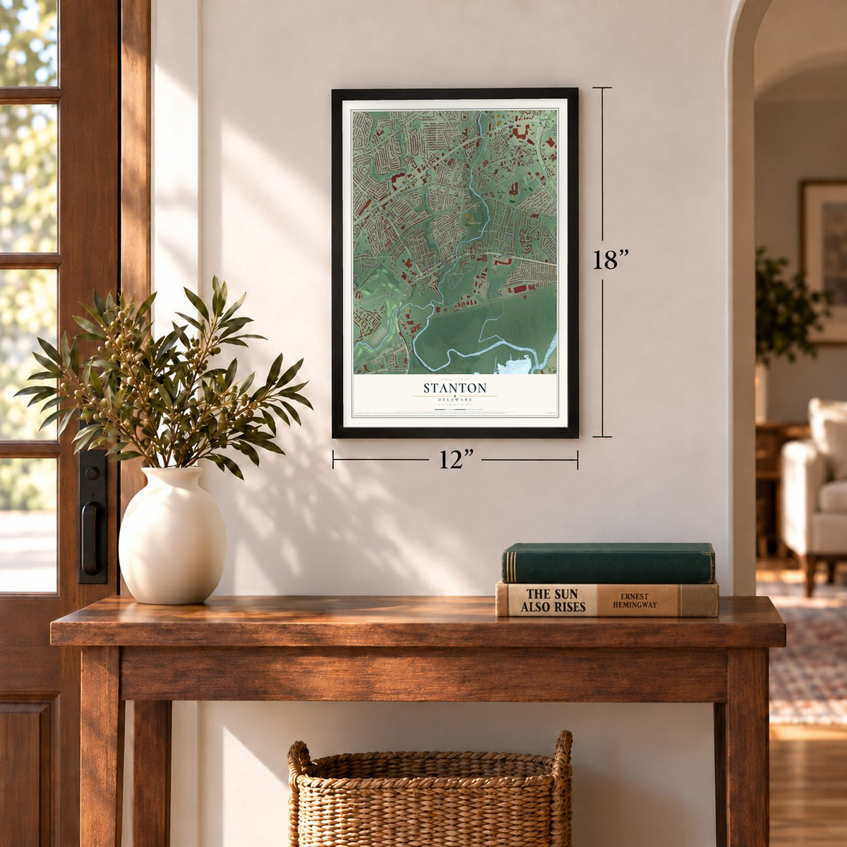
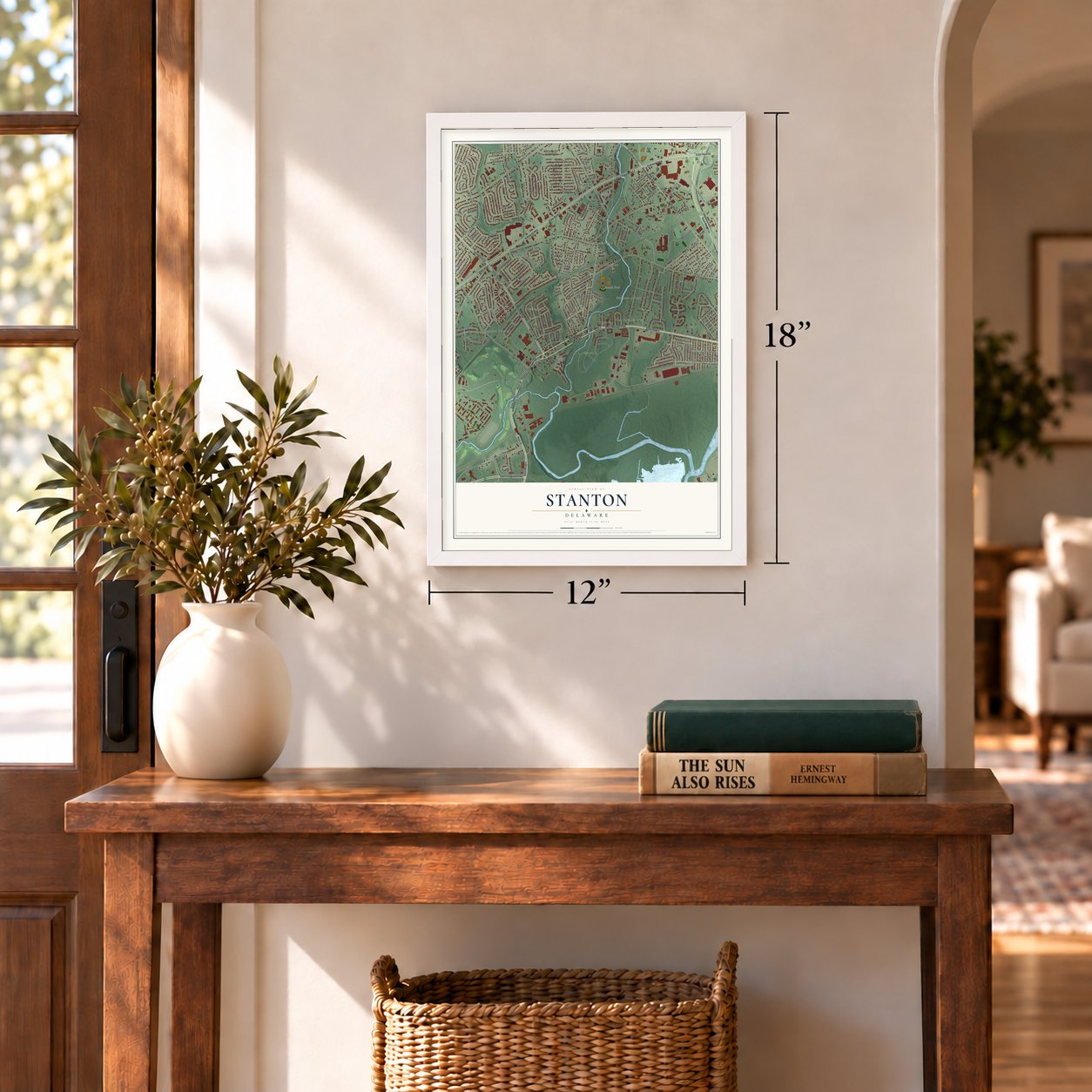
12" x 18" Archival Matte Print
A Map of Home. A Work of Art.
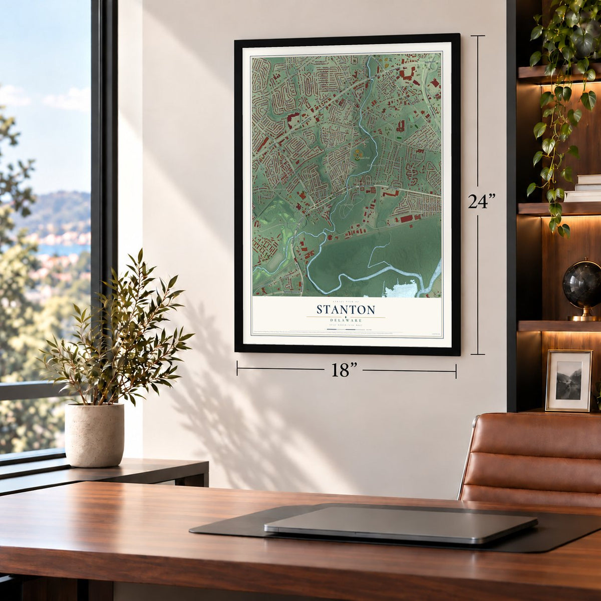
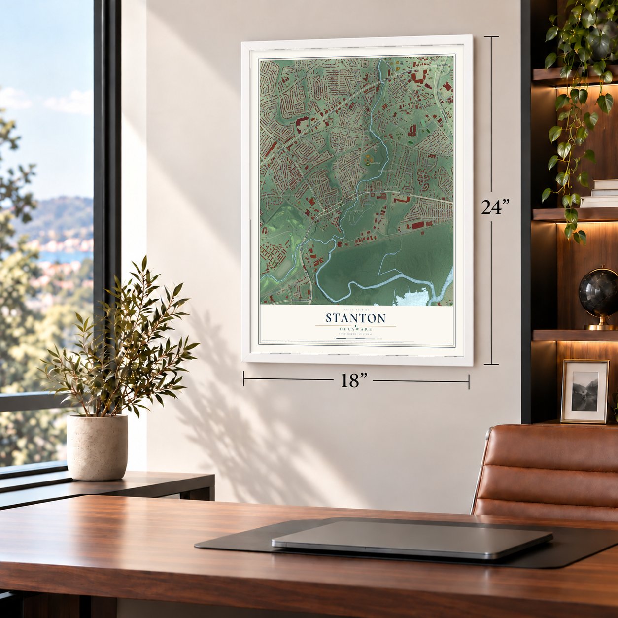
Explore Stanton, Delaware from a whole new perspective. Created using aerial imagery and detailed geographic data, this map captures Stanton building by building, with labeled streets, familiar landmarks, and shaded topographical relief that highlights the natural contours of the landscape.
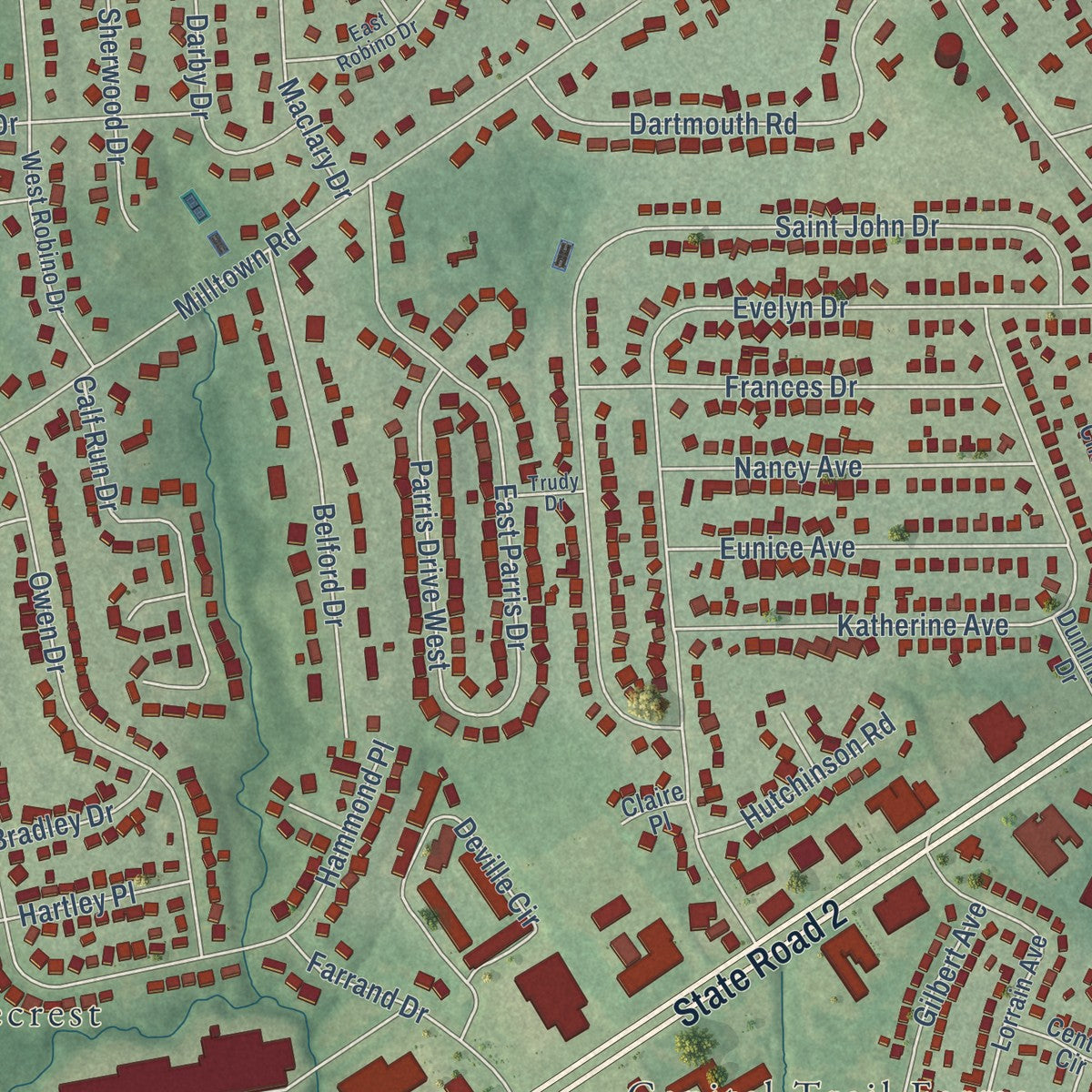
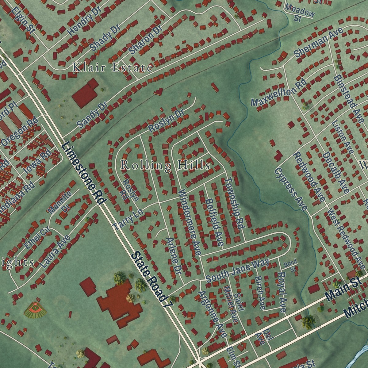
Combining modern data with the timeless character of a vintage atlas, this map is just as interesting up close as it is beautiful on the wall. Whether you grew up in Stanton, spent memorable years there, or call it home today, this unique map is a great way to celebrate a place that means something to you. Zoom in on the preview to look for your street, and then order a print to put your memories on the wall.
Three ways to hang it
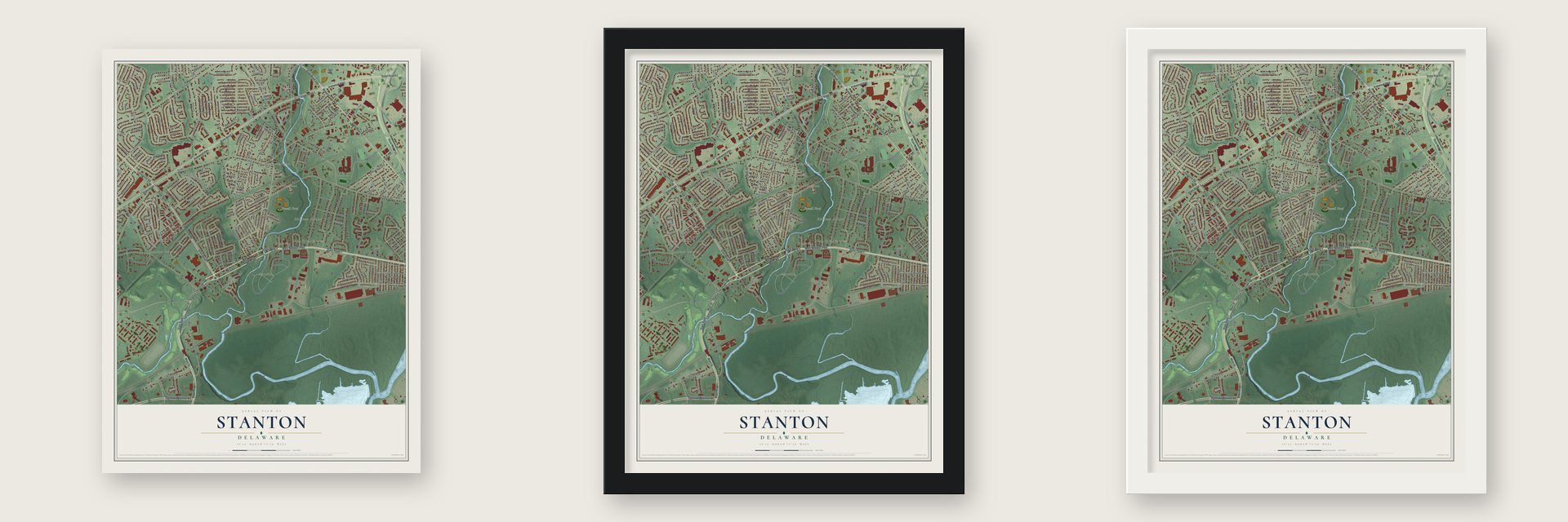
Unframed archival matte, a black wood frame or a white wood frame.
Up close
Geography Worth Displaying
This map was created using accurate cartographic data and authoritative geographic sources, including the U.S. Geological Survey and the Census Bureau. The map brings together terrain, waterways, roads, and building detail. The majority of the streets are labeled, houses are accurately depicted, and the topography is derived from government sources. Combining local data with carefully composed color and shading leads to this beautifully detailed Stanton artwork for your wall.
Rather than simply showing street outlines, we’ve included as many of the street names as we could reasonably fit on the map while keeping their names legible. Zoom in on the high resolution preview to see exactly what’s on the map. We truly set out to create a statement piece for anyone who loves Stanton. So whether it’s for you, or a gift for someone you love, we hope this map of Stanton brings back fond memories.
Read the story behind this map: Detailed Map of Stanton, Delaware.
Find your street
Names on the Stanton map
Every name below is printed on this map. Look for your street, your school, the park where you played, or the pond down the road.
Places and landmarks20
- Powell Ford
- Manette Heights
- Sheridan Square
- Glenville
- Marshallton Green
- Pleasant Hills
- Westfield
- Klair Estate
- Capital Trail Farms
- Maplecrest
- Glen Berne Estates
- Washington Heights
Show all 20 places
- Kiamensi Gardens
- Rolling Hills
- Kiamensi
- Redmont
- Kiamensi Heights
- Delpark Manor
- Marshallton
- Powell Ford Park
Streets and roads259
- State Road 4
- State Road 7
- Limestone Road
- West Newport Pike
- Mitch Road
- State Road 41
- Stanton Christiana Road
- Main Street
- State Road 2
- Kirkwood Highway
- State Road 141
- Newport Gap Pike
- State Road 62
- Ogletown Stanton Road
- Stanton Road
- South Jane Way
- Argonne Avenue
- Prospect Avenue
- Old Capitol Trail
- Greenbank Road
- Kiamensi Road
- First State Boulevard
- Milltown Road
- Centerville Road
- Nicholby Drive
- Evelyn Drive
- Telegraph Road
- Duncan Road
- Saint John Drive
- Windsor Avenue
Show all 259 streets
- Newport Road
- Hammond Place
- Delaware Park Boulevard
- Rothwell Drive
- Glen Berne Drive
- Saint James Church Road
- Clyde Street
- Wardel Road
- East Netherfield Road
- Bardell Drive
- Pickwick Drive
- Old Route 7
- West Netherfield Road
- Ipswich Drive
- Griffin Drive
- Sears Boulevard
- Katherine Avenue
- Sandy Drive
- Hartley Place
- Maryland Avenue
- Verona Drive
- Armour Drive
- Pecksniff Road
- East Parris Drive
- Meadowbrook Avenue
- Owen Drive
- Delaware Avenue
- Harbeson Place
- Ferguson Drive
- Windermere Avenue
- Diamond Street
- West Eric Drive
- Fenwick Avenue
- Dorcaster Drive
- Lincoln Avenue
- Whitehall Circle
- Deville Circle
- Creekside Drive
- Woodward Avenue
- Barr Road
- McCawber Drive
- Belford Drive
- Sharon Drive
- Delaware Street
- Henlopen Avenue
- Cranston Avenue
- Weer Circle
- Cunard Street
- Dartmouth Road
- Arlene Drive
- Admiral Drive
- Farrand Drive
- Old Churchmans Road
- Dombey Road
- Binstead Avenue
- Hendry Drive
- Hershey Run Drive
- Calf Run Drive
- Decalb Avenue
- Frances Drive
- New Street
- Macarthur Drive
- Redwood Avenue
- Shady Drive
- Harding Avenue
- Cypress Avenue
- Sherman Avenue
- Eunice Avenue
- Lindberg Avenue
- Glenmore Drive
- Lloyd Street
- Muggleton Road
- Midway Sc
- Riding Lane
- Laura Avenue
- Woodbine Avenue
- Kentucky Avenue
- Nancy Avenue
- Tarry Lane
- Parris Drive West
- East Eric Drive
- Cedar Avenue
- Township Road
- Silview Avenue
- Willow Avenue
- Grafton Drive
- Cleveland Avenue
- McKennans Church Road
- Adelphia Avenue
- School Lane
- Indiana Road
- Gilbert Avenue
- Harvard Road
- Oregon Road
- Iowa Road
- Roslyn Drive
- Downing Lane
- Utah Road
- Melson Road
- Clayton Avenue
- Livingston Avenue
- Woodland Avenue
- Sharons Way
- Colin Drive
- Denn Place
- Jackson Avenue
- Maxwellton Road
- Lafayette Street
- Cunningham Road
- Maple Avenue
- Fogg Lane
- Kiamensi Avenue
- Oak Street
- Baird Avenue
- Tennessee Avenue
- Loper Lane
- Victory Drive
- Darby Drive
- Liberty Road
- New Haven Drive
- Chalet Drive
- Sherwood Drive
- Elgin Street
- Kiamensi Street
- Roosevelt Avenue
- Hutchinson Road
- Harris Place
- Maclary Drive
- Haverford Place
- Century Boulevard
- Medary Street
- Belfield Avenue
- Paulson Drive
- Rock Avenue
- Munson Street
- Lake Avenue
- Gary Avenue
- Royal Avenue
- Bradley Drive
- Stanley Avenue
- Circle Drive
- Wilson Street
- Grayling Court
- Sheen Drive
- Twist Lane
- Edwards Avenue
- Kingsgate Lane
- Locust Road
- Mill Road
- Charles Street
- Beech Street
- State Street
- Pine Street
- Cedar Street
- Acacia Street
- Trenton Place
- Tracy Court
- Lorrain Avenue
- Chestnut Street
- Highland Avenue
- West Redwood Avenue
- West Robino Drive
- Marshall Avenue
- Oaknoll Road
- Dennis Road
- Washington Avenue
- Ethel Circle
- Honeysuckle Drive
- Holborn Road
- Wild Cherry Lane
- Boxwood Road
- Barker Road
- Monica Boulevard
- Patrician Boulevard
- Liston Avenue
- Saint Mihiel Avenue
- Thames Street
- Roselawn Avenue
- Seminole Avenue
- Roslyn Road
- Cummings Court
- Trinity Avenue
- Kelbark Lane
- Manette Drive
- Montclair Avenue
- Walnut Avenue
- South Riding Lane
- Manlove Avenue
- Elmwood Street
- Birch Avenue
- Cratchett Road
- Lehigh Road
- Tolliver Drive
- Anthony Court
- Fountain Court
- Center Circle
- Dunlinden Drive
- Dorking Court
- Truitt Lane
- Larson Avenue
- Meadow Street
- Klair Place
- Squirrel Hill Court
- Del Avenue
- Elm Street
- Claire Place
- Toby Court
- Duff Circle
- Crowell Road
- Overlook Avenue
- Westmont Avenue
- Old Airport Road
- Dawnbrook Drive
- East Robino Drive
- Colefax Court
- Elizabeth Avenue
- Trudy Drive
- Byrd Court
- Reese Court
- Pennsylvania Avenue
- Saint James Drive
- Springers Lane
- Petro Drive
- Bentwood Court
- Fenpor Avenue
- Advent Court
- Fleetwood Court
- Second Avenue
- Bond Street
Names are listed as they appear on the printed map. Zoom into the product photos to find them.
About Stanton, Delaware
Stanton was named for Stephen Stanton, a local property owner. In 1777 George Washington camped here with his army from August 28 to September 8. He expected General Howe to march this way to Philadelphia. The British turned west through Newark instead, and Washington moved his men toward Brandywine Springs.
The Kiamensi Woolen Mills stood along Red Clay Creek near Stanton. During the Civil War the mills made blankets and other goods for the Union Army. They kept running until the early 1900s.
Keep exploring Delaware
Stanton is one of 94 Delaware towns we've mapped. Every dot on the map is a print of its own.
The search covers every state, Delaware first.
Near Stanton
Order 2 or more town maps and save 10%. Shown in the size and finish you picked above, so they hang as a set.
- Newport 12" x 18" / Archival Matte Print $39.99
- Heritage 12" x 18" / Archival Matte Print $39.99
- Brandywine Springs 12" x 18" / Archival Matte Print $39.99
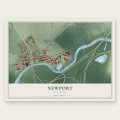
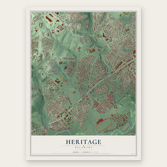
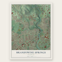
More maps nearby: Christiana, Meadowood, Richardson Park, Elsmere and Pleasantville.
The art of mapping a place
How This Map Was Made
Real places. Remarkable detail. Discover the layers that turn geographic data into a map of home.

The view from above
Aerial imagery reveals the character of the land: woodland, open fields, and the patterns of a place.

The shape of the land
Elevation data brings hills, valleys, and subtle changes in the landscape into view.

The details of home
Roads, waterways, and building footprints come together to make the map feel unmistakably local.

Geography becomes art
Considered color, shading, and typography bring the layers together in a map made for your wall.


Process illustrated with Mendon, Massachusetts. Aerial imagery: USDA NAIP. Terrain: USGS 3D Elevation Program. Map details and finished artwork: KNOWOL.
The Details
About This Print
Choose an archival matte print, or a black or white Ayous wood frame. The archival matte print is unframed.
Select your size and finish above to see the matching product image and price.
Materials & Craftsmanship
A contemporary map with the character of a classic atlas, printed on archival matte paper. Optional frames are made from Ayous wood.
Your printed map does not include the watermark shown in the full-map preview.
Shipping & Delivery
Free shipping within the United States. Every print is made to order in the USA.
Buying a gift? Add a note in your cart and we'll include it. We never put prices in the package.
Prints ship within 2 to 3 business days. Allow 7 to 10 days total from ordering for delivery. Timing may vary during holidays or periods of high order volume.
Read our shipping policy.
Returns and damaged prints
Each print is made to order. Change-of-mind refunds are not available after production.
If your print arrives damaged, misprinted or incorrect, contact support@knowol.com within 30 days of receiving it. Include your order number, photos and a description of the issue.
Read our full refund and replacement policy. For questions about your order, email support@knowol.com.