
Search for another town

Free U.S. delivery 7 to 10 days after you order
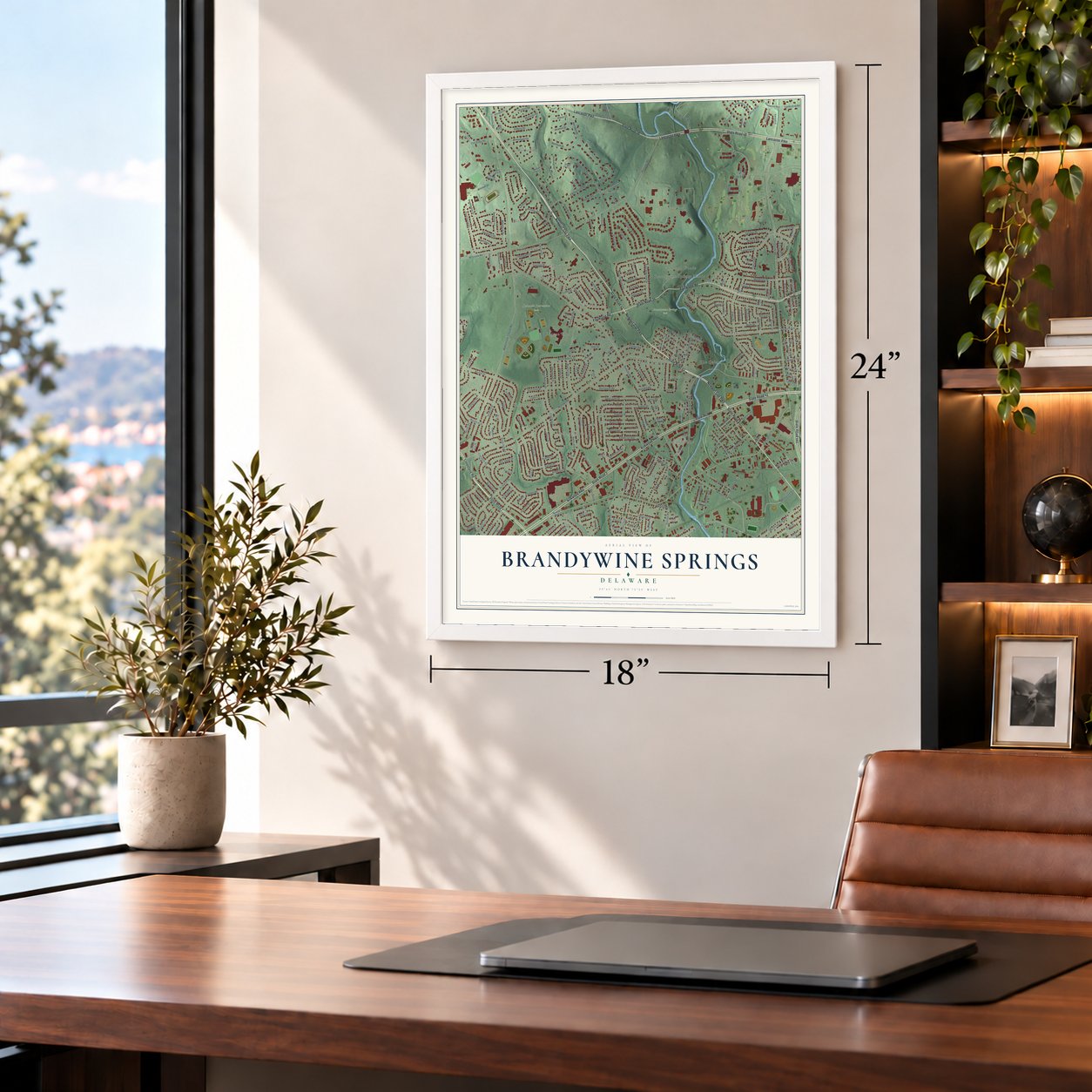
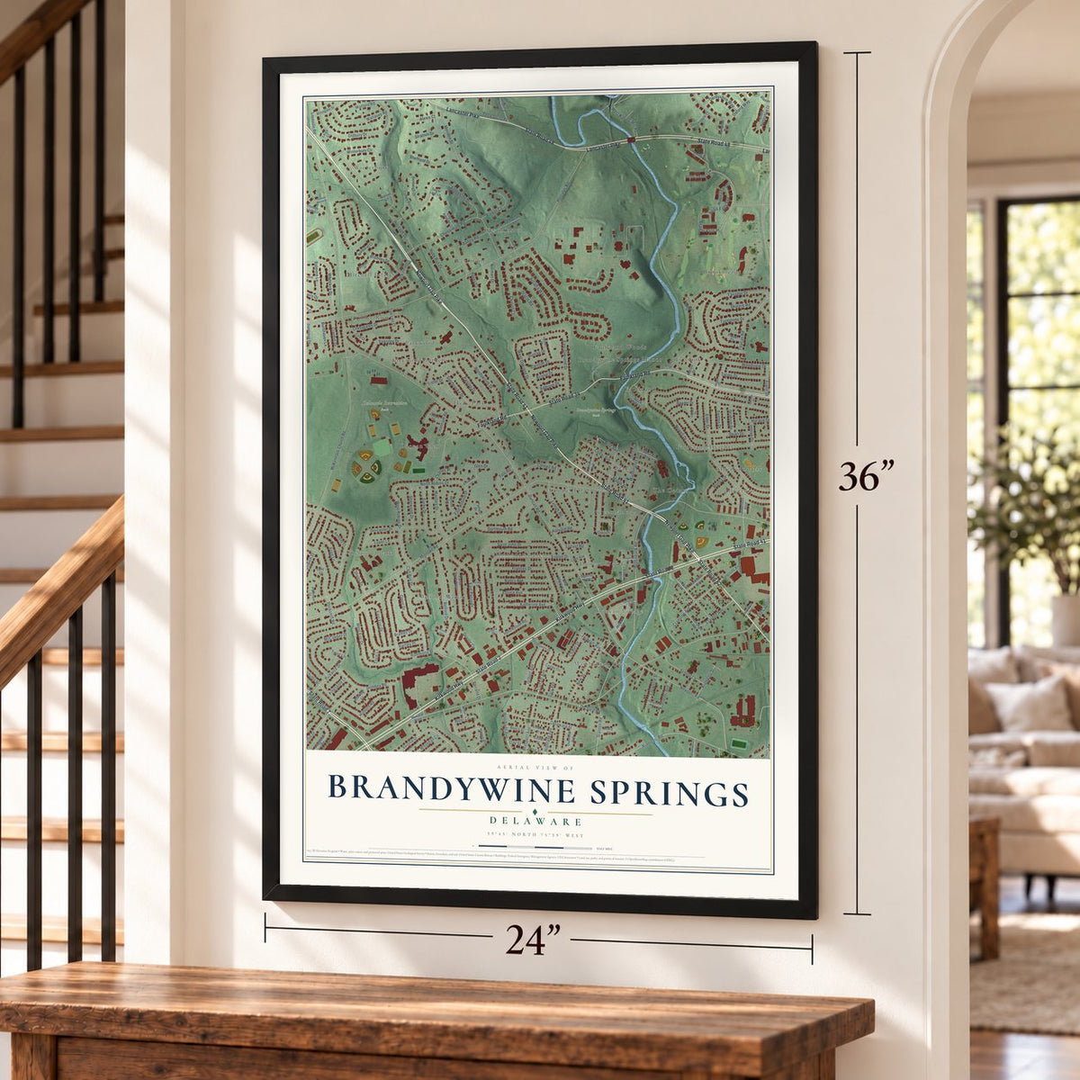
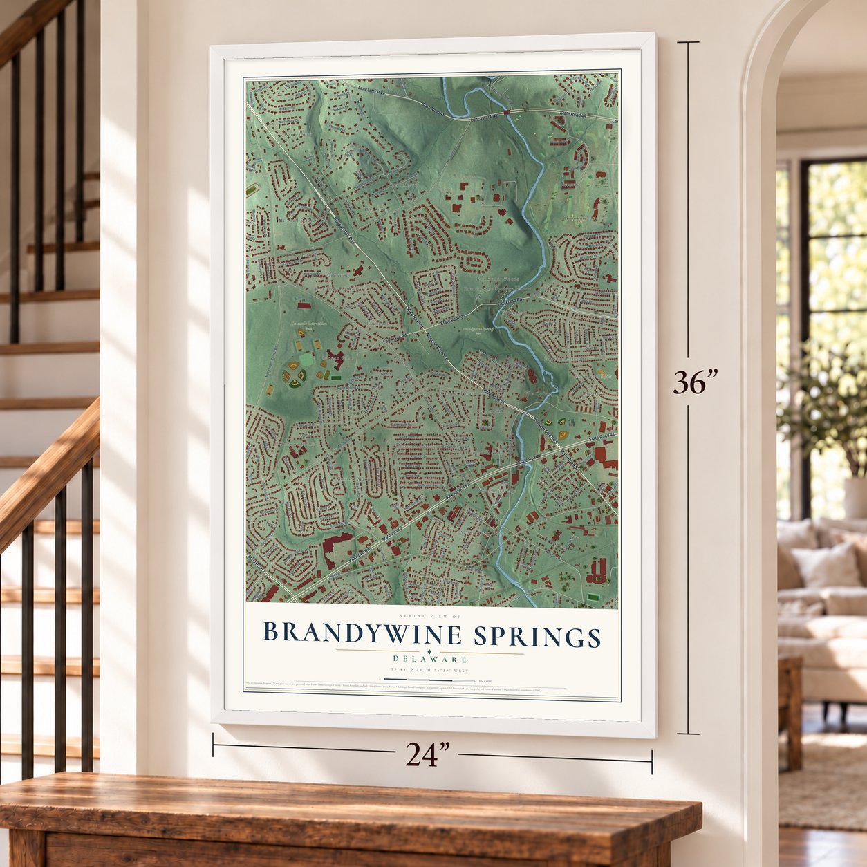
Brandywine Springs, Delaware Map Art
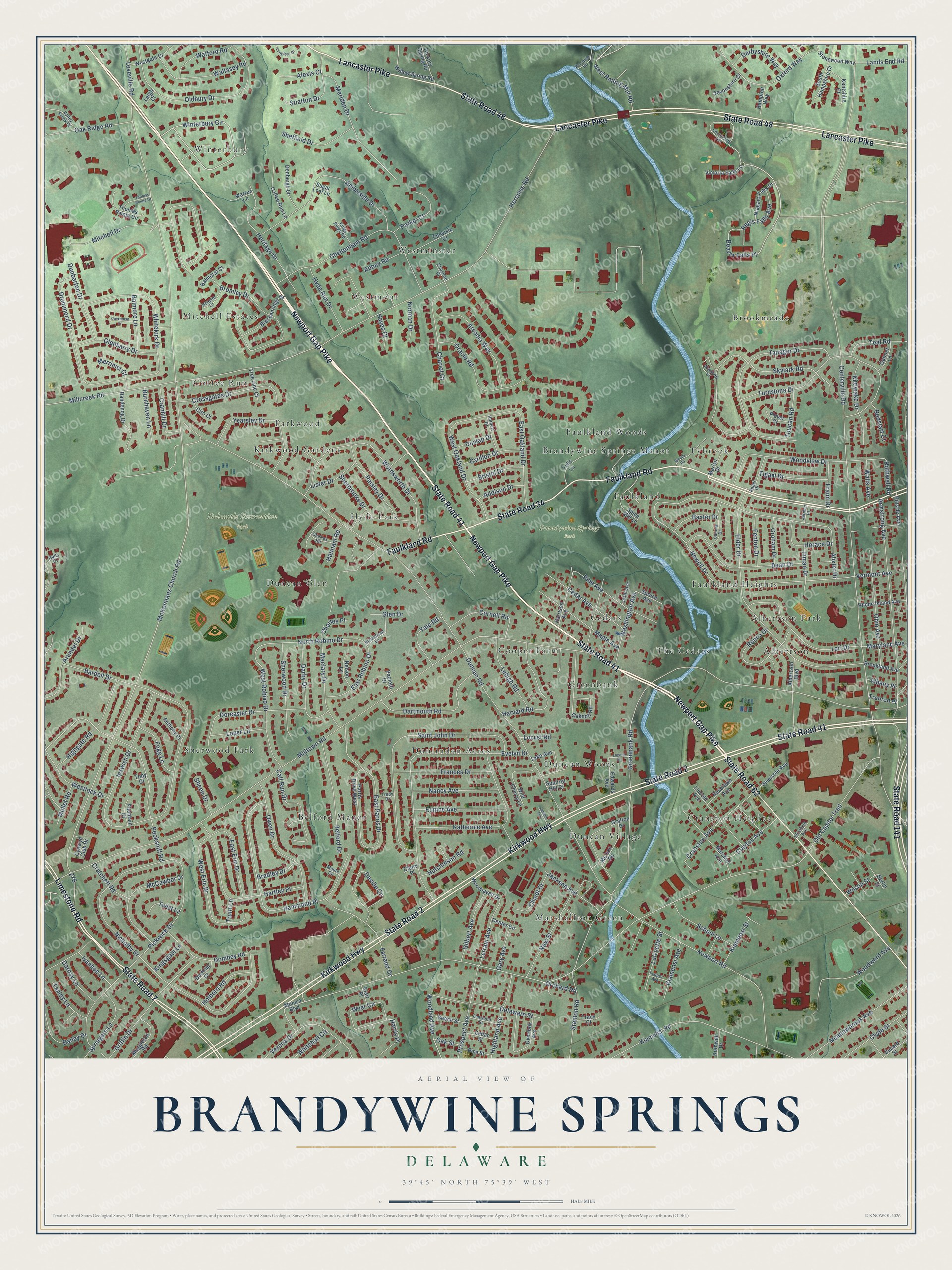
Building by building, with labeled streets and shaded relief.
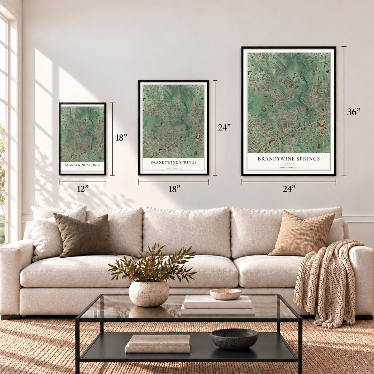
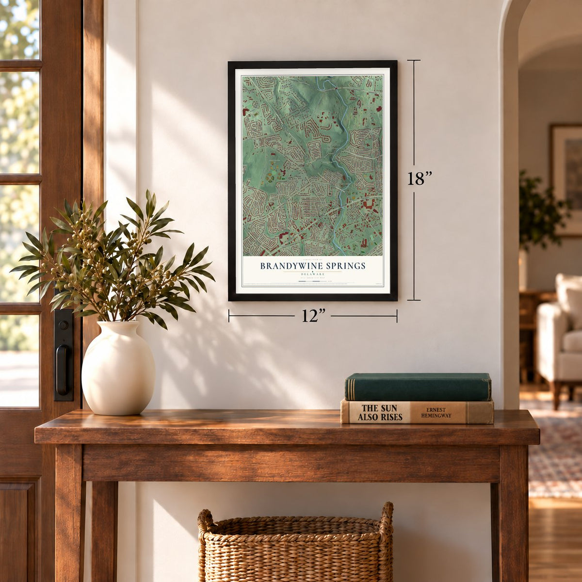
12" x 18" Archival Matte Print
A Map of Home. A Work of Art.
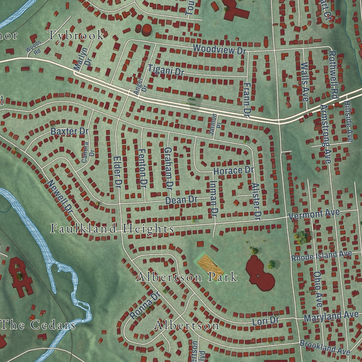
Explore Brandywine Springs, Delaware from a whole new perspective. Created using aerial imagery and detailed geographic data, this map captures Brandywine Springs building by building, with labeled streets, familiar landmarks, and shaded topographical relief that highlights the natural contours of the landscape.
Combining modern data with the timeless character of a vintage atlas, this map is just as interesting up close as it is beautiful on the wall. Whether you grew up in Brandywine Springs, spent memorable years there, or call it home today, this unique map is a great way to celebrate a place that means something to you. Zoom in on the preview to look for your street, and then order a print to put your memories on the wall.
Three ways to hang it
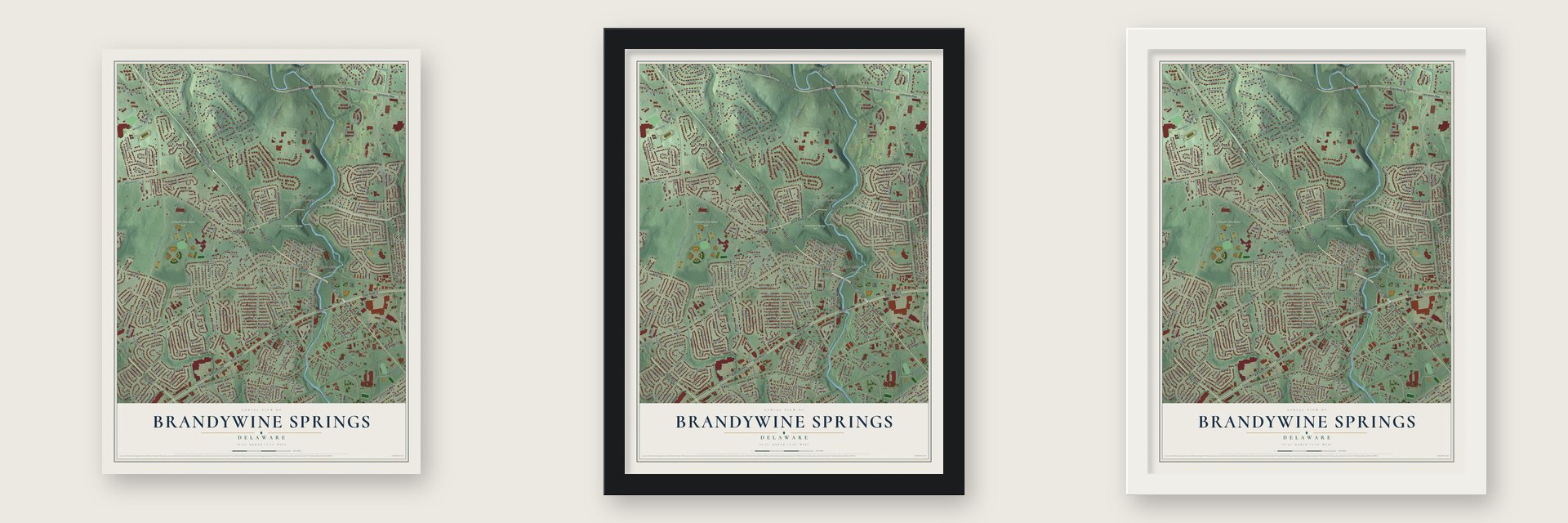
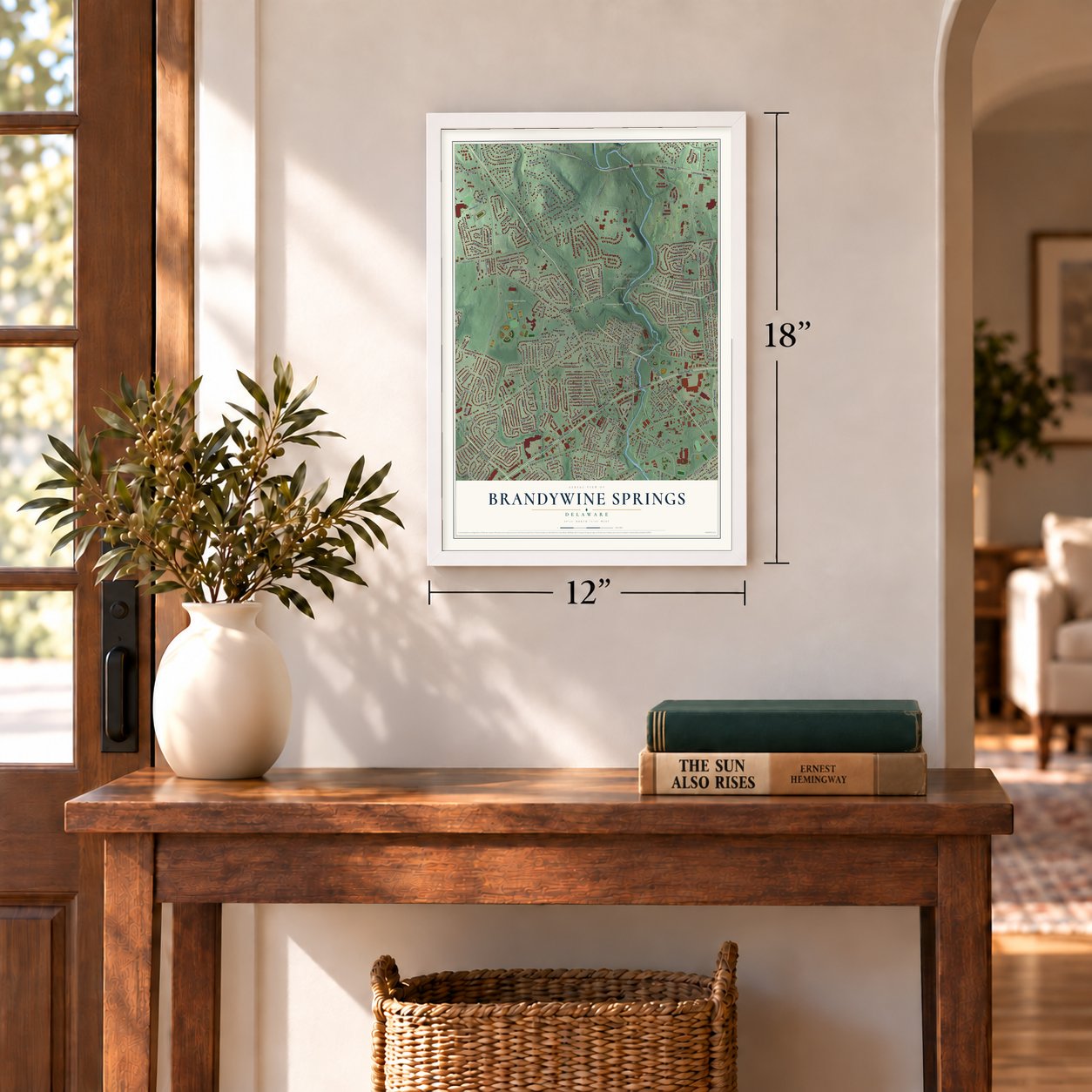
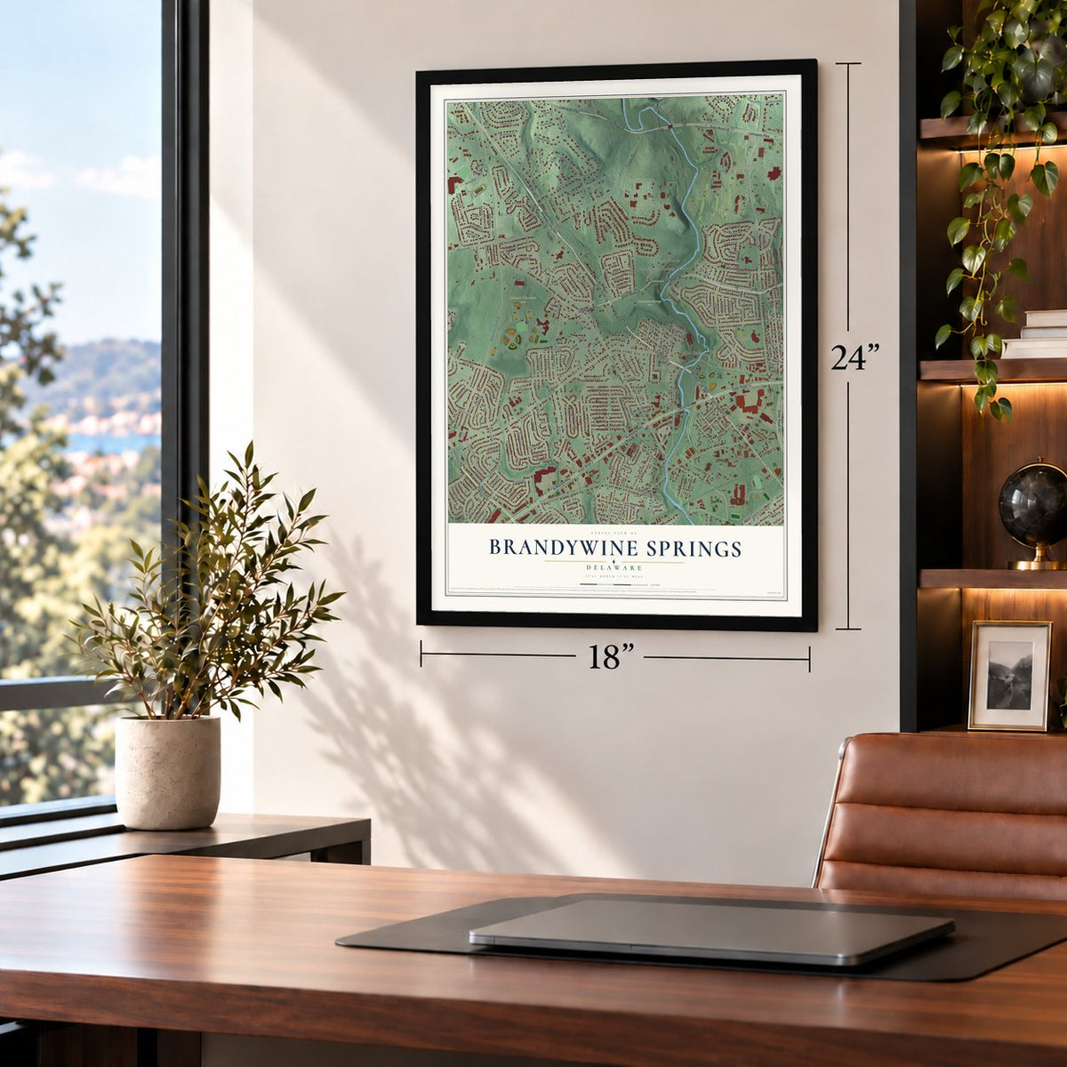
Unframed archival matte, a black wood frame or a white wood frame.
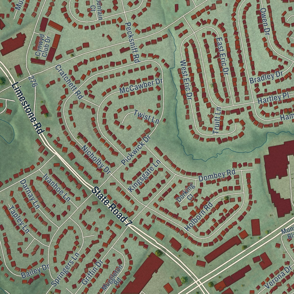
Up close
Geography Worth Displaying
This map was created using accurate cartographic data and authoritative geographic sources, including the U.S. Geological Survey and the Census Bureau. The map brings together terrain, waterways, roads, and building detail. The majority of the streets are labeled, houses are accurately depicted, and the topography is derived from government sources. Combining local data with carefully composed color and shading leads to this beautifully detailed Brandywine Springs artwork for your wall.
Rather than simply showing street outlines, we’ve included as many of the street names as we could reasonably fit on the map while keeping their names legible. Zoom in on the high resolution preview to see exactly what’s on the map. We truly set out to create a statement piece for anyone who loves Brandywine Springs. So whether it’s for you, or a gift for someone you love, we hope this map of Brandywine Springs brings back fond memories.
Read the story behind this map: Detailed Map of Brandywine Springs, Delaware.
Find your street
Names on the Brandywine Springs map
Every name below is printed on this map. Look for your street, your school, the park where you played, or the pond down the road.
Places and landmarks30
- Brandywine Springs Park
- Delcastle Recreation Park
- Brookmeade
- Winterbury
- Duncan Village
- Sherwood Park
- Mitchell Estates
- Tybrook
- Cooper Farm
- Albertson Park
- Westminster
- Marshallton Green
Show all 30 places
- Hyde Park
- Cranston Heights
- The Cedars
- Dunlinden Acres
- Brandywine Springs Manor
- Westmont
- Parkwood
- Belford Manor
- Greenbank
- Duncan Glen
- Cedars
- Coffee Run
- Duncan Woods
- Albertson
- Faulkland Heights
- Kirkwood Gardens
- Faulkland
- Faulkland Woods
Streets and roads282
- State Road 41
- Newport Gap Pike
- State Road 2
- Kirkwood Highway
- Lancaster Pike
- State Road 48
- Faulkland Road
- State Road 34
- Limestone Road
- State Road 7
- State Road 62
- State Road 141
- Winterbury Circle
- Milltown Road
- Lorrain Avenue
- McKennans Church Road
- Newell Drive
- Pecksniff Road
- Centerville Road
- Old Capitol Trail
- Duncan Road
- Greenbank Road
- Hercules Road
- Nicholby Drive
- Mitchell Drive
- Millcreek Road
- Evelyn Drive
- Elder Drive
- Bardell Drive
- Pickwick Drive
Show all 282 streets
- Saint John Drive
- Skylark Road
- Newport Road
- Hammond Place
- Alister Drive
- Armstrong Avenue
- Turnstone Drive
- Tanager Drive
- Wordsworth Drive
- Cheltenham Road
- Kiamensi Road
- Oldbury Drive
- Ipswich Drive
- Ambleside Drive
- Whitekirk Drive
- Bromley Drive
- Katherine Avenue
- Drummond Drive
- Hartley Place
- East Parris Drive
- West Oakland Drive
- Lori Drive
- Owen Drive
- Dean Drive
- Jackson Avenue
- Woodview Drive
- Griffin Drive
- Meriden Drive
- Yearsley Drive
- Oxford Way
- West Eric Drive
- West Robino Drive
- East Oakland Drive
- Heritage Drive
- Dartmouth Road
- Meadowbrook Avenue
- West Rolling Mill Road
- Bailey Drive
- Dorcaster Drive
- Oracle Road
- Deville Circle
- Ohio Avenue
- Harvard Road
- Woodward Avenue
- Verona Drive
- McCawber Drive
- Belford Drive
- Arcadia Way
- Delaware Street
- Crossgates Drive
- North Robino Drive
- Cranston Avenue
- Weer Circle
- Chariot Court
- Highgate Road
- Washington Avenue
- Farrand Drive
- Ronna Drive
- Dombey Road
- Pine Avenue
- Wallasey Road
- Calf Run Drive
- Frances Drive
- Maple Avenue
- New Street
- Sherbrooke Drive
- Darby Drive
- Cedar Avenue
- Prospect Avenue
- Sherwood Drive
- Eunice Avenue
- Maclary Drive
- Oak Ridge Road
- Stanton Road
- Paisley Drive
- Highland Avenue
- Cornell Road
- Nancy Avenue
- Arundel Drive
- East Eric Drive
- Kittiwake Drive
- Glenbarry Drive
- Westlock Drive
- Stratton Drive
- Dunbarton Drive
- Springers Lane
- Lehigh Road
- Clyde Street
- Sheffield Drive
- East Robino Drive
- School Lane
- Gilbert Avenue
- Rothwell Road
- Regis Falls Avenue
- Hyde Run Drive
- Parker Court
- Watford Road
- Whitehall Circle
- Tigani Drive
- Clayton Avenue
- Yale Road
- Woodland Avenue
- Carillon Drive
- Derbyshire Way
- Beaver Falls Place
- Teal Road
- Cranhill Drive
- Horace Drive
- Lafayette Street
- Holborn Road
- Norman Drive
- Fogg Lane
- Kiamensi Avenue
- Bristol Drive
- Loveville Road
- Balmore Lane
- Burnhaven Lane
- Loper Lane
- Chalet Drive
- Kiamensi Street
- Hutchinson Road
- Darnay Lane
- Cratchett Road
- Lister Drive
- Lands End Road
- Fenton Drive
- Harris Place
- Tapley Lane
- Toucan Road
- Baxter Drive
- Vermont Avenue
- Addison Drive
- Merrimor Court
- Frann Drive
- Graham Drive
- Ivanhoe Lane
- Maryland Avenue
- Inman Drive
- Gary Avenue
- Abbey Road
- Mullet Road
- Alexis Court
- Walls Avenue
- Bradley Drive
- Redstart Court
- Wilson Street
- Hannam Road
- Dunlap Drive
- Sheen Drive
- Twist Lane
- Kingsgate Lane
- Locust Road
- Hayes Court
- Orchard Road
- Glen Drive
- Albany Place
- Charles Place
- Trenton Place
- Oak Street
- Truitt Lane
- Stonewood Way
- Oaknoll Road
- Parris Drive West
- Overlook Avenue
- Hillside Avenue
- Marshall Avenue
- Grafton Drive
- Lincoln Avenue
- Melson Road
- Dandenog Drive
- Harrison Avenue
- Willow Spring Road
- Spice Mill Lane
- Breckenridge Drive
- Coffee Run Lane
- Wild Cherry Lane
- Entwisle Court
- Fells Lane
- Muggleton Road
- Westgate Drive
- Thomas Pointe Circle
- Rhode Island Avenue
- Brookland Avenue
- Monica Boulevard
- Denbeigh Court
- Niagara Falls Drive
- Kentshire Court
- Roselawn Avenue
- Lake Avenue
- South Hampshire Court
- Seminole Avenue
- Victoria Falls Lane
- Hickory Spring Road
- Woodhaven Drive
- Edwards Avenue
- Nelson Lane
- Devonshire Court
- Beech Street
- Gannet Lane
- Tree Line Court
- Albertson Boulevard
- Pine Street
- Cedar Street
- Cunard Street
- Spruce Avenue
- Hampton Way
- Cynwyd Club Drive
- Rothwell Drive
- Anthony Court
- Paoletti Drive
- Plover Court
- Balmoral Court
- Tracy Court
- Marlyn Drive
- Fountain Court
- Center Circle
- Berlin Street
- Ciro Court
- Dorking Court
- Warren Lane
- Klair Place
- Squirrel Hill Court
- Sugar Loaf Lane
- Claire Place
- Leigh Court
- Toby Court
- Centerville Terrace
- Canora Drive
- Waxwing Court
- Arrowhead Lane
- Valley Brook Drive
- Herbert Drive
- Angel Drive
- Elmwood Street
- Woodale Road
- Kings Ridge Road
- Beacon Court
- Justis Avenue
- Charles Road
- Fenpor Avenue
- Elizabeth Avenue
- Cheshire Court
- Trudy Drive
- Jarmon Place
- Galts Court
- Monte Circle
- Woods Road
- Thomas Pointe Drive
- Cavendish Court
- Larson Avenue
- Longford Court
- Logans Lane
Names are listed as they appear on the printed map. Zoom into the product photos to find them.
About Brandywine Springs, Delaware
George Washington's army camped at Brandywine Springs during the Revolutionary War. In 1826 a big four-story resort hotel rose here. Daniel Webster, Henry Clay and John Quincy Adams all stayed there. In the 1880s the area drew crowds again for its mineral springs.
An amusement park here once had rides and the Roof Garden Theater, an early movie house. Films of the park from about 1903 are among the oldest moving pictures of Delaware. The park closed after 1923, and the land became a state park in 1956.
Keep exploring Delaware
Brandywine Springs is one of 94 Delaware towns we've mapped. Every dot on the map is a print of its own.
The search covers every state, Delaware first.
Near Brandywine Springs
Order 2 or more town maps and save 10%. Shown in the size and finish you picked above, so they hang as a set.
- Stanton 12" x 18" / Archival Matte Print $39.99
- Heritage 12" x 18" / Archival Matte Print $39.99
- Elsmere 12" x 18" / Archival Matte Print $39.99

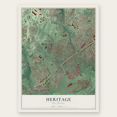
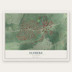
More maps nearby: Pike Creek, Newport, Greenville, Pike Creek Valley and Richardson Park.
The art of mapping a place
How This Map Was Made
Real places. Remarkable detail. Discover the layers that turn geographic data into a map of home.

The view from above
Aerial imagery reveals the character of the land: woodland, open fields, and the patterns of a place.

The shape of the land
Elevation data brings hills, valleys, and subtle changes in the landscape into view.

The details of home
Roads, waterways, and building footprints come together to make the map feel unmistakably local.

Geography becomes art
Considered color, shading, and typography bring the layers together in a map made for your wall.


Process illustrated with Mendon, Massachusetts. Aerial imagery: USDA NAIP. Terrain: USGS 3D Elevation Program. Map details and finished artwork: KNOWOL.
The Details
About This Print
Choose an archival matte print, or a black or white Ayous wood frame. The archival matte print is unframed.
Select your size and finish above to see the matching product image and price.
Materials & Craftsmanship
A contemporary map with the character of a classic atlas, printed on archival matte paper. Optional frames are made from Ayous wood.
Your printed map does not include the watermark shown in the full-map preview.
Shipping & Delivery
Free shipping within the United States. Every print is made to order in the USA.
Buying a gift? Add a note in your cart and we'll include it. We never put prices in the package.
Prints ship within 2 to 3 business days. Allow 7 to 10 days total from ordering for delivery. Timing may vary during holidays or periods of high order volume.
Read our shipping policy.
Returns and damaged prints
Each print is made to order. Change-of-mind refunds are not available after production.
If your print arrives damaged, misprinted or incorrect, contact support@knowol.com within 30 days of receiving it. Include your order number, photos and a description of the issue.
Read our full refund and replacement policy. For questions about your order, email support@knowol.com.