
Search for another town




Free U.S. delivery 7 to 10 days after you order
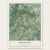
Sugar Hill, Georgia Map Art
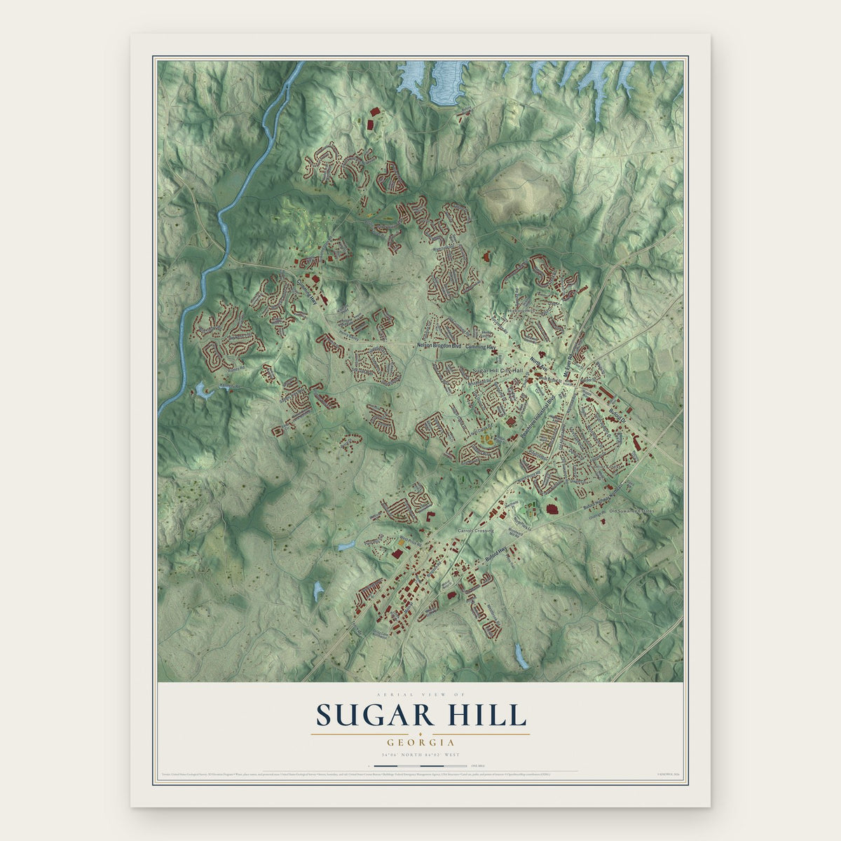
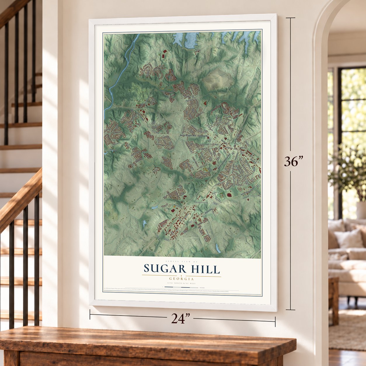
A new map of Sugar Hill, Georgia, made in 2026 and printed to order on thick archival matte paper.
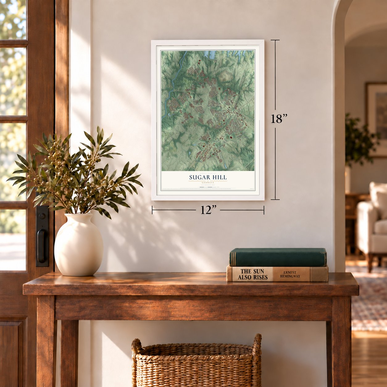
12" x 18" Archival Matte Print
A Map of Home. A Work of Art.
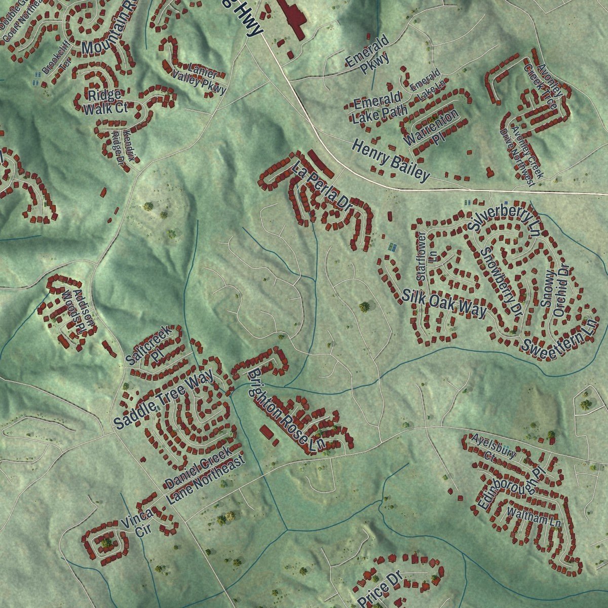
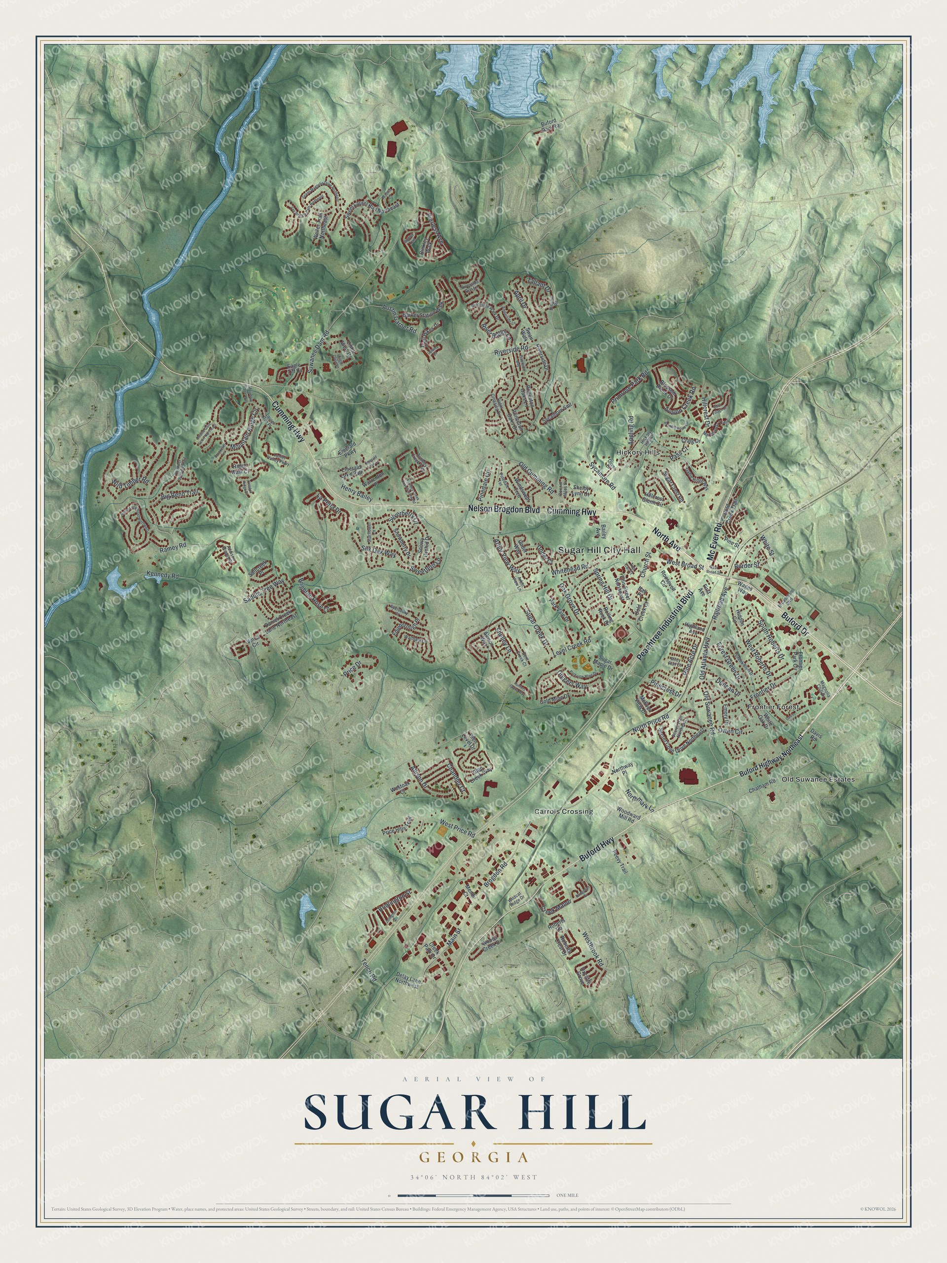
Explore Sugar Hill, Georgia from a whole new perspective. Created using aerial imagery and detailed geographic data, this map captures Sugar Hill building by building, with labeled streets, familiar landmarks, and shaded topographical relief that highlights the natural contours of the landscape.
Combining modern data with the timeless character of a vintage atlas, this map is just as interesting up close as it is beautiful on the wall. Whether you grew up in Sugar Hill, spent memorable years there, or call it home today, this unique map is a great way to celebrate a place that means something to you. Zoom in on the preview to look for your street, and then order a print to put your memories on the wall.
Three ways to hang it
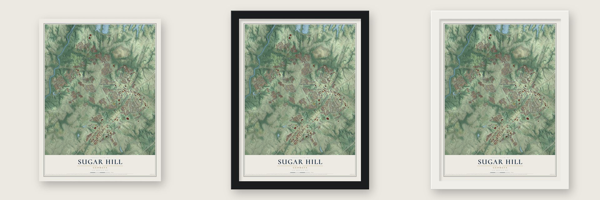
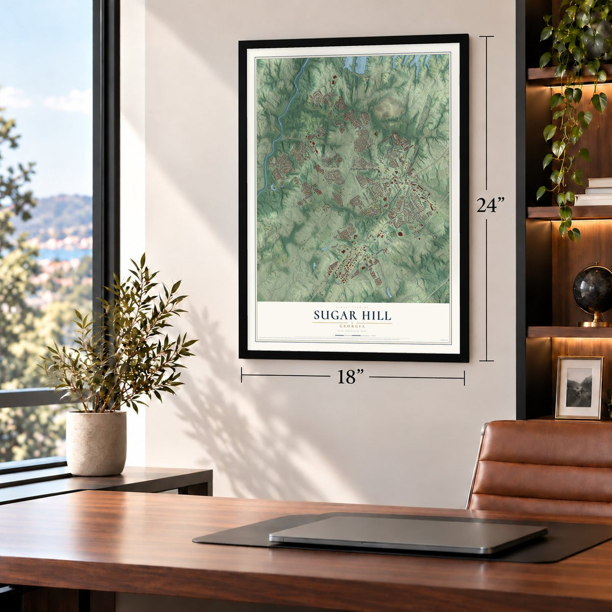
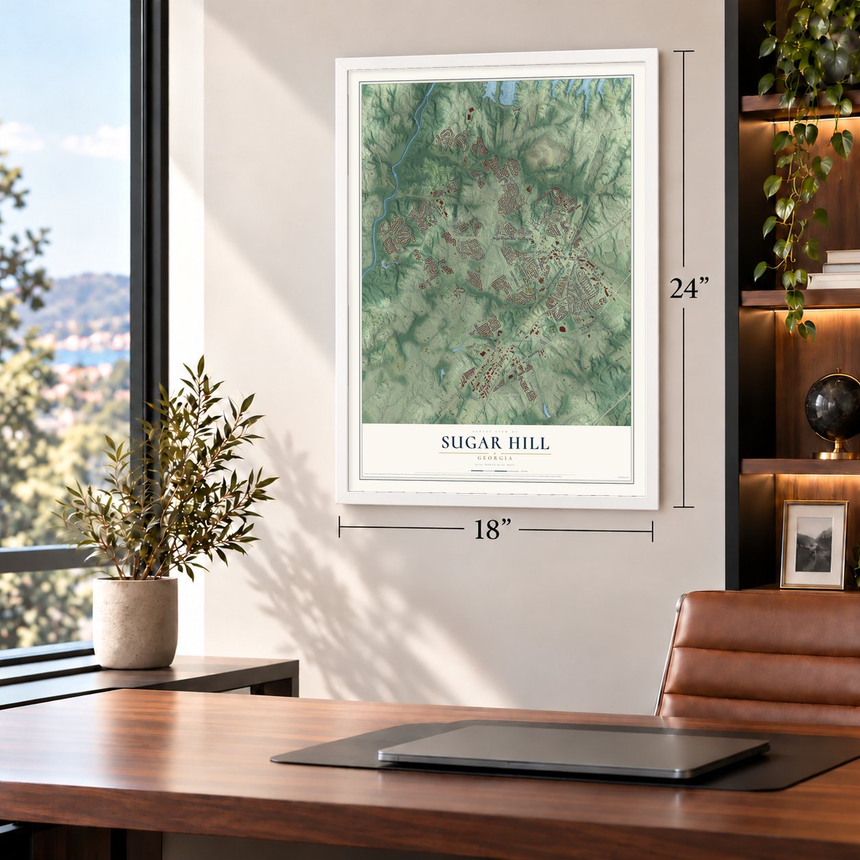
Unframed archival matte, a black wood frame or a white wood frame.
Up close
Geography Worth Displaying
This map was created using accurate cartographic data and authoritative geographic sources, including the U.S. Geological Survey (USGS) and FEMA. The map brings together terrain, waterways, roads, and building detail. The majority of the streets are labeled, houses are accurately depicted, and the topography is derived from government sources. Combining local data with carefully composed color and shading leads to this beautifully detailed Sugar Hill artwork for your wall.
Rather than simply showing street outlines, we’ve included as many of the street names as we could reasonably fit on the map while keeping their names legible. Zoom in on the high resolution preview to see exactly what’s on the map. We truly set out to create a statement piece for anyone who loves Sugar Hill. So whether it’s for you, or a gift for someone you love, we hope this map of Sugar Hill brings back fond memories.
Explore the full map of Sugar Hill, Georgia and read about the local places it shows.
About Sugar Hill, Georgia
Sugar Hill is a city of 25,076 people in northern Gwinnett County, close to Lake Lanier. Before it had a government, the area lay on a route between the railroad at Buford and the town of Cumming. Local tradition says a big load of sugar spilled on a hill along that road, and people began calling the spot the sugar hill.
The state legislature chartered the Town of Sugar Hill in 1939, and it was incorporated on March 24 of that year. Its first charter called for a mayor and five councilmen, all elected every two years. A change in 1952 split the elections, so the mayor and three council seats were filled in even years and two seats in odd years. A new charter in 1975 made the town the City of Sugar Hill.
- The fight to dissolve the cityIn 2001 the gas bills from the city's own utility rose far above prices outside Sugar Hill. Residents formed The Committee to Dissolve Sugar Hill, and more than 1,600 of them signed a petition asking for a vote to end both the utility and the city. State senator Billy Ray's bill for a non-binding vote passed the Senate but failed in the House, so the charter stood. The council then cut gas rates to match nearby areas.
- A city-run gas companySugar Hill still runs the Sugar Hill Gas Department, which supplies natural gas to its residents. The city belongs to the Municipal Gas Authority of Georgia.
- A new city hall in 2013As the population grew, the city approved plans in 2010 for a larger city hall. The new building was finished and opened in January 2013.
Find your street
Names on the Sugar Hill map
Every name below is printed on this map. Look for your street, your school, the park where you played, or the pond down the road.
Places and landmarks5
- Sugar Hill City Hall
- Carrols Crossing
- Frontier Forest
- Hickory Hills
- Old Suwanee Estates
Streets and roads188
- Peachtree Industrial Boulevard
- Buford Drive
- Mc Ever Road
- North Avenue
- Cumming Highway
- Nelson Brogdon Boulevard
- Buford Highway
- Railroad Avenue
- Old Atlanta Highway
- Border Street
- North Price Road
- Suwanee Dam Road
- Level Creek Road
- Hillcrest Drive
- Main Street
- Whitehead Road
- Brogdon Road
- Sycamore Road
- Pierless Avenue
- Wild Timber Road
- Old Cumming Road
- Austin Garner Road
- Primrose Park Road
- Mountain Ridge Circle
- Big Bend Trail
- Riverside Road
- West Broad Street
- Frontier Drive
- Pinedale Circle
- Chandler Court
Show all 188 streets
- Pine Acre Drive
- Westbrook Road
- Arbor View Way
- Spring Hill Drive
- Owen Circle
- West Price Road
- Tench Road
- Appling Road
- South Roberts Drive
- Henry Bailey
- Silk Oak Way
- West Roberts Drive
- Sweetfern Lane
- Forest Green Drive
- Oak Grove Drive
- Under Court
- Old Suwanee Road
- Allison Drive
- La Perla Drive
- Silverberry Lane
- Brighton Rose Lane
- Pass Court
- Kennedy Road
- Saddle Tree Way
- Sugar Creek Drive
- Shelley Lane
- Northmark Lane
- Diggers Way
- April Drive
- Ramey Road
- River Ridge Lane
- White Street
- Avalon Creek Road
- Pinecrest Drive
- Creek Manor
- Bridlington Street
- Tallant Drive
- Duncan Drive
- Price Drive
- Church Street
- Buford Highway Northeast
- Barker Station Walk
- Princeton Oaks Drive
- Gold Mine Drive
- Sweet Laurel Run Northeast
- Secret Cove Drive Northeast
- Windswept Trce
- McEver View Drive
- Sugar Maple Drive
- Riverside Drive
- Hidden Circle
- Glen Level Drive
- Park Vale Drive
- Links View Drive
- Ellis Street Northeast
- Vinca Circle
- Chatham Road
- Blossom Brook Drive
- Snowy Orchid Drive
- Gold Creek Trail
- Ridge Walk Court
- Snowberry Drive
- Oxcliffe Grove
- Eagle Tiff Drive
- Craig Drive
- Roberts Crest Drive
- Delay Lane Northwest
- Edinborough Place
- Woods Creek Drive
- Buford Dam Road
- Roosevelt Circle
- Princeton Oaks Lane
- White Oak Drive
- Emory Drive
- Rolling Rock Drive
- Peevy Trail
- Glen Creek Way
- Sugar Crest Road
- Hillcrest Glenn Circle
- Daniel Creek Lane Northeast
- Price Hills Trail
- Sycamore Smt
- Westoak Court
- Trail Hikes Drive
- Binkley Walk
- Wages Way
- Weller Trail Northeast
- Emerald Lake Path
- Pine Street
- Shelby Lynn Court
- Bailey Avenue
- Saltcreek Place
- Northway Place
- Frontier Park Circle
- Woodward Mill Road
- Allison Way
- Creek Park Drive
- Under Way
- Warrenton Place
- Emerald Parkway
- Highland Avenue
- Cold Creek Court
- Roberts Road
- Mendi Court
- Swan Walk
- First Avenue
- Davis Road
- Hall Place
- Avonley Creek Trce
- Sugar Crossing Drive
- Hickory Hills Drive
- Riverside Walk Drive
- Marakanda Trail
- Broadmoor Boulevard
- Thunder Woods Trail
- Secret Trail Northeast
- Pinedale Terrace
- Creek Bluff Drive
- Bent Creek Court
- Starflower Lane
- Gable Ridge Way
- Lanier Valley Parkway
- Laurel Run Place
- Waltham Lane
- Ayelsbury Court
- Addison Woods Place
- Olivet Drive
- Wildcat Ridge Drive
- Arbor View Lane
- Connor Miles Drive
- Riley Run Court
- Riverside Run Lane
- Magnolia Club Drive
- Dispain Road
- Top Cat Court
- East Broad Street
- Grand Magnolia Drive Northeast
- Grand Loop Road Northwest
- Van Briggle Path Northeast
- Parkview Mine Drive
- Avonley Creek Drive Northwest
- Bramblewood Circle
- Shire Village Drive
- Bridgeton Cv
- Double Gate Court Northeast
- Emerald Lake Lane
- Riverside Bay
- Amberside Lane
- Davis Street
- Mobilis Court
- Hunters Grove Way
- Kendrix Ridge Drive
- Mountain Ridge Way
- Julington Street
- Brookcliff Terrace
- Binkley Trail
- Eagle Close Lane
- Upland Court
Names are listed as they appear on the printed map. Zoom into the product photos to find them.
The art of mapping a place
How This Map Was Made
Real places. Remarkable detail. Discover the layers that turn geographic data into a map of home.

The view from above
Aerial imagery reveals the character of the land: woodland, open fields, and the patterns of a place.

The shape of the land
Elevation data brings hills, valleys, and subtle changes in the landscape into view.

The details of home
Roads, waterways, and building footprints come together to make the map feel unmistakably local.

Geography becomes art
Considered color, shading, and typography bring the layers together in a map made for your wall.


Process illustrated with Mendon, Massachusetts. Aerial imagery: USDA NAIP. Terrain: USGS 3D Elevation Program. Map details and finished artwork: KNOWOL.
The Details
About This Print
Choose an archival matte print, or a black or white Ayous wood frame. The archival matte print is unframed.
Select your size and finish above to see the matching product image and price.
Materials & Craftsmanship
A contemporary map with the character of a classic atlas, printed on archival matte paper. Optional frames are made from Ayous wood.
Your printed map does not include the watermark shown in the full-map preview.
Shipping & Delivery
Free shipping within the United States. Every print is made to order in the USA.
Buying a gift? Add a note in your cart and we'll include it. We never put prices in the package.
Prints ship within 2 to 3 business days. Allow 7 to 10 days total from ordering for delivery. Timing may vary during holidays or periods of high order volume.
Read our shipping policy.
Returns and damaged prints
Each print is made to order. Change-of-mind refunds are not available after production.
If your print arrives damaged, misprinted or incorrect, contact support@knowol.com within 30 days of receiving it. Include your order number, photos and a description of the issue.
Read our full refund and replacement policy. For questions about your order, email support@knowol.com.
Find your town
Looking for another city?
Find a map of home in our Georgia collection, or any town in the country.
Nearby
Maps of towns near Sugar Hill
Know someone from one of these towns? Their map makes a great gift.
 Suwanee
, Georgia
From $39.99See the map
 Buford
, Georgia
From $39.99See the map
 Rest Haven
, Georgia
From $39.99See the map
More maps nearby: Mulberry, Flowery Branch, Duluth, Lawrenceville and Cumming.