
Search for another town




Free U.S. delivery 7 to 10 days after you order
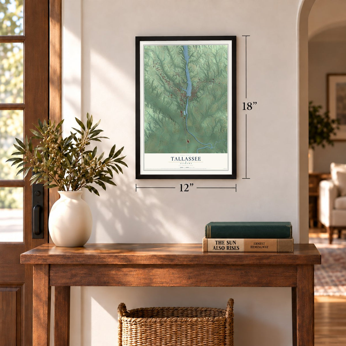
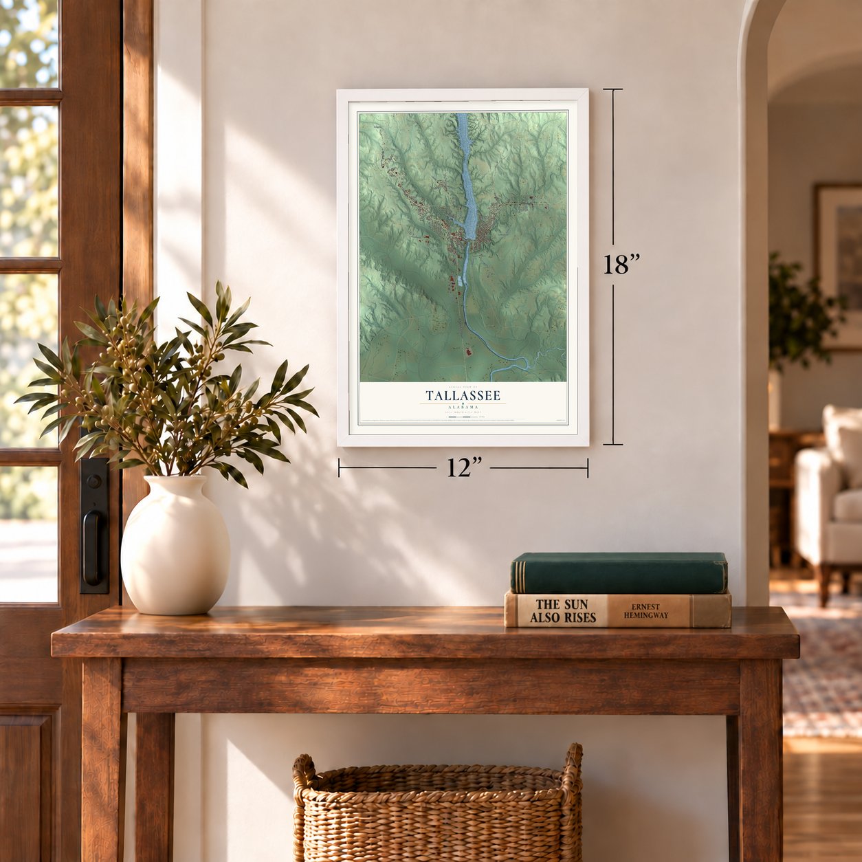
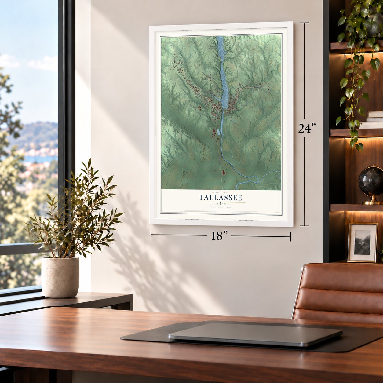
Tallassee, Alabama Map Art
A new map of Tallassee, Alabama, made in 2026 and printed to order on thick archival matte paper.
12" x 18" Archival Matte Print
A Map of Home. A Work of Art.
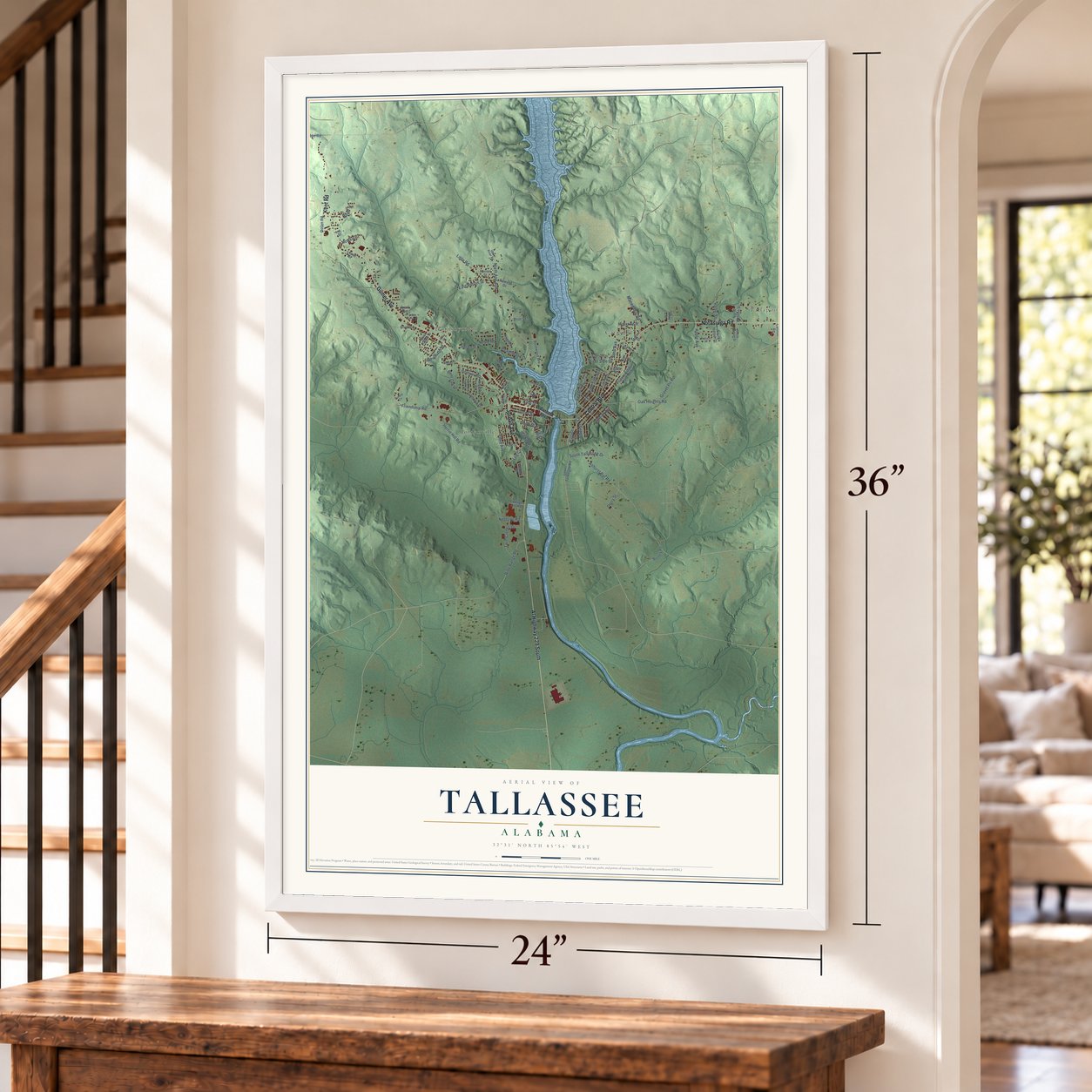
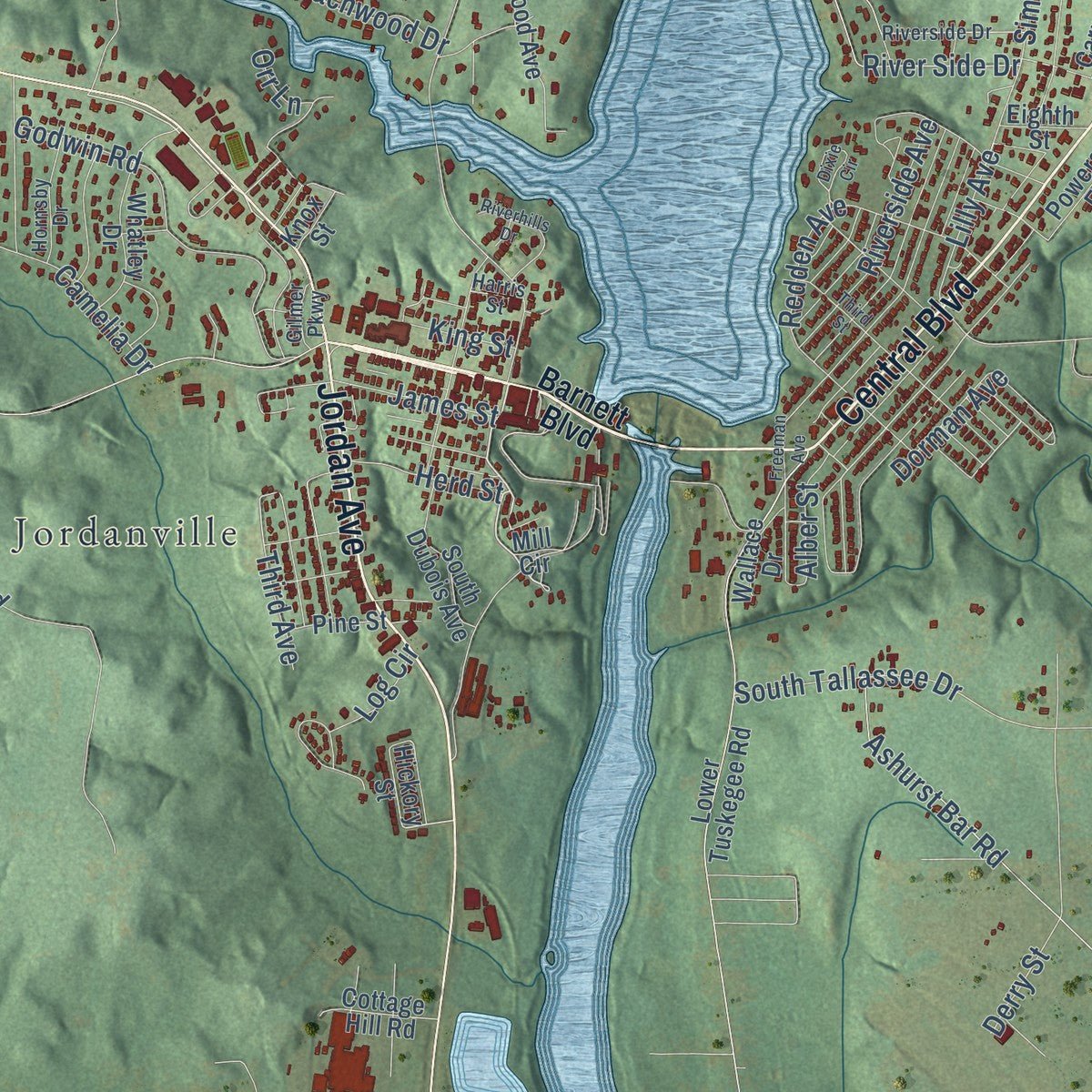
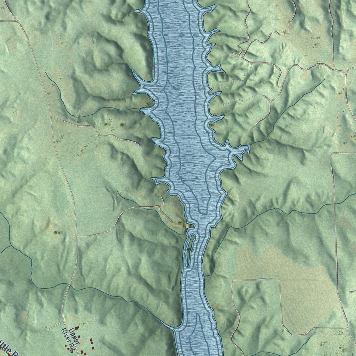
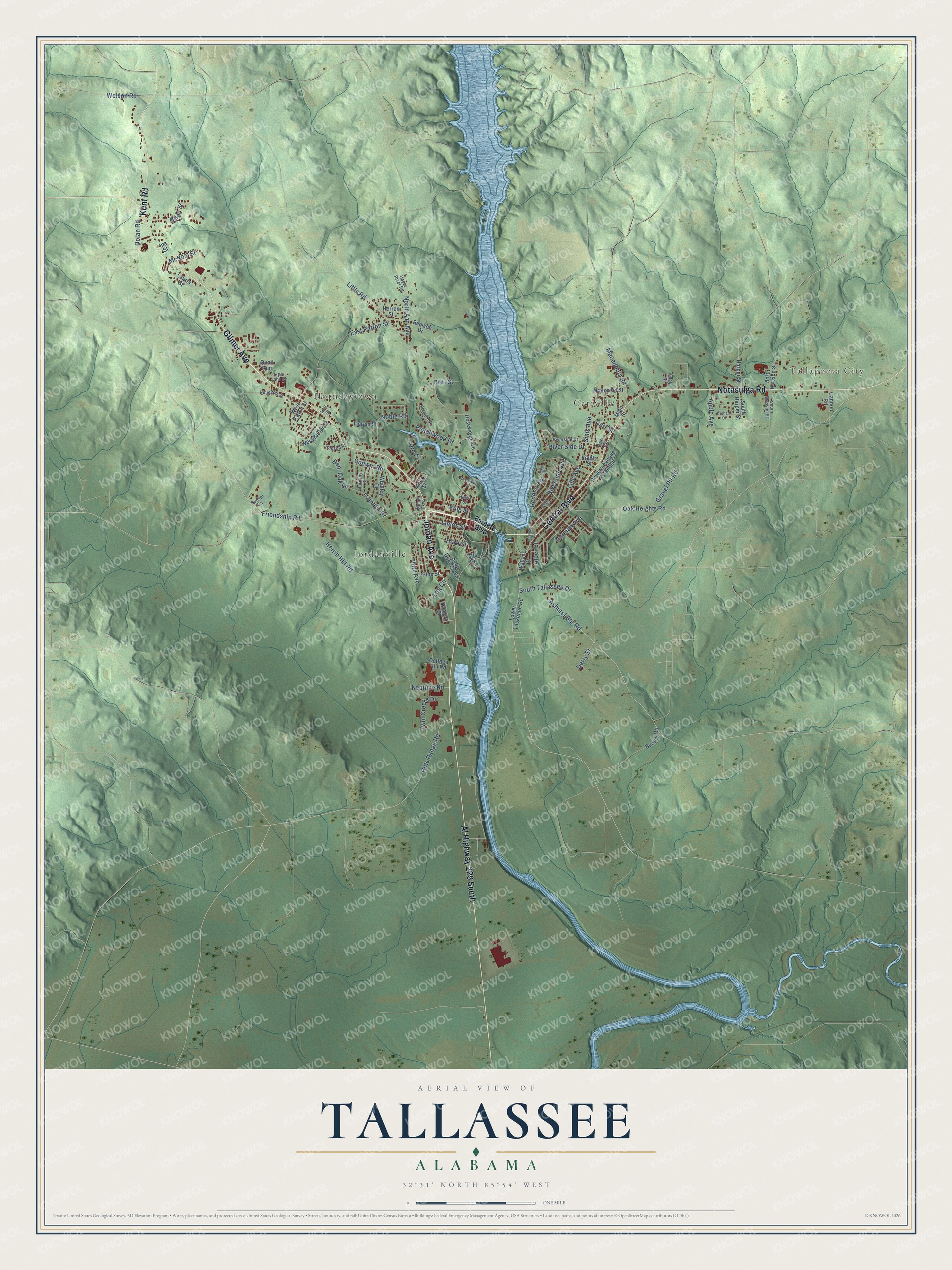
Explore Tallassee, Alabama from a whole new perspective. Created using aerial imagery and detailed geographic data, this map captures Tallassee building by building, with labeled streets, familiar landmarks, and shaded topographical relief that highlights the natural contours of the landscape.
Combining modern data with the timeless character of a vintage atlas, this map is just as interesting up close as it is beautiful on the wall. Whether you grew up in Tallassee, spent memorable years there, or call it home today, this unique map is a great way to celebrate a place that means something to you. Zoom in on the preview to look for your street, and then order a print to put your memories on the wall.
Three ways to hang it
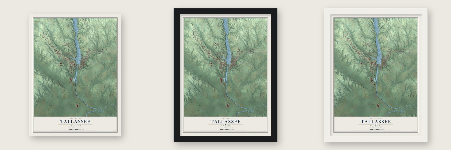
Unframed archival matte, a black wood frame or a white wood frame.
Up close
Geography Worth Displaying
This map was created using accurate cartographic data and authoritative geographic sources, including the U.S. Geological Survey and the Census Bureau. The map brings together terrain, waterways, roads, and building detail. The majority of the streets are labeled, houses are accurately depicted, and the topography is derived from government sources. Combining local data with carefully composed color and shading leads to this beautifully detailed Tallassee artwork for your wall.
Rather than simply showing street outlines, we’ve included as many of the street names as we could reasonably fit on the map while keeping their names legible. Zoom in on the high resolution preview to see exactly what’s on the map. We truly set out to create a statement piece for anyone who loves Tallassee. So whether it’s for you, or a gift for someone you love, we hope this map of Tallassee brings back fond memories.
Read the story behind this map of Tallassee, Alabama from 2026.

About Tallassee, Alabama
Tallassee is a city of 4,763 people on the Tallapoosa River, with most of it in Elmore County and a part across the water in Tallapoosa County. Its name probably comes from Talisi, an important Creek town that stood nearby. Few settlers came until the Creeks were forced off their land in 1832. By 1835 a town had been laid out, and a post office opened in 1836 or 1837.
Thomas Barnett, one of the earliest settlers, bought land along the river along with the right to use the falls. He built a small cotton factory there that made coarse osnaburg cloth for enslaved workers. By 1841 the Tallassee Falls Manufacturing Company was running on the power of the falls, weaving cotton first and wool later. It was the second mill of its kind in Alabama, and the mills carried the local economy for more than 160 years. The last of them closed in 2005, and about 580 jobs went with them.
- Carbines in a cotton millIn the spring of 1864, with the war closing in on Richmond, Virginia, Colonel Josiah Gorgas, the Confederate ordnance chief, moved the Richmond carbine shop into the Tallassee mill. The shop aimed to make 6,000 carbines a year, but the war ended long before it came near that goal.
- The armory that survivedRousseau's raid passed the armory by in 1864. In 1865, General Wilson's Union troops followed a faulty map and marched 10 miles east, and the threat of Forrest's Confederates kept them from coming back. Federal forces never destroyed it, which makes it the only Confederate armory that can say so.
- Officers' houses on King StreetThe Tallassee Falls Manufacturing Company helped build four houses for the armory's officers and staff, numbers 301, 303, 305 and 307 King Street. The mill company took them over when the armory closed in April 1865. Number 303 came down to make room for the Bank of Tallassee, but the other three still stand. Brigadier General Birkett Davenport Fry returned after the war and lived at 301 until 1880 as secretary of the mill company.
- The first train in 1896For most of the century Tallassee was cut off from the rest of the state. Then the mill grew and laid its own railroad to Montgomery, and in 1896 the first train came through. During those same years a dam was built across the Tallapoosa to power both the mill and the town. Tallassee was incorporated in 1908.
- Osceola's birthplaceMany believe Osceola was born in Talisi, the son of a Creek mother. After the Creek War he went to Florida, joined the Seminoles and rose as a leader who went on fighting U.S. forces. Other Creeks from around Tuckabatchee moved west to Indian Territory and gave their new settlement the name Talisi, and that town later grew into Tulsa, Oklahoma.
Find your street
Names on the Tallassee map
Every name below is printed on this map. Look for your street, your school, the park where you played, or the pond down the road.
Places and landmarks4
- Tallapoosa City
- Hornsbytown
- Carrville
- Jordanville
Streets and roads92
- Central Boulevard
- Jordan Avenue
- Gilmer Avenue
- Al Highway 229 South
- Notasulga Road
- Kent Road
- Little Road
- Wood Street
- Lilly Avenue
- North Ann Avenue
- Friendship Road
- Ashurst Bar Road
- Sims Avenue
- Oak Heights Road
- Macedonia Road
- Noble Road
- River Side Drive
- East Patton Street
- Rifle Range Road
- Godwin Road
- Camelia Drive
- South Tallassee Drive
- Twin Creeks Drive
- Herrin Hill Road
- Riverside Avenue
- Log Circle
- Dolan Road
- James Street
- Dorman Avenue
- Gravel Pit Road
Show all 92 streets
- Bent Oak Lane
- Redden Avenue
- Peachwood Drive
- Apple Avenue
- Herd Street
- McNeal Street
- Alber Street
- Neptune Road
- Derry Street
- Weldon Road
- Third Avenue
- King Street
- Britt Street
- Carr Street
- Orr Lane
- Barnett Boulevard
- West Butler Street
- Lower Tuskegee Road
- Hickory Street
- Rosewood Avenue
- South Dubois Avenue
- North Wesson Street
- Whatley Drive
- Main Street
- Powers Avenue Extended
- McKenzie Street
- Quail Run
- South Harper Street
- Harper Street
- West Patton Street
- Cottage Hill Road
- Herren Street
- Wallace Drive
- Burney Road
- Ingram Street
- Ramson Drive
- Cannon Road
- Pine Street
- Eighth Street
- Laurel Street
- Knox Street
- Clay Street
- Carr Circle
- Ina Street
- Mill Circle
- Riverside Drive
- Upper River Road
- Rosemere Drive
- Pinehurst Street
- Hudson Place
- South Wesson Street
- Hornsby Drive
- Hull Street
- Little John Drive
- Harris Street
- Gilmer Parkway
- Sunset Circle
- Freeman Avenue
- Third Street
- Dixie Circle
- Riverhills Drive
- Orchard Drive
Names are listed as they appear on the printed map. Zoom into the product photos to find them.
The art of mapping a place
How This Map Was Made
Real places. Remarkable detail. Discover the layers that turn geographic data into a map of home.

The view from above
Aerial imagery reveals the character of the land: woodland, open fields, and the patterns of a place.

The shape of the land
Elevation data brings hills, valleys, and subtle changes in the landscape into view.

The details of home
Roads, waterways, and building footprints come together to make the map feel unmistakably local.

Geography becomes art
Considered color, shading, and typography bring the layers together in a map made for your wall.


Process illustrated with Mendon, Massachusetts. Aerial imagery: USDA NAIP. Terrain: USGS 3D Elevation Program. Map details and finished artwork: KNOWOL.
The Details
About This Print
Choose an archival matte print, or a black or white Ayous wood frame. The archival matte print is unframed.
Select your size and finish above to see the matching product image and price.
Materials & Craftsmanship
A contemporary map with the character of a classic atlas, printed on archival matte paper. Optional frames are made from Ayous wood.
Your printed map does not include the watermark shown in the full-map preview.
Shipping & Delivery
Free shipping within the United States. Every print is made to order in the USA.
Buying a gift? Add a note in your cart and we'll include it. We never put prices in the package.
Prints ship within 2 to 3 business days. Allow 7 to 10 days total from ordering for delivery. Timing may vary during holidays or periods of high order volume.
Read our shipping policy.
Returns and damaged prints
Each print is made to order. Change-of-mind refunds are not available after production.
If your print arrives damaged, misprinted or incorrect, contact support@knowol.com within 30 days of receiving it. Include your order number, photos and a description of the issue.
Read our full refund and replacement policy. For questions about your order, email support@knowol.com.
Find your town
Looking for another city?
Find a map of home in our Alabama collection, or any town in the country.
Nearby
Maps of towns near Tallassee
Know someone from one of these towns? Their map makes a great gift.
 Reeltown
, Alabama
From $39.99See the map
 Franklin
, Alabama
From $39.99See the map
 Shorter
, Alabama
From $39.99See the map
More maps nearby: Eclectic, Notasulga, Emerald Mountain, Tuskegee and Redland.