
Search for another town




Free U.S. delivery 7 to 10 days after you order
Taylor, Arizona Map Art
Building by building, with labeled streets and shaded relief.
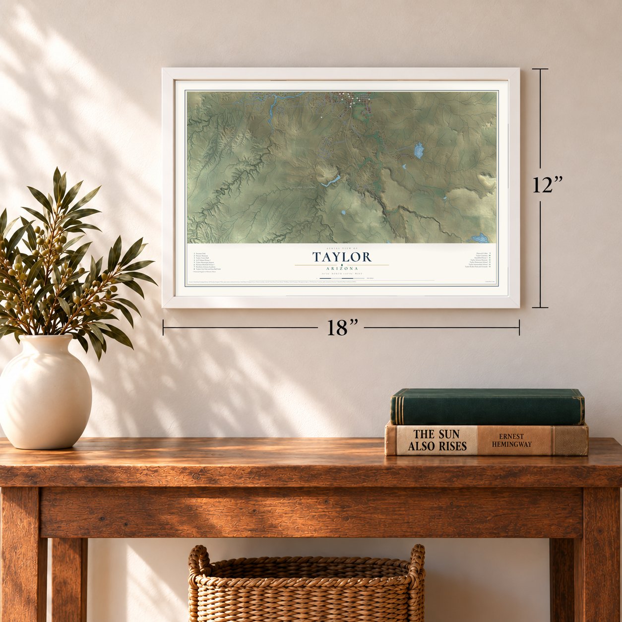
12" x 18" Archival Matte Print
A Map of Home. A Work of Art.
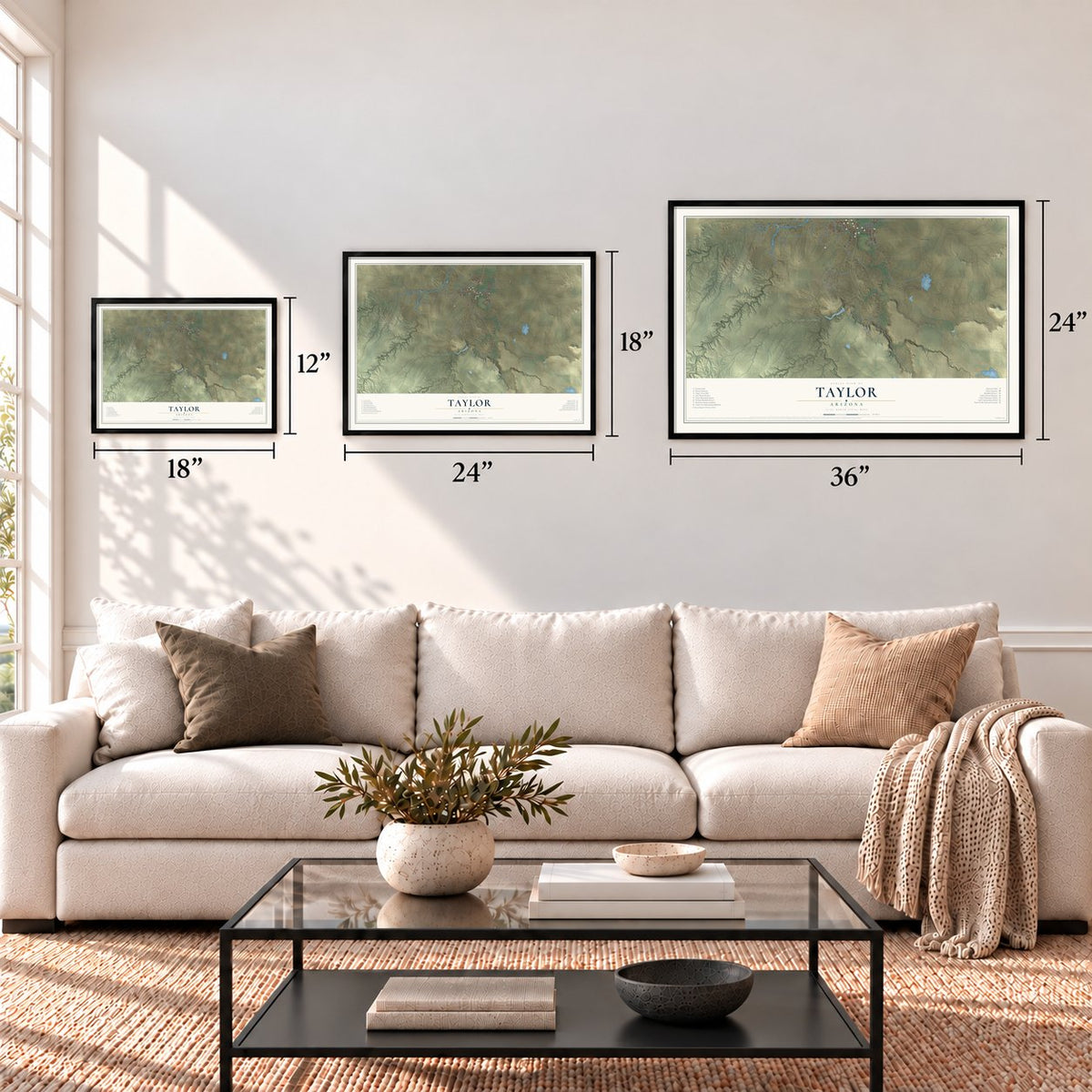
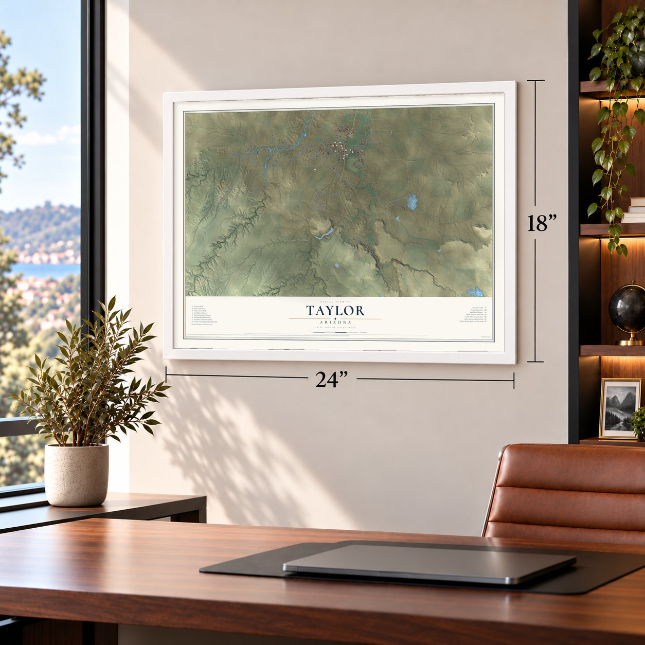
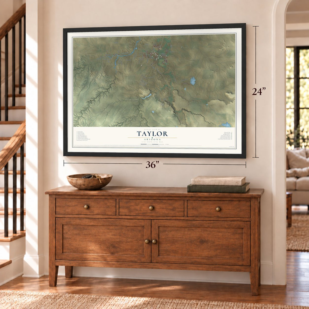
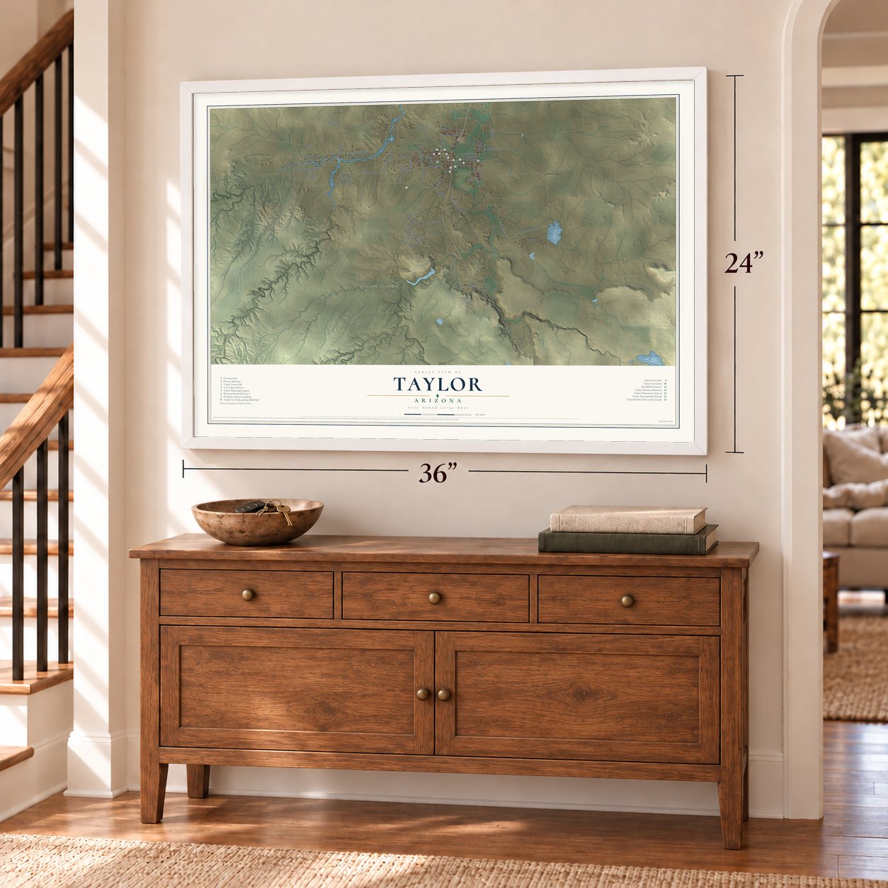
Explore Taylor, Arizona from a whole new perspective. Created using aerial imagery and detailed geographic data, this map captures Taylor building by building, with labeled streets, familiar landmarks, and shaded topographical relief that highlights the natural contours of the landscape.
Combining modern data with the timeless character of a vintage atlas, this map is just as interesting up close as it is beautiful on the wall. Whether you grew up in Taylor, spent memorable years there, or call it home today, this unique map is a great way to celebrate a place that means something to you. Zoom in on the preview to look for your street, and then order a print to put your memories on the wall.

Three ways to hang it
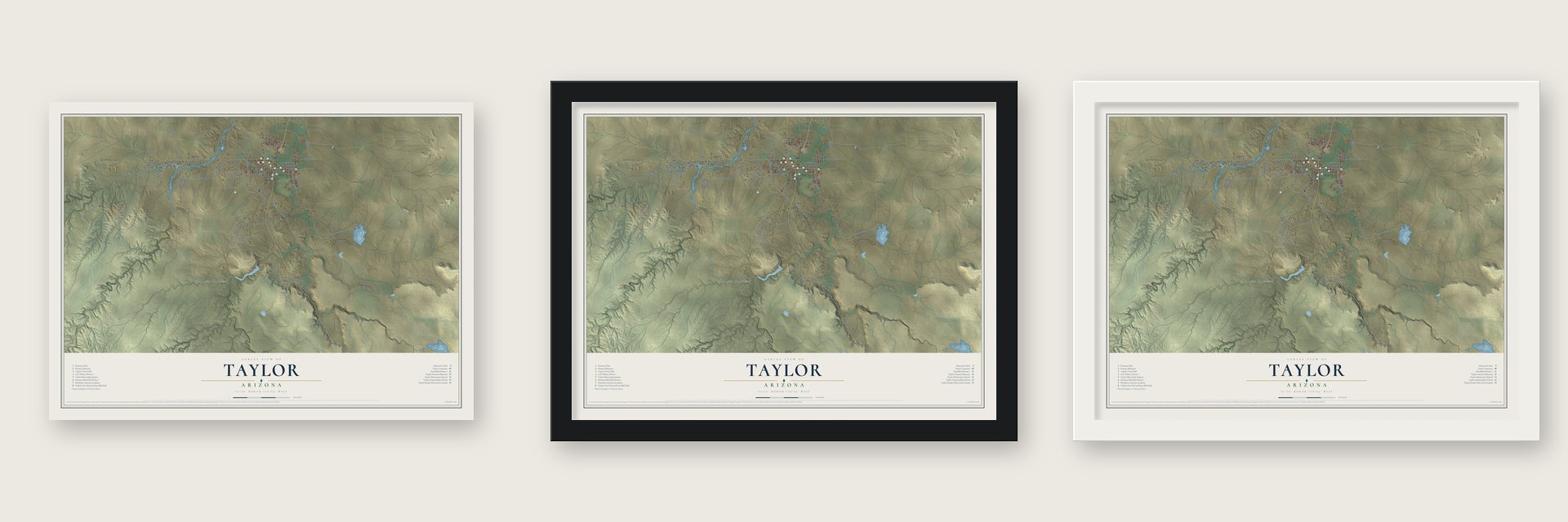
Unframed archival matte, a black wood frame or a white wood frame.
Up close
Geography Worth Displaying
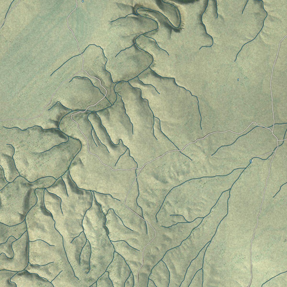
This map was created using accurate cartographic data and authoritative geographic sources, including the U.S. Geological Survey (USGS) and FEMA. The map brings together terrain, waterways, roads, and building detail. The majority of the streets are labeled, houses are accurately depicted, and the topography is derived from government sources. Combining local data with carefully composed color and shading leads to this beautifully detailed Taylor artwork for your wall.
Rather than simply showing street outlines, we’ve included as many of the street names as we could reasonably fit on the map while keeping their names legible. Zoom in on the high resolution preview to see exactly what’s on the map. We truly set out to create a statement piece for anyone who loves Taylor. So whether it’s for you, or a gift for someone you love, we hope this map of Taylor brings back fond memories.
Explore the full map of Taylor, Arizona and read about the local places it shows.
Find your street
Names on the Taylor map
Every name below is printed on this map. Look for your street, your school, the park where you played, or the pond down the road.
Places and landmarks1
- Schoens Crossing
Streets and roads63
- Main Street
- Cottonwood Drive
- Walnut Drive
- Gene Taylor Ranch Road
- Vista Drive
- Bull Duck Lane
- Center Street
- Old School House Road
- Hillshire Drive
- Highland Boulevard
- Pinedale Road
- Paper Mill Road
- Love Lake Road
- Hereford Road
- South Willow Lane
- 700 Street East
- Ranch Road
- Hunt Ranch Road
- Palomino Drive
- Cattle Lane
- Taylor Farms Drive
- Foothills Boulevard
- Arena Ests
- Maverick Lane
- Blossom Lane
- Casa Linda Drive
- Airport Road
- Harvest Court
- Sunflower Drive
- Malapai Road
Show all 63 streets
- Pine Street
- Meadow Way
- Sunset Boulevard
- Cherry Court
- Echols Drive
- Angus Road
- Rocky Road
- Indian Village Road
- Hatch Lane
- East Belly Button Lane
- Airport Loop Road
- Freedom Circle
- Centennial Boulevard
- Fence Line Road
- Charolais Circle
- Apple Circle
- 1000th Street East
- Sandstone
- Trebil Road
- Power Lane
- Louis Lane
- Hill Drive
- Farmhouse Drive
- 200 Street West
- Shumway Road West
- Freeman Hollow
- Sierra Drive
- Plum Court
- Doc Bar Place
- Harvest Circle
- 1100 Street West
- Capps Drive
- Brimhall Lane
Names are listed as they appear on the printed map. Zoom into the product photos to find them.
About Taylor, Arizona
Taylor is a town of 3,995 people in Navajo County, built on both banks of Silver Creek at 5,640 feet. Latter-day Saint settlers founded it in January 1878, a few months ahead of their neighbors in Snowflake, and the town's own history names James Pearce as its settler. They named the place for John Taylor, who was the church's third president.
Silver Creek runs 45 miles from the White Mountains down to the Little Colorado River. Between 1917 and 1920 the Apache Railway laid track from the Santa Fe line at Holbrook through Snowflake and Taylor to the timber country at McNary. Taylor was incorporated in 1966, and the railroad abandoned its stretch from Snowflake to McNary in 1984.
- An anvil instead of fireworksThe custom was revived in 1953. Now the first blast comes at 4 a.m., the Jennings Band follows with patriotic music, and the anvil is fired again at other spots around town.
- The drum from NauvooMajor Edward Duzette made the Jennings drum from cowhide, birch and hickory. It was played in the Nauvoo Legion Band, rode west on the rear of Brigham Young's carriage with the first pioneer company in 1847, and later passed to Cyrus Jennings. The drum and the anvil together became the town's logo.
- No property tax, no mail carrierTaylor has never levied a property tax. It has no home mail delivery either, so residents living near the post office who prove they live in town get a small box there for free.
- Pioneer homes kept openThe Hancock Cabin and the Standifird Home are cared for by the Heritage Foundation and the town, which also run two museums, the Pioneer Museum and the Taylor Museum. On Memorial Day, Independence Day and Labor Day they open for special tours, served with beans, corn bread and wagon rides.
Keep exploring Arizona
Taylor is one of 528 Arizona towns we've mapped. Every dot on the map is a print of its own.
The search covers every state, Arizona first.
Near Taylor
Order 2 or more town maps and save 10%. Shown in the size and finish you picked above, so they hang as a set.
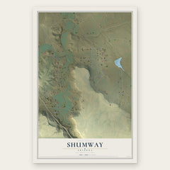
- Shumway 12" x 18" / Archival Matte Print $39.99
- Snowflake 12" x 18" / Archival Matte Print $39.99
- White Mountain Lake 12" x 18" / Archival Matte Print $39.99


More maps nearby: Linden, Pinedale, Show Low, Clay Springs and Wagon Wheel.
The art of mapping a place
How This Map Was Made
Real places. Remarkable detail. Discover the layers that turn geographic data into a map of home.

The view from above
Aerial imagery reveals the character of the land: woodland, open fields, and the patterns of a place.

The shape of the land
Elevation data brings hills, valleys, and subtle changes in the landscape into view.

The details of home
Roads, waterways, and building footprints come together to make the map feel unmistakably local.

Geography becomes art
Considered color, shading, and typography bring the layers together in a map made for your wall.


Process illustrated with Mendon, Massachusetts. Aerial imagery: USDA NAIP. Terrain: USGS 3D Elevation Program. Map details and finished artwork: KNOWOL.
The Details
About This Print
Choose an archival matte print, or a black or white Ayous wood frame. The archival matte print is unframed.
Select your size and finish above to see the matching product image and price.
Materials & Craftsmanship
A contemporary map with the character of a classic atlas, printed on archival matte paper. Optional frames are made from Ayous wood.
Your printed map does not include the watermark shown in the full-map preview.
Shipping & Delivery
Free shipping within the United States. Every print is made to order in the USA.
Buying a gift? Add a note in your cart and we'll include it. We never put prices in the package.
Prints ship within 2 to 3 business days. Allow 7 to 10 days total from ordering for delivery. Timing may vary during holidays or periods of high order volume.
Read our shipping policy.
Returns and damaged prints
Each print is made to order. Change-of-mind refunds are not available after production.
If your print arrives damaged, misprinted or incorrect, contact support@knowol.com within 30 days of receiving it. Include your order number, photos and a description of the issue.
Read our full refund and replacement policy. For questions about your order, email support@knowol.com.