
Search for another town



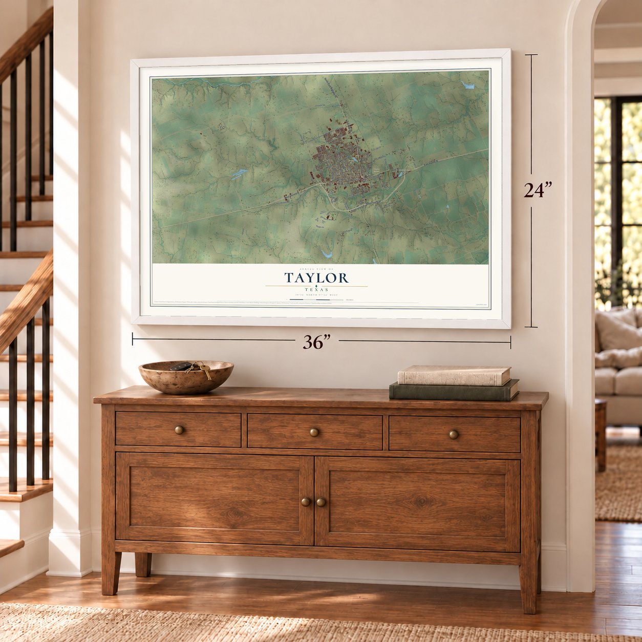

Free U.S. delivery 7 to 10 days after you order
Taylor, Texas Map Art
Building by building, with labeled streets and shaded relief.
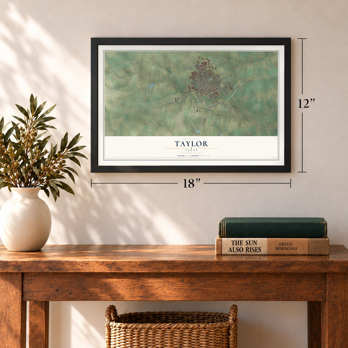
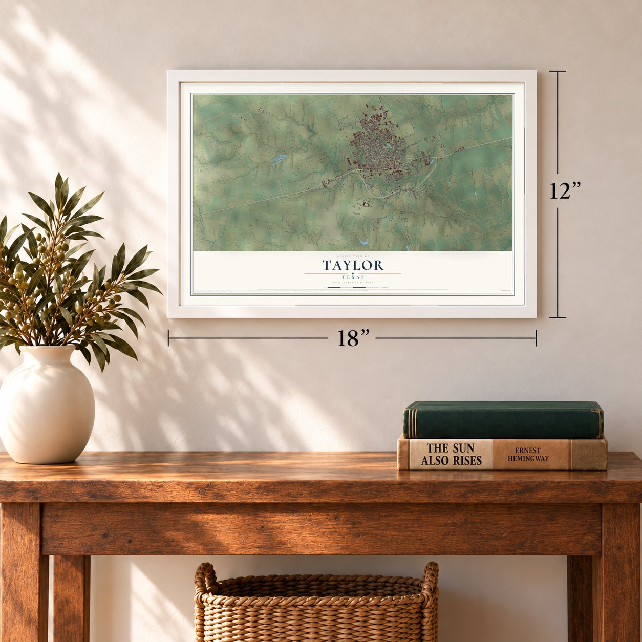
12" x 18" Archival Matte Print
A Map of Home. A Work of Art.
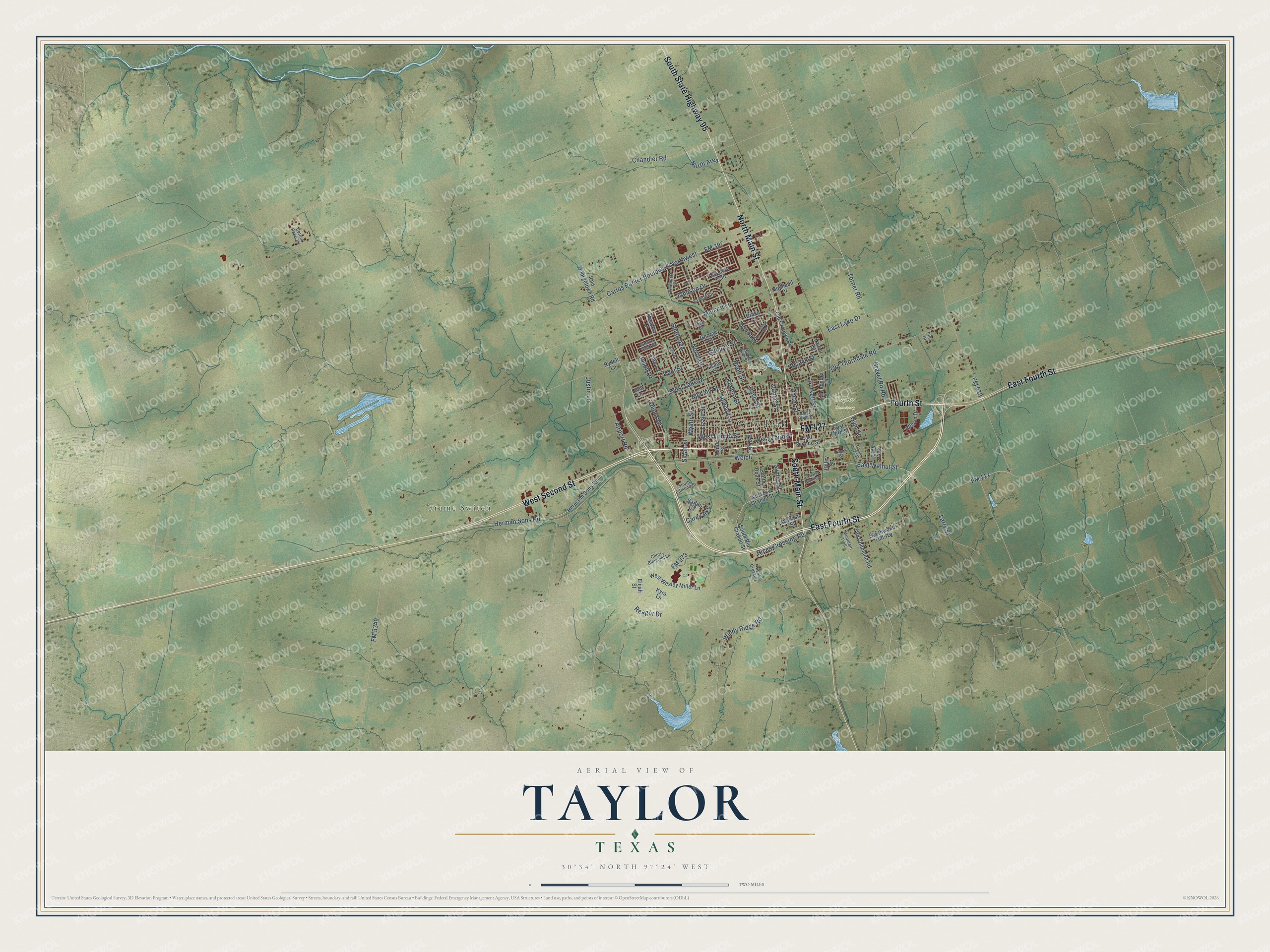
Explore Taylor, Texas from a whole new perspective. Created using aerial imagery and detailed geographic data, this map captures Taylor building by building, with labeled streets, familiar landmarks, and shaded topographical relief that highlights the natural contours of the landscape.
Combining modern data with the timeless character of a vintage atlas, this map is just as interesting up close as it is beautiful on the wall. Whether you grew up in Taylor, spent memorable years there, or call it home today, this unique map is a great way to celebrate a place that means something to you. Zoom in on the preview to look for your street, and then order a print to put your memories on the wall.
Three ways to hang it
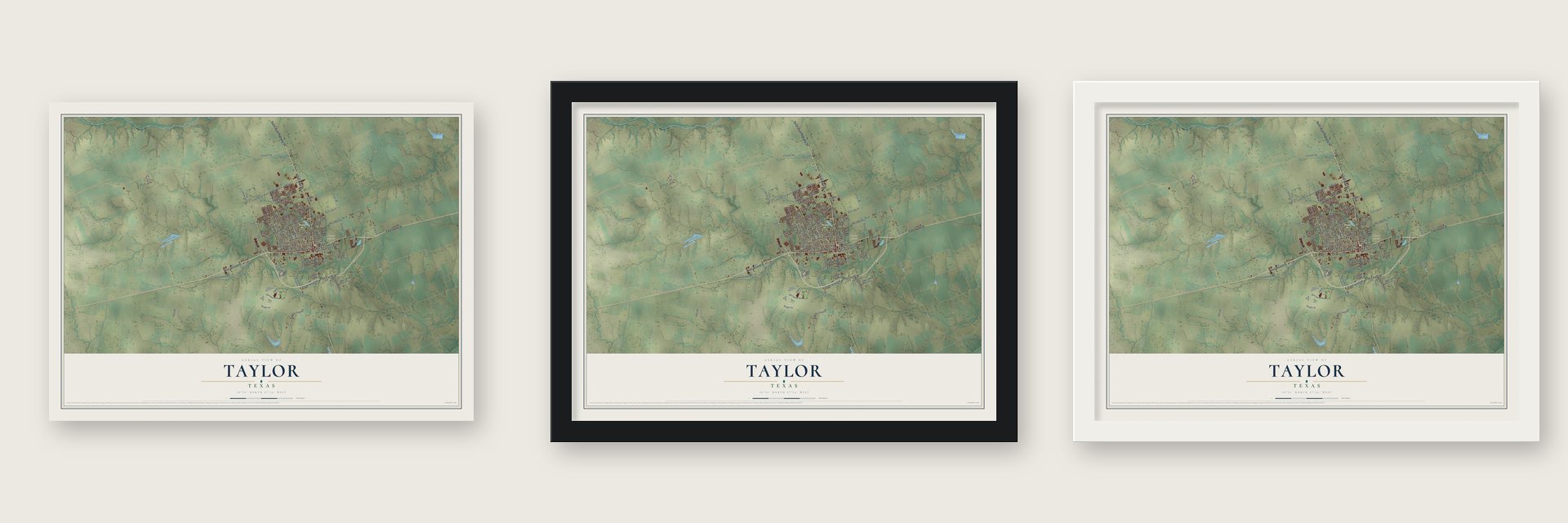
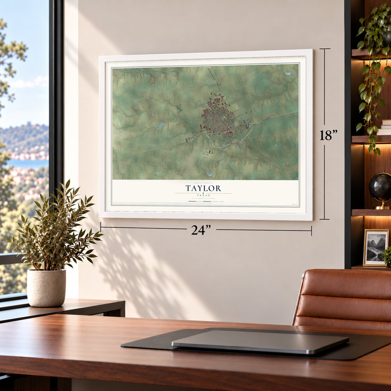
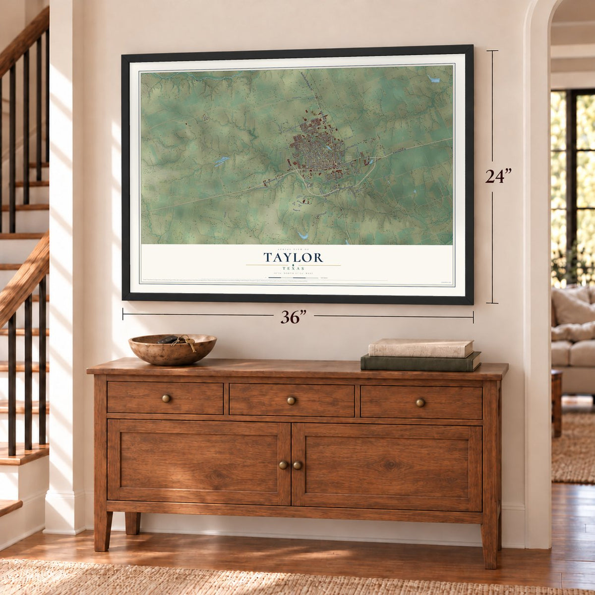
Unframed archival matte, a black wood frame or a white wood frame.
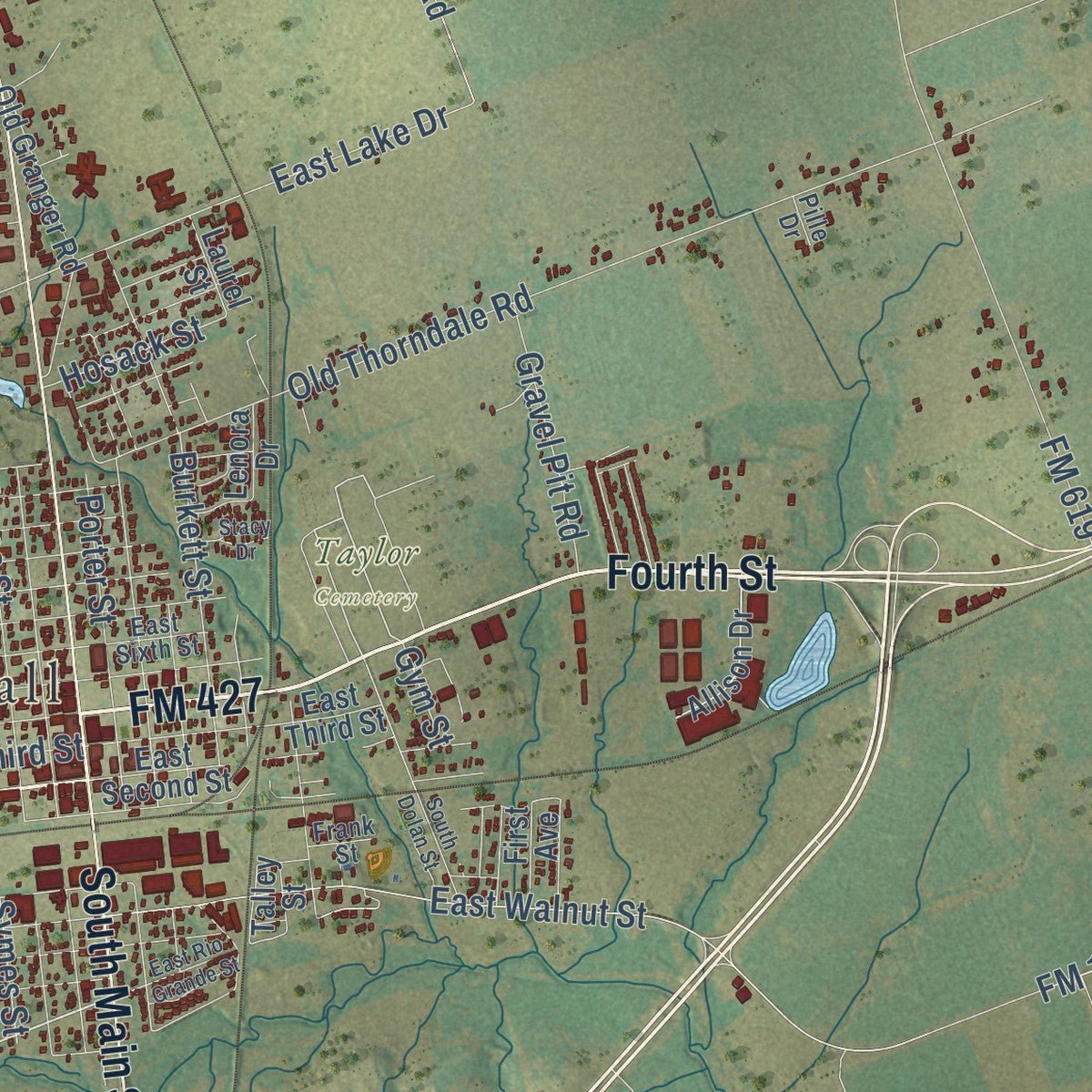
Up close
Geography Worth Displaying
This map was created using accurate cartographic data and authoritative geographic sources, including the U.S. Geological Survey and the Census Bureau. The map brings together terrain, waterways, roads, and building detail. The majority of the streets are labeled, houses are accurately depicted, and the topography is derived from government sources. Combining local data with carefully composed color and shading leads to this beautifully detailed Taylor artwork for your wall.
Rather than simply showing street outlines, we’ve included as many of the street names as we could reasonably fit on the map while keeping their names legible. Zoom in on the high resolution preview to see exactly what’s on the map. We truly set out to create a statement piece for anyone who loves Taylor. So whether it’s for you, or a gift for someone you love, we hope this map of Taylor brings back fond memories.

Find your street
Names on the Taylor map
Every name below is printed on this map. Look for your street, your school, the park where you played, or the pond down the road.
Places and landmarks4
- City Hall
- Frame Switch
- Murphy Park
- Taylor Cemetery
Streets and roads104
- FM 427
- East Fourth Street
- Fourth Street
- West Second Street
- North Main Street
- South State Highway 95
- South Main Street
- FM 397
- Wyeth Street
- Windy Ridge Road
- East Lake Drive
- Carlos Parker Boulevard Northwest
- Chandler Road
- FM 619
- FM 112
- Davis Street
- West Lake Drive
- FM 973
- Mallard Lane
- Old Thorndale Road
- East Walnut Street
- North Drive
- Herman Sons Road
- West Third Street
- Justin Lane
- West Fourth Street
- Welch
- FM 3349
- Johnson Drive
- Kimbro Street
Show all 104 streets
- Porter Street
- Howard Street
- Sloan Street
- Airport Road
- Vance Street
- Kent Street
- Rices Crossing Road
- Burkett Street
- Gilmore Street
- Larry Street
- Hood Street
- Gravel Pit Road
- Debus Drive
- Torner Road
- Donna Drive
- Symes Street
- Smith Avenue
- Lizzie Street
- Jason Drive
- North Area
- McLain Street
- Hosack Street
- Carey Avenue
- Reagor Drive
- Gym Street
- West Rio Grande Street
- South Rio Grande Street
- Old Georgetown Road
- Hermann Sons Road
- Old Coupland Road
- Southwood Hills Drive
- Meadow Lane
- West Wesley Miller Lane
- Old Granger Road
- East Third Street
- Kyra Lane
- East Second Street
- South Doak Street
- Yosemite Trail
- Drake Lane
- Annie Street
- Allison Drive
- Lenora Drive
- Highland Drive
- Fisher Street
- George Street
- Wabash Street
- First Avenue
- Lark Lane
- Laurel Street
- Elijah Street
- Park Street
- Lillie Lane
- Rydell Lane
- Sarah Cv
- Talley Street
- Crystal Circle
- North Lynn Street
- South Edmond Street
- Pinehurst Drive
- Cherry Blossom Lane
- East Sixth Street
- Canvas Back Drive
- Frank Street
- Mountain Trail
- Cotton Rows Lane
- Rices Crossing
- Trey Drive
- Pille Drive
- Grace Street
- East Rio Grande Street
- Stacy Drive
- South Dolan Street
- Velma Drive
Names are listed as they appear on the printed map. Zoom into the product photos to find them.
About Taylor, Texas
Taylor is a city of 16,267 people in southeastern Williamson County. It began in 1876, when the Texas Land Company held an auction of town lots because the International-Great Northern Railroad was on its way. The town was first called Taylorsville, after the railroad official Edward Moses Taylor, and the shorter name became official in 1892. Czech, German and Austrian settlers, along with others from Slavic lands, did much to build it, and it soon shipped cattle, grain and cotton.
By 1878 Taylor had 1,000 people and 32 businesses, but a fire in 1879 burned 29 of those businesses. The town rebuilt quickly, this time with sturdier buildings. In 1882 the Taylor, Bastrop and Houston Railway arrived, and machine shops and a roundhouse went up to serve both lines. That same year Taylor incorporated with a mayor and council, and in 1883 public schools took the place of several private ones.
“the largest inland cotton market in the world.”
- First savings and loan in TexasTwo banks were open in Taylor by 1890, and so was the state's first savings and loan. Around the same time the town gained an electric company, a cotton compress and a number of newspapers, and by 1900 a water line ran from the San Gabriel River and 100 men served in the volunteer fire department.
- A town built on cottonCotton led the local economy for decades, even as other industries arrived in the early 1900s. By 1940 Taylor had 7,875 people and 225 businesses. In 1951 the local paper reported 150 to 300 crews in the fields and a call for 3,000 more pickers, but machines soon took over the harvest and fewer migrant workers were needed. From 1954 local leaders worked to widen the economy, and by 1983 Taylor had twenty-two manufacturers and processors.
- The flood of 1921On September 9 and 10, 1921, 39.7 inches of rain fell on Williamson County in 36 hours. The San Gabriel River and Brushy Creek flooded, and eighty-seven people in and around Taylor died.
- A Catholic school since 1896St. Mary's Catholic School opened in 1896, run by Dominican Sisters whom Father Malachy Crowe, the parish priest, had invited to Taylor. Its original high school closed in 1966, and 54 years later, in the fall of 2020, the high school opened again.
- A chip plant in 2021In November 2021 Samsung announced a US$17 billion semiconductor plant near Taylor, expected to bring 2,000 jobs and become the area's largest employer. Limited operations started in 2025 while construction went on.
Keep exploring Texas
Taylor is one of 2,049 Texas towns we've mapped. Every dot on the map is a print of its own.
The search covers every state, Texas first.
Near Taylor
Order 2 or more town maps and save 10%. Shown in the size and finish you picked above, so they hang as a set.
- Norman 12" x 18" / Archival Matte Print $39.99
- Hutto 12" x 18" / Archival Matte Print $39.99
- Thrall 12" x 18" / Archival Matte Print $39.99
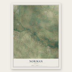
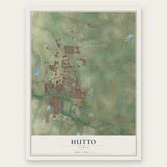
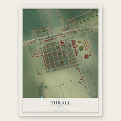
More maps nearby: Coupland, Granger, Cele, Weir and Pflugerville.
The art of mapping a place
How This Map Was Made
Real places. Remarkable detail. Discover the layers that turn geographic data into a map of home.

The view from above
Aerial imagery reveals the character of the land: woodland, open fields, and the patterns of a place.

The shape of the land
Elevation data brings hills, valleys, and subtle changes in the landscape into view.

The details of home
Roads, waterways, and building footprints come together to make the map feel unmistakably local.

Geography becomes art
Considered color, shading, and typography bring the layers together in a map made for your wall.


Process illustrated with Mendon, Massachusetts. Aerial imagery: USDA NAIP. Terrain: USGS 3D Elevation Program. Map details and finished artwork: KNOWOL.
The Details
About This Print
Choose an archival matte print, or a black or white Ayous wood frame. The archival matte print is unframed.
Select your size and finish above to see the matching product image and price.
Materials & Craftsmanship
A contemporary map with the character of a classic atlas, printed on archival matte paper. Optional frames are made from Ayous wood.
Your printed map does not include the watermark shown in the full-map preview.
Shipping & Delivery
Free shipping within the United States. Every print is made to order in the USA.
Buying a gift? Add a note in your cart and we'll include it. We never put prices in the package.
Prints ship within 2 to 3 business days. Allow 7 to 10 days total from ordering for delivery. Timing may vary during holidays or periods of high order volume.
Read our shipping policy.
Returns and damaged prints
Each print is made to order. Change-of-mind refunds are not available after production.
If your print arrives damaged, misprinted or incorrect, contact support@knowol.com within 30 days of receiving it. Include your order number, photos and a description of the issue.
Read our full refund and replacement policy. For questions about your order, email support@knowol.com.