
Search for another town
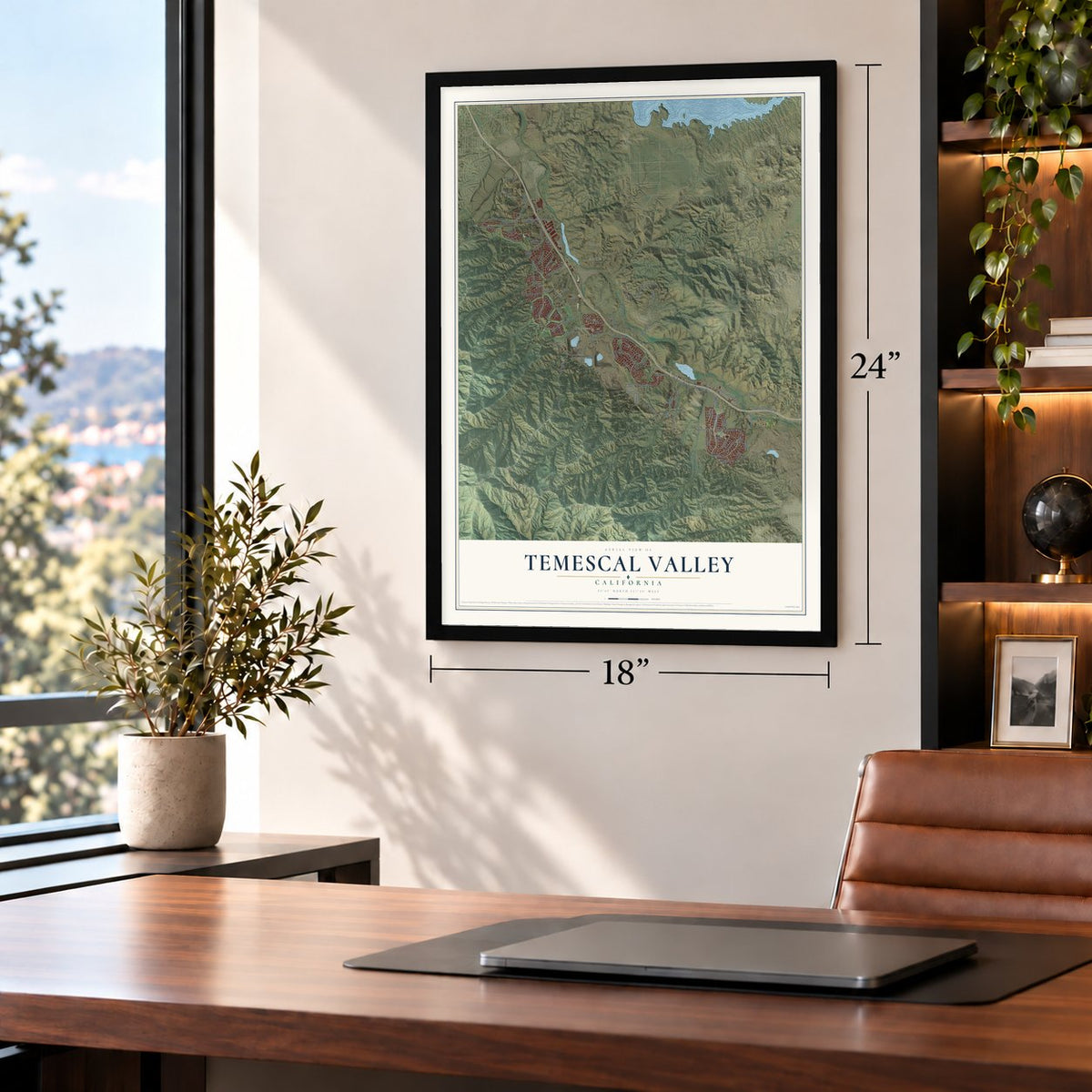
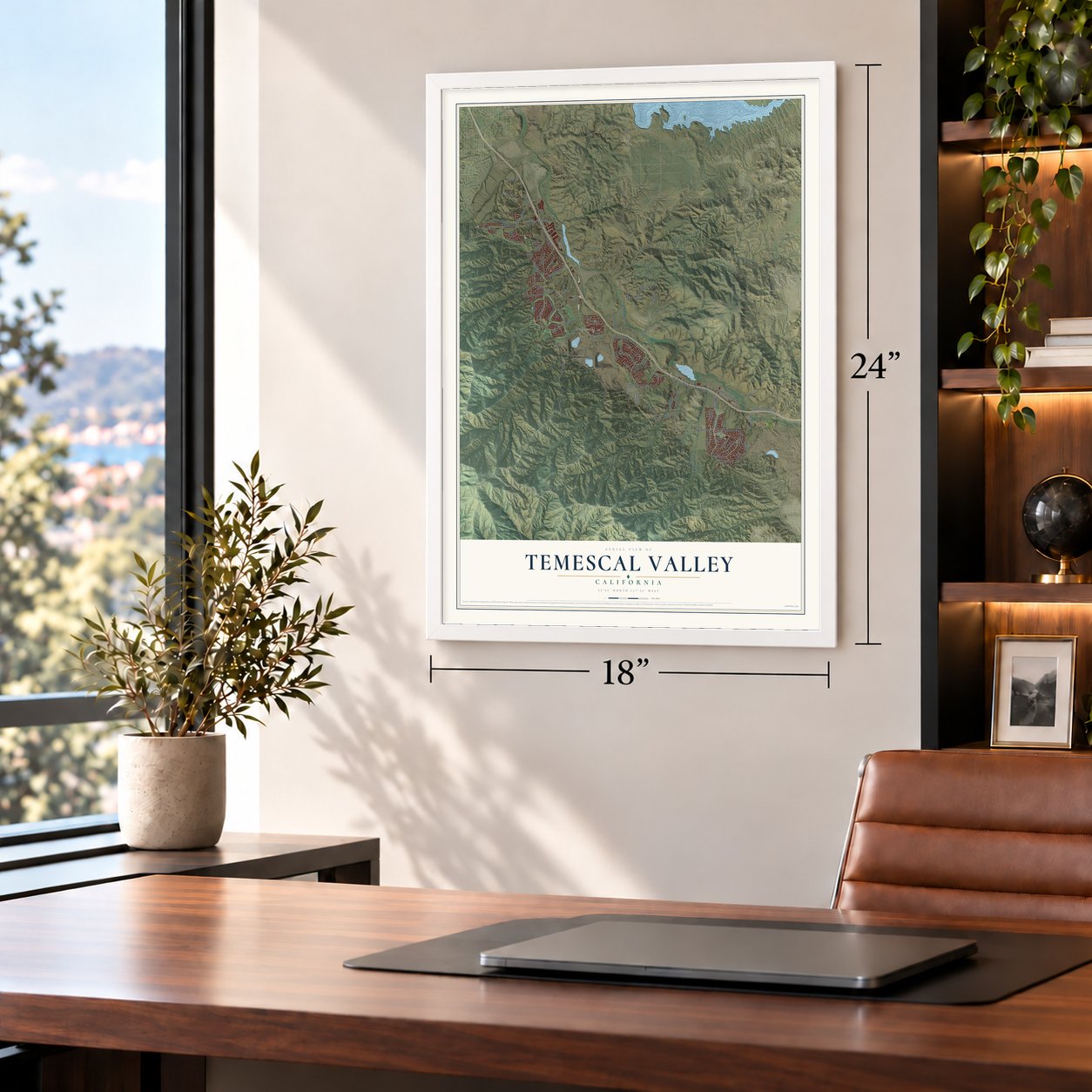
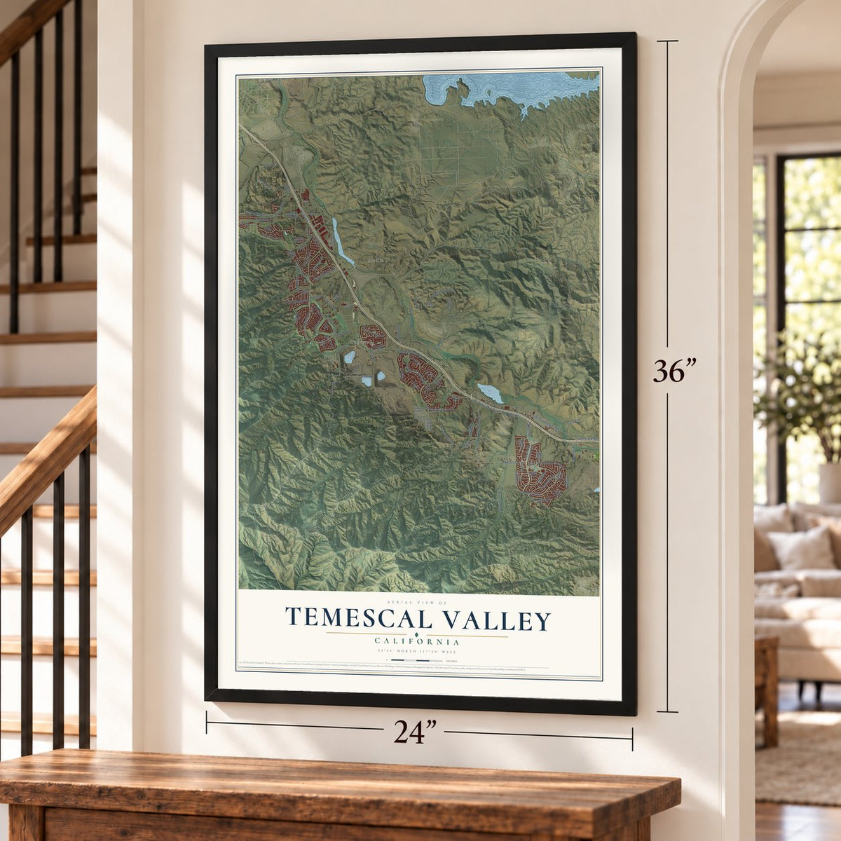
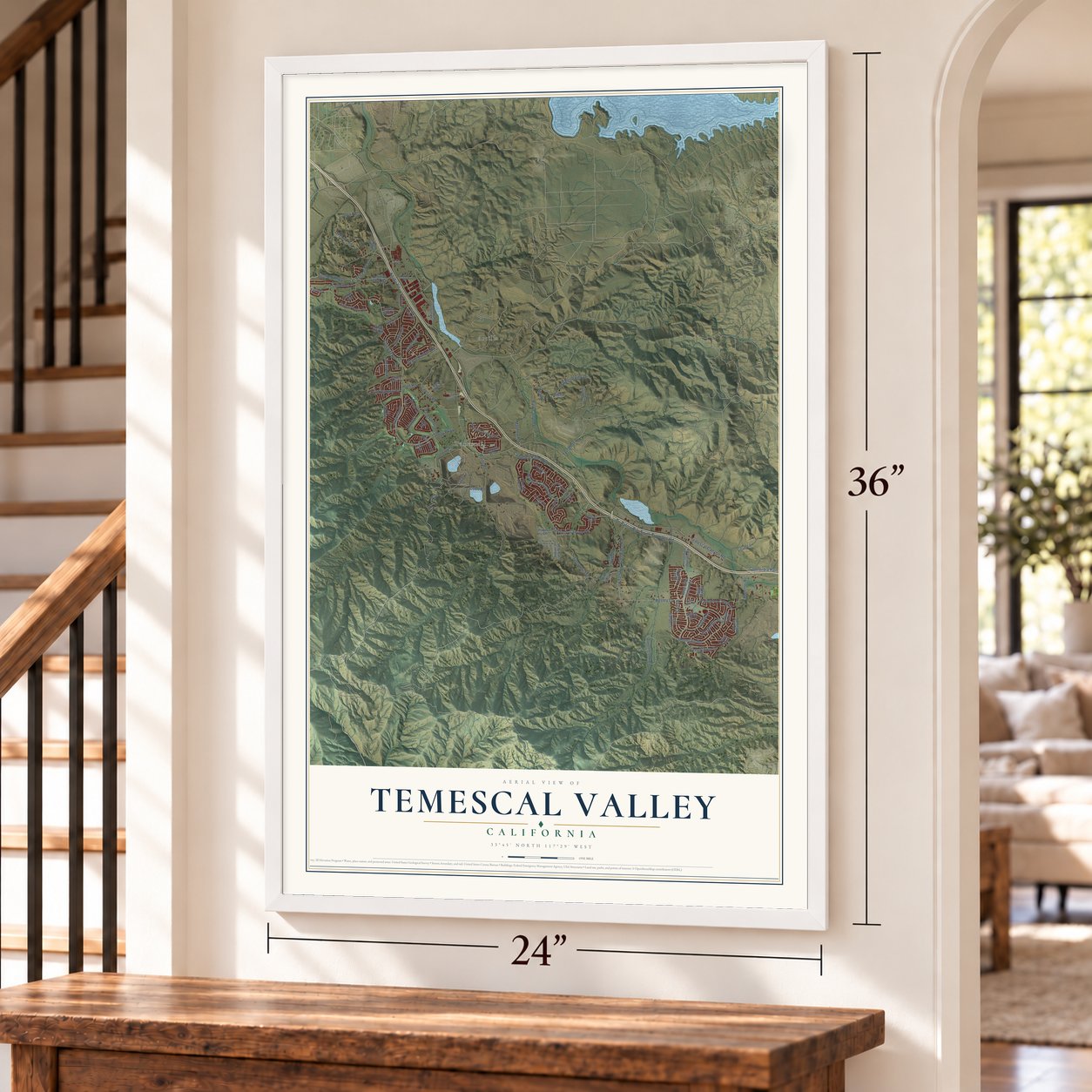
Free U.S. delivery 7 to 10 days after you order
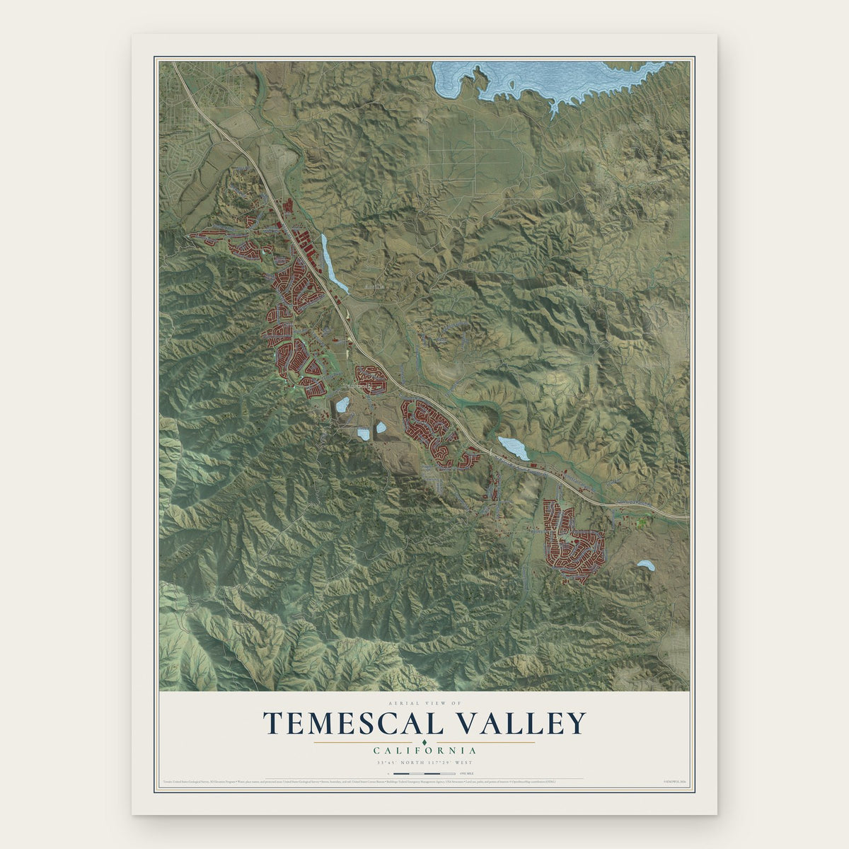
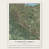
Temescal Valley, California Map Art
Building by building, with labeled streets and shaded relief.
12" x 18" Archival Matte Print
A Map of Home. A Work of Art.
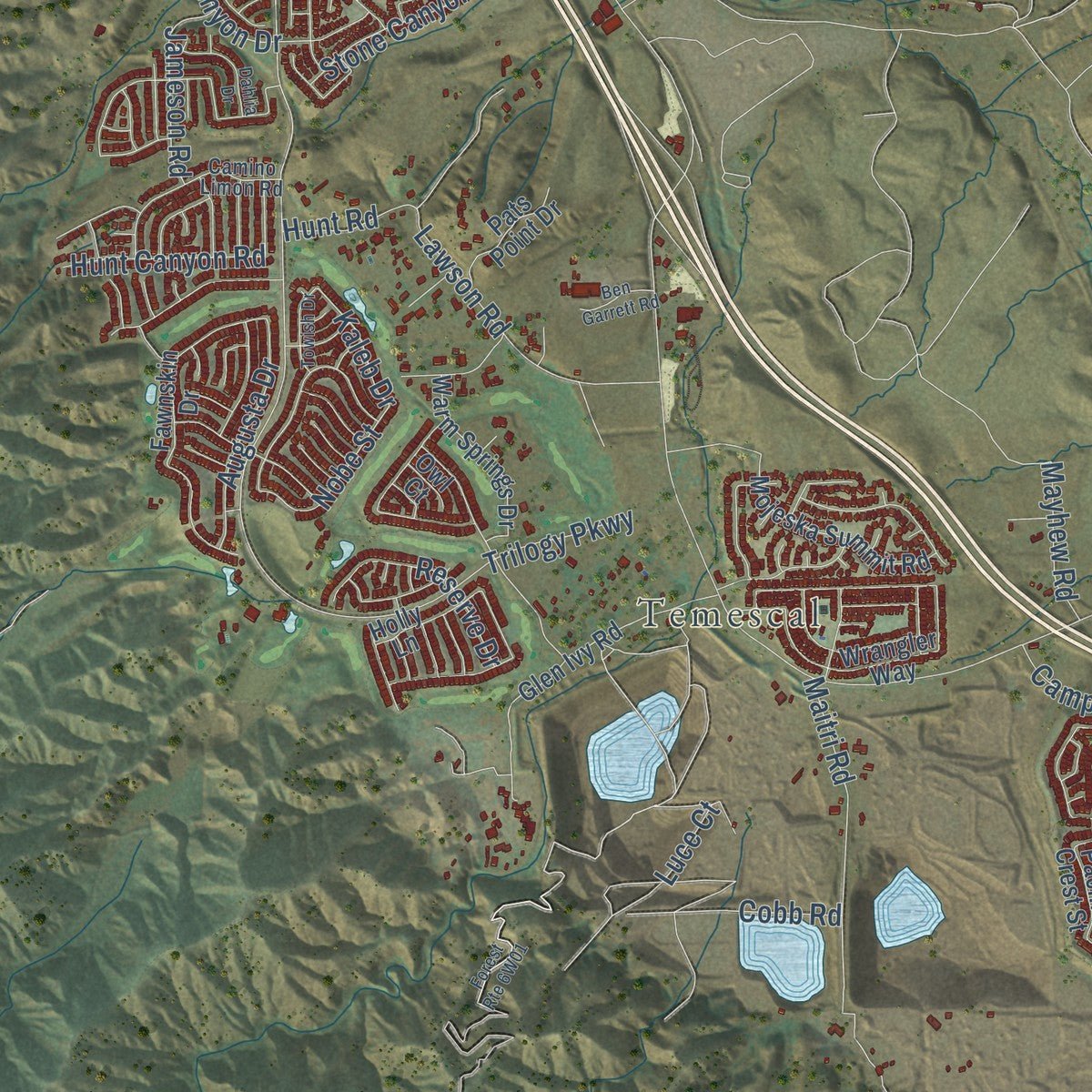
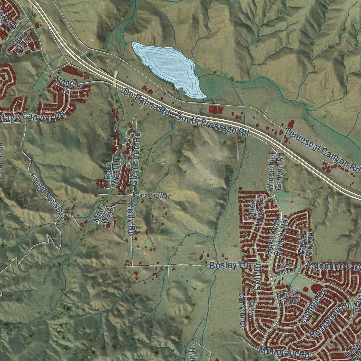
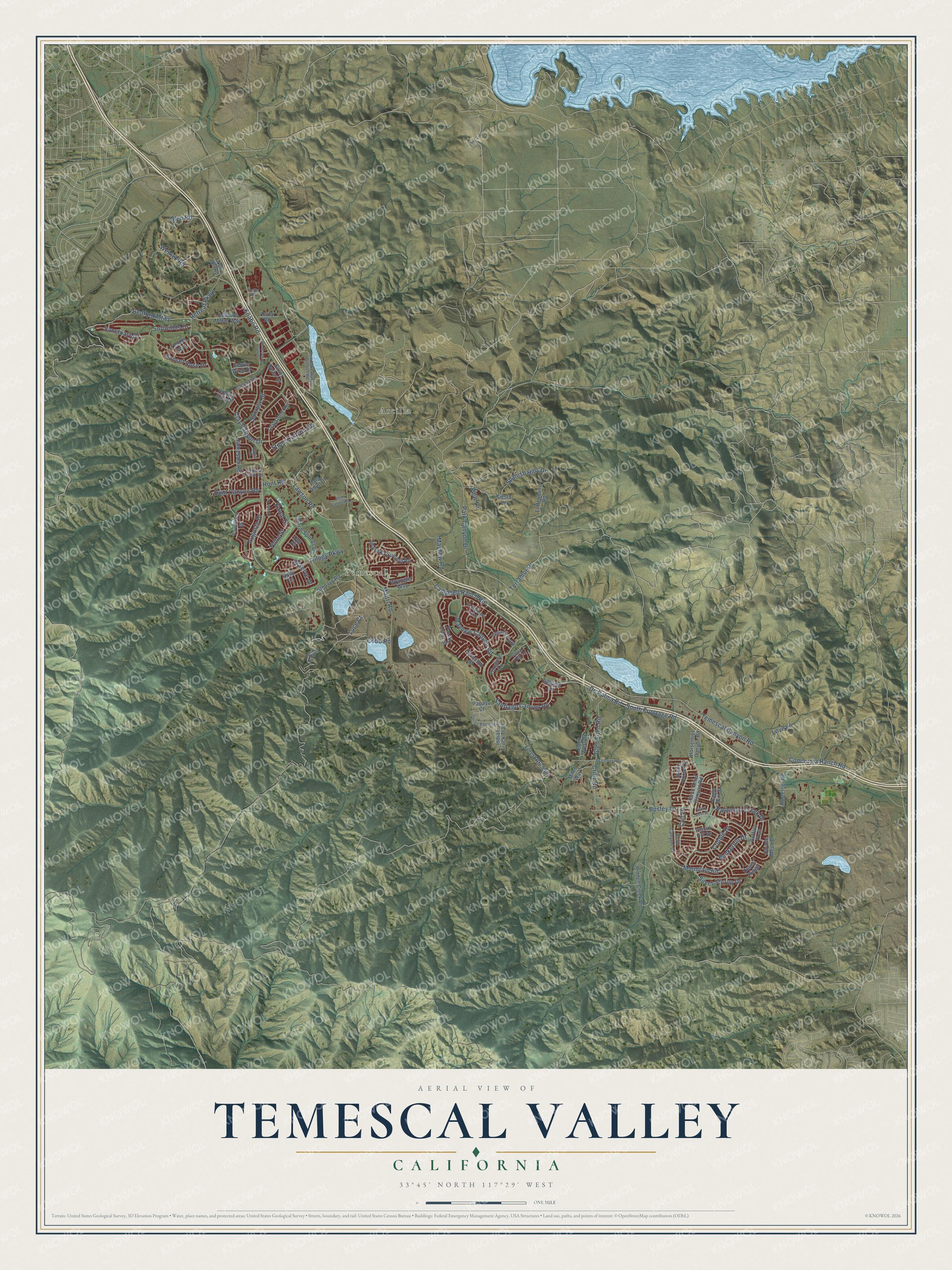
Explore Temescal Valley, California from a whole new perspective. Created using aerial imagery and detailed geographic data, this map captures Temescal Valley building by building, with labeled streets, familiar landmarks, and shaded topographical relief that highlights the natural contours of the landscape.
Combining modern data with the timeless character of a vintage atlas, this map is just as interesting up close as it is beautiful on the wall. Whether you grew up in Temescal Valley, spent memorable years there, or call it home today, this unique map is a great way to celebrate a place that means something to you. Zoom in on the preview to look for your street, and then order a print to put your memories on the wall.
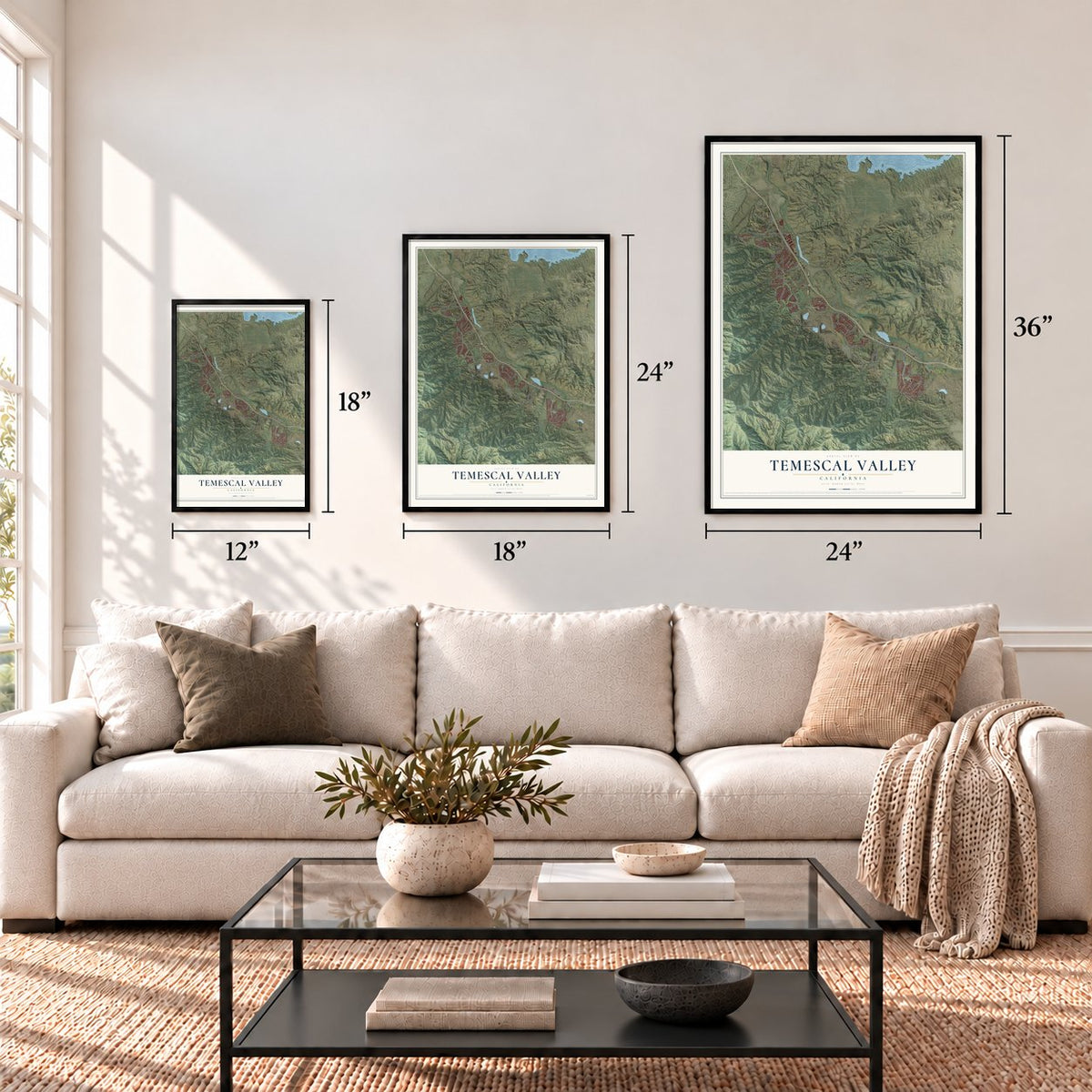
Three ways to hang it
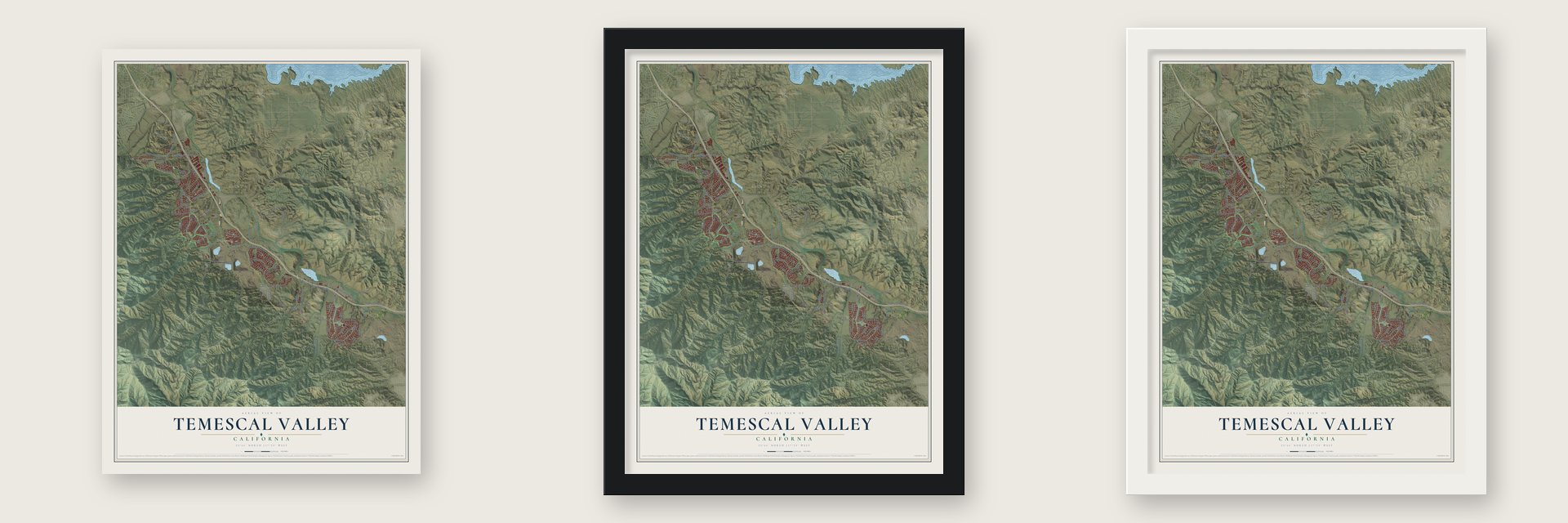
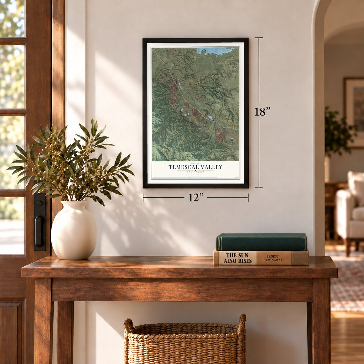
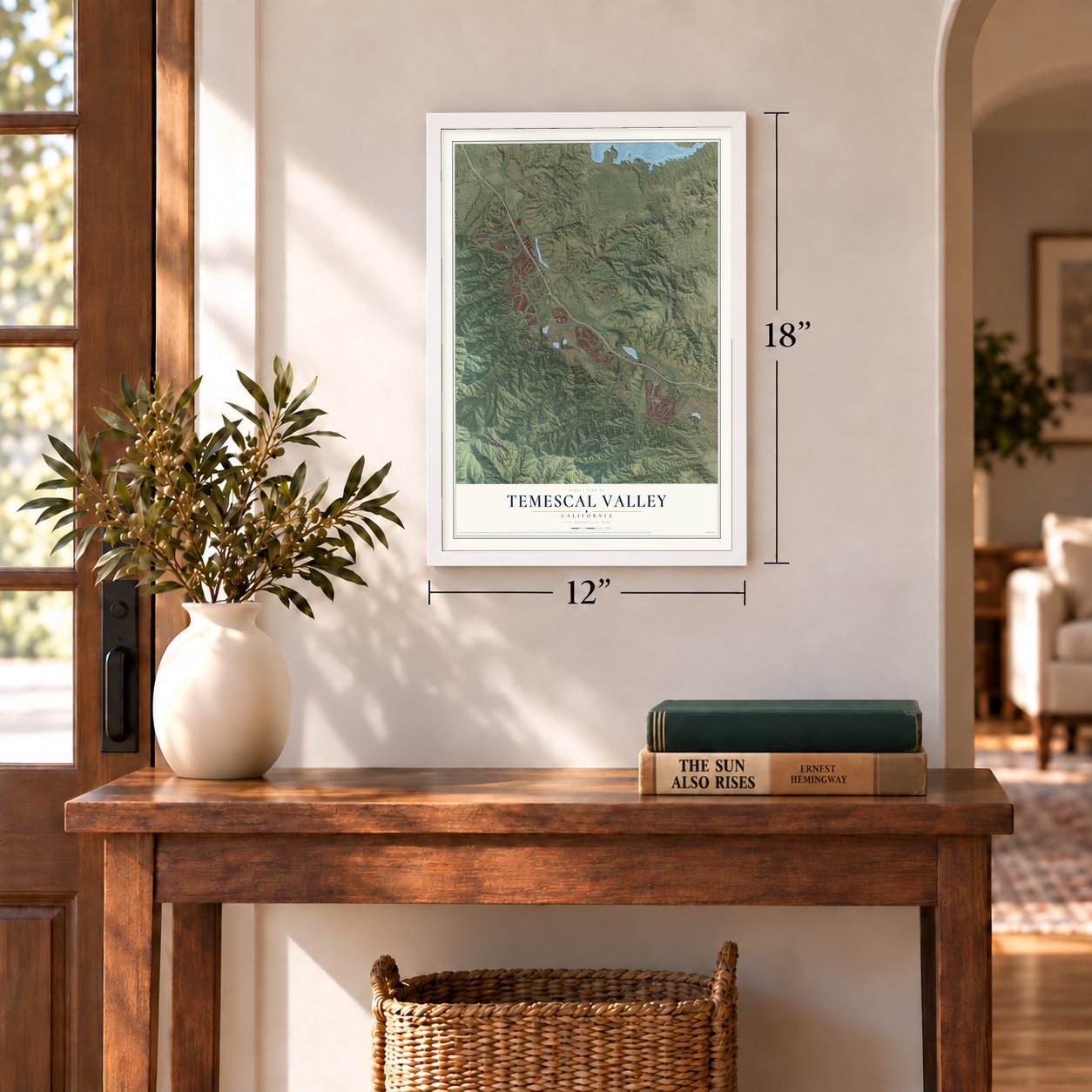
Unframed archival matte, a black wood frame or a white wood frame.
Up close
Geography Worth Displaying
This map was created using accurate cartographic data and authoritative geographic sources, including the U.S. Geological Survey and the Census Bureau. The map brings together terrain, waterways, roads, and building detail. The majority of the streets are labeled, houses are accurately depicted, and the topography is derived from government sources. Combining local data with carefully composed color and shading leads to this beautifully detailed Temescal Valley artwork for your wall.
Rather than simply showing street outlines, we’ve included as many of the street names as we could reasonably fit on the map while keeping their names legible. Zoom in on the high resolution preview to see exactly what’s on the map. We truly set out to create a statement piece for anyone who loves Temescal Valley. So whether it’s for you, or a gift for someone you love, we hope this map of Temescal Valley brings back fond memories.
Read the story behind this map of Temescal Valley, California from 2026.
Find your street
Names on the Temescal Valley map
Every name below is printed on this map. Look for your street, your school, the park where you played, or the pond down the road.
Places and landmarks2
- Arcilla
- Temescal
Streets and roads96
- Knabe Road
- Retreat Parkway
- Sunrose Street
- Kaleb Drive
- Temescal Canyon Road
- Weirick Road
- Bedford Mtwy
- Trilogy Parkway
- De Palma Road
- South Frontage Road
- Park Canyon Drive
- Maitri Road
- Mountain Road
- Santiago Canyon Road
- Mayhew Canyon Road
- Spanish Hills Drive
- Lawson Road
- Sanctuary Drive
- Colt Drive
- Bosley Lane
- Clay Canyon Drive
- Luce Court
- Campbell Ranch Road
- Concordia Ranch Road
- Glen Eden Road
- Love Lane
- Augusta Drive
- Reserve Drive
- Silver Stirrup Drive
- Palomino Creek Drive
Show all 96 streets
- Cobble Drive
- Stone Canyon Road
- Crilly Road
- Glen Road
- Cobb Road
- Bunkerhill Drive
- Jameson Road
- Softwinds Drive
- Hunt Canyon Road
- Sunset Rose Drive
- Nobe Street
- Terramor Drive
- Mayhew Road
- Hunt Road
- View Lane
- El Hermano Road
- Bedford Motor Way
- Horse Thief Canyon Road
- Horsethief Canyon Road
- Glen Ivy Road
- Hidden Creek Drive
- Warm Springs Drive
- Indian Truck Trail
- Fawnskin Drive
- Hostettler Road
- Wrangler Way
- Claystone Avenue
- Mojeska Summit Road
- Coyote Mesa Drive
- Eden West Drive
- Miles Way
- Echo Canyon Court
- Tesota Loop
- Black Horse Circle
- Pats Point Drive
- Foxglove Lane
- Rolling Hills Drive
- Silver Dollar Street
- Desert Ridge
- Buffalo Trail
- Hyacinth Street
- Holly Lane
- Pacific Crest Street
- Papaya Court
- Gentle Wind Drive
- Placid Hill Drive
- Bunting Circle
- Eagle Run Street
- Leroy Road
- Siesta Lane
- Tender Way
- Nob Hill Road
- Owl Court
- Lee Lake Water District Road
- Camino Limon Road
- Evergreen Loop
- Sugarcane Court
- Valley Oak Lane
- Guffey Ranch Way
- Dahlia Drive
- Beardsley Way
- Forest Boundary Road
- Towish Drive
- Black Deer Drive
- Ben Garrett Road
- Foster Road
Names are listed as they appear on the printed map. Zoom into the product photos to find them.
About Temescal Valley, California
Temescal Valley is a community of 26,232 people in Riverside County, and its name is the Spanish word for a sweat lodge. Many Indians lived on this mission land in 1818, when the priest of Mission San Luis Rey sent Leandro Serrano, mayordomo of Pala Chapel, here. Serrano took over Rancho Temescal, a grant of five square leagues, and built his first house about May 1824. The spot is marked today by the Serrano Boulder, which is California Historical Landmark #185.
Squatters moved onto the rancho in 1855 because they expected the Serrano family to lose its claim, and in 1866 the family did lose its title case in court. By then the Butterfield Overland Mail had opened a stage station here in 1857, and a settlement named Temescal slowly grew up around it.
“at the foot of the Temescal hills, a splendid place to camp, wood and water plenty, and protected from the winds.”
- Tin shipped to New YorkIn 1856 Abel Stearns, believing the rancho held tin, traded Serrano's widow 200 cattle for a share. Title fights stalled mining for decades until the Supreme Court settled them. On July 24, 1890, London investors formed the California Mining and Smelting Company, opened the Temescal Tin Mine and filled Temescal with miners. By July 1892 it yielded 136 tons. Its first tin reached New York on March 30, 1892, and was its last, since the mine closed that year.
- A school under a sycamoreThe Temescal School District, organized in 1866, was only the fifth in San Bernardino County. Its schoolhouse, shaded by a huge sycamore, stayed in use until 1889. In the 1870s, orchards and beehives began taking the place of cattle and sheep, and the bees became a key source of income in the valley.
- The water went to the colonyA citrus growers' group, the South Riverside Land and Water Company, bought the Rancho Temescal grant in May 1886. It laid out the colony of South Riverside and claimed the rights to the water of Temescal Creek and Lee Lake. The Temescal Water Company's wells, begun in 1889, first flowed unaided from 300 feet down. Pipelines took the creek water away, the valley went dry, and farms were left. By November 30, 1901, Temescal's post office was in Corona.
- Ten miles of fine clayA county history published in 1922 described a band of high-quality clay running ten miles along the Temescal Valley, from Elsinore in the southwest to past Corona.
Keep exploring California
Temescal Valley is one of 1,990 California towns we've mapped. Every dot on the map is a print of its own.
The search covers every state, California first.
Near Temescal Valley
Order 2 or more town maps and save 10%. Shown in the size and finish you picked above, so they hang as a set.
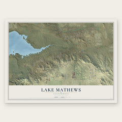
- Lake Mathews 12" x 18" / Archival Matte Print $39.99
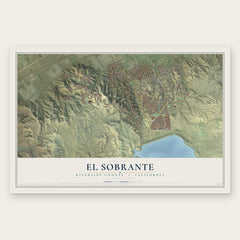
- El Sobrante 12" x 18" / Archival Matte Print $39.99
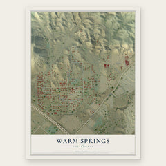
- Warm Springs 12" x 18" / Archival Matte Print $39.99
More maps nearby: Home Gardens, Lake Elsinore, Corona, Trabuco Canyon and Silverado.
The art of mapping a place
How This Map Was Made
Real places. Remarkable detail. Discover the layers that turn geographic data into a map of home.

The view from above
Aerial imagery reveals the character of the land: woodland, open fields, and the patterns of a place.

The shape of the land
Elevation data brings hills, valleys, and subtle changes in the landscape into view.

The details of home
Roads, waterways, and building footprints come together to make the map feel unmistakably local.

Geography becomes art
Considered color, shading, and typography bring the layers together in a map made for your wall.


Process illustrated with Mendon, Massachusetts. Aerial imagery: USDA NAIP. Terrain: USGS 3D Elevation Program. Map details and finished artwork: KNOWOL.
The Details
About This Print
Choose an archival matte print, or a black or white Ayous wood frame. The archival matte print is unframed.
Select your size and finish above to see the matching product image and price.
Materials & Craftsmanship
A contemporary map with the character of a classic atlas, printed on archival matte paper. Optional frames are made from Ayous wood.
Your printed map does not include the watermark shown in the full-map preview.
Shipping & Delivery
Free shipping within the United States. Every print is made to order in the USA.
Buying a gift? Add a note in your cart and we'll include it. We never put prices in the package.
Prints ship within 2 to 3 business days. Allow 7 to 10 days total from ordering for delivery. Timing may vary during holidays or periods of high order volume.
Read our shipping policy.
Returns and damaged prints
Each print is made to order. Change-of-mind refunds are not available after production.
If your print arrives damaged, misprinted or incorrect, contact support@knowol.com within 30 days of receiving it. Include your order number, photos and a description of the issue.
Read our full refund and replacement policy. For questions about your order, email support@knowol.com.