
Search for another town



Free U.S. delivery 7 to 10 days after you order
Lake Elsinore, California Map Art
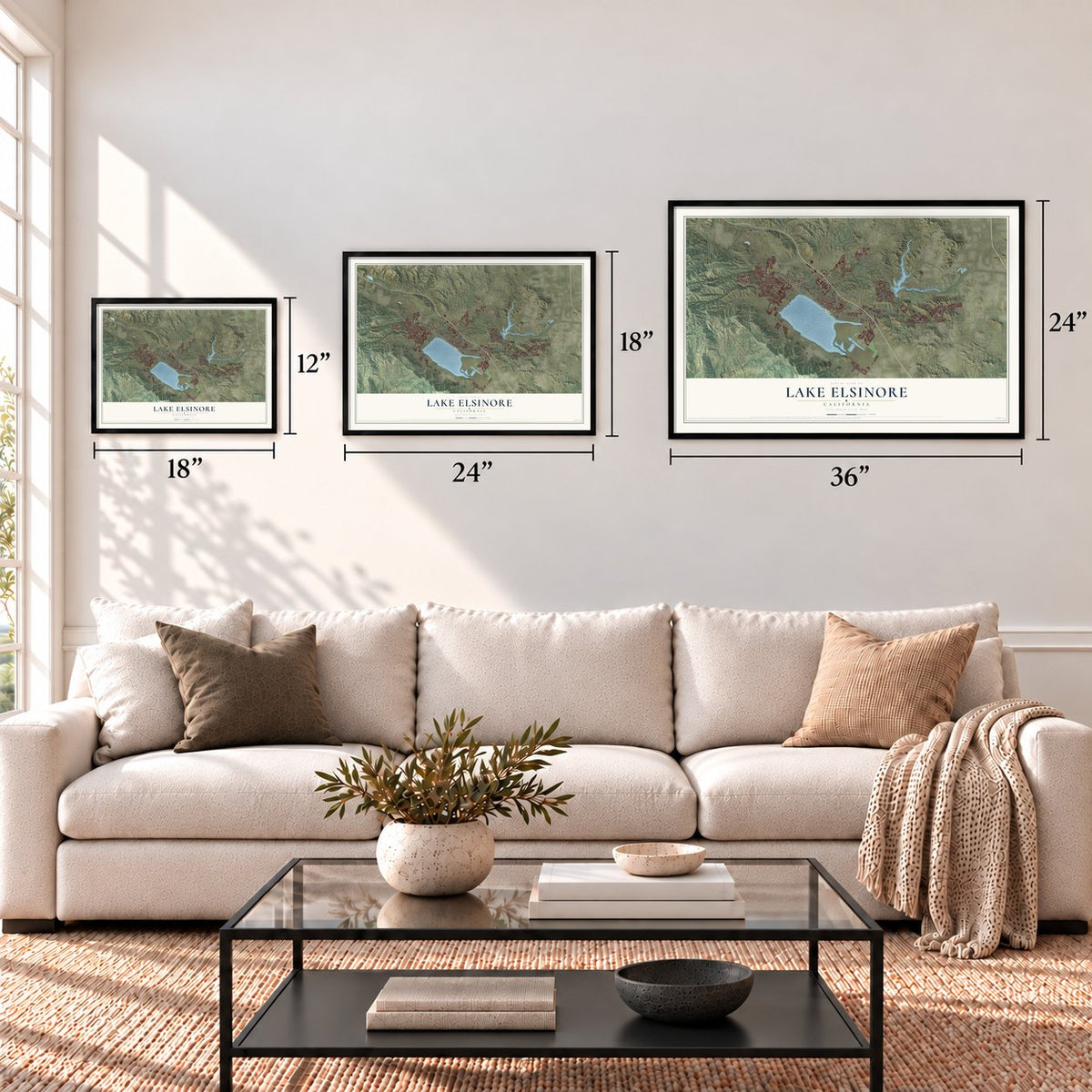
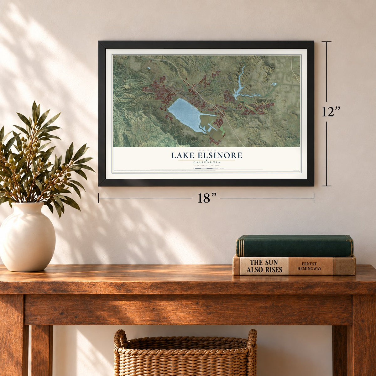
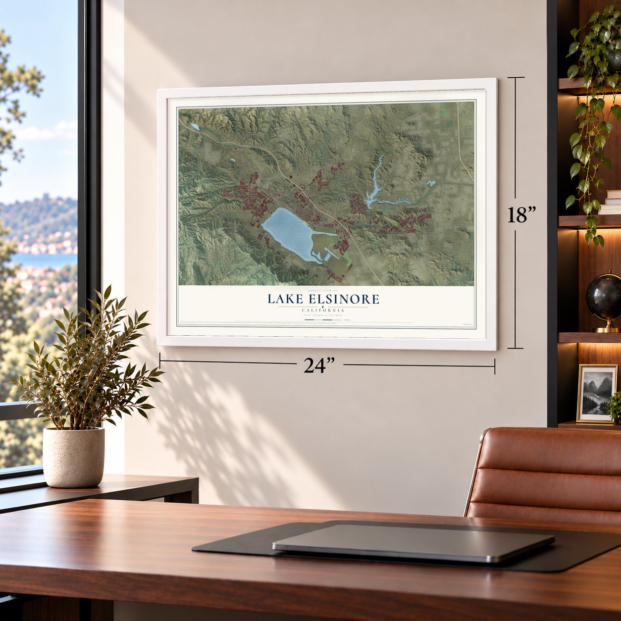
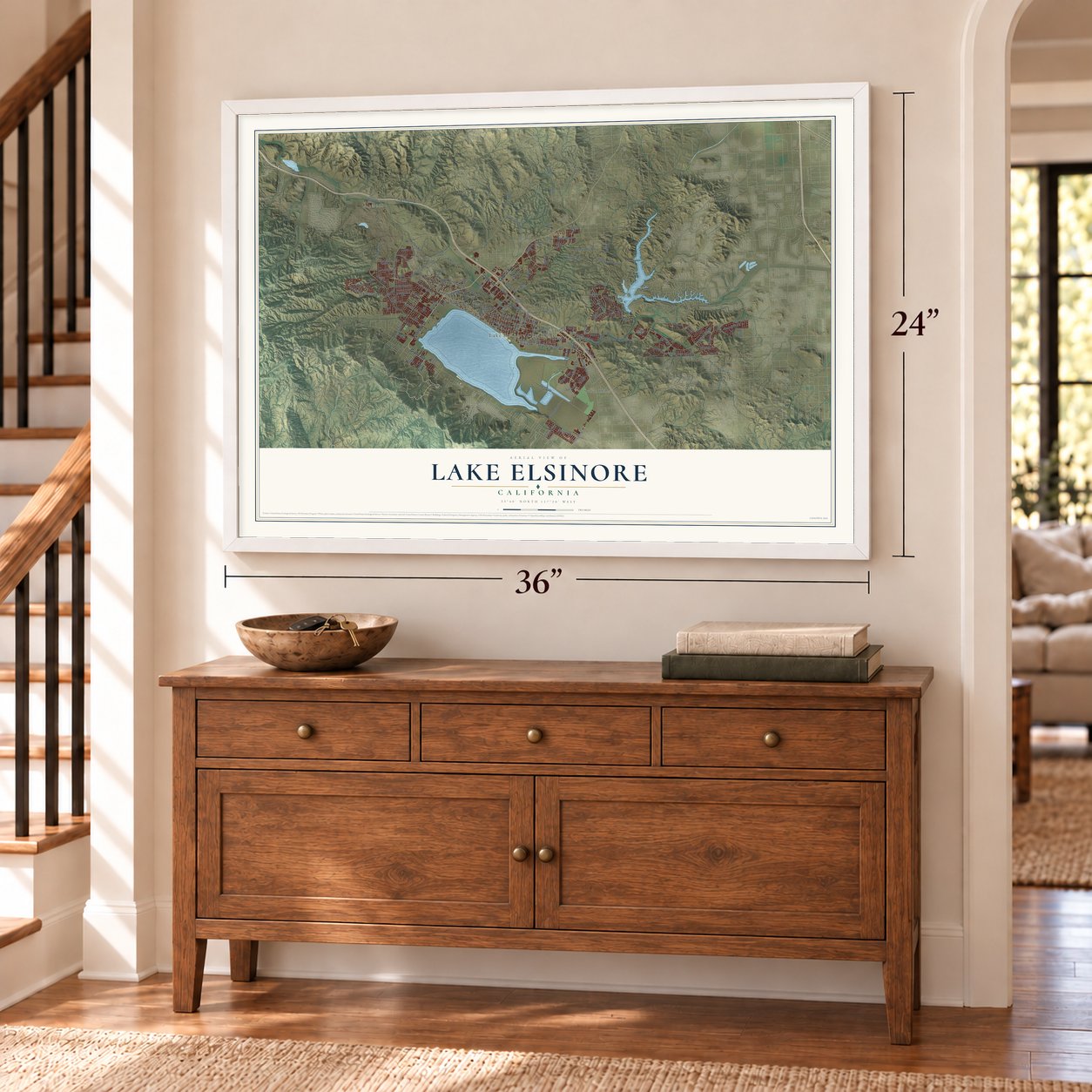
A new map of Lake Elsinore, California, made in 2026 and printed to order on thick archival matte paper.
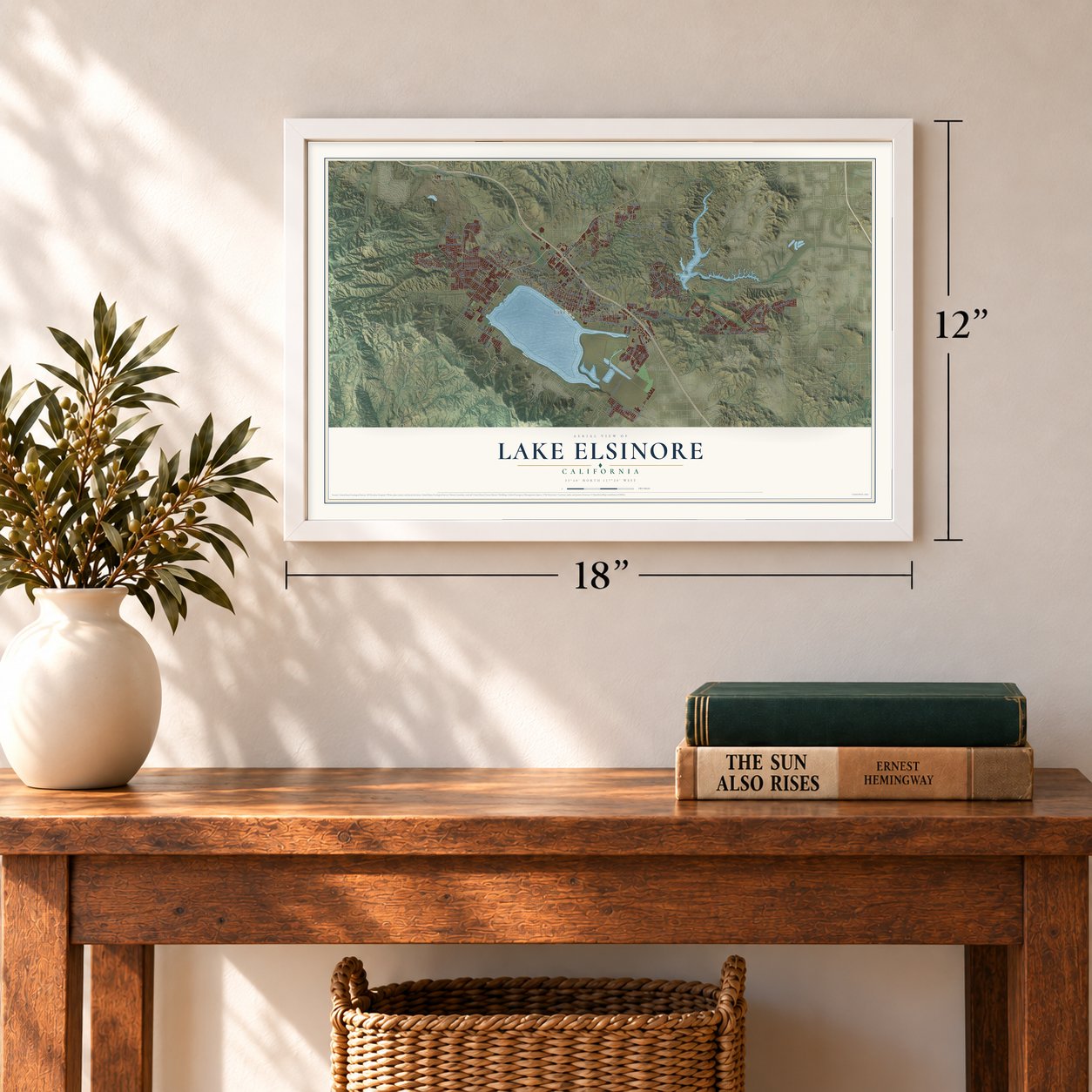
12" x 18" Archival Matte Print
A Map of Home. A Work of Art.
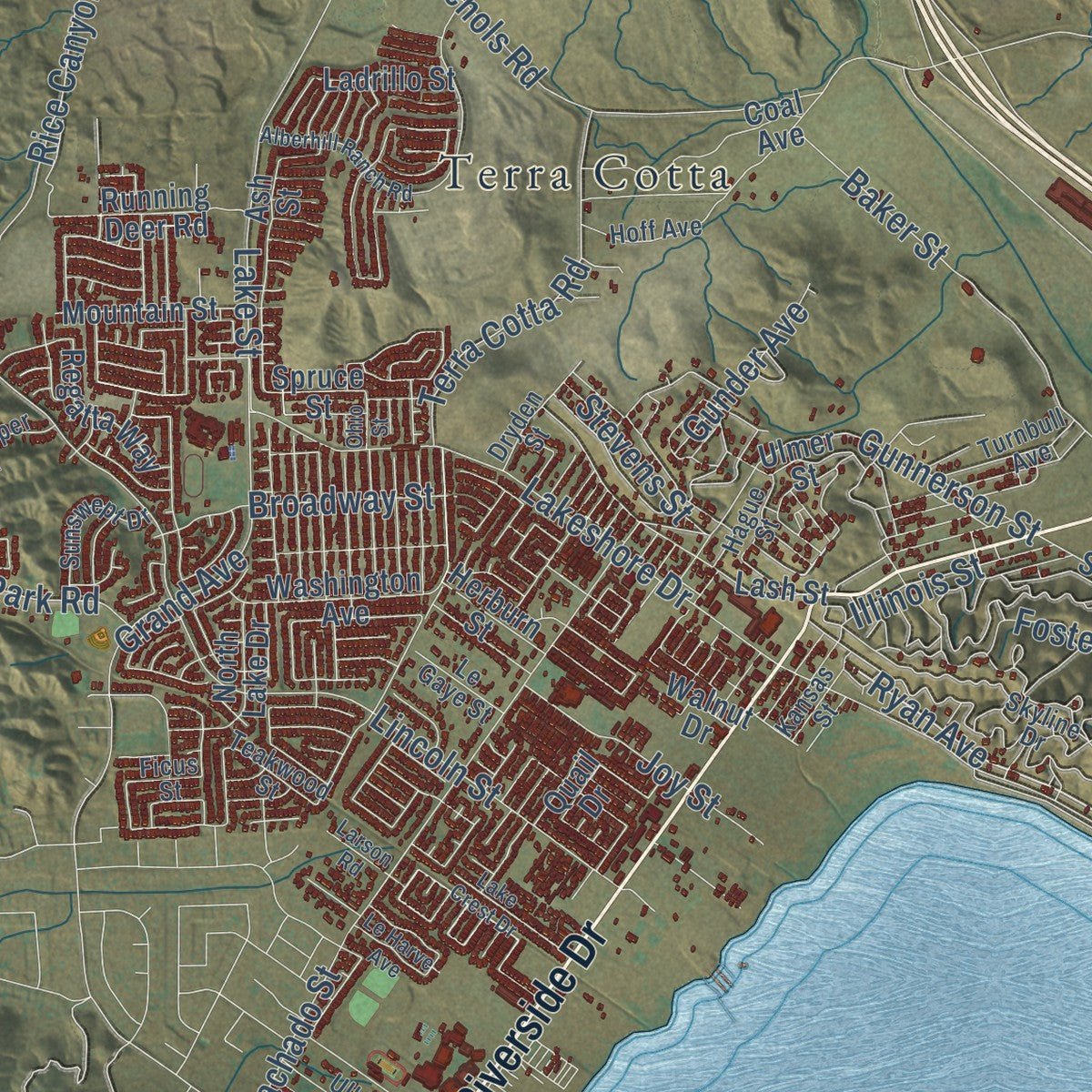
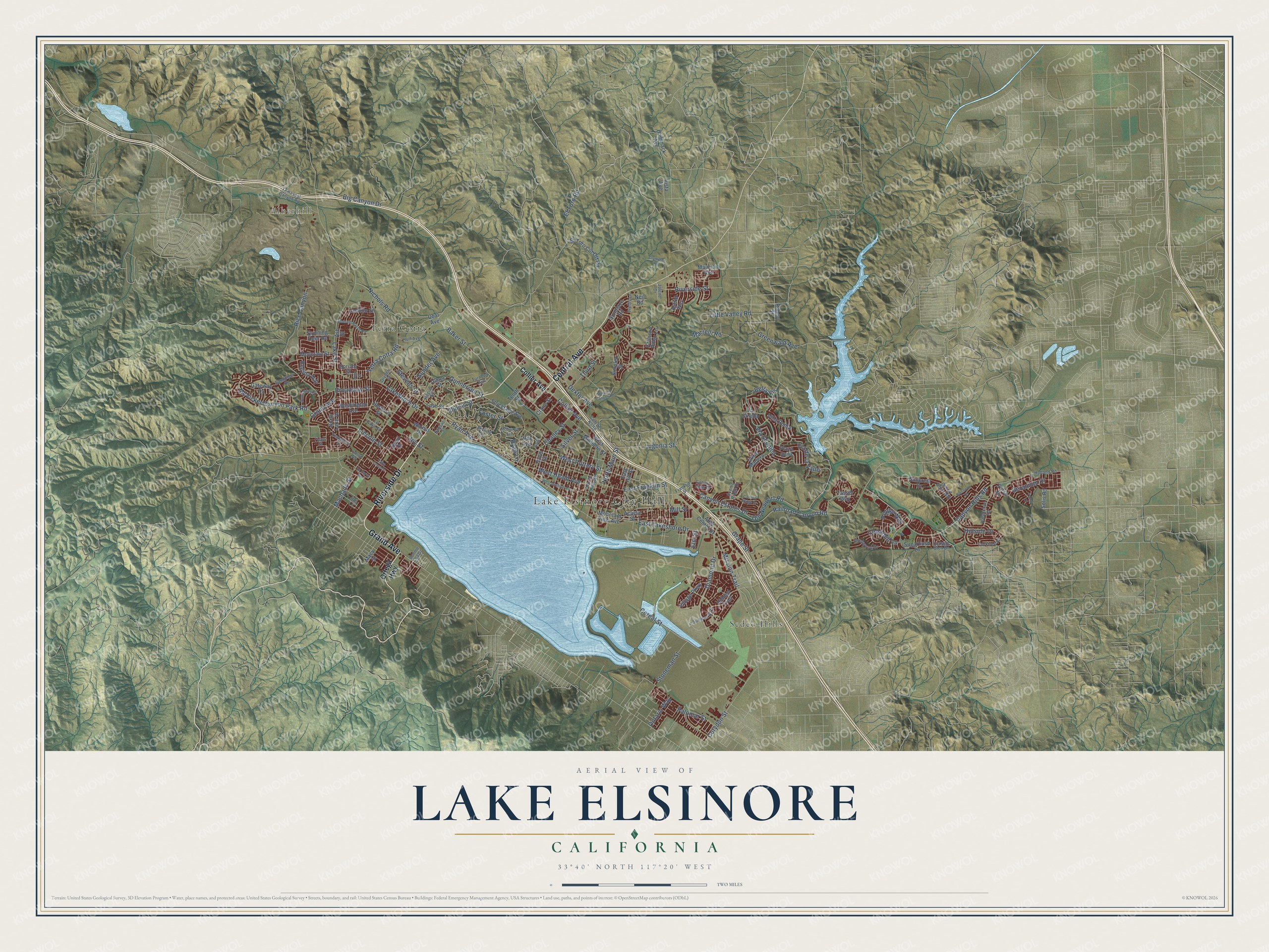
Explore Lake Elsinore, California from a whole new perspective. Created using aerial imagery and detailed geographic data, this map captures Lake Elsinore building by building, with labeled streets, familiar landmarks, and shaded topographical relief that highlights the natural contours of the landscape.
Combining modern data with the timeless character of a vintage atlas, this map is just as interesting up close as it is beautiful on the wall. Whether you grew up in Lake Elsinore, spent memorable years there, or call it home today, this unique map is a great way to celebrate a place that means something to you. Zoom in on the preview to look for your street, and then order a print to put your memories on the wall.
Three ways to hang it
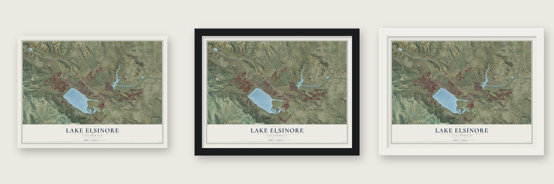
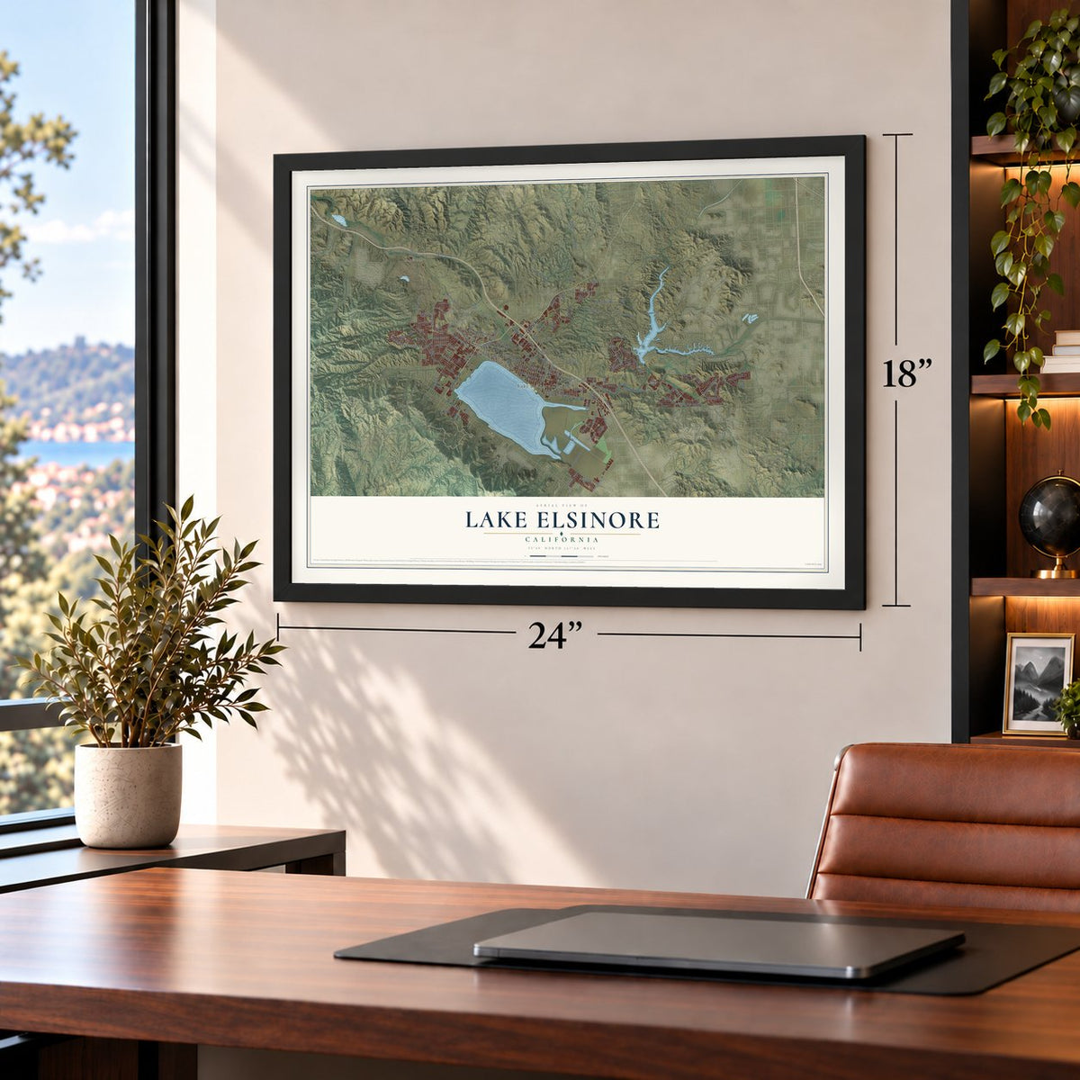
Unframed archival matte, a black wood frame or a white wood frame.
Up close
Geography Worth Displaying
This map was created using accurate cartographic data and authoritative geographic sources, including the U.S. Geological Survey and the Census Bureau. The map brings together terrain, waterways, roads, and building detail. The majority of the streets are labeled, houses are accurately depicted, and the topography is derived from government sources. Combining local data with carefully composed color and shading leads to this beautifully detailed Lake Elsinore artwork for your wall.
Rather than simply showing street outlines, we’ve included as many of the street names as we could reasonably fit on the map while keeping their names legible. Zoom in on the high resolution preview to see exactly what’s on the map. We truly set out to create a statement piece for anyone who loves Lake Elsinore. So whether it’s for you, or a gift for someone you love, we hope this map of Lake Elsinore brings back fond memories.
Read the story behind this map of Lake Elsinore, California from 2026.

About Lake Elsinore, California
Lake Elsinore is a city of 70,265 people in Riverside County, on the shore of the largest natural lake in Southern California. The Luiseño people lived here first. In 1797 a Spanish padre, Juan Santiago, saw the lake while exploring east from Mission San Juan Capistrano. In 1858 Augustin Machado bought Rancho La Laguna from Abel Stearns and raised a seven-room adobe house near the lake's southwest shore.
Franklin H. Heald and two partners, Donald Graham and William Collier, bought the rest of the rancho on October 5, 1883, to found a new town. The California Southern Railroad laid its line through the valley in 1884. Elsinore was incorporated on April 9, 1888, as the 73rd city in California. It sat in San Diego County at first and moved into Riverside County when that county was formed in 1893. In 1972 voters renamed the city Lake Elsinore.
“During the recent epidemic of Spanish influenza, which swept the country and the world, Elsinore escaped with but a few cases. Only three deaths were attributed to the disease.”
- Named for Hamlet's townThe founders named Elsinore after Helsingør, the Danish city where Shakespeare set Hamlet, and Helsingør is now its sister city. Another account traces the name to el señor, Spanish for "the gentleman," since a don had once owned the land.
- A Butterfield mail stopSoon after Machado bought the rancho, Butterfield Overland Mail coaches made it a regular stop, between Temecula 20 miles southeast and the Temescal station 10 miles northwest. The old Manriquez adobe served as the station house. From 1898 until September 30, 1902, it housed the post office of a settlement called Willard, and it stood until it was torn down in 1964. Three palm trees still mark the site on Macy Street.
- Mineral baths from 1887Mineral springs near the lake drew visitors looking for healing waters from the start. The Crescent Bath House, built in 1887 and now called The Chimes, still stands downtown and joined the National Register in 1975.
- California's first Black councilmanIn 1948 Elsinore voters elected Thomas R. Yarborough, the first Black city councilman in California. In 1966 he became one of three African American mayors elected in the state that year.
- Hollywood's lakeside escapeIn the first half of the 1900s, celebrities came here to get away from Hollywood. The evangelist Aimee Semple McPherson built a Moorish-style home known as Aimee's Castle, and Bela Lugosi, the star of Dracula, built a house in the Country Club Heights district. Both homes still stand.
Find your street
Names on the Lake Elsinore map
Every name below is printed on this map. Look for your street, your school, the park where you played, or the pond down the road.
Places and landmarks4
- Lake Elsinore City Hall
- Alberhill
- Sedco Hills
- Terra Cotta
Streets and roads148
- Riverside Drive
- Grand Avenue
- Central Avenue
- Ryan Avenue
- West Pottery Street
- Canyon Estates Drive
- Lakeshore Drive
- Lake Street
- Canyon Hills Road
- Collier Avenue
- Railroad Canyon Road
- Nichols Road
- Lincoln Street
- Mission Trail
- El Toro Road
- Machado Street
- Old Newport Road
- Cereal Street
- Hillside Drive
- Diamond Drive
- East Lakeshore Drive
- Terra Cotta Road
- McVicker Canyon Park Road
- Bella Vis
- Baker Street
- Corydon Street
- Third Street
- Broadway Street
- Gunnerson Street
- Big Canyon Drive
Show all 148 streets
- West Heald Avenue
- Greenwald Avenue
- Via de la Valle
- Dexter Avenue
- Rice Canyon
- Chaney Street
- East Franklin Street
- Riverside Street
- Illinois Street
- Mill Street
- Stoneman Street
- Marrelli Road
- Silver Street
- Joy Street
- Poppy Way
- Grape Street
- North Main Street
- Ryan Lane
- Via Scenica
- Geranium Drive
- Little Valley Road
- Cedarhill Lane
- Foster Street
- Palomar Street
- Gunder Avenue
- Stevens Street
- Lugonia Street
- Ontario Way
- Elm Street
- Ortega Highway
- Running Deer Road
- Solis Road
- Strickland Avenue
- Village Parkway
- Gateway Drive
- West Minthorn Street
- El Toro Cut Off Road
- Lash Street
- Auto Center Drive
- Ash Street
- Simplex Street
- Coal Avenue
- Davis Street
- Mountain Street
- Tenth Street
- Plaza Avila
- Regatta Way
- Macy Street
- Corte Madera
- Crimson Pillar Lane
- Washington Avenue
- North Lake Drive
- Sugarbush Lane
- Crane Street
- Hill Avenue
- Hidden Trail
- Mountain View Avenue
- Hammack Avenue
- Villa Roma
- Quail Drive
- Sunblaze Road
- Ulmer Street
- Pursh Drive
- Acacia Street
- Ladrillo Street
- Mauricio Avenue
- Astrid Way
- East Hill Street
- Herburn Street
- Suncrest Drive
- La Strada
- Walnut Drive
- Tassel Way
- Vista Avenue
- Spruce Street
- Robert Street
- Neil Road
- Canyon View Drive
- Skyline Drive
- Cam del Norte
- Summerly Place
- Temescal Canyon Road
- Desert Rose Way
- North Riley Street
- Sandpiper Drive
- Birchwood Drive
- Sunswept Drive
- Corktree Road
- Turnbull Avenue
- Holland Road
- Kalanchoe Road
- Dryden Street
- Hoff Avenue
- Franklin Street
- Teakwood Street
- Trellis Lane
- Ficus Street
- Le Gaye Street
- Scenic Ridge Drive
- Ulla Lane
- Kansas Street
- Cottage Glen Drive
- Hague Street
- Jolene Drive
- Bonnie Lea Drive
- Alberhill Ranch Road
- West Graham Avenue
- Wasson Canyon Road
- Canyon Ridge Drive
- McBurney Avenue
- Crumpton Road
- Blossoms Drive
- Tansy Court
- Lake Crest Drive
- Le Harve Avenue
- Larson Road
- Baum
- Ohio Street
Names are listed as they appear on the printed map. Zoom into the product photos to find them.
The art of mapping a place
How This Map Was Made
Real places. Remarkable detail. Discover the layers that turn geographic data into a map of home.

The view from above
Aerial imagery reveals the character of the land: woodland, open fields, and the patterns of a place.

The shape of the land
Elevation data brings hills, valleys, and subtle changes in the landscape into view.

The details of home
Roads, waterways, and building footprints come together to make the map feel unmistakably local.

Geography becomes art
Considered color, shading, and typography bring the layers together in a map made for your wall.


Process illustrated with Mendon, Massachusetts. Aerial imagery: USDA NAIP. Terrain: USGS 3D Elevation Program. Map details and finished artwork: KNOWOL.
The Details
About This Print
Choose an archival matte print, or a black or white Ayous wood frame. The archival matte print is unframed.
Select your size and finish above to see the matching product image and price.
Materials & Craftsmanship
A contemporary map with the character of a classic atlas, printed on archival matte paper. Optional frames are made from Ayous wood.
Your printed map does not include the watermark shown in the full-map preview.
Shipping & Delivery
Free shipping within the United States. Every print is made to order in the USA.
Buying a gift? Add a note in your cart and we'll include it. We never put prices in the package.
Prints ship within 2 to 3 business days. Allow 7 to 10 days total from ordering for delivery. Timing may vary during holidays or periods of high order volume.
Read our shipping policy.
Returns and damaged prints
Each print is made to order. Change-of-mind refunds are not available after production.
If your print arrives damaged, misprinted or incorrect, contact support@knowol.com within 30 days of receiving it. Include your order number, photos and a description of the issue.
Read our full refund and replacement policy. For questions about your order, email support@knowol.com.
Find your town
Looking for another city?
Find a map of home in our California collection, or any town in the country.
Nearby
Maps of towns near Lake Elsinore
Know someone from one of these towns? Their map makes a great gift.
 Warm Springs
, California
From $39.99See the map
 Lakeland Village
, California
From $39.99See the map
 Meadowbrook
, California
From $39.99See the map
More maps nearby: Canyon Lake, Wildomar, Good Hope, Menifee and Temescal Valley.