
Search for another town



Free U.S. delivery 7 to 10 days after you order
Wildomar, California Map Art
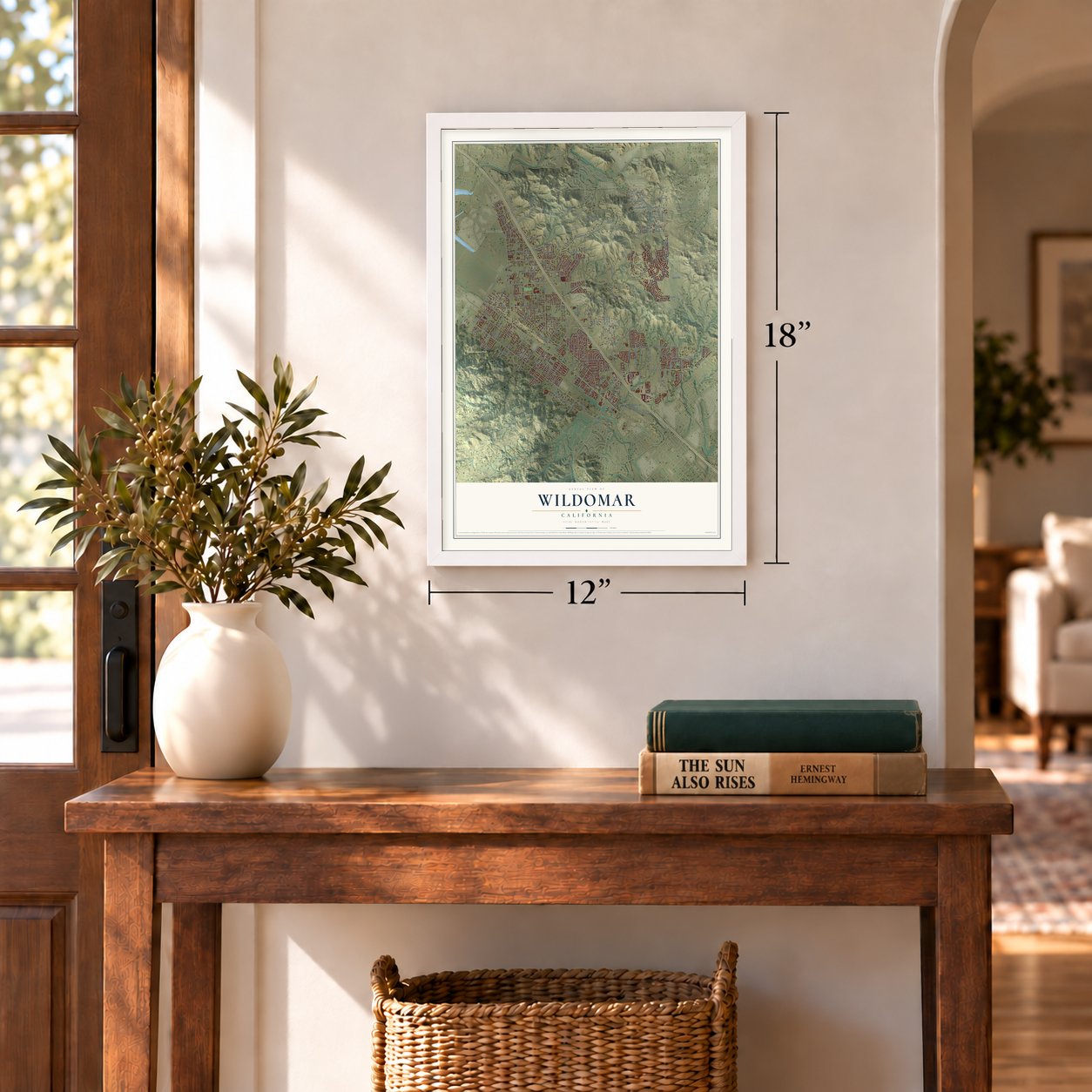
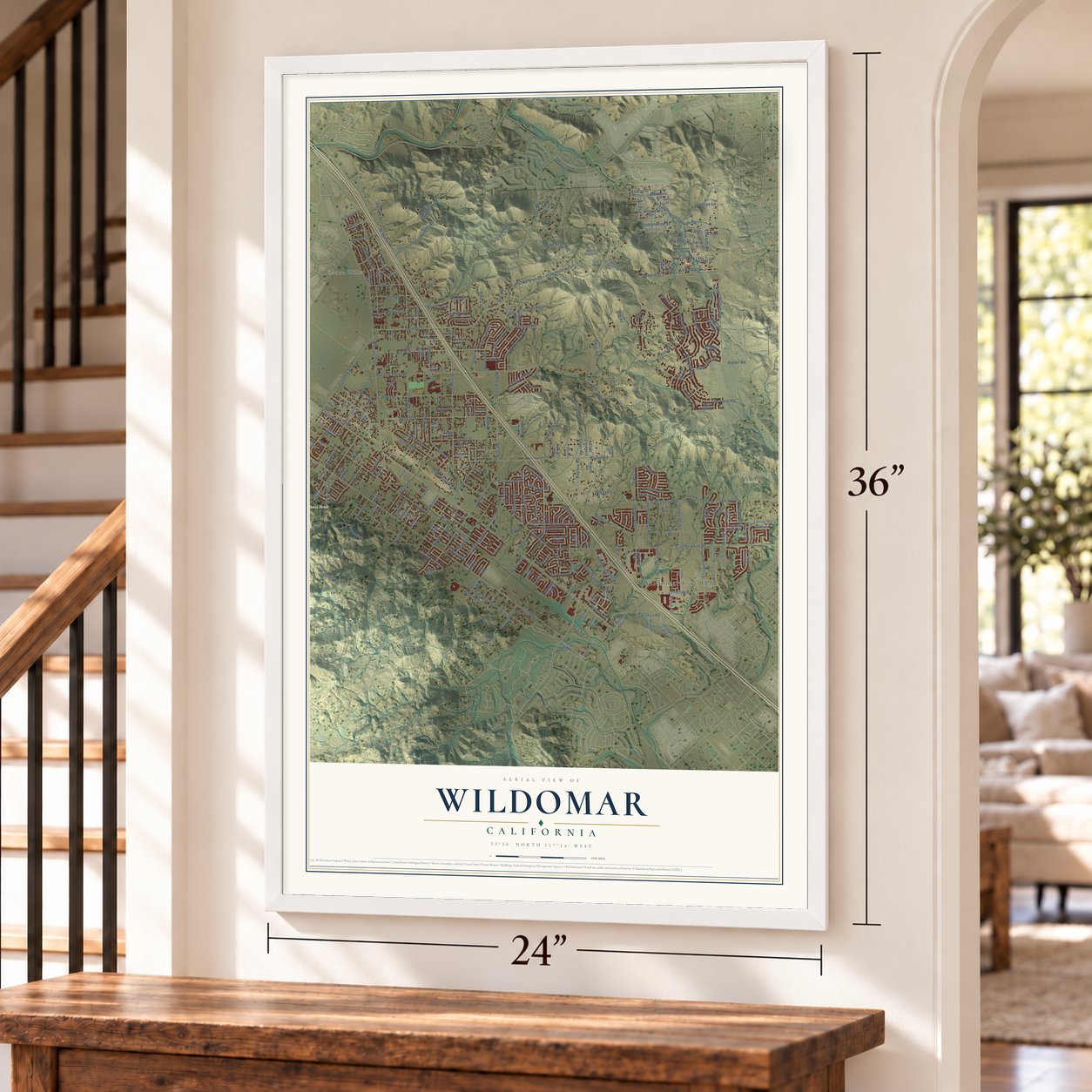
A new map of Wildomar, California, made in 2026 and printed to order on thick archival matte paper.
12" x 18" Archival Matte Print
A Map of Home. A Work of Art.
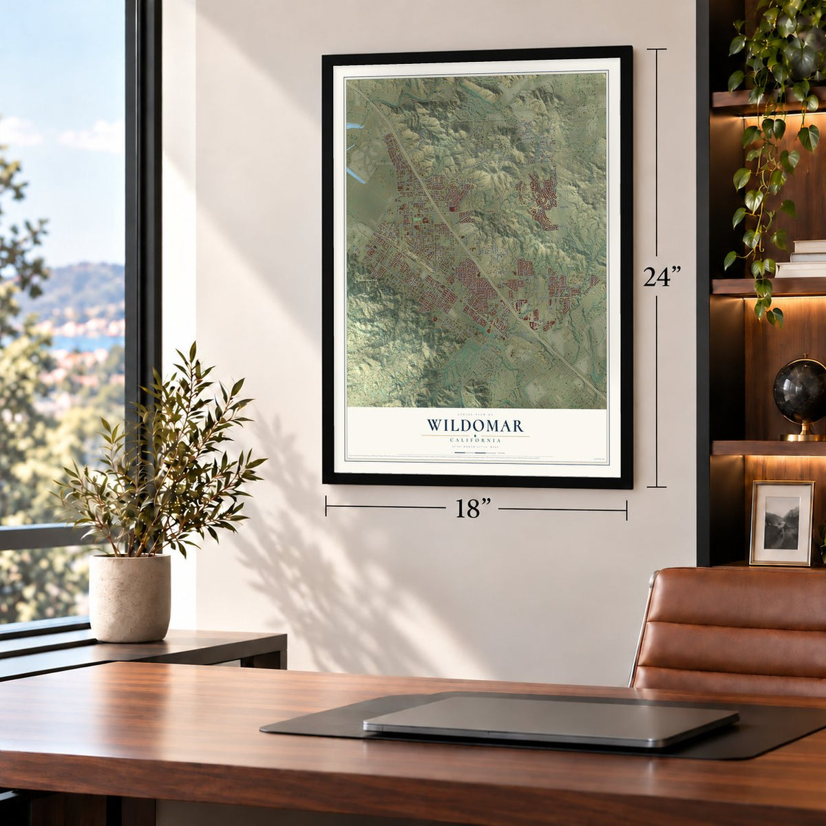
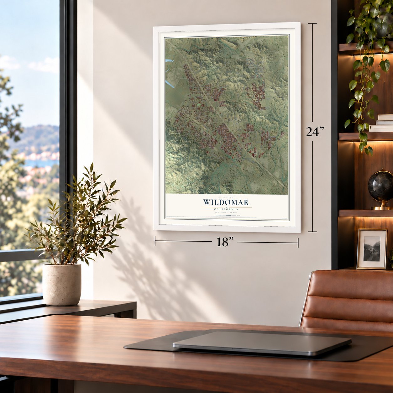
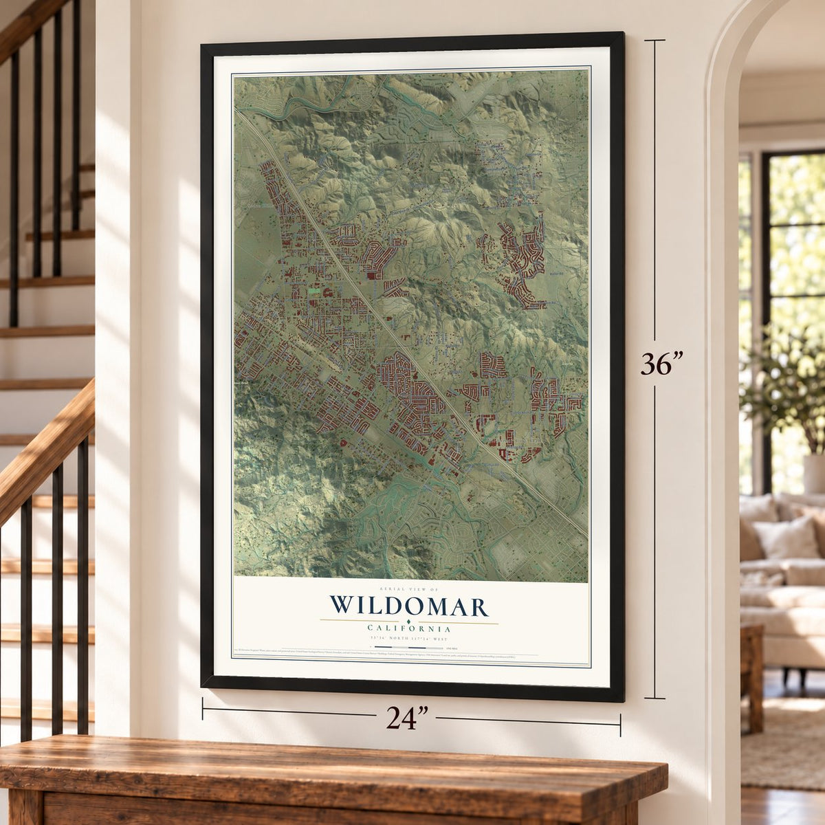
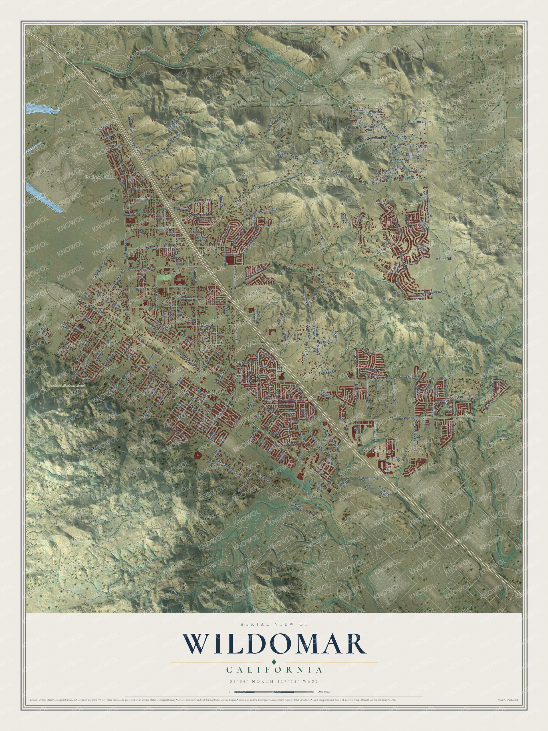
Explore Wildomar, California from a whole new perspective. Created using aerial imagery and detailed geographic data, this map captures Wildomar building by building, with labeled streets, familiar landmarks, and shaded topographical relief that highlights the natural contours of the landscape.
Combining modern data with the timeless character of a vintage atlas, this map is just as interesting up close as it is beautiful on the wall. Whether you grew up in Wildomar, spent memorable years there, or call it home today, this unique map is a great way to celebrate a place that means something to you. Zoom in on the preview to look for your street, and then order a print to put your memories on the wall.
Three ways to hang it
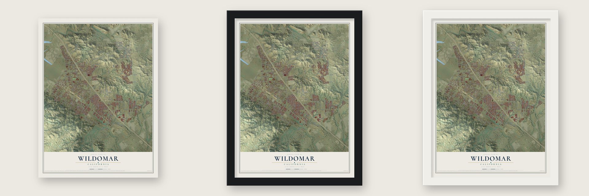
Unframed archival matte, a black wood frame or a white wood frame.
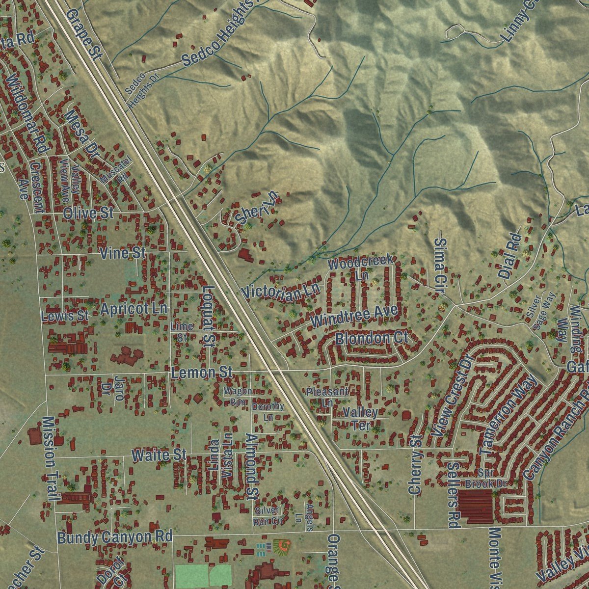
Up close
Geography Worth Displaying
This map was created using accurate cartographic data and authoritative geographic sources, including the U.S. Geological Survey and the Census Bureau. The map brings together terrain, waterways, roads, and building detail. The majority of the streets are labeled, houses are accurately depicted, and the topography is derived from government sources. Combining local data with carefully composed color and shading leads to this beautifully detailed Wildomar artwork for your wall.
Rather than simply showing street outlines, we’ve included as many of the street names as we could reasonably fit on the map while keeping their names legible. Zoom in on the high resolution preview to see exactly what’s on the map. We truly set out to create a statement piece for anyone who loves Wildomar. So whether it’s for you, or a gift for someone you love, we hope this map of Wildomar brings back fond memories.
Read the story behind this map of Wildomar, California from 2026.

About Wildomar, California
Wildomar began beside the California Southern Railroad in the 1880s, when a boxcar served as the settlement's first depot. Its name combines parts of William Collier, Donald Graham and Margaret Collier Graham, three people closely tied to the townsite. After residents voted to incorporate, Wildomar became Riverside County's 25th city in 2008.
- A three-part nameWildomar combines parts of the names William Collier, Donald Graham and Margaret Collier Graham.
- Boxcar depotA railroad boxcar called Car B served as the area's depot beginning in 1884.
- City since 2008Wildomar incorporated on July 1, 2008, becoming Riverside County's 25th city.
- 36,875 peopleThe 2020 census counted 36,875 residents.
- Honey countryWildomar was once an important center for honey production.
Find your street
Names on the Wildomar map
Every name below is printed on this map. Look for your street, your school, the park where you played, or the pond down the road.
Places and landmarks4
- Wildomar City Hall
- Sedco Hills
- Cleveland National Forest
- Iodine Springs Reserve
Streets and roads290
- Palomar Street
- Lost Road
- Lemon Street
- La Estrella Street
- Charles Street
- Momat Avenue
- Jan Avenue
- Keller Road
- Olive Street
- Frederick Street
- La Estrella Road
- Bundy Canyon Road
- Grand Avenue
- Clinton Keith Road
- Mission Trail
- Orange Street
- Bryant Street
- The Farm Road
- Sunset Avenue
- Baxter Road
- Corydon Street
- Crab Hollow Circle
- Union Street
- Grape Street
- Stage Road
- Alameda del Monte
- Almond Street
- Walnut Street
- Oak Circle Drive
- Orchard Street
Show all 290 streets
- Central Street
- Harvest Way
- Gruwell Street
- Monte Vista Drive
- Waite Street
- Cherry Street
- Crooked Arrow Drive
- Wesley Street
- Canyon Drive
- Como Street
- Wildomar Road
- Catt Road
- Oneal Road
- Cottonwood Canyon Road
- Elizabeth Lane
- Mesa Drive
- Gafford Road
- Linny Court
- Penrose Street
- Grove Street
- McVicar Street
- Cashew Street
- Hidden Springs Road
- South Pasadena Street
- Wyman Road
- Prielipp Road
- Loring Road
- Windmill Road
- Front Street
- View Crest Drive
- Elm Street
- Iodine Springs Road
- Canyon Ranch Road
- Victorian Lane
- Hemple Street
- Windtree Avenue
- Bethel Street
- Vine Street
- Arnett Road
- Jana Lane
- Fredrick
- Darby Street
- Salida del Sol
- George Avenue
- Edwards Road
- Walker Street
- Porras Road
- Leicester Street
- Peggy Lane
- Inland Valley Drive
- Mill Pond Drive
- Sheila Lane
- Cielo Vista Way
- Via Sarah
- Acacia Street
- Pecan Street
- Sellers Road
- White Street
- Carl Road
- Stable Lanes Road
- Beecher Street
- Lake View Drive
- Sedco Heights Road
- Wanki Avenue
- Loquat Street
- Hickory Lane
- Trillium Drive
- Maple Street
- Billie Ann Road
- Batson Lane
- Bayless Road
- Wheeler Street
- Brillante Drive
- Fir Street
- Tamerron Way
- Citrus Hill Road
- Osa Avenue
- Rosita Drive
- Twinflower Avenue
- Blondon Court
- Vis del Agua
- Cottonwood Street
- Senna Drive
- Valley Vista Circle
- Cervera Road
- Kevin Road
- Laguna Road
- Delca Lane
- Claremont Street
- Coral Rock Lane
- Elberta Road
- Beverly Street
- Arnold Lane
- Hixon Street
- Raciti Road
- David Lane
- Refa Street
- Prairie Road
- Raynor Lane
- Oaktree Lane
- Madora Drive
- Wilson Street
- Robert Street
- Ross Road
- Navut Avenue
- Sauer Road
- Apricot Lane
- Dial Road
- Sima Circle
- Sheri Lane
- Iris Lane
- Manzanita Road
- Pashal Place
- Cannery Road
- La Estrella
- Enderlein Street
- Harvest Way East
- Elsinore Heights Drive
- Country Park Drive
- Crescent Avenue
- Dunn Street
- Palm Avenue
- Olive Grove Road
- Woshka Lane
- Club Avenue
- Malaga Road
- Magnolia Road
- Wagon Train Drive
- Guffy Lane
- Ennis Street
- Butterchurn Road
- Woodcreek Lane
- Susan Drive
- Mustang Spirit Lane
- Highland Street
- Cll de Espanaza
- Greyhawk Road
- Leslie Street
- Country Park Road
- Jefferson Avenue
- Agape Lane
- Lexi Lane
- Dorof Court
- Winding Way
- Celeste Way
- Ridge Oak Road
- Sylvester Road
- Wing Elm Circle
- Villa del Sol
- Harrow Hill Road
- Crossroads Street
- Smith Ranch Road
- Fox Den Road
- Valley Terrace
- Chert Lane
- Banyan Rim Drive
- Barley Lane
- Richard Street
- Oak Springs Road
- Durango Court
- Butchart Street
- Bonnie Jean Drive
- Via Carnaghi
- Willow Bay Road
- Norgrove Place
- Dayton Avenue
- Jerome Lane
- Virgo Way
- Westpark Street
- Winkler Street
- Showut Avenue
- Trig Road
- Meadow Ridge Lane
- Maples Road
- Corazza Street
- Chadlyn Court
- Upton Drive
- Amado Lane
- Robin Scott Street
- Linda Vista Lane
- Western Way
- Split Rail Road
- Rancho Mirlo Road
- Lewis Street
- Verde Mesa Street
- Chico Hills Road
- Arya Road
- Autumn Oak Place
- Woods Lane
- Ione Lane
- Mayes Lane
- Boggs Lane
- Haven Way
- Ricks Drive
- Owen Lane
- Jaro Drive
- Tree Lane
- Pitt Way
- Trail Ride Lane
- Kagel Street
- Jennifer Drive
- Coyote Lane
- Teil Glen Drive
- Yucca Street
- Crest Meadow Drive
- Valley View Avenue
- Yamas Drive
- Verde Vista Way
- Sweet Nectar Court
- Homestead Lane
- Lime Street
- Marsh Lane
- Aster Drive
- Spr Brook Drive
- Temet Street
- Covington Drive
- Miguel Road
- Killarney Lane
- Corduroy Road
- Wilson Reade Court
- Pleasant Lane
- Chloe Court
- Tranquil Lane
- Jennifer Lane
- Mayhall Drive
- Osprey Court
- Hallie Street
- Webb Drive
- Bilton Way
- Cathy Lane
- Klotz Lane
- Avry Way
- Illinois Street
- Hidden Hollow Drive
- Windwood Lane
- Seagrass Trail
- Pasadena Street
- Navajo Springs Road
- Ruth Avenue
- Chesterfield Lane
- Windsong Lane
- Sedco Heights Drive
- Rhinehart Street
- Artemis Circle
- Silver Sage Way
- Bunny Trail
- Silver Run Circle
- Cloud Burst Road
- Muscatel Road
- Hunters Run Court
- Wagon Rim
- Dorothy Lane
- Fryback Lane
- Griffith Lane
- Silver Spur Lane
- Lorena Lane
- Angels Lane
- Rock Elm Drive
- Shay Lane
- Cash Lane
Names are listed as they appear on the printed map. Zoom into the product photos to find them.
The art of mapping a place
How This Map Was Made
Real places. Remarkable detail. Discover the layers that turn geographic data into a map of home.

The view from above
Aerial imagery reveals the character of the land: woodland, open fields, and the patterns of a place.

The shape of the land
Elevation data brings hills, valleys, and subtle changes in the landscape into view.

The details of home
Roads, waterways, and building footprints come together to make the map feel unmistakably local.

Geography becomes art
Considered color, shading, and typography bring the layers together in a map made for your wall.


Process illustrated with Mendon, Massachusetts. Aerial imagery: USDA NAIP. Terrain: USGS 3D Elevation Program. Map details and finished artwork: KNOWOL.
The Details
About This Print
Choose an archival matte print, or a black or white Ayous wood frame. The archival matte print is unframed.
Select your size and finish above to see the matching product image and price.
Materials & Craftsmanship
A contemporary map with the character of a classic atlas, printed on archival matte paper. Optional frames are made from Ayous wood.
Your printed map does not include the watermark shown in the full-map preview.
Shipping & Delivery
Free shipping within the United States. Every print is made to order in the USA.
Buying a gift? Add a note in your cart and we'll include it. We never put prices in the package.
Prints ship within 2 to 3 business days. Allow 7 to 10 days total from ordering for delivery. Timing may vary during holidays or periods of high order volume.
Read our shipping policy.
Returns and damaged prints
Each print is made to order. Change-of-mind refunds are not available after production.
If your print arrives damaged, misprinted or incorrect, contact support@knowol.com within 30 days of receiving it. Include your order number, photos and a description of the issue.
Read our full refund and replacement policy. For questions about your order, email support@knowol.com.
Find your town
Looking for another city?
Find a map of home in our California collection, or any town in the country.
Nearby
Maps of towns near Wildomar
Know someone from one of these towns? Their map makes a great gift.
 Canyon Lake
, California
From $39.99See the map
 Murrieta
, California
From $39.99See the map
 Lake Elsinore
, California
From $39.99See the map
More maps nearby: Menifee, Lakeland Village, Warm Springs, Meadowbrook and French Valley.