
Search for another town

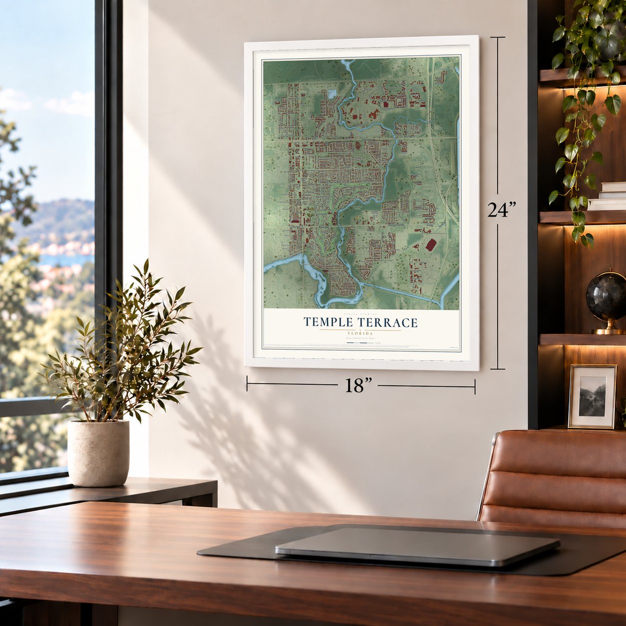
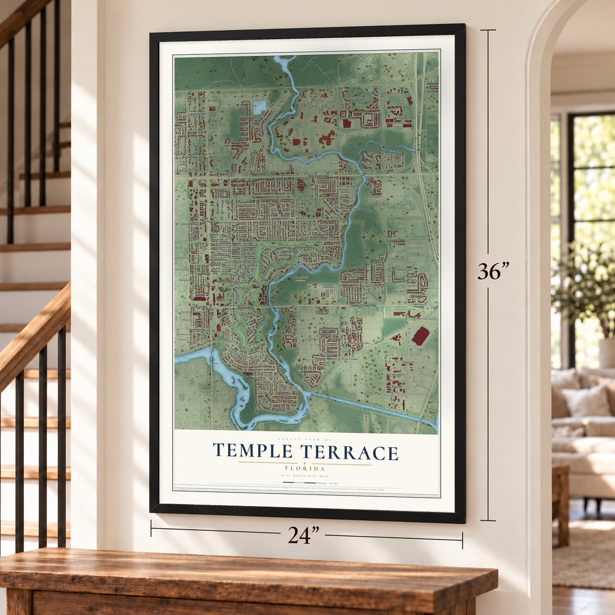
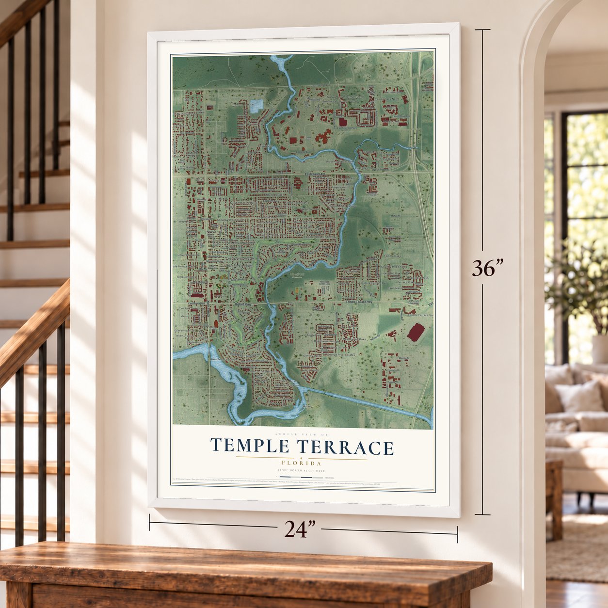
Free U.S. delivery 7 to 10 days after you order
Temple Terrace, Florida Map Art
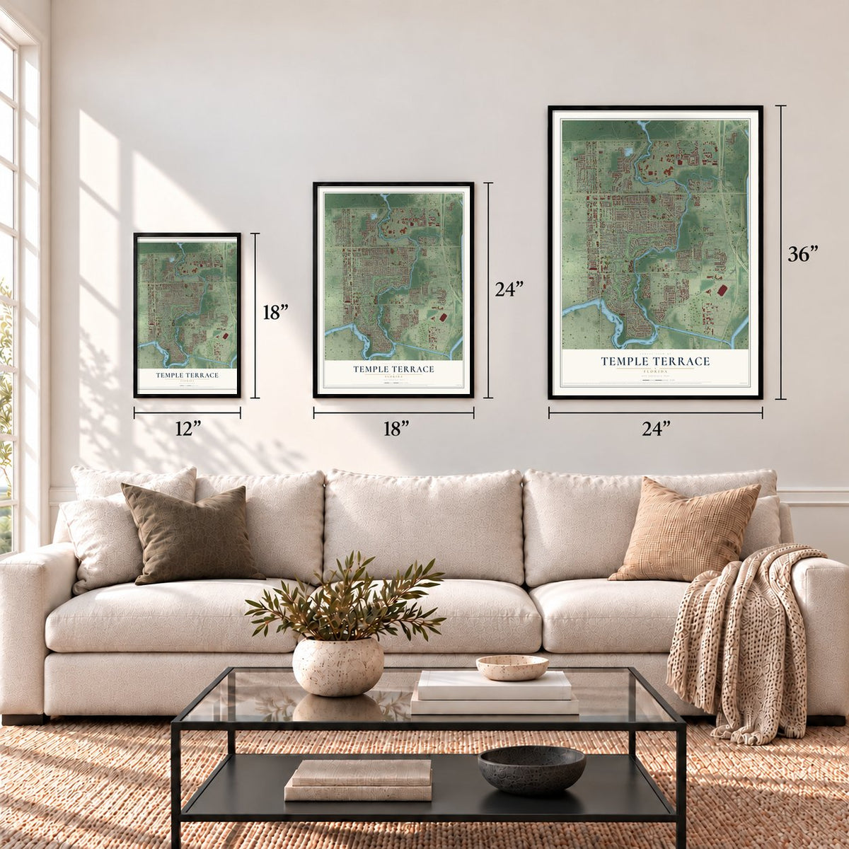
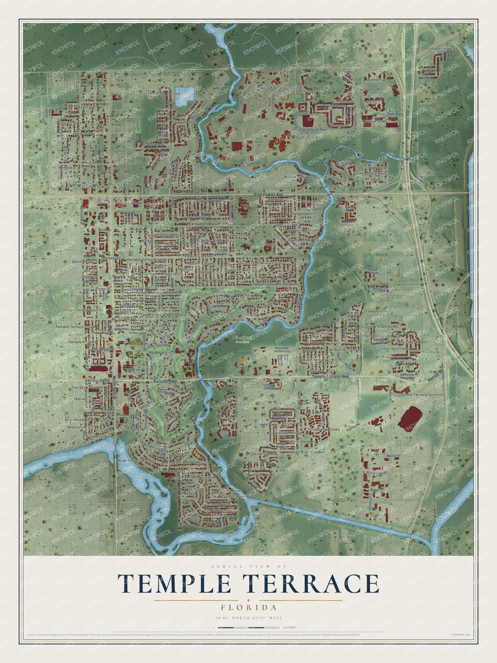
A new map of Temple Terrace, Florida, made in 2026 and printed to order on thick archival matte paper.
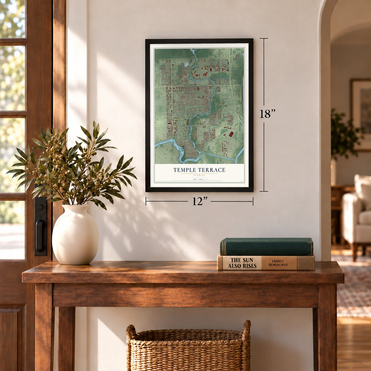
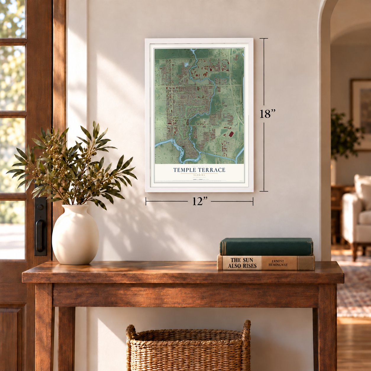
12" x 18" Archival Matte Print
A Map of Home. A Work of Art.
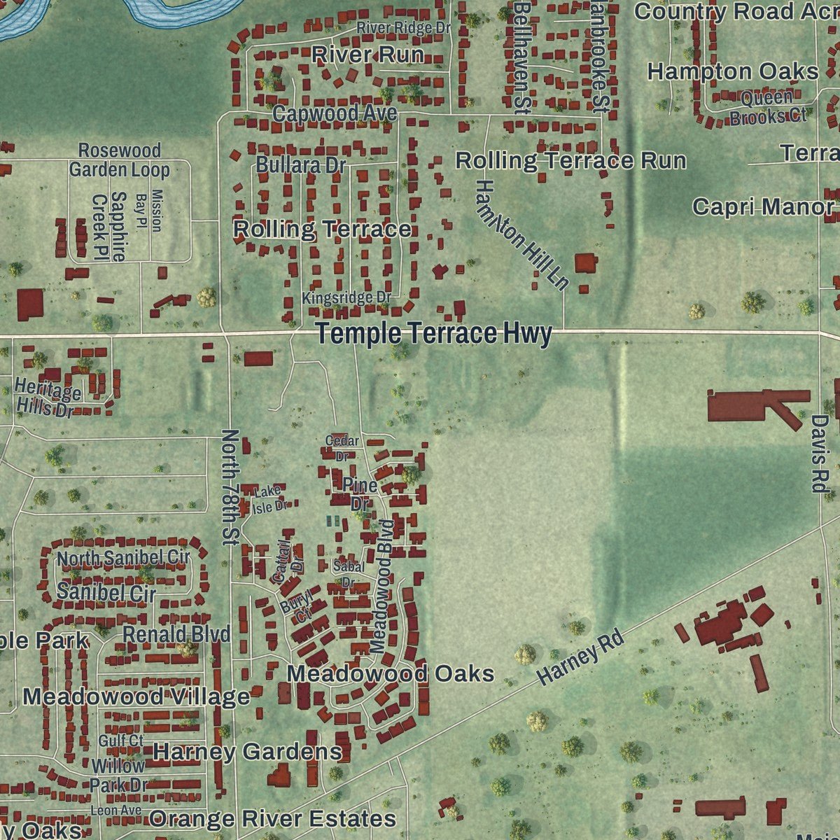
Explore Temple Terrace, Florida from a whole new perspective. Created using aerial imagery and detailed geographic data, this map captures Temple Terrace building by building, with labeled streets, familiar landmarks, and shaded topographical relief that highlights the natural contours of the landscape.
Combining modern data with the timeless character of a vintage atlas, this map is just as interesting up close as it is beautiful on the wall. Whether you grew up in Temple Terrace, spent memorable years there, or call it home today, this unique map is a great way to celebrate a place that means something to you. Zoom in on the preview to look for your street, and then order a print to put your memories on the wall.
Three ways to hang it
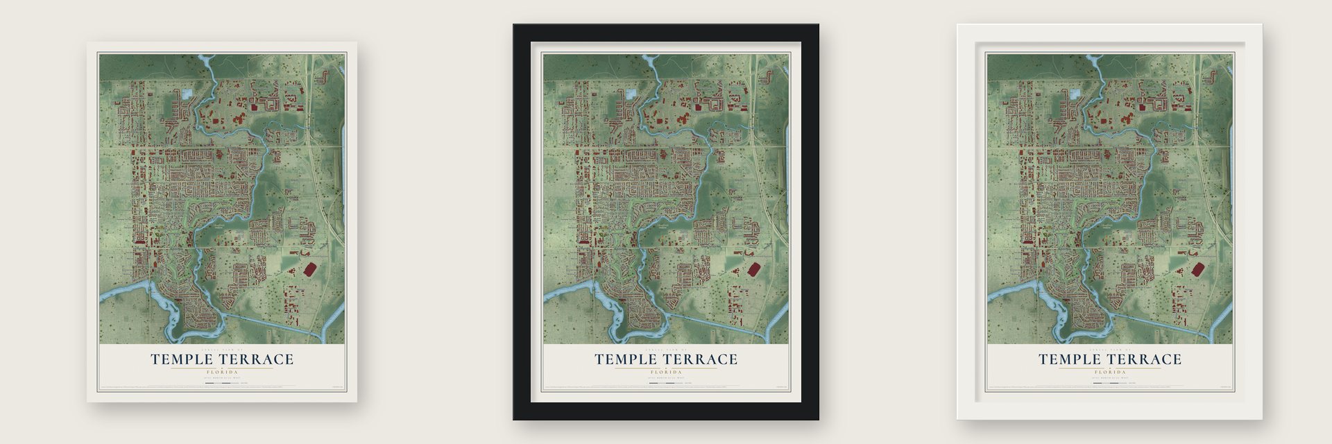
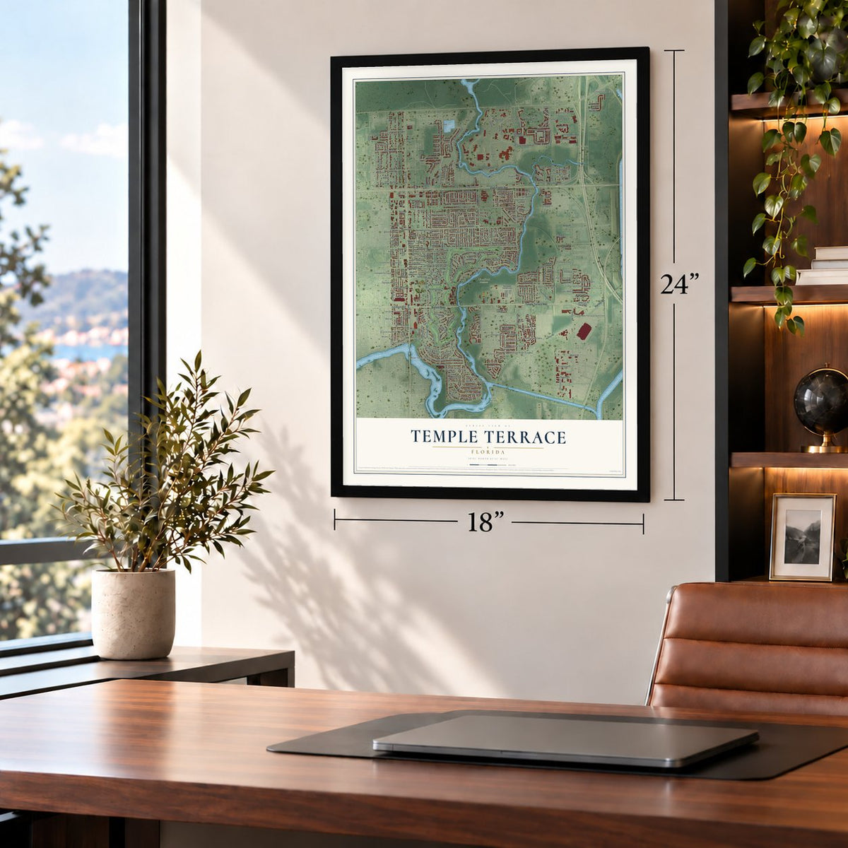
Unframed archival matte, a black wood frame or a white wood frame.
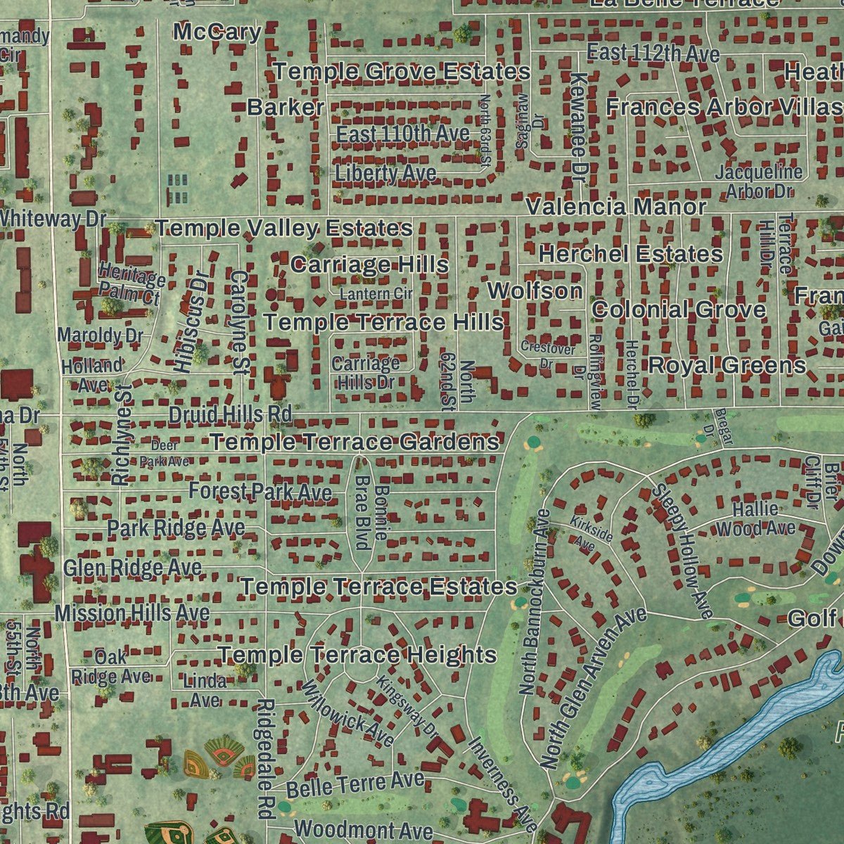
Up close
Geography Worth Displaying
This map was created using accurate cartographic data and authoritative geographic sources, including the U.S. Geological Survey (USGS) and FEMA. The map brings together terrain, waterways, roads, and building detail. The majority of the streets are labeled, houses are accurately depicted, and the topography is derived from government sources. Combining local data with carefully composed color and shading leads to this beautifully detailed Temple Terrace artwork for your wall.
Rather than simply showing street outlines, we’ve included as many of the street names as we could reasonably fit on the map while keeping their names legible. Zoom in on the high resolution preview to see exactly what’s on the map. We truly set out to create a statement piece for anyone who loves Temple Terrace. So whether it’s for you, or a gift for someone you love, we hope this map of Temple Terrace brings back fond memories.
Explore the full map of Temple Terrace, Florida and read about the local places it shows.

About Temple Terrace, Florida
Temple Terrace is a city in Hillsborough County, Florida. A population of 26,690 was recorded in the 2020 census.
- Hillsborough CountyThis Florida city forms part of Hillsborough County.
- 26,690 residents in 2020The census recorded this population for Temple Terrace.
- Incorporated in 1925The community received municipal status in this year.
Find your street
Names on the Temple Terrace map
Every name below is printed on this map. Look for your street, your school, the park where you played, or the pond down the road.
Places and landmarks84
- Riverfront Preserve
- Andrews
- Arabian Acres
- Barker
- Bridgeford Oaks
- Brightwater
- Capri Manor
- Carriage Hills
- College Park East
- Collins
- Colonial Grove
- Country Road Acres
Show all 84 places
- Cypress Point
- Eckerds
- Frances Arbor South
- Frances Arbor Villas
- Gentilly Oaks
- Golf Manor
- Grandview Acres
- Hampton Oaks
- Harney
- Harney Gardens
- Heatherton Heights
- Herchel Estates
- Hidden Creek
- Hidden Island Estates
- Huntington by the Campus
- La Belle Terrace
- Maffett
- Marian
- McCary
- Meadowood Oaks
- Meadowood Village
- Mendoza
- Orange River Estates
- Pleasant Dale
- Preserve at Fletcher Avenue
- Primrose Gardens
- Raintree Oaks
- Raintree Terrace
- Randolph Arbor
- Ritch Acres
- River Forest Reserve
- River Run
- River Terrace Estates
- Riveredge
- Riverhills Park
- Rolling Terrace
- Rolling Terrace Run
- Royal Greens
- Rustic Village
- Silver Oaks
- Smiths Golf View Estates
- Tampa Oaks
- Tampa Oaks North
- Temple Grove Estates
- Temple Heights
- Temple Hills
- Temple Oaks
- Temple Park
- Temple Terrace Estates
- Temple Terrace Gardens
- Temple Terrace Golfview
- Temple Terrace Heights
- Temple Terrace Hills
- Temple Terrace Junction
- Temple Terrace Plaza
- Temple Terrace Riverside
- Temple Valley Estates
- Terrace Oaks
- Terrace Overlook
- Terrace River
- Terrace Walk
- The Arbors
- The Arbors at Fletcher Island
- The Bluffs
- Theresa Arbor
- University Square
- Valencia Manor
- Vista del Rio
- Wetherington
- Widman Acres
- Wil Jo
- Wolfson
Streets and roads261
- Temple Terrace Highway
- Bullard Parkway
- Harney Road
- East Fowler Avenue
- North 56th Street
- Morris Bridge Road
- Arbor Isle Drive
- Raintree Boulevard
- Raintree Drive
- Serena Drive
- North 52nd Street
- North 78th Street
- North Glen Arven Avenue
- Argyle Place
- North Riverhills Drive
- North 53rd Street
- Whiteway Drive
- Druid Hills Road
- South Riverhills Drive
- Davis Road
- Telecom Drive
- East 113th Avenue
- Bannockburn Avenue
- East Fletcher Avenue
- Ridgedale Road
- West River Drive
- Gillette Avenue
- Mission Hills Avenue
- Overlook Drive
- East Telecom Parkway
Show all 261 streets
- Montrose Avenue
- Richlyne Street
- East River Drive
- Beverly Drive
- Fern Cliff Avenue
- Brightwater Boulevard
- Tampa Oaks Boulevard
- Glen Ridge Avenue
- East 112th Avenue
- Soaring Avenue
- Downs Avenue
- Summit West Boulevard
- Sunnyside Road
- Renald Boulevard
- Park Ridge Avenue
- Forest Park Avenue
- Broxburn Avenue
- East 127th Avenue
- Arbor Island Boulevard
- Courtney Drive
- Hollow Stump Road
- Rain Forest Street
- Terrace Spring Drive
- Capwood Avenue
- Terrace Ridge Drive
- Woodland Ridge Drive
- North 51st Street
- Riverchase Drive East
- Brentwood Drive
- Jennifer Drive
- Orange Oak Circle
- Belle View Avenue
- Belleview Avenue
- Industrial Lane
- North Queensway Drive
- South Queensway Drive
- Hibiscus Drive
- Saint Augustine Avenue
- Maislin Drive
- Alanbrooke Street
- Woodmont Avenue
- Maybole Place
- Gadsden Drive
- Bullara Drive
- Grandville Drive
- Glencoe Drive
- Hamilton Hill Lane
- Belle Terre Avenue
- Cliff Drive
- Belle Meade Avenue
- Bon Aire Avenue
- Shirley Drive
- Grove Terrace
- Sanibel Circle
- Raintree Lake Lane
- Biltmore Avenue
- Temple Heights Road
- 62nd Street
- Rivergate Avenue
- Bahamas Avenue
- Laketree Lane
- Rifka Court
- Woodstork Drive
- Carolyne Street
- Bellhaven Street
- Heritage Lane
- Kewanee Drive
- Liberty Avenue
- East 110th Avenue
- Springdale Place
- Navajo Avenue
- Berwick Avenue
- Dunes Lane
- Island Road
- Poinsettia Drive
- 98th Avenue
- North 59th Street
- Sycamore Place
- David Lane
- Venture Cv
- Chilkoot Street
- Holland Street
- East Busch Boulevard
- Mission Court
- Sleepy Hollow Avenue
- North Bannockburn Avenue
- South Glen Arven Avenue
- Rosewood Garden Loop
- Meadowood Boulevard
- Inverness Avenue
- Boardwalk Trail Drive
- East 122nd Avenue
- North Telecom Parkway
- Terrace River Drive
- West Riverchase Drive
- Bonnie Brae Boulevard
- Terrace Court
- Jacqueline Arbor Drive
- Montravail Circle
- Rainbow Drive
- Carriage Hills Drive
- Water Chestnut Drive
- Bottom Woods Circle
- Sophia Drive
- Raintree Village Boulevard
- Wood Duck Place
- Normandy Circle
- Grand Circle
- Queen Brooks Court
- South Greenfield Avenue
- Garrard Drive
- Willowick Avenue
- Holland Avenue
- Glen Oaks Avenue
- Grove Hill Road
- Baybrooks Circle
- North 62nd Street
- Terrace Hill Drive
- East 131st Avenue
- Councils Way
- Coral Bean Drive
- Ben Lomond Drive
- Willow Park Drive
- North 54th Street
- North 55th Street
- North Sanibel Circle
- Gascon Place
- Heritage Hills Drive
- Cypress Drive
- Peachtree Drive
- Mid Place
- Hallie Wood Avenue
- Northtrail Avenue
- Terrace Brook Place
- Heritage Palm Court
- Falmouth Street
- Clouse Road
- Cinderlane Place
- Indigo Breeze Court
- Old Temple Terrace Highway
- Rob Roy Place
- Oleander Drive
- North 50th Street
- Enterprise Cv
- Lucuya Way
- Dunedin Avenue
- Oak Ridge Avenue
- Skylake Place
- Bellamar Street
- Tullamore Place
- Chicago Avenue
- Sapphire Creek Place
- Seneca Avenue
- Linda Avenue
- Maroldy Drive
- Island Breeze Lane
- Brier Cliff Drive
- McRae Road
- North 58th Street
- Gail Avenue
- Pine Drive
- North 60th Street
- Rain Briar Court
- Oak Fern Court
- Gibson Avenue
- Cross Street
- Fife Avenue
- Sanctuary Cove Drive
- South Burlingame Avenue
- Herchel Drive
- Kingsridge Drive
- Fishermans Pointe Drive
- River Ridge Drive
- Anglers Pointe Drive
- Rollingview Drive
- Rolling Hill Court
- Graduate Circle
- Pinehurst Avenue
- Lantern Circle
- Autumn Place Drive
- Saginaw Drive
- Shadow Lane
- South Riverchase Drive
- Morrison Oaks Court
- Bua Drive
- Sarah Park Drive
- Stratton Park Drive
- East Queensway Drive
- Doral Oaks Court
- Gulf Court
- East 120th Avenue
- East 121st Avenue
- Tanager Place
- Kingsway Drive
- Bridgeford Oaks Drive
- Oakhaven Lane
- Andalucia Field Drive
- Donald Place
- Grape Fern Court
- Treetop Circle
- Cattail Drive
- Pine Mill Court
- Buryl Court
- Oban Avenue
- Hoyt Avenue
- Santuary Cove Drive
- Deer Park Avenue
- Terrace Springs Drive
- Crestover Drive
- North Greenfield Avenue
- Volusia Place
- Regal Square Drive
- Unicorn Road
- Satinwood Way
- Leon Avenue
- North 63rd Street
- East 130th Avenue
- Lake Isle Drive
- Terrace Trail Lane
- Mission Bay Place
- Sea Harbour Lane
- Plaza Way
- Kirkside Avenue
- Michael Drive
- Sabal Drive
- Humber Place
- Norval Place
- Pagoda Place
- Bregar Drive
- Cedar Drive
- Marisa Court
Names are listed as they appear on the printed map. Zoom into the product photos to find them.
The art of mapping a place
How This Map Was Made
Real places. Remarkable detail. Discover the layers that turn geographic data into a map of home.

The view from above
Aerial imagery reveals the character of the land: woodland, open fields, and the patterns of a place.

The shape of the land
Elevation data brings hills, valleys, and subtle changes in the landscape into view.

The details of home
Roads, waterways, and building footprints come together to make the map feel unmistakably local.

Geography becomes art
Considered color, shading, and typography bring the layers together in a map made for your wall.


Process illustrated with Mendon, Massachusetts. Aerial imagery: USDA NAIP. Terrain: USGS 3D Elevation Program. Map details and finished artwork: KNOWOL.
The Details
About This Print
Choose an archival matte print, or a black or white Ayous wood frame. The archival matte print is unframed.
Select your size and finish above to see the matching product image and price.
Materials & Craftsmanship
A contemporary map with the character of a classic atlas, printed on archival matte paper. Optional frames are made from Ayous wood.
Your printed map does not include the watermark shown in the full-map preview.
Shipping & Delivery
Free shipping within the United States. Every print is made to order in the USA.
Buying a gift? Add a note in your cart and we'll include it. We never put prices in the package.
Prints ship within 2 to 3 business days. Allow 7 to 10 days total from ordering for delivery. Timing may vary during holidays or periods of high order volume.
Read our shipping policy.
Returns and damaged prints
Each print is made to order. Change-of-mind refunds are not available after production.
If your print arrives damaged, misprinted or incorrect, contact support@knowol.com within 30 days of receiving it. Include your order number, photos and a description of the issue.
Read our full refund and replacement policy. For questions about your order, email support@knowol.com.
Find your town
Looking for another city?
Find a map of home in our Florida collection, or any town in the country.
Nearby
Maps of towns near Temple Terrace
Know someone from one of these towns? Their map makes a great gift.
 East Lake-Orient Park
, Florida
From $39.99See the map
 University
, Hillsborough County, Florida
From $39.99See the map
 Thonotosassa
, Florida
From $39.99See the map
More maps nearby: Mango, Southeast Seminole Heights, South Seminole Heights, Seffner and Wellswood.