
Search for another town



Free U.S. delivery 7 to 10 days after you order
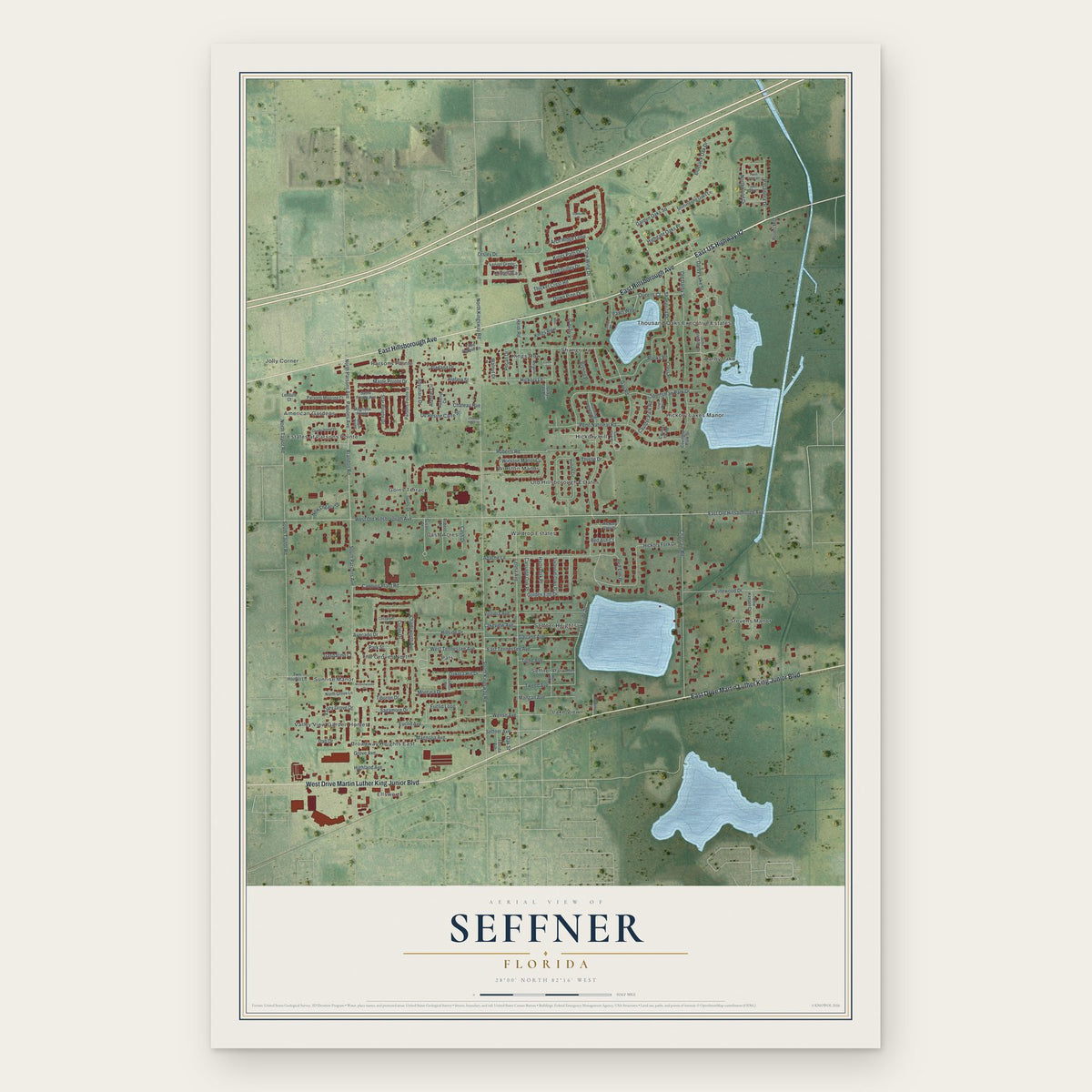
Seffner, Florida Map Art
Building by building, with labeled streets and shaded relief.
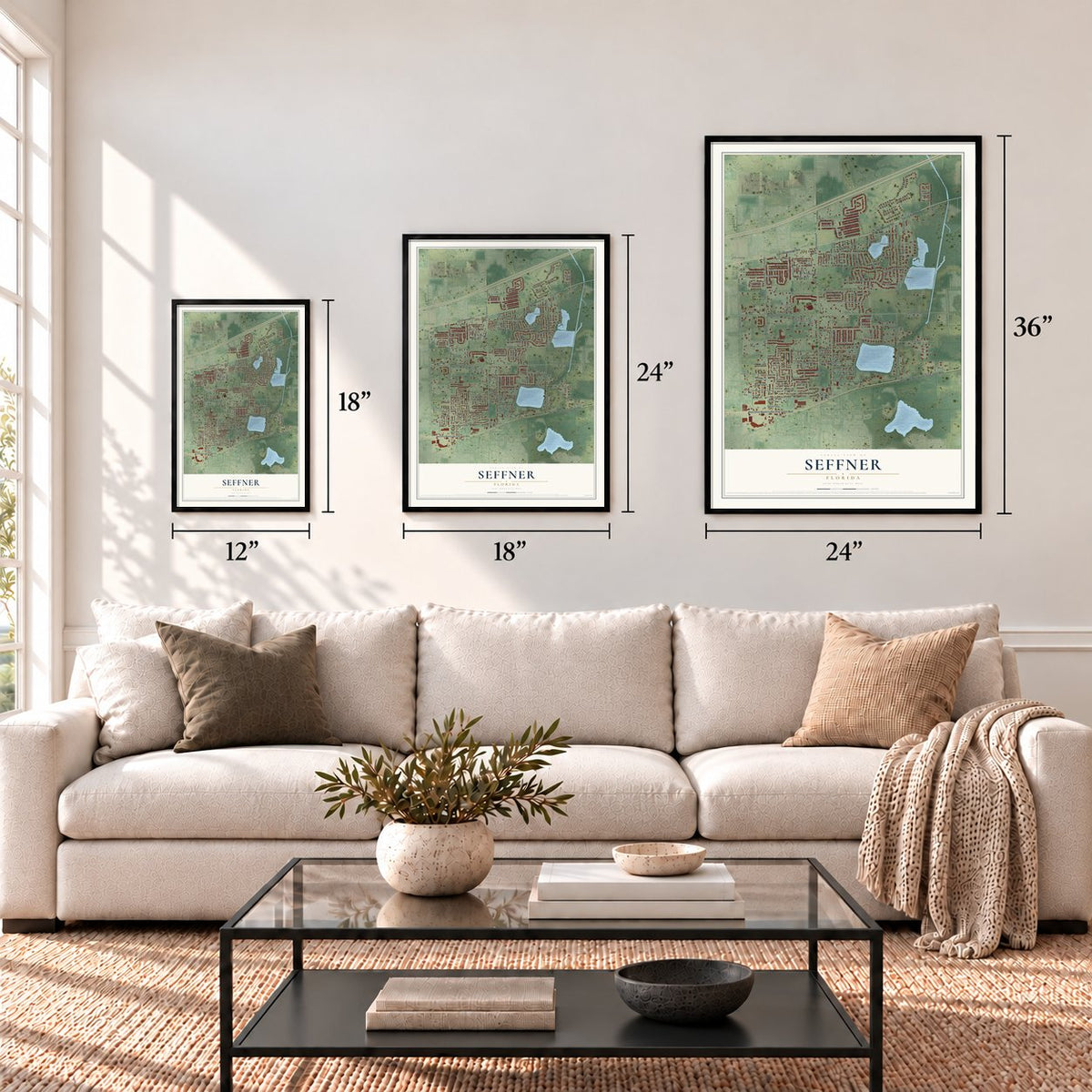
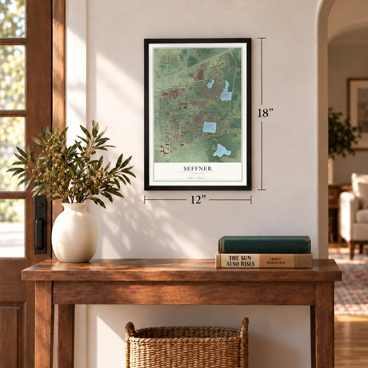
12" x 18" Archival Matte Print
A Map of Home. A Work of Art.
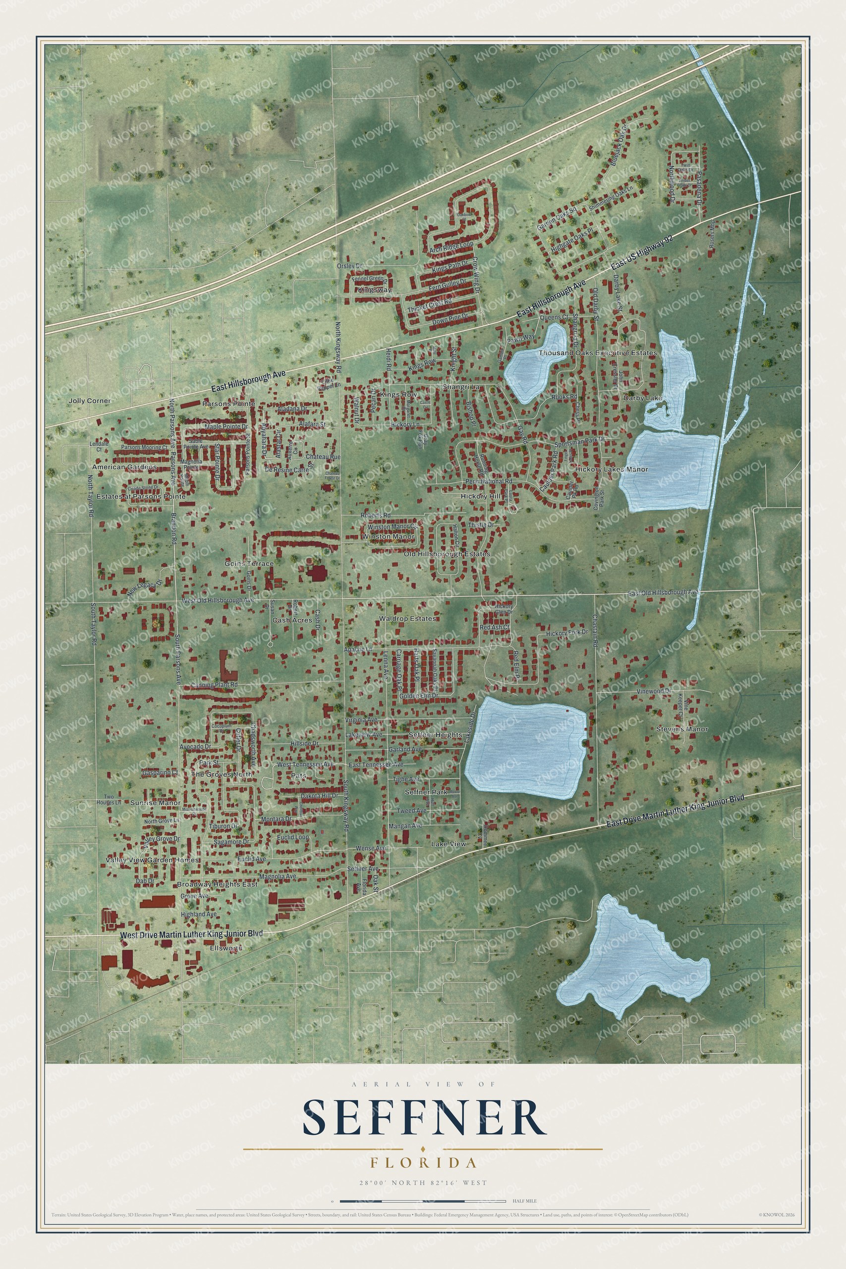
Explore Seffner, Florida from a whole new perspective. Created using aerial imagery and detailed geographic data, this map captures Seffner building by building, with labeled streets, familiar landmarks, and shaded topographical relief that highlights the natural contours of the landscape.
Combining modern data with the timeless character of a vintage atlas, this map is just as interesting up close as it is beautiful on the wall. Whether you grew up in Seffner, spent memorable years there, or call it home today, this unique map is a great way to celebrate a place that means something to you. Zoom in on the preview to look for your street, and then order a print to put your memories on the wall.
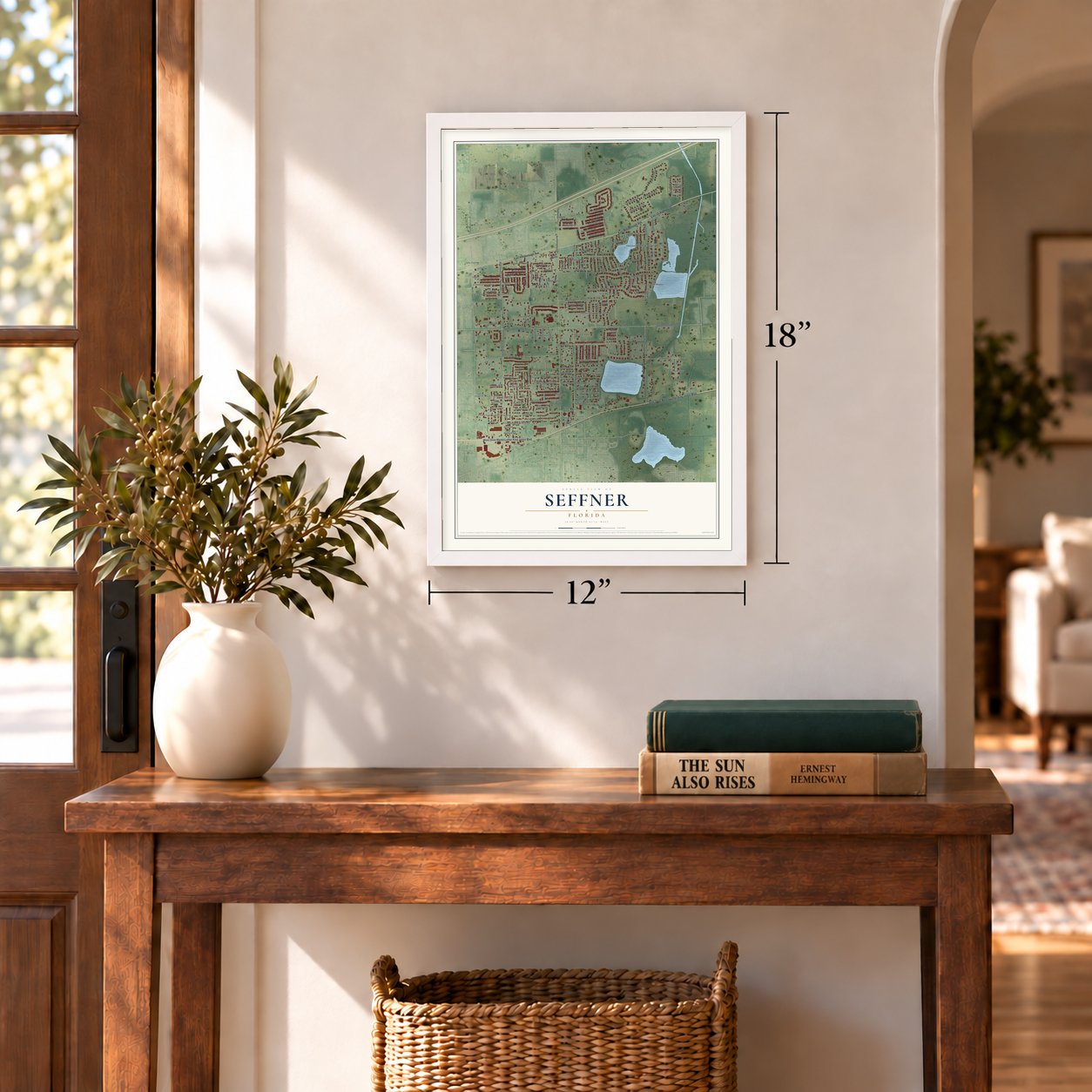
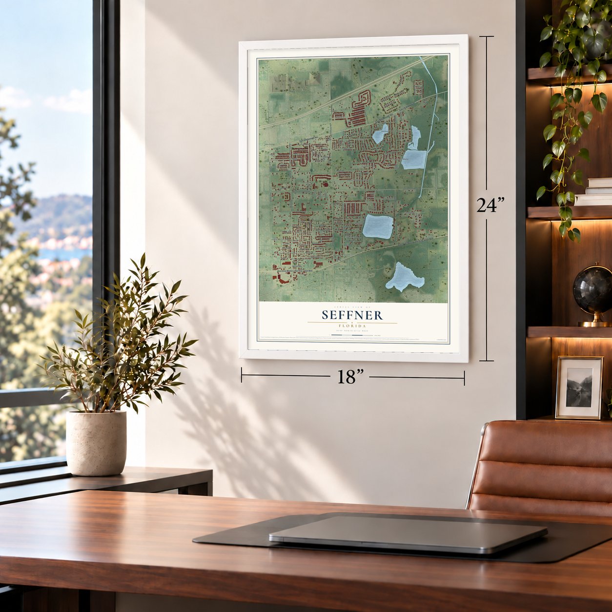
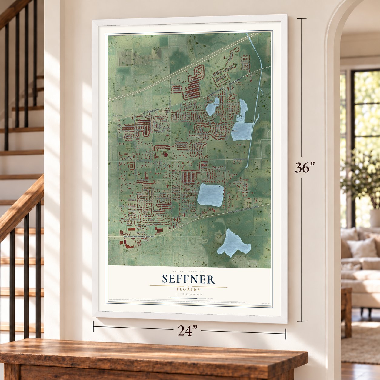
Three ways to hang it
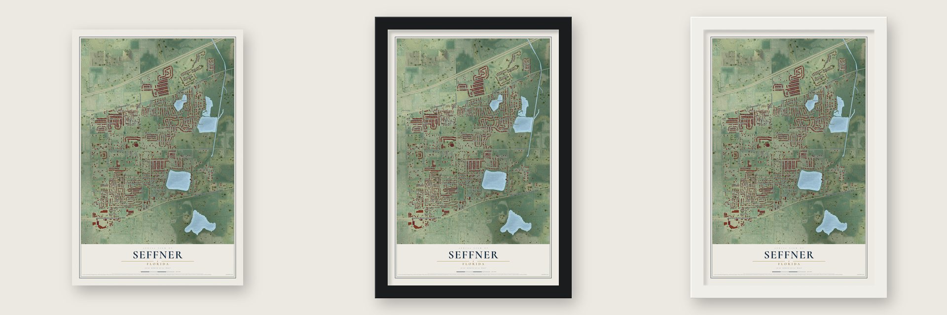
Unframed archival matte, a black wood frame or a white wood frame.
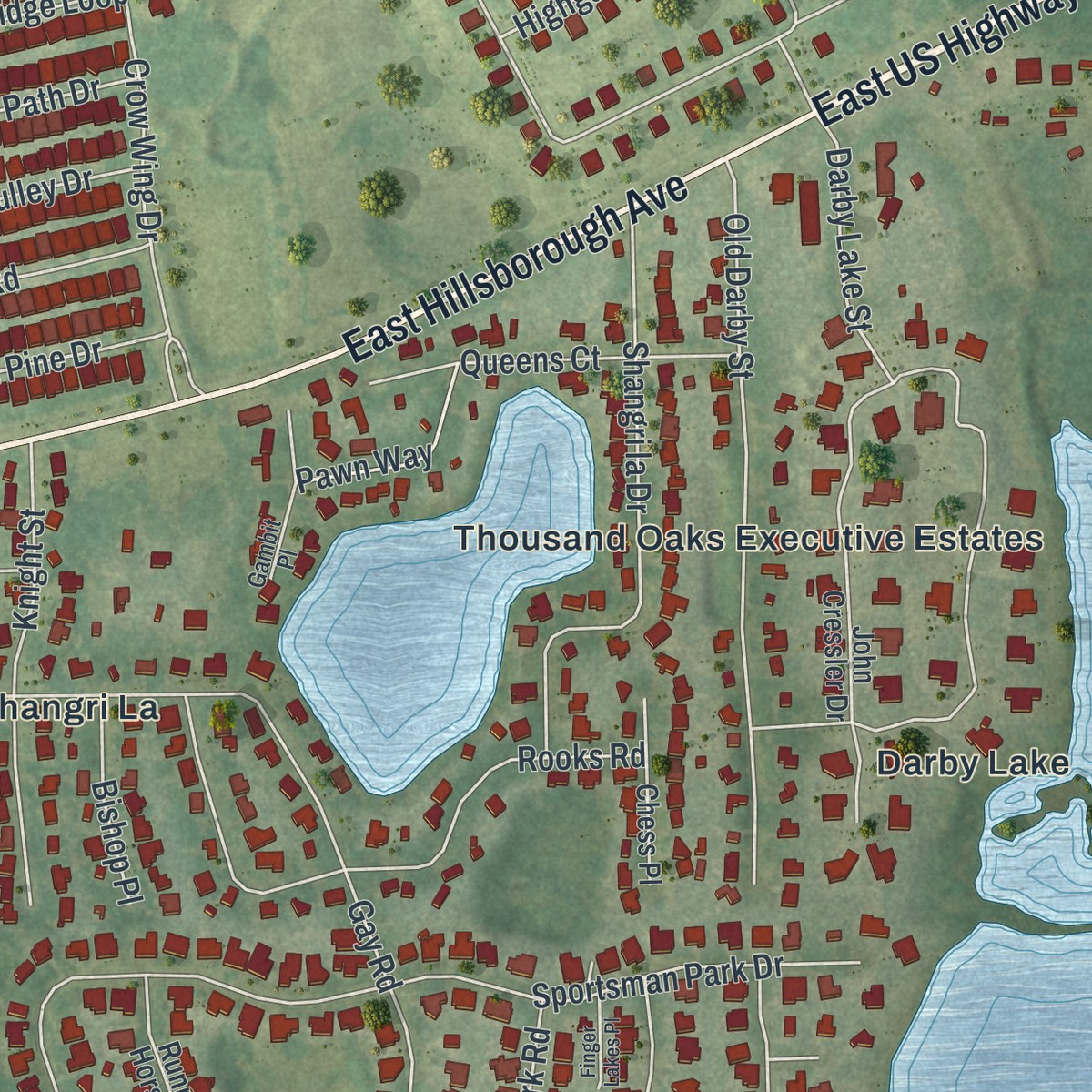
Up close
Geography Worth Displaying
This map was created using accurate cartographic data and authoritative geographic sources, including the U.S. Geological Survey and the Census Bureau. The map brings together terrain, waterways, roads, and building detail. The majority of the streets are labeled, houses are accurately depicted, and the topography is derived from government sources. Combining local data with carefully composed color and shading leads to this beautifully detailed Seffner artwork for your wall.
Rather than simply showing street outlines, we’ve included as many of the street names as we could reasonably fit on the map while keeping their names legible. Zoom in on the high resolution preview to see exactly what’s on the map. We truly set out to create a statement piece for anyone who loves Seffner. So whether it’s for you, or a gift for someone you love, we hope this map of Seffner brings back fond memories.
Read the story behind this map of Seffner, Florida from 2026.

Find your street
Names on the Seffner map
Every name below is printed on this map. Look for your street, your school, the park where you played, or the pond down the road.
Places and landmarks26
- Waldrop Estates
- Ellsworth
- Thousand Oaks Executive Estates
- Jolly Corner
- Pats
- Kings Row
- Stevens Manor
- Lake View
- Sunrise Manor
- Parsons Pointe
- Hickory Lakes Manor
- Goins Terrace
Show all 26 places
- Kingsway
- Seffner Heights
- Old Hillsborough Estates
- Hickory Hill
- Estates at Parsons Pointe
- The Groves North
- Broadway Heights East
- Shangri La
- Cash Acres
- Seffner Park
- Valley View Garden Homes
- Winston Manor
- Darby Lake
- American Gardens
Streets and roads139
- East US Highway 92
- East Hillsborough Avenue
- East Drive Martin Luther King Junior Boulevard
- West Drive Martin Luther King Junior Boulevard
- East Old Hillsborough Avenue
- West Tennessee Avenue
- North Parsons Avenue
- Abyahara Drive
- South Taylor Road
- South Parsons Avenue
- North Kingsway Road
- Brandon Road
- South Kingsway Road
- Lenna Avenue
- West Old Hillsborough Avenue
- Chastain Road
- Park Street
- Apache Lane
- Arch Ridge Loop
- Gay Road
- Sportsman Park Drive
- Garden Oaks Square
- North Taylor Road
- Penn National Road
- Magnolia Avenue
- Parsons Avenue
- Canning Plant Road
- Winston Manor Circle
- Lakeview Avenue
- Hickory Fork Drive
Show all 139 streets
- Euclid Avenue
- Old Darby Street
- Sagamore Drive
- Fern Gulley Drive
- Rooks Road
- Orsley Drive
- Chadsworth Avenue
- Roberts Road
- Virginia Avenue
- Shangri la Drive
- Maple Pointe Drive
- Garland Avenue
- Vinewood Drive
- Hickory Lane
- Down Pine Drive
- Lakeside Drive
- Tiburon Drive
- Bluejack Oak Drive
- Star Pointe Drive
- Golden Elm Drive
- Crow Wing Drive
- Knight Street
- Montara Drive
- Seffner Avenue
- Hillside Drive
- Alafara Street
- Northwood Drive
- Pasadena Drive
- Kings Path Drive
- Heidi Road
- Valley Grove Drive
- Wense Avenue
- Thicket Crest Road
- Queens Court
- De Resine Carre Street
- Euclid Loop
- Aladana Drive
- Tighe Avenue
- Mangan Avenue
- Tweed Avenue
- East Tennessee Avenue
- New Legacy Drive
- Dab Drive
- Dakota Hill Drive
- Darby Lake Street
- Cutler Drive
- Highgate Oaks Place
- Carriage Oak Place
- Caulder Park Road
- Harts Oak Place
- Walnut Drive
- Pawn Way
- Pecan Drive
- Red Elm Place
- Bishop Place
- Avocado Drive
- Cash Drive
- Highland Avenue
- Grove Avenue
- Gasparino Court
- Alastar Circle
- Chateau Rue
- Thistle Drive
- Red Ash Court
- Oak Street
- John Cressler Drive
- Running Horse Road
- Halton Circle
- Parsons Pointe Street
- Fennel Green Drive
- Covington Park Street
- Hickory Glen Drive
- Auxerre Circle
- Sable Pointe Avenue
- Goins Drive
- Parsons Mooring Court
- Vine Keeper Court
- Shimmering Oaks Lane
- Savannah Oaks Place
- Magnolia Pointe
- Susan Drive
- Robert Drive
- Caulder Pk Road
- Chess Place
- North Grove Lane
- Little Pepper Lane
- Rosers Mhp
- Florida Avenue
- Two Houses Lane
- Commee Cv
- Gray Fox Run
- Lendale Court
- Coade Stone Drive
- Laura Park Place
- Hull Avenue
- Cocoplum Drive
- Margaret Drive
- Gambit Place
- Twin Oaks Drive
- Maple Pointe
- Moore Avenue
- Finger Lakes Place
- Missionwoode Drive
- Timber Glade Drive
- Cheiftian Way
- Chateau Forest Drive
- Oakbow Court
- Mate Place
- Castle Circle
Names are listed as they appear on the printed map. Zoom into the product photos to find them.
About Seffner, Florida
Seffner is a community of 8,362 people in Hillsborough County, about 13 miles east of downtown Tampa. The land was first called Simmon's Hammock, after Daniel Simmon, a Baptist minister from Savannah, Georgia, who opened a mission to the Native people near Lake Thonotosassa after Fort Brooke was built. That early settlement came to an end when the Second Seminole War broke out in late 1835, and in early 1836 Major-General Edmond P. Gaines reported that three homesteads there had been burned.
Settlers returned after the Armed Occupation Act of 1842. The town's first name was Lenna City, but it sounded too much like Lemon City in Dade County, so it needed a new name before its post office opened in 1884. It took the name of its first postmaster, Frederick P. Seffner, and that same year, with a railroad line planned through the area, the first school and store opened. Seffner, Mango and Dover grew into shipping towns on the South Florida Railroad between Tampa and Plant City.
- A refuge from yellow feverSeffner soon had citrus groves, a hotel, a drug store, dry goods stores and a livery stable. When yellow fever struck Tampa in the fall of 1887 and again in 1888, many Tampa families fled here and sheltered in the hotel. Both the refugees and the mail were fumigated when they arrived. Banker T.C. Taliaferro kept the First National Bank of Tampa open for business from a Seffner branch until the epidemic passed.
- Back from the big freezeThe hard cold of the winter of 1894 and 1895 was a disaster for Seffner, and many residents moved away. Others stayed to win back what they had lost, and the town recovered its prosperity, adding new residential neighborhoods for the people who moved in. By 1925 Seffner ranked as the fourth-largest town in Hillsborough County.
- From buffalo trail to MLKThe main east and west road through Seffner began as Highway Number 23. It was renamed Buffalo Avenue because it had once been a buffalo trail, and in 1989 it took its present name, Dr. Martin Luther King Jr. Boulevard.
- Rock iguanas in SeffnerThe Life Fellowship Bird Sanctuary, run with a local church, keeps birds and reptiles and is known for its success at breeding rock iguanas in captivity.
Keep exploring Florida
Seffner is one of 1,047 Florida towns we've mapped. Every dot on the map is a print of its own.
The search covers every state, Florida first.
Near Seffner
Order 2 or more town maps and save 10%. Shown in the size and finish you picked above, so they hang as a set.
- Mango 12" x 18" / Archival Matte Print $39.99
- Dover 12" x 18" / Archival Matte Print $39.99
- Thonotosassa 12" x 18" / Archival Matte Print $39.99
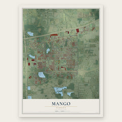
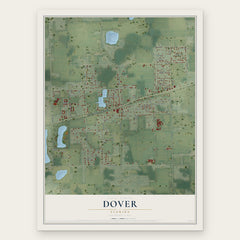

More maps nearby: Brandon, East Lake-Orient Park, Turkey Creek, Valrico and Temple Terrace.
The art of mapping a place
How This Map Was Made
Real places. Remarkable detail. Discover the layers that turn geographic data into a map of home.

The view from above
Aerial imagery reveals the character of the land: woodland, open fields, and the patterns of a place.

The shape of the land
Elevation data brings hills, valleys, and subtle changes in the landscape into view.

The details of home
Roads, waterways, and building footprints come together to make the map feel unmistakably local.

Geography becomes art
Considered color, shading, and typography bring the layers together in a map made for your wall.


Process illustrated with Mendon, Massachusetts. Aerial imagery: USDA NAIP. Terrain: USGS 3D Elevation Program. Map details and finished artwork: KNOWOL.
The Details
About This Print
Choose an archival matte print, or a black or white Ayous wood frame. The archival matte print is unframed.
Select your size and finish above to see the matching product image and price.
Materials & Craftsmanship
A contemporary map with the character of a classic atlas, printed on archival matte paper. Optional frames are made from Ayous wood.
Your printed map does not include the watermark shown in the full-map preview.
Shipping & Delivery
Free shipping within the United States. Every print is made to order in the USA.
Buying a gift? Add a note in your cart and we'll include it. We never put prices in the package.
Prints ship within 2 to 3 business days. Allow 7 to 10 days total from ordering for delivery. Timing may vary during holidays or periods of high order volume.
Read our shipping policy.
Returns and damaged prints
Each print is made to order. Change-of-mind refunds are not available after production.
If your print arrives damaged, misprinted or incorrect, contact support@knowol.com within 30 days of receiving it. Include your order number, photos and a description of the issue.
Read our full refund and replacement policy. For questions about your order, email support@knowol.com.