
Search for another town



Free U.S. delivery 7 to 10 days after you order
Valrico, Florida Map Art
Building by building, with labeled streets and shaded relief.
12" x 18" Archival Matte Print
A Map of Home. A Work of Art.
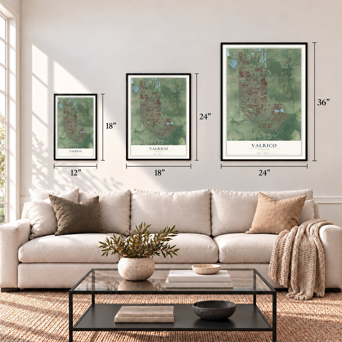
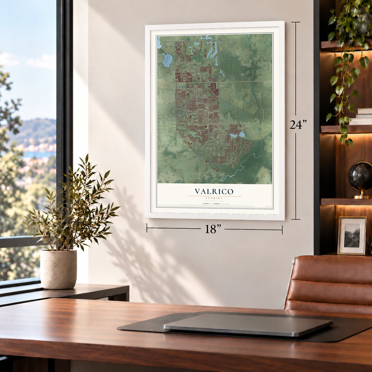
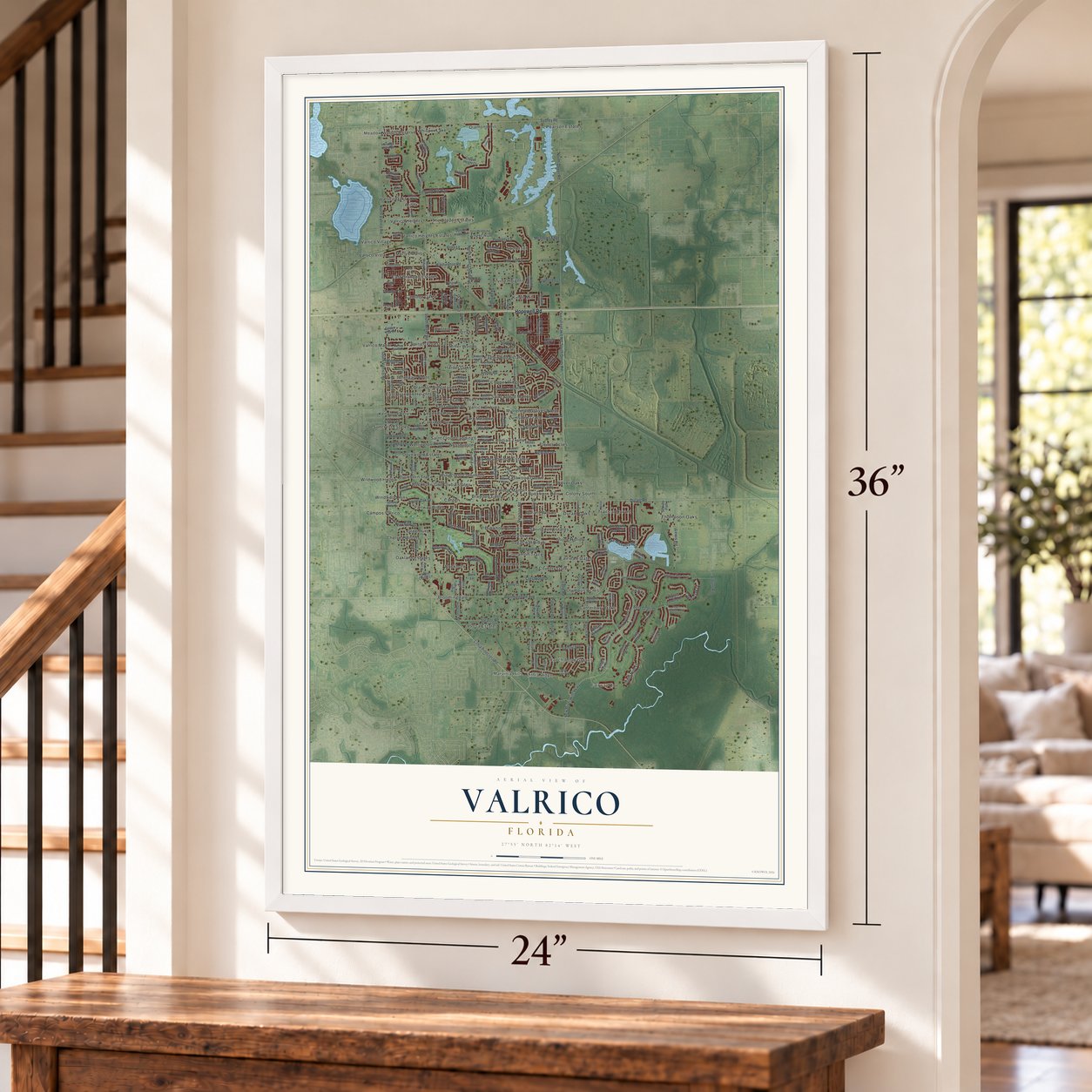
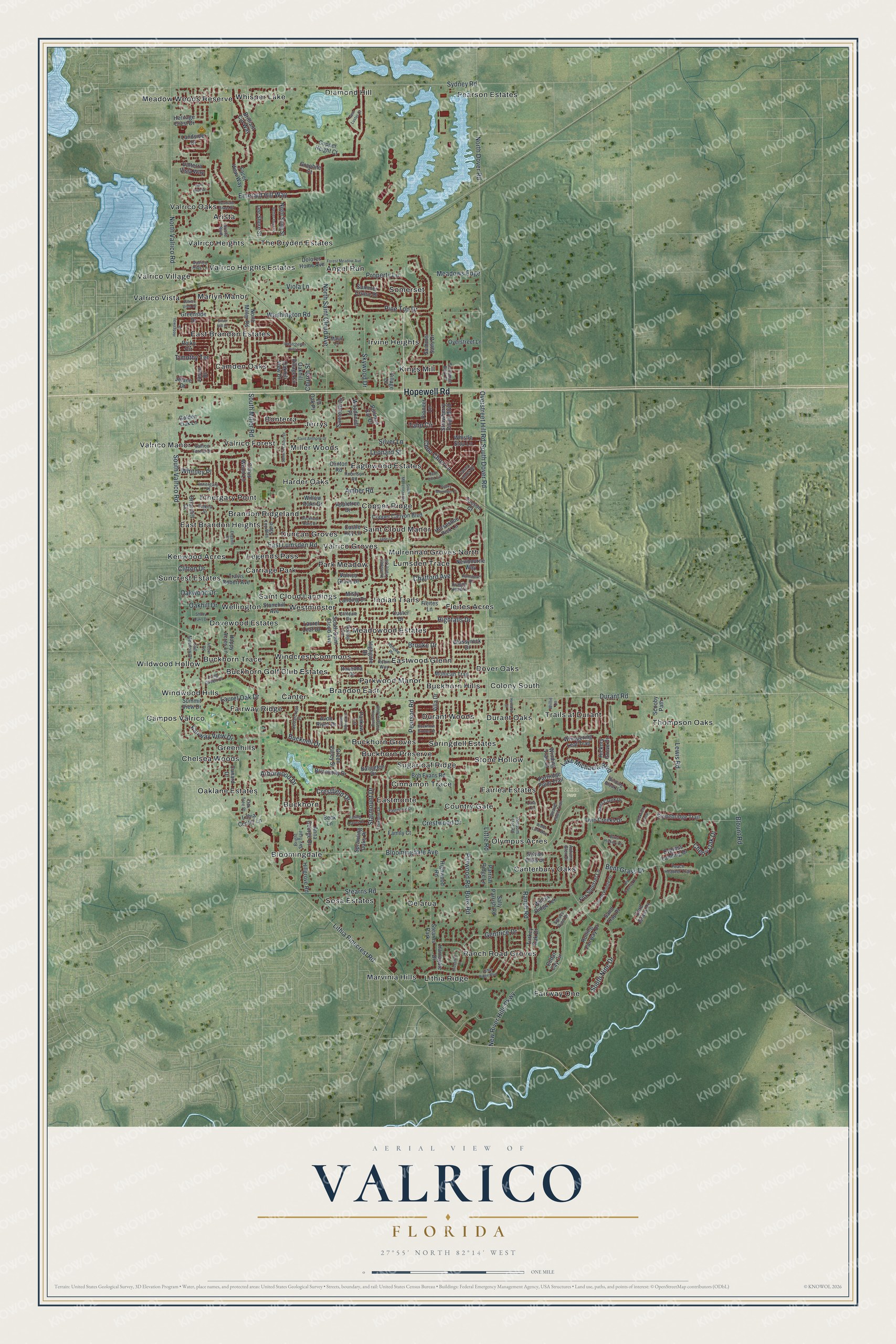
Explore Valrico, Florida from a whole new perspective. Created using aerial imagery and detailed geographic data, this map captures Valrico building by building, with labeled streets, familiar landmarks, and shaded topographical relief that highlights the natural contours of the landscape.
Combining modern data with the timeless character of a vintage atlas, this map is just as interesting up close as it is beautiful on the wall. Whether you grew up in Valrico, spent memorable years there, or call it home today, this unique map is a great way to celebrate a place that means something to you. Zoom in on the preview to look for your street, and then order a print to put your memories on the wall.
Three ways to hang it
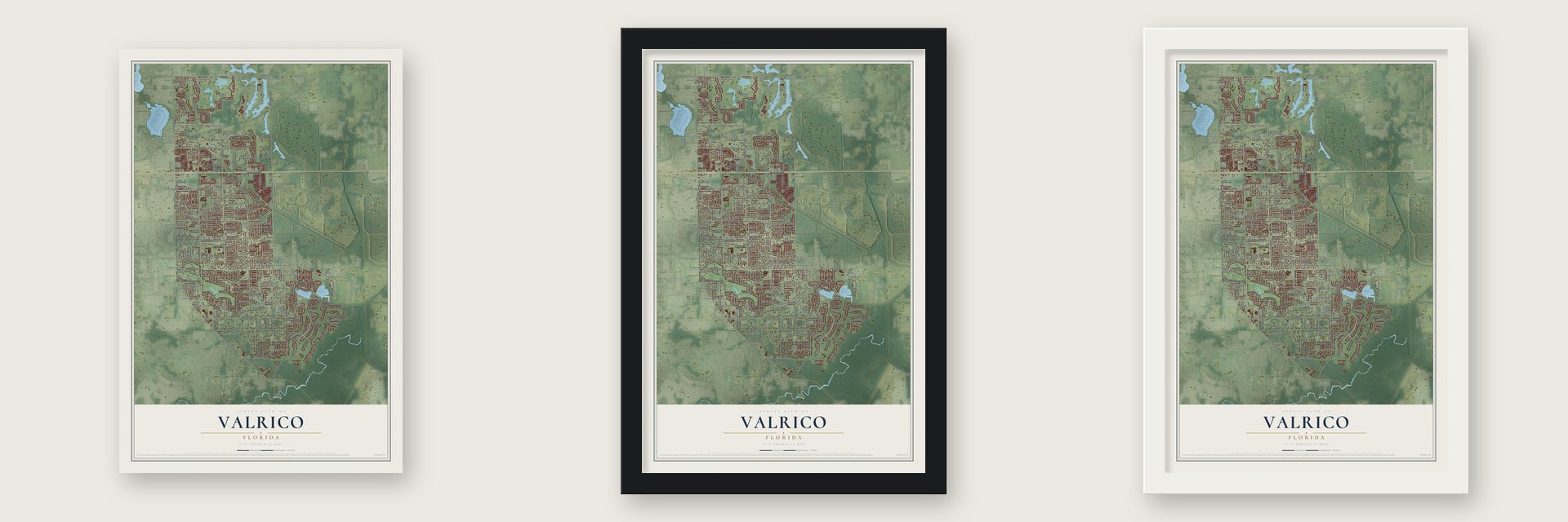
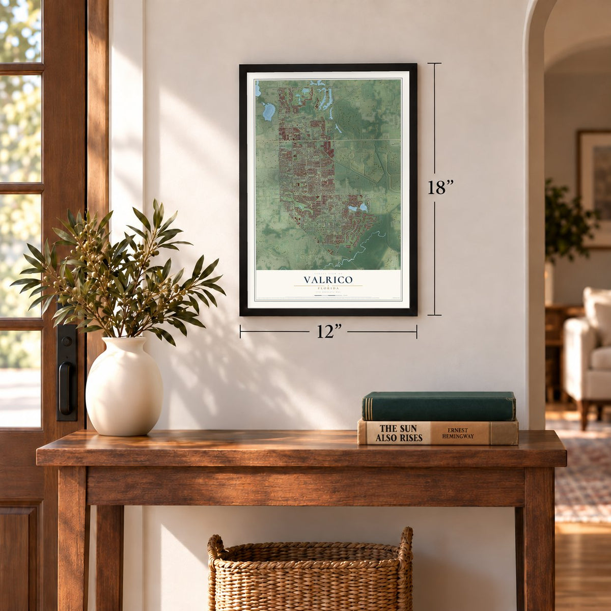
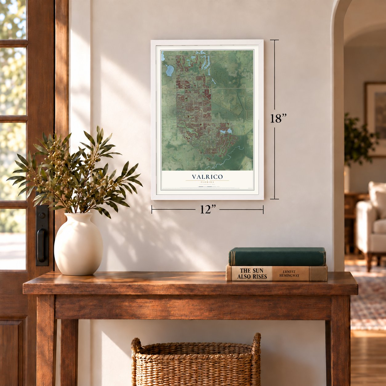
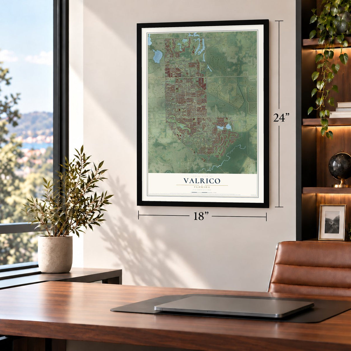
Unframed archival matte, a black wood frame or a white wood frame.
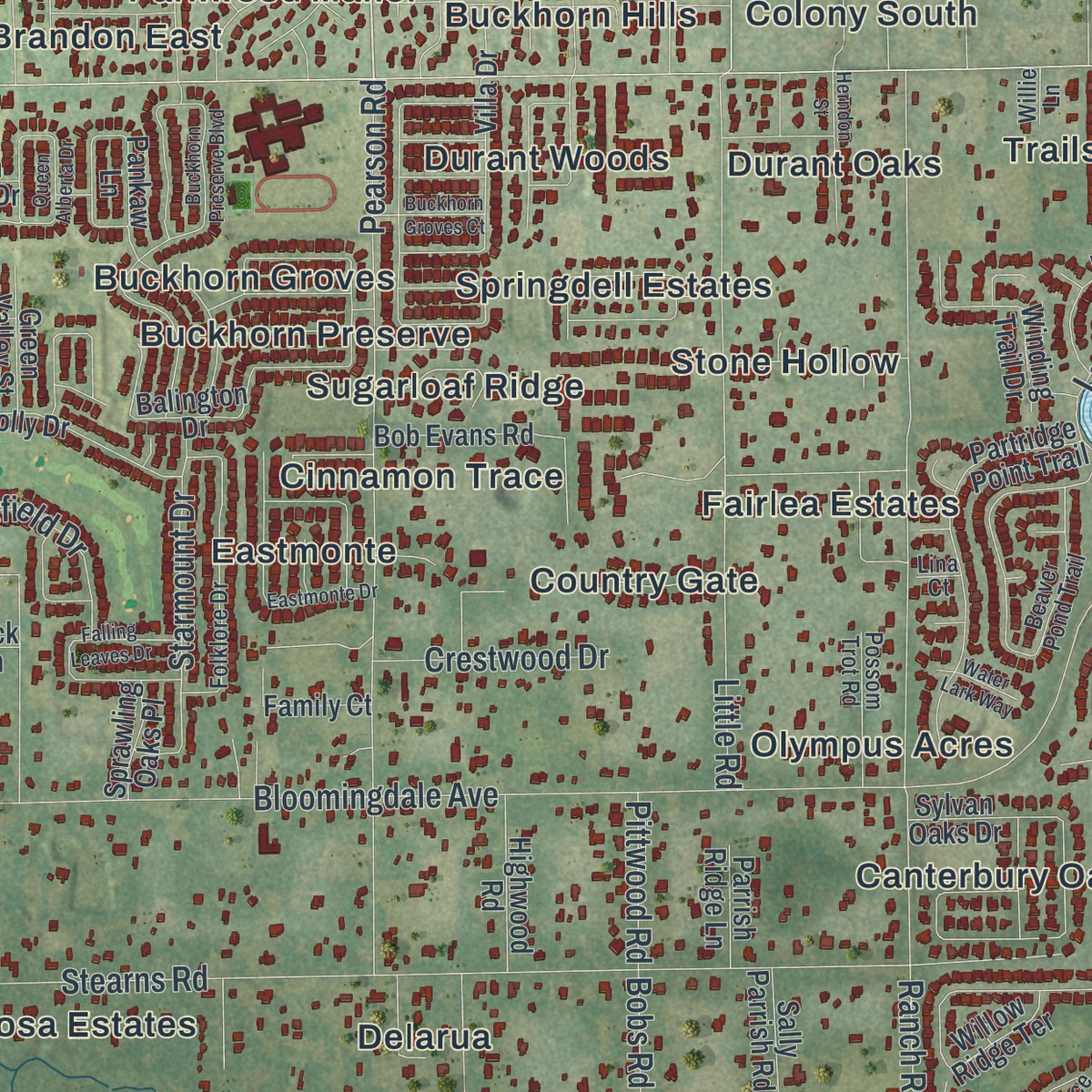
Up close
Geography Worth Displaying
This map was created using accurate cartographic data and authoritative geographic sources, including the U.S. Geological Survey and the Census Bureau. The map brings together terrain, waterways, roads, and building detail. The majority of the streets are labeled, houses are accurately depicted, and the topography is derived from government sources. Combining local data with carefully composed color and shading leads to this beautifully detailed Valrico artwork for your wall.
Rather than simply showing street outlines, we’ve included as many of the street names as we could reasonably fit on the map while keeping their names legible. Zoom in on the high resolution preview to see exactly what’s on the map. We truly set out to create a statement piece for anyone who loves Valrico. So whether it’s for you, or a gift for someone you love, we hope this map of Valrico brings back fond memories.
Read the story behind this map of Valrico, Florida from 2026.

Find your street
Names on the Valrico map
Every name below is printed on this map. Look for your street, your school, the park where you played, or the pond down the road.
Places and landmarks88
- Zeina Park
- Pearson Estates
- Valrico Village
- Marvinia Hills
- Kenwood Acres
- Mulrennan Groves North
- Somerset
- Chelsea Woods
- Meadow Woods Reserve
- Thompson Oaks
- Eastmonte
- Fairway One
Show all 88 places
- Bonterra
- Parkwood Manor
- Diamond Hill
- Valrico Manor
- Arista
- Dover Oaks
- Duncan Groves
- Canterbury Oaks
- Delarua
- Canter
- Bloomingdale
- Wildwood Hollow
- Kings Mill
- Eaglewood Estates
- Westminster
- Indian Trails
- Whisper Lake
- Springdell Estates
- Country Gate
- Dovewood Estates
- East Brandon Estates
- Trails at Durant
- Buckhorn
- Harder Oaks
- The Dryden Estates
- Innergary Point
- Buckhorn Hills
- Windcrest Commons
- Buckhorn Preserve
- Lithia Ridge
- Ranch Road Groves
- Fairlea Estates
- Fairway Ridge
- Durant Oaks
- Valrico Forest
- Saint Cloud Manor
- Saint Cloud Landings
- Marlyn Manor
- Campos Valrico
- Carriage Park
- Angel Run
- Copper Ridge
- Buckhorn Golf Club Estates
- Brandon East
- East Brandon Heights
- Meadowood Estates
- Buckhorn Trace
- Park Meadow
- Valrico Heights
- Valrico Groves
- Wellington
- Miller Woods
- Greenhills
- Camden Oaks
- Oaklane Estates
- Sosa Estates
- Jerrys
- Suncrest Estates
- Fleites Acres
- Buckhorn Groves
- Valrico Heights Estates
- Stone Hollow
- Windwood Hills
- Brandon Ridgeland
- Olympus Acres
- Lumsden Trace
- Irvine Heights
- Durant Woods
- Eastwood Glenn
- Valrico Vista
- Valrico Oaks
- Legends Pass
- Sugarloaf Ridge
- Cinnamon Trace
- Colony South
- Stearns Park
Streets and roads206
- Hopewell Road
- Lithia Pinecrest Road
- Durant Road
- South Miller Road
- South Valrico Road
- Bloomingdale Avenue
- Overstreet Hill Road
- South Dover Road
- North Dover Road
- Sydney Road
- North Valrico Road
- New River Hills Parkway
- Washington Road
- Emerald Hill Way
- Stearns Road
- East Lumsden Road
- Ranch Road
- Pearson Road
- Little Road
- North Saint Cloud Avenue
- Choo Choo Lane
- Lake Michaela Boulevard
- Pine Top Drive
- Property Lane
- Gentrice Drive
- Bent Grass Drive
- Laurel Oak Drive
- Taho Circle
- South Nine Drive
- Arborwood Drive
Show all 206 streets
- Lewis Road
- Bucknell Drive
- Skywood Drive
- Starmount Drive
- Brooke Drive
- Amber Road
- Fairway View Drive
- Crestfield Drive
- Viola Lane
- Crestwood Drive
- Cherry Oak Drive
- Meadows Edge
- Whitney Place
- Chatford Avenue
- Highfalls Drive
- Oakwood Drive
- Oakhill Drive
- Timothy Terrace
- Silver Lane
- Leonard Street
- Pittwood Road
- Blount Road
- Clifton Drive
- Church Street
- Bobs Road
- Oakhill Village Circle
- Highgate Drive
- South Saint Cloud Avenue
- Copper Canyon Boulevard
- North Miller Road
- Mohican Trail
- Citrus Wood Lane
- Balington Drive
- Twin Creeks Drive
- Summer Sails Drive
- Sylvan Oaks Drive
- Stonebridge Trail
- Pankaw Lane
- Valrico Grove Drive
- Brilliant Cut Way
- Partridge Point Trail
- Harrogate Drive
- Willow Ridge Terrace
- Appletree Drive
- Horseshoe Pick Lane
- Landside Drive
- Valterra Vista Way
- Cypress Landing Drive
- Whispering Leaf Trail
- Villa Drive
- Strawberry Ridge Boulevard
- Turkey Oak Drive
- Briarcliff Drive
- Hickory Grove Drive
- Fox Squirrel Lane
- Summer Cruise Drive
- Cord Grass Drive
- Brianholly Drive
- Bob Evans Road
- Whistle Stop Lane
- Cedar Cay Circle
- Winding Trail Drive
- Heritage Crest Drive
- Pullman Car Drive
- Anna George Drive
- Facet View Way
- Misty Landing Drive
- Dolores Home Avenue
- Avon River Drive
- Copper Height Court
- Hillgrove Road
- Clinton Road
- Highwood Road
- Cunard Drive
- Stonehill Avenue
- Golden Oak Lane
- Newbourne Way
- Night Song Street
- Sawtooth Drive
- Rolling Fairway Drive
- Overstreet Lane
- Castle Key Lane
- Lee Shore Street
- Travis Robert Avenue
- Laurel Leaf Drive
- Glassyrock Drive
- Happy Acres Lane
- Jason Drive
- Family Court
- Green Valley Street
- Greenside Drive
- Fleites Lane
- Ravenna Drive
- Ricky Circle
- Oakhill View Drive
- Summit View Drive
- Woodknoll Place
- Sally Parrish Road
- Scooby Path
- Pioneer Lane
- Willow Oaks Drive
- Parrish Ridge Lane
- Sprawling Oaks Place
- Sand Trap Place
- Jelane Drive
- Tucson Court
- Lithia Center Lane
- Graphite Court
- Village Drive
- 10 Oak Place
- Custer Drive
- Beck Lane
- Innergary Place
- Valrico Forest Drive
- Beaver Pond Trail
- Lumsden Trace Circle
- Ridge Top Way
- Cedarcrest Place
- Bent Creek Drive
- Folklore Drive
- Spruce Pine Drive
- Selkirk Street
- Dragon Head Drive
- Rolling Circle
- Helene Place
- Laurel Pointe Drive
- Robinson Road
- Autumn Glen Drive
- Arista Boulevard
- Possom Trot Road
- Casey Jones Drive
- Bright Sky Trail
- Valrico Hills Lane
- Robin Way
- Peach Heather Trail
- Cliffdale Drive
- Still Meadow Drive
- Cinnamon Bark Place
- Long Green Court
- Oak Tree Place
- Winding Brook Lane
- Marjo Lane
- Willie Lane
- Lina Court
- South Mulrennan Road
- Lithia Ridge Boulevard
- Buckhorn Preserve Boulevard
- Buckhorn Oaks Drive
- Westchester Hills Lane
- Cape Cod Circle
- Summit Chase Drive
- Rocky Mountain Court
- Queen Alberta Drive
- Eastmonte Drive
- Falling Leaves Drive
- Burnt Hickory Drive
- Edgehill Road
- Silver Hill Drive
- Rockfield Loop
- Forest Meadow Avenue
- Shady Oaks Drive
- Jade Lane
- Gem Luster Court
- Saint Anthony Drive
- Herndon Street
- Better Days Place
- Old Course Lane
- Fountain Grass Drive
- Hunt Club Lane
- Buckhorn Groves Court
- Ramshead Drive
- Valrico Vista Drive
- Alcorn Road
- Hedgeway Drive
- Crosstree Lane
- Water Lark Way
Names are listed as they appear on the printed map. Zoom into the product photos to find them.
About Valrico, Florida
Valrico is a community of 37,895 people in Hillsborough County, 14 miles east of Tampa by State Road 60. Before the Civil War the area was called Long Pond, and cotton plantations covered it. In the 1880s William G. Tousey, who taught philosophy at Tufts College, bought land here, and the place took the name Valrico.
The Florida Central and Peninsular Railroad came through in 1890 and brought a wave of newcomers. Tousey then laid out streets and added stores and a bank, and in 1893 a Mr. Bryan put up a steam mill at Valrico station. A hard freeze in 1895 stopped that growth. A schoolhouse still opened in 1896, but the town shrank from 100 people in 1893 to 50 in 1911.
- A civic center for $3,500Between 1910 and 1914, a group including Judge Hamner, Governor Van Sant, S.C. Phipps and W.F. Miller pushed improvements along Hopewell Road, which later became State Road 60. Miller led the Valrico Improvement Association and raised $3,500 to build the Valrico Civic Center, known today as the James McCabe Theater. Lovett Brandon opened the area's first general store in 1912.
- A comeback in the 1950sThe stock market crash of 1929 closed almost every business in Valrico. Growth did not return until the mid-1950s, when State Road 60 was linked to Adamo Drive in Tampa and put the town on a major Florida highway.
Keep exploring Florida
Valrico is one of 1,067 Florida towns we've mapped. Every dot on the map is a print of its own.
The search covers every state, Florida first.
Near Valrico
Order 2 or more town maps and save 10%. Shown in the size and finish you picked above, so they hang as a set.
- Durant 12" x 18" / Archival Matte Print $39.99
- Bloomingdale 12" x 18" / Archival Matte Print $39.99
- Brandon 12" x 18" / Archival Matte Print $39.99
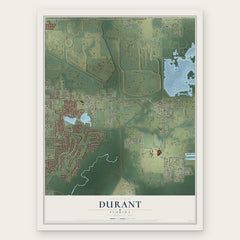
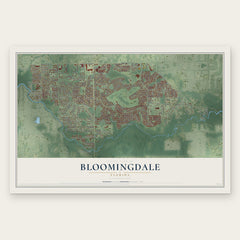
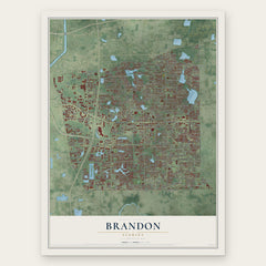
More maps nearby: Dover, Fish Hawk, Turkey Creek, Seffner and Mango.
The art of mapping a place
How This Map Was Made
Real places. Remarkable detail. Discover the layers that turn geographic data into a map of home.

The view from above
Aerial imagery reveals the character of the land: woodland, open fields, and the patterns of a place.

The shape of the land
Elevation data brings hills, valleys, and subtle changes in the landscape into view.

The details of home
Roads, waterways, and building footprints come together to make the map feel unmistakably local.

Geography becomes art
Considered color, shading, and typography bring the layers together in a map made for your wall.


Process illustrated with Mendon, Massachusetts. Aerial imagery: USDA NAIP. Terrain: USGS 3D Elevation Program. Map details and finished artwork: KNOWOL.
The Details
About This Print
Choose an archival matte print, or a black or white Ayous wood frame. The archival matte print is unframed.
Select your size and finish above to see the matching product image and price.
Materials & Craftsmanship
A contemporary map with the character of a classic atlas, printed on archival matte paper. Optional frames are made from Ayous wood.
Your printed map does not include the watermark shown in the full-map preview.
Shipping & Delivery
Free shipping within the United States. Every print is made to order in the USA.
Buying a gift? Add a note in your cart and we'll include it. We never put prices in the package.
Prints ship within 2 to 3 business days. Allow 7 to 10 days total from ordering for delivery. Timing may vary during holidays or periods of high order volume.
Read our shipping policy.
Returns and damaged prints
Each print is made to order. Change-of-mind refunds are not available after production.
If your print arrives damaged, misprinted or incorrect, contact support@knowol.com within 30 days of receiving it. Include your order number, photos and a description of the issue.
Read our full refund and replacement policy. For questions about your order, email support@knowol.com.