
Search for another town

Free U.S. delivery 7 to 10 days after you order
Terre Haute, Indiana Map Art
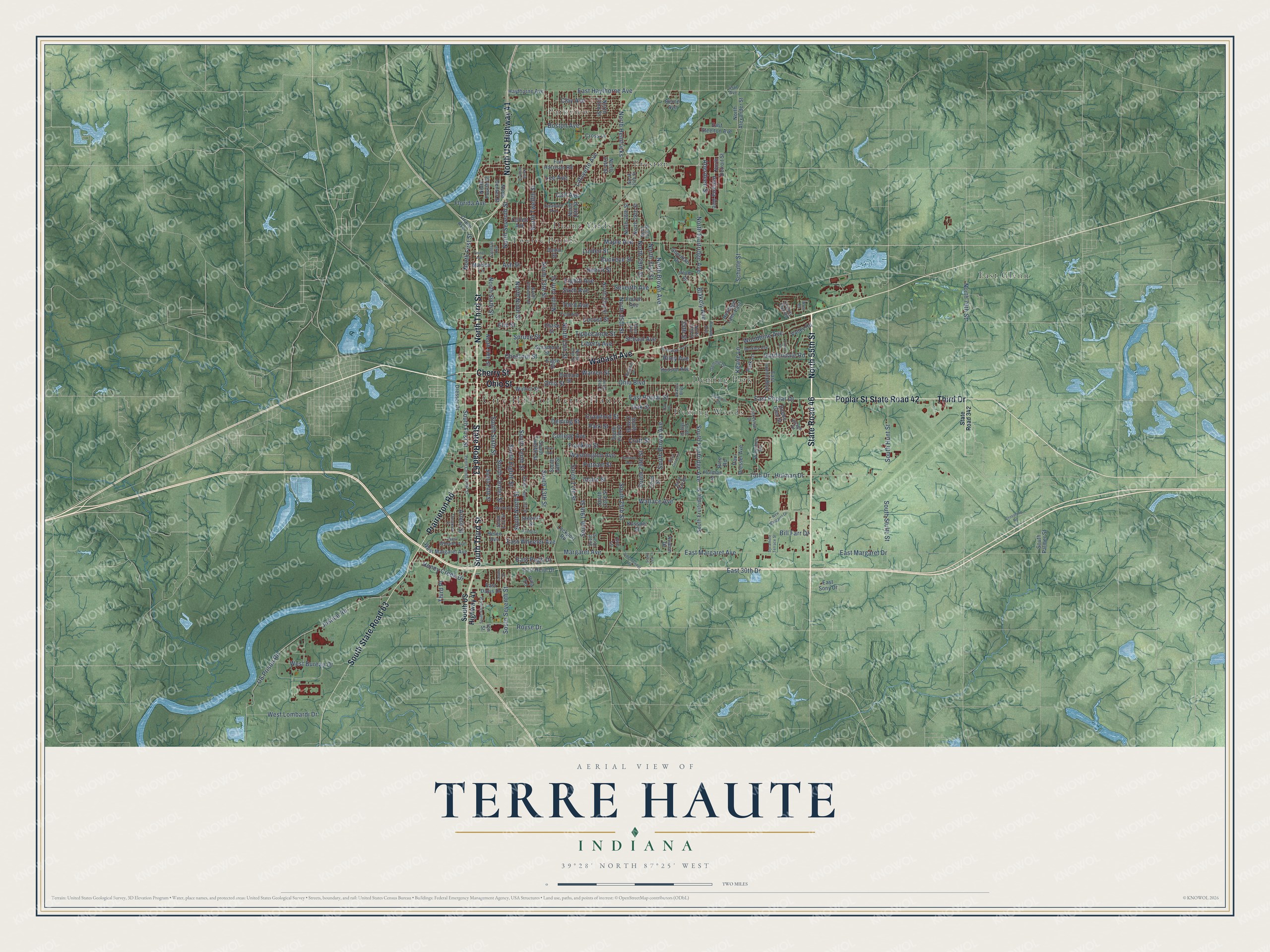
Building by building, with labeled streets and shaded relief.
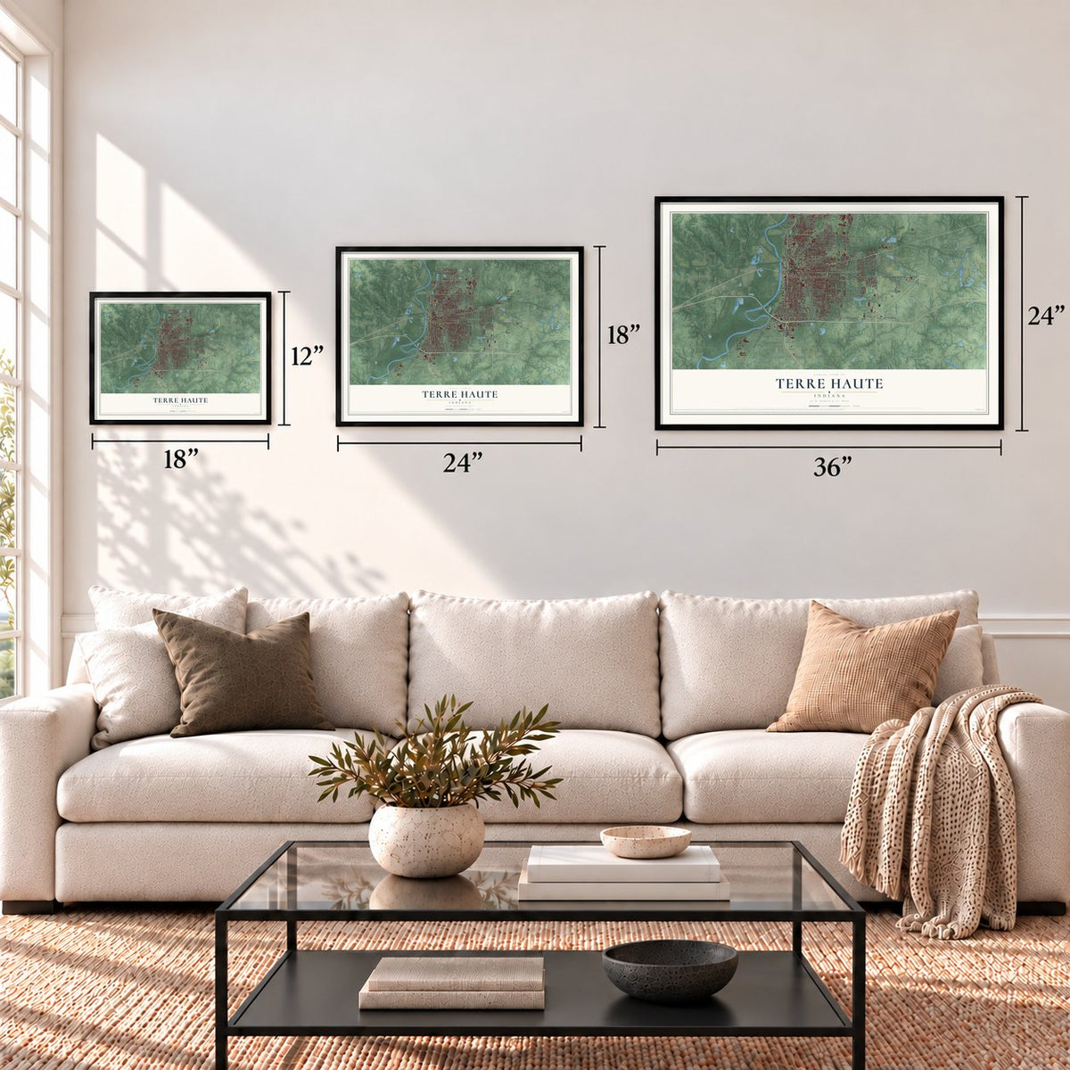
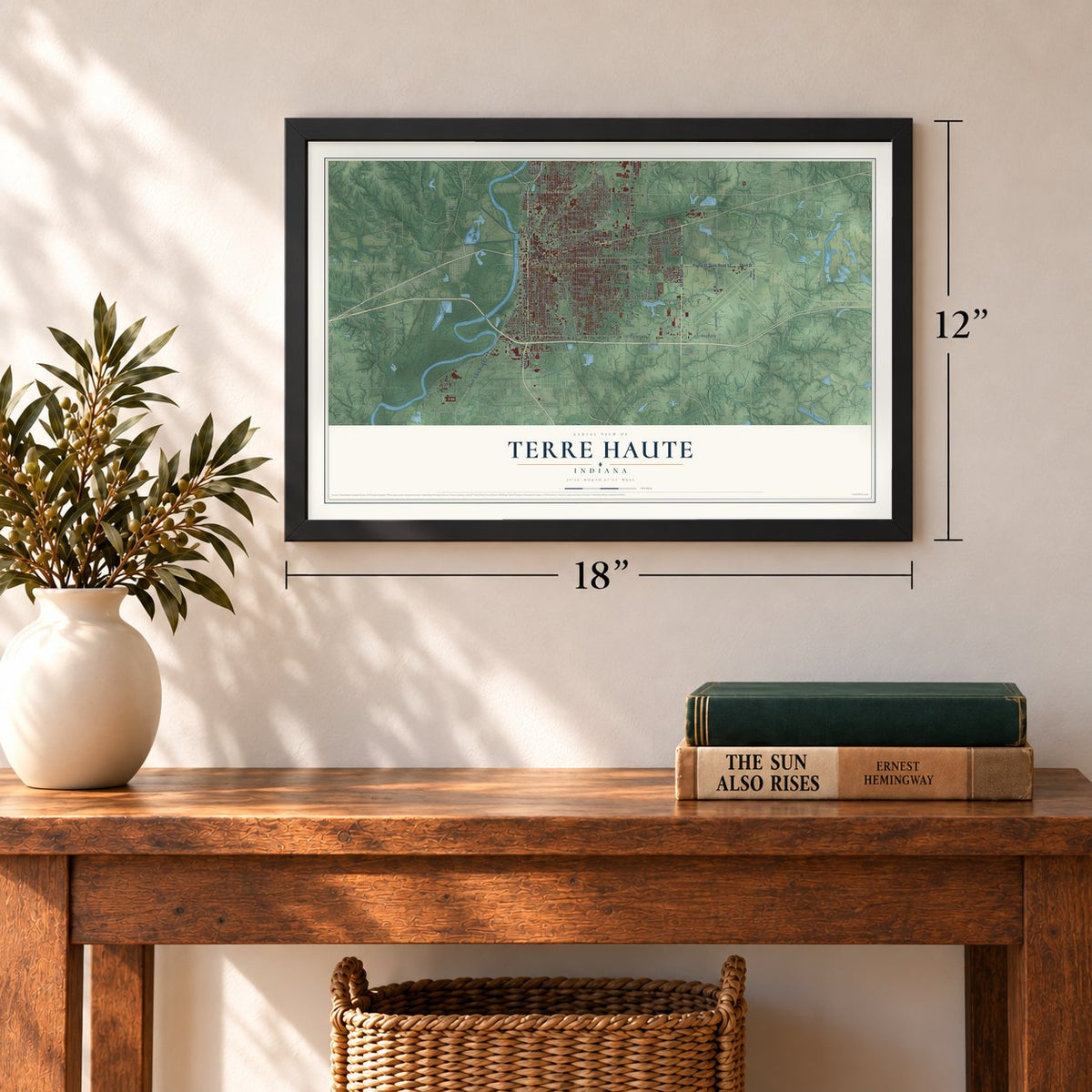
12" x 18" Archival Matte Print
A Map of Home. A Work of Art.
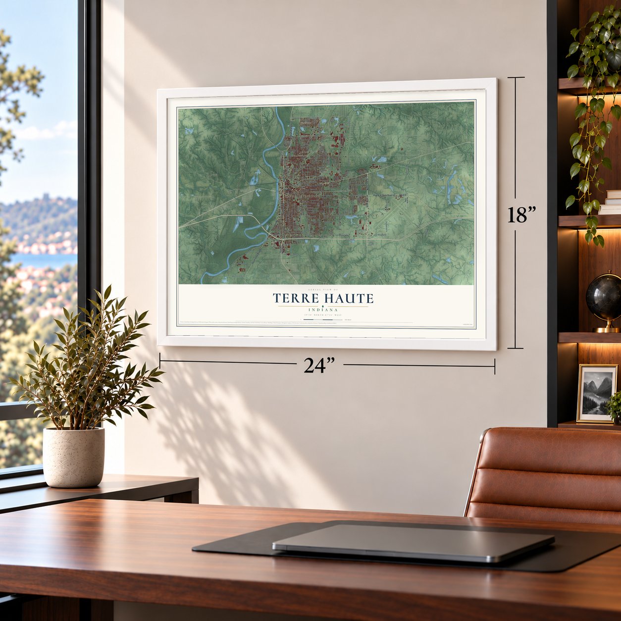
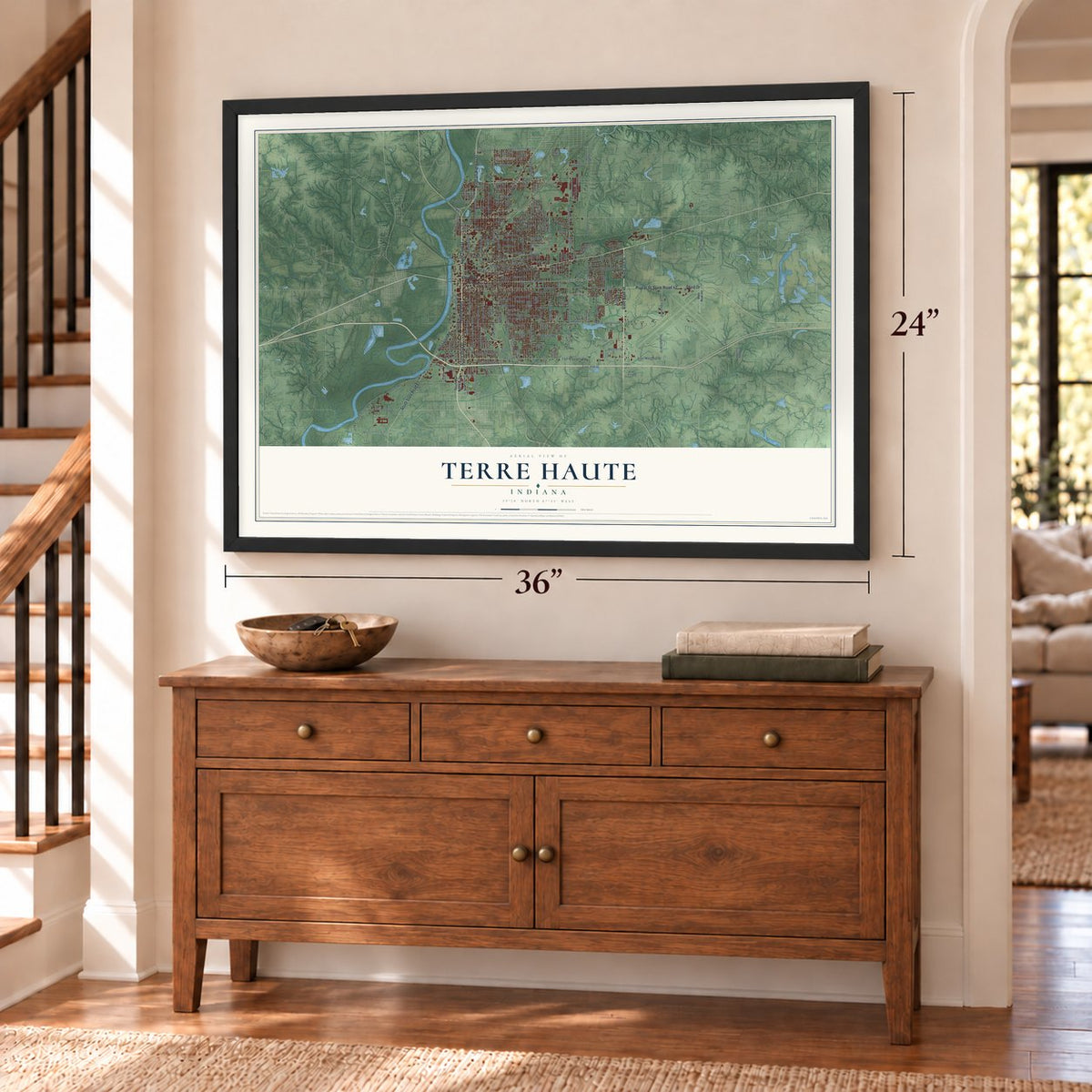
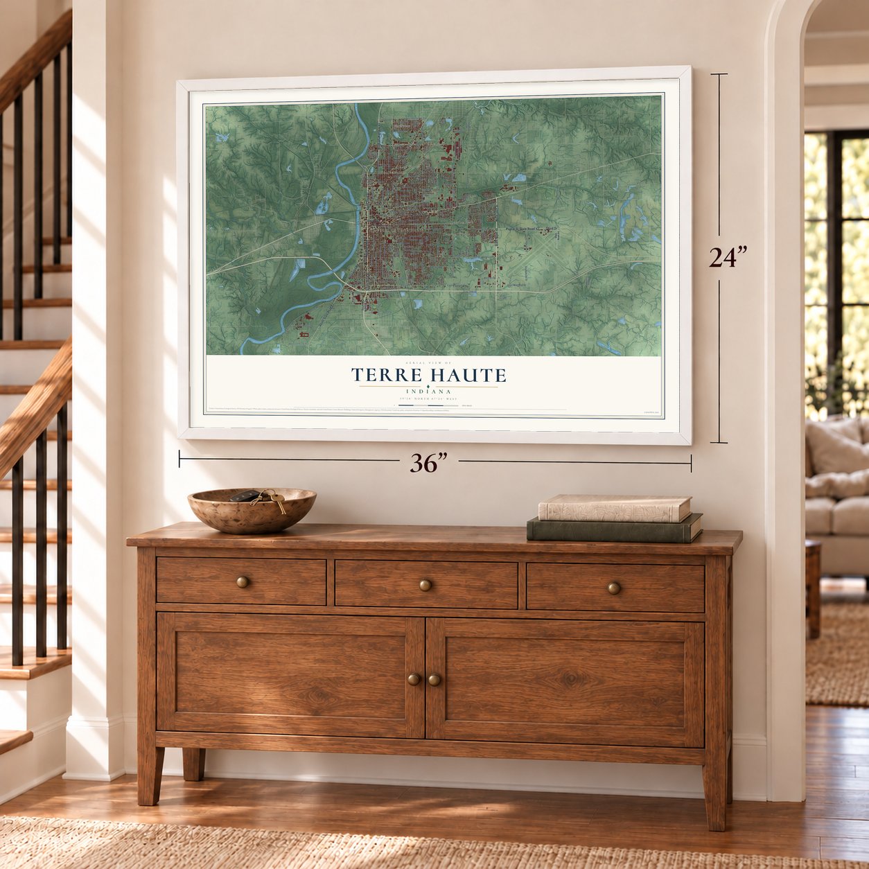
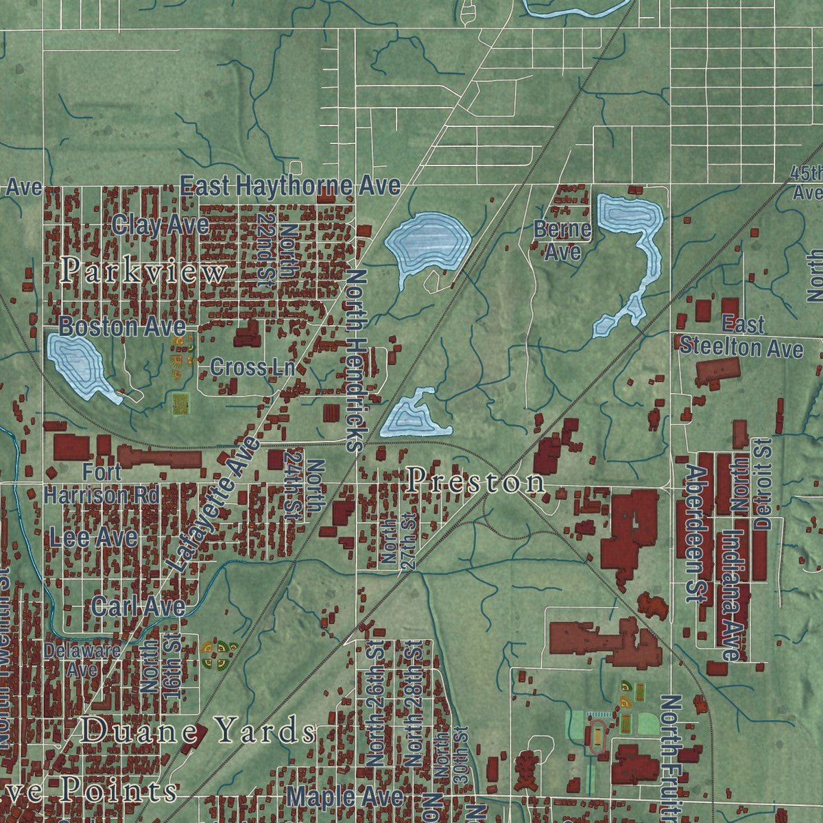
Explore Terre Haute, Indiana from a whole new perspective. Created using aerial imagery and detailed geographic data, this map captures Terre Haute building by building, with labeled streets, familiar landmarks, and shaded topographical relief that highlights the natural contours of the landscape.
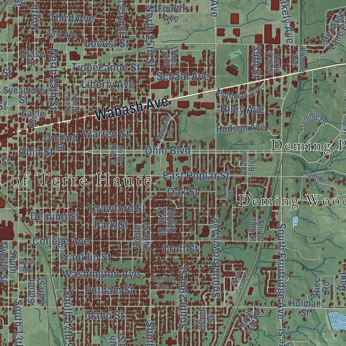
Combining modern data with the timeless character of a vintage atlas, this map is just as interesting up close as it is beautiful on the wall. Whether you grew up in Terre Haute, spent memorable years there, or call it home today, this unique map is a great way to celebrate a place that means something to you. Zoom in on the preview to look for your street, and then order a print to put your memories on the wall.
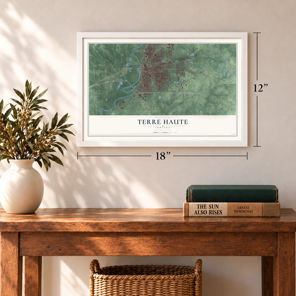
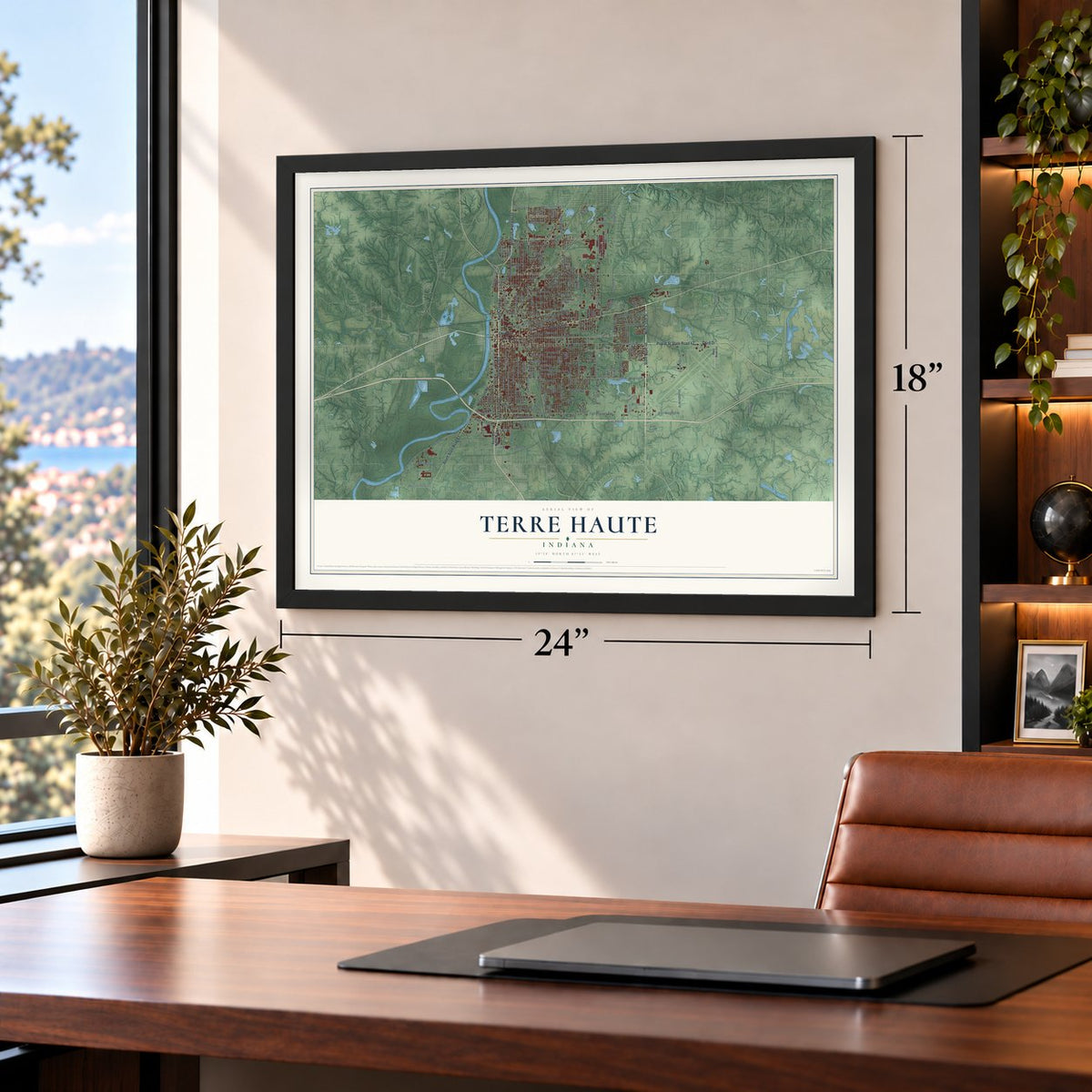
Three ways to hang it
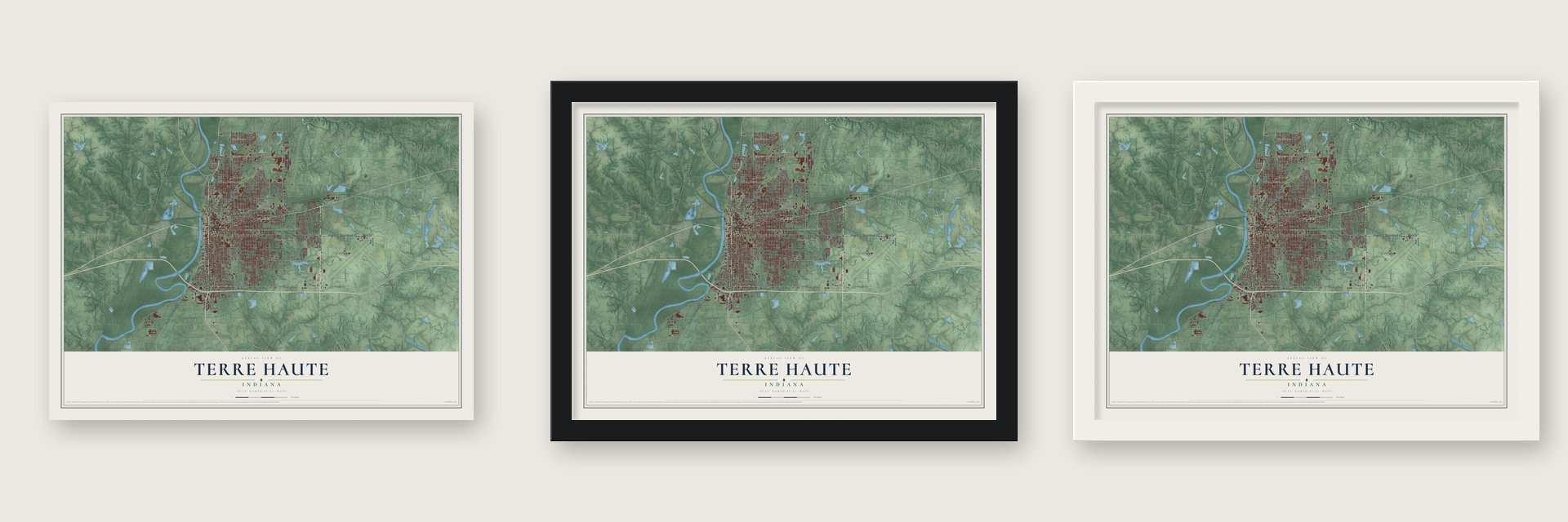
Unframed archival matte, a black wood frame or a white wood frame.
Up close
Geography Worth Displaying
This map was created using accurate cartographic data and authoritative geographic sources, including the U.S. Geological Survey and the Census Bureau. The map brings together terrain, waterways, roads, and building detail. The majority of the streets are labeled, houses are accurately depicted, and the topography is derived from government sources. Combining local data with carefully composed color and shading leads to this beautifully detailed Terre Haute artwork for your wall.
Rather than simply showing street outlines, we’ve included as many of the street names as we could reasonably fit on the map while keeping their names legible. Zoom in on the high resolution preview to see exactly what’s on the map. We truly set out to create a statement piece for anyone who loves Terre Haute. So whether it’s for you, or a gift for someone you love, we hope this map of Terre Haute brings back fond memories.
Read the story behind this map of Terre Haute, Indiana from 2026.
Find your street
Names on the Terre Haute map
Every name below is printed on this map. Look for your street, your school, the park where you played, or the pond down the road.
Places and landmarks8
- City Hall of Terre Haute
- Deming Park
- Deming Woods
- Duane Yards
- East Glenn
- Parkview
- Preston
- Twelve Points
Streets and roads215
- South Third Street
- Wabash Avenue
- Poplar Street
- Third Drive
- North 55th Street
- State Road 46
- State Road 42
- Cherry Street
- North Third Street
- State Road 63
- Prairieton Road
- North US Highway 41
- South State Road 63
- Ohio Street
- Maple Avenue
- Ohio Boulevard
- East Poplar Drive
- North Brown Avenue
- Sixth Avenue
- Locust Street
- Seventh Avenue
- North First Street
- Blakely Avenue
- Hulman Drive
- South Ninth Street
- Schulte Street
- North Fruitridge Avenue
- South First Street
- North Seventh Street
- 15th Drive
Show all 215 streets
- South Hunt Street
- Lafayette Avenue
- North 13th Street
- East Poplar Street
- North 25th Street
- North Hendricks
- East Margaret Avenue
- Margaret Avenue
- South Seventh Street
- East Margaret Drive
- North 14th Street
- South Fruitridge Avenue
- East Haythorne Avenue
- College Avenue
- North 15th Street
- South Sixth Street
- Washington Avenue
- Eighth Avenue
- Beech Street
- Justice Road
- Elm Street
- South 25th Street
- US Prison Road
- Crawford Street
- South 19th Street
- North Twelfth Street
- South 13th Street
- Linden Street
- Oak Street
- South Eighth Street
- North Ninth Street
- South Brown Avenue
- Park Street
- Buckeye Street
- South Center Street
- Tippecanoe Street
- Putnam Street
- Franklin Street
- North Sixth Street
- Third Avenue
- Deming Street
- South Tenth Street
- Idaho Street
- South 17th Street
- Florida Avenue
- Chestnut Street
- Spruce Street
- Cruft Street
- North 29th Street
- Wallace Avenue
- South 29th Street
- Indiana Avenue
- Ash Street
- East Wheeler Avenue
- East 30th Drive
- Lee Avenue
- West Bureau Drive
- Liberty Avenue
- West Lombardi Drive
- Woodbine Avenue
- Honey Creek Drive
- Gardendale Road
- Clay Avenue
- Boston Avenue
- Keane Lane
- Warren Street
- North 79th Street
- North 31st Street
- South Stultz Street
- Arleth Street
- Carl Avenue
- Aberdeen Street
- East Pugh Drive
- Riley Avenue
- Schaal Avenue
- Bill Farr Drive
- Royse Drive
- Third Place
- 35th Street
- South US Highway 41
- Dresser Drive
- East Heinl Drive
- South Fruitridge Street
- Fort Harrison Road
- North 16th Street
- North 23rd Street
- Fourth Avenue
- South Fifth Street
- North Fourth Street
- North 22nd Street
- South Twelfth Street
- North 24th Street
- South 23rd Street
- North 26th Street
- South 14th Street
- North Fifth Street
- Hulman Street
- Walnut Street
- Sycamore Street
- North 28th Street
- Grand Avenue
- South 24th Street
- Lockport Road
- Helen Avenue
- East Davis Drive
- Plum Street
- East Steelton Avenue
- Eagle Street
- South 27th Street
- Collett Avenue
- Berne Avenue
- Kussner Street
- North Detroit Street
- Chase Street
- West Margaret Avenue
- 32nd Street
- Hudson Avenue
- Sheridan Drive
- Orchard Street
- North Alexander Street
- East Lawrin Boulevard
- Haythorne Avenue
- North Center Street
- South Palmer Street
- Stewart Street
- Park Lane
- Paul Dresser Avenue
- Heritage Lane East
- Dobbs Glen Street
- Maiden Lane
- Valley Road
- Cross Lane
- East Sony Drive
- Avalon Drive
- Villa Lane
- Cedar Street
- Rice Road
- Zoe Lane
- Ion Street
- State Road 342
- Deming Drive
- Bourne Avenue
- North Eleventh Street
- South 21st Street
- North 27th Street
- North 17th Street
- First Avenue
- Penn Central RR Street
- Delaware Avenue
- North 30th Street
- Watertree Road
- Village Drive
- Adams Boulevard
- Lakeview Drive
- Berkley Avenue
- Potomac Avenue
- West Wheeler Avenue
- Country Club Road
- Central Avenue
- Rose Avenue
- Birch Run Road
- North 37th Street
- South 38th Street
- 45th Avenue
- New Margaret Drive
- South Fourth Street
- North Tenth Street
- South 22nd Street
- Center Street
- Harrison Avenue
- Dean Avenue
- Morton Street
- Birch Grove Street
- Hamilton Drive
- Sycamore Terrace Street
- Circle Street
- Thompson Street
- Marigold Drive
- Spang Street
- Peyton Avenue
- Sidenbender Road
- Crossland Road
- Oak Drive
- South Lea Lane
- Wren Road
Names are listed as they appear on the printed map. Zoom into the product photos to find them.
About Terre Haute, Indiana
Terre Haute is a city of 58,389 people and the seat of Vigo County, on the east bank of the Wabash River. French-Canadian explorers and fur trappers gave the place its name early in the 18th century. In French, terre haute means "highland," and the name described this high ground above the river. At that time France and Britain both claimed the area, and these heights marked the line between Canada and Louisiana.
Permanent settlement began when Fort Harrison went up in 1811. A Wea village already stood near the fort, and the orchards and meadows the Wea kept a few miles to the south became the site of the city. The village was platted in 1816, while it still belonged to Knox County, and two years later it became the seat of the new Vigo County. About 1,000 residents voted to incorporate in 1832, and Terre Haute became a city in 1853.
- State Normal School, 1870A state law passed in 1870 created the Indiana State Normal School, and the school was set up in Terre Haute that same year. More colleges followed, and the city became known as a place of learning. The State Normal Library is now on the National Register.
- The Easter Sunday tornadoAround 9:45 on the night of Easter Sunday, March 23, 1913, a tornado tore through the city. It destroyed more than 300 homes, killed 21 people and injured 250, the worst toll of any Indiana tornado up to that time. Heavy rain followed and the Wabash rose. By midday on March 25, West Terre Haute was three-quarters under water.
- The Four-Cornered RacetrackLaid out in 1886, the "Four-Cornered" Racetrack drew the finest trotting horses and drivers in the country. In the 1890s, streetcars and then electric trolleys carried crowds to the races, ball games, picnics and river trips. Memorial Stadium now stands on the old track's site.
- Records and compact discsNew factories arrived after World War II: Pfizer in 1948, Allis-Chalmers in 1951, Columbia Records in 1954 and Anaconda Aluminum in 1959. Later, Sony's Digital Audio Disc Corporation opened a plant here that was the first in America designed only to make compact discs.
Keep exploring Indiana
Terre Haute is one of 1,023 Indiana towns we've mapped. Every dot on the map is a print of its own.
The search covers every state, Indiana first.
Near Terre Haute
Order 2 or more town maps and save 10%. Shown in the size and finish you picked above, so they hang as a set.
- Dresser 12" x 18" / Archival Matte Print $39.99
- West Terre Haute 12" x 18" / Archival Matte Print $39.99
- Toad Hop 12" x 18" / Archival Matte Print $39.99

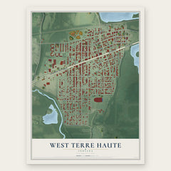
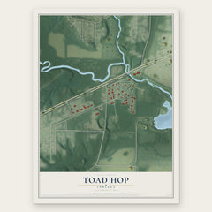
More maps nearby: North Terre Haute, St. Mary of the Woods, Lakewood, Seelyville and Riley.
The art of mapping a place
How This Map Was Made
Real places. Remarkable detail. Discover the layers that turn geographic data into a map of home.

The view from above
Aerial imagery reveals the character of the land: woodland, open fields, and the patterns of a place.

The shape of the land
Elevation data brings hills, valleys, and subtle changes in the landscape into view.

The details of home
Roads, waterways, and building footprints come together to make the map feel unmistakably local.

Geography becomes art
Considered color, shading, and typography bring the layers together in a map made for your wall.


Process illustrated with Mendon, Massachusetts. Aerial imagery: USDA NAIP. Terrain: USGS 3D Elevation Program. Map details and finished artwork: KNOWOL.
The Details
About This Print
Choose an archival matte print, or a black or white Ayous wood frame. The archival matte print is unframed.
Select your size and finish above to see the matching product image and price.
Materials & Craftsmanship
A contemporary map with the character of a classic atlas, printed on archival matte paper. Optional frames are made from Ayous wood.
Your printed map does not include the watermark shown in the full-map preview.
Shipping & Delivery
Free shipping within the United States. Every print is made to order in the USA.
Buying a gift? Add a note in your cart and we'll include it. We never put prices in the package.
Prints ship within 2 to 3 business days. Allow 7 to 10 days total from ordering for delivery. Timing may vary during holidays or periods of high order volume.
Read our shipping policy.
Returns and damaged prints
Each print is made to order. Change-of-mind refunds are not available after production.
If your print arrives damaged, misprinted or incorrect, contact support@knowol.com within 30 days of receiving it. Include your order number, photos and a description of the issue.
Read our full refund and replacement policy. For questions about your order, email support@knowol.com.