
Search for another town


Free U.S. delivery 7 to 10 days after you order
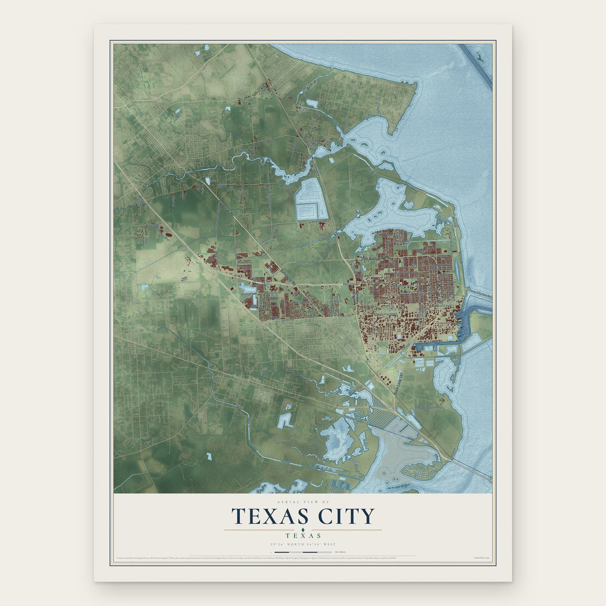
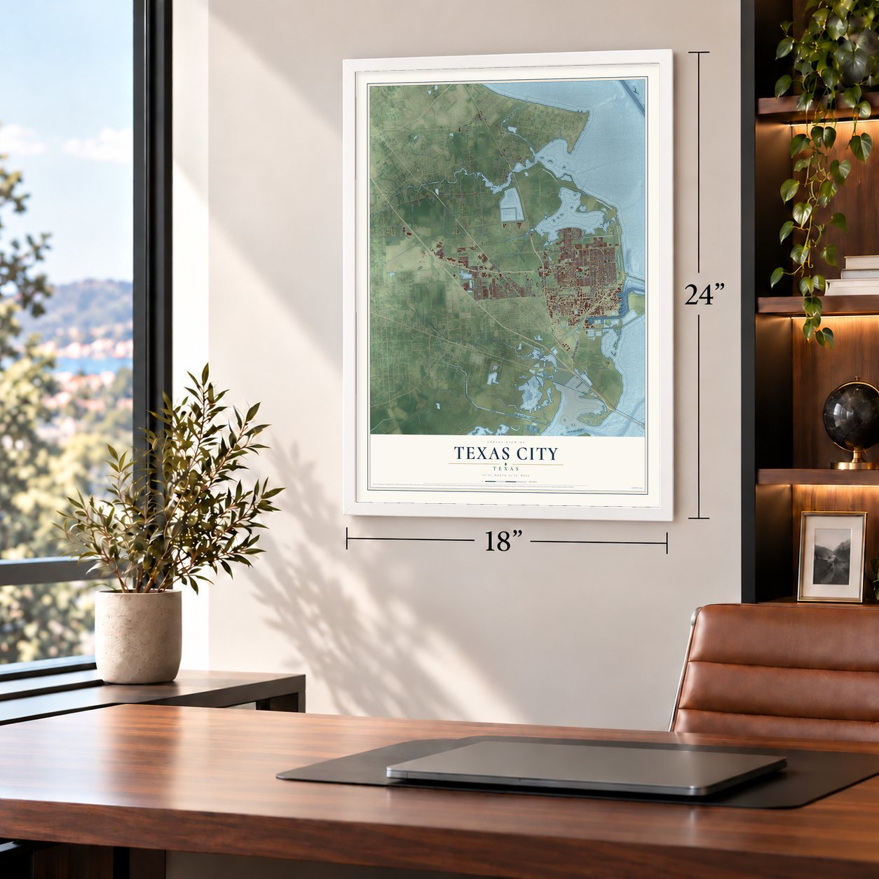
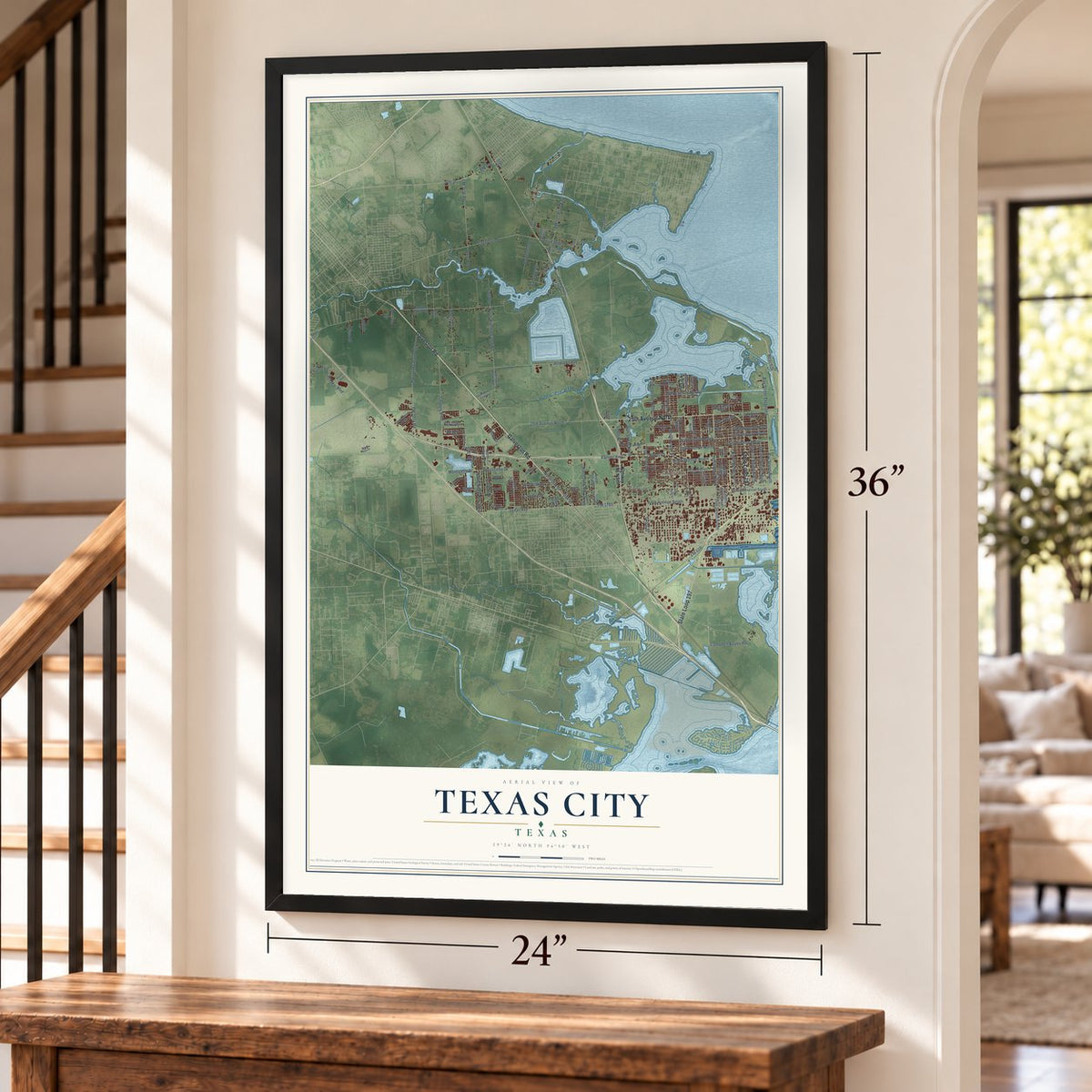
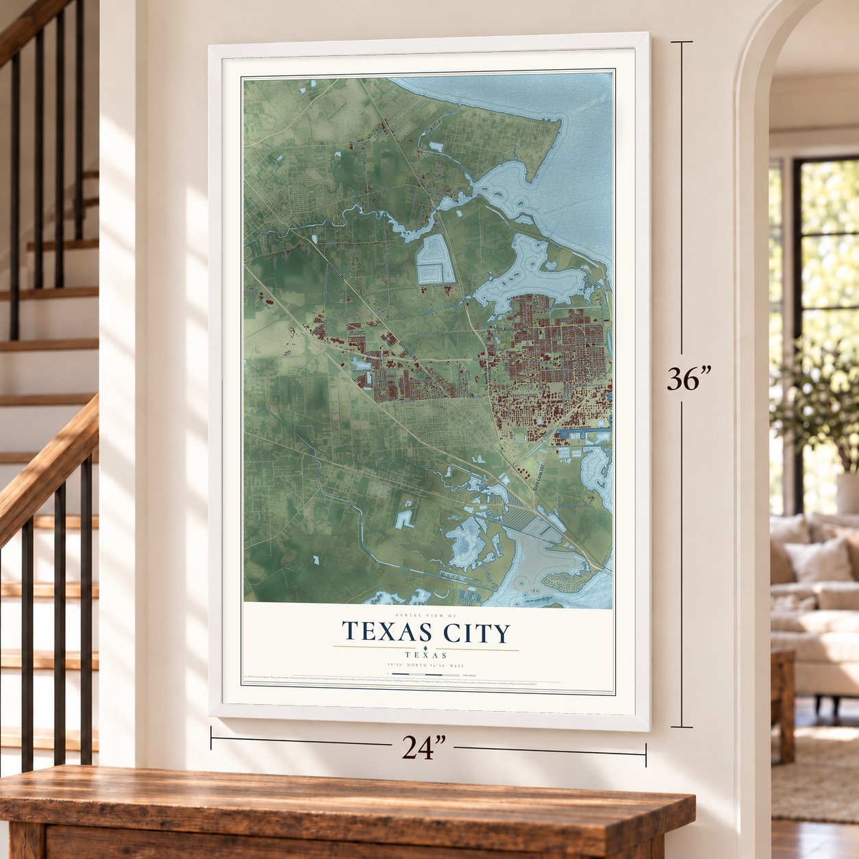
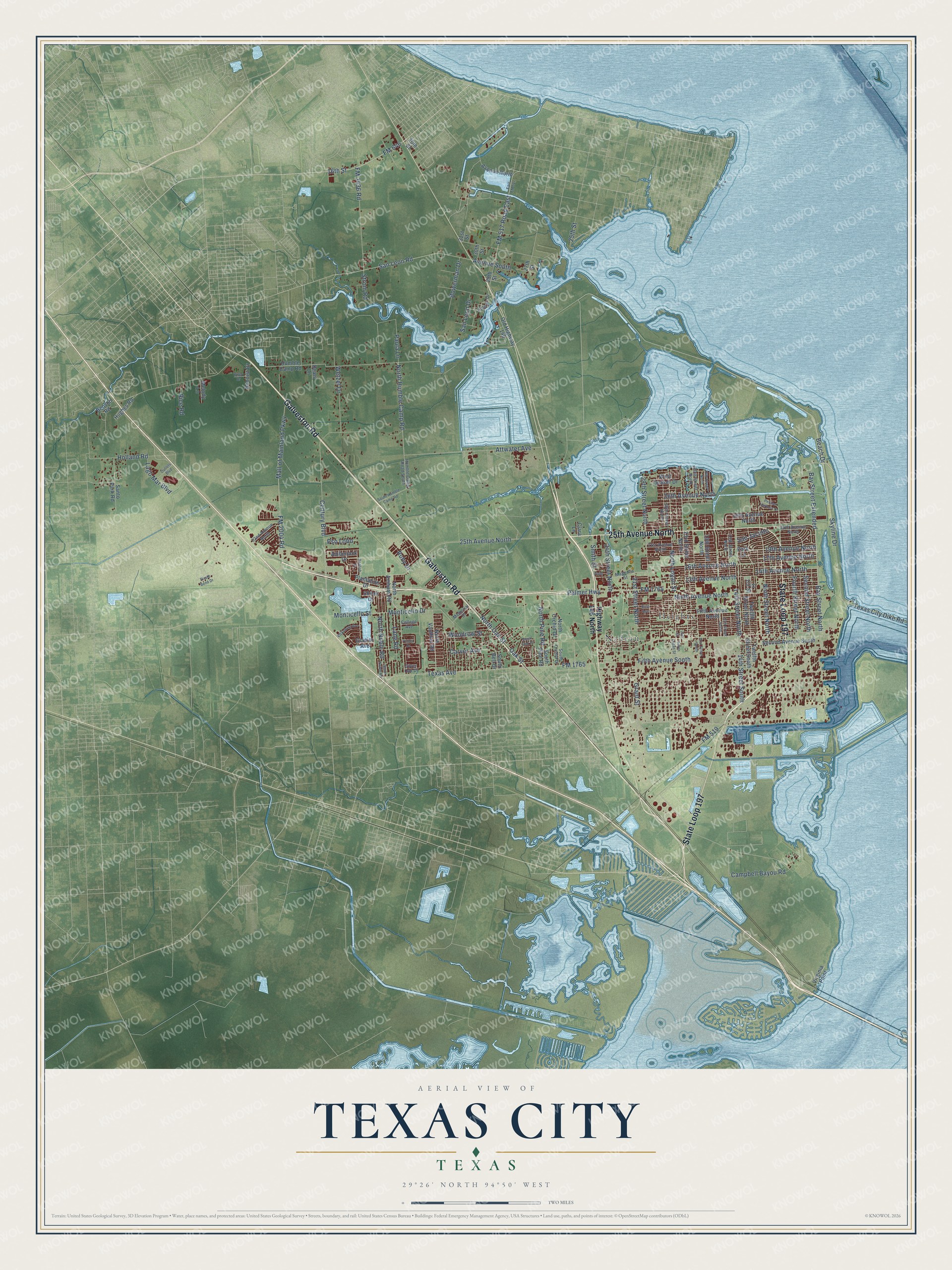
Texas City, Texas Map Art
Building by building, with labeled streets and shaded relief.
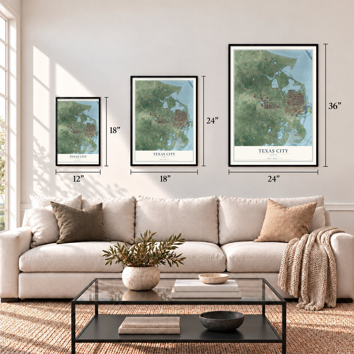
12" x 18" Archival Matte Print
A Map of Home. A Work of Art.
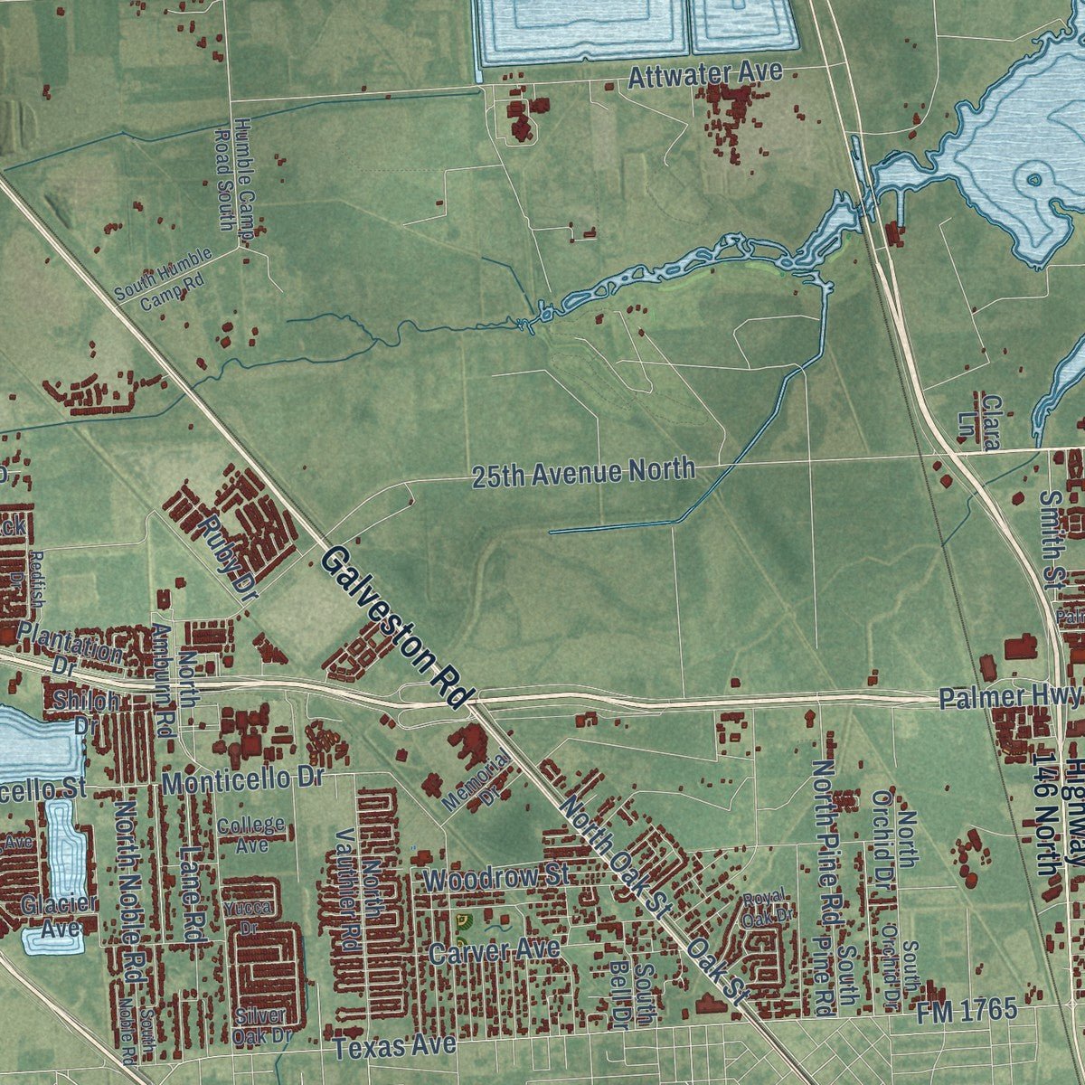
Explore Texas City, Texas from a whole new perspective. Created using aerial imagery and detailed geographic data, this map captures Texas City building by building, with labeled streets, familiar landmarks, and shaded topographical relief that highlights the natural contours of the landscape.
Combining modern data with the timeless character of a vintage atlas, this map is just as interesting up close as it is beautiful on the wall. Whether you grew up in Texas City, spent memorable years there, or call it home today, this unique map is a great way to celebrate a place that means something to you. Zoom in on the preview to look for your street, and then order a print to put your memories on the wall.
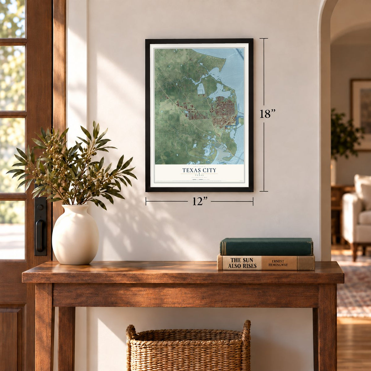
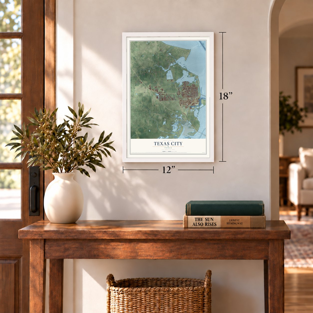
Three ways to hang it
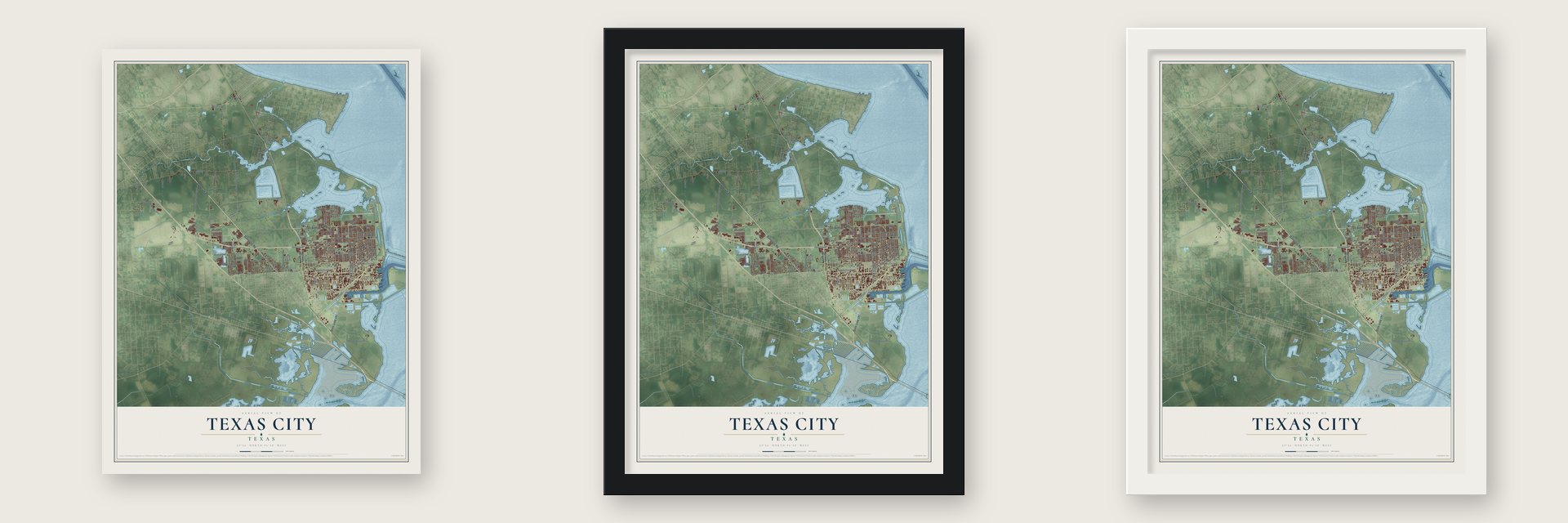
Unframed archival matte, a black wood frame or a white wood frame.
Up close
Geography Worth Displaying
This map was created using accurate cartographic data and authoritative geographic sources, including the U.S. Geological Survey and the Census Bureau. The map brings together terrain, waterways, roads, and building detail. The majority of the streets are labeled, houses are accurately depicted, and the topography is derived from government sources. Combining local data with carefully composed color and shading leads to this beautifully detailed Texas City artwork for your wall.
Rather than simply showing street outlines, we’ve included as many of the street names as we could reasonably fit on the map while keeping their names legible. Zoom in on the high resolution preview to see exactly what’s on the map. We truly set out to create a statement piece for anyone who loves Texas City. So whether it’s for you, or a gift for someone you love, we hope this map of Texas City brings back fond memories.
Read the story behind this map of Texas City, Texas from 2026.
Find your street
Names on the Texas City map
Every name below is printed on this map. Look for your street, your school, the park where you played, or the pond down the road.
Places and landmarks2
- Heights
- Nadeau
Streets and roads131
- 25th Avenue North
- State Loop 197
- Galveston Road
- Beach Drive
- FM 646
- Bay Street North
- Bay Street Extended
- 16th Street
- North Humble Camp Road
- Texas Avenue
- FM 517 Road East
- Mall of Mainland Parkway
- 14th Street South
- 14th Street North
- 14th Avenue North
- Attwater Avenue
- Century Boulevard
- FM 519
- Skyline Drive
- FM 1765
- Campbell Bayou Road
- FM 1764
- Ninth Avenue North
- Palmer Highway
- 13th Avenue North
- 19th Avenue North
- FM 2004 Road
- 29th Street North
- 16th Avenue North
- North Logan Street
Show all 131 streets
- Fifth Avenue South
- Ninth Street North
- 17th Avenue North
- 34th Street North
- Fourth Street North
- Grant Street
- Monticello Drive
- Monticello Street
- Texas City Dike Road
- FM 3436 Road
- San Leon Road
- Second Street North
- Wetzel Drive
- Holland Road
- North Oak Street
- Carver Avenue
- 31st Street North
- North Noble Road
- Woodrow Street
- 36th Avenue North
- North Pine Road
- Bowerman Drive
- Avenue South
- Smith Street
- Lago Mar Boulevard
- Lane Road
- San Leon Drive
- Paula Lane
- San Jacinto
- 25th Street
- Pso Lobo
- Ruby Drive
- Strom Road
- Rice Road
- Oak Street
- Highway 146 North
- Fifth Avenue North
- 23rd Street North
- Second Avenue South
- 19th Street North
- 28th Avenue North
- North Amburn Road
- Santo Park Road
- Avenue North
- Twelfth Street North
- 29th Street
- North Vauthier Road
- Humble Camp Road
- Hughes Road
- Old Highway 146
- Twelfth Street South
- 27th Street
- North Orchid Drive
- Benoist Drive
- Amberjack Drive
- Plantation Drive
- West Quaker Drive
- Virginia Point
- 20th Street
- Shiloh Drive
- Benson Road
- Melody Lane
- Glacier Avenue
- South Pine Road
- Park Lane
- South Bell Drive
- Deats Lane
- 30th Street
- 31st Street
- Clara Lane
- Humble Camp Road South
- 21st Avenue North
- 15th Street North
- 26th Street North
- 24th Avenue North
- 32nd Avenue North
- Magnolia Street
- 20th Street North
- Hillman Drive
- Memorial Drive
- South Orchid Drive
- College Avenue
- Silver Oak Drive
- South Humble Camp Road
- Pirate Bend Drive
- East FM 517
- 16th Street North
- 18th Street North
- Pelican Harbour Drive
- South Logan Street
- Royal Oak Drive
- Vicksburg Avenue
- 21st Street South
- Redfish Drive
- Outlets Boulevard
- South Noble Road
- Palm
- Rust Avenue
- Utley Drive
- Yucca Drive
- 24th Street
Names are listed as they appear on the printed map. Zoom into the product photos to find them.
About Texas City, Texas
Texas City is a city of 51,898 people in Galveston County, on the southwestern shore of Galveston Bay. In 1891 three brothers from Duluth, Minnesota, Jacob, Henry and Benjamin Myers, came to the Shoal Point marshes to hunt ducks and decided the shore could hold a major port. Other Duluth shippers joined them in buying 10,000 acres of bay frontage, and they gave the place a new name, Texas City.
The Texas City Improvement Company filed the townsite plat on May 17, 1893, and about 250 settlers, mostly from Minnesota and Michigan, soon arrived. The company dredged an eight-foot channel, handled its first shipment in September 1894 and laid a four-mile rail line to the main railroads. It went into receivership on December 7, 1897, but two new companies carried on, and ships at the docks grew from twelve in 1904 to 239 in 1910. The city incorporated on September 16, 1911.
“the town that would not die”
- The first postmaster's houseFrank B. Davison was the first postmaster when the post office opened in 1893, and he later served as one of the city's first commissioners. His home, built between 1895 and 1897, saw the first birth in the new town. The Frank B. Davison House joined the National Register in 1976.
- An Army camp in 1913In 1913 the Second Division of the U.S. Army came to the small port to protect American interests while revolution shook Mexico, bringing 14,000 troops, 3,000 animals and the First Aero Squadron. A hurricane in August 1915 wrecked the camp and killed nine soldiers. The Army moved the camp to San Antonio, and the town felt the loss as a severe economic blow.
- Hugh B. Moore's portThe Texas City Railway Terminal Company gained control of the port in 1921, and Hugh B. Moore became its president. He brought in a sugar refinery, a fig-preserving plant, a grain elevator and tank farms for five oil companies. In 1934 he outbid the Houston Ship Channel for the Pan-America Refinery because Texas City sat closer to the Gulf. The Col. Hugh B. and Helen Moore House joined the National Register in 1994.
- April 16, 1947The French ship Grandcamp, carrying ammonium nitrate fertilizer, blew up in the harbor and set off fires in the plants along the docks and the explosion of another ship. The Handbook of Texas counts 576 dead, more than 4,000 injured and over $67 million in damage. The businesses stayed and rebuilt, and by 1960 the city had 32,065 people, nearly twice its 1950 count.
- A seawall after CarlaHurricane Carla put four feet of water over much of the city in 1961. Work started in 1962 on a twenty-three-foot barrier, and its last section was finished in 1985. In 1982 the city added an eight-foot inner levee on Moses Lake with Archimedes screw pumps, and it turned Moses Lake and the Texas City Dike into places for recreation.
Keep exploring Texas
Texas City is one of 2,049 Texas towns we've mapped. Every dot on the map is a print of its own.
The search covers every state, Texas first.
Near Texas City
Order 2 or more town maps and save 10%. Shown in the size and finish you picked above, so they hang as a set.
- San Leon 12" x 18" / Archival Matte Print $39.99
- La Marque 12" x 18" / Archival Matte Print $39.99
- Bacliff 12" x 18" / Archival Matte Print $39.99
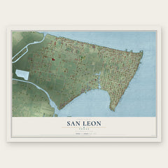
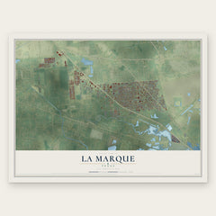
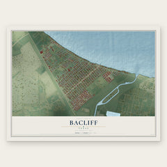
More maps nearby: Bayou Vista, Tiki Island, Dickinson, Kemah and Bolivar Peninsula.
The art of mapping a place
How This Map Was Made
Real places. Remarkable detail. Discover the layers that turn geographic data into a map of home.

The view from above
Aerial imagery reveals the character of the land: woodland, open fields, and the patterns of a place.

The shape of the land
Elevation data brings hills, valleys, and subtle changes in the landscape into view.

The details of home
Roads, waterways, and building footprints come together to make the map feel unmistakably local.

Geography becomes art
Considered color, shading, and typography bring the layers together in a map made for your wall.


Process illustrated with Mendon, Massachusetts. Aerial imagery: USDA NAIP. Terrain: USGS 3D Elevation Program. Map details and finished artwork: KNOWOL.
The Details
About This Print
Choose an archival matte print, or a black or white Ayous wood frame. The archival matte print is unframed.
Select your size and finish above to see the matching product image and price.
Materials & Craftsmanship
A contemporary map with the character of a classic atlas, printed on archival matte paper. Optional frames are made from Ayous wood.
Your printed map does not include the watermark shown in the full-map preview.
Shipping & Delivery
Free shipping within the United States. Every print is made to order in the USA.
Buying a gift? Add a note in your cart and we'll include it. We never put prices in the package.
Prints ship within 2 to 3 business days. Allow 7 to 10 days total from ordering for delivery. Timing may vary during holidays or periods of high order volume.
Read our shipping policy.
Returns and damaged prints
Each print is made to order. Change-of-mind refunds are not available after production.
If your print arrives damaged, misprinted or incorrect, contact support@knowol.com within 30 days of receiving it. Include your order number, photos and a description of the issue.
Read our full refund and replacement policy. For questions about your order, email support@knowol.com.