
Search for another town





Free U.S. delivery 7 to 10 days after you order
Thibodaux, Louisiana Map Art
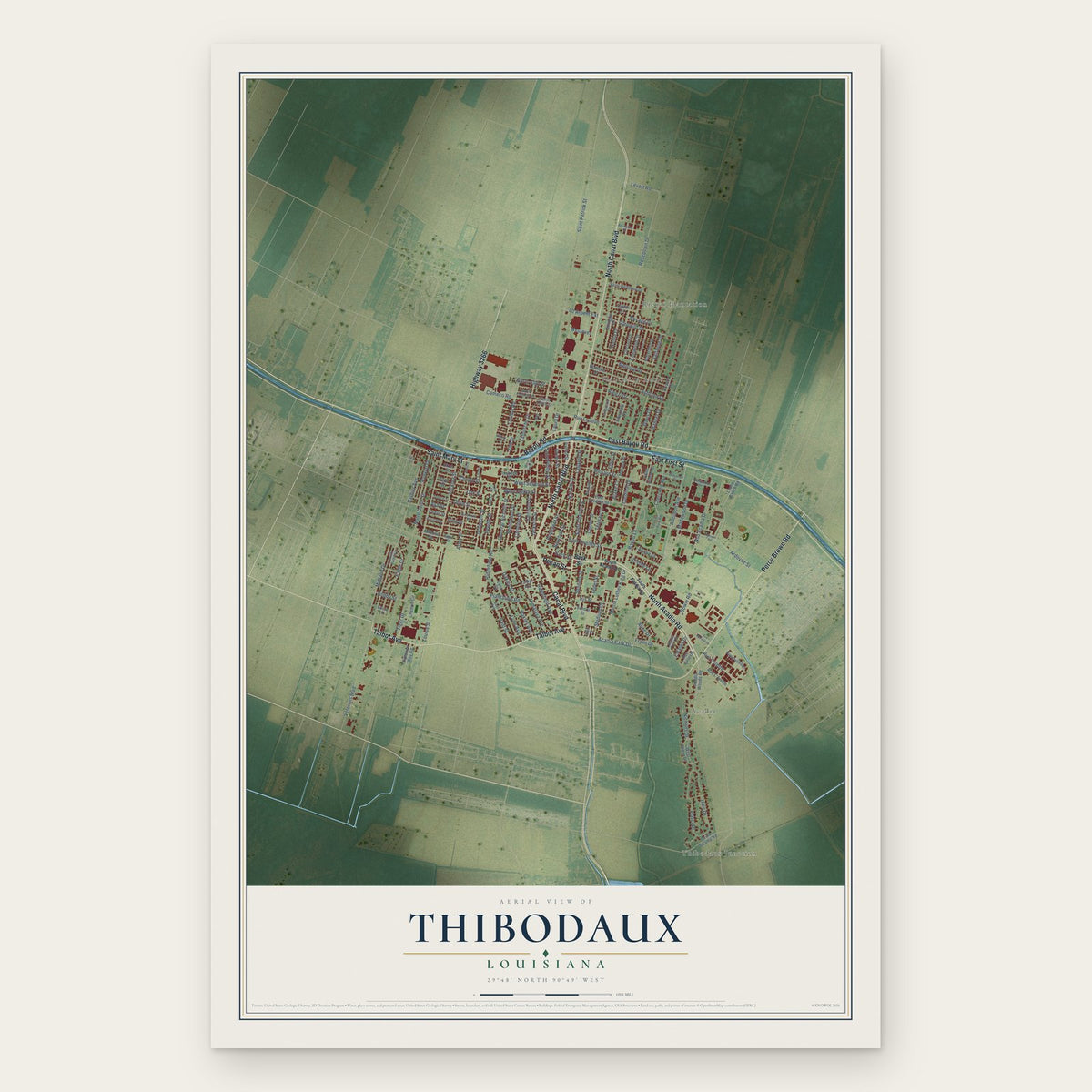
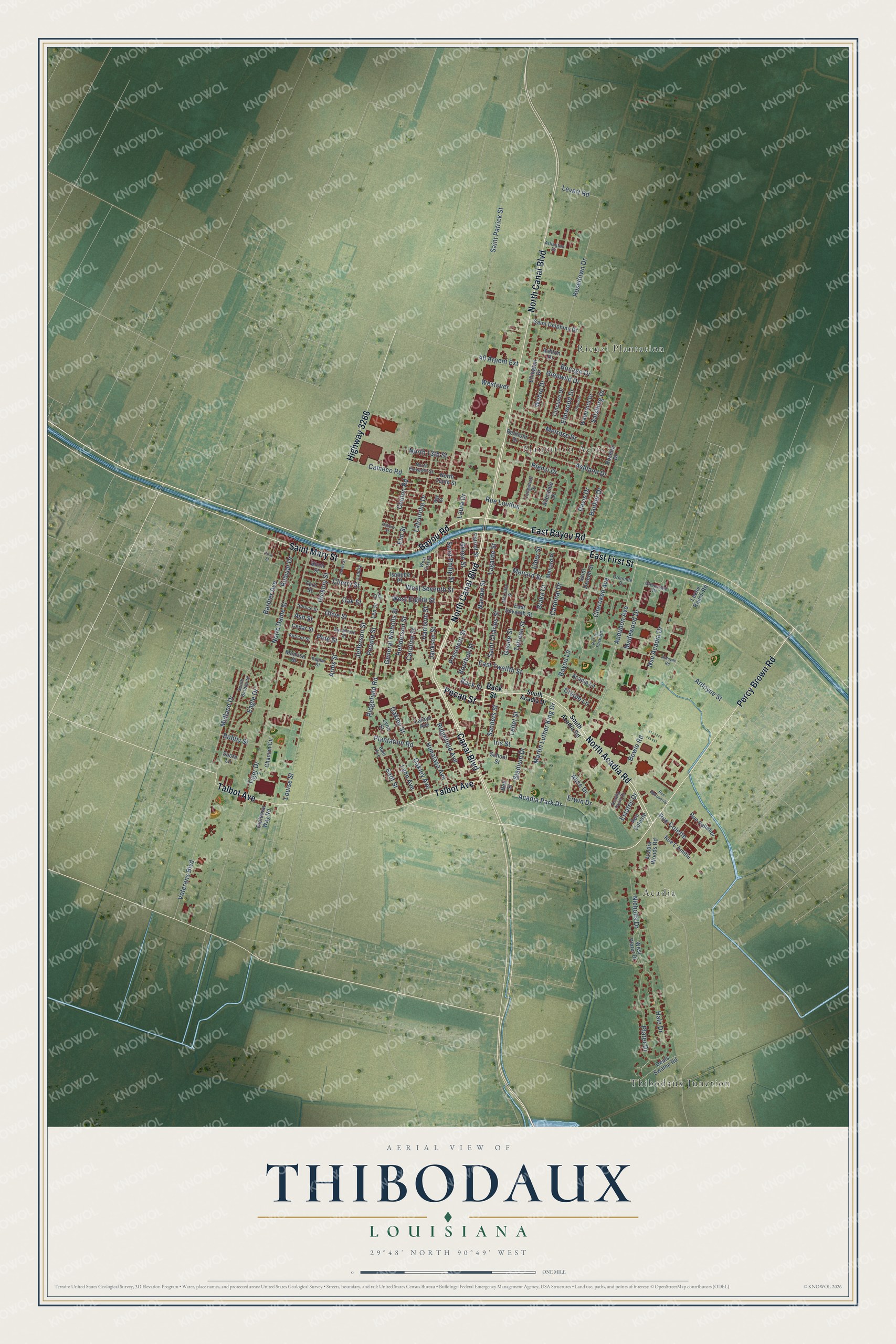
A new map of Thibodaux, Louisiana, made in 2026 and printed to order on thick archival matte paper.
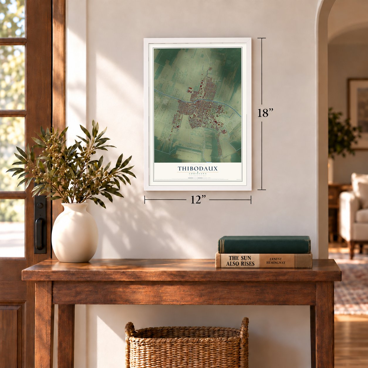
12" x 18" Archival Matte Print
A Map of Home. A Work of Art.
Explore Thibodaux, Louisiana from a whole new perspective. Created using aerial imagery and detailed geographic data, this map captures Thibodaux building by building, with labeled streets, familiar landmarks, and shaded topographical relief that highlights the natural contours of the landscape.
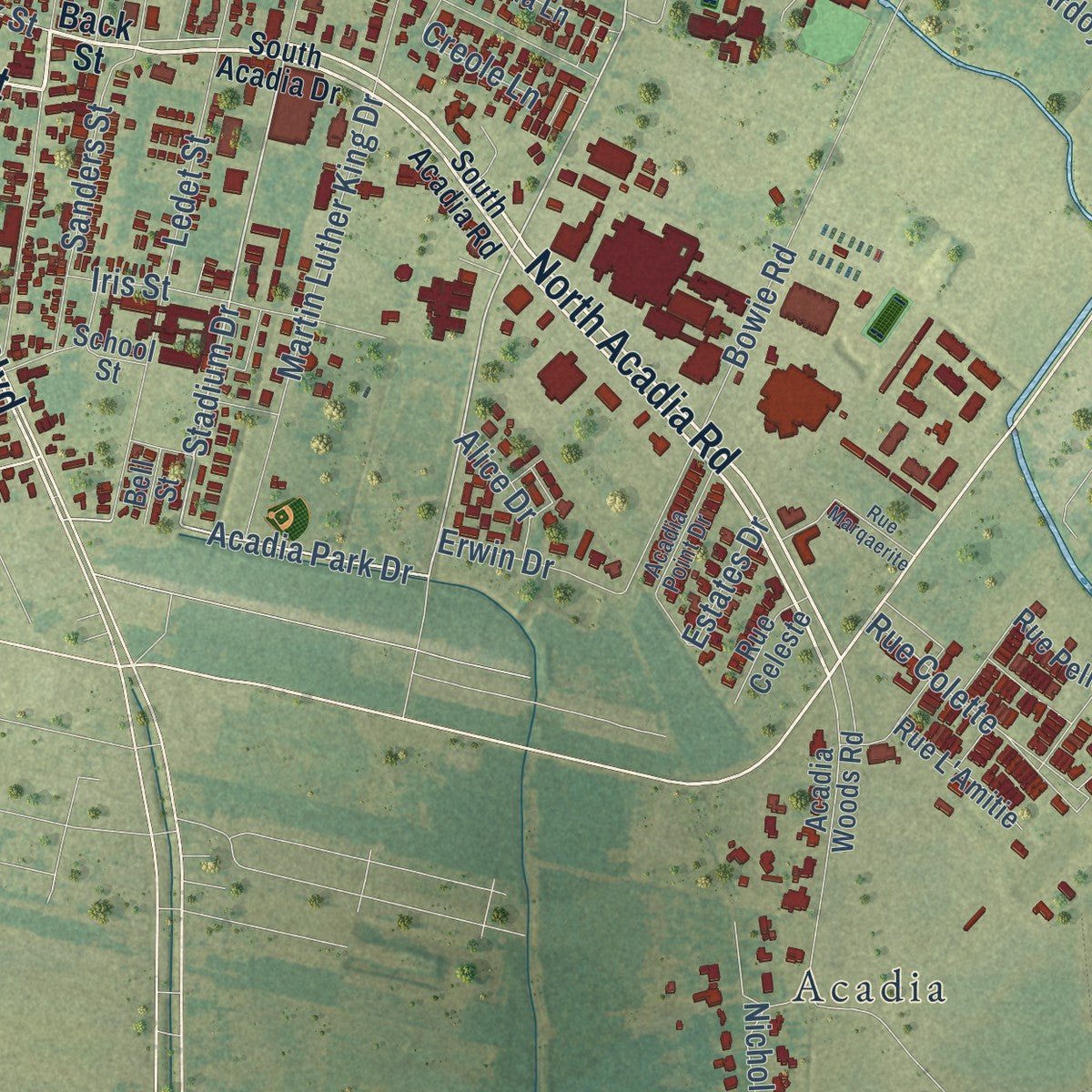
Combining modern data with the timeless character of a vintage atlas, this map is just as interesting up close as it is beautiful on the wall. Whether you grew up in Thibodaux, spent memorable years there, or call it home today, this unique map is a great way to celebrate a place that means something to you. Zoom in on the preview to look for your street, and then order a print to put your memories on the wall.
Three ways to hang it
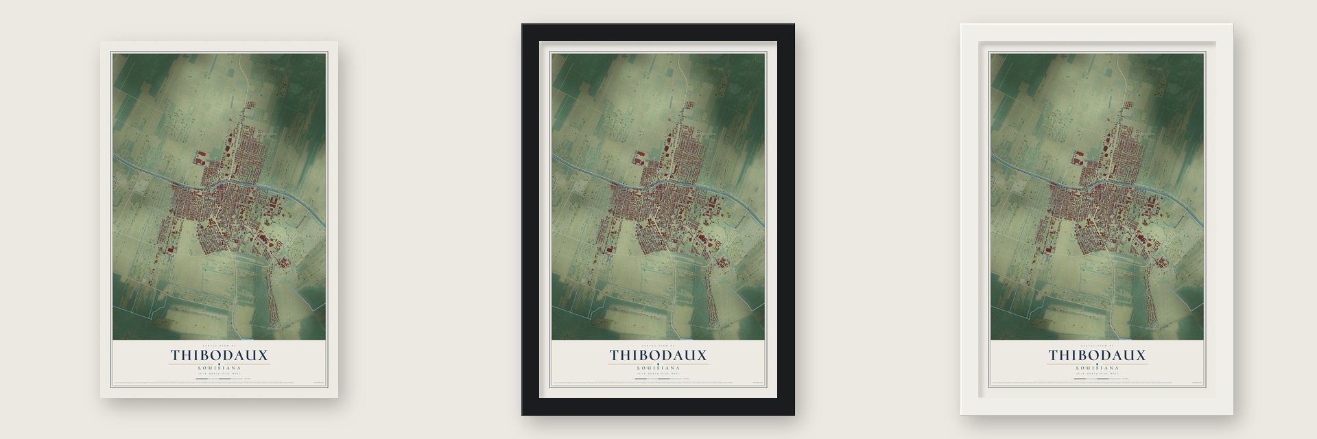
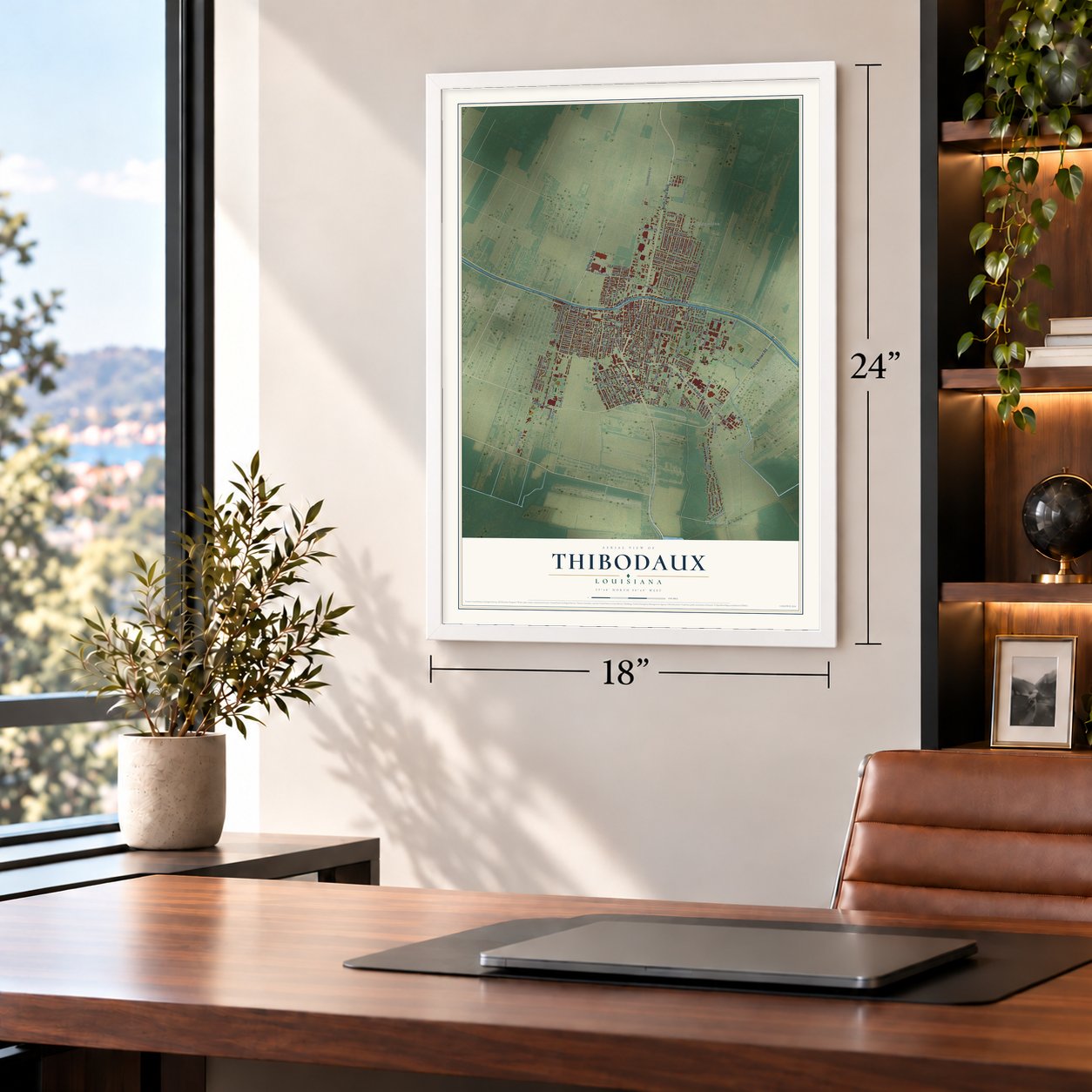
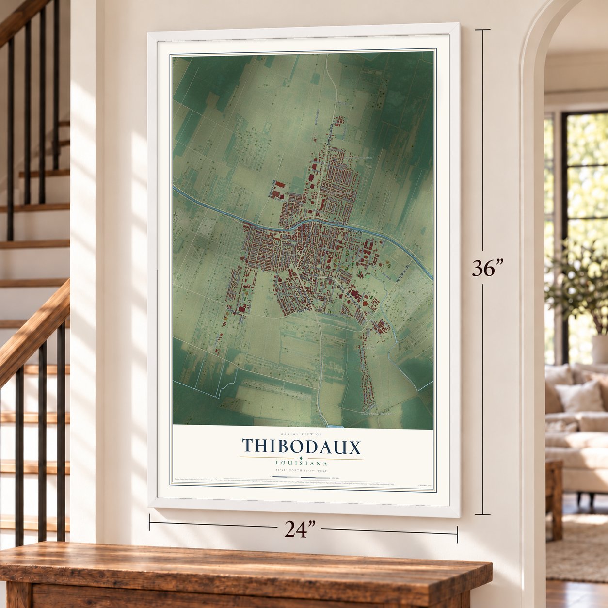
Unframed archival matte, a black wood frame or a white wood frame.
Up close
Geography Worth Displaying
This map was created using accurate cartographic data and authoritative geographic sources, including the U.S. Geological Survey and the Census Bureau. The map brings together terrain, waterways, roads, and building detail. The majority of the streets are labeled, houses are accurately depicted, and the topography is derived from government sources. Combining local data with carefully composed color and shading leads to this beautifully detailed Thibodaux artwork for your wall.
Rather than simply showing street outlines, we’ve included as many of the street names as we could reasonably fit on the map while keeping their names legible. Zoom in on the high resolution preview to see exactly what’s on the map. We truly set out to create a statement piece for anyone who loves Thibodaux. So whether it’s for you, or a gift for someone you love, we hope this map of Thibodaux brings back fond memories.
Read the story behind this map of Thibodaux, Louisiana from 2026.

About Thibodaux, Louisiana
Thibodaux is a city of 15,948 people and the seat of Lafourche Parish, on the west bank of Bayou Lafourche. A trading post and small village stood here by 1808, close to where Bayou Lafourche meets Bayou Terrebonne, and James Carr built the first house on the town site in 1819.
Henry S. Thibodaux, a planter and the son of Acadian exiles, laid out the town around 1820. He gave two squares of land for a courthouse and jail, plus a site for a market house, and in 1824 he served as acting governor of Louisiana. The town was incorporated on March 6, 1830, as Thibodauxville, with James McAllister as its first mayor. Its name was shortened in 1838, and because sugar cane plantations surrounded it, Thibodaux grew into the trading center of the region.
“The cowardly Yankees could have killed all of us while we were crossing the bridge of [Thibodaux] but they only fired three rounds before they skedaddled and then such a yell; In one hour after we entered the town, the victory was ours”
- Texas cavalry in 1863Union troops occupied Thibodaux until June 20, 1863, when Texas Confederate cavalry charged over the rebuilt Jackson Street bridge and captured the town. On July 1, trooper Frank Price wrote to his sister about the charge and praised the courage of his horse, Rowdy.
- The strike and massacre of 1887On November 1, 1887, about ten thousand sugar workers organized by the Knights of Labor struck at harvest for an end to plantation scrip, a small raise and pay every two weeks. Governor John McEnery sent militia to evict strikers, and many families crowded into the town's Black section. On or about November 22, after two white guards were fired on, vigilantes killed at least thirty-five Black workers, perhaps three hundred. Cane workers didn't organize again until the 1940s.
- Louisiana's first rural mail routeRural free delivery of mail began in Thibodaux in 1896. It was the first such route in Louisiana and only the second in the United States.
- Saint Valérie's arm boneA life-sized reliquary of Saint Valérie, an early Christian martyr, came to Thibodaux in 1868 holding a bone from her arm. It rests in her shrine at St. Joseph Co-Cathedral, near a smaller relic of her husband, Saint Vitalis of Milan, and the town has long prayed to her for protection from hurricanes.
- A bishop's church on Jackson StreetBishop Leonidas Polk founded St. John's Episcopal Church on Jackson Street. General Braxton Bragg, whose plantation Bivouac lay just north of town, worshiped there with his wife, and Francis T. Nicholls, twice governor of Louisiana, is buried in its cemetery.
Find your street
Names on the Thibodaux map
Every name below is printed on this map. Look for your street, your school, the park where you played, or the pond down the road.
Places and landmarks4
- Acadia
- Plantation Acres
- Rienzi Plantation
- Thibodaux Junction
Streets and roads162
- Bayou Road
- Pecan Street
- North Canal Boulevard
- Canal Boulevard
- North Acadia Road
- Percy Brown Road
- Saint Mary Street
- East First Street
- Talbot Avenue
- East Bayou Road
- Highway 3266
- Audubon Avenue
- Cardinal Drive
- Acadia Park Drive
- Stadium Drive
- Back Street
- Tiger Drive
- Himalaya Avenue
- Ardoyne Street
- Saint Patrick Street
- Rosedown Drive
- Bowie Road
- Saint Charles Street
- Plantation Road
- Ridgefield Road
- Goode Street
- Rienzi Drive
- Tetreau Street
- Narrow Street
- Veterans Boulevard
Show all 162 streets
- Cherokee Avenue
- Bayou Lane
- Ridgefield Avenue
- Lagarde Street
- Louise Street
- Menard Street
- Madewood Drive
- Ledet Street
- Nsu Acadia Drive
- Hickory Street
- Notre Dame Street
- Plater Drive
- Coulon Road
- East Twelfth Street
- Jackson Street
- Ashland Drive
- Lafourche Drive
- Levert Road
- Martin Luther King Drive
- Midland Drive
- President Street
- Hale Drive
- Oakley Avenue
- Oakley Street
- Arms Street
- Glenwild Drive
- Rue Colette
- Jefferson Street
- Melrose Drive
- Elmwood Drive
- West Seventh Street
- Rue Loudun
- Erwin Drive
- Saint Philip Street
- Caroline Street
- General Nicholls Street
- West Eighth Street
- Iris Street
- Eagle Drive
- Sanders Street
- Lynn Avenue
- Harrison Street
- Cameco Road
- Oak Street
- Henderson Street
- People Street
- Nicholls Drive
- Davis Drive
- Banker Drive
- North 13th Street
- Badt Street
- Green Street
- Webre Drive
- Olive Street
- Barbier Avenue
- 40 Arpent Extension
- Bourbon Street
- Rubyiat Drive
- Pine Street
- Salsburg Drive
- Bobby Street
- Cherry Street
- Bocage Drive
- Elm Street
- Westover
- Creole Lane
- Blake Court
- Estates Drive
- Alice Drive
- Elder Street
- Laura Drive
- Ash Street
- Acadia Woods Road
- West Plater Drive
- East Seventh Street
- Belmont Drive
- North Tenth Street
- Deuls Swamp Road
- Lafaye Avenue
- Rue Pelletier
- Cedar Street
- Saint Delphine Drive
- Ellington Drive
- Lynn Street
- Waterford Drive
- Cinclare Drive
- Leche Ranch Road
- Chauvin Circle
- Saint Joseph Street
- Rue L'Amitie
- Acadia Lane
- School Street
- Rosella Drive
- Rue Celeste
- Diplomat Way Road
- Menard Place
- Allendale Drive
- Birch Street
- Patriot Street
- Ashton Drive
- Mimosa Street
- Isabelle Place
- Fern Street
- Sucre Lane
- Len Street
- Bell Street
- South Acadia Drive
- South Acadia Road
- West First Street
- South Barbier Street
- McCulla Street
- Peltier Park Road
- Poplar Street
- Acadia Point Drive
- Sycamore Street
- North Eleventh Street
- Ormonde Drive
- Glenwood Drive
- Longwood Drive
- Apricot Street
- Landry
- Spruce Street
- Badt Avenue
- Arlington Drive
- Len Court
- Bay Street
- Ardoyne Road
- Union Drive
- Rue Marqaerite
- Alwes Street
- Vallery Street
- First Street
Names are listed as they appear on the printed map. Zoom into the product photos to find them.
The art of mapping a place
How This Map Was Made
Real places. Remarkable detail. Discover the layers that turn geographic data into a map of home.

The view from above
Aerial imagery reveals the character of the land: woodland, open fields, and the patterns of a place.

The shape of the land
Elevation data brings hills, valleys, and subtle changes in the landscape into view.

The details of home
Roads, waterways, and building footprints come together to make the map feel unmistakably local.

Geography becomes art
Considered color, shading, and typography bring the layers together in a map made for your wall.


Process illustrated with Mendon, Massachusetts. Aerial imagery: USDA NAIP. Terrain: USGS 3D Elevation Program. Map details and finished artwork: KNOWOL.
The Details
About This Print
Choose an archival matte print, or a black or white Ayous wood frame. The archival matte print is unframed.
Select your size and finish above to see the matching product image and price.
Materials & Craftsmanship
A contemporary map with the character of a classic atlas, printed on archival matte paper. Optional frames are made from Ayous wood.
Your printed map does not include the watermark shown in the full-map preview.
Shipping & Delivery
Free shipping within the United States. Every print is made to order in the USA.
Buying a gift? Add a note in your cart and we'll include it. We never put prices in the package.
Prints ship within 2 to 3 business days. Allow 7 to 10 days total from ordering for delivery. Timing may vary during holidays or periods of high order volume.
Read our shipping policy.
Returns and damaged prints
Each print is made to order. Change-of-mind refunds are not available after production.
If your print arrives damaged, misprinted or incorrect, contact support@knowol.com within 30 days of receiving it. Include your order number, photos and a description of the issue.
Read our full refund and replacement policy. For questions about your order, email support@knowol.com.
Find your town
Looking for another city?
Find a map of home in our Louisiana collection, or any town in the country.
Nearby
Maps of towns near Thibodaux
Know someone from one of these towns? Their map makes a great gift.
 Bayou Country Club
, Louisiana
From $39.99See the map
 Lafourche Crossing
, Louisiana
From $39.99See the map
 Chackbay
, Louisiana
From $39.99See the map
More maps nearby: Schriever, Choctaw, Gray, Labadieville and Supreme.