
Search for another town

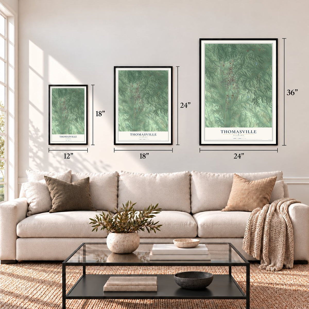

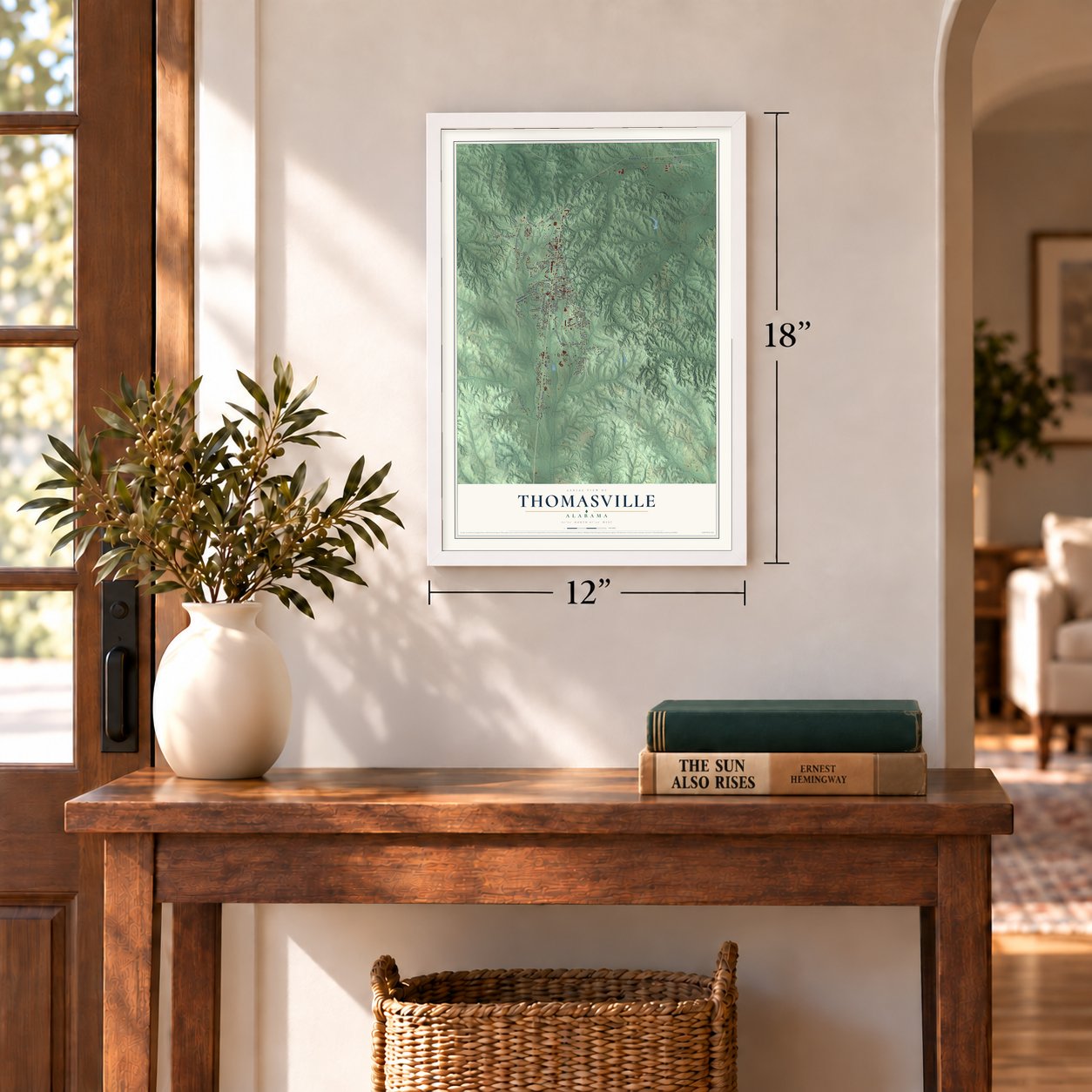

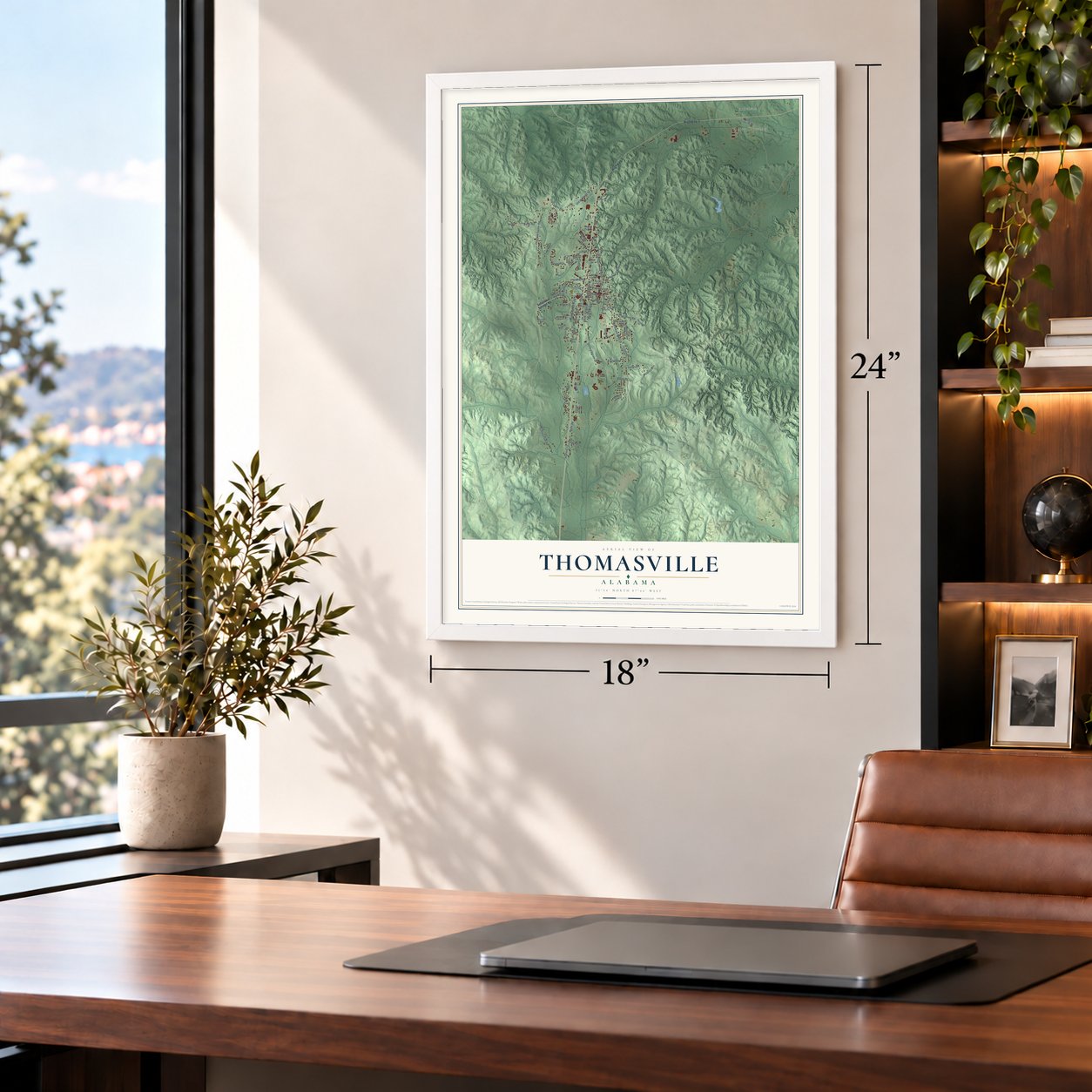

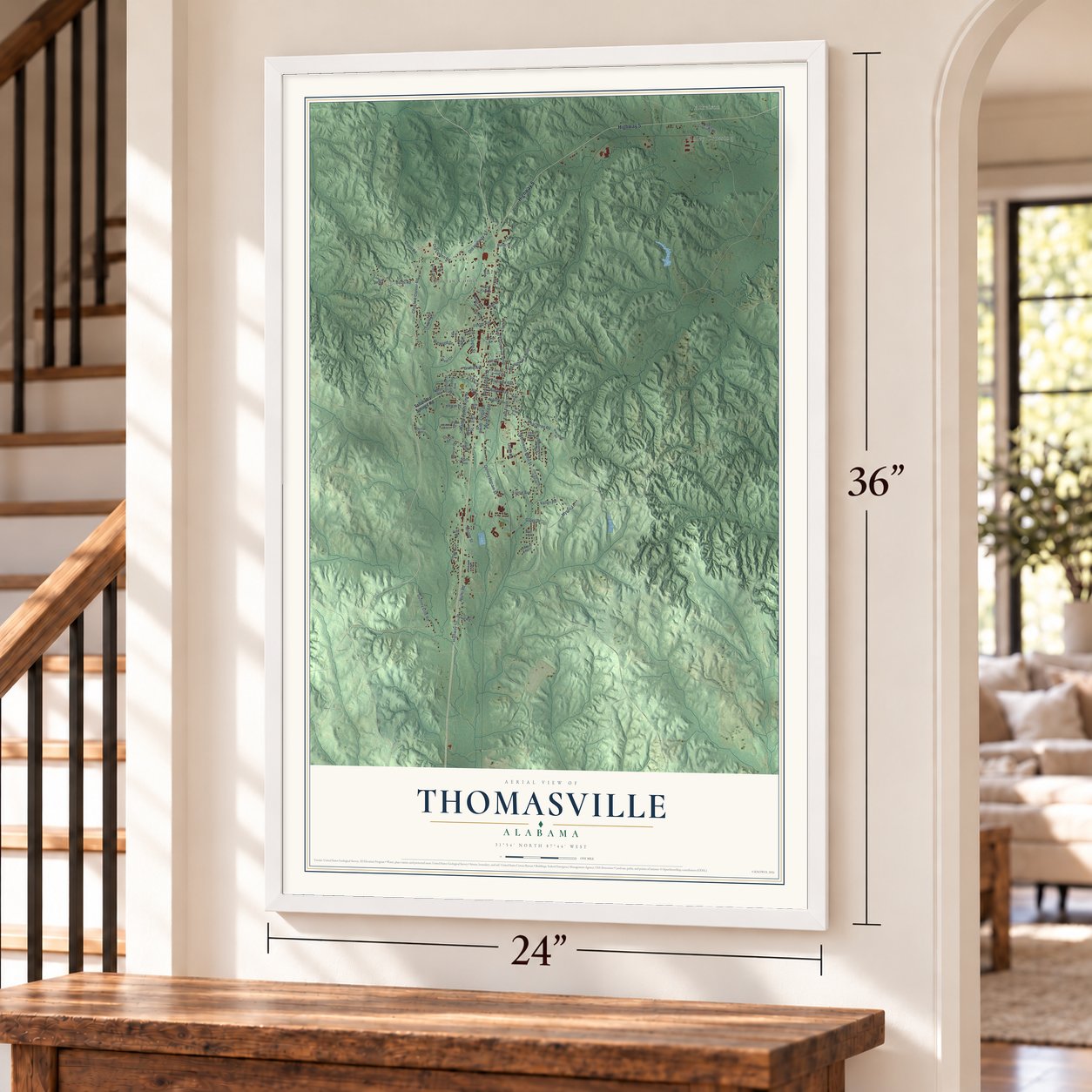

Free U.S. delivery 7 to 10 days after you order
Thomasville, Alabama Map Art
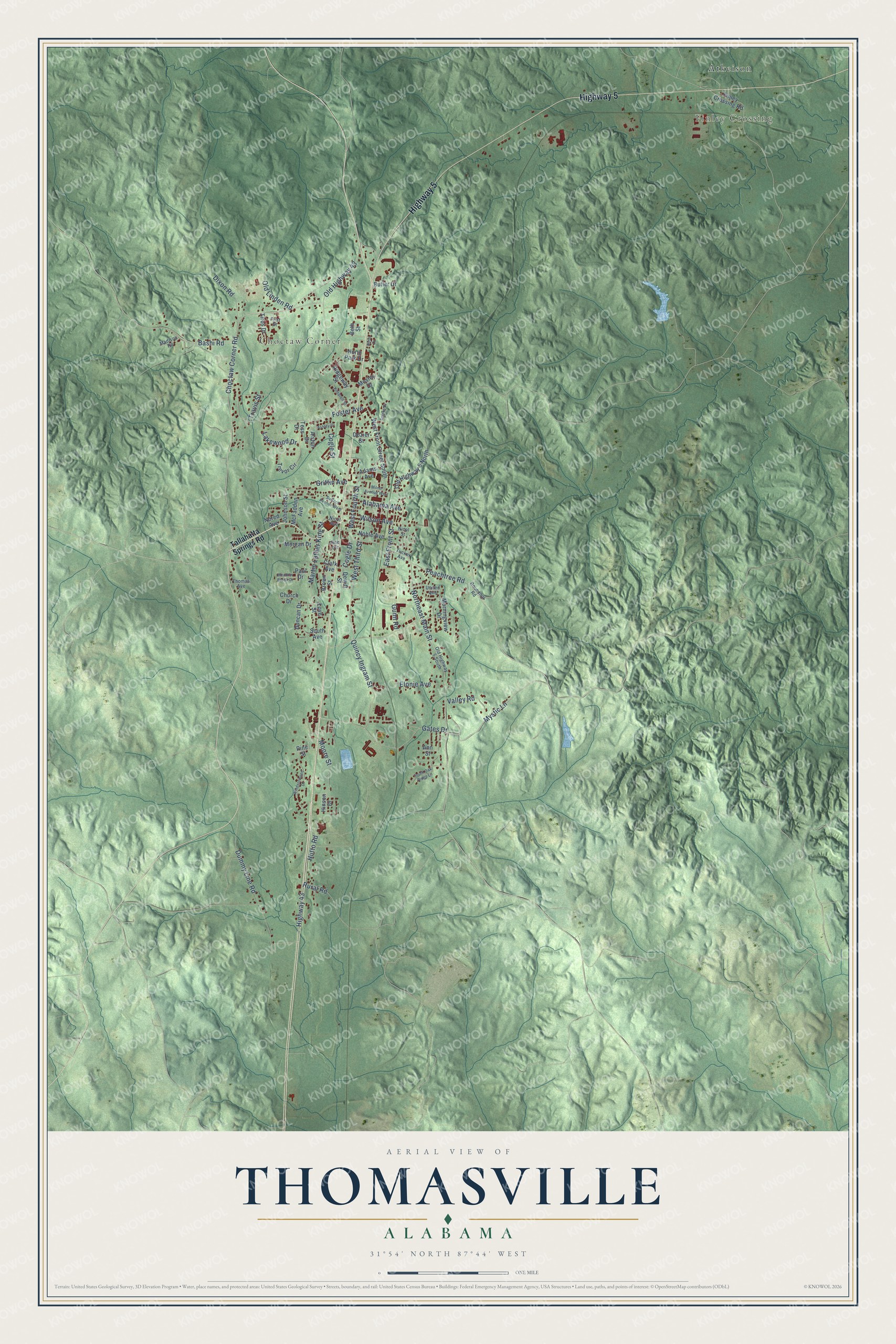
A new map of Thomasville, Alabama, made in 2026 and printed to order on thick archival matte paper.
12" x 18" Archival Matte Print
A Map of Home. A Work of Art.
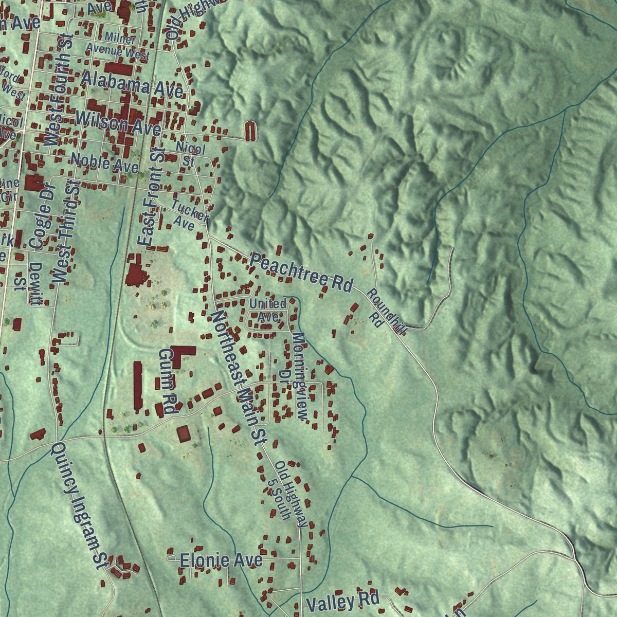
Explore Thomasville, Alabama from a whole new perspective. Created using aerial imagery and detailed geographic data, this map captures Thomasville building by building, with labeled streets, familiar landmarks, and shaded topographical relief that highlights the natural contours of the landscape.
Combining modern data with the timeless character of a vintage atlas, this map is just as interesting up close as it is beautiful on the wall. Whether you grew up in Thomasville, spent memorable years there, or call it home today, this unique map is a great way to celebrate a place that means something to you. Zoom in on the preview to look for your street, and then order a print to put your memories on the wall.
Three ways to hang it
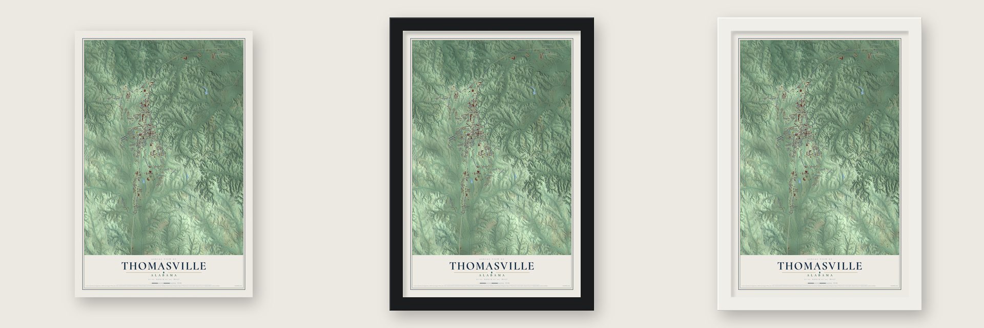
Unframed archival matte, a black wood frame or a white wood frame.
Up close
Geography Worth Displaying
This map was created using accurate cartographic data and authoritative geographic sources, including the U.S. Geological Survey and the Census Bureau. The map brings together terrain, waterways, roads, and building detail. The majority of the streets are labeled, houses are accurately depicted, and the topography is derived from government sources. Combining local data with carefully composed color and shading leads to this beautifully detailed Thomasville artwork for your wall.
Rather than simply showing street outlines, we’ve included as many of the street names as we could reasonably fit on the map while keeping their names legible. Zoom in on the high resolution preview to see exactly what’s on the map. We truly set out to create a statement piece for anyone who loves Thomasville. So whether it’s for you, or a gift for someone you love, we hope this map of Thomasville brings back fond memories.
Read the story behind this map of Thomasville, Alabama from 2026.
About Thomasville, Alabama
Thomasville is a city of 3,649 people in Clarke County, set on high ground between the Tombigbee and Alabama rivers. The town owes its start to the railroad. When merchants at Choctaw Corner, an older settlement to the west, learned that the Mobile and West Alabama Railroad would pass east of them, they moved their stores beside the new line. The town was established on July 4, 1887, and incorporated on November 24, 1888.
At first people called the place Choctaw. It became Thomasville after Samuel Russell Thomas, a former Union general who financed railroads and headed the East Tennessee, Virginia, and Georgia line, gave $500 toward the town's first school. The first train ran in 1888, taking a party of revelers to Mardi Gras in Mobile. In 1889 an epidemic, probably yellow fever, struck the town, which stood partly on drained swampland, and many residents left to escape it. The town recovered, with 686 people in 1900 and 1,181 by 1912.
- Rebuilt in brick after 1899In 1899 fire swept through the whole downtown, burning 23 businesses and the postmaster's home. Most of those stores had been put up quickly in wood, so the town council ruled that new downtown buildings had to be brick. Thomasville rebuilt that way and was thriving again by the start of World War I.
- Jackson's army at the springPeople lived here long before the railroad. Robert Mott and Thomas Vick were the first settlers, before the Indians left Alabama, at a spot called Choctaw Corners on the line between Choctaw and Creek lands. By a 1765 treaty the Choctaws gave England the land from this corner to the Gulf. The settlement sat on the Jackson military road, and Jackson and his army stopped at a spring that lies inside today's town limits.
- Home of the FPS-35 radarIn the 1950s the Air Force opened a radar base at Thomasville as part of the Air Defense Command's SAGE system, and servicemen and their families moved to town. The base, called the Thomasville Aircraft Control and Warning Station, is where the prototype FPS-35 radar was developed. After it closed, the complex became the Thomasville Adult Adjustment Center, then a mental health rehabilitation center, and it now houses the L.I.F.E. Tech Institute for former prisoners.
- The City of RosesIn the 1950s residents planted roses along Highway 43, the main road through town, and Thomasville took the nickname the City of Roses. Paper mills opened around the area in the 1960s and 1970s, and that industry still matters to the local economy.
- Kathryn Tucker Windham's hometownThe storyteller and author Kathryn Tucker Windham grew up in Thomasville, and so did her cousin Earl Lee Tucker, a humorist who edited the Thomasville Times for many years. The Coastal Alabama Community College campus in town holds the Kathryn Tucker Windham Museum, and every fall the Ghost Walk has people in period dress retell tales from her 13 Ghosts books.
Find your street
Names on the Thomasville map
Every name below is printed on this map. Look for your street, your school, the park where you played, or the pond down the road.
Places and landmarks3
- Finley Crossing
- Choctaw Corner
- Atkeison
Streets and roads82
- Highway 5
- Gates Drive
- Bashi Road
- Mystic Lane
- Peachtree Road
- Foster Avenue
- Quincy Ingram Street
- West Third Street
- West Fourth Street
- Choctaw Corner Road
- Highway 43
- Wilson Avenue
- Northeast Main Street
- Dummy Line Road
- Martin Luther King Street
- Old Highway 43
- Griffin Avenue
- Lakewood Drive
- Cogle Street
- East Front Street
- Alabama Avenue
- Moore Street
- Old Linden Road
- Elonie Avenue
- Dixon Road
- Valley Road
- Rural Road
- Hutto Road
- Cogle Drive
- Travis Street
Show all 82 streets
- Gunn Road
- Tallahatta Springs Road
- Johnson Street
- Pine Street
- Clark Avenue
- Ann Street
- Tess Drive
- West Front Street South
- Old Highway 5 North
- Hinson Drive
- Duncan Drive
- Trevor Circle
- Finley Crossing Road
- Ridgeway Street
- McFadden Avenue
- Tiros Drive
- Noble Avenue
- Mosley Drive
- Morgan Drive
- Morningview Drive
- Butler Drive
- Nored Avenue
- Dewitt Street
- North Park Drive
- Church Drive
- Adams Avenue
- Alston Drive
- Dozier Street
- South Avenue
- Brown Street
- Paul Drive
- Beth Street
- Love Street
- Nicol Avenue
- Roundhill Road
- Old Highway 5 South
- First Street
- Tucker Avenue
- Thomas Avenue
- United Avenue
- Pine Circle
- Madison Road
- Nicol Street
- Safford Avenue West
- Windsorwood Drive
- Milner Avenue West
- Kimbrell Street
- South Oak Ridge Lane
- Spinks Drive
- Rose Drive
- Meadow Brook Drive
- Ashley Drive
Names are listed as they appear on the printed map. Zoom into the product photos to find them.
The art of mapping a place
How This Map Was Made
Real places. Remarkable detail. Discover the layers that turn geographic data into a map of home.

The view from above
Aerial imagery reveals the character of the land: woodland, open fields, and the patterns of a place.

The shape of the land
Elevation data brings hills, valleys, and subtle changes in the landscape into view.

The details of home
Roads, waterways, and building footprints come together to make the map feel unmistakably local.

Geography becomes art
Considered color, shading, and typography bring the layers together in a map made for your wall.


Process illustrated with Mendon, Massachusetts. Aerial imagery: USDA NAIP. Terrain: USGS 3D Elevation Program. Map details and finished artwork: KNOWOL.
The Details
About This Print
Choose an archival matte print, or a black or white Ayous wood frame. The archival matte print is unframed.
Select your size and finish above to see the matching product image and price.
Materials & Craftsmanship
A contemporary map with the character of a classic atlas, printed on archival matte paper. Optional frames are made from Ayous wood.
Your printed map does not include the watermark shown in the full-map preview.
Shipping & Delivery
Free shipping within the United States. Every print is made to order in the USA.
Buying a gift? Add a note in your cart and we'll include it. We never put prices in the package.
Prints ship within 2 to 3 business days. Allow 7 to 10 days total from ordering for delivery. Timing may vary during holidays or periods of high order volume.
Read our shipping policy.
Returns and damaged prints
Each print is made to order. Change-of-mind refunds are not available after production.
If your print arrives damaged, misprinted or incorrect, contact support@knowol.com within 30 days of receiving it. Include your order number, photos and a description of the issue.
Read our full refund and replacement policy. For questions about your order, email support@knowol.com.
Find your town
Looking for another city?
Find a map of home in our Alabama collection, or any town in the country.
Nearby
Maps of towns near Thomasville
Know someone from one of these towns? Their map makes a great gift.
 Fulton
, Alabama
From $39.99See the map
 Pine Hill
, Alabama
From $39.99See the map
 Sweet Water
, Alabama
From $39.99See the map
More maps nearby: Grove Hill, Yellow Bluff, Whatley, Putnam and Nanafalia.