
Search for another town

Free U.S. delivery 7 to 10 days after you order
Tipton, Indiana Map Art
Building by building, with labeled streets and shaded relief.
12" x 18" Archival Matte Print
A Map of Home. A Work of Art.
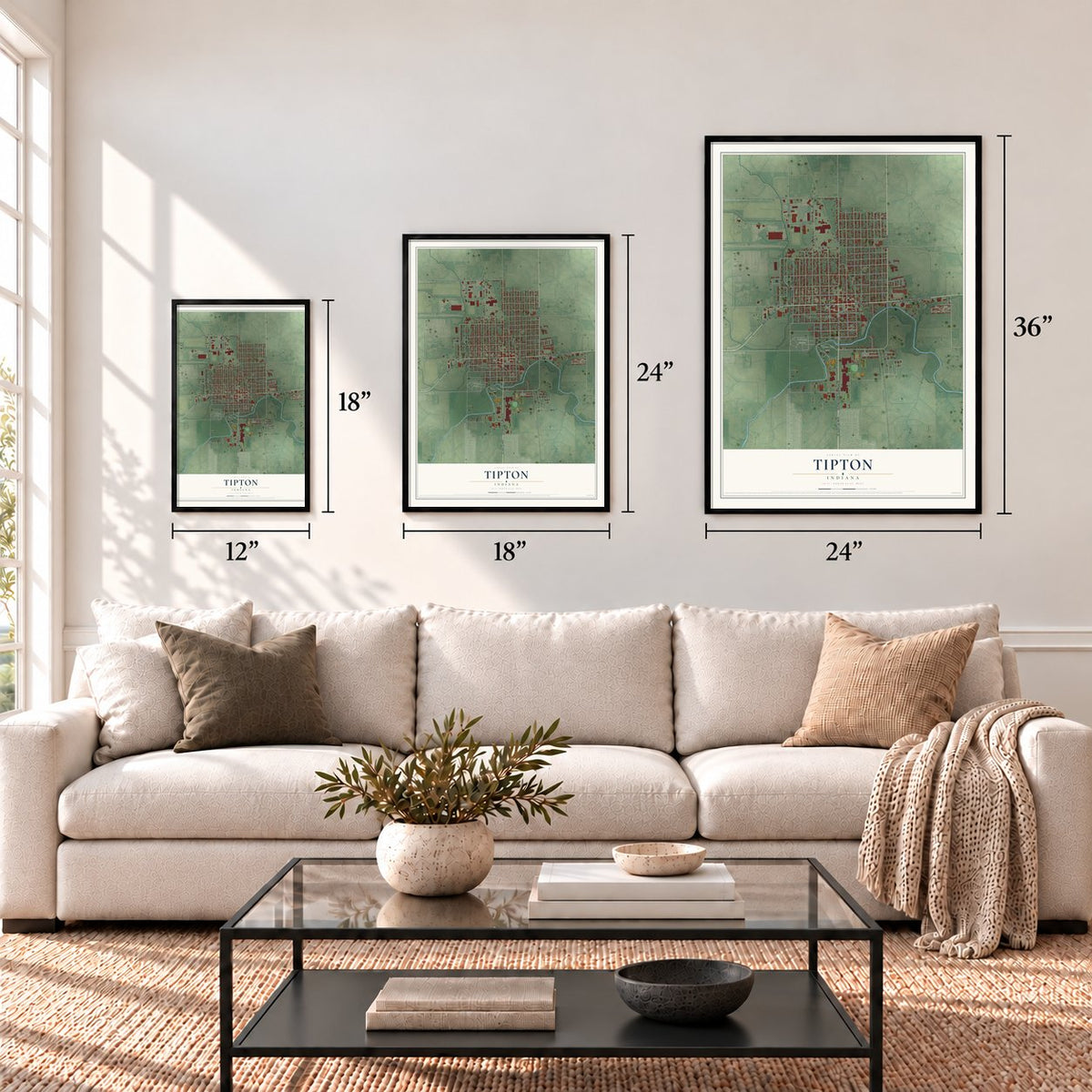
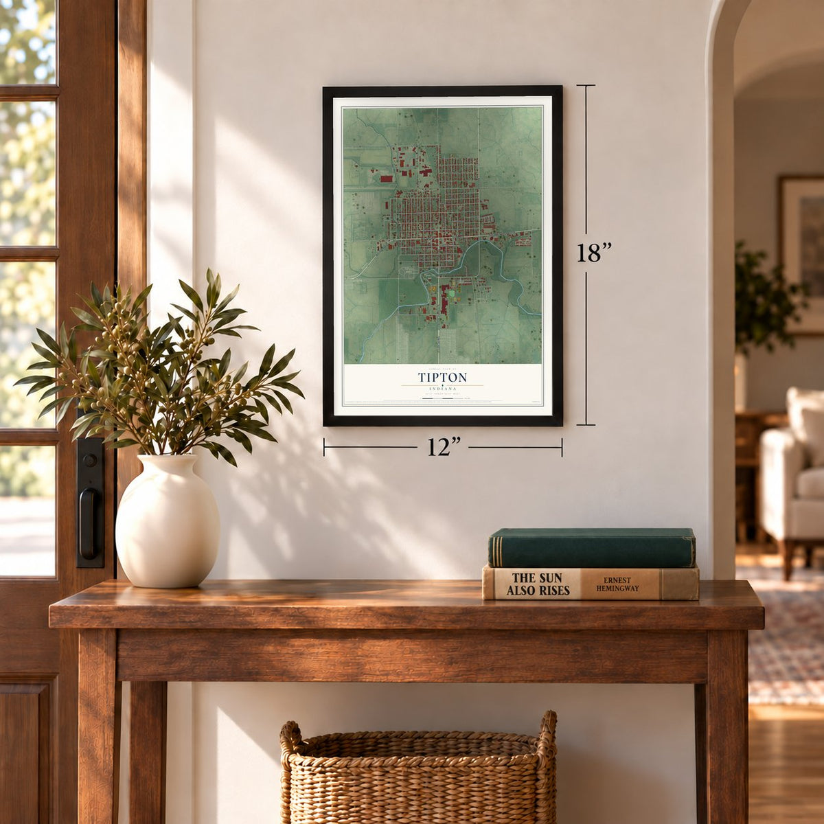
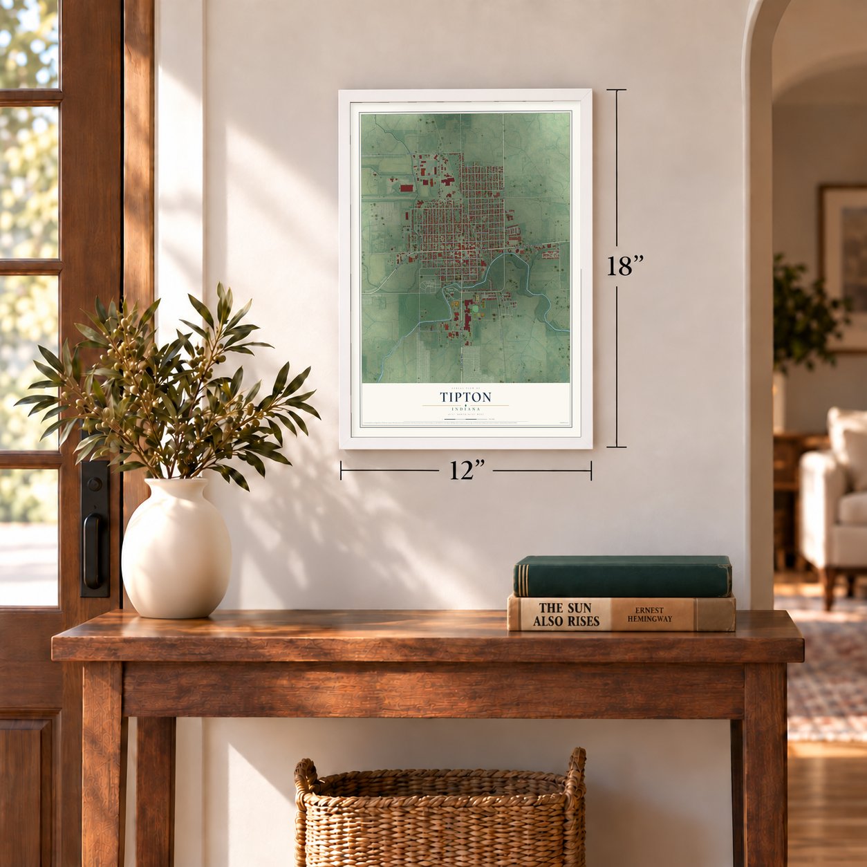
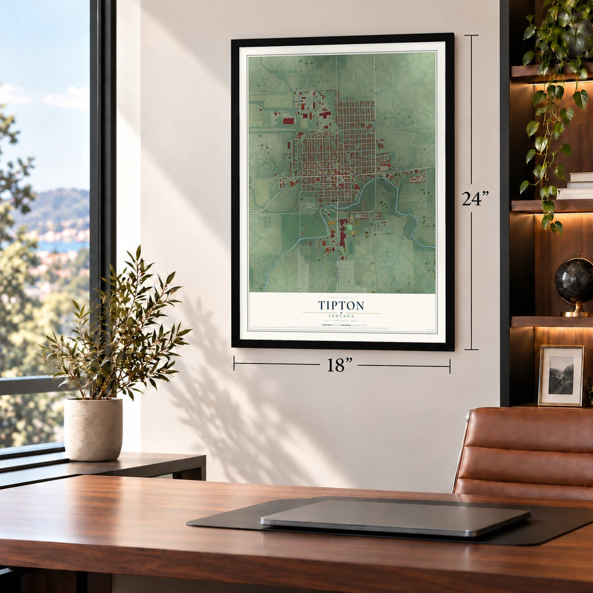
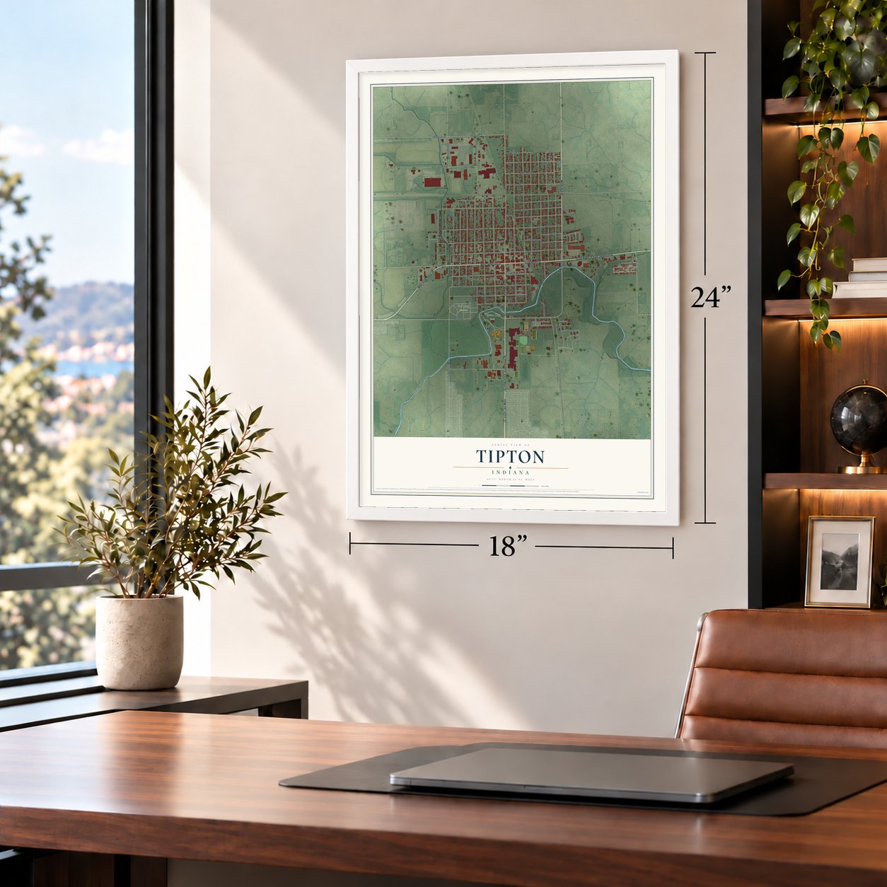
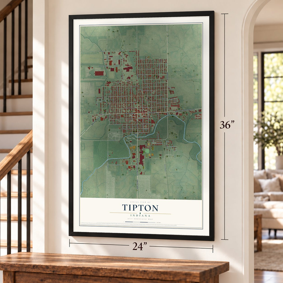
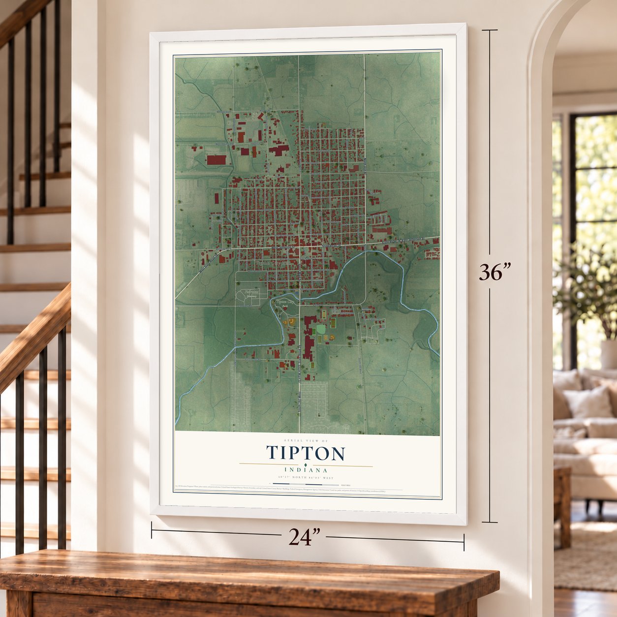
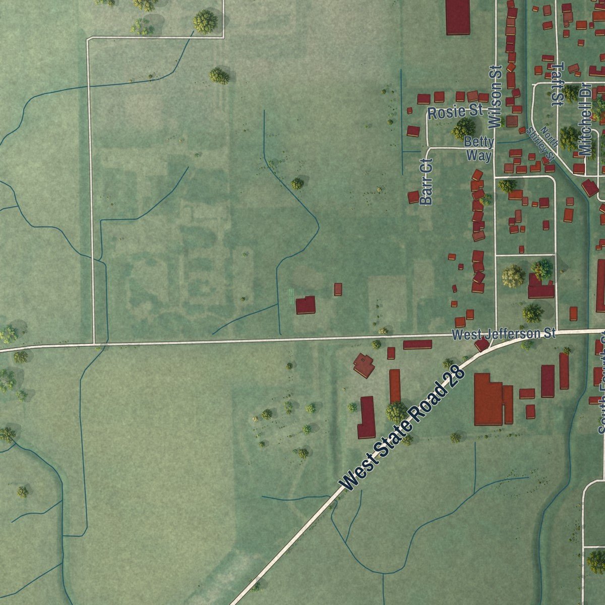
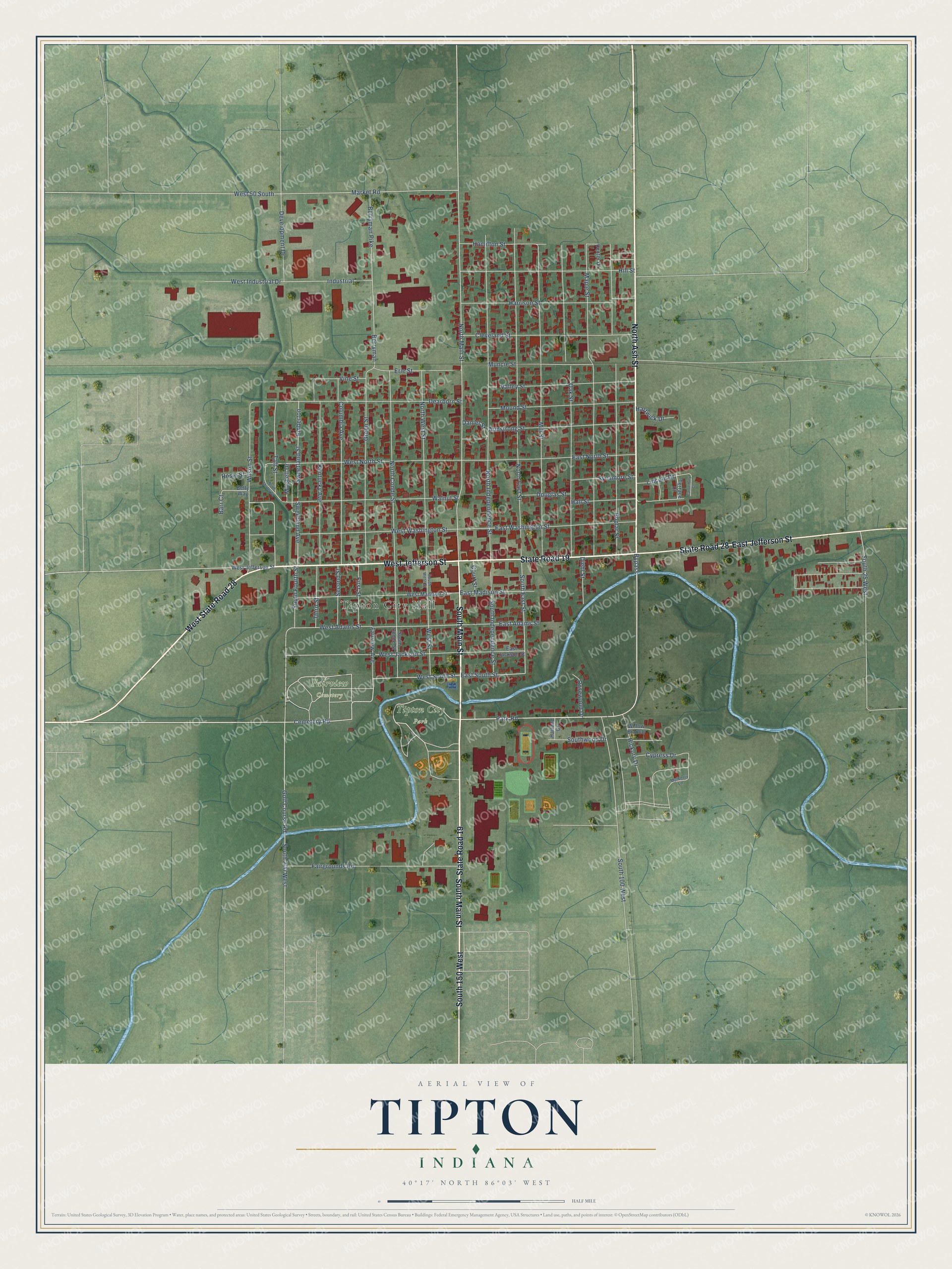
Explore Tipton, Indiana from a whole new perspective. Created using aerial imagery and detailed geographic data, this map captures Tipton building by building, with labeled streets, familiar landmarks, and shaded topographical relief that highlights the natural contours of the landscape.
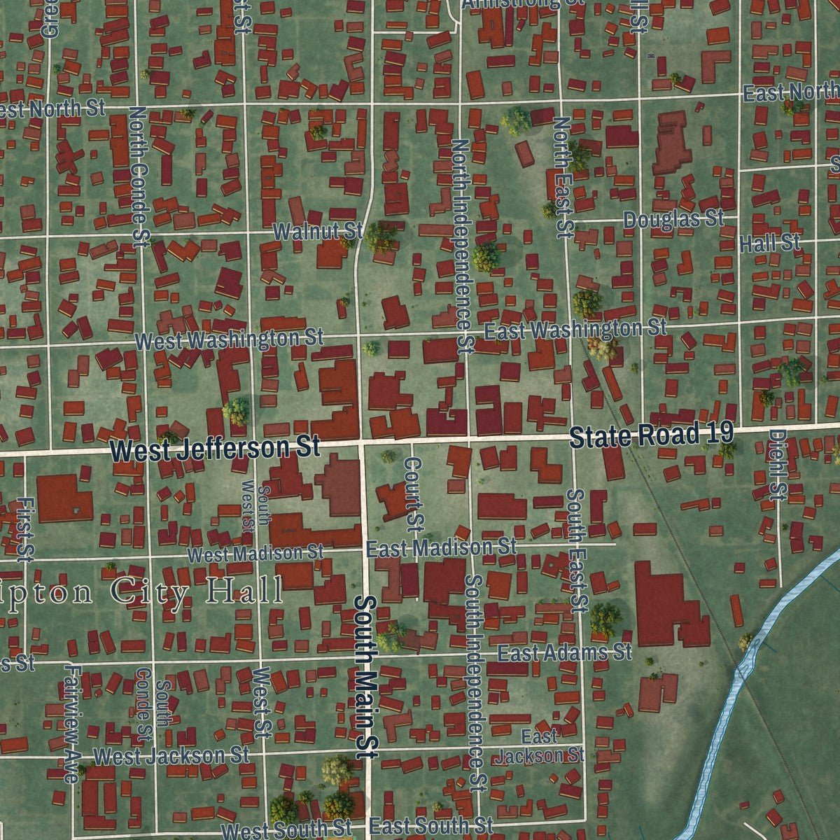
Combining modern data with the timeless character of a vintage atlas, this map is just as interesting up close as it is beautiful on the wall. Whether you grew up in Tipton, spent memorable years there, or call it home today, this unique map is a great way to celebrate a place that means something to you. Zoom in on the preview to look for your street, and then order a print to put your memories on the wall.
Three ways to hang it
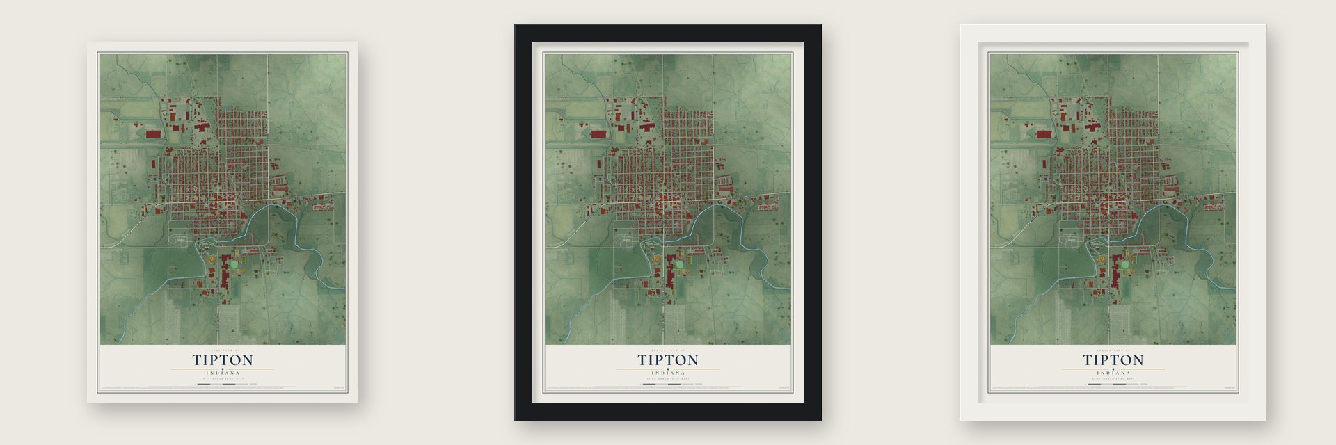
Unframed archival matte, a black wood frame or a white wood frame.
Up close
Geography Worth Displaying
This map was created using accurate cartographic data and authoritative geographic sources, including the U.S. Geological Survey and the Census Bureau. The map brings together terrain, waterways, roads, and building detail. The majority of the streets are labeled, houses are accurately depicted, and the topography is derived from government sources. Combining local data with carefully composed color and shading leads to this beautifully detailed Tipton artwork for your wall.
Rather than simply showing street outlines, we’ve included as many of the street names as we could reasonably fit on the map while keeping their names legible. Zoom in on the high resolution preview to see exactly what’s on the map. We truly set out to create a statement piece for anyone who loves Tipton. So whether it’s for you, or a gift for someone you love, we hope this map of Tipton brings back fond memories.
Read the story behind this map of Tipton, Indiana from 2026.
Find your street
Names on the Tipton map
Every name below is printed on this map. Look for your street, your school, the park where you played, or the pond down the road.
Places and landmarks3
- Tipton City Hall
- Fairview Cemetery
- Tipton City Park
Streets and roads97
- State Road 19
- South Main Street
- West Jefferson Street
- West State Road 28
- East Jefferson Street
- South 150 West
- State Road 28
- North Ash Street
- Bypass
- Cemetery Road
- West South Street
- East South Street
- North Main Street
- Market Road
- Taft Street
- Park Road
- South East Street
- South 25 West
- West Adams Street
- West Jackson Street
- Industrial
- Berryman Pike
- Berryman
- Emberton
- West Washington Street
- Sweetland Avenue
- Wilson Street
- North East Street
- North Independence Street
- Mill Street
Show all 97 streets
- Maple Street
- Oak Street
- Poplar Street
- Dearborn Street
- South 100 West
- Green Street
- West North Street
- Walnut Street
- North Conde Street
- North West Street
- Kentucky Avenue
- Columbia Avenue
- East Washington Street
- Golf Course Road
- South 200 West
- Hill Street
- Harrison Street
- East North Street
- Fairgrounds Road
- Cleveland Street
- Armstrong Street
- Mound Street
- Valley Street
- South Independence Street
- Hall Street
- Muncie Street
- Sweetland Street
- Erie Street
- Development Drive
- West Industrial Drive
- East Adams Street
- Hamilton Street
- Hickory Drive
- East Madison Street
- Cypress Drive
- Sycamore Street
- First Street
- Second Street
- Third Street
- South Fourth Street
- Southwood Drive
- Vine Street
- Fairview Avenue
- Douglas Street
- Diehl Street
- West 50 South
- Rosewood Drive
- Hartwick Drive
- Rosie Street
- Lincoln Drive
- Mitchell Drive
- Daniel Street
- Court Street
- West Street
- Barr Court
- West Madison Street
- South Conde Street
- East Jackson Street
- Terrace Court
- Center Drive
- Betty Way
- Willow Branch
- Harland Drive
- Mulberry Lane
- South West Street
- North Shirley Street
- Canterbury Court
Names are listed as they appear on the printed map. Zoom into the product photos to find them.
About Tipton, Indiana
Tipton is a city of 5,275 people and the county seat of Tipton County, about 42 miles north of Indianapolis. Samuel King, who lived in Rush County, bought land here in 1835 and 1836 and platted a town called Kingston on April 16, 1839, but he never sold a single lot. When Tipton County was formed in January 1844, the commissioners asked landowners to offer a site for the county seat, and on October 16, 1844, they accepted King's gift of 100 acres.
Commissioner John D. Smith, who had come from Ohio, named the new seat Canton after Canton, Ohio. John Criswell surveyed the cleared ground for $2 a day, and by March 1845 buyers had taken 34 lots. When the town applied for a post office in 1845, officials found that Indiana already had a Canton, founded in 1838. The town became Tipton instead, honoring John Tipton, a War of 1812 veteran who was a U.S. senator from 1831 until shortly before he died in 1839, and John S. Ressler became the first postmaster.
“the worst railroad bed I had ever seen.”
- Cholera in 1845Around August 1, 1845, cholera struck the new town, and most people fled. Stores closed, and penned animals began to starve after their owners died or left, until Mason Lyons let the survivors loose to forage in the woods. Three doctors, Isaac Parker among them, stayed to treat the sick. The epidemic ran about a month and killed over 20 people.
- Indiana's first brick streetsFor years Tipton was so muddy that ox-drawn "mud boats" carried people through town. In 1890 a group from Tipton went to Bloomington, Illinois, to see how its brick streets were built. Back home, the town had 2 1/2 blocks of Jefferson Street paved in brick, which made Tipton the first city in the state with brick streets. By 1914 it had more paved streets than any other Indiana city.
- A courthouse lost in 1857Fire destroyed the county courthouse in 1857, so the Methodist church served as the courtroom for three years while a new one went up. The Tipton County Courthouse and the Tipton County Jail and Sheriff's Home joined the National Register in 1984.
- Tomatoes, brooms and rail shopsN.S. Martz brought canning to Tipton in the early 1900s, and the rich black loam grew fine tomatoes for the Fame Canning Company and the Snider Preserve Company. No broom factory in Indiana was bigger than the one J.J. McIntosh ran here, and in 1914 the Lake Erie & Western Shops employed 350-400 people.
- The Pork FestivalEvery year on the weekend after Labor Day, Tipton holds the Tipton County Pork Festival, with a parade, food, music and a contest that crowns Miss Pork Cuisine.
Keep exploring Indiana
Tipton is one of 1,023 Indiana towns we've mapped. Every dot on the map is a print of its own.
The search covers every state, Indiana first.
Near Tipton
Order 2 or more town maps and save 10%. Shown in the size and finish you picked above, so they hang as a set.
- Hobbs 12" x 18" / Archival Matte Print $39.99
- Atlanta 12" x 18" / Archival Matte Print $39.99
- Goldsmith 12" x 18" / Archival Matte Print $39.99
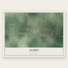
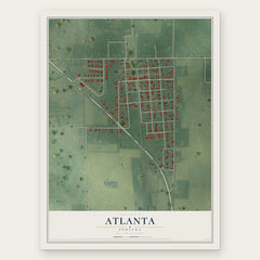
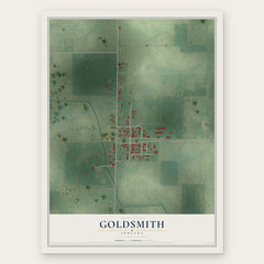
More maps nearby: Windfall City, Sharpsville, Arcadia, Hemlock and Kempton.
The art of mapping a place
How This Map Was Made
Real places. Remarkable detail. Discover the layers that turn geographic data into a map of home.

The view from above
Aerial imagery reveals the character of the land: woodland, open fields, and the patterns of a place.

The shape of the land
Elevation data brings hills, valleys, and subtle changes in the landscape into view.

The details of home
Roads, waterways, and building footprints come together to make the map feel unmistakably local.

Geography becomes art
Considered color, shading, and typography bring the layers together in a map made for your wall.


Process illustrated with Mendon, Massachusetts. Aerial imagery: USDA NAIP. Terrain: USGS 3D Elevation Program. Map details and finished artwork: KNOWOL.
The Details
About This Print
Choose an archival matte print, or a black or white Ayous wood frame. The archival matte print is unframed.
Select your size and finish above to see the matching product image and price.
Materials & Craftsmanship
A contemporary map with the character of a classic atlas, printed on archival matte paper. Optional frames are made from Ayous wood.
Your printed map does not include the watermark shown in the full-map preview.
Shipping & Delivery
Free shipping within the United States. Every print is made to order in the USA.
Buying a gift? Add a note in your cart and we'll include it. We never put prices in the package.
Prints ship within 2 to 3 business days. Allow 7 to 10 days total from ordering for delivery. Timing may vary during holidays or periods of high order volume.
Read our shipping policy.
Returns and damaged prints
Each print is made to order. Change-of-mind refunds are not available after production.
If your print arrives damaged, misprinted or incorrect, contact support@knowol.com within 30 days of receiving it. Include your order number, photos and a description of the issue.
Read our full refund and replacement policy. For questions about your order, email support@knowol.com.