
Search for another town




Free U.S. delivery 7 to 10 days after you order
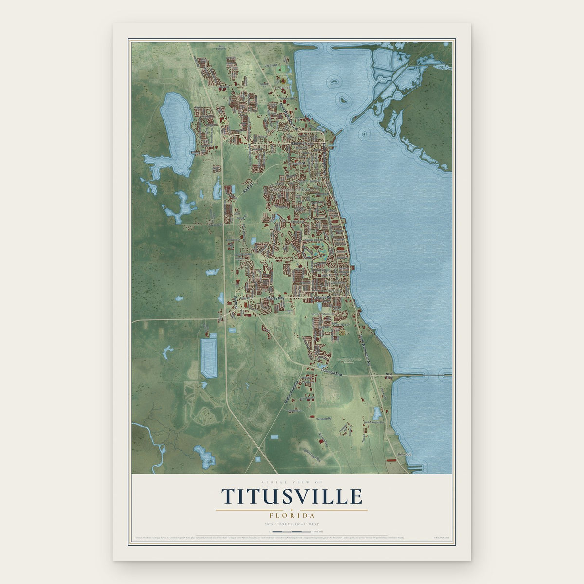
Titusville, Florida Map Art
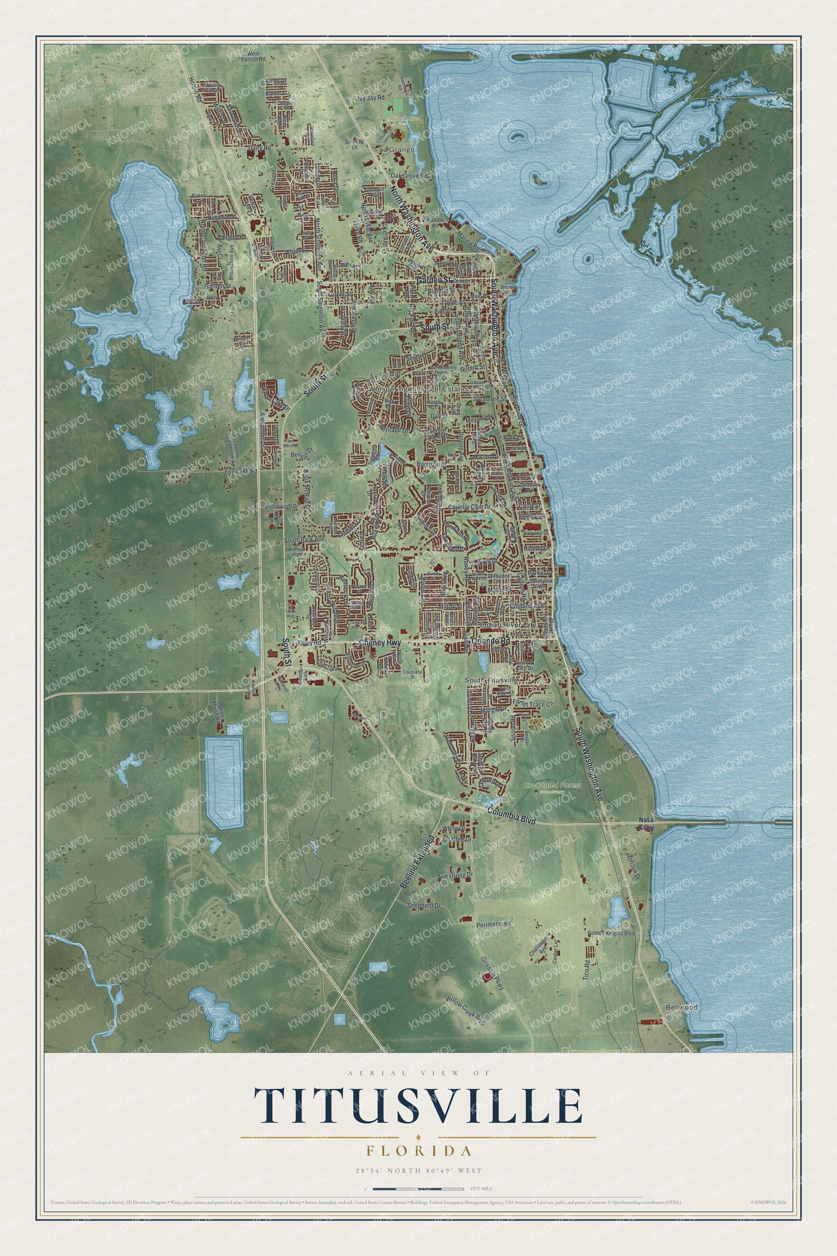
A new map of Titusville, Florida, made in 2026 and printed to order on thick archival matte paper.
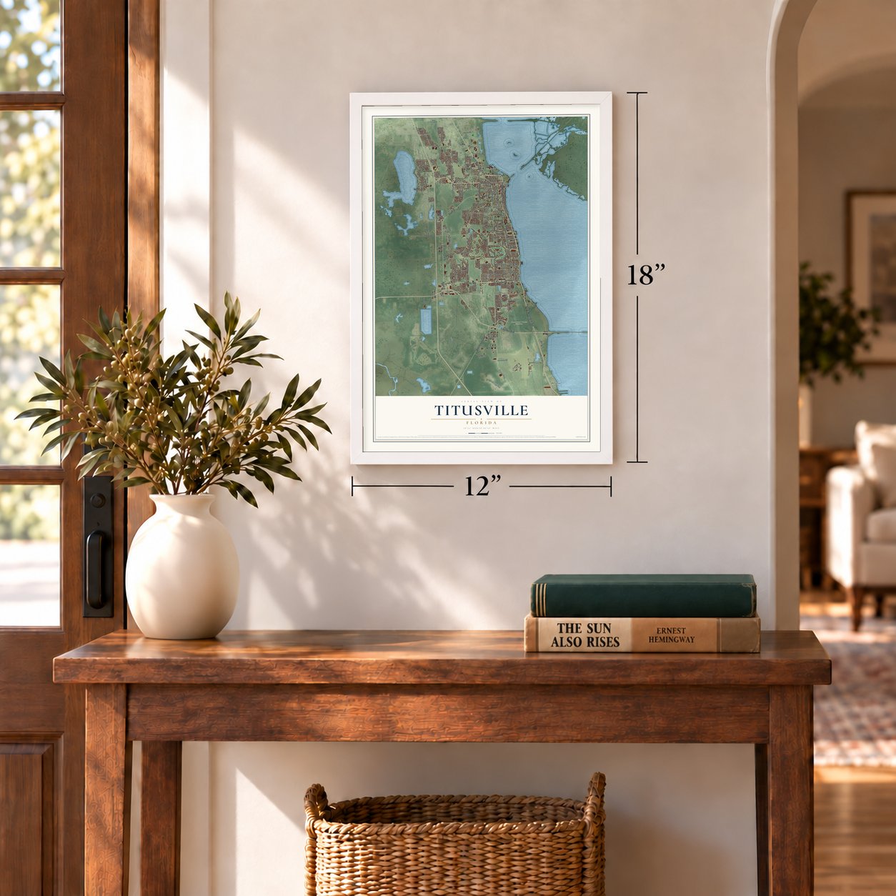
12" x 18" Archival Matte Print
A Map of Home. A Work of Art.
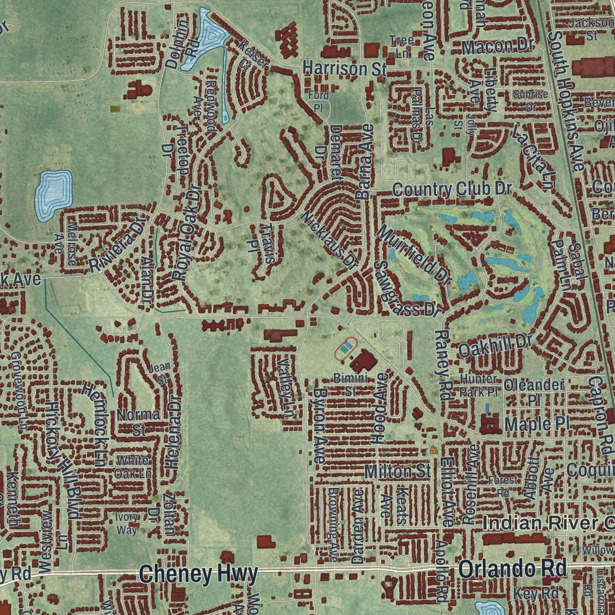
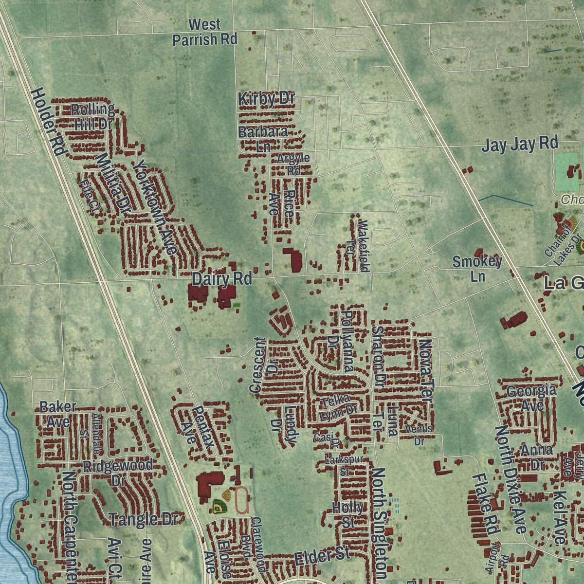
Explore Titusville, Florida from a whole new perspective. Created using aerial imagery and detailed geographic data, this map captures Titusville building by building, with labeled streets, familiar landmarks, and shaded topographical relief that highlights the natural contours of the landscape.
Combining modern data with the timeless character of a vintage atlas, this map is just as interesting up close as it is beautiful on the wall. Whether you grew up in Titusville, spent memorable years there, or call it home today, this unique map is a great way to celebrate a place that means something to you. Zoom in on the preview to look for your street, and then order a print to put your memories on the wall.
Three ways to hang it
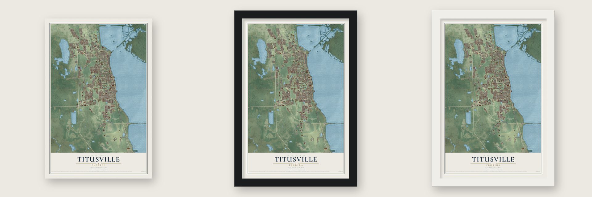
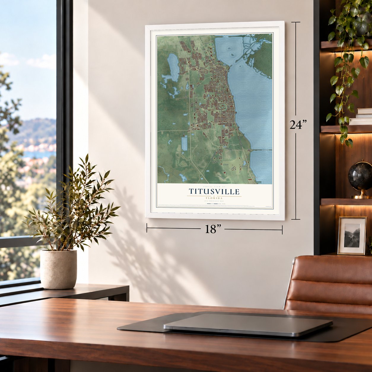
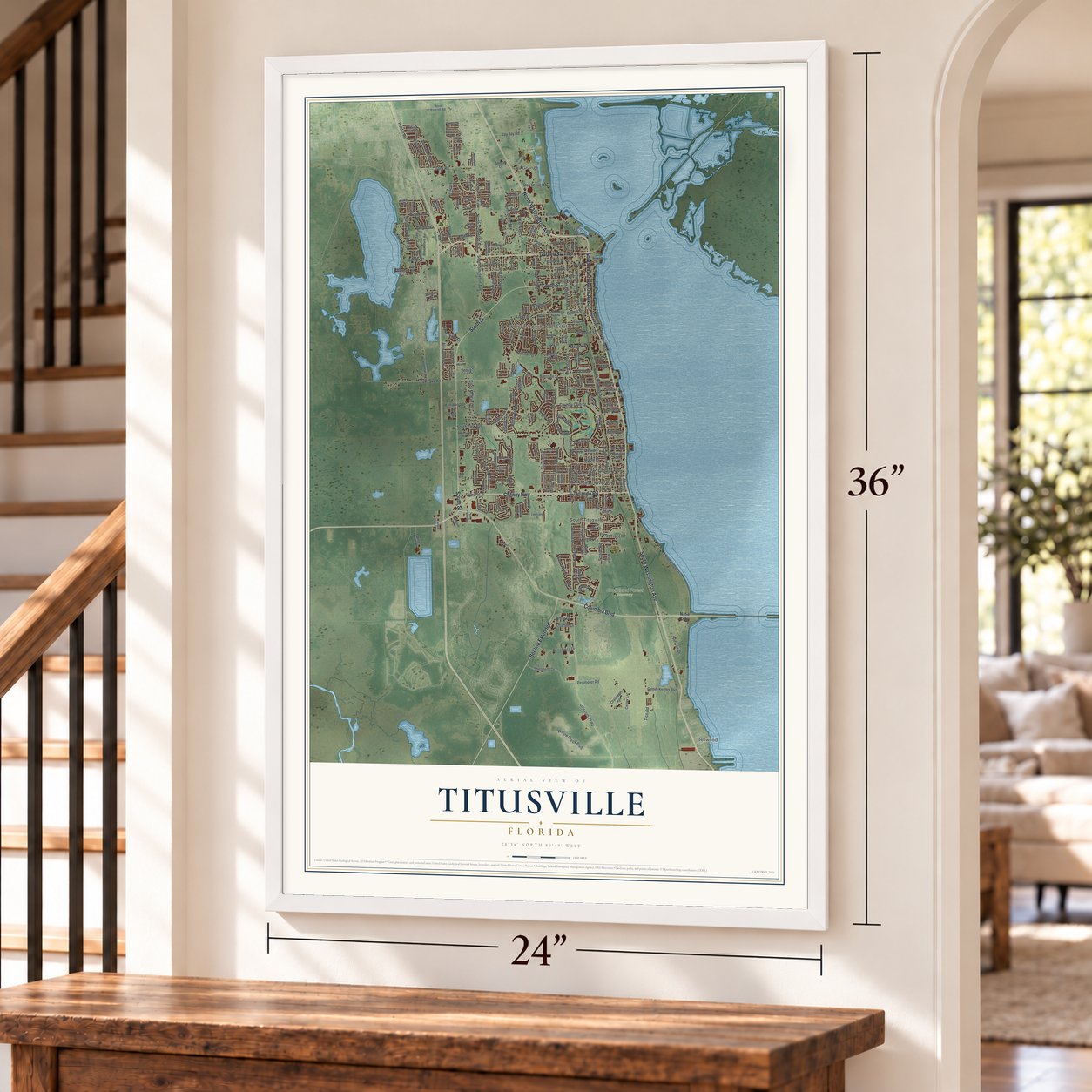
Unframed archival matte, a black wood frame or a white wood frame.
Up close
Geography Worth Displaying
This map was created using accurate cartographic data and authoritative geographic sources, including the U.S. Geological Survey (USGS) and FEMA. The map brings together terrain, waterways, roads, and building detail. The majority of the streets are labeled, houses are accurately depicted, and the topography is derived from government sources. Combining local data with carefully composed color and shading leads to this beautifully detailed Titusville artwork for your wall.
Rather than simply showing street outlines, we’ve included as many of the street names as we could reasonably fit on the map while keeping their names legible. Zoom in on the high resolution preview to see exactly what’s on the map. We truly set out to create a statement piece for anyone who loves Titusville. So whether it’s for you, or a gift for someone you love, we hope this map of Titusville brings back fond memories.
Explore the full map of Titusville, Florida and read about the local places it shows.

About Titusville, Florida
Titusville is a city of 48,789 people on the Indian River and the county seat of Brevard County. The settlement here was first called Sand Point, and it got a post office in 1859, but the office shut down after only a few months. Henry T. Titus came in 1867 with plans for a town on land that belonged to his wife, Mary Hopkins Titus, whose father was a well-known planter from Darien, Georgia.
Titus laid out the roads, and in 1870 he put up the Titus House, a big one-story hotel with a saloon beside it. He gave land for four churches and a courthouse, hoping the courthouse would make his town the county seat, and it did. Local history says he won the right to name the place in a game of dominoes against Capt. Clark Rice, and in 1873 Sand Point took the name Titusville. Incorporation as a city followed in 1887.
- Railroads in 1885 and 1892The Atlantic Coast, St. Johns & Indian River Railroad built its line from Enterprise and reached Titusville in 1885. Henry Flagler pushed his Florida East Coast Railroad south from Daytona and opened a Titusville station in 1892. Trains brought tourists looking for warm winters, and they carried the region's pineapples and citrus to markets in the North.
- The City of ChurchesWork on St. Gabriel's Episcopal Church started in 1887, the same year Titusville became a city, and the church joined the National Register in 1972. With churches built on the land Henry Titus had given, the town was known for a time as "The City of Churches."
- Space City USAStarting in the late 1950s, Cape Canaveral grew, followed by Kennedy Space Center on Merritt Island across the river, bringing Titusville new jobs, residents and tourists. In the 1960s it was called Space City USA and Miracle City. The Miracle City Mall opened on 32 acres in 1968. It closed in January 2013, after the Space Shuttle program ended in 2012, and was torn down in February 2015. The Titus Landing shopping center rose in its place.
- Windover, 6000 to 5000 BCIn 1982 the Windover Archeological Site was found near Titusville, holding remains from the middle Archaic Period, and it is now a National Historic Landmark. Much later the Ais Indians lived here, gathering palmetto, cocoplum and seagrape berries and fishing the river the Spanish called the Rio de Ais. Disease, slave raids and rum had wiped out the tribe by 1760.
Find your street
Names on the Titusville map
Every name below is printed on this map. Look for your street, your school, the park where you played, or the pond down the road.
Places and landmarks7
- La Grange
- Whispering Hills Golf Estates
- Chain of Lakes Park
- Enchanted Forest Sanctuary
- Bellwood
- Indian River City
- South Titusville
Streets and roads238
- North Washington Avenue
- Garden Street
- Columbia Boulevard
- Cheney Highway
- South Washington Avenue
- South Street
- Orlando Road
- Beeline Extended
- North Dixie Avenue
- Barna Avenue
- South Park Avenue
- Knox McRae Drive
- Grissom Parkway
- South Hopkins Avenue
- Tico Road
- Harrison Street
- North Singleton Avenue
- Riveredge Drive
- Country Club Drive
- Sisson Road
- Tropic Street
- Fox Lake Road
- South Deleon Avenue
- Dairy Road
- Royal Oak Drive
- Hickory Hill Boulevard
- Hood Avenue
- Macon Drive
- Raney Road
- Hillcrest Avenue
Show all 238 streets
- Willow Creek Boulevard
- South Singleton Avenue
- North Carpenter Road
- Foley Road
- Forest Trace Circle
- Shepherd Drive
- Perimeter Road
- Coquina Avenue
- Riverside Drive
- Holder Road
- Horizon Drive
- Jay Jay Road
- Oakhill Drive
- Mason Drive
- Armstrong Drive
- La Cita Lane
- Capron Road
- Helena Drive
- Alexander Drive
- Muirfield Drive
- Heritage Drive
- Marina Road
- Smith Drive
- Elder Street
- Byron Avenue
- Maple Place
- Yorktown Avenue
- Oak Grove Road
- Flake Road
- Sycamore Street
- Militia Drive
- Dummitt Avenue
- Tangle Drive
- Milton Street
- Highland Terrace
- Margie Drive
- Sawgrass Drive
- Olive Avenue
- Kathy Drive
- Hemlock Lane
- Swan Lake Drive
- Chaffee Drive
- Sandra Drive
- Parker Drive
- Grove Street
- Riviera Drive
- Nova Terrace
- Deleon Avenue
- White Drive
- Rockpit Road
- Day Street
- Chicory Drive
- Bengal Drive
- Echo Drive
- Pinedo Drive
- Elliot Avenue
- Blanton Street
- Kel Avenue
- Court Street
- Gilbert Street
- Park Lane
- Avi Court
- Kirby Drive
- Nasa Causeway
- South Carpenter Road
- Indian River Avenue
- River Oaks Drive
- Main Street
- Buffalo Road
- Mount Vernon Avenue
- Orange Street
- Pine Street
- Delespine Avenue
- Zoltan Drive
- Golden Knights Boulevard
- Savannah Boulevard
- Oleander Place
- Rosehill Avenue
- Worth Avenue
- Vista Terrace
- Rolling Hill Drive
- Brookshire Avenue
- Demaret Drive
- Kilmarnoch Drive
- Sabal Palm Lane
- Dolphin Road
- Wendy Lee Drive
- Country Club Boulevard
- Ridgewood Drive
- Bobbi Lane
- Challenger Avenue
- Abbott Avenue
- Treetop Drive
- West Parrish Road
- Westview Lane
- Deep Marsh Road
- Nicklaus Drive
- Darden Avenue
- Narvaez Drive
- Melissa Drive
- Bermuda Street
- Apollo Road
- Alan Drive
- Ojibway Avenue
- Logan Drive
- Pollyanna Drive
- Meadow Oaks Avenue
- First Avenue
- Hollow Glen Drive
- Center Lane
- Kings Court
- Barbara Lane
- Sharon Drive
- Georgia Avenue
- Violet Avenue
- Valley Lane
- Forrell Avenue
- Craig Avenue
- Merry Lane
- Nidy Avenue
- Kenneth Court
- Baker Avenue
- Pentax Avenue
- Bryan Avenue
- Eloise Avenue
- Crescent Drive
- Doyle Drive
- Lincoln Avenue
- Jones Street
- Norma Street
- Volusia Avenue
- Rice Avenue
- Smokey Lane
- Travis Place
- Tiwa Lane
- Liberty Avenue
- Holly Street
- Key Road
- Miriam Drive
- Lundy Drive
- Anna Drive
- Keats Avenue
- Utes Drive
- Luna Terrace
- Key Drive
- Diane Drive
- Sky Lane
- Winchester Drive
- Grovewood Lane
- Overlook Terrace
- Fairglen Drive
- Cathedral Way
- Clover Lane
- Broad Street
- White Oak Lane
- Browning Avenue
- Clarewood Boulevard
- Windover Way
- Beverly Street
- Gibson Street
- Jackson Street
- Louisiana Street
- Redwood Avenue
- Hilltop Drive North
- Windover Trail
- Arbor Ridge Lane
- Satterfield Road
- Las Palmas Drive
- Hunter Park Place
- Wakefield Terrace
- Bimini Street
- Telka Lynn Drive
- Hammock Road
- Melrose Avenue
- Reagan Avenue
- Fife Court
- Country Lane
- Argyle Road
- Tree Lane
- Keiser Court
- Jerry Avenue
- Meadow Lark Drive
- East Whispering Hills Road
- Watermill Lane
- Elm Terrace
- Forest Road
- Willow Street
- Marian Court
- Fox Hollow Drive
- Garnet Avenue
- Chain of Lakes Drive
- Sunrise Drive
- Helen Hauser Boulevard
- Tuscarora Road
- Airport Road
- Brevard Street
- Allendale Street
- Larkspur Street
- Lark Court
- Joe Murell Drive
- Ivory Way
- Venus Drive
- Casi Drive
- Linda Avenue
- Lillian Boulevard
- Ford Place
- Jolly Street
- Jean Street
Names are listed as they appear on the printed map. Zoom into the product photos to find them.
The art of mapping a place
How This Map Was Made
Real places. Remarkable detail. Discover the layers that turn geographic data into a map of home.

The view from above
Aerial imagery reveals the character of the land: woodland, open fields, and the patterns of a place.

The shape of the land
Elevation data brings hills, valleys, and subtle changes in the landscape into view.

The details of home
Roads, waterways, and building footprints come together to make the map feel unmistakably local.

Geography becomes art
Considered color, shading, and typography bring the layers together in a map made for your wall.


Process illustrated with Mendon, Massachusetts. Aerial imagery: USDA NAIP. Terrain: USGS 3D Elevation Program. Map details and finished artwork: KNOWOL.
The Details
About This Print
Choose an archival matte print, or a black or white Ayous wood frame. The archival matte print is unframed.
Select your size and finish above to see the matching product image and price.
Materials & Craftsmanship
A contemporary map with the character of a classic atlas, printed on archival matte paper. Optional frames are made from Ayous wood.
Your printed map does not include the watermark shown in the full-map preview.
Shipping & Delivery
Free shipping within the United States. Every print is made to order in the USA.
Buying a gift? Add a note in your cart and we'll include it. We never put prices in the package.
Prints ship within 2 to 3 business days. Allow 7 to 10 days total from ordering for delivery. Timing may vary during holidays or periods of high order volume.
Read our shipping policy.
Returns and damaged prints
Each print is made to order. Change-of-mind refunds are not available after production.
If your print arrives damaged, misprinted or incorrect, contact support@knowol.com within 30 days of receiving it. Include your order number, photos and a description of the issue.
Read our full refund and replacement policy. For questions about your order, email support@knowol.com.
Find your town
Looking for another city?
Find a map of home in our Florida collection, or any town in the country.
Nearby
Maps of towns near Titusville
Know someone from one of these towns? Their map makes a great gift.
 Port St. John
, Florida
From $39.99See the map
 Mims
Mims, Florida
From $39.99See the map
 Sharpes
, Florida
From $39.99See the map
More maps nearby: North Merritt Island, Christmas, West Canaveral Groves, Audubon and Scottsmoor.