
Search for another town


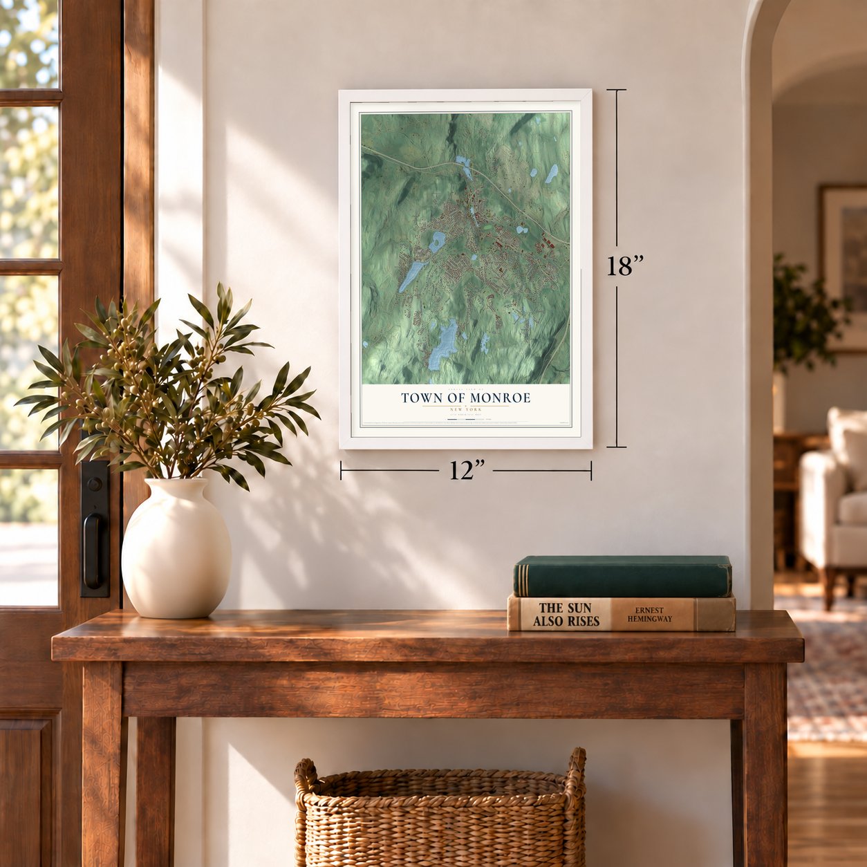
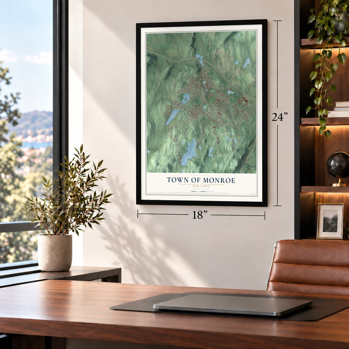
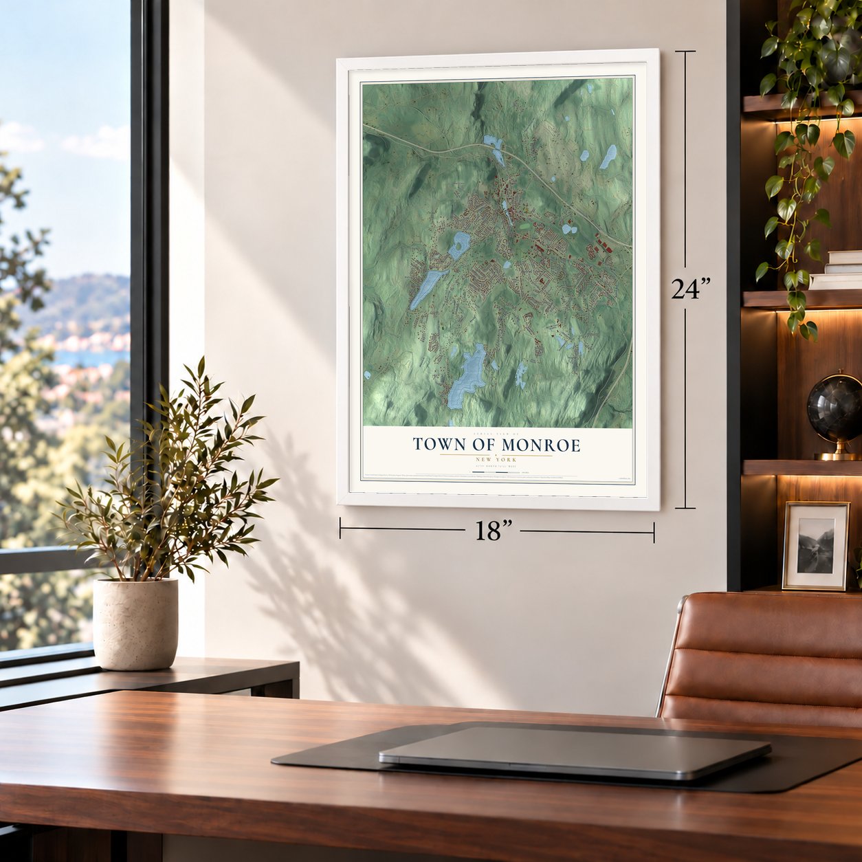


Free U.S. delivery 7 to 10 days after you order
Town of Monroe, New York Map Art
Building by building, with labeled streets and shaded relief.
12" x 18" Archival Matte Print
A Map of Home. A Work of Art.
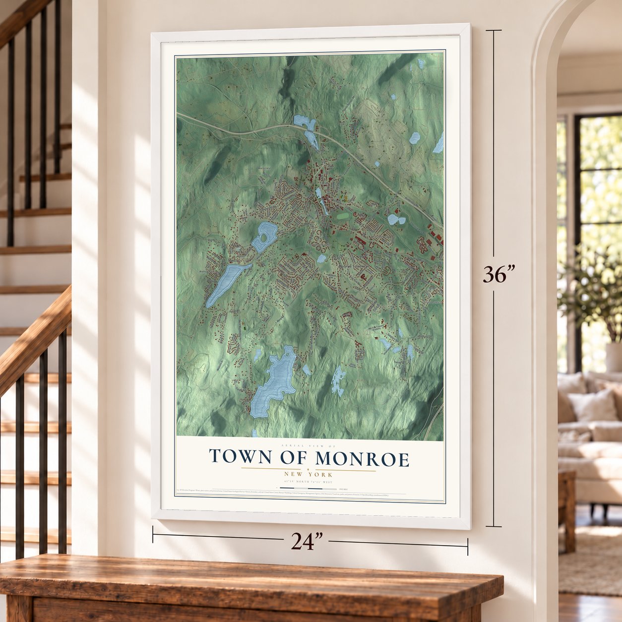
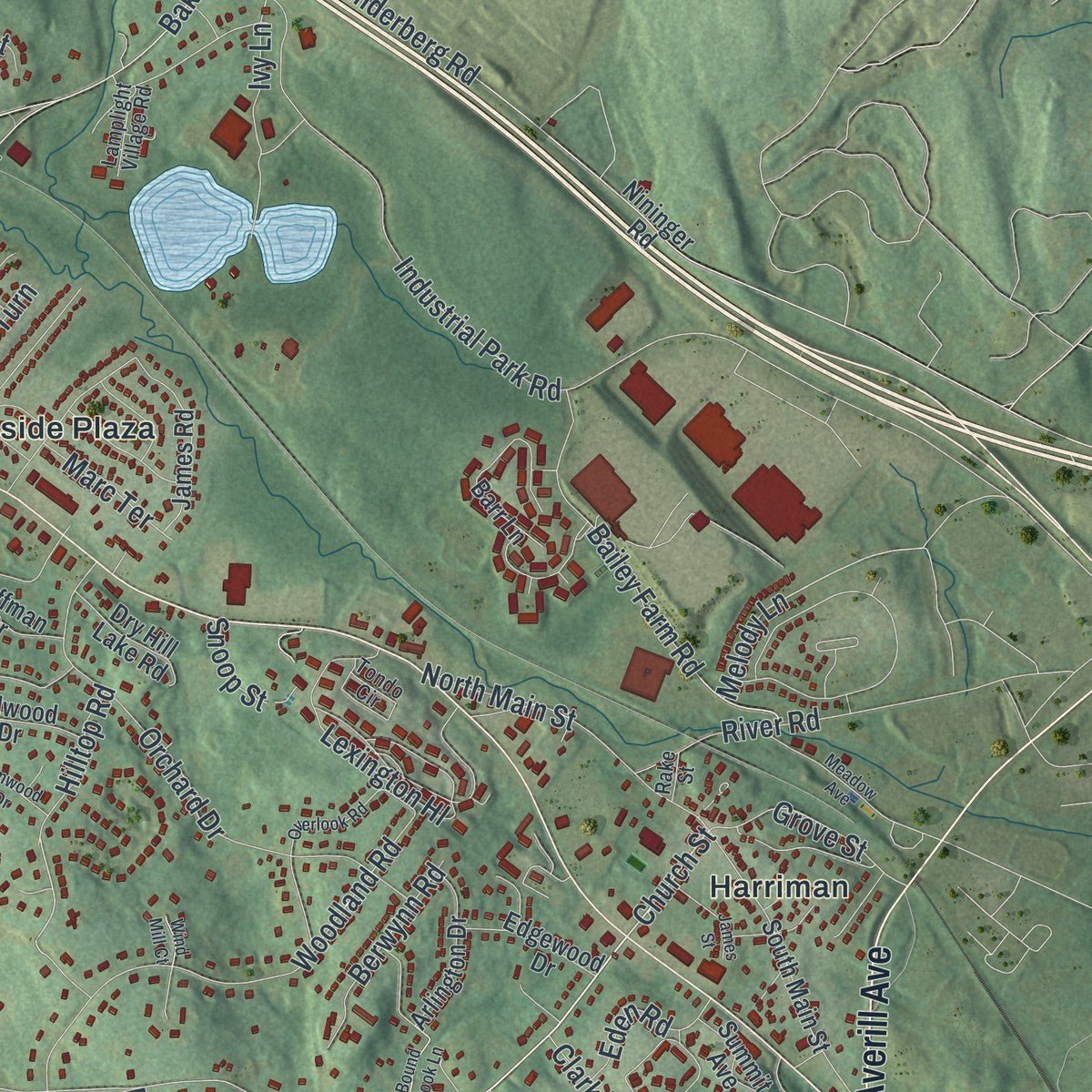
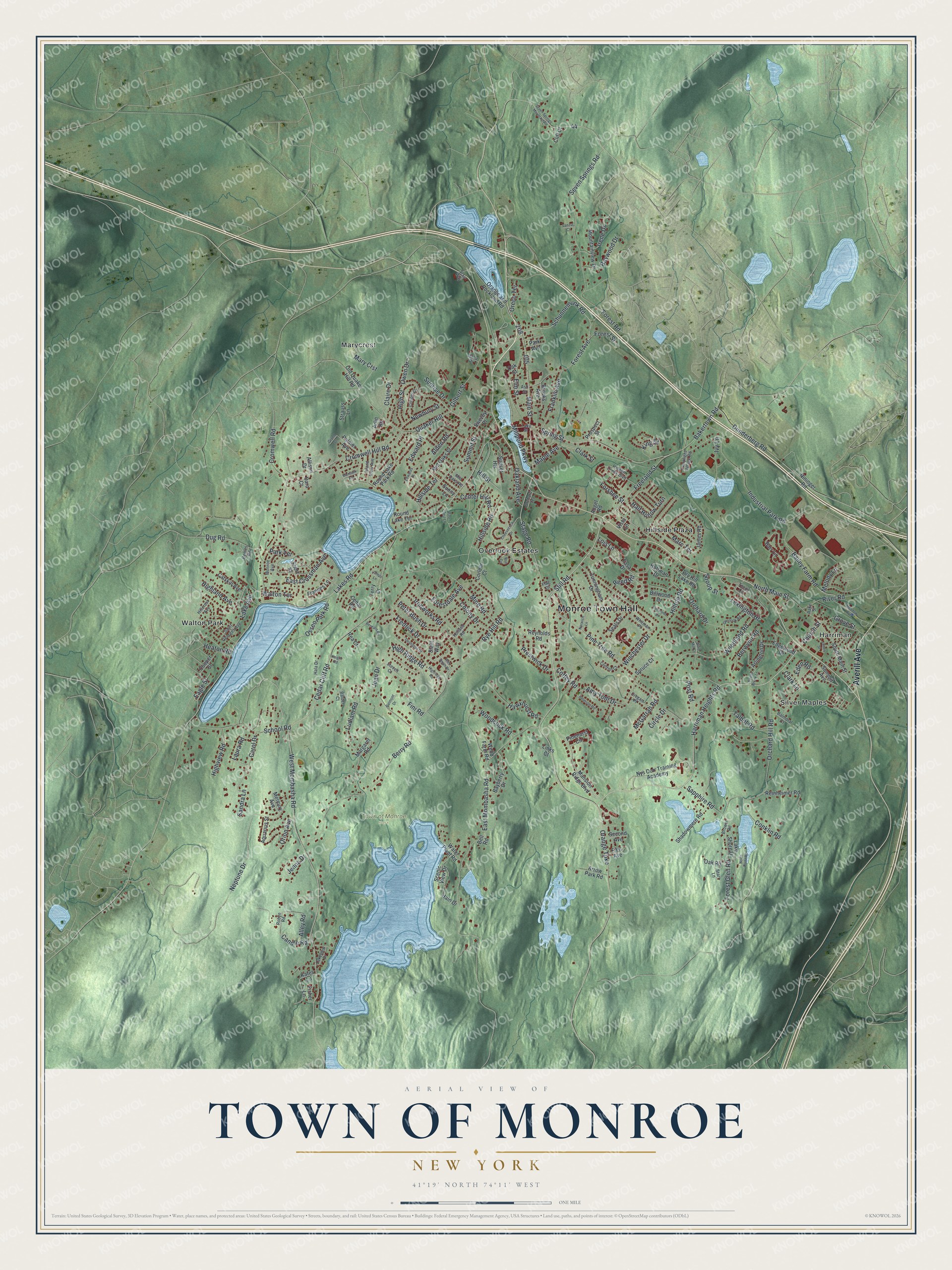
Explore Monroe, New York from a whole new perspective. Created using aerial imagery and detailed geographic data, this map captures Monroe building by building, with labeled streets, familiar landmarks, and shaded topographical relief that highlights the natural contours of the landscape.
Combining modern data with the timeless character of a vintage atlas, this map is just as interesting up close as it is beautiful on the wall. Whether you grew up in Monroe, spent memorable years there, or call it home today, this unique map is a great way to celebrate a place that means something to you. Zoom in on the preview to look for your street, and then order a print to put your memories on the wall.
Three ways to hang it
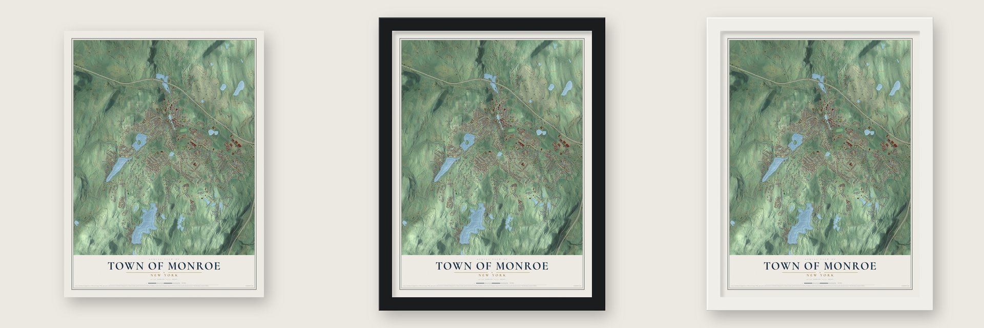
Unframed archival matte, a black wood frame or a white wood frame.
Up close
Geography Worth Displaying
This map was created using accurate cartographic data and authoritative geographic sources, including the U.S. Geological Survey (USGS) and FEMA. The map brings together terrain, waterways, roads, and building detail. The majority of the streets are labeled, houses are accurately depicted, and the topography is derived from government sources. Combining local data with carefully composed color and shading leads to this beautifully detailed Monroe artwork for your wall.
Rather than simply showing street outlines, we’ve included as many of the street names as we could reasonably fit on the map while keeping their names legible. Zoom in on the high resolution preview to see exactly what’s on the map. We truly set out to create a statement piece for anyone who loves Monroe. So whether it’s for you, or a gift for someone you love, we hope this map of Monroe brings back fond memories.
Explore the full map of Town of Monroe, New York and read about the local places it shows.

Find your street
Names on the Monroe map
Every name below is printed on this map. Look for your street, your school, the park where you played, or the pond down the road.
Places and landmarks8
- Monroe Town Hall
- Town of Monroe Park
- Harriman
- Hillside Plaza
- Marycrest
- Overlook Estates
- Silver Maples
- Walton Park
Streets and roads233
- Averill Avenue
- East Mombasha Road
- Orange Turnpike
- Harriman Heights Road
- Stage Road
- Schunnemunk Road
- Still Road
- Church Street
- Main Street
- Millpond Parkway
- Spring Street
- Maple Avenue
- Hilltop Road
- Melody Lane
- Circle Drive
- Mary Crst
- Elm Street
- Lakes Road
- Neptune Drive
- West Mombasha Road
- Rye Hill Road
- Cromwell Hill Road
- Cedar Cliff Road
- Pine Tree Road
- Mine Road
- High Street
- Berry Road
- Industrial Park Road
- Seven Springs Road
- Orchard Hill Road
Show all 233 streets
- Lexington Hl
- Quaker Hill
- Woodland Road
- Dunderberg Road
- Winchester Drive
- Ludlam Road
- Orchard Drive
- Fredrick Drive
- High Ridge Road
- Talbot Road
- Forest Avenue
- School Road
- Freeland Street
- Walton Terrace
- Amy Todt Drive
- Bakertown Road
- Bailey Farm Road
- Peter Bush Drive
- Candle Road
- Lake Avenue
- Reed Road
- Forest Glen Road
- Gilbert Street
- North Main Street
- Hillside Terrace
- Sapphire Road
- Osseo Park Road
- Woodcock Road
- Hawxhurst Road
- Dug Road
- Edward Place
- McGarrah Road
- Franklin Avenue
- Raywood Drive
- Highland Avenue
- Forestdale Avenue
- Carol Drive
- Cromwell Road
- Conklin Road
- Prestwick Drive
- Hillside Road
- East Crossman Avenue
- Colony Drive
- Half Hollow Turn
- Berwynn Road
- Alden Road
- Newbury Street
- Marc Terrace
- River Road
- Ivy Lane
- Center Hill Road
- Highview Road
- Ironworks Road
- Claire Drive
- Park Terrace
- Post Road
- Oakland Avenue
- Grove Street
- Alley Road
- Owen Drive
- King Street
- Sunrise Drive
- Clark Street
- Forest Street
- Orion Avenue
- Coffey Road
- Sandra Lane
- Eden Road
- Oreco Terrace
- Laura Road
- Jean Drive
- Summit Street
- Irene Drive
- Heaton Road
- Lois Lane
- Fini Road
- Clark Lane
- Forest Road
- Forshee Street
- Eagle Street
- Jenna Drive
- Snoop Street
- Hill Street
- Mansion Ridge Boulevard
- Old Quaker Hill Road
- Prospect Street
- Round Lake Park Road
- James Road
- Nys Corr Training Academy
- Barr Lane
- South Main Street
- Cunningham Drive
- Shadowmere Road
- Mountainview Drive
- Orange and Rockland Road
- Margaret Road
- Bayberry Drive
- Lake Shore Drive
- Reinheimer Road
- Reynolds Road
- Water Plant Road
- Summit Avenue
- Pinehurst Circle
- Strauss Lane
- Mid Oaks Street
- Seals Drive
- Arlington Drive
- Kates Lane
- Arlin Road
- Round Lake Terrace
- Edgewood Drive
- Dry Hill Lake Road
- Hain Drive
- Cooper Street
- Sunset Heights
- Catskill Avenue
- Oak Street
- Arrow Park Road
- Short Street
- Palmer Avenue
- Brooks Avenue
- Billwood Drive
- Aquarius Street
- Nininger Road
- Frances Lane
- Hoffman Drive
- Links Court
- Oak Road
- Angel Road
- Fisher Lane
- Corlear Court
- Webb Farm Road
- Second Avenue
- Spruce Court
- Mercury Avenue
- Park Avenue
- First Avenue
- Sunny Lane
- Swezey Place
- Fasa Drive
- Stahl Way
- Cedar Road
- Allison Drive
- Scenic View Drive
- Rea Court
- Cliff Court
- Terry Drive
- Dara Court
- Bell Road
- Vista Lane
- Lake Street
- Hidden Creek Boulevard
- Clinton Court
- Tondo Circle
- Lakeview Drive
- Whitman Place
- Island View Avenue
- Brower Road
- Saint Georges Avenue
- Orchard Terrace
- Holland Road
- Hala Drive
- Cregan Place
- Balmoral Court
- Monroe Avenue
- Lamplight Village Road
- Cooper Drive
- Mid Oaks Road
- Hillcrest Avenue
- Renies Road
- Starr Lane
- Steven Court
- Robyn Road
- Balder Court
- Ash Street
- Stair Way
- Dana Drive
- Rake Street
- Flag Drive
- Seven Springs Mountain Road
- Edwards Place
- Deangelis Drive
- Cheesecock Drive
- Overlook Road
- Highridge Road
- Meadow Avenue
- Peterson Road
- Roe Circle
- James Street
- Berdans Road
- Bound Brook Lane
- Elmwood Drive
- North Point Road
- Norwich Lane
- Montauk Road
- Alex Smith Drive
- Belmont Drive
- Pine Crest Lane
- Haight Road
- Lanzut Court
- Wind Mill Court
- Jamps Lane
- Grand Street
Names are listed as they appear on the printed map. Zoom into the product photos to find them.
About the Town of Monroe, New York
David Smith, a well-off miller from Smithtown on Long Island, was the first settler. He bought 276 acres from patentee Philip Livingston and built the first home. In 1741 he dammed the Ramapo River for a grist mill. That dam created the Mill Pond that is still here today.
The Clove Road was vital to the American side in the Revolutionary War. It passed through a rocky gap the Dutch called a kloof. British patrols on the Hudson never knew about it. Washington used it to escape from New York to his New Windsor headquarters.
- How the name changedThe town was created in 1799 as Cheescock's, from Algonquin words meaning upland. It became Southfields in 1802. On April 6, 1808, it took the name Monroe, first spelled Munroe.
Keep exploring New York
Town of Monroe is one of 2,112 New York towns we've mapped. Every dot on the map is a print of its own.
The search covers every state, New York first.
Near Town of Monroe
Order 2 or more town maps and save 10%. Shown in the size and finish you picked above, so they hang as a set.
- Village of Monroe 12" x 18" / Archival Matte Print $39.99
- Walton Park 12" x 18" / Archival Matte Print $39.99
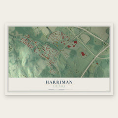
- Harriman 12" x 18" / Archival Matte Print $39.99

More maps nearby: Village of Tuxedo, Chester, South Blooming Grove and Town of Woodbury.
The art of mapping a place
How This Map Was Made
Real places. Remarkable detail. Discover the layers that turn geographic data into a map of home.

The view from above
Aerial imagery reveals the character of the land: woodland, open fields, and the patterns of a place.

The shape of the land
Elevation data brings hills, valleys, and subtle changes in the landscape into view.

The details of home
Roads, waterways, and building footprints come together to make the map feel unmistakably local.

Geography becomes art
Considered color, shading, and typography bring the layers together in a map made for your wall.


Process illustrated with Mendon, Massachusetts. Aerial imagery: USDA NAIP. Terrain: USGS 3D Elevation Program. Map details and finished artwork: KNOWOL.
The Details
About This Print
Choose an archival matte print, or a black or white Ayous wood frame. The archival matte print is unframed.
Select your size and finish above to see the matching product image and price.
Materials & Craftsmanship
A contemporary map with the character of a classic atlas, printed on archival matte paper. Optional frames are made from Ayous wood.
Your printed map does not include the watermark shown in the full-map preview.
Shipping & Delivery
Free shipping within the United States. Every print is made to order in the USA.
Buying a gift? Add a note in your cart and we'll include it. We never put prices in the package.
Prints ship within 2 to 3 business days. Allow 7 to 10 days total from ordering for delivery. Timing may vary during holidays or periods of high order volume.
Read our shipping policy.
Returns and damaged prints
Each print is made to order. Change-of-mind refunds are not available after production.
If your print arrives damaged, misprinted or incorrect, contact support@knowol.com within 30 days of receiving it. Include your order number, photos and a description of the issue.
Read our full refund and replacement policy. For questions about your order, email support@knowol.com.