
Search for another town
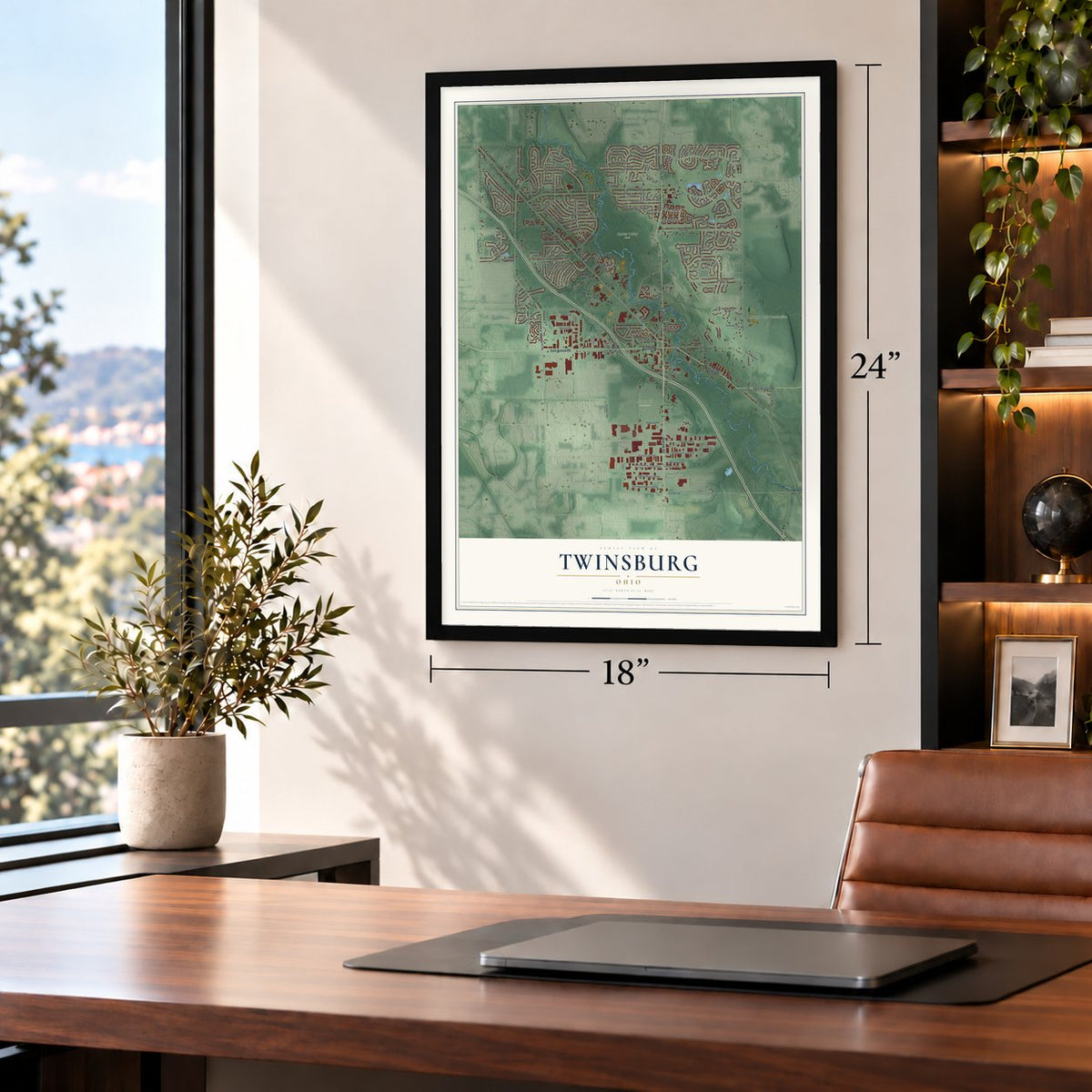
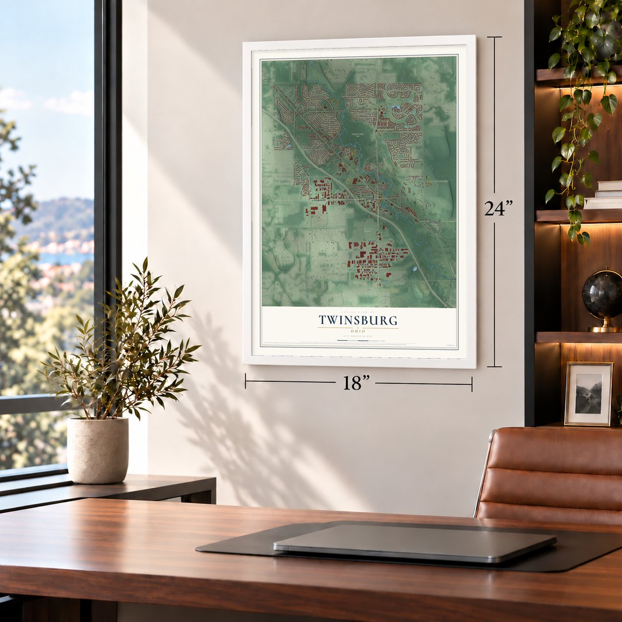
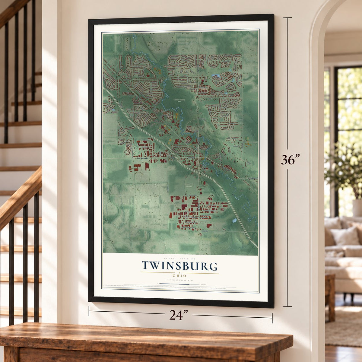
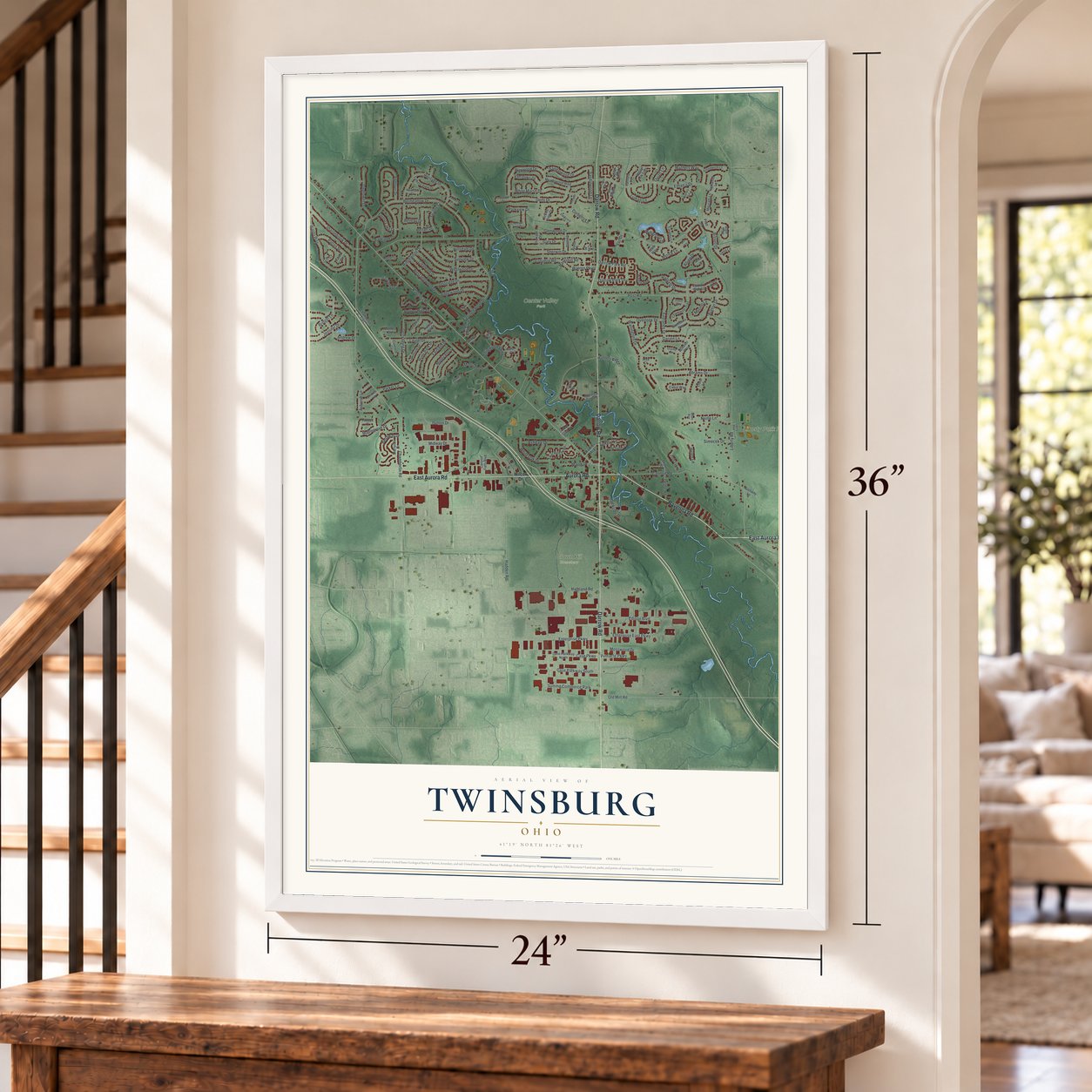
Free U.S. delivery 7 to 10 days after you order
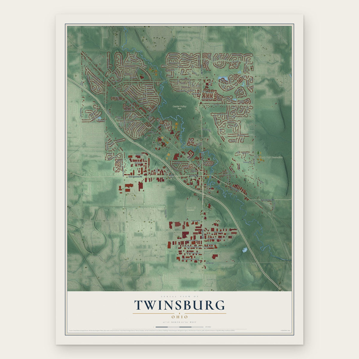
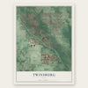
Twinsburg, Ohio Map Art
Building by building, with labeled streets and shaded relief.
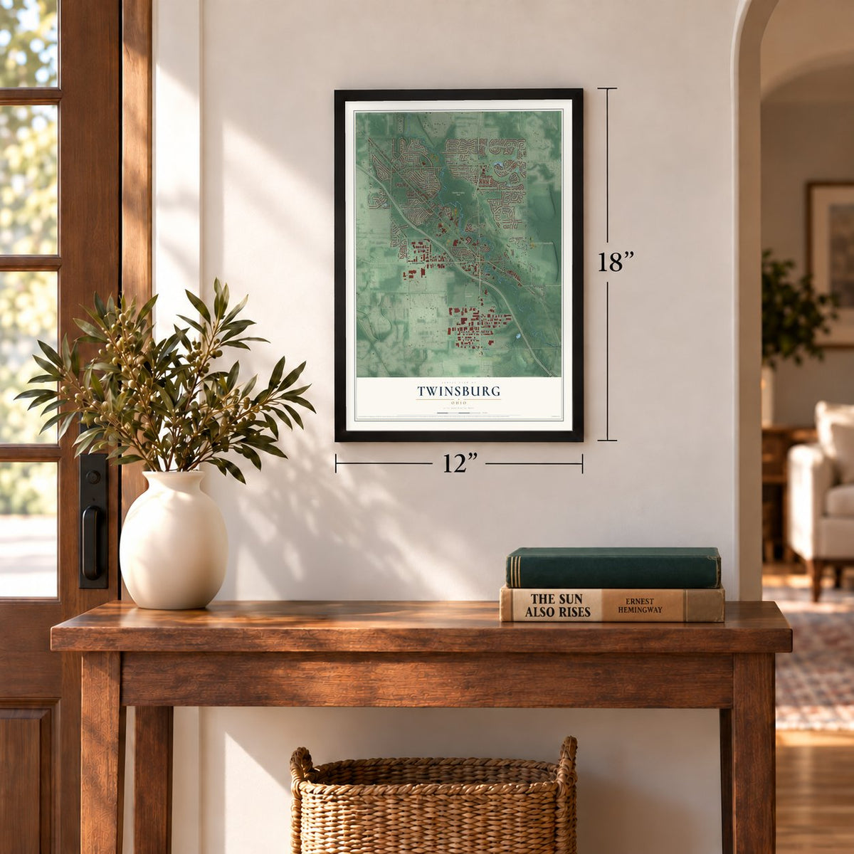
12" x 18" Archival Matte Print
A Map of Home. A Work of Art.
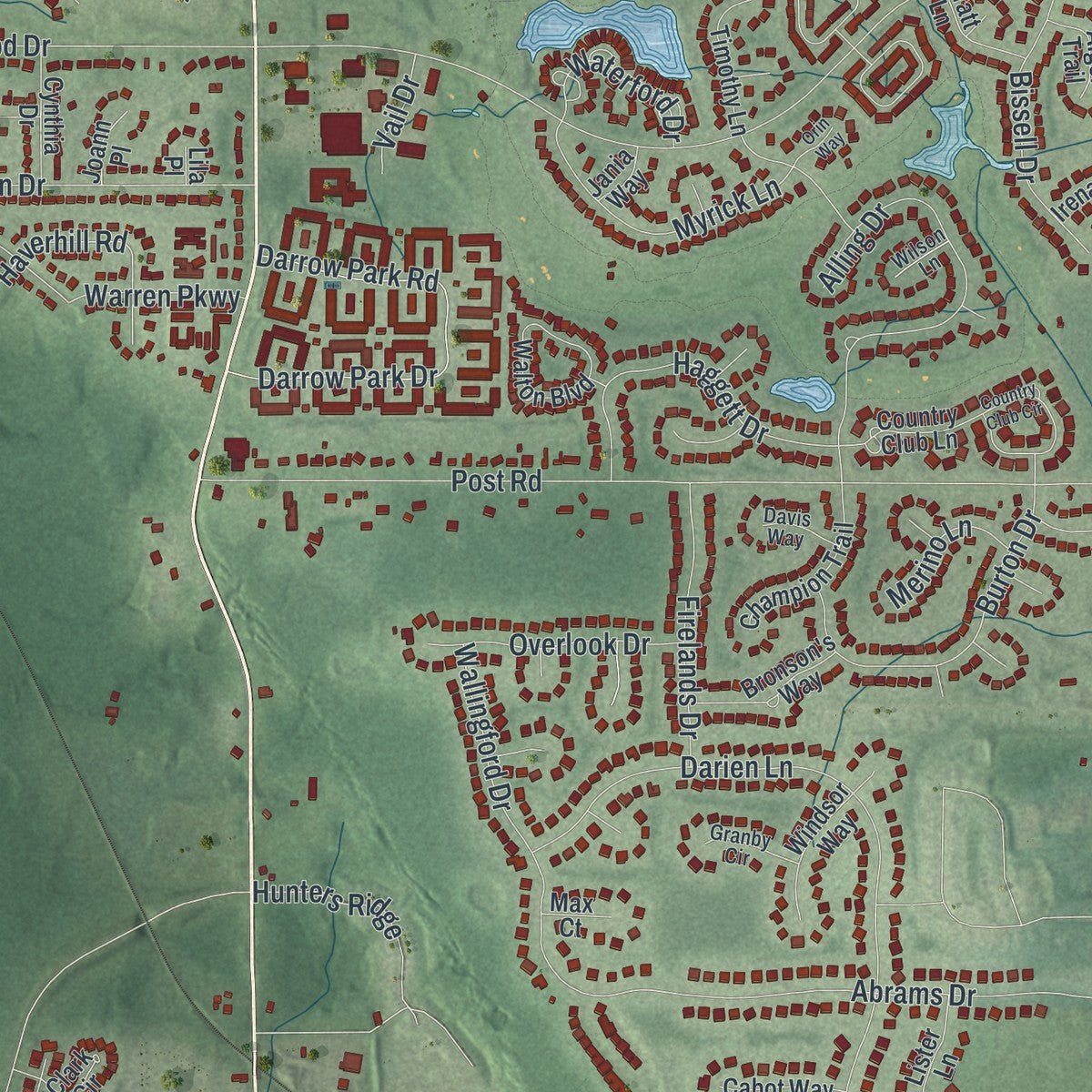
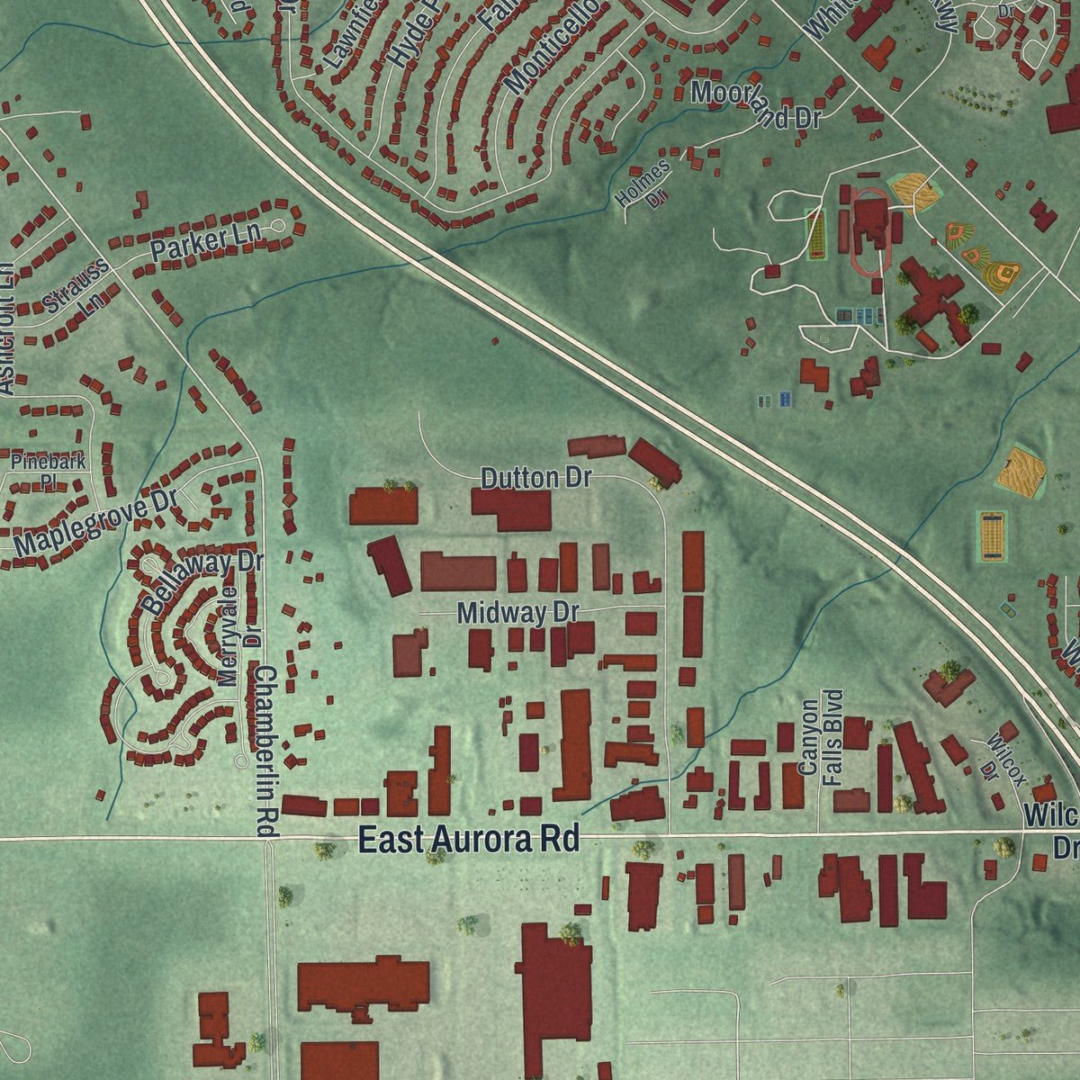
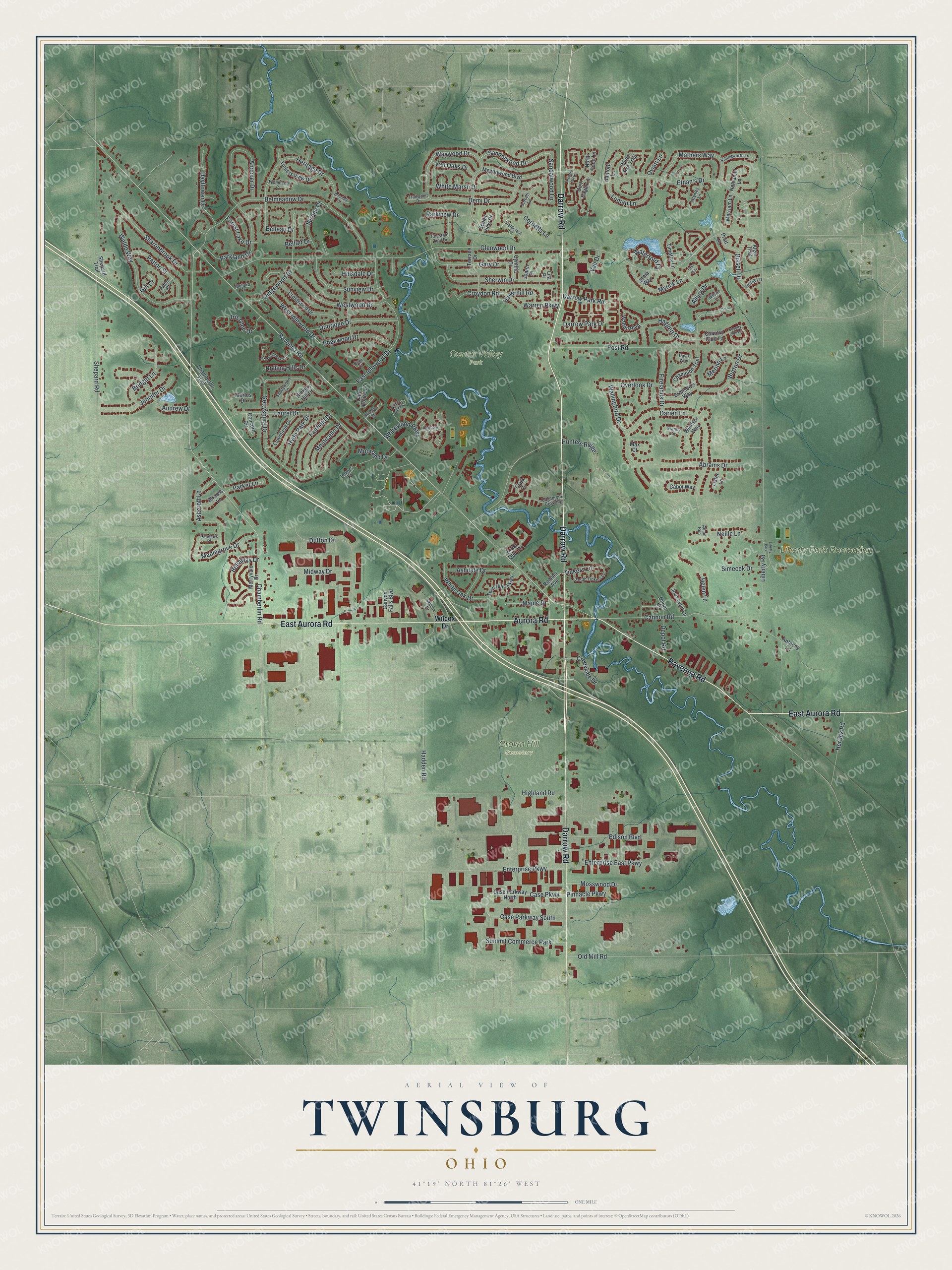
Explore Twinsburg, Ohio from a whole new perspective. Created using aerial imagery and detailed geographic data, this map captures Twinsburg building by building, with labeled streets, familiar landmarks, and shaded topographical relief that highlights the natural contours of the landscape.
Combining modern data with the timeless character of a vintage atlas, this map is just as interesting up close as it is beautiful on the wall. Whether you grew up in Twinsburg, spent memorable years there, or call it home today, this unique map is a great way to celebrate a place that means something to you. Zoom in on the preview to look for your street, and then order a print to put your memories on the wall.
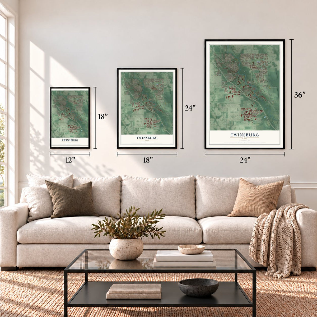
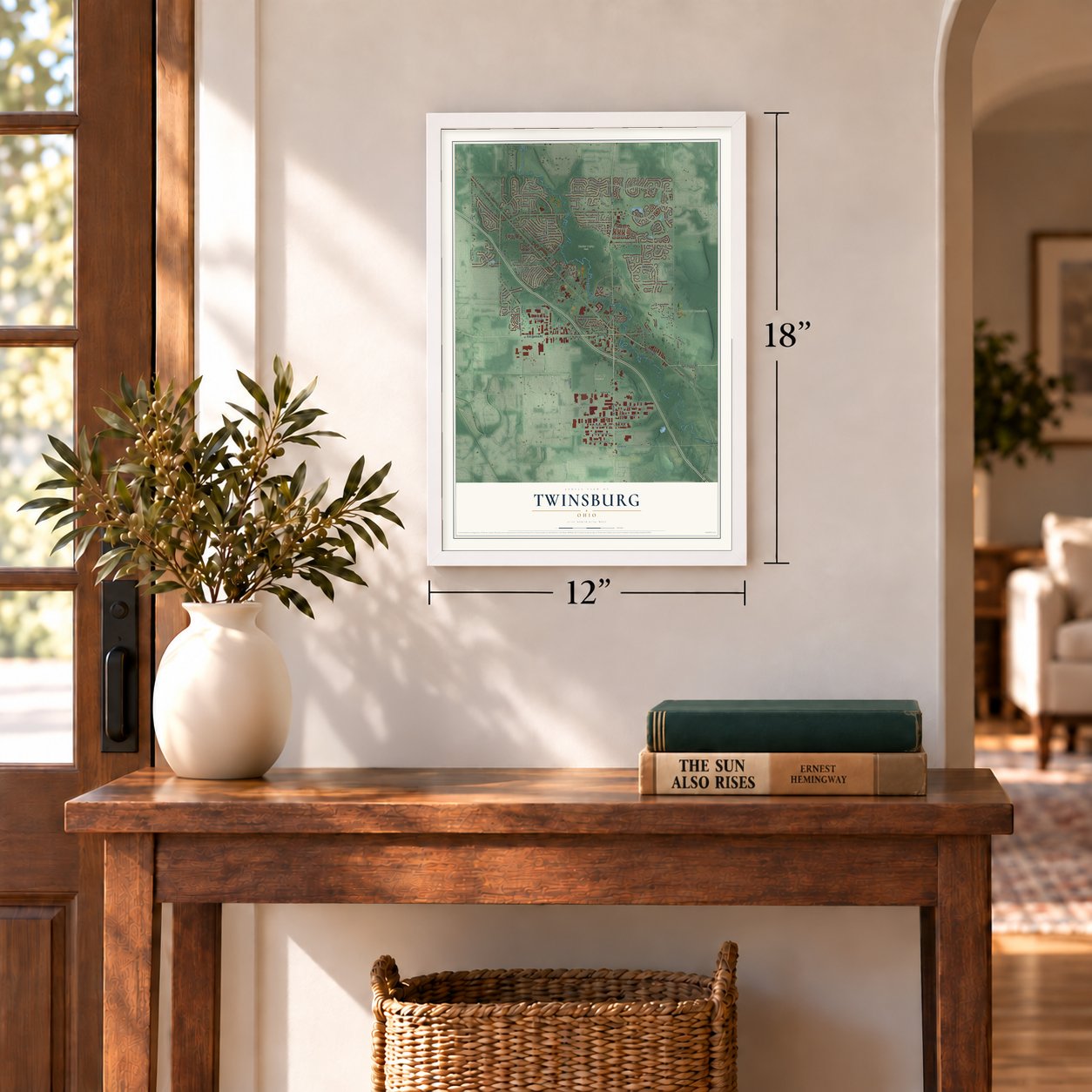
Three ways to hang it
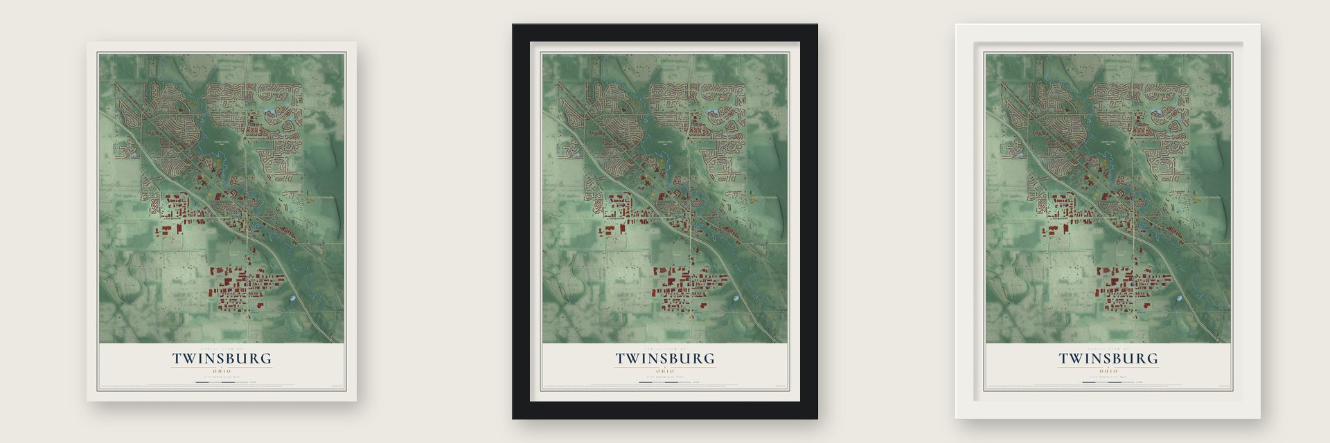
Unframed archival matte, a black wood frame or a white wood frame.
Up close
Geography Worth Displaying
This map was created using accurate cartographic data and authoritative geographic sources, including the U.S. Geological Survey and the Census Bureau. The map brings together terrain, waterways, roads, and building detail. The majority of the streets are labeled, houses are accurately depicted, and the topography is derived from government sources. Combining local data with carefully composed color and shading leads to this beautifully detailed Twinsburg artwork for your wall.
Rather than simply showing street outlines, we’ve included as many of the street names as we could reasonably fit on the map while keeping their names legible. Zoom in on the high resolution preview to see exactly what’s on the map. We truly set out to create a statement piece for anyone who loves Twinsburg. So whether it’s for you, or a gift for someone you love, we hope this map of Twinsburg brings back fond memories.
Read the story behind this map of Twinsburg, Ohio from 2026.
Find your street
Names on the Twinsburg map
Every name below is printed on this map. Look for your street, your school, the park where you played, or the pond down the road.
Places and landmarks5
- Center Valley Park
- Crown Hill Cemetery
- Liberty Park Recreation
- Summit Commerce Park
- Liberty Park
Streets and roads175
- Ravenna Road
- Darrow Road
- East Aurora Road
- Aurora Road
- Waywood Drive
- Sandalwood Drive
- Sandalwood Lane
- Chamberlin Road
- Bridget Lane
- Luman Lane
- Glenwood Drive
- Liberty Road
- Shepard Road
- Cannon Road
- Gettysburg Drive
- Ethan's Drive
- Belmeadow Drive
- Post Road
- East Idlewood Drive
- Darien Lane
- Abrams Drive
- Dutton Drive
- Highland Road
- Enterprise Parkway
- Old Mill Road
- Waldo Way
- Demi Drive
- Ridgewood Drive
- White Marsh Drive
- Sherwin Drive
Show all 175 streets
- Hadden Road
- Andover Drive
- Alling Drive
- Darrow Park Drive
- Darrow Park Road
- Westwood Drive
- Parkland Drive
- Sharonbrook Drive
- Laurel Drive
- Belleau Drive
- Case Parkway
- Ashcroft Lane
- Mathers Way
- Iris Glen Drive
- Dooridge Drive
- Gary Drive
- Burton Drive
- Sunview Drive
- Andrew Drive
- Heritage Drive
- Jennifer Drive
- Haggett Drive
- Simecek Drive
- Dayflower Drive
- Edison Boulevard
- Myrick Lane
- Case Parkway South
- Patton Street
- Enterprise East Parkway
- West Idlewood Drive
- Fairfield Drive
- Edgewood Drive
- Neille Lane
- Whitewood Parkway
- Bissell Drive
- Ashdale Drive
- Maplegrove Drive
- Croydon Road
- White Oak Drive
- Wallingford Drive
- Firelands Drive
- Monticello Drive
- Depot Road
- Hyde Park Drive
- Hunters Ridge
- Overlook Drive
- Corbetts Lane
- Mosswood Drive
- Midway Drive
- Bellaway Drive
- Haverhill Road
- Herrick Road
- Warren Parkway
- Serene Court
- Rolling Hills Drive
- Van Oaks Drive
- Waterford Drive
- Parker Lane
- Maple Drive
- Creekside Drive
- Forest Lake Drive
- Moorland Drive
- Parkview Drive
- Hillsdale Drive
- Pinnacle Parkway
- Tinkers Lane
- Merino Lane
- Helen Lane
- Vail Drive
- Belfair Drive
- Oviatt Lane
- Gill Court
- Wilcox Drive
- Meadowood Boulevard
- Case Parkway North
- Crestwood Drive
- Twin Hills Parkway
- White Ash Trail
- Arbor Glen Drive
- Depot Street
- Walton Boulevard
- Merryvale Drive
- Terrace Drive
- Lawnfield Drive
- Tinkers View Drive
- Glen Eagle Lane
- Champion Trail
- Jody Lynn Lane
- Scenic View Drive
- Bronson's Way
- Olde Pond Lane
- Timothy Lane
- Chamberlin Trail
- Country Club Lane
- Shepard Trail
- Canyon Falls Boulevard
- Windsor Way
- Merriam Lane
- Cynthia Drive
- Anthony Lane
- Strauss Lane
- Nathaniel Lane
- Hanford Lane
- Cabot Way
- Richner Avenue
- Pratt Lane
- North Pond Lane
- Alger Trail
- Hickory Hill Drive
- Lister Lane
- Concord Circle
- Mortus Drive
- Irena Lane
- Joann Place
- Clark Circle
- Jania Way
- Max Court
- Lila Place
- Edgebrook Crossing
- Chestnut Trail Drive
- Stone Creek Lane
- South Tinkers Lane
- Holmes Drive
- Killingworth Lane
- Heather Lane
- Shadywood Lane
- Stanley Lane
- Fieldcrest Lane
- Granby Circle
- Woodland Court
- Trailwood Drive
- Pinebark Place
- Davis Way
- Mallard Cv
- Patton Court
- Corbett Lane
- Wilson Lane
- Adam Run
- Altamont Drive
- Country Club Circle
- Pebble Creek Drive
- Orchard Hill Lane
- Briardale Court
- Ridge Court
- Orin Way
Names are listed as they appear on the printed map. Zoom into the product photos to find them.
About Twinsburg, Ohio
Twinsburg is a suburban city in Summit County, positioned midway between Akron and Cleveland. Its name reflects a proposal by identical twins Moses and Aaron Wilcox, who offered land and school funding if residents renamed the settlement. Local history is preserved in the First Congregational Church, Locust Grove Cemetery, and a museum operated by the Twinsburg Historical Society.
- 2020 PopulationTwinsburg counted 19,248 residents in the 2020 census.
- Ethan AllingAt age 16, Ethan Alling settled in Millsville in 1817 and later served as Twinsburg's postmaster.
- Congregational ChurchOrganized on August 23, 1822, the First Congregational Church received its own building in 1848 and its present spire in 1857.
- Cemetery VaultBuilt from nearby sandstone in 1872, the Locust Grove Cemetery vault held bodies when frozen ground prevented winter burials.
- Twins DaysTwins Days began in 1976 and now welcomes around 3,000 sets annually as the world's largest annual gathering of twins.
Keep exploring Ohio
Twinsburg is one of 1,389 Ohio towns we've mapped. Every dot on the map is a print of its own.
The search covers every state, Ohio first.
Near Twinsburg
Order 2 or more town maps and save 10%. Shown in the size and finish you picked above, so they hang as a set.
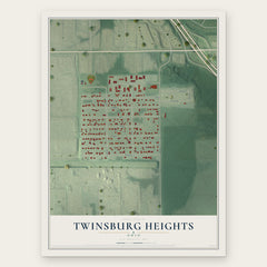
- Twinsburg Heights 12" x 18" / Archival Matte Print $39.99
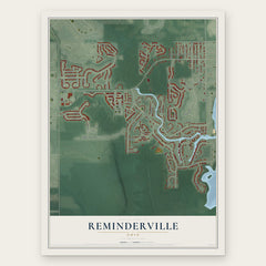
- Reminderville 12" x 18" / Archival Matte Print $39.99
- Glenwillow 12" x 18" / Archival Matte Print $39.99

More maps nearby: Macedonia, Solon, Oakwood, Northfield and Hudson.
The art of mapping a place
How This Map Was Made
Real places. Remarkable detail. Discover the layers that turn geographic data into a map of home.

The view from above
Aerial imagery reveals the character of the land: woodland, open fields, and the patterns of a place.

The shape of the land
Elevation data brings hills, valleys, and subtle changes in the landscape into view.

The details of home
Roads, waterways, and building footprints come together to make the map feel unmistakably local.

Geography becomes art
Considered color, shading, and typography bring the layers together in a map made for your wall.


Process illustrated with Mendon, Massachusetts. Aerial imagery: USDA NAIP. Terrain: USGS 3D Elevation Program. Map details and finished artwork: KNOWOL.
The Details
About This Print
Choose an archival matte print, or a black or white Ayous wood frame. The archival matte print is unframed.
Select your size and finish above to see the matching product image and price.
Materials & Craftsmanship
A contemporary map with the character of a classic atlas, printed on archival matte paper. Optional frames are made from Ayous wood.
Your printed map does not include the watermark shown in the full-map preview.
Shipping & Delivery
Free shipping within the United States. Every print is made to order in the USA.
Buying a gift? Add a note in your cart and we'll include it. We never put prices in the package.
Prints ship within 2 to 3 business days. Allow 7 to 10 days total from ordering for delivery. Timing may vary during holidays or periods of high order volume.
Read our shipping policy.
Returns and damaged prints
Each print is made to order. Change-of-mind refunds are not available after production.
If your print arrives damaged, misprinted or incorrect, contact support@knowol.com within 30 days of receiving it. Include your order number, photos and a description of the issue.
Read our full refund and replacement policy. For questions about your order, email support@knowol.com.