
Search for another town



Free U.S. delivery 7 to 10 days after you order
Union City, Tennessee Map Art
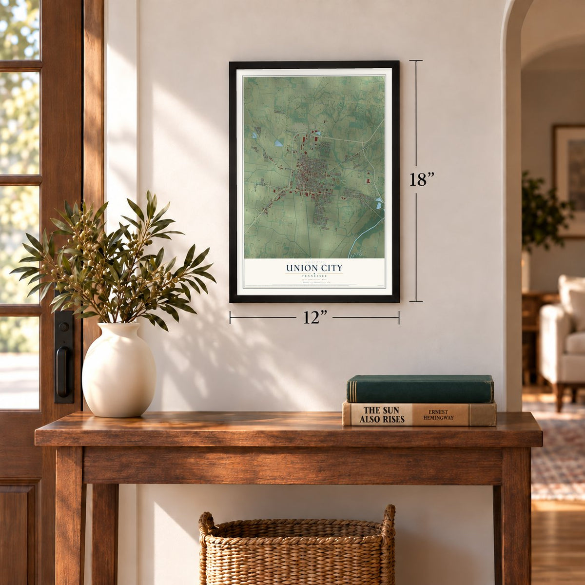
A new map of Union City, Tennessee, made in 2026 and printed to order on thick archival matte paper.
12" x 18" Archival Matte Print
A Map of Home. A Work of Art.
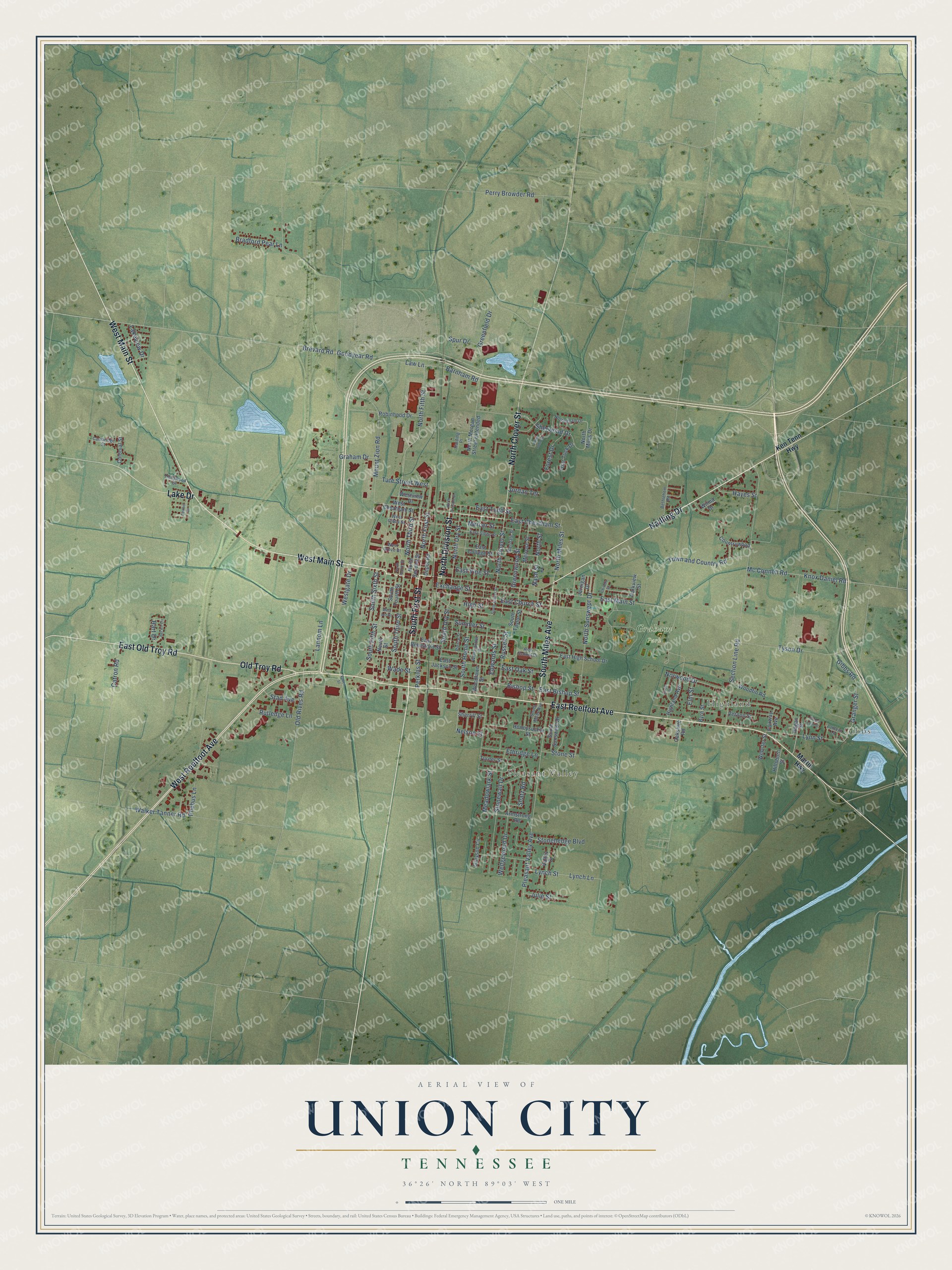
Explore Union City, Tennessee from a whole new perspective. Created using aerial imagery and detailed geographic data, this map captures Union City building by building, with labeled streets, familiar landmarks, and shaded topographical relief that highlights the natural contours of the landscape.
Combining modern data with the timeless character of a vintage atlas, this map is just as interesting up close as it is beautiful on the wall. Whether you grew up in Union City, spent memorable years there, or call it home today, this unique map is a great way to celebrate a place that means something to you. Zoom in on the preview to look for your street, and then order a print to put your memories on the wall.
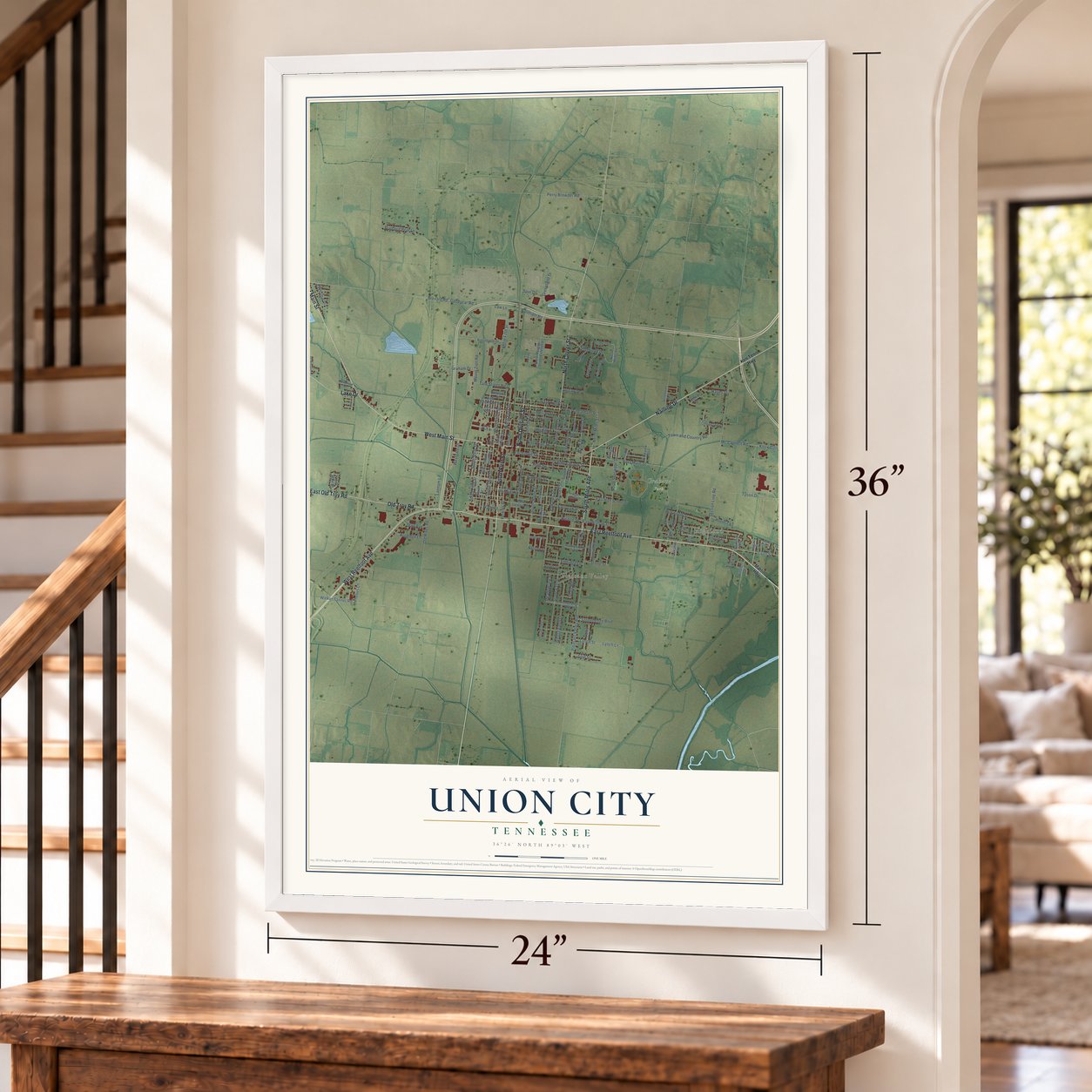
Three ways to hang it
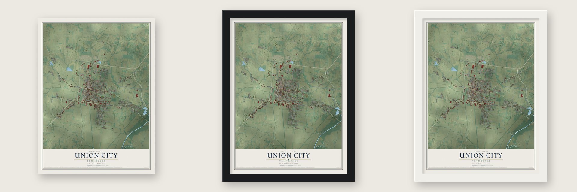
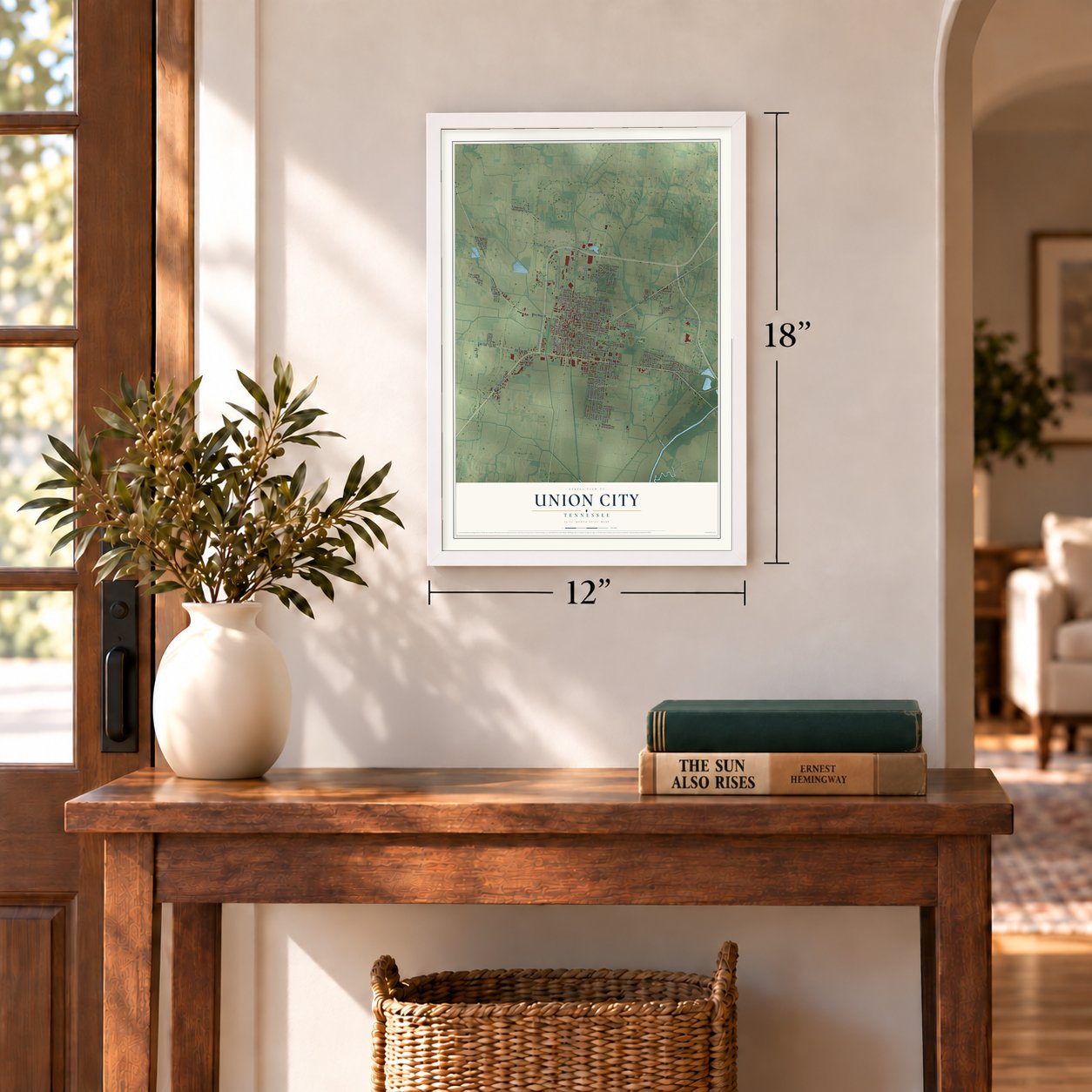
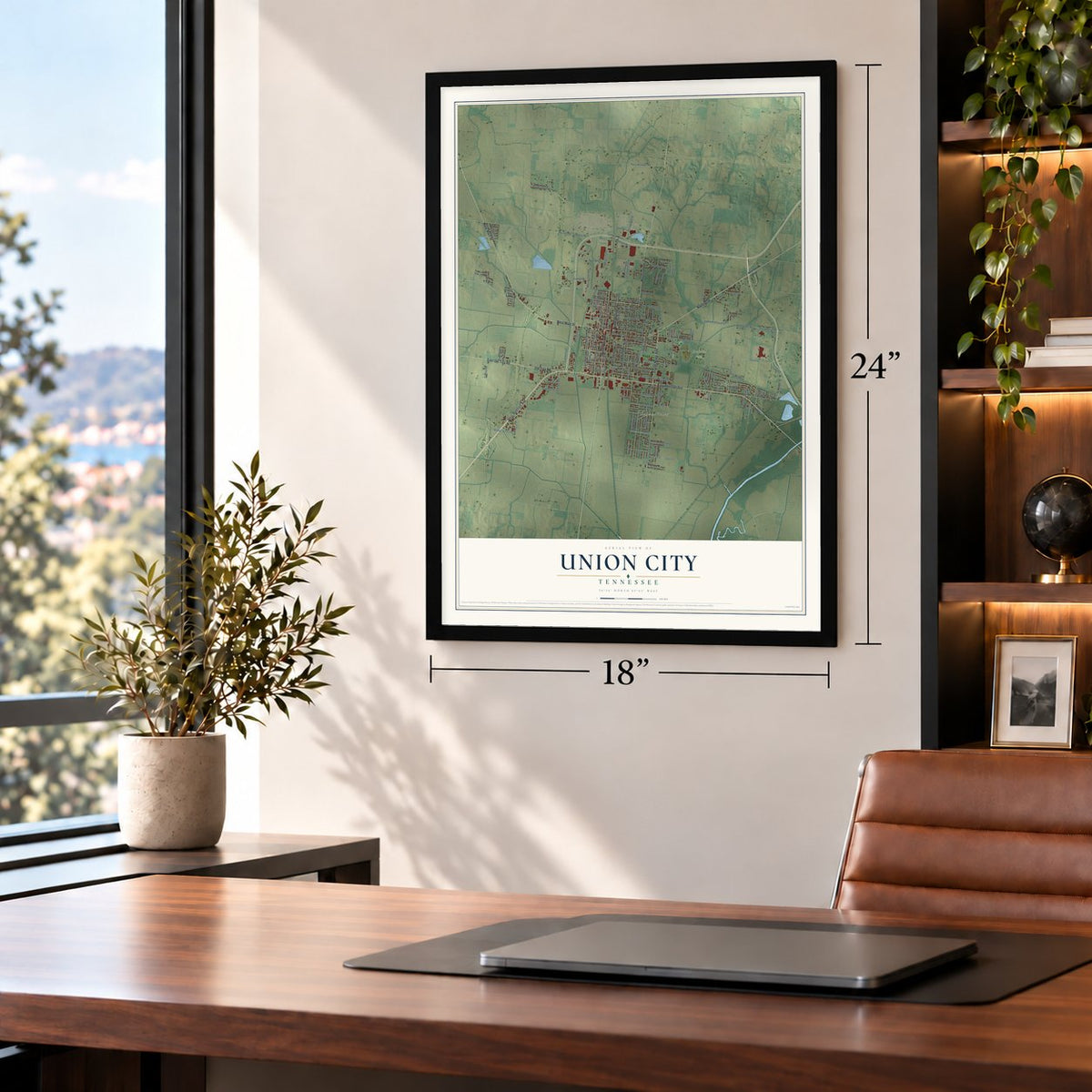
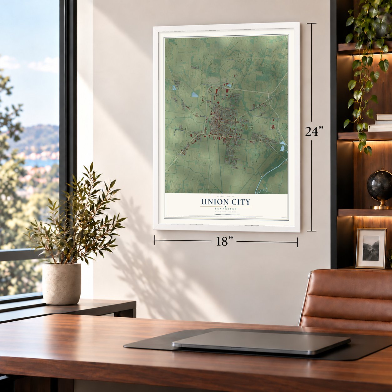
Unframed archival matte, a black wood frame or a white wood frame.
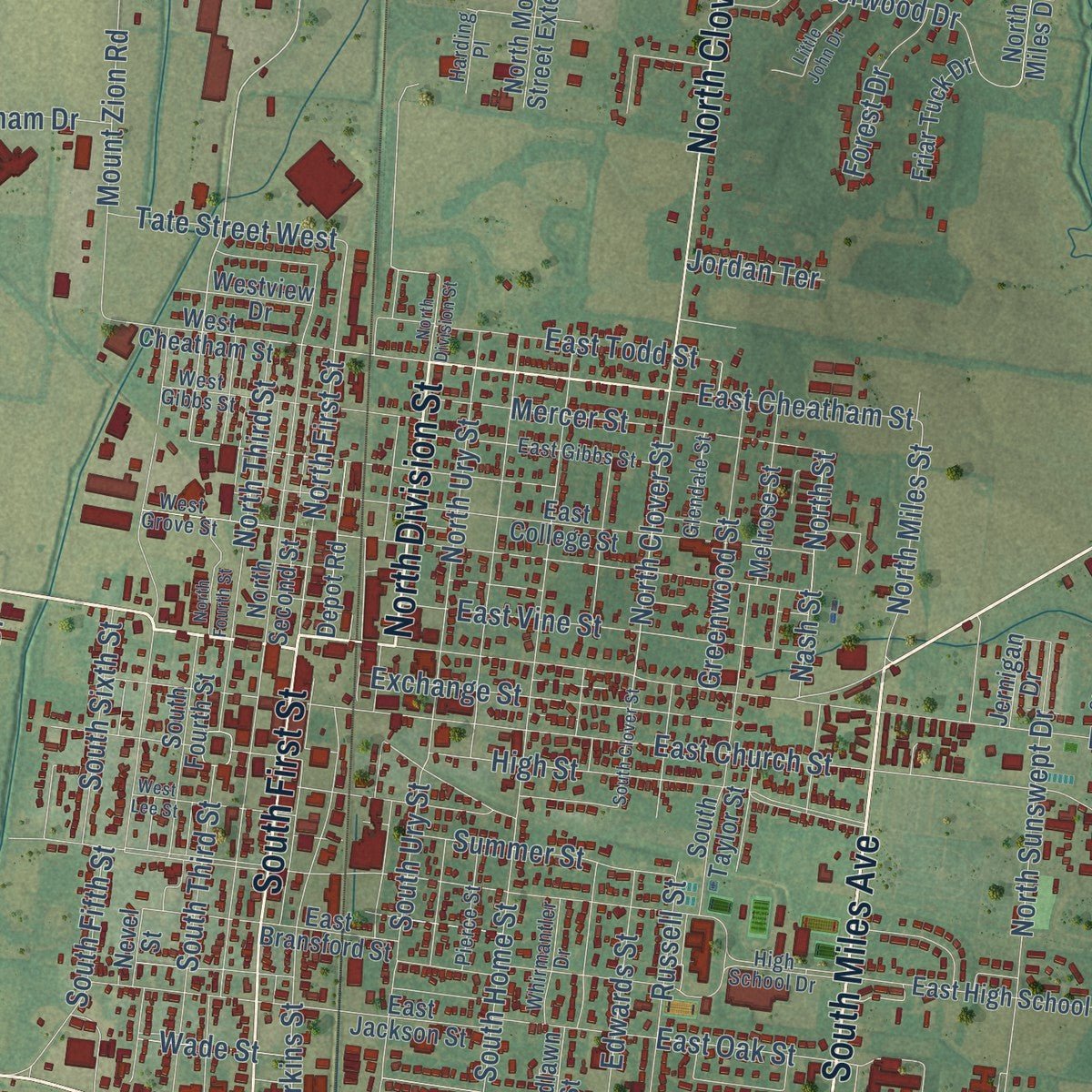
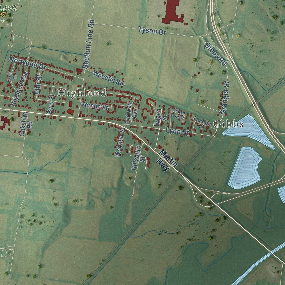
Up close
Geography Worth Displaying
This map was created using accurate cartographic data and authoritative geographic sources, including the U.S. Geological Survey and the Census Bureau. The map brings together terrain, waterways, roads, and building detail. The majority of the streets are labeled, houses are accurately depicted, and the topography is derived from government sources. Combining local data with carefully composed color and shading leads to this beautifully detailed Union City artwork for your wall.
Rather than simply showing street outlines, we’ve included as many of the street names as we could reasonably fit on the map while keeping their names legible. Zoom in on the high resolution preview to see exactly what’s on the map. We truly set out to create a statement piece for anyone who loves Union City. So whether it’s for you, or a gift for someone you love, we hope this map of Union City brings back fond memories.
Read the story behind this map of Union City, Tennessee from 2026.

About Union City, Tennessee
Union City is the county seat of Obion County, a city of 11,170 people in northwest Tennessee. In 1852 General George Gibbs named it for the spot where two railroads met: the Nashville and Northwestern line from Hickman, Kentucky, and the Mobile and Ohio. Early in 1861 the Confederates set up Camp Brown a mile north of town, and as many as ten thousand soldiers gathered there before General Leonidas Polk moved into Kentucky and took Columbus that September.
By the early 1880s business and manufacturing had recovered. Trains carried furniture and lumber from the county's factories and sawmills to eastern markets, and Union City grew into a trading center. Its people then pushed to take the county seat away from Troy. After a long public argument and a court fight, Union City won a close referendum, and in July 1890 the county records went to a new courthouse in town.
“Unable to take the Federal stronghold at Union City by storm, the Confederates devised a “Quaker cannon” from a black painted log and wagon wheels and successfully demanded unconditional surrender in Forrest’s name.”
- Goodyear tires, 1969 to 2011The Goodyear Tire & Rubber Company ran a plant in Union City from 1969. On February 10, 2011, the company said it would close the plant, and the last tires came off the line on June 11, 2011. Titan Tire bought the building that November, planning at first to mix raw materials there for its other factories.
- Three baseball championshipsThe Union City Greyhounds played minor league ball from 1935 to 1942 and again from 1946 to 1952, then became the Union City Dodgers from 1953 to 1955. As members of the Kentucky-Illinois-Tennessee League, they took league titles in 1936, 1948 and 1954. Over those years the team was an affiliate of four major league clubs: the St. Louis Cardinals, the Cincinnati Reds, the Cleveland Indians and the Brooklyn Dodgers.
- Discovery Park of AmericaLocal businessman Robert Kirkland founded Discovery Park of America as a way to give back to the town he came from. The 50-acre museum and heritage park covers local and national history, military history, nature, art and science.
- A theater since the early 1900sThe Capitol Theatre on South First Street has stood since the early 1900s. It joined the National Register in 1999, and the Masquerade Theatre now puts on its shows in the old building.
Find your street
Names on the Union City map
Every name below is printed on this map. Look for your street, your school, the park where you played, or the pond down the road.
Places and landmarks4
- Gibbs
- Highland
- Pleasant Valley
- Graham Park
Streets and roads151
- West Main Street
- North Division Street
- West Reelfoot Avenue
- East Reelfoot Avenue
- Old Troy Road
- East Old Troy Road
- Nailling Drive
- South Miles Avenue
- North Clover Street
- South First Street
- Lake Drive
- Brevard Road
- Goodyear Road
- Barnham Road
- North Fifth Street
- Lynn Street
- North First Street
- East Cheatham Street
- South Home Street
- North Street
- South Ury Street
- Mount Zion Road
- East Main Street
- Section Line Road
- Pleasant Valley Avenue
- East Church Street
- Gibbs Road
- Phebus Lane
- Bishop Street
- East Bishop Street
Show all 151 streets
- Sherwood Drive
- Town and Country Road
- High Street
- Edwards Street
- Tyson Drive
- Knox Daniel Road
- Mc Connell Road
- Stonewall Drive
- Greenfield Drive
- South Fifth Street
- Lynch Lane
- Lynch Street
- East Oak Street
- South Third Street
- East Vine Street
- Granger Street
- Walker Tanner Road
- Perkins Street
- Perry Browder Road
- Wedgewood Drive
- Mercer Street
- Exchange Street
- Law Lane
- East Todd Street
- Old Rives Road
- North Ury Street
- Graham Drive
- Russell Street
- Stonehedge Boulevard
- North Third Street
- North Sunswept Drive
- Norwood Drive
- Greenwood Street
- North Miles Street
- Lannom Lane
- Summer Street
- Ethridge Lane
- Nash Street
- Tate Street West
- South Sixth Street
- Shatz Road
- Rutledge Lane
- Bradford Pear Lane
- Julie Street
- Forest Drive
- Catron Road
- Meadowlark Street
- Elm Street
- Hayes Street
- Westgate Drive
- Stad Avenue
- Stone Street
- Lakeview Drive
- Wade Street
- Spur Drive
- Jordan Terrace
- Nelson Street
- Hart Drive
- Martin Highway
- Ken Tenn Highway
- Hagan Street
- West Cheatham Street
- East High School Drive
- North Miles Drive
- North Second Street
- East College Street
- East Bransford Street
- Armstrong Road
- South Sunswept Drive
- Robinhood Drive
- South Fourth Street
- Grayson Circle
- North Morgan Street Extended
- East Jackson Street
- Countrywood
- South Taylor Street
- Honeysuckle Street
- Highland Avenue
- Parkview Street
- Melrose Street
- Depot Road
- Woodfin Road
- Vernon Street
- Friar Tuck Drive
- Westview Drive
- Colonial Street
- Woodlawn Street
- Sherrill Street
- Jernigan Drive
- Webster Street
- Hillsboro Street
- Oakshire Road
- Byrn Street
- Fairway Avenue
- Turner Street
- Valley Drive
- Nevel Street
- Wilma Drive
- West Grove Street
- Nottingham Drive
- East Gibbs Street
- West Gibbs Street
- Bethlehem Road
- Glendale Street
- Pierce Street
- Whirmantler Drive
- High School Drive
- Cambridge Street
- Hollywood Drive
- Lantern Lane
- Harding Place
- South Clover Street
- Vaden Street
- Bel Air Circle
- North Fourth Street
- Circle Drive
- West Lee Street
- Little John Drive
- Denver Drive
- Chivers Street
- Green Leaf Street
Names are listed as they appear on the printed map. Zoom into the product photos to find them.
The art of mapping a place
How This Map Was Made
Real places. Remarkable detail. Discover the layers that turn geographic data into a map of home.

The view from above
Aerial imagery reveals the character of the land: woodland, open fields, and the patterns of a place.

The shape of the land
Elevation data brings hills, valleys, and subtle changes in the landscape into view.

The details of home
Roads, waterways, and building footprints come together to make the map feel unmistakably local.

Geography becomes art
Considered color, shading, and typography bring the layers together in a map made for your wall.


Process illustrated with Mendon, Massachusetts. Aerial imagery: USDA NAIP. Terrain: USGS 3D Elevation Program. Map details and finished artwork: KNOWOL.
The Details
About This Print
Choose an archival matte print, or a black or white Ayous wood frame. The archival matte print is unframed.
Select your size and finish above to see the matching product image and price.
Materials & Craftsmanship
A contemporary map with the character of a classic atlas, printed on archival matte paper. Optional frames are made from Ayous wood.
Your printed map does not include the watermark shown in the full-map preview.
Shipping & Delivery
Free shipping within the United States. Every print is made to order in the USA.
Buying a gift? Add a note in your cart and we'll include it. We never put prices in the package.
Prints ship within 2 to 3 business days. Allow 7 to 10 days total from ordering for delivery. Timing may vary during holidays or periods of high order volume.
Read our shipping policy.
Returns and damaged prints
Each print is made to order. Change-of-mind refunds are not available after production.
If your print arrives damaged, misprinted or incorrect, contact support@knowol.com within 30 days of receiving it. Include your order number, photos and a description of the issue.
Read our full refund and replacement policy. For questions about your order, email support@knowol.com.
Find your town
Looking for another city?
Find a map of home in our Tennessee collection, or any town in the country.
Nearby
Maps of towns near Union City
Know someone from one of these towns? Their map makes a great gift.
 Woodland Mills
, Tennessee
From $39.99See the map
 Rives
Rives, Tennessee
From $39.99See the map
 Troy
Troy, Tennessee
From $39.99See the map
More maps nearby: South Fulton, Martin, Obion, Hornbeak and Kenton.