
Search for another town


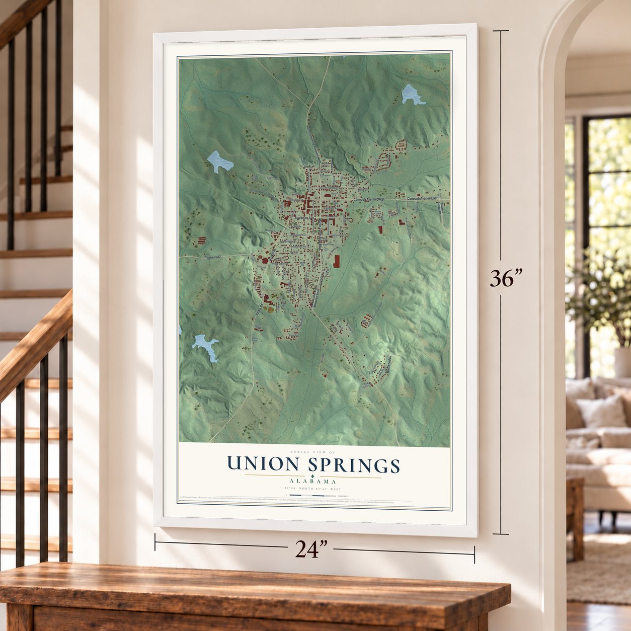
Free U.S. delivery 7 to 10 days after you order
Union Springs, Alabama Map Art
A new map of Union Springs, Alabama, made in 2026 and printed to order on thick archival matte paper.
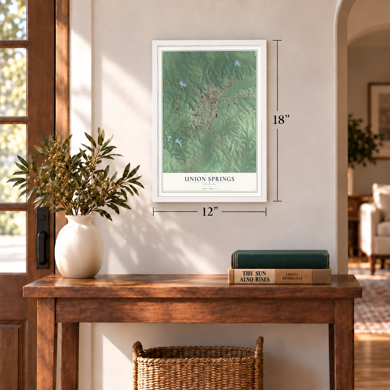
12" x 18" Archival Matte Print
A Map of Home. A Work of Art.
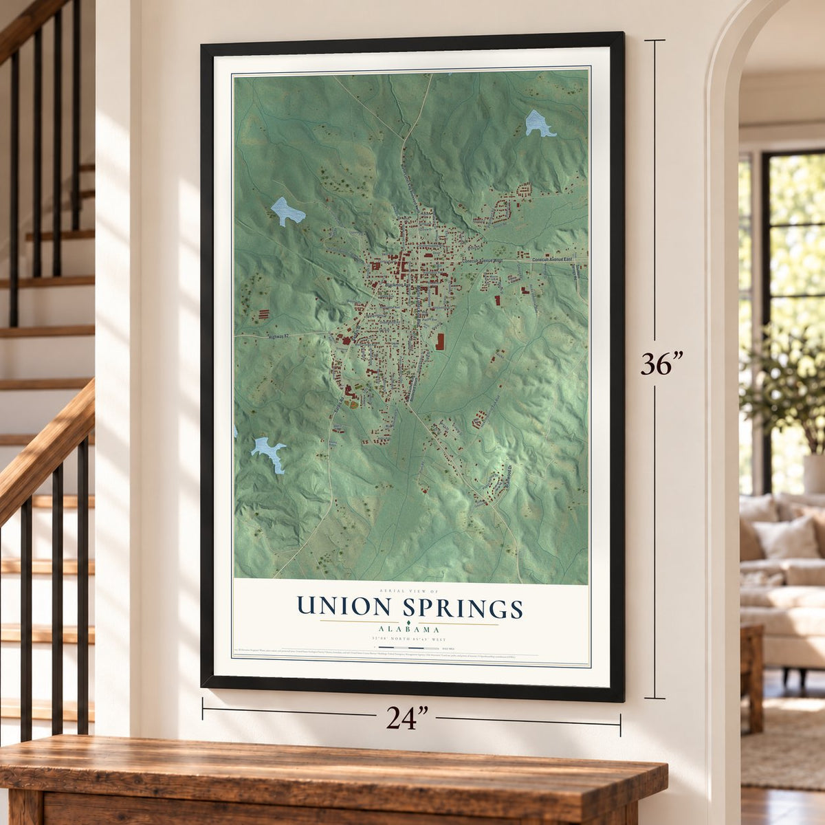
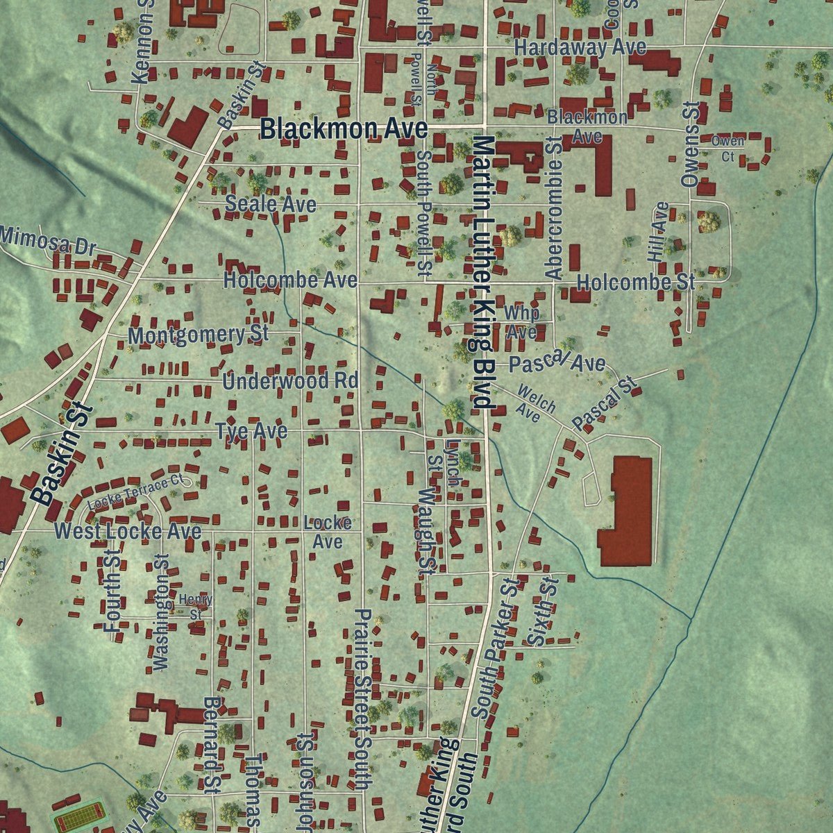
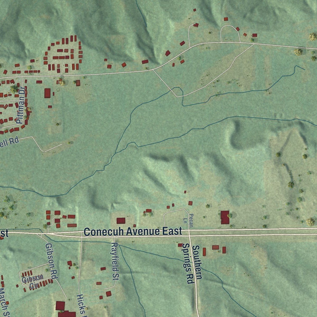
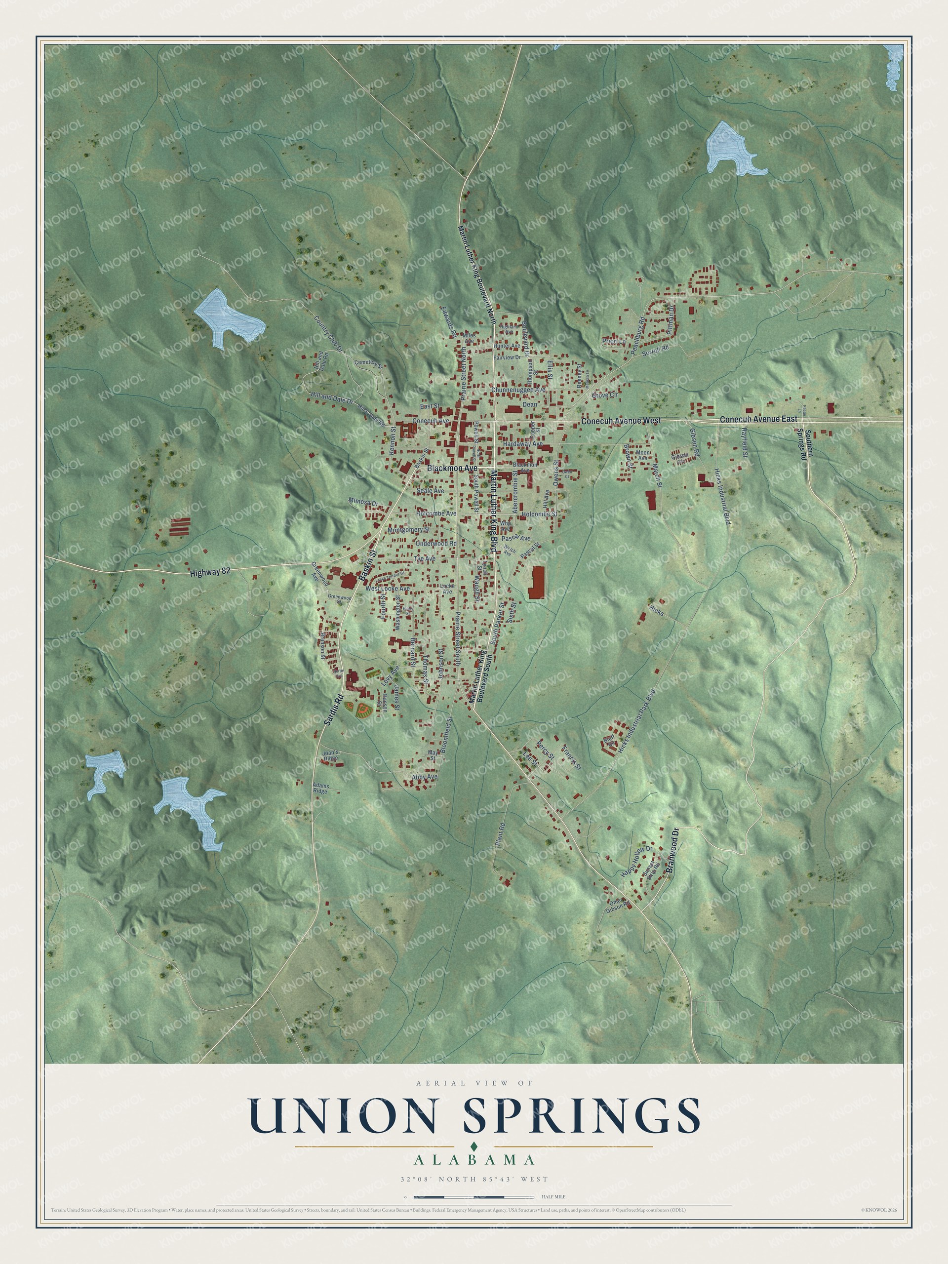
Explore Union Springs, Alabama from a whole new perspective. Created using aerial imagery and detailed geographic data, this map captures Union Springs building by building, with labeled streets, familiar landmarks, and shaded topographical relief that highlights the natural contours of the landscape.
Combining modern data with the timeless character of a vintage atlas, this map is just as interesting up close as it is beautiful on the wall. Whether you grew up in Union Springs, spent memorable years there, or call it home today, this unique map is a great way to celebrate a place that means something to you. Zoom in on the preview to look for your street, and then order a print to put your memories on the wall.
Three ways to hang it
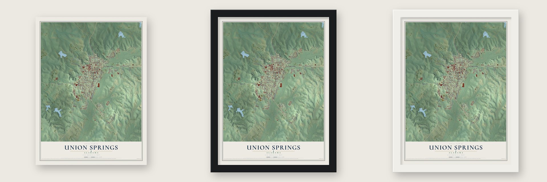
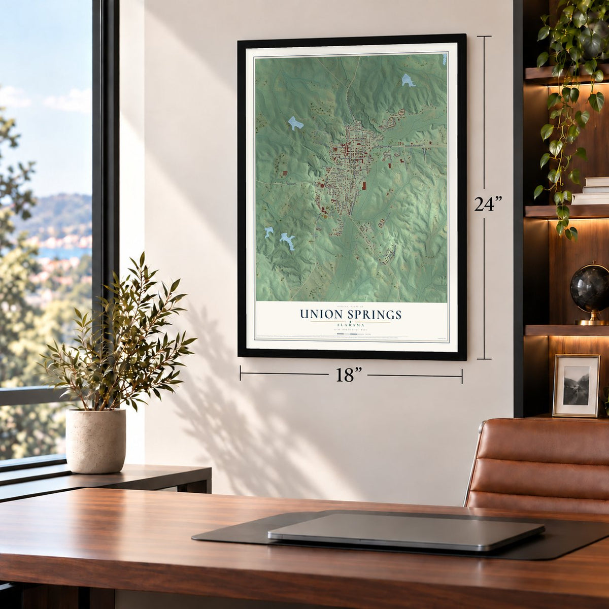
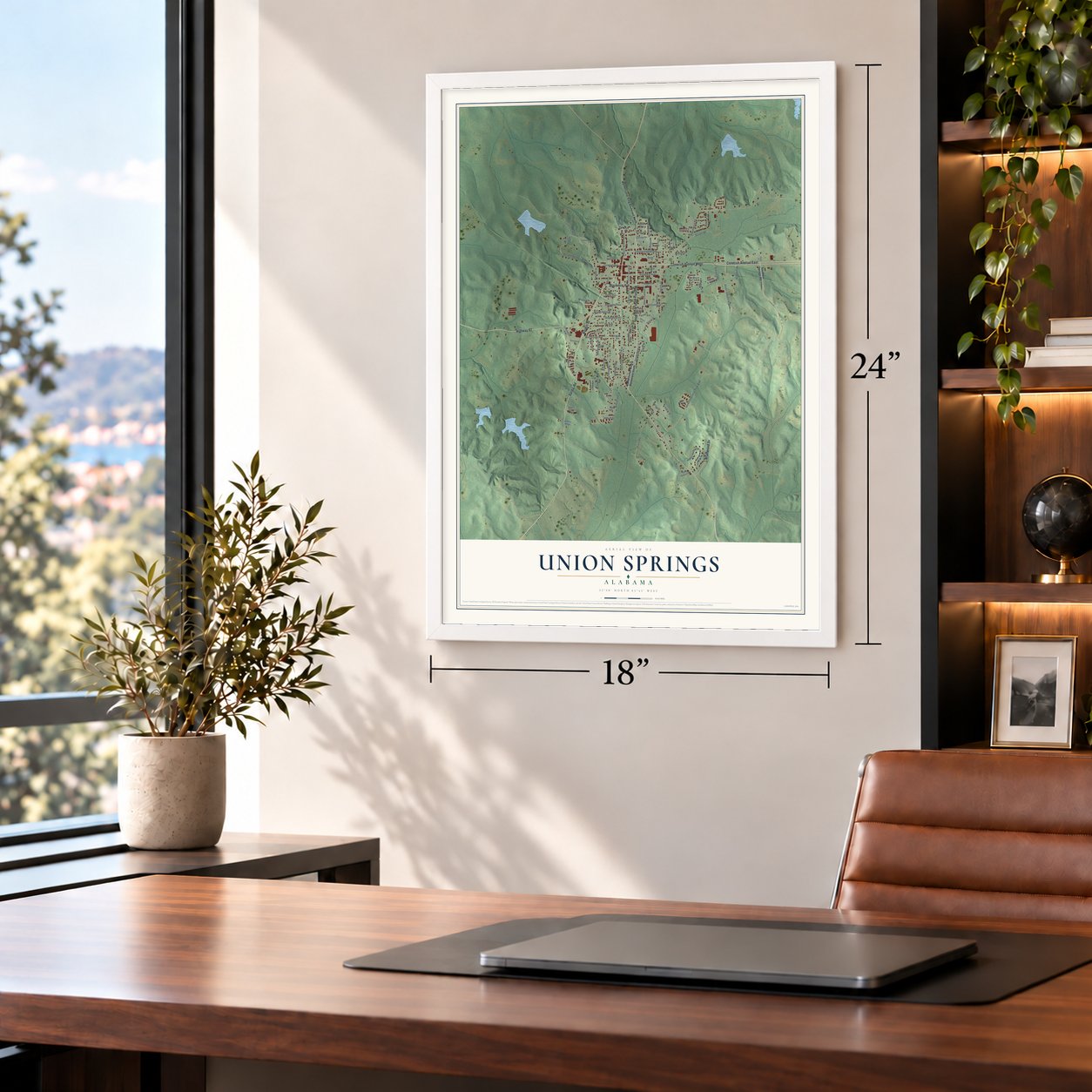
Unframed archival matte, a black wood frame or a white wood frame.
Up close
Geography Worth Displaying
This map was created using accurate cartographic data and authoritative geographic sources, including the U.S. Geological Survey and the Census Bureau. The map brings together terrain, waterways, roads, and building detail. The majority of the streets are labeled, houses are accurately depicted, and the topography is derived from government sources. Combining local data with carefully composed color and shading leads to this beautifully detailed Union Springs artwork for your wall.
Rather than simply showing street outlines, we’ve included as many of the street names as we could reasonably fit on the map while keeping their names legible. Zoom in on the high resolution preview to see exactly what’s on the map. We truly set out to create a statement piece for anyone who loves Union Springs. So whether it’s for you, or a gift for someone you love, we hope this map of Union Springs brings back fond memories.
Read the story behind this map of Union Springs, Alabama from 2026.

About Union Springs, Alabama
Union Springs is a city of 3,358 people in Alabama's Black Belt. Settlers moved in after the Creek removal of the 1830s, and in 1836 families such as the Normans, Powells and Fosters made homes here. They named the town for the 27 springs that flow from Chunnenuggee Ridge, where the Conecuh River begins. The town was incorporated on January 13, 1844, while it still belonged to Macon County. When Bullock County was formed in 1866, voters made Union Springs its seat.
Cotton made the town wealthy before the Civil War. It had no river for shipping, so planters sent their crops to market in Columbus, Georgia, on the Mobile and Girard Railway, and cotton barons built mansions along the ridge. The war left most of the town standing, but Reconstruction and Emancipation brought hard years. By 1885 Union Springs had recovered as the junction of two railroads, with an oil mill and a planing mill, and cotton mills soon followed.
- A garden club from 1847Dr. Norborne Berkley Powell reached Alabama in 1838 and bought several thousand acres on the ridge the Creeks called TCHA-NA-NAGHI, meaning long, high ridge. He deeded land for a public garden for $1.00. On March 6, 1847, local gardeners formed the Chunnenuggee Ridge Horticultural Society and planted five acres of rare fruits, flowers and shrubs that same year, with a circular garden house and a shrub maze called the Lover's Knot.
- Bird dogs on Maytag's landBy the 1920s, game preserves had taken over many old cotton plantations around Union Springs. Lewis B. Maytag, the hunter behind the Maytag appliance line, put together the 14,000-acre Sedgefields Plantation, and the land became a favorite place for bird dog field trials. The trials still run every year from October to March, drawing handlers from around the country to see how well their dogs point out hidden game birds.
- Virginia Foster Durr's childhood homeOne of the mansions cotton barons built on the ridge was the Foster-Chapman House, put up in 1843 in the Moorish Revival style. The civil rights activist Virginia Foster Durr grew up in it.
- From church to theaterTrinity Episcopal Church had seventeen communicants in 1925 and fewer than eleven by 1993. The diocese gave the building to the city in exchange for two acres of donated land, and it was deconsecrated on August 28, 2002. Renamed the Red Door Theater, it opened with a reading of Conecuh People, a play about Bullock County lives that was staged four times in April 2004.
- Bonnie Plants, since 1918Bonnie Plants started in Union Springs in 1918. It became the biggest company in the country raising vegetable and herb plants in pots, and it now runs facilities in all 50 states. Its revenue topped $250 million by 2020, and it remains a major employer in the city.
Find your street
Names on the Union Springs map
Every name below is printed on this map. Look for your street, your school, the park where you played, or the pond down the road.
Streets and roads101
- Martin Luther King Boulevard
- Blackmon Avenue
- Baskin Street
- Conecuh Avenue East
- Conecuh Avenue West
- Sardis Road
- Branwood Drive
- Highway 82
- Prairie Street South
- Prairie Street North
- Conecuh Avenue
- Grove Circle
- Peachburg Road
- Hardaway Avenue
- Hicks Industrial Park Boulevard
- Johnson Street
- Country Club Drive
- March Street
- Thomas Street
- Kennon Street
- Holcombe Street
- Tye Avenue
- Bloomfield Street
- Abby Avenue
- Owens Street
- Hill and Dale Drive
- West Locke Avenue
- Chunnenuggee Avenue
- Plant Road
- South Parker Street
Show all 101 streets
- Waugh Street
- Hicks Industrial Boulevard
- Seale Avenue
- Abercrombie Street
- Ellis Street
- Bernard Street
- Happy Hollow Drive
- Levy Avenue
- Percy Street
- Underwood Road
- Pittman Drive
- Mimosa Drive
- Boulevard Drive
- Pascal Avenue
- Holcombe Avenue
- Lee Street
- Gibson Road
- Montgomery Street
- Rayfield Street
- Sorrell Road
- Brown Street
- Hicks
- Francis Street
- Edwards Road
- James Street
- East Street
- Fourth Street
- Priori Lane
- Dean
- Sixth Street
- Martin Luther King Boulevard South
- Martin Luther King Boulevard North
- Southern Springs Road
- Powell Street
- South Powell Street
- Brunson Street
- Cemetery Street
- Hill and Dale Road
- Hunter Avenue
- Gibson Circle
- Fairview Drive
- Washington Street
- Sunset Strip Road
- Hill & Dale Road
- Cooper Street
- Bluff Circle
- Lynch Street
- Locke Avenue
- Pascal Street
- Hill Avenue
- Thompson Street
- Greenwood Avenue
- Whp Avenue
- Omer Gibson Road
- Adams Ridge
- Joan's Ridge
- Reeney Street
- Moon Avenue
- Hanson Street
- May Street
- Miles Avenue
- Greenwood Street
- Highland Avenue
- Welch Avenue
- North Powell Street
- Pecan Lane
- Locke Terrace Court
- Melissa Lane
- Owen Court
- Henry Street
- Herrin Avenue
Names are listed as they appear on the printed map. Zoom into the product photos to find them.
The art of mapping a place
How This Map Was Made
Real places. Remarkable detail. Discover the layers that turn geographic data into a map of home.

The view from above
Aerial imagery reveals the character of the land: woodland, open fields, and the patterns of a place.

The shape of the land
Elevation data brings hills, valleys, and subtle changes in the landscape into view.

The details of home
Roads, waterways, and building footprints come together to make the map feel unmistakably local.

Geography becomes art
Considered color, shading, and typography bring the layers together in a map made for your wall.


Process illustrated with Mendon, Massachusetts. Aerial imagery: USDA NAIP. Terrain: USGS 3D Elevation Program. Map details and finished artwork: KNOWOL.
The Details
About This Print
Choose an archival matte print, or a black or white Ayous wood frame. The archival matte print is unframed.
Select your size and finish above to see the matching product image and price.
Materials & Craftsmanship
A contemporary map with the character of a classic atlas, printed on archival matte paper. Optional frames are made from Ayous wood.
Your printed map does not include the watermark shown in the full-map preview.
Shipping & Delivery
Free shipping within the United States. Every print is made to order in the USA.
Buying a gift? Add a note in your cart and we'll include it. We never put prices in the package.
Prints ship within 2 to 3 business days. Allow 7 to 10 days total from ordering for delivery. Timing may vary during holidays or periods of high order volume.
Read our shipping policy.
Returns and damaged prints
Each print is made to order. Change-of-mind refunds are not available after production.
If your print arrives damaged, misprinted or incorrect, contact support@knowol.com within 30 days of receiving it. Include your order number, photos and a description of the issue.
Read our full refund and replacement policy. For questions about your order, email support@knowol.com.
Find your town
Looking for another city?
Find a map of home in our Alabama collection, or any town in the country.
Nearby
Maps of towns near Union Springs
Know someone from one of these towns? Their map makes a great gift.
 Fitzpatrick
, Alabama
From $39.99See the map
 Midway
, Alabama
From $39.99See the map
 Hurtsboro
, Alabama
From $39.99See the map
More maps nearby: Tuskegee, Franklin, Clayton, Banks and Shorter.