
Search for another town


Free U.S. delivery 7 to 10 days after you order
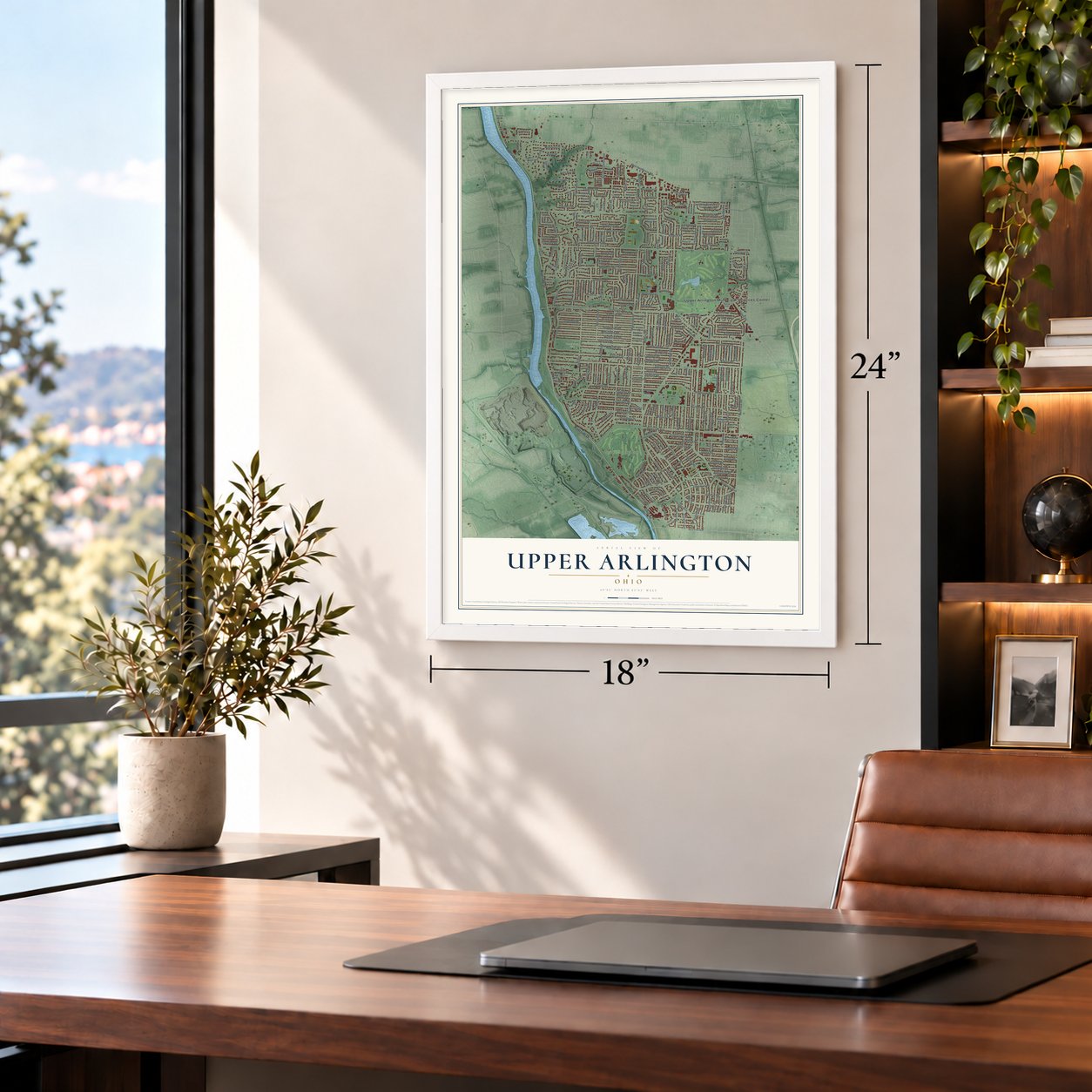
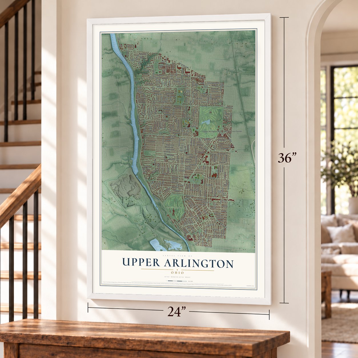
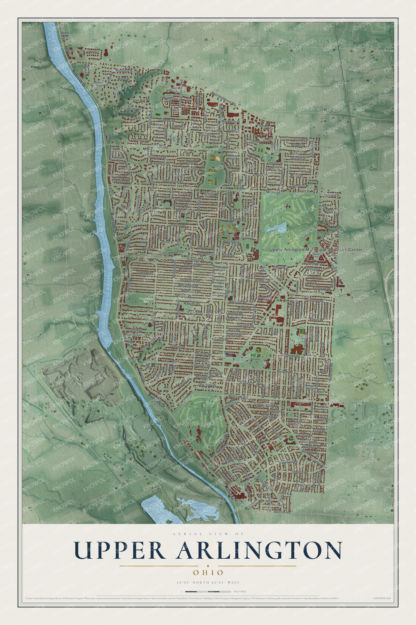
Upper Arlington, Ohio Map Art
Building by building, with labeled streets and shaded relief.
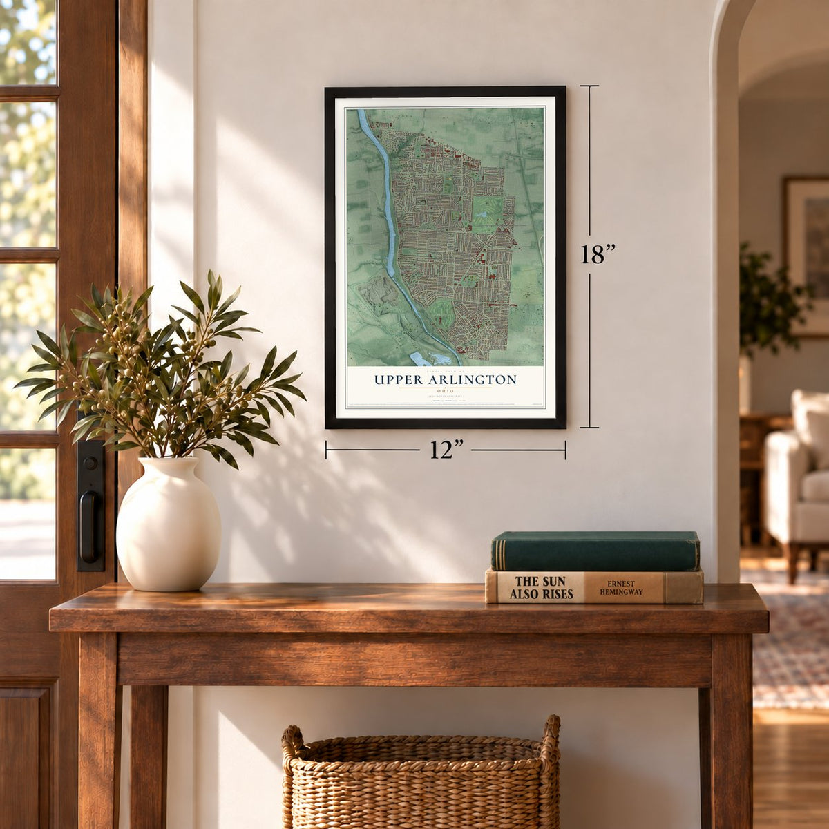
12" x 18" Archival Matte Print
A Map of Home. A Work of Art.
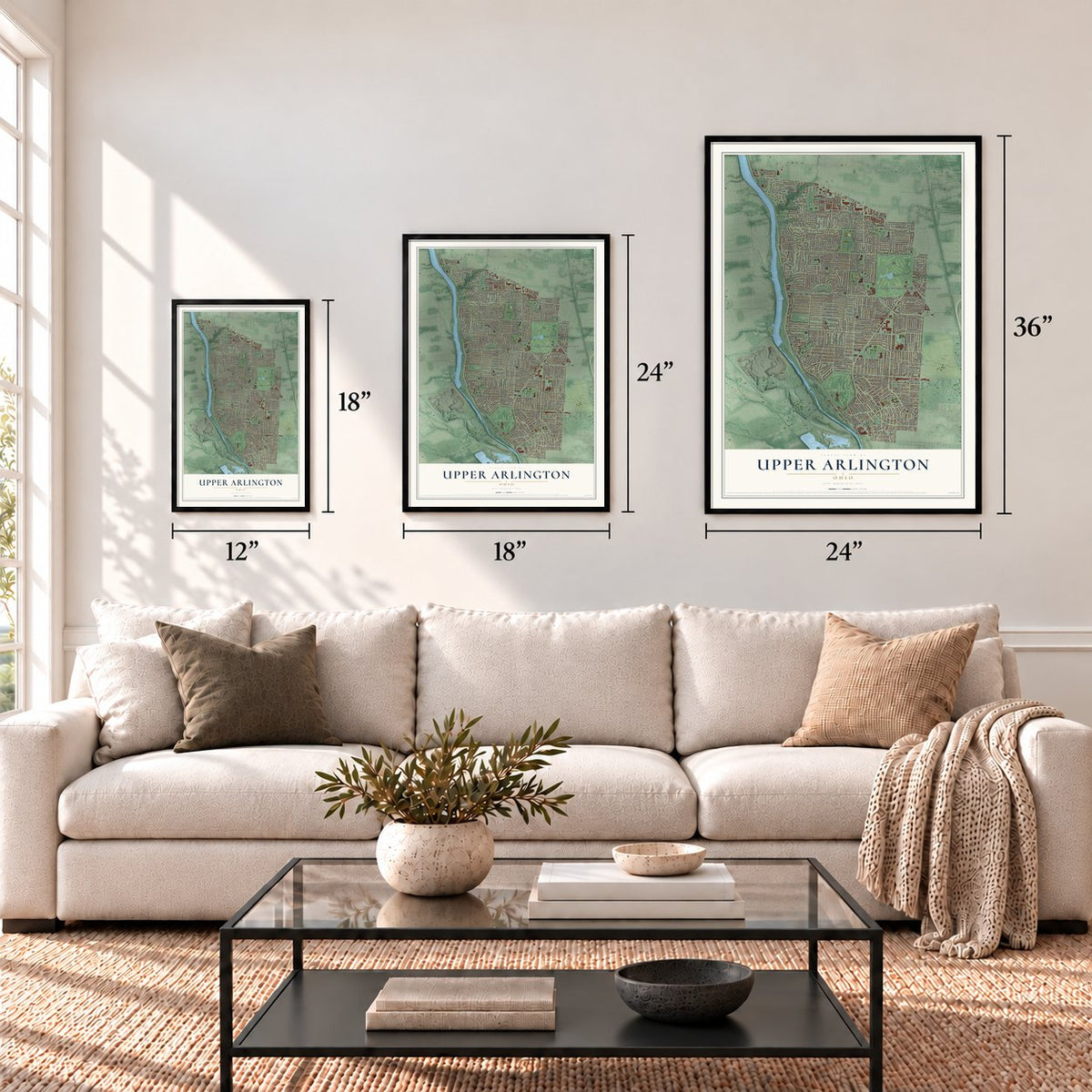
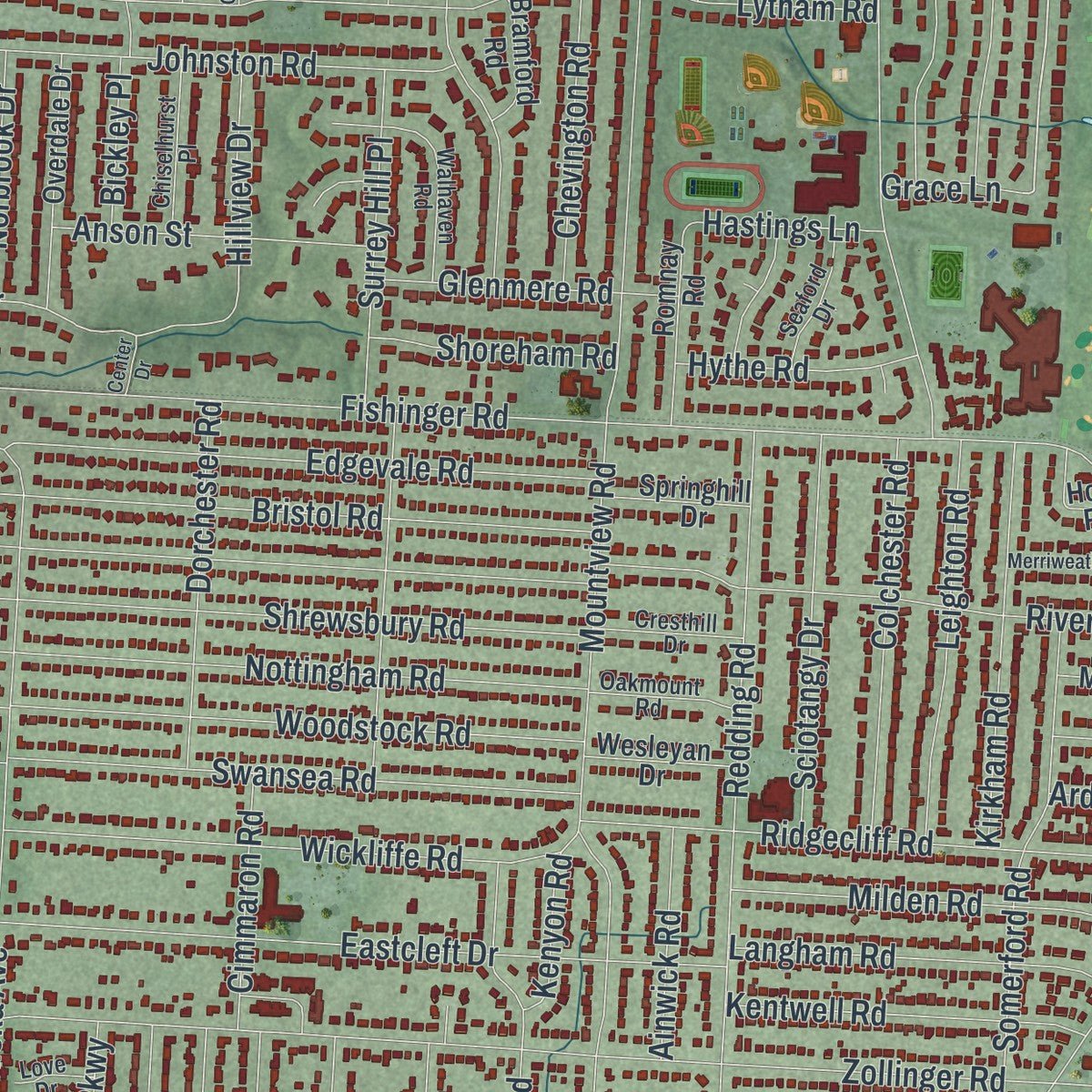
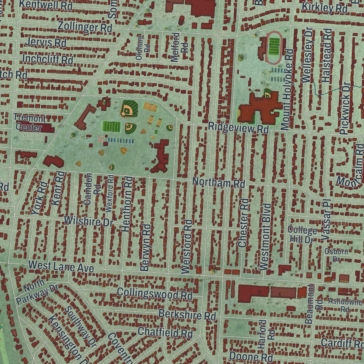
Explore Upper Arlington, Ohio from a whole new perspective. Created using aerial imagery and detailed geographic data, this map captures Upper Arlington building by building, with labeled streets, familiar landmarks, and shaded topographical relief that highlights the natural contours of the landscape.
Combining modern data with the timeless character of a vintage atlas, this map is just as interesting up close as it is beautiful on the wall. Whether you grew up in Upper Arlington, spent memorable years there, or call it home today, this unique map is a great way to celebrate a place that means something to you. Zoom in on the preview to look for your street, and then order a print to put your memories on the wall.
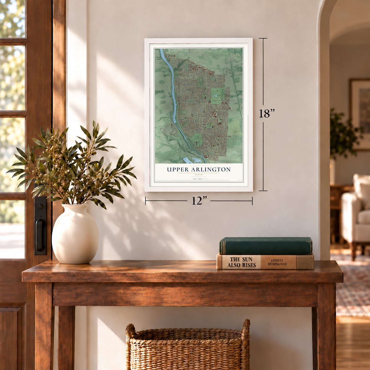
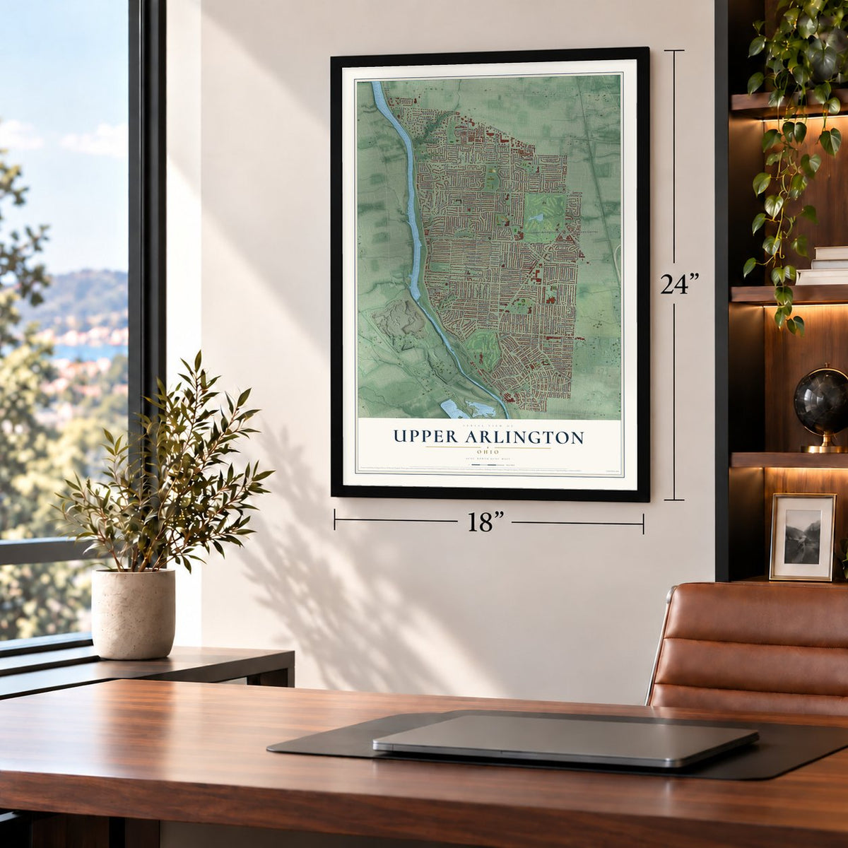
Three ways to hang it
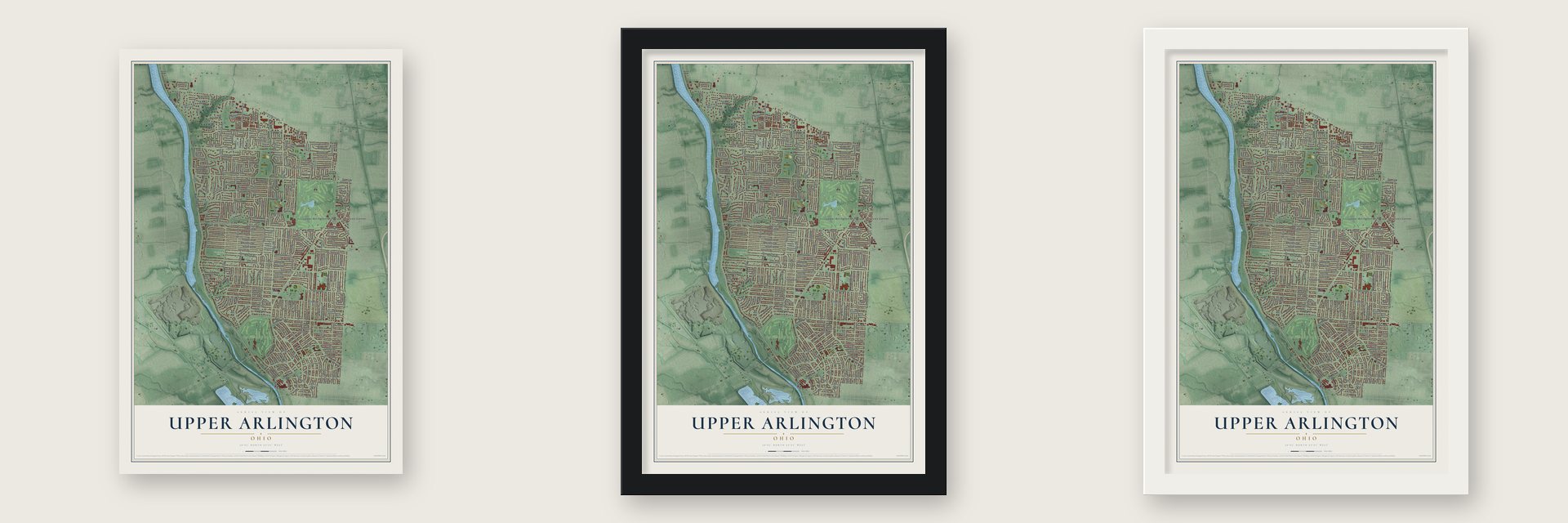
Unframed archival matte, a black wood frame or a white wood frame.
Up close
Geography Worth Displaying
This map was created using accurate cartographic data and authoritative geographic sources, including the U.S. Geological Survey and the Census Bureau. The map brings together terrain, waterways, roads, and building detail. The majority of the streets are labeled, houses are accurately depicted, and the topography is derived from government sources. Combining local data with carefully composed color and shading leads to this beautifully detailed Upper Arlington artwork for your wall.
Rather than simply showing street outlines, we’ve included as many of the street names as we could reasonably fit on the map while keeping their names legible. Zoom in on the high resolution preview to see exactly what’s on the map. We truly set out to create a statement piece for anyone who loves Upper Arlington. So whether it’s for you, or a gift for someone you love, we hope this map of Upper Arlington brings back fond memories.
Read the story behind this map of Upper Arlington, Ohio from 2026.
Find your street
Names on the Upper Arlington map
Every name below is printed on this map. Look for your street, your school, the park where you played, or the pond down the road.
Places and landmarks5
- Upper Arlington Municipal Services Center
- Eastcleft
- Fancyburg Park
- Scioto Country Club
- Crafton Park
Streets and roads308
- Riverside Drive
- Canterbury Road
- Lyon Drive
- Upper Chelsea Road
- Nugent Drive
- Mumford Drive
- Chartwell Road
- Tremont Road
- Fishinger Road
- Mountview Road
- Zollinger Road
- McCoy Road
- Northwest Boulevard
- North Star Road
- West Lane Avenue
- Kenny Road
- Andover Road
- Reed Road
- Lane Road
- Coventry Road
- West Henderson Road
- Cambridge Boulevard
- Brandon Road
- Ridgeview Road
- Kioka Avenue
- Redding Road
- Northam Road
- Arlington Avenue
- Waltham Road
- Eastcleft Drive
Show all 308 streets
- Mount Holyoke Road
- Woodbridge Road
- Guilford Road
- Leeds Road
- Lytham Road
- Nottingham Road
- Wickliffe Road
- Swansea Road
- Bristol Road
- Woodstock Road
- Dorchester Road
- Cranford Road
- Shrewsbury Road
- Berkshire Road
- Edgevale Road
- Abington Road
- Edington Road
- Stanford Road
- Middlesex Road
- Dorset Road
- Farleigh Road
- Wellesley Drive
- Stonehaven Drive
- Asbury Drive
- Haverford Road
- Welsford Road
- Haviland Road
- Sandover Road
- Fairfax Drive
- Harwitch Road
- Inchcliff Road
- Charing Road
- Riverhill Road
- Johnston Road
- Ridgecliff Road
- Sheringham Road
- Onandaga Drive
- Wilshire Drive
- Donna Drive
- Edgemont Road
- Sunset Drive
- Windham Road
- Langston Drive
- Barrington Road
- Club Road
- Ardwick Road
- Mackenzie Drive
- Bedford Road
- Brixton Road
- Trentwood Road
- Yorkshire Road
- London Drive
- Somerford Road
- Patricia Drive
- Nayland Road
- Avalon Road
- Vassar Place
- Chester Road
- Westmont Boulevard
- Doone Road
- Cardiff Road
- Milden Road
- Jervis Road
- Clifton Road
- Elmwood Avenue
- Greensview Drive
- Fairfax Road
- Kirkley Road
- Kirkham Road
- Leighton Road
- Fairlington Drive
- Colchester Road
- Sciotangy Drive
- Ritamarie Drive
- Rushmore Drive
- Langham Road
- Essex Road
- Langport Road
- Clairmont Road
- Coach Road
- Glenn Avenue
- Collingswood Road
- Buckley Road
- Kentwell Road
- Pinebrook Road
- Edgehill Drive
- Oxford Drive
- Henthorn Road
- Cheltenham Road
- Surrey Hill Place
- Dierker Road
- Anson Street
- Bickley Place
- Roxbury Road
- Suffolk Road
- Pickwick Drive
- Grenoble Road
- Burbank Drive
- Arlington Centre Boulevard
- Halstead Road
- Glenmere Road
- Kensington Drive
- Oxford Road
- Sawmill Road
- Darcann Drive
- Chevington Road
- Criswell Drive
- Waldo Place
- Castleton Road North
- Friar Lane
- Castleton Road
- York Road
- Kent Road
- Kingsgate Road
- Glenrich Parkway
- Berwyn Road
- Sherwin Road
- Chatfield Road
- Longeaton Drive
- Stoneygate Lane
- Fountaine Drive
- Derby Road
- Cimmaron Road
- Norbrook Drive
- Shoreham Road
- Hythe Road
- Hillview Drive
- Oldbridge Drive
- Wimbledon Road
- Ashland Avenue
- Fenwick Road
- Ardleigh Road
- Millcreek Lane
- Carron Drive
- Ainwick Road
- Marlyn Drive
- Crompton Drive
- Montcalm Road
- Rosebery Drive
- Highland Drive
- Bembridge Road
- Slate Run Road
- Hillside Drive
- Sussex Drive
- Sundridge Drive
- Oakridge Road
- Malvern Road
- Norwell Drive
- Clarion Court
- Chardon Road
- Folkstone Road
- Hastings Lane
- Exmoor Road
- Edgefield Road
- River Hill Lane
- Cheshire Road
- Regency Drive
- Cassill Street
- Gavin Lane
- Kenyon Road
- Camelot Drive
- Winfield Road
- Longhill Road
- Grace Lane
- Dublin Road
- Devon Road North
- Kempton Drive
- Concord Village Drive
- Wyandotte Road
- West Fifth Avenue
- Tarrington Lane
- Merrifield Place
- Beaumont Road
- Pemberton Drive
- River Park Drive
- Camden Road
- Lear Road
- Squirrel Bend
- Herrick Road
- Overdale Drive
- College Hill Drive
- Squires Ridge
- Lafayette Drive
- Picket Post Lane
- Chateau Circle
- Brandywine Drive
- Harford Road
- Southway Drive
- Chadbourne Drive
- Romnay Road
- Lymington Road
- Halesworth Road
- Wareham Road
- Horizons Drive
- Elgin Road
- Bridgeton Drive
- Millwood Drive
- North Parkway Drive
- Donington Road
- Braunton Road
- Wenbury Road
- Kipling Road
- Teeway Drive
- Margate Road
- Lanercost Way
- Hull Farm Lane
- Wesleyan Drive
- Tremont Center
- Springhill Drive
- Shelbourne Lane
- Mumford Court
- Helston Road
- Doncaster Road
- Bramford Road
- North Bank Drive
- Keswick Drive
- Willow Forge Drive
- Oakhill Road
- Hampton Lane
- Hove Road
- Helston Court
- Bethel Road
- Melford Road
- Adner Court
- Craigs Way
- Stratford Drive
- Belgrave Drive
- Westwood Avenue
- Windermere Road
- Wexford Road
- Rue de Fleur
- Concord Road
- Randmore Road
- Woodhall Road
- Walhaven Road
- Chiselhurst Place
- Carriage Hill Lane
- Ashdowne Road
- Oakmount Road
- King Avenue
- Cresthill Drive
- Ellington Road
- Seaford Drive
- Westbury Drive
- Stratton Road
- Birchcrest Road
- Partlow Drive
- Masters Drive
- Churchill Drive
- Brackley Road
- Billiton Court
- Fontenay Place
- Sandover Court
- Oldham Road
- Airendel Court
- Bayford Court
- Osborn Drive
- Love Drive
- Brittany Lane
- Alliston Court
- Beverly Road
- Dorchester Road South
- Camborne Road
- Carisbrook Road
- Sunningdale Way
- Chevy Chase Avenue
- Newhall Road
- Merriweather Drive
- Lower Chelsea Road
- Mansion Way
- Lakinhurst Drive
- Castleton Road West
- Danvers Court
- Glenda Place
- Lytham Court
- Linkbury Lane
- Center Drive
- Park Lane
Names are listed as they appear on the printed map. Zoom into the product photos to find them.
About Upper Arlington, Ohio
Upper Arlington is a city in Franklin County with a 2020 population of 36,800. Its development began with an 840-acre purchase in 1913 and a community plan inspired by English Garden City ideas. The older southern area, known as Old Arlington, contains Period Revival homes and has been listed on the National Register of Historic Places since 1985.
- Planned BeginningsIn 1913, brothers King and Ben Thompson purchased 840 acres from James T. Miller and called their development the Country Club District.
- Garden City DesignLandscape architect William Pitkin Jr. planned gently curving streets, large lots, and green spaces using principles from the English Garden City model.
- Historic Old ArlingtonPeriod Revival homes built from 1915 through 1940 characterize Old Arlington, which joined the National Register of Historic Places in 1985.
- CompuServe HeadquartersCompuServe, described as the first major online information service, maintained its world headquarters at 5000 Arlington Centre Boulevard from 1973 to 2009.
- Parks and RecreationThe city maintains 21 parks covering about 186 acres and operates three outdoor community swimming pools.
Keep exploring Ohio
Upper Arlington is one of 1,389 Ohio towns we've mapped. Every dot on the map is a print of its own.
The search covers every state, Ohio first.
Near Upper Arlington
Order 2 or more town maps and save 10%. Shown in the size and finish you picked above, so they hang as a set.
- Olentangy West 12" x 18" / Archival Matte Print $39.99
- Marble Cliff 12" x 18" / Archival Matte Print $39.99
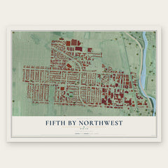
- Fifth by Northwest 12" x 18" / Archival Matte Print $39.99

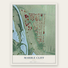
More maps nearby: Clintonville, University District, Grandview Heights, Riverlea and Valleyview.
The art of mapping a place
How This Map Was Made
Real places. Remarkable detail. Discover the layers that turn geographic data into a map of home.

The view from above
Aerial imagery reveals the character of the land: woodland, open fields, and the patterns of a place.

The shape of the land
Elevation data brings hills, valleys, and subtle changes in the landscape into view.

The details of home
Roads, waterways, and building footprints come together to make the map feel unmistakably local.

Geography becomes art
Considered color, shading, and typography bring the layers together in a map made for your wall.


Process illustrated with Mendon, Massachusetts. Aerial imagery: USDA NAIP. Terrain: USGS 3D Elevation Program. Map details and finished artwork: KNOWOL.
The Details
About This Print
Choose an archival matte print, or a black or white Ayous wood frame. The archival matte print is unframed.
Select your size and finish above to see the matching product image and price.
Materials & Craftsmanship
A contemporary map with the character of a classic atlas, printed on archival matte paper. Optional frames are made from Ayous wood.
Your printed map does not include the watermark shown in the full-map preview.
Shipping & Delivery
Free shipping within the United States. Every print is made to order in the USA.
Buying a gift? Add a note in your cart and we'll include it. We never put prices in the package.
Prints ship within 2 to 3 business days. Allow 7 to 10 days total from ordering for delivery. Timing may vary during holidays or periods of high order volume.
Read our shipping policy.
Returns and damaged prints
Each print is made to order. Change-of-mind refunds are not available after production.
If your print arrives damaged, misprinted or incorrect, contact support@knowol.com within 30 days of receiving it. Include your order number, photos and a description of the issue.
Read our full refund and replacement policy. For questions about your order, email support@knowol.com.