
Search for another town
Free U.S. delivery 7 to 10 days after you order
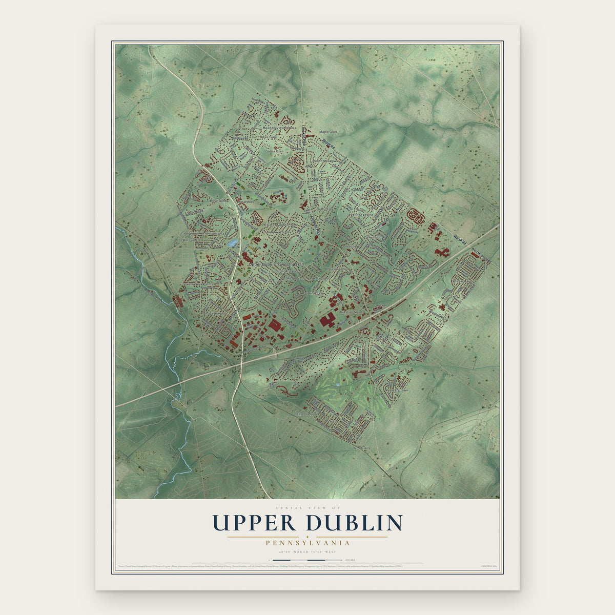
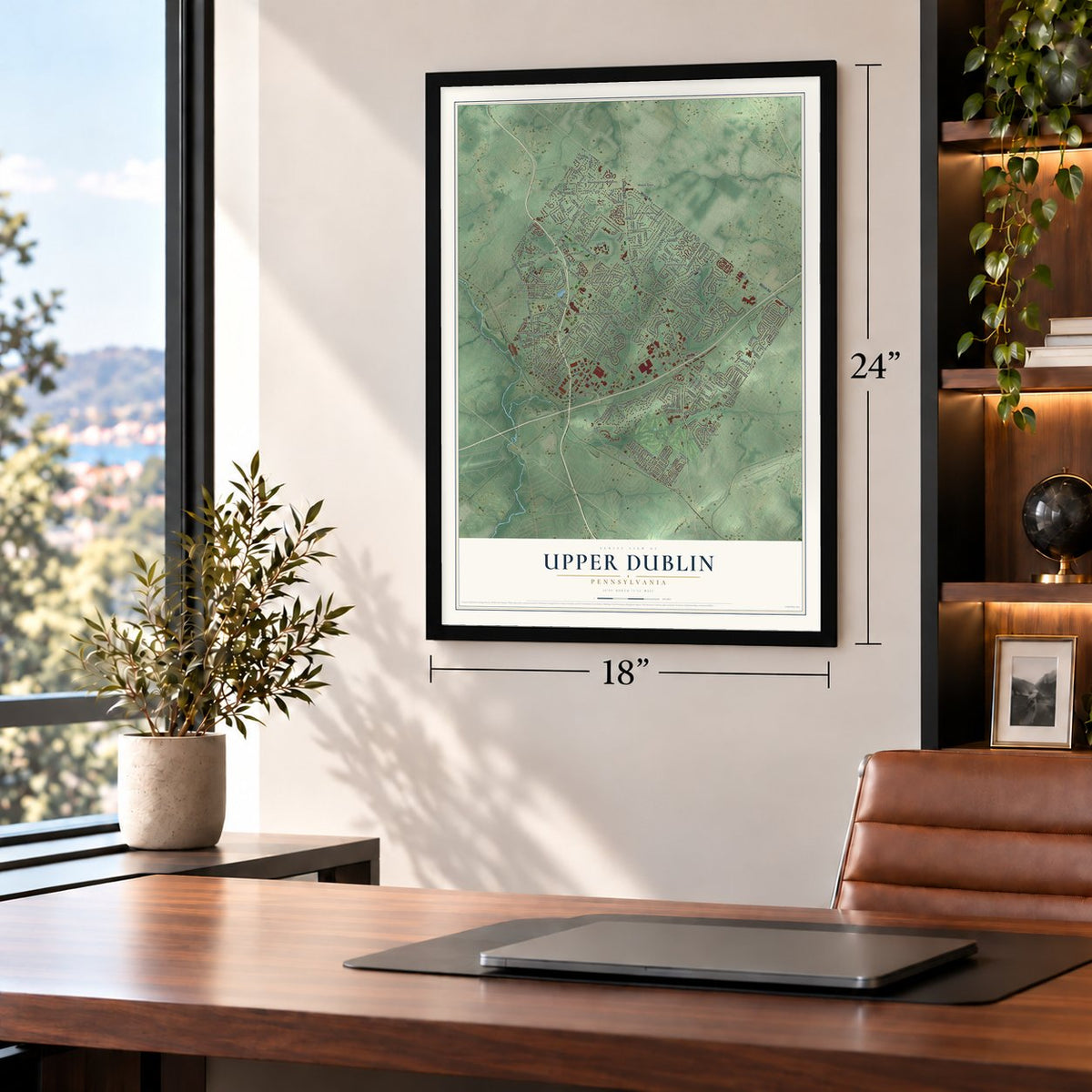
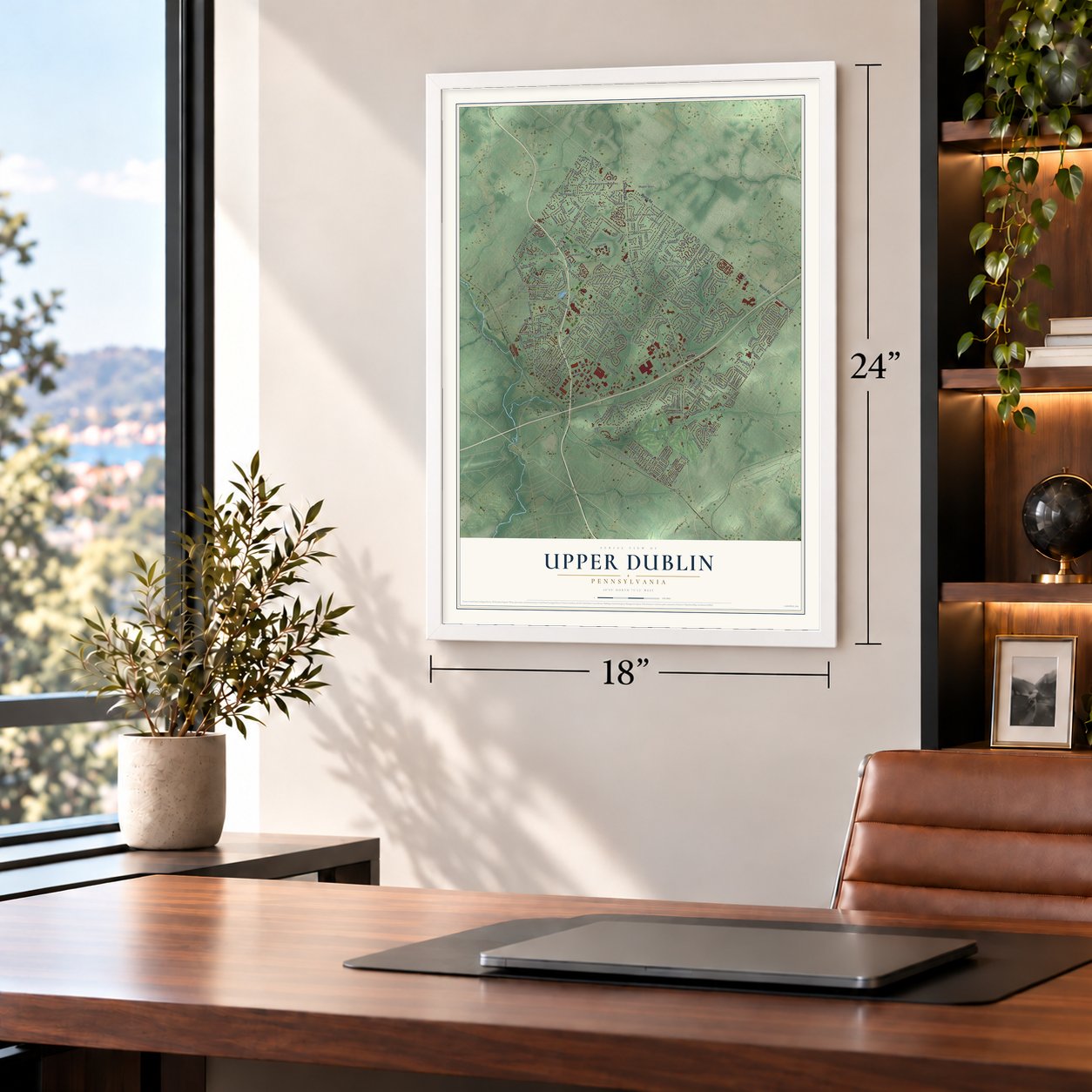
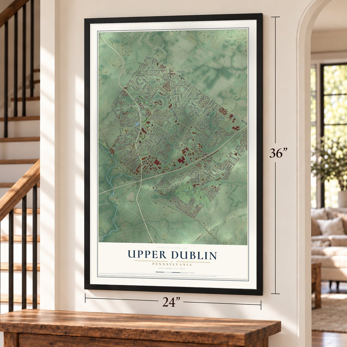
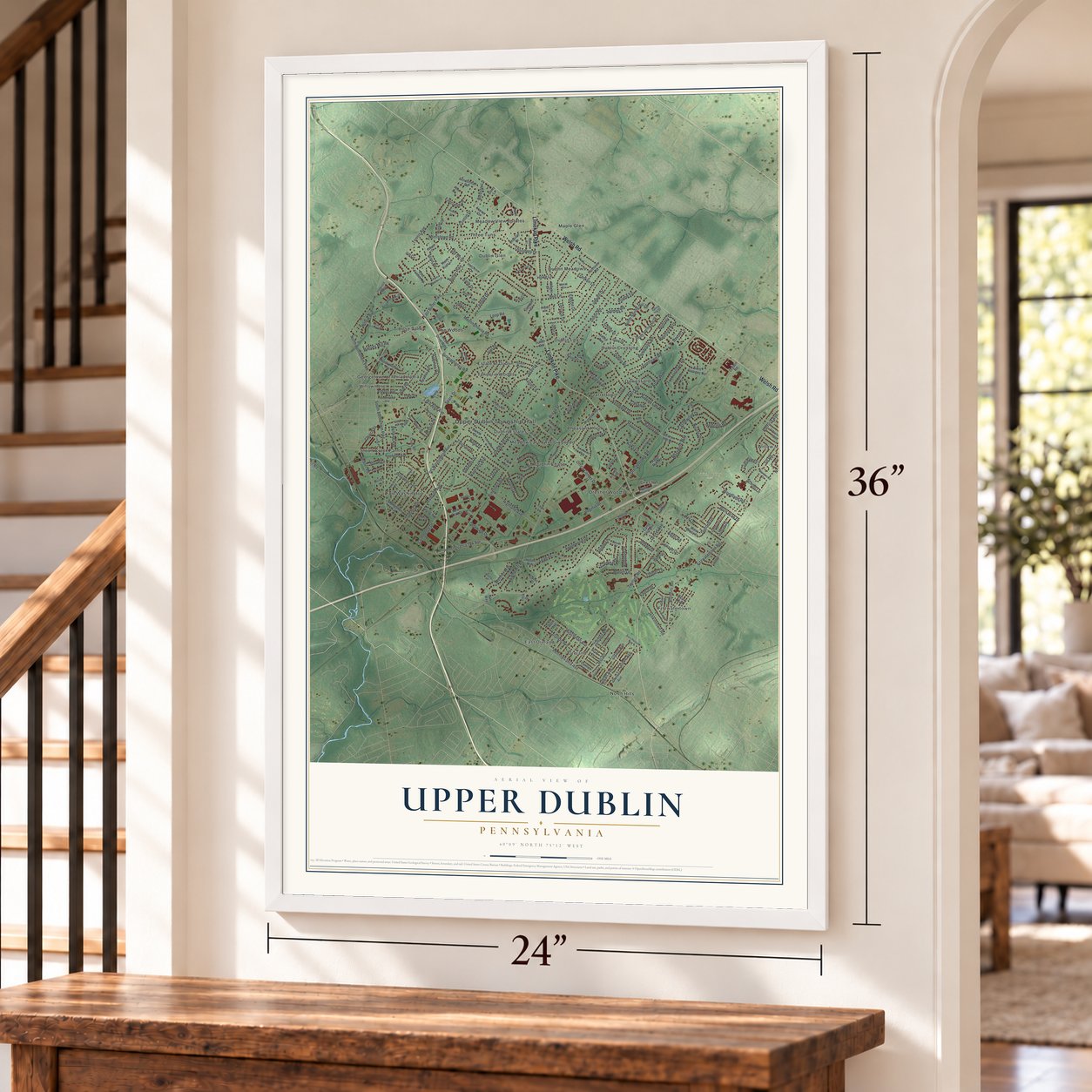
Upper Dublin, Pennsylvania Map Art
Building by building, with labeled streets and shaded relief.
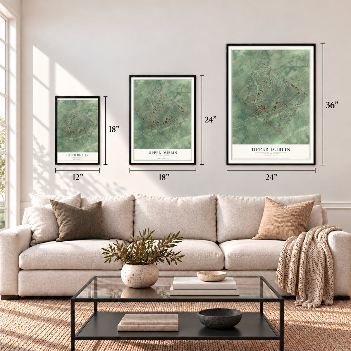
12" x 18" Archival Matte Print
A Map of Home. A Work of Art.
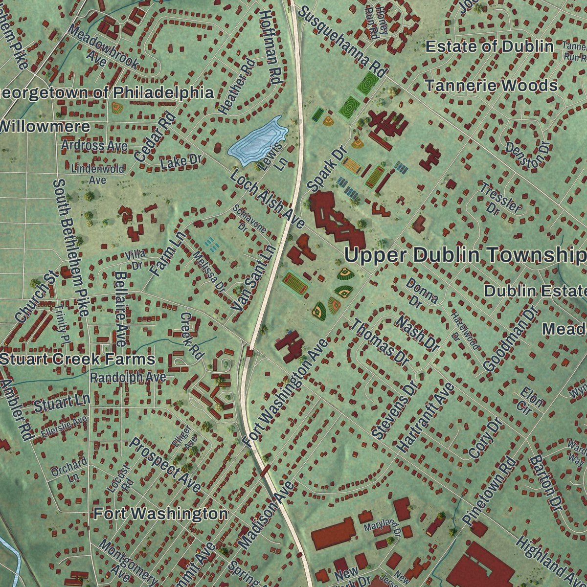
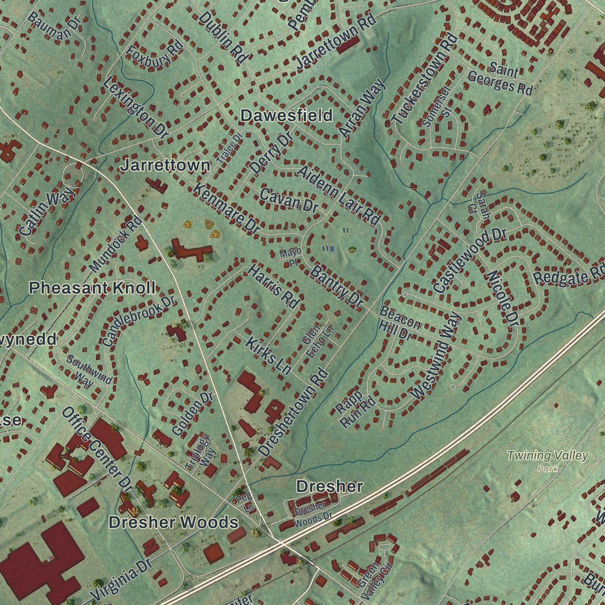
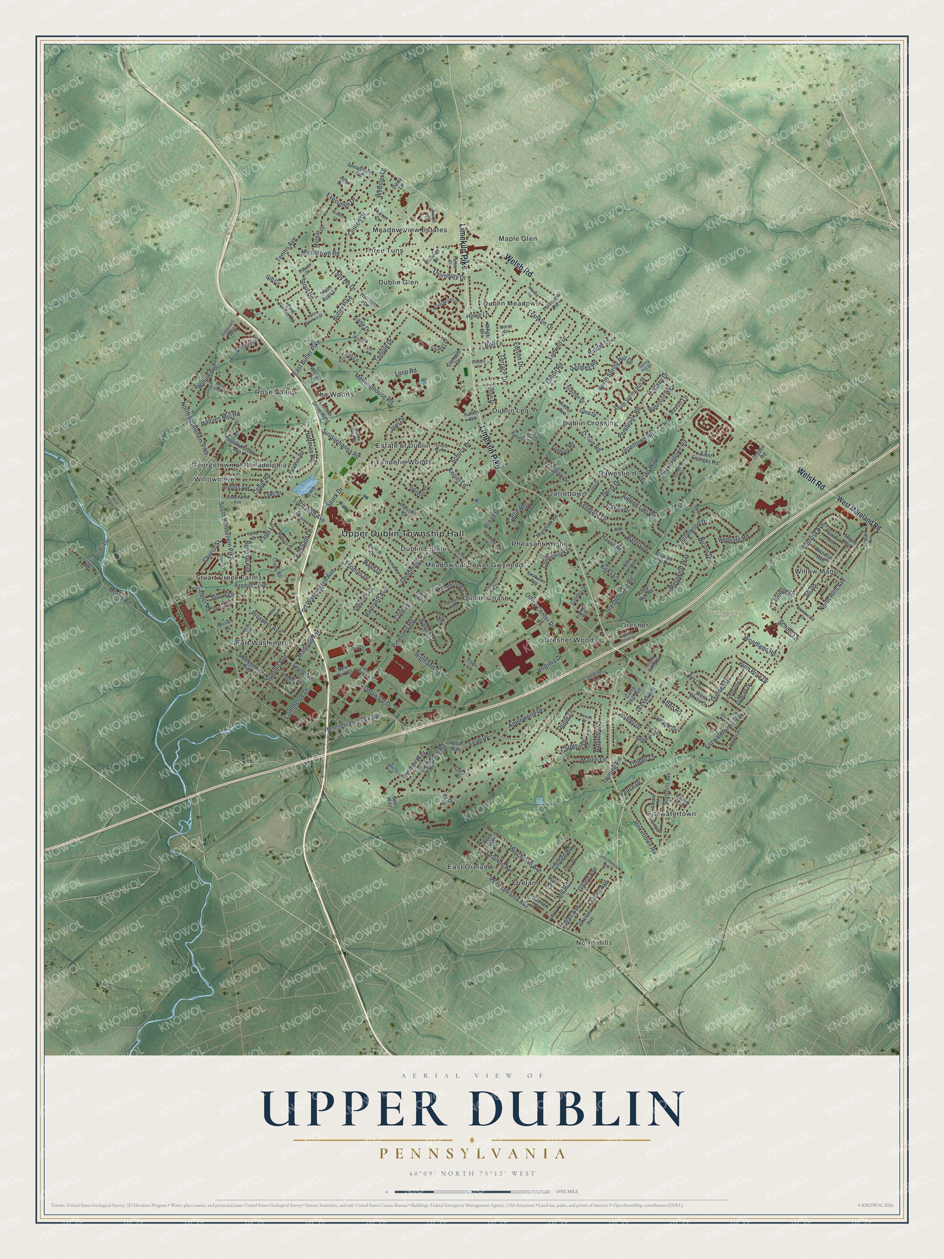
Explore Upper Dublin, Pennsylvania from a whole new perspective. Created using aerial imagery and detailed geographic data, this map captures Upper Dublin building by building, with labeled streets, familiar landmarks, and shaded topographical relief that highlights the natural contours of the landscape.
Combining modern data with the timeless character of a vintage atlas, this map is just as interesting up close as it is beautiful on the wall. Whether you grew up in Upper Dublin, spent memorable years there, or call it home today, this unique map is a great way to celebrate a place that means something to you. Zoom in on the preview to look for your street, and then order a print to put your memories on the wall.
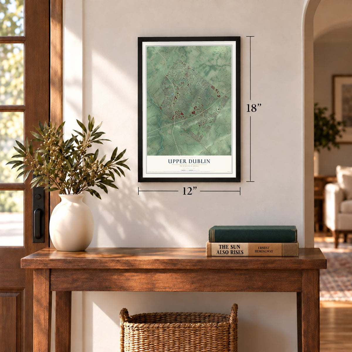
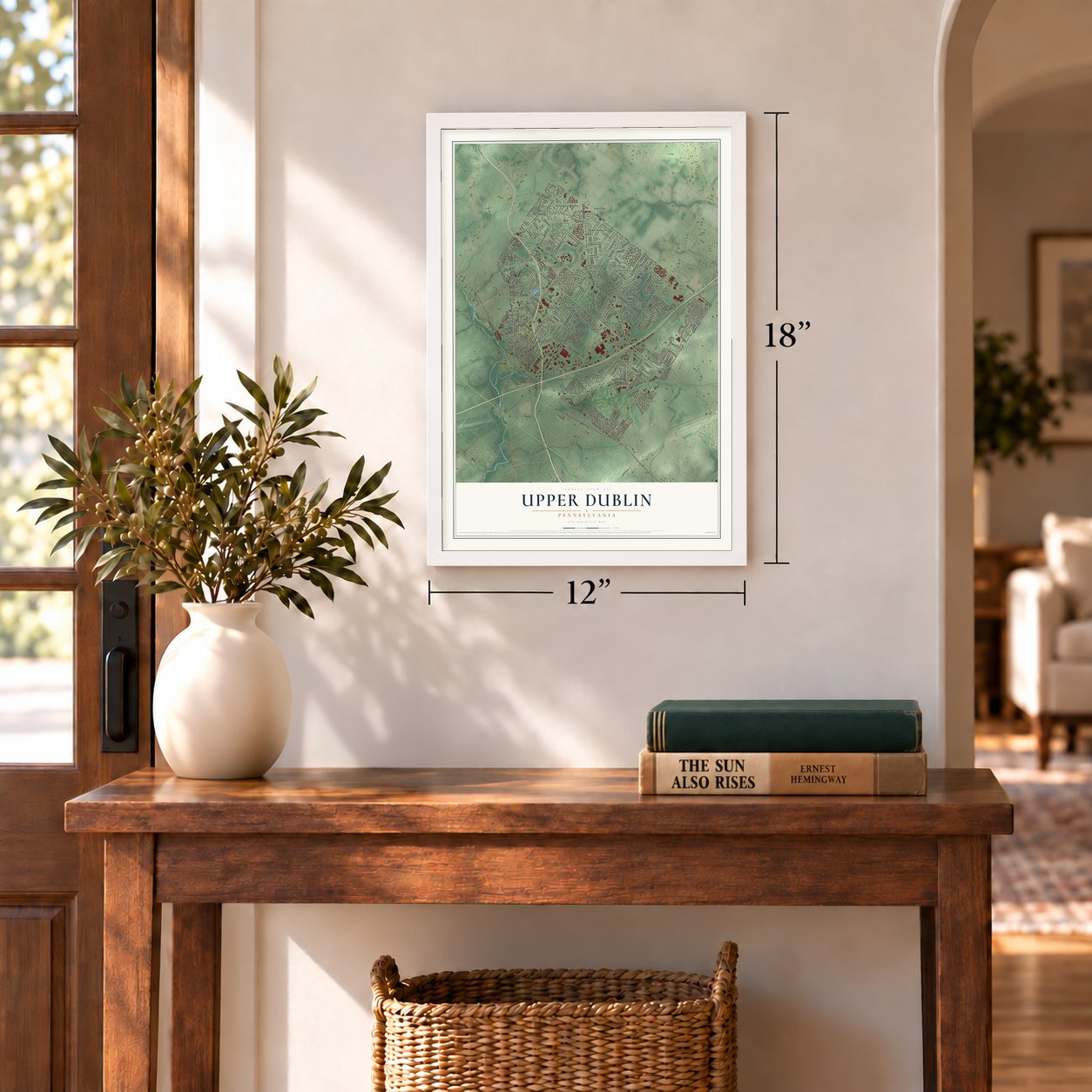
Three ways to hang it
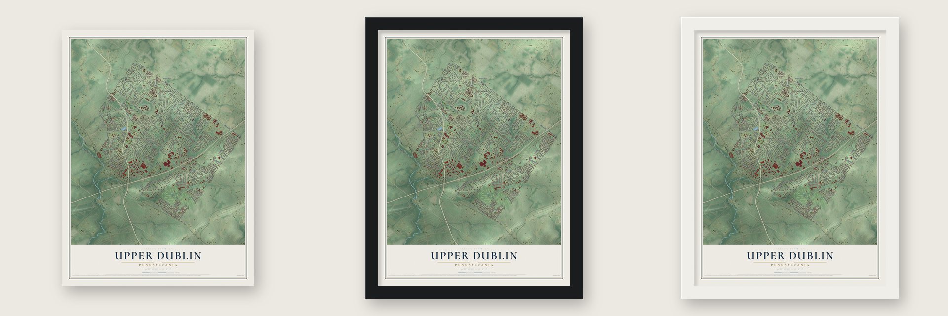
Unframed archival matte, a black wood frame or a white wood frame.
Up close
Geography Worth Displaying
This map was created using accurate cartographic data and authoritative geographic sources, including the U.S. Geological Survey and the Census Bureau. The map brings together terrain, waterways, roads, and building detail. The majority of the streets are labeled, houses are accurately depicted, and the topography is derived from government sources. Combining local data with carefully composed color and shading leads to this beautifully detailed Upper Dublin artwork for your wall.
Rather than simply showing street outlines, we’ve included as many of the street names as we could reasonably fit on the map while keeping their names legible. Zoom in on the high resolution preview to see exactly what’s on the map. We truly set out to create a statement piece for anyone who loves Upper Dublin. So whether it’s for you, or a gift for someone you love, we hope this map of Upper Dublin brings back fond memories.
Read the story behind this map of Upper Dublin, Pennsylvania from 2026.
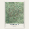
Find your street
Names on the Upper Dublin map
Every name below is printed on this map. Look for your street, your school, the park where you played, or the pond down the road.
Places and landmarks30
- Upper Dublin Township Hall
- Twining Valley Park
- Dawesfield
- Dresher
- Dresher Woods
- Dublin Chase
- Dublin Crossing
- Dublin Estates
- Dublin Glen
- Dublin Lea
- Dublin Meadows
- East Oreland
Show all 30 places
- Estate of Dublin
- Fitzwatertown
- Fort Washington
- Georgetown of Philadelphia
- Jarrettown
- Maple Glen
- Meadow View Estates
- Meadows at Lower Gwynedd
- North Hills
- Oreland
- Pheasant Knoll
- Rose Valley
- Stuart Creek Farms
- Tannerie Woods
- The Woods
- Three Tuns
- Willow Manor
- Willowmere
Streets and roads247
- Limekiln Pike
- Welsh Road
- Susquehanna Road
- North Bethlehem Pike
- South Bethlehem Pike
- Pennsylvania Avenue
- Butler Pike
- East Butler Pike
- Twining Road
- Fort Washington Avenue
- Dreshertown Road
- Tennis Avenue
- Highland Avenue
- Dillon Road
- Camp Hill Road
- Bell Lane
- Virginia Drive
- North Hills Avenue
- Fitzwatertown Road
- Pinetown Road
- Pennsylvania Tpk Apr
- Meetinghouse Road
- Norristown Road
- Jarrettown Road
- Hartranft Avenue
- Aidenn Lair Road
- Loch Alsh Avenue
- Terrace Drive
- Summit Avenue
- Barton Drive
Show all 247 streets
- Morris Road
- Loop Road
- Ludwell Drive
- Dublin Road
- Howe Lane
- Commerce Drive
- Willow Avenue
- Jill Road
- Madison Avenue
- Tuckerstown Road
- Cedar Road
- Westwind Way
- Prospect Avenue
- Stout Road
- Castlewood Drive
- Hoffman Road
- North Spring Hill Drive
- Harris Road
- Temple Drive
- Ambler Road
- Garden Road
- Patricia Avenue
- Girard Avenue
- Logan Avenue
- Arran Way
- Wischman Avenue
- Linden Avenue
- Dundee Drive
- Orlando Avenue
- Audubon Drive
- Bellaire Avenue
- Spark Drive
- Broad Street
- Office Center Drive
- Burn Brae Drive
- Applewood Drive
- Delaware Drive
- Lexington Drive
- Leah Drive
- Kenmare Drive
- Nicole Drive
- Mill Road
- Joel Drive
- Farm Lane
- Pembrook Road
- Purdie Lane
- Franklin Lane
- Church Street
- Schirra Drive
- Jenkintown Road
- Kane Drive
- Brittany Drive
- Kirks Lane
- Oriole Lane
- Woodland Road
- Clinton Drive
- Lenape Drive
- Cardinal Drive
- Hagues Mill Road
- Webster Lane
- Thornbury Drive
- Cory Drive
- Goodman Drive
- Wenner Way
- Tally Ho Drive
- Executive Drive
- Martin Lane
- Derry Drive
- Timber Lane
- Bantry Drive
- Ayr Lane
- Claridge Drive
- Holmes Road
- Redgate Road
- Van Sant Lane
- Saxon Lane
- Thomas Drive
- Cavan Drive
- Jeffrey Drive
- Catlin Way
- Drexel Avenue
- Keisel Lane
- Stevens Drive
- Stuart Lane
- Edison Drive
- Afton Road
- School Lane
- Vance Drive
- Nash Drive
- West Moreland Road
- Jennifer Drive
- West Butler Avenue
- Meadowbrook Avenue
- Denston Drive
- Spring Avenue
- Northhills Avenue
- Tressler Drive
- Wright Drive
- Mundock Road
- Creek Road
- Arrowhead Trail
- Hood Lane
- Candlebrook Drive
- Montgomery Avenue
- Chelsea Avenue
- Lincoln Drive West
- Beacon Hill Drive
- Farmview Road
- Randolph Avenue
- South Spring Hill Drive
- Woodlyn Avenue
- Maple Avenue
- Glen Drive
- Waterford Way
- Arthur Avenue
- Fulton Drive
- Saint Georges Road
- Slayton Drive
- Ardross Avenue
- Annasmead Road
- Duncan Drive
- Heather Road
- West Bruce Drive
- Rech Avenue
- Three Tuns Lane
- Camp Hill Avenue
- Harner Drive
- Morgan Drive
- Lake Drive
- Hutchins Drive
- Woods Drive
- Chaucer Drive
- East Fiedler Road
- Bauman Drive
- Foxbury Road
- New York Drive
- Golden Drive
- Campus Drive
- Friends Lane
- Quarry Avenue
- Lewis Lane
- Dryden Road
- Gay Way
- Iroquois Way
- Park Place
- Caras Court
- Heller Way
- Cannon Place
- Donna Drive
- Gift Circle
- Rapp Run Road
- Fulton Road
- Daisy Lane
- Elon Circle
- Flick Drive
- Jem Drive
- Southwind Way
- Wynnemoor Way
- Brentwood Drive
- Manchester Drive
- Cinnamon Drive
- Honey Run Road
- Clemens Avenue
- Trinity Place
- Pebblewood Lane
- Melissa Drive
- Locust Road
- Boden Place
- Somerset Street
- Glenburnie Lane
- Green Valley Circle
- Villa Drive
- Chapel Road
- Sandra Avenue
- Lindenwold Avenue
- Thrush Drive
- Glen Echo Lane
- Beechwood Avenue
- Kimball Avenue
- Morse Drive
- Willet Drive
- Conwell Drive
- Shelly Lane
- Herold Court
- Orchard Lane
- Elbow Lane
- Triology Way
- Cooper Drive
- Sarah Court
- Spring Hill Drive
- Dresher Woods Drive
- Tannerie Run Road
- Crosby Drive
- Elliger Avenue
- Rose Valley Way
- Northview Drive
- Alba Road
- Valley Road
- Maryland Drive
- Hazelwood Drive
- Whitney Lane
- Tralee Drive
- Ellerslie Avenue
- Shepard Drive
- Warden Way
- Wooded Lane
- North Beecham Drive
- Gentlemens Way
- Jackson Avenue
- Conquest Way
- Schiavone Drive
- New Jersey Drive
- West Maple Street
- Lee Road
- Ori Place
- Mayo Place
- Peg Lane
Names are listed as they appear on the printed map. Zoom into the product photos to find them.
About Upper Dublin, Pennsylvania
Upper Dublin is a Montgomery County township where the 2020 census recorded 26,665 residents. Settled in 1698 and incorporated in 1719, the community developed from agricultural beginnings and became predominantly residential during the postwar population boom. Its history encompasses a Revolutionary War encampment, Underground Railroad activity, and an extensive network of parks and open spaces.
- Township MilestonesThe area was settled in 1698, incorporated in 1719, and granted Pennsylvania First Class Township status in 1946.
- Revolutionary War EncampmentAfter the October 1777 defeat at Germantown, George Washington and the Continental Army camped here before continuing toward Valley Forge.
- Underground RailroadThomas and Hannah Atkinson and other Upper Dublin Friends Meeting members operated an Underground Railroad station at a neighboring farm.
- Postwar TransformationUpper Dublin changed from mostly farmland and open space in the 1950s to a residential suburb during the postwar population boom.
- Parks and Open SpaceThe township has more than 40 park and open-space sites encompassing 600 acres.
Keep exploring Pennsylvania
Upper Dublin is one of 3,725 Pennsylvania towns we've mapped. Every dot on the map is a print of its own.
The search covers every state, Pennsylvania first.
Near Upper Dublin
Order 2 or more town maps and save 10%. Shown in the size and finish you picked above, so they hang as a set.
- Jarrettown 12" x 18" / Archival Matte Print $39.99
- Fort Washington 12" x 18" / Archival Matte Print $39.99
- Maple Glen 12" x 18" / Archival Matte Print $39.99
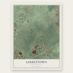
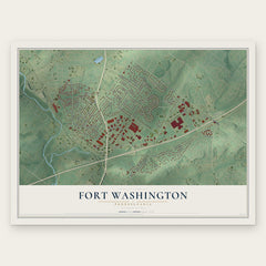

More maps nearby: Ambler, Oreland, Roslyn, Spring House and Willow Grove.
The art of mapping a place
How This Map Was Made
Real places. Remarkable detail. Discover the layers that turn geographic data into a map of home.

The view from above
Aerial imagery reveals the character of the land: woodland, open fields, and the patterns of a place.

The shape of the land
Elevation data brings hills, valleys, and subtle changes in the landscape into view.

The details of home
Roads, waterways, and building footprints come together to make the map feel unmistakably local.

Geography becomes art
Considered color, shading, and typography bring the layers together in a map made for your wall.


Process illustrated with Mendon, Massachusetts. Aerial imagery: USDA NAIP. Terrain: USGS 3D Elevation Program. Map details and finished artwork: KNOWOL.
The Details
About This Print
Choose an archival matte print, or a black or white Ayous wood frame. The archival matte print is unframed.
Select your size and finish above to see the matching product image and price.
Materials & Craftsmanship
A contemporary map with the character of a classic atlas, printed on archival matte paper. Optional frames are made from Ayous wood.
Your printed map does not include the watermark shown in the full-map preview.
Shipping & Delivery
Free shipping within the United States. Every print is made to order in the USA.
Buying a gift? Add a note in your cart and we'll include it. We never put prices in the package.
Prints ship within 2 to 3 business days. Allow 7 to 10 days total from ordering for delivery. Timing may vary during holidays or periods of high order volume.
Read our shipping policy.
Returns and damaged prints
Each print is made to order. Change-of-mind refunds are not available after production.
If your print arrives damaged, misprinted or incorrect, contact support@knowol.com within 30 days of receiving it. Include your order number, photos and a description of the issue.
Read our full refund and replacement policy. For questions about your order, email support@knowol.com.