
Search for another town




Free U.S. delivery 7 to 10 days after you order
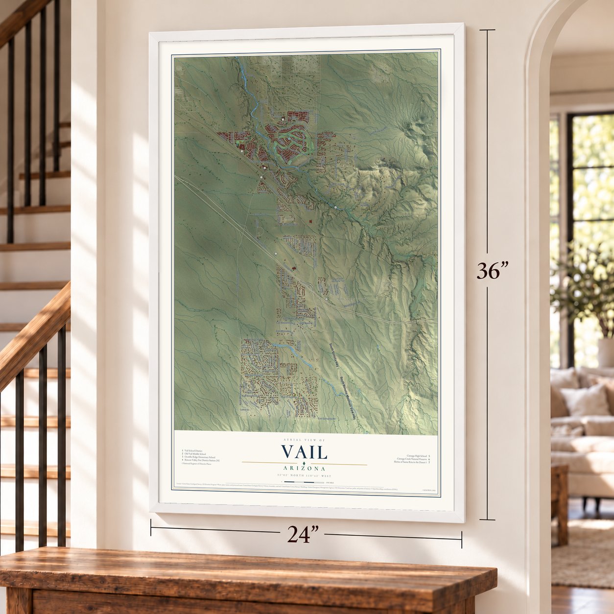
Vail, Arizona Map Art
Building by building, with labeled streets and shaded relief.
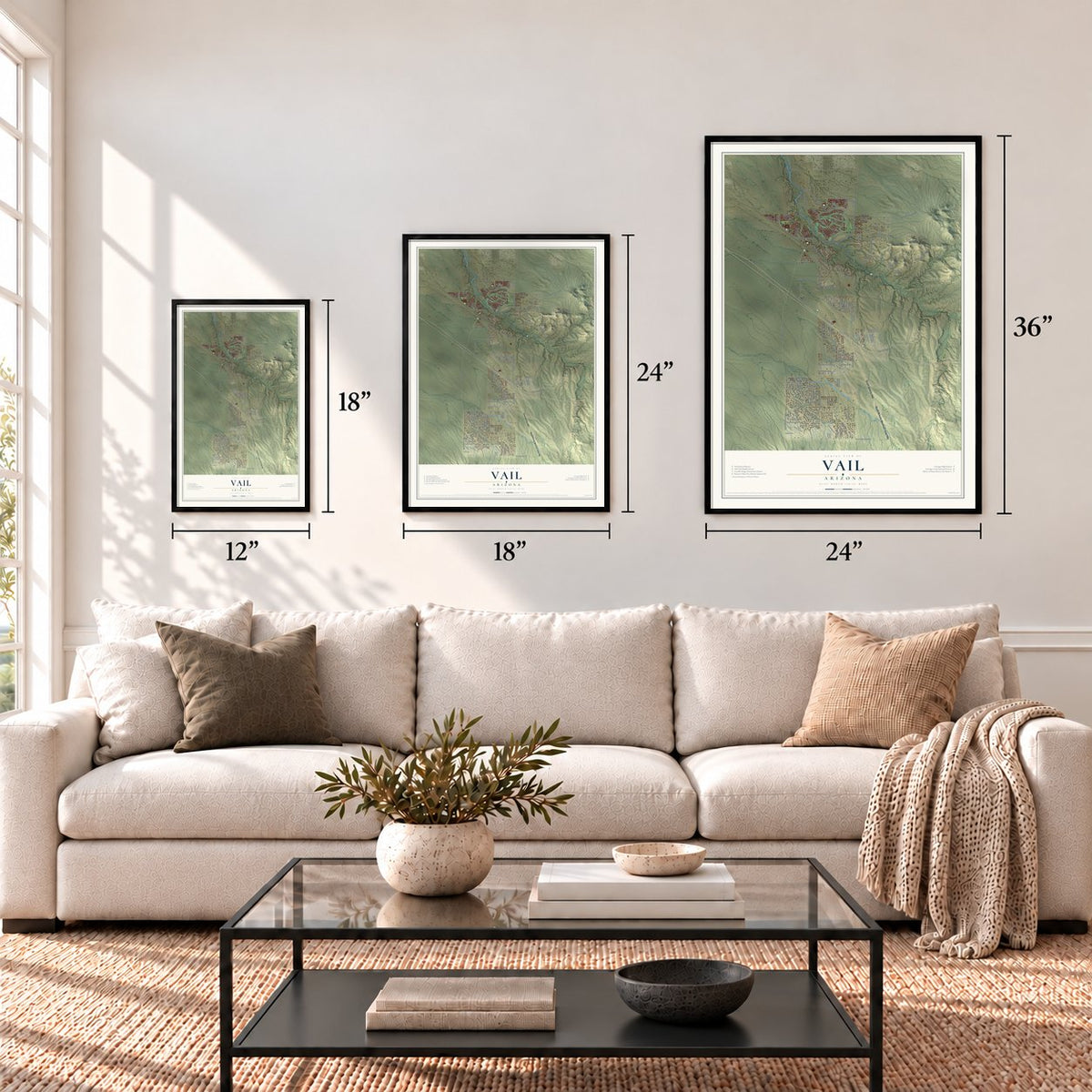
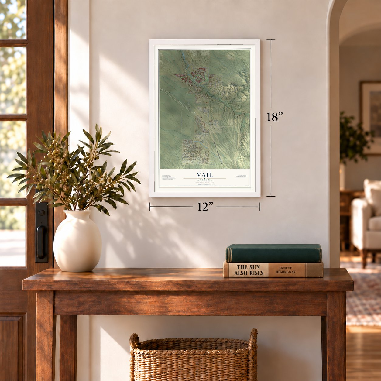
12" x 18" Archival Matte Print
A Map of Home. A Work of Art.
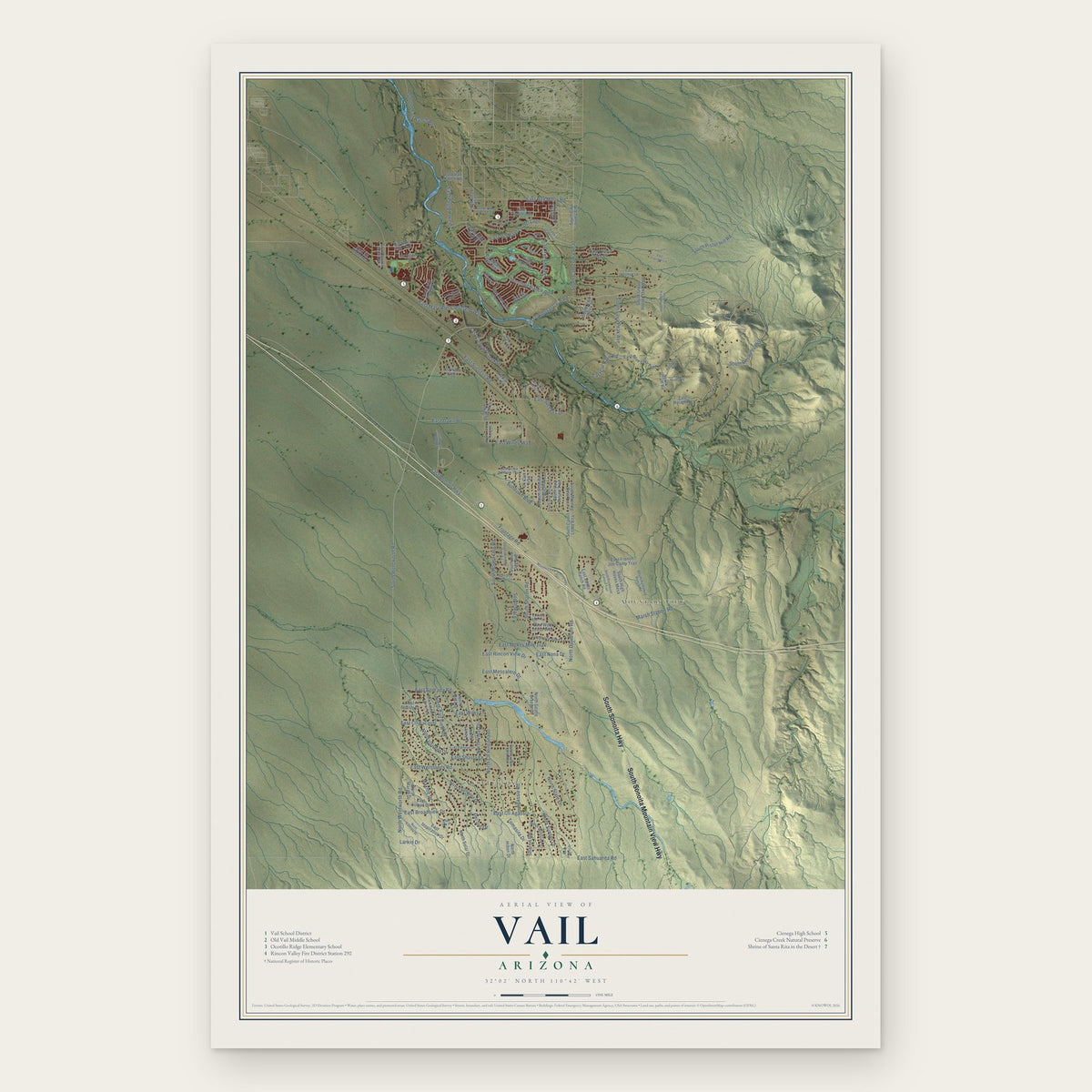
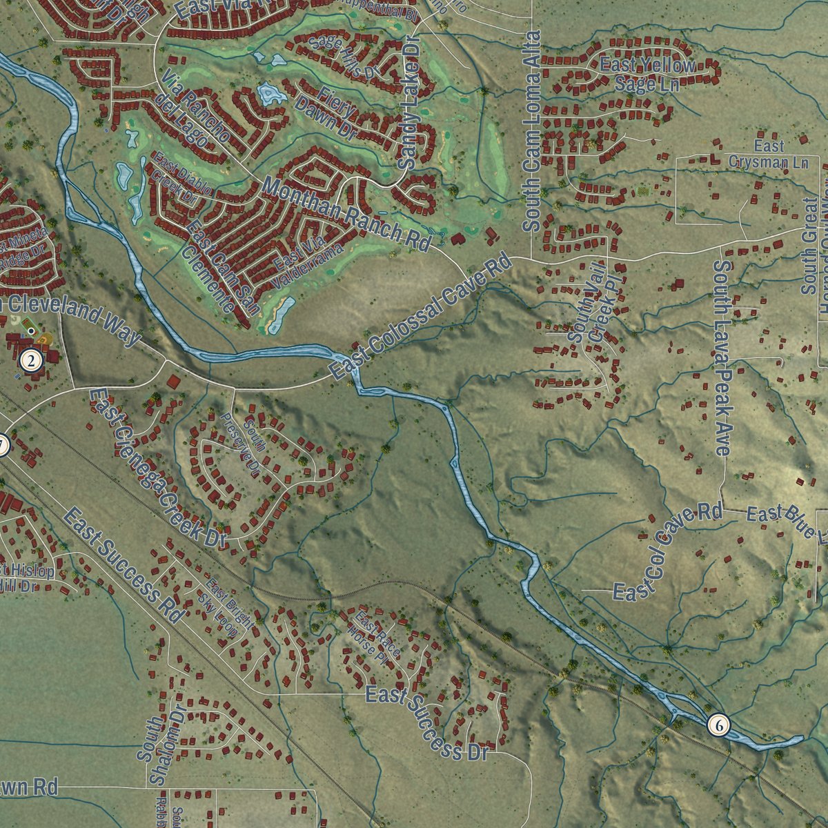
Explore Vail, Arizona from a whole new perspective. Created using aerial imagery and detailed geographic data, this map captures Vail building by building, with labeled streets, familiar landmarks, and shaded topographical relief that highlights the natural contours of the landscape.
Combining modern data with the timeless character of a vintage atlas, this map is just as interesting up close as it is beautiful on the wall. Whether you grew up in Vail, spent memorable years there, or call it home today, this unique map is a great way to celebrate a place that means something to you. Zoom in on the preview to look for your street, and then order a print to put your memories on the wall.

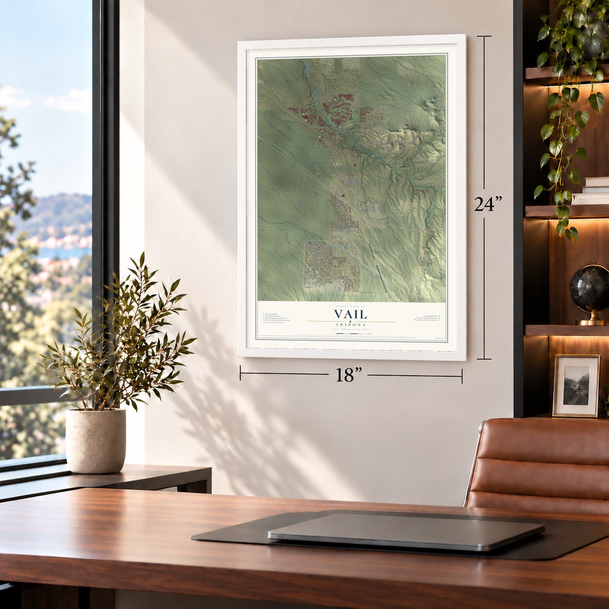
Three ways to hang it
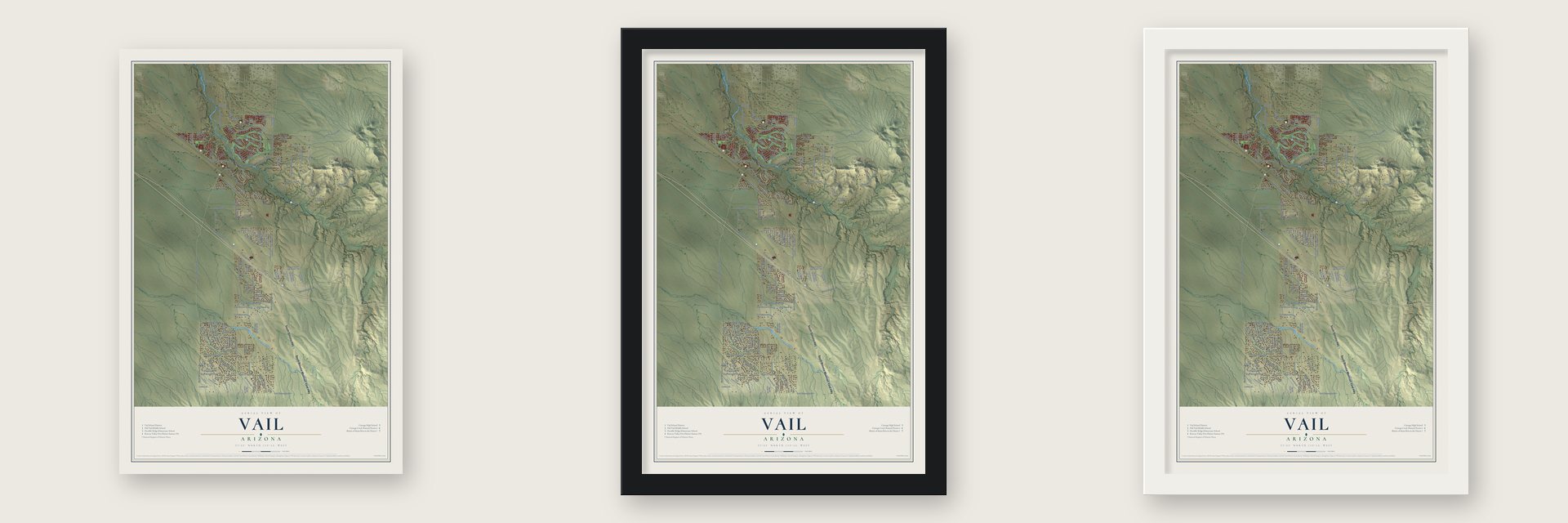
Unframed archival matte, a black wood frame or a white wood frame.
Up close
Geography Worth Displaying
This map was created using accurate cartographic data and authoritative geographic sources, including the U.S. Geological Survey (USGS) and FEMA. The map brings together terrain, waterways, roads, and building detail. The majority of the streets are labeled, houses are accurately depicted, and the topography is derived from government sources. Combining local data with carefully composed color and shading leads to this beautifully detailed Vail artwork for your wall.
Rather than simply showing street outlines, we’ve included as many of the street names as we could reasonably fit on the map while keeping their names legible. Zoom in on the high resolution preview to see exactly what’s on the map. We truly set out to create a statement piece for anyone who loves Vail. So whether it’s for you, or a gift for someone you love, we hope this map of Vail brings back fond memories.
Explore the full map of Vail, Arizona and read about the local places it shows.

Find your street
Names on the Vail map
Every name below is printed on this map. Look for your street, your school, the park where you played, or the pond down the road.
Places and landmarks2
- New Tucson
- Mountain View
Streets and roads130
- South Sonoita Highway
- South Sonoita Mountain View Highway
- East Colossal Cave Road
- South Pistol Hill Road
- North Davidson Road
- Sundown Boulevard
- Sandy Lake Drive
- South Wentworth Road
- East Andrada Road
- East Rincon View Drive
- Frontage Road
- North Vail View Road
- South Cam Loma Alta
- North Wentworth Road
- East Via Rancho del Lago
- North Cll Rinconado
- East Sahuarita Road
- South Resource Way
- East Benson Highway
- East Wetstones Road
- East Mary Ann Cleveland Way
- Marsh Station Road
- East Cll Bacardi
- South Leon Ranch Road
- Monthan Ranch Road
- East Dawn Road
- East Rex Molly Road
- East Mokes Mile Trail
- East Success Road
- East Cll Agassiz
Show all 130 streets
- East Success Drive
- East Pugly Lake Drive
- North Slate Drive
- East Cienega Creek Drive
- East Broadview Drive
- South Hound Dog Road
- South Sharon Road
- North Darlene Drive
- South Lava Peak Avenue
- East Mescalero Drive
- North Suntan Drive
- East Wiley Lane
- East Col Cave Road
- Sharon Road
- East Windy Way
- Tomasita Drive
- East Shasta Lane
- Maxine Drive
- Larkin Drive
- East Nana Drive
- North Vidal Drive
- Agassiz Road
- South Mace
- Del Sur Drive
- East Red Iron Trail
- North Solar Drive
- South Camin Loma Alta
- East French Joe Camp Trail
- East Rough Road
- South Ocotillo Ridge Trail
- East Sands Ranch Road
- Via Rancho del Lago
- South Great Horned Owl Way
- North Reta Drive
- South Bird Dog Avenue
- North Hilton Drive
- East Blue Lava Trail
- South Morning Dew Trail
- North Fairhaven Drive
- North Laney Drive
- East Cam San Clemente
- East Yellow Sage Lane
- South Vail Desert Trail
- South Hiram Road
- East Lazy Jake Lane
- East Inspiration Drive
- East Wild Jesse Way
- North Gentle Breeze Lane
- Ox Cart Trail
- South High Haven Mesa
- South Cmo Loma Alta
- South Vail Creek Place
- North Margo Drive
- South High Bluff Drive
- East Lomas Drive
- Fiery Dawn Drive
- East Cll Riobamba
- East Roslyn Lane
- South Tewa Trail
- East Poelstra Street
- South Shalom Drive
- East Vail Ranch Road
- South Hunting Dog Road
- South Vail View Road
- East Hislop Hill Drive
- South Hathaway Ranch Road
- South Red Horizon Trail
- South Alley Mountain Drive
- East Via Valderrama
- North Westview Drive
- Sage Hills Drive
- East Darlene Drive
- South Black Surrey Drive
- South Miramar Canyon Pass
- East Crysman Lane
- East Horse Whisper Trail
- East Iris Place
- South Tea Wagon Way
- East Via Cerro del Molino
- East Huppenthal Bl
- East Bright Sky Loop
- Mountain View-Sonoita Highway
- South Rockhouse Canyon Trail
- North Alderwood Manor Drive
- East Blue Cactus Lane
- North Kirkview Drive
- East Diablo Creek Drive
- North Atrisco Drive
- South Preserve Drive
- East Crysmon Lane
- East Race Horse Place
- East Nesher Road
- North Davidson Canyon Road
- Alternative Way
- South Witter Piano Mount Place
- South Wild Rabbit Run Road
- East Buffalo Dance Trail
- East Hannah Trail
- East Mineta Ridge Drive
- East Hay Bale Trail
Names are listed as they appear on the printed map. Zoom into the product photos to find them.
About Vail, Arizona
Vail is a community of 13,604 people in Pima County, 24 miles southeast of Tucson. It began as a railroad siding where Southern Pacific trains stopped for water, set on the final stretch of level ground before the line dropped into the bed of Cienega Creek along an old wagon road.
The place is named for Edward and Walter Vail, brothers who started ranches here in the late 1800s. Edward gave the railroad its right of way across his Vail Ranch. Vail grew from 2,484 people in 2000 to 13,604 in 2020, but it has never incorporated, because residents rejected becoming a town in 2013 and again in 2023.
- Walter Vail's Empire RanchIn 1876 Walter Vail and his English partner, Herbert Hislop, bought the nearby Empire Ranch along with 612 head of cattle. At its peak the Empire spread over more than 180 square miles, reaching from the Rincon and Santa Rita mountains to the Whetstones and Huachucas, which made it one of Arizona's biggest ranches. Walter became a leading builder of the cattle business in southern Arizona. Cattle still graze the Empire today, under the Bureau of Land Management.
- Colossal CaveNear Vail lies a cave that the Hohokam, Sobaipuri and Apache people used from 900 to 1450 AD, once called Mountain Springs Cave and Five-Mile Cave. The explorer Lynn Hodgson surveyed it in 1917, wrote that it was colossal and later claimed the name. A different telling gives that honor to Byron Cummings, a University of Arizona man. Its mapped passages run about 3.9 miles, and in 2025 guides found about 0.4 miles more.
- A high school in 2001The Vail school district goes back to 1903, but for most of its life it sent no students to a high school of its own. Cienega High School finally opened in 2001, welcoming about 400 freshmen and sophomores that fall. Nick Gonzales hit .399 there, then led the nation at .432 for New Mexico State, and in 2020 the Pittsburgh Pirates drafted him seventh overall.
- A comet hunter at homeThe astronomer David H. Levy lives in Vail. He has discovered or helped discover 23 comets. One of them, Comet Shoemaker-Levy 9, found in 1993, slammed into Jupiter in 1994, and that crash was the first planetary-scale impact anyone had watched in the Solar System.
Keep exploring Arizona
Vail is one of 519 Arizona towns we've mapped. Every dot on the map is a print of its own.
The search covers every state, Arizona first.
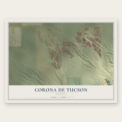
Near Vail
Order 2 or more town maps and save 10%. Shown in the size and finish you picked above, so they hang as a set.
- Rincon Valley 12" x 18" / Archival Matte Print $39.99
- Corona de Tucson 12" x 18" / Archival Matte Print $39.99
- Tucson 12" x 18" / Archival Matte Print $39.99


More maps nearby: J-Six Ranchettes, Summit, Mescal, Sahuarita and Tanque Verde.
The art of mapping a place
How This Map Was Made
Real places. Remarkable detail. Discover the layers that turn geographic data into a map of home.

The view from above
Aerial imagery reveals the character of the land: woodland, open fields, and the patterns of a place.

The shape of the land
Elevation data brings hills, valleys, and subtle changes in the landscape into view.

The details of home
Roads, waterways, and building footprints come together to make the map feel unmistakably local.

Geography becomes art
Considered color, shading, and typography bring the layers together in a map made for your wall.


Process illustrated with Mendon, Massachusetts. Aerial imagery: USDA NAIP. Terrain: USGS 3D Elevation Program. Map details and finished artwork: KNOWOL.
The Details
About This Print
Choose an archival matte print, or a black or white Ayous wood frame. The archival matte print is unframed.
Select your size and finish above to see the matching product image and price.
Materials & Craftsmanship
A contemporary map with the character of a classic atlas, printed on archival matte paper. Optional frames are made from Ayous wood.
Your printed map does not include the watermark shown in the full-map preview.
Shipping & Delivery
Free shipping within the United States. Every print is made to order in the USA.
Buying a gift? Add a note in your cart and we'll include it. We never put prices in the package.
Prints ship within 2 to 3 business days. Allow 7 to 10 days total from ordering for delivery. Timing may vary during holidays or periods of high order volume.
Read our shipping policy.
Returns and damaged prints
Each print is made to order. Change-of-mind refunds are not available after production.
If your print arrives damaged, misprinted or incorrect, contact support@knowol.com within 30 days of receiving it. Include your order number, photos and a description of the issue.
Read our full refund and replacement policy. For questions about your order, email support@knowol.com.