
Search for another town
Free U.S. delivery 7 to 10 days after you order
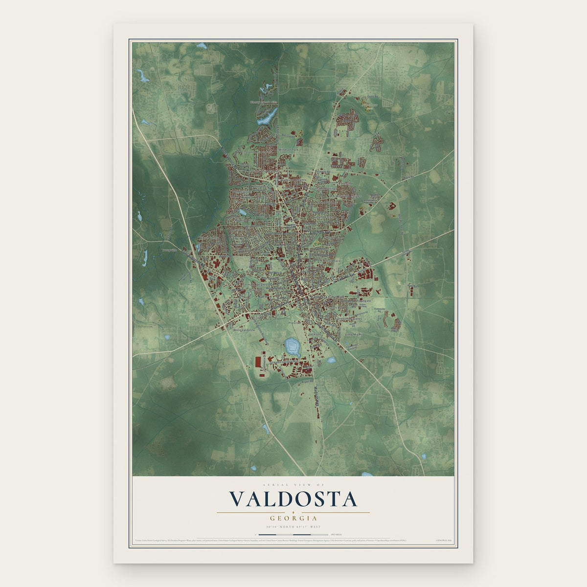
Valdosta, Georgia Map Art
Building by building, with labeled streets and shaded relief.
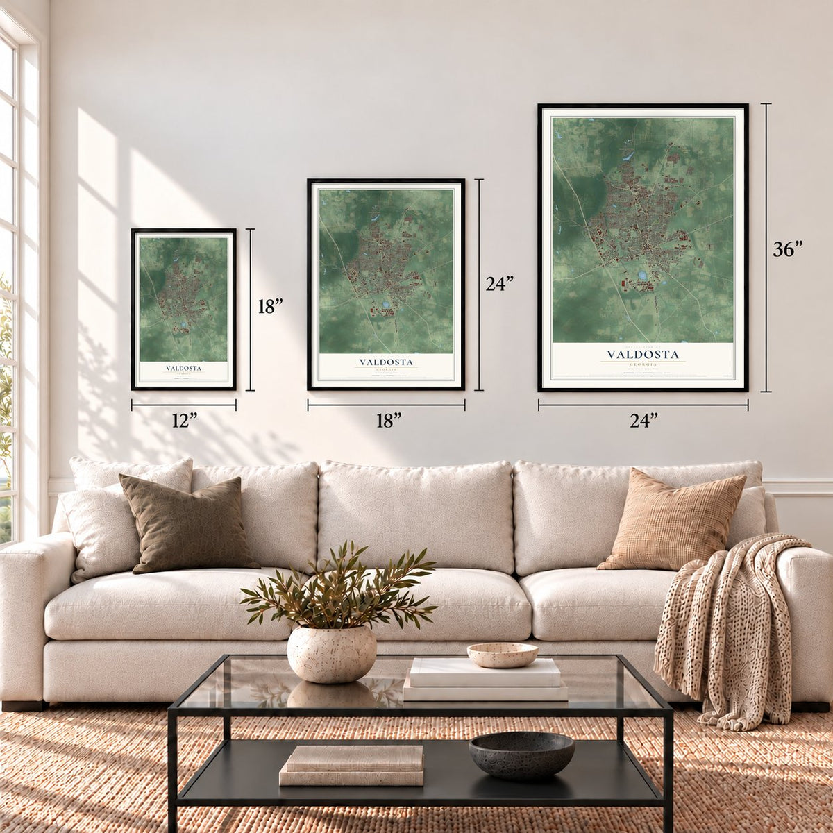
12" x 18" Archival Matte Print
A Map of Home. A Work of Art.
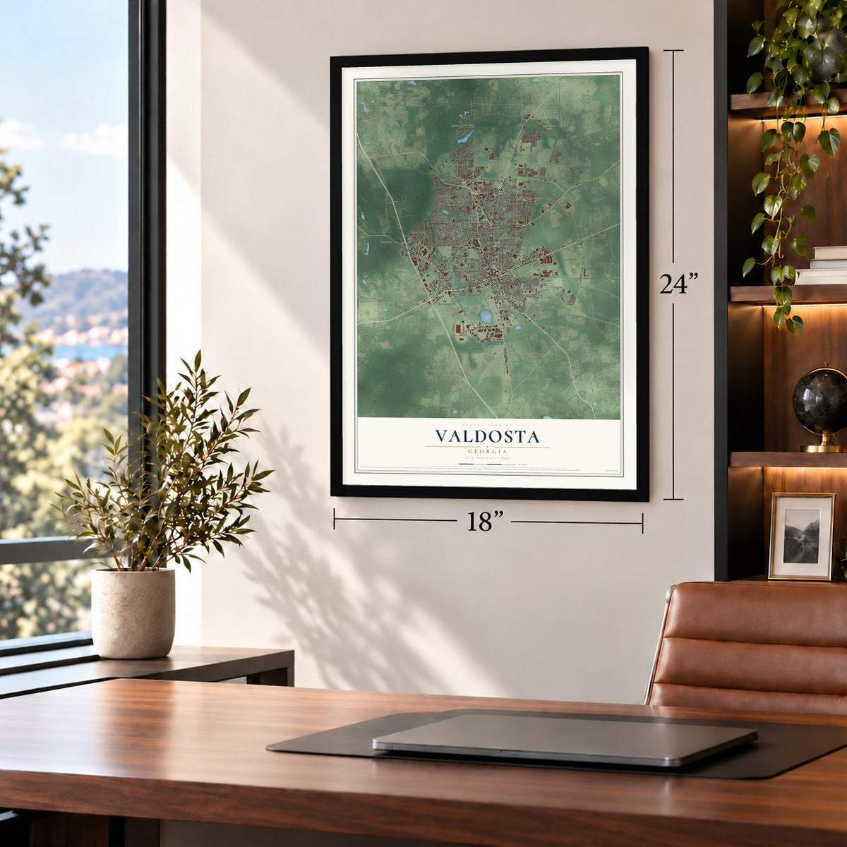
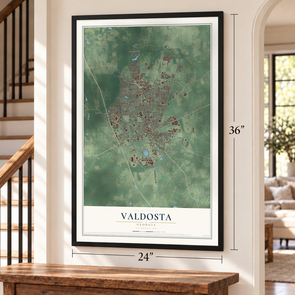
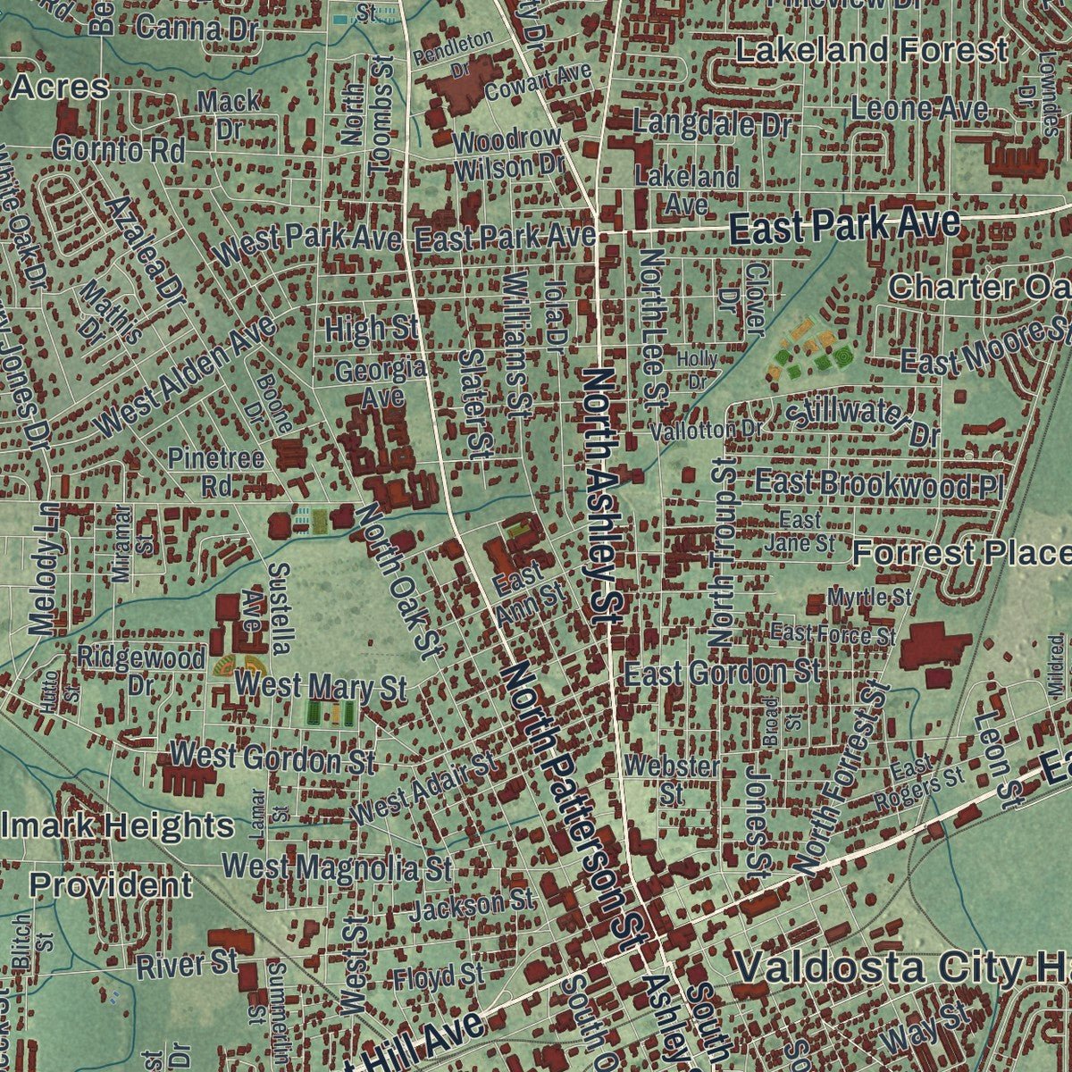
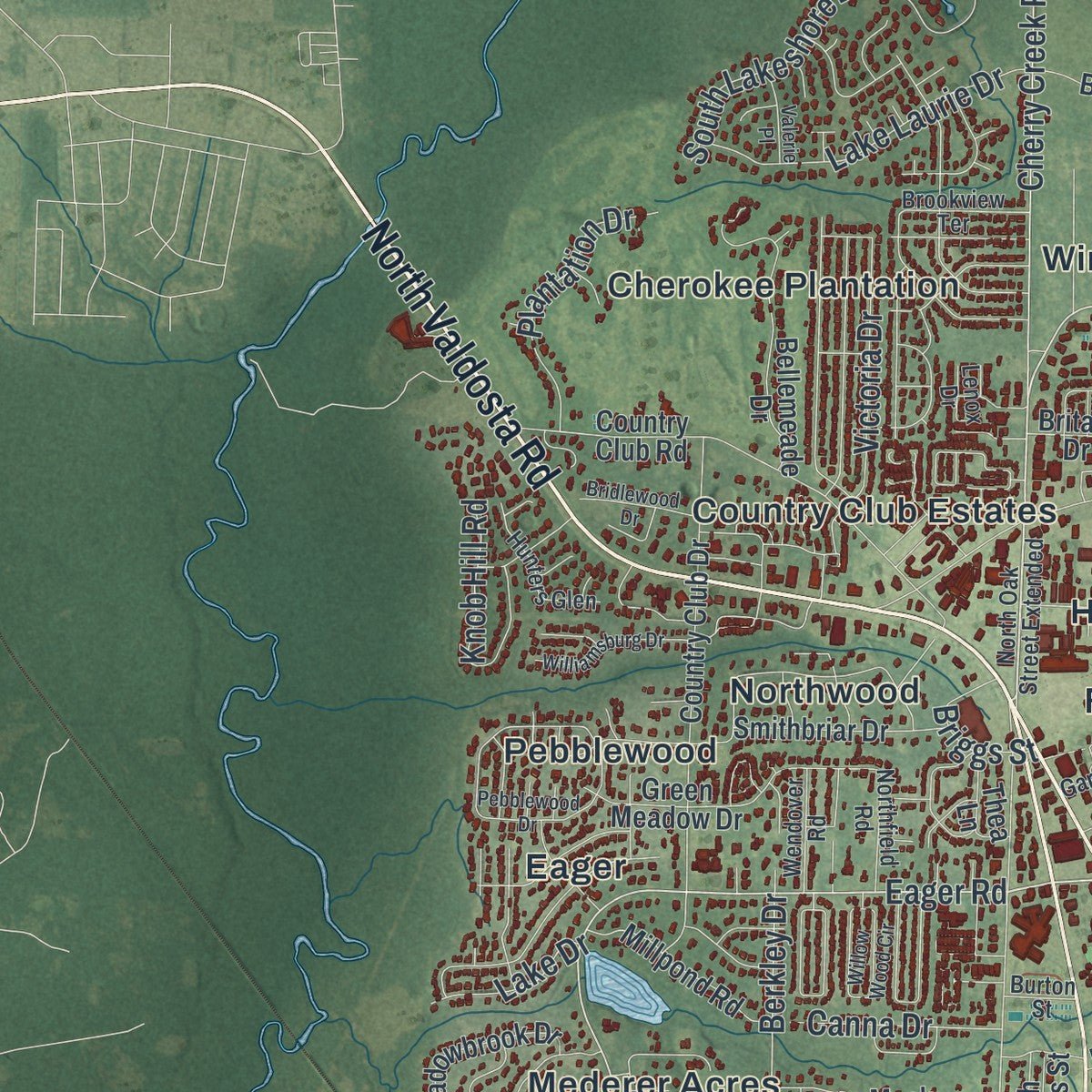
Explore Valdosta, Georgia from a whole new perspective. Created using aerial imagery and detailed geographic data, this map captures Valdosta building by building, with labeled streets, familiar landmarks, and shaded topographical relief that highlights the natural contours of the landscape.
Combining modern data with the timeless character of a vintage atlas, this map is just as interesting up close as it is beautiful on the wall. Whether you grew up in Valdosta, spent memorable years there, or call it home today, this unique map is a great way to celebrate a place that means something to you. Zoom in on the preview to look for your street, and then order a print to put your memories on the wall.

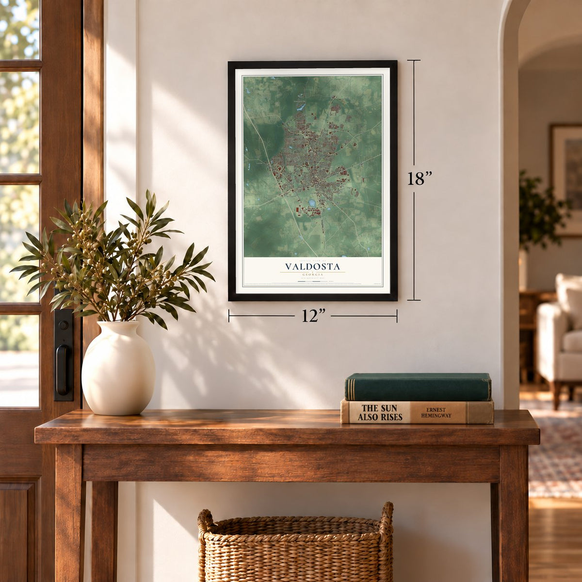
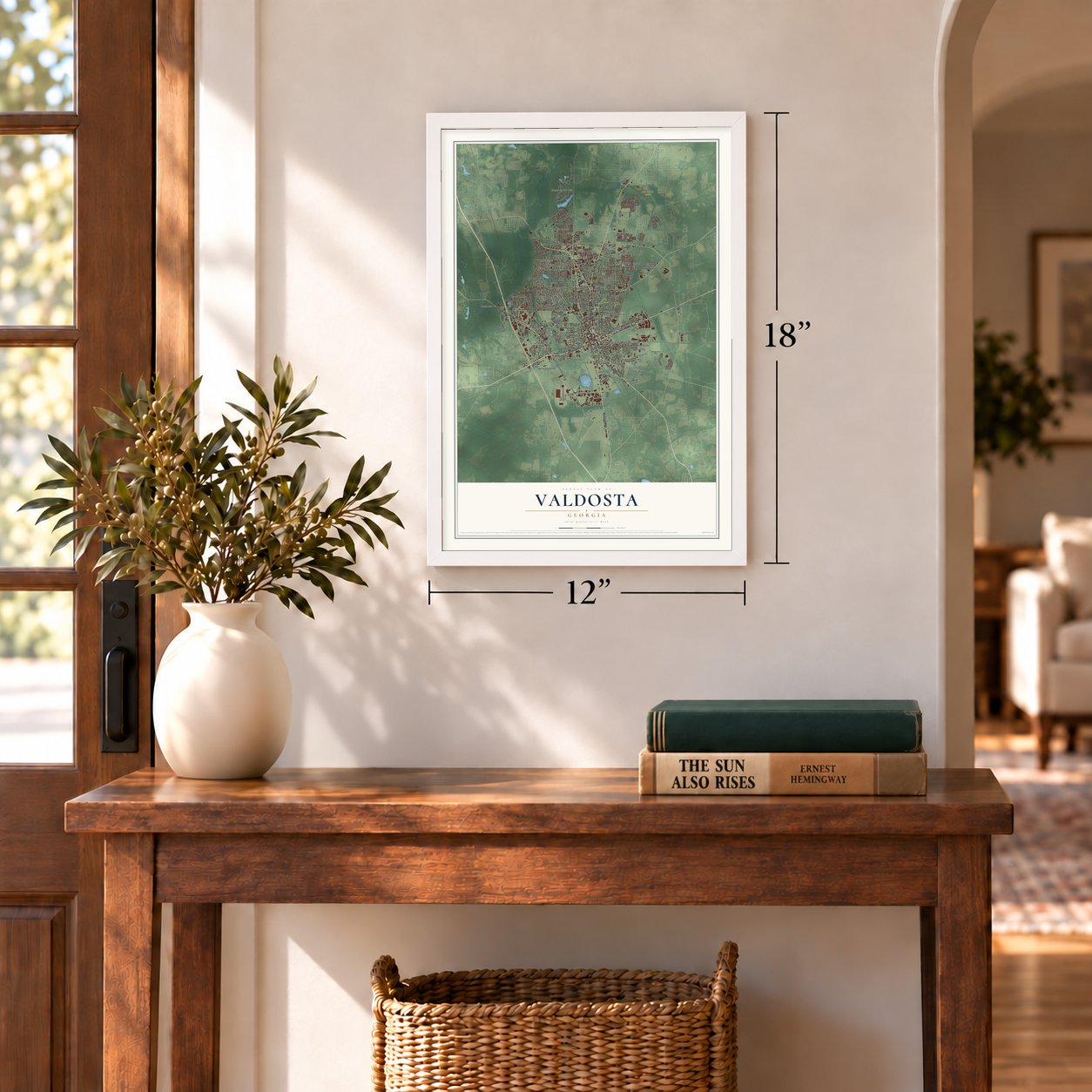
Three ways to hang it
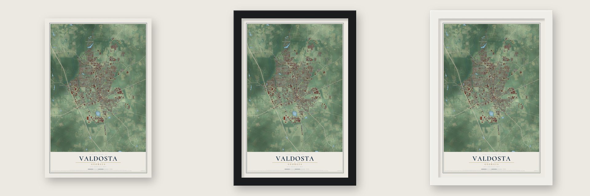
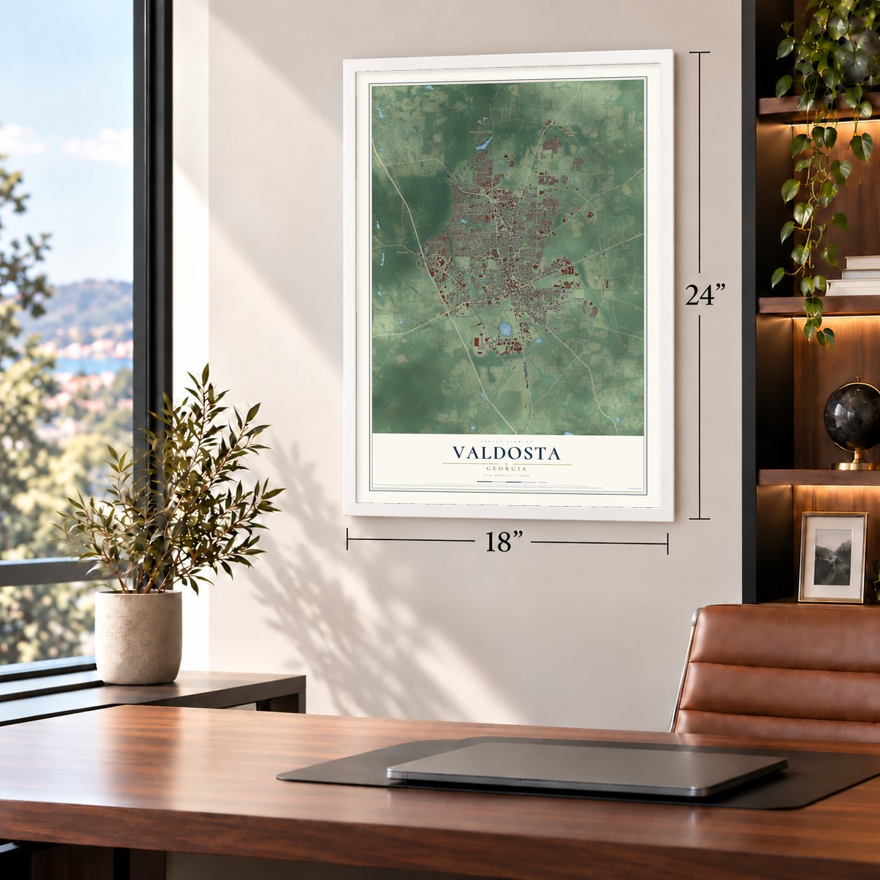
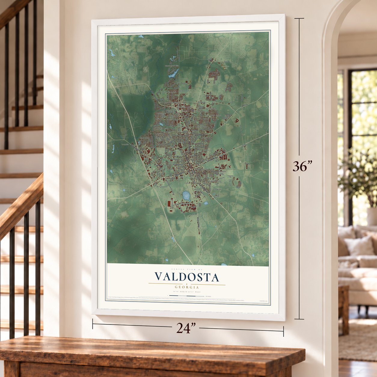
Unframed archival matte, a black wood frame or a white wood frame.
Up close
Geography Worth Displaying
This map was created using accurate cartographic data and authoritative geographic sources, including the U.S. Geological Survey (USGS) and FEMA. The map brings together terrain, waterways, roads, and building detail. The majority of the streets are labeled, houses are accurately depicted, and the topography is derived from government sources. Combining local data with carefully composed color and shading leads to this beautifully detailed Valdosta artwork for your wall.
Rather than simply showing street outlines, we’ve included as many of the street names as we could reasonably fit on the map while keeping their names legible. Zoom in on the high resolution preview to see exactly what’s on the map. We truly set out to create a statement piece for anyone who loves Valdosta. So whether it’s for you, or a gift for someone you love, we hope this map of Valdosta brings back fond memories.
Explore the full map of Valdosta, Georgia and read about the local places it shows.
Find your street
Names on the Valdosta map
Every name below is printed on this map. Look for your street, your school, the park where you played, or the pond down the road.
Places and landmarks31
- Valdosta City Hall
- Cherry Creek Hills
- Freedom Park
- Charter Oaks
- Cherokee Plantation
- Country Club Estates
- Dellwood
- Eager
- Eastwind
- Five Points
- Forrest Place
- Forresthill Estates
Show all 31 places
- Forrestwood Estates
- Hallmark Heights
- Highland Heights
- Jackson
- Joree Springs
- Lakeland Forest
- Lincoln Park
- Little Miami
- Mederer Acres
- Northwood
- Pebblewood
- Prescott
- Provident
- South Ree Springs
- Troupville
- West Valdosta
- Windsor Park
- Wood Valley
- Woodgate
Streets and roads230
- North Ashley Street
- North Patterson Street
- Saint Augustine Road
- South Patterson Street
- West Hill Avenue
- East Hill Avenue
- North Valdosta Road
- East Park Avenue
- Madison Highway
- Bemiss Road
- Saint Augustine Road South
- Eager Road
- Jerry Jones Drive
- Melody Lane
- North Troup Street
- West Gordon Street
- West Alden Avenue
- Berkley Drive
- Inner Perimeter Road
- North Forrest Street
- Baytree Road
- North Oak Street
- Gornto Road
- Staten Road
- Gil Harbin Industrial Boulevard
- River Street
- Jaycee Shack Road
- Northside Drive
- Norman Drive
- West Magnolia Street
Show all 230 streets
- North Lee Street
- James Road
- Cypress Street
- Pineview Drive
- Williams Street
- Slater Street
- Clay Road
- East Moore Street
- South Lakeshore Drive
- West Park Avenue
- Cherry Creek Road
- South Troup Street
- Lake Laurie Drive
- Azalea Drive
- West Street
- Robert Drive
- Bethune Street
- East Brookwood Place
- South Oak Street
- Guest Road
- East Gordon Street
- Griffin Avenue
- Ulmer Avenue
- West Mary Street
- Connell Road
- Plantation Drive
- Leone Avenue
- Applecross Road
- Airport Road
- Tucker Road
- Stallings Road
- Park Lane
- Knob Hill Road
- Victoria Drive
- Val Tech Road
- Commerce Drive
- Langdale Drive
- Lankford Drive
- Jones Street
- Louis Drive
- Canna Drive
- Tucker Lane
- Perimeter Road
- Briggs Street
- Stillwater Drive
- Poole Road
- Lake Drive
- Jones Avenue
- John Street
- Nan Street
- Beck Street
- Leon Street
- Way Street
- Hunt Road
- High Street
- Eli Place
- South Ashley Street
- Blanchard Street
- West Savannah Avenue
- North Toombs Street
- Melrose Drive
- Old Clyattville Road
- Country Club Drive
- Country Club Road
- Lakeland Avenue
- Georgia Avenue
- Knights Mill Drive
- East Ann Street
- Boys Club Road
- Cherry Creek Drive
- Tyndall Drive
- Bellemeade Drive
- Riverside Drive
- University Drive
- South Sherwood Drive
- Technology Crossing
- Iola Drive
- West Adair Street
- Pinecliff Drive
- Dogwood Circle
- Statenville Road
- Sustella Avenue
- White Oak Drive
- Young Drive
- Floyd Street
- North Lakeshore Drive
- Smith Avenue
- Dasher Johnson Road
- Oakgrove Circle
- Jackson Street
- Meadowbrook Drive
- Highland Heights Drive
- Millpond Road
- Smithbriar Drive
- Ridge Road
- Woodrow Wilson Drive
- Mack Drive
- Blue Pool Drive
- Orlando Drive
- Green Meadow Drive
- Lonesome Dove Drive
- Webster Street
- Mathis Drive
- Howell Road
- Cutter Point
- Highland Drive
- Harmon Drive
- Beulah Circle
- Ridgewood Drive
- Willow Way
- Ellis Drive
- Buena Vista Circle
- Savannah Avenue
- Thea Lane
- Kelly Drive
- Pecan Drive
- Pinetree Road
- West End Drive
- Green Hill Drive
- Miller Street
- Dow Street
- Studstill Road
- Shasta Pines
- Napa Drive
- Walden Road
- Britain Drive
- Lynn Terrace
- Viking Way
- Clover Drive
- River Way
- Seth Place
- North Oak Street Extended
- Old Statenville Road
- East Rogers Street
- East Force Street
- Vallotton Drive
- East Jane Street
- Lake Park Road
- Houston Avenue
- Northfield Road
- Whithorn Way
- Myrtle Street
- Norton Place
- Continental Drive
- Fontana Road
- Wisenbaker Lane
- Lowndes Drive
- Bancroft Road
- Cowart Avenue
- Hunters Glen
- Thomwal Street
- Brookview Terrace
- Boone Drive
- Summerlin Street
- Eastwind Road
- West McRee Drive
- Wendover Road
- Miramar Street
- Azalea East Parkway
- Falcon Drive
- Blitch Street
- Garden Drive
- Giddens Drive
- Linzie Drive
- Loch Laurel Street
- Boone Dairy Road
- Euclid Street
- Burton Street
- Lenox Drive
- Will Drive
- Branch Point Drive
- Pebblewood Drive
- Brookfield Road
- Lamar Street
- Willow Wood Circle
- Brighton Road
- Williamsburg Drive
- Valhalla Drive
- Broad Street
- Chadwyck Drive
- Mildred Street
- Bridlewood Drive
- Madison Heights Drive
- Harbin Circle
- Myddleton Road
- Pendleton Drive
- Douglas Street
- Southers Lane
- Vahalla Road
- Valerie Place
- Druid Oaks Drive
- Bay Street
- Hiers Street
- Almond Tree Place
- Holly Drive
- Howell Lane
- Alene Way
- Hayes Road
- Ray Lane
- Hutto Street
Names are listed as they appear on the printed map. Zoom into the product photos to find them.
About Valdosta, Georgia
Valdosta is a city of 55,378 people and the county seat of Lowndes County, 15 miles north of the Florida line. It is named for Valdosta, the plantation of Governor George Troup, who had borrowed the name from the Aosta Valley in Italy. When the Atlantic and Gulf Railroad was laid 4 miles from Troupville, the old county seat, many of that town's people moved to the new line. On December 7, 1860, the state legislature incorporated Valdosta and made it the county seat in Troupville's place.
The engine Satilla No. 3 brought the first train into town that July, and the railroad helped the new seat grow. Cotton made Valdosta prosperous, and in 1910 Fortune placed it first in the nation for income per resident. Then the boll weevil spread east across the South and wiped out much of the local cotton in 1917, so farmers here turned to tobacco and pine timber. A college opened at the edge of town in January 1913 as the South Georgia State Normal College, and over the next century it grew into Valdosta State University.
- Coca-Cola bottled in 1897In 1897 a plant in Valdosta became the second in the world to bottle Coca-Cola. Two years later, in 1899, Remerton grew up as a cotton mill town just 2 miles from downtown Valdosta.
- The elephant chase of 1902In November 1902, Gypsy, the prize elephant of the Harris Nickel-Plate Circus, turned on her trainer, James O'Rourke, and killed him. She frightened the town for a couple of hours, then fled north to Cherry Creek. Police Chief Calvin Dampier and a posse went after her, and she was shot and buried where she fell. O'Rourke was laid to rest in Valdosta's Sunset Hill Cemetery.
- A new courthouse in 1904Plans for a bigger courthouse began in 1900. In March 1904 the old building came down, and the new Lowndes County Courthouse was built that year for around $75,000. Court first met in it on April 14, 1905, and it is now on the National Register.
- A dry city in 1907Valdosta had allowed liquor since its founding, but on July 28, 1907, voters made it a dry city. On the last day before the change, saloons sold a record $10,000 worth of whiskey.
- Wild Adventures since 1996In 1994 Kent and Dawn Buescher started Liberty Farms Animal Park, which had a playground, a stage and a collection of animals. They added rides, renamed it Wild Adventures in 1996 and opened Splash Island Water Park in 2002. After three hurricanes damaged their Cypress Gardens park in Florida, the family sold Wild Adventures in 2007 to Herschend Family Entertainment, which still runs the 166-acre park south of the city.
Keep exploring Georgia
Valdosta is one of 1,042 Georgia towns we've mapped. Every dot on the map is a print of its own.
The search covers every state, Georgia first.
Near Valdosta
Order 2 or more town maps and save 10%. Shown in the size and finish you picked above, so they hang as a set.
- Remerton 12" x 18" / Archival Matte Print $39.99
- Bemiss 12" x 18" / Archival Matte Print $39.99
- Dasher 12" x 18" / Archival Matte Print $39.99


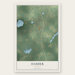
More maps nearby: Moody AFB, Hahira, Clyattville, Lake Park and Naylor.
The art of mapping a place
How This Map Was Made
Real places. Remarkable detail. Discover the layers that turn geographic data into a map of home.

The view from above
Aerial imagery reveals the character of the land: woodland, open fields, and the patterns of a place.

The shape of the land
Elevation data brings hills, valleys, and subtle changes in the landscape into view.

The details of home
Roads, waterways, and building footprints come together to make the map feel unmistakably local.

Geography becomes art
Considered color, shading, and typography bring the layers together in a map made for your wall.


Process illustrated with Mendon, Massachusetts. Aerial imagery: USDA NAIP. Terrain: USGS 3D Elevation Program. Map details and finished artwork: KNOWOL.
The Details
About This Print
Choose an archival matte print, or a black or white Ayous wood frame. The archival matte print is unframed.
Select your size and finish above to see the matching product image and price.
Materials & Craftsmanship
A contemporary map with the character of a classic atlas, printed on archival matte paper. Optional frames are made from Ayous wood.
Your printed map does not include the watermark shown in the full-map preview.
Shipping & Delivery
Free shipping within the United States. Every print is made to order in the USA.
Buying a gift? Add a note in your cart and we'll include it. We never put prices in the package.
Prints ship within 2 to 3 business days. Allow 7 to 10 days total from ordering for delivery. Timing may vary during holidays or periods of high order volume.
Read our shipping policy.
Returns and damaged prints
Each print is made to order. Change-of-mind refunds are not available after production.
If your print arrives damaged, misprinted or incorrect, contact support@knowol.com within 30 days of receiving it. Include your order number, photos and a description of the issue.
Read our full refund and replacement policy. For questions about your order, email support@knowol.com.