
Search for another town





Free U.S. delivery 7 to 10 days after you order
Valley Stream, New York Map Art
A new map of Valley Stream, New York, made in 2026 and printed to order on thick archival matte paper.
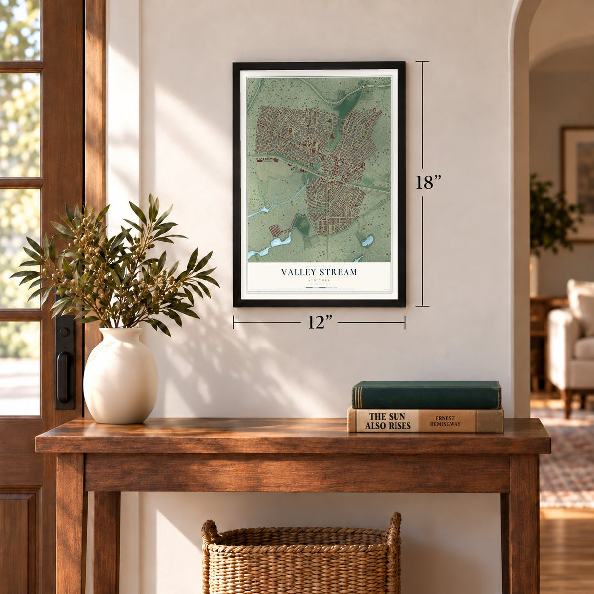
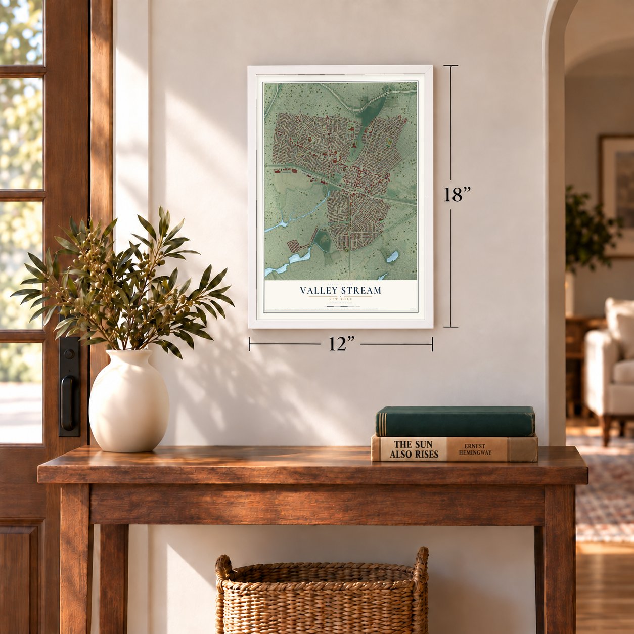
12" x 18" Archival Matte Print
A Map of Home. A Work of Art.
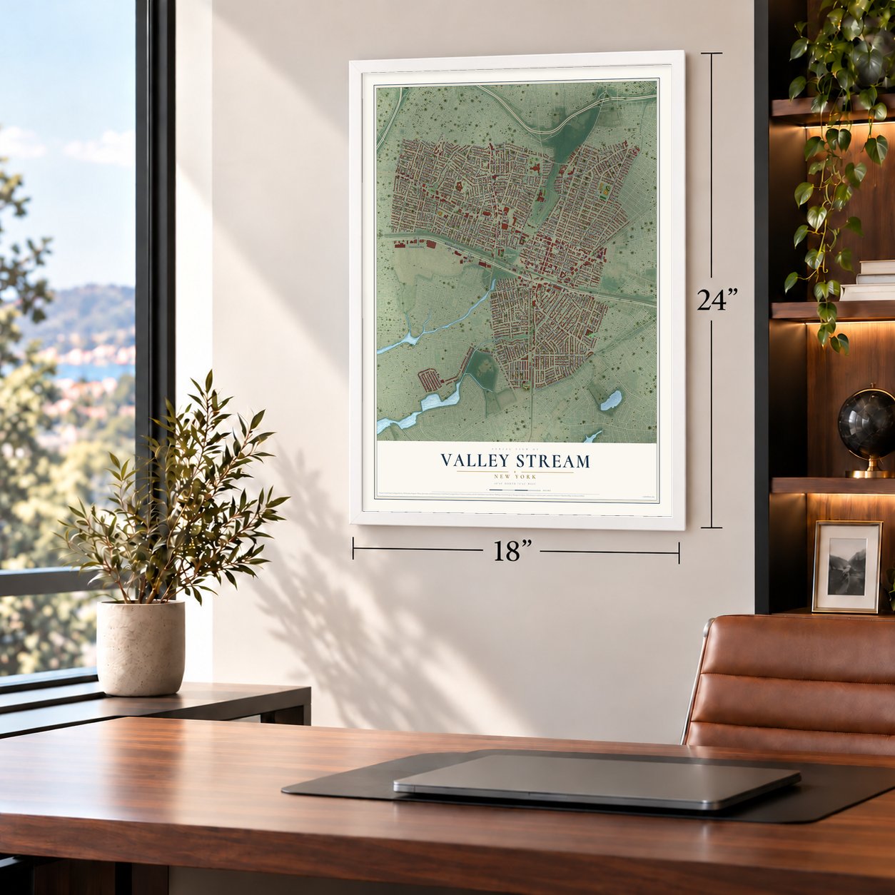
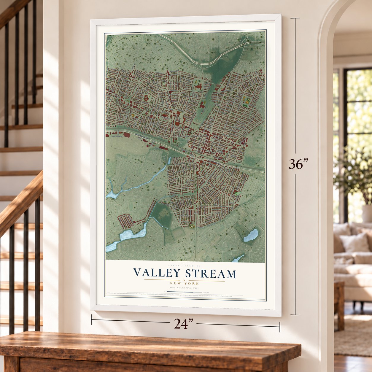
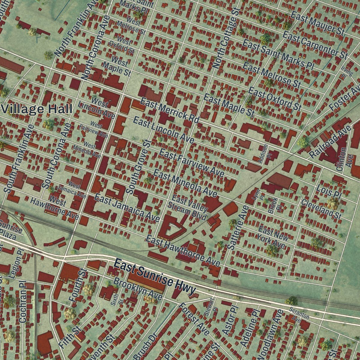
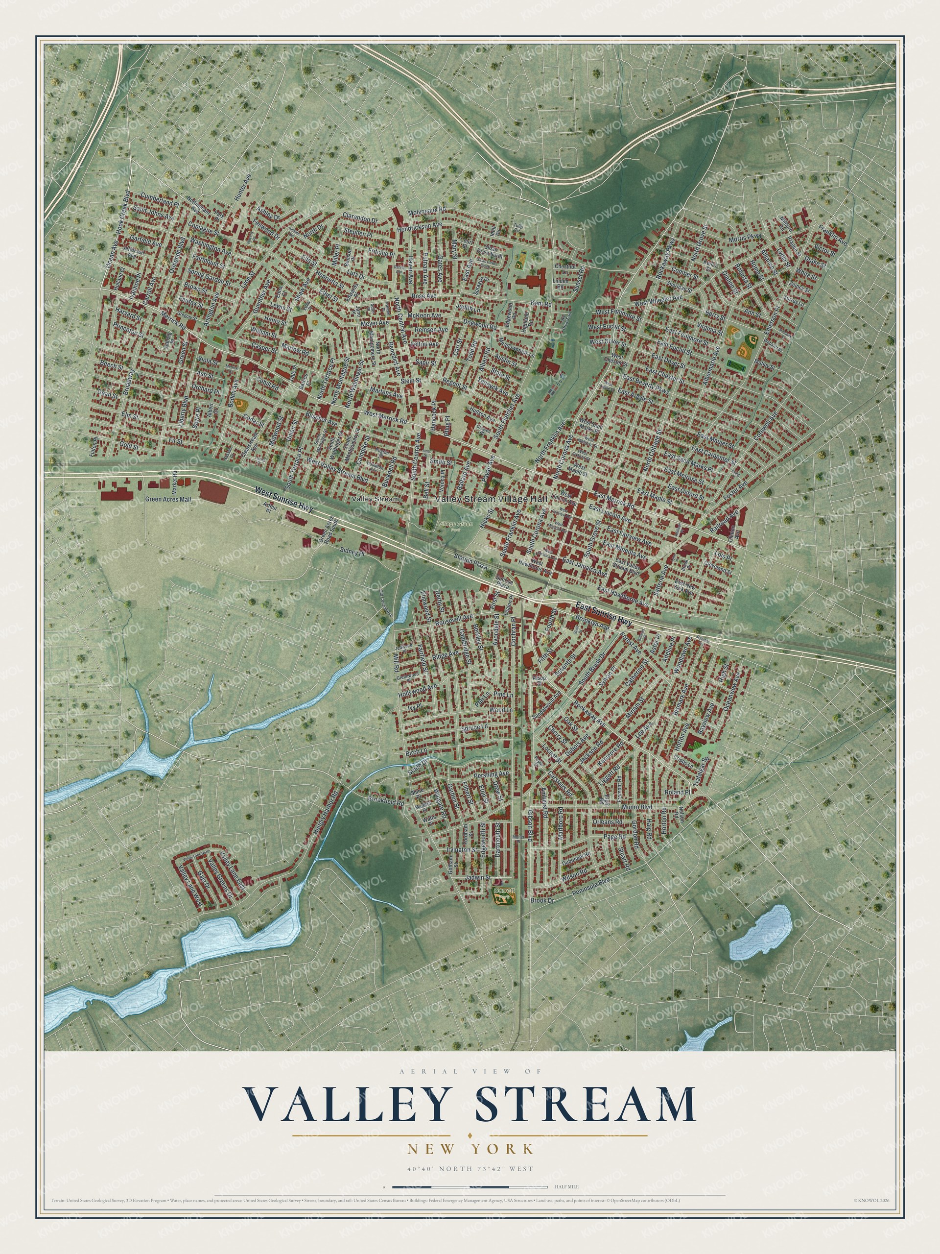
Explore Valley Stream, New York from a whole new perspective. Created using aerial imagery and detailed geographic data, this map captures Valley Stream building by building, with labeled streets, familiar landmarks, and shaded topographical relief that highlights the natural contours of the landscape.
Combining modern data with the timeless character of a vintage atlas, this map is just as interesting up close as it is beautiful on the wall. Whether you grew up in Valley Stream, spent memorable years there, or call it home today, this unique map is a great way to celebrate a place that means something to you. Zoom in on the preview to look for your street, and then order a print to put your memories on the wall.
Three ways to hang it
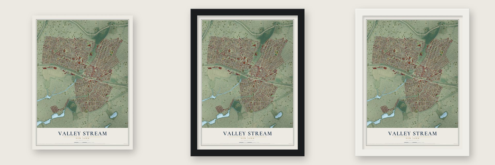
Unframed archival matte, a black wood frame or a white wood frame.
Up close
Geography Worth Displaying
This map was created using accurate cartographic data and authoritative geographic sources, including the U.S. Geological Survey (USGS) and FEMA. The map brings together terrain, waterways, roads, and building detail. The majority of the streets are labeled, houses are accurately depicted, and the topography is derived from government sources. Combining local data with carefully composed color and shading leads to this beautifully detailed Valley Stream artwork for your wall.
Rather than simply showing street outlines, we’ve included as many of the street names as we could reasonably fit on the map while keeping their names legible. Zoom in on the high resolution preview to see exactly what’s on the map. We truly set out to create a statement piece for anyone who loves Valley Stream. So whether it’s for you, or a gift for someone you love, we hope this map of Valley Stream brings back fond memories.
Explore the full map of Valley Stream, New York and read about the local places it shows.

Find your street
Names on the Valley Stream Village map
Every name below is printed on this map. Look for your street, your school, the park where you played, or the pond down the road.
Places and landmarks4
- Valley Stream Village Hall
- Village Green Park
- Barrett Park
- Valley Stream
Streets and roads334
- West Sunrise Highway
- East Sunrise Highway
- Rockaway Avenue
- North Corona Avenue
- West Merrick Road
- Merrick Road
- Munro Boulevard
- East Merrick Road
- Brooklyn Avenue
- Ocean Avenue
- North Waldinger Street
- Mill Road
- West Valley Stream Boulevard
- Emerson Place
- Rockaway Parkway
- North Grove Street
- Cochran Place
- Hendrickson Avenue
- Gibson Boulevard
- North Cottage Street
- Peninsula Boulevard
- Hungry Harbor Road
- West Wheeler Avenue
- South Fletcher Avenue
- North Central Avenue
- Dubois Avenue
- Albermarle Avenue
- East Dover Street
- East Chester Street
- Cedar Street
Show all 334 streets
- East Beverly Parkway
- Buscher Avenue
- Elmwood Street
- East Argyle Street
- East Hawthorne Avenue
- East Mineola Avenue
- Cornwell Avenue
- East Maujer Street
- Lyon Street
- Fir Street
- East Avenue
- East Carpenter Street
- Locust Street
- Broadway
- South Franklin Avenue
- Meyer Avenue
- Ethel Street
- Washington Avenue
- Roosevelt Avenue
- East Euclid Street
- South Brush Drive
- Shaw Avenue
- Foster Avenue
- East Saint Marks Place
- Ash Street
- Martens Avenue
- East Melrose Street
- Green Street
- South Terrace Place
- Bismark Avenue
- East Oxford Street
- Hicks Street
- Derby Street
- East Maple Street
- Elm Street
- Horton Avenue
- Woodlawn Avenue
- Cambridge Street
- South Central Avenue
- Spruce Lane
- Ormonde Boulevard
- Gordon Road
- Carroll Avenue
- Wood Lane
- South Drive
- North Terrace Place
- East Jamaica Avenue
- Green Acres Mall
- Berry Street
- Birch Lane
- Wilson Road
- Fairfield Street
- Amherst Road
- Page Road
- Morris Parkway
- East Lincoln Avenue
- Arlington Avenue
- Boden Avenue
- Hook Creek Boulevard
- Haig Road
- Benedict Avenue
- Ridge Avenue
- Berkley Street
- Edgeworth Street
- East Fairview Avenue
- Hollywood Avenue
- Dogwood Road
- Molyneaux Road
- Kent Road
- Marlboro Road
- Liberty Boulevard
- State Street
- Clarendon Drive
- South Grove Street
- South Corona Avenue
- Regent Street
- Copiague Street
- Brown Street
- Brookfield Road
- Pershing Avenue
- Beech Street
- Sidney Place
- Bucknell Road
- Home Street
- Camdike Street
- Carstairs Road
- Oceanview Avenue
- Sylvan Place
- East Fenimore Street
- Lutz Drive
- Dean Street
- Ann Street
- Guenther Avenue
- Catherine Street
- Sapir Street
- Horton Road
- Seventh Street
- North Montague Street
- Virginia Street
- Irvington Street
- Miriam Street
- Wingate Road
- Fifth Street
- Forest Avenue
- Mary Street
- Gates Avenue
- Union Street
- Albert Road
- Gold Street
- Putnam Avenue
- Fourth Street
- Avondale Street
- Haven Avenue
- Midwood Street
- Hunter Avenue
- Franklin Avenue
- Satterie Avenue
- Fritchie Place
- Todd Road
- Rose Avenue
- North Franklin Avenue
- Roberta Street
- Carl Street
- Princeton Street
- Valley Greens Drive
- Harvard Street
- Fairmount Street
- Gale Drive
- Stephen Place
- Ballard Avenue
- Jadwin Street
- Jackson Road
- Payan Avenue
- Spring Garden Street
- Station Plaza
- Dartmouth Street
- Casper Street
- Valley Lane West
- Liggett Road
- Valley Lane East
- Sunset Road
- Fenwood Drive
- Cumberland Place
- West Fenimore Street
- McKeon Avenue
- West Euclid Street
- Saint Johns Avenue
- Pine Lane
- Oak Street
- Cohill Road
- Garden Street
- Bell Street
- Garfield Avenue
- Kenmore Road
- Comber Street
- Henrietta Street
- Alliance Street
- Judith Lane
- North Drive
- Austin Street
- West Dover Street
- Ivanhoe Place
- Remsen Avenue
- Bayview Avenue
- Orleans Road
- Ashley Drive
- Trafalgar Square
- Teneyck Avenue
- Eton Street
- Filbert Street
- William Street
- Railroad Avenue
- Hancock Place
- Lee Avenue
- Marlow Road
- Felton Avenue
- Miller Place
- Lois Place
- Lydia Street
- Ivy Place
- Stuart Road
- Henry Street
- Fairfax Street
- Cherry Street
- Stein Street
- Adeline Place
- Orchard Place
- Drew Street
- Lewis Street
- Ella Street
- Victor Street
- Dianne Street
- White Street
- High Street
- Sayre Place
- Drake Street
- Roland Place
- Peri Lane
- First Street
- Smith Street
- Brook Drive
- Astor Place
- Viola Street
- Pflug Place
- Clearstream Avenue
- South Montgomery Street
- South Waldinger Street
- West Hawthorne Avenue
- North Montgomery Street
- East Valley Stream Boulevard
- Verona Place
- Keller Street
- West Lincoln Avenue
- Green Acres Road South
- East New York Avenue
- Edwards Place
- Cleveland Street
- Fordham Street
- Elgin Road
- Sprague Drive
- West Maple Street
- Meadowbrook Lane
- Gotham Street
- Sheridan Street
- Fremont Road
- Sandalwood Avenue
- West Saint Marks Place
- Jefferson Avenue
- Hudson Avenue
- Clinton Avenue
- Dubonnet Road
- Nottingham Avenue
- Highland Road
- Cripps Lane
- Edgewood Road
- Chestnut Lane
- Sloan Drive North
- Market Road
- West Chester Street
- Holland Court
- Linden Road
- Benson Place
- Waters Place
- Shine Place
- Surrey Lane
- Edna Court
- Zemek Street
- Motley Street
- Prague Street
- Nelson Road
- Legion Place
- Barnes Place
- Court Street
- Watts Place
- Fulton Place
- Sunrise Plaza
- Milburn Road
- Arthur Place
- Dale Place
- Jane Place
- Alsop Street
- Danzig Place
- Park Place
- Idell Road
- Albert Court
- South Montague Street
- Hamilton Avenue
- Old Central Avenue
- Pilgrim Place
- West Oxford Street
- West Melrose Street
- Gregory Street
- Greenwood Place
- Jedwood Place
- Webster Street
- Crowell Place
- Lake Drive East
- Poplar Street
- Muller Place
- Nassau Court
- Palmer Place
- Brook Place
- Edna Place
- Adler Place
- Tulip Circle
- West Jamaica Avenue
- West Mineola Avenue
- West Fairview Avenue
- Raisig Avenue
- Valley Lane North
- Sloan Drive South
- Sixth Street
- Irving Place
- Montauk Street
- Waverly Place
- Louise Place
- West Argyle Street
- Scranton Avenue
- Hillside Avenue
- Lynn Place
- Stewart Place
- Merrick Court
- Addison Place
- Iona Street
Names are listed as they appear on the printed map. Zoom into the product photos to find them.
The art of mapping a place
How This Map Was Made
Real places. Remarkable detail. Discover the layers that turn geographic data into a map of home.

The view from above
Aerial imagery reveals the character of the land: woodland, open fields, and the patterns of a place.

The shape of the land
Elevation data brings hills, valleys, and subtle changes in the landscape into view.

The details of home
Roads, waterways, and building footprints come together to make the map feel unmistakably local.

Geography becomes art
Considered color, shading, and typography bring the layers together in a map made for your wall.


Process illustrated with Mendon, Massachusetts. Aerial imagery: USDA NAIP. Terrain: USGS 3D Elevation Program. Map details and finished artwork: KNOWOL.
The Details
About This Print
Choose an archival matte print, or a black or white Ayous wood frame. The archival matte print is unframed.
Select your size and finish above to see the matching product image and price.
Materials & Craftsmanship
A contemporary map with the character of a classic atlas, printed on archival matte paper. Optional frames are made from Ayous wood.
Your printed map does not include the watermark shown in the full-map preview.
Shipping & Delivery
Free shipping within the United States. Every print is made to order in the USA.
Buying a gift? Add a note in your cart and we'll include it. We never put prices in the package.
Prints ship within 2 to 3 business days. Allow 7 to 10 days total from ordering for delivery. Timing may vary during holidays or periods of high order volume.
Read our shipping policy.
Returns and damaged prints
Each print is made to order. Change-of-mind refunds are not available after production.
If your print arrives damaged, misprinted or incorrect, contact support@knowol.com within 30 days of receiving it. Include your order number, photos and a description of the issue.
Read our full refund and replacement policy. For questions about your order, email support@knowol.com.
Find your town
Looking for another city?
Find a map of home in our New York collection, or any town in the country.
Nearby
Maps of towns near Valley Stream
Know someone from one of these towns? Their map makes a great gift.
 South Valley Stream
, New York
From $39.99See the map
 North Valley Stream
, New York
From $39.99See the map
 North Lynbrook
, New York
From $39.99See the map
More maps nearby: Hewlett, Lynbrook, Malverne, Woodmere and Hewlett Bay Park.