
Search for another town
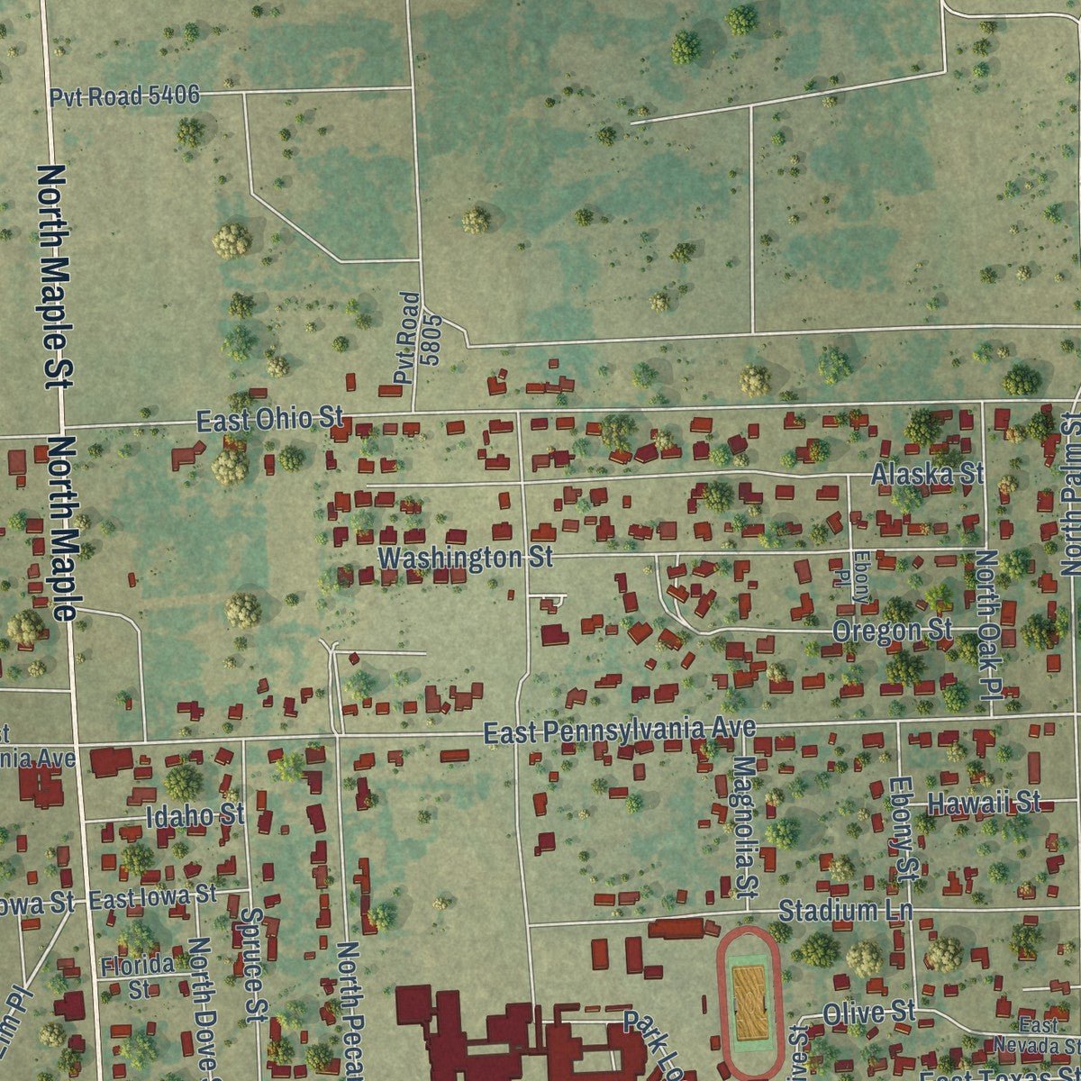
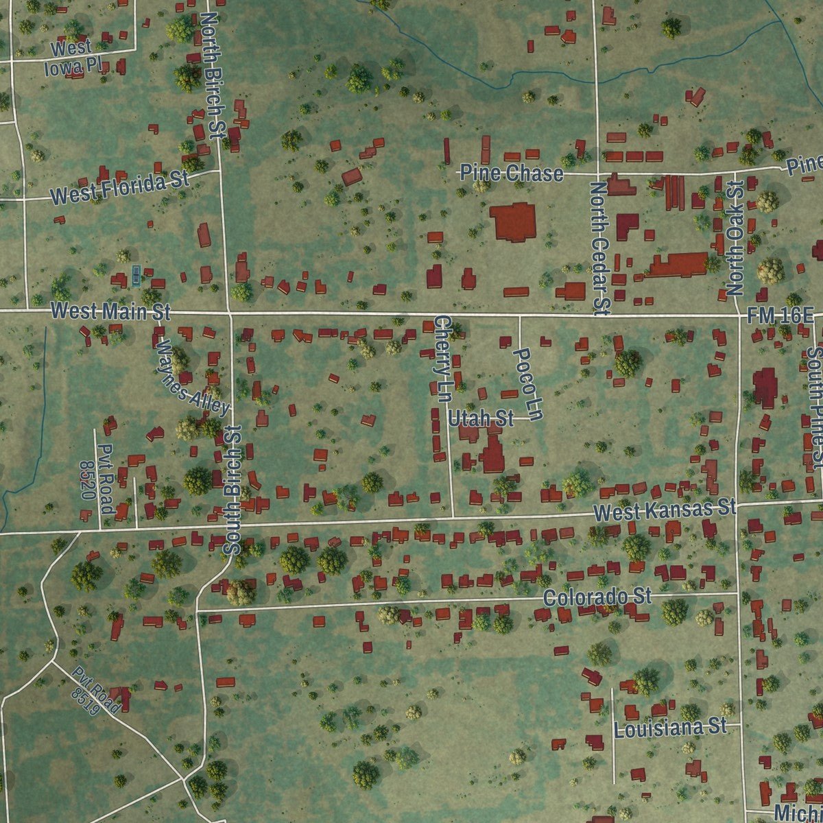
Free U.S. delivery 7 to 10 days after you order
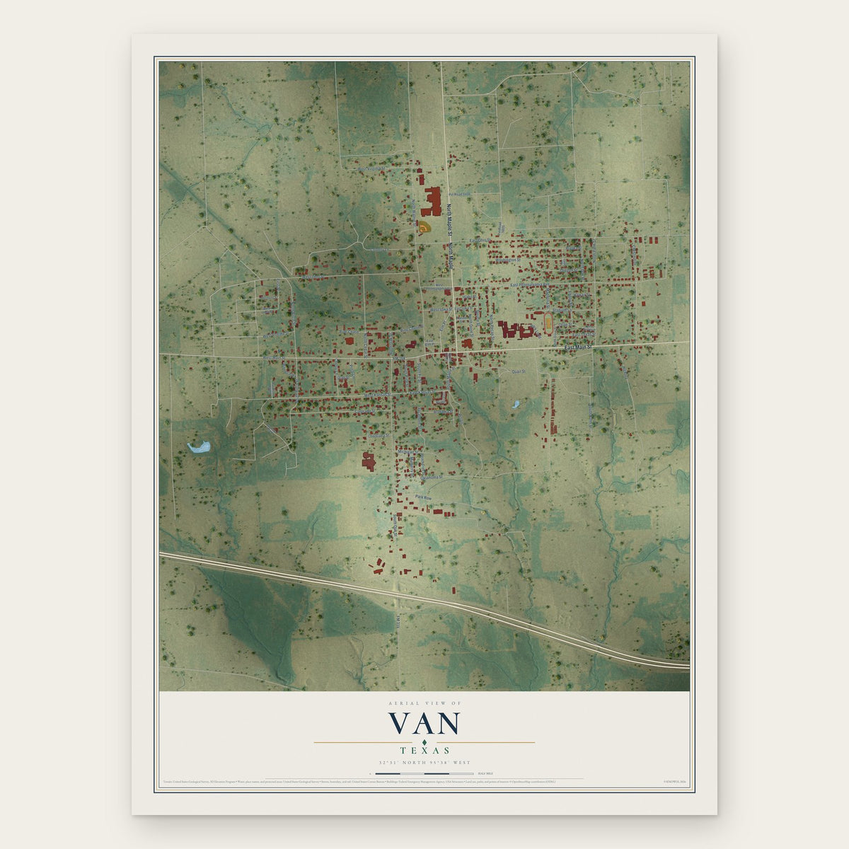
Van, Texas Map Art
Building by building, with labeled streets and shaded relief.
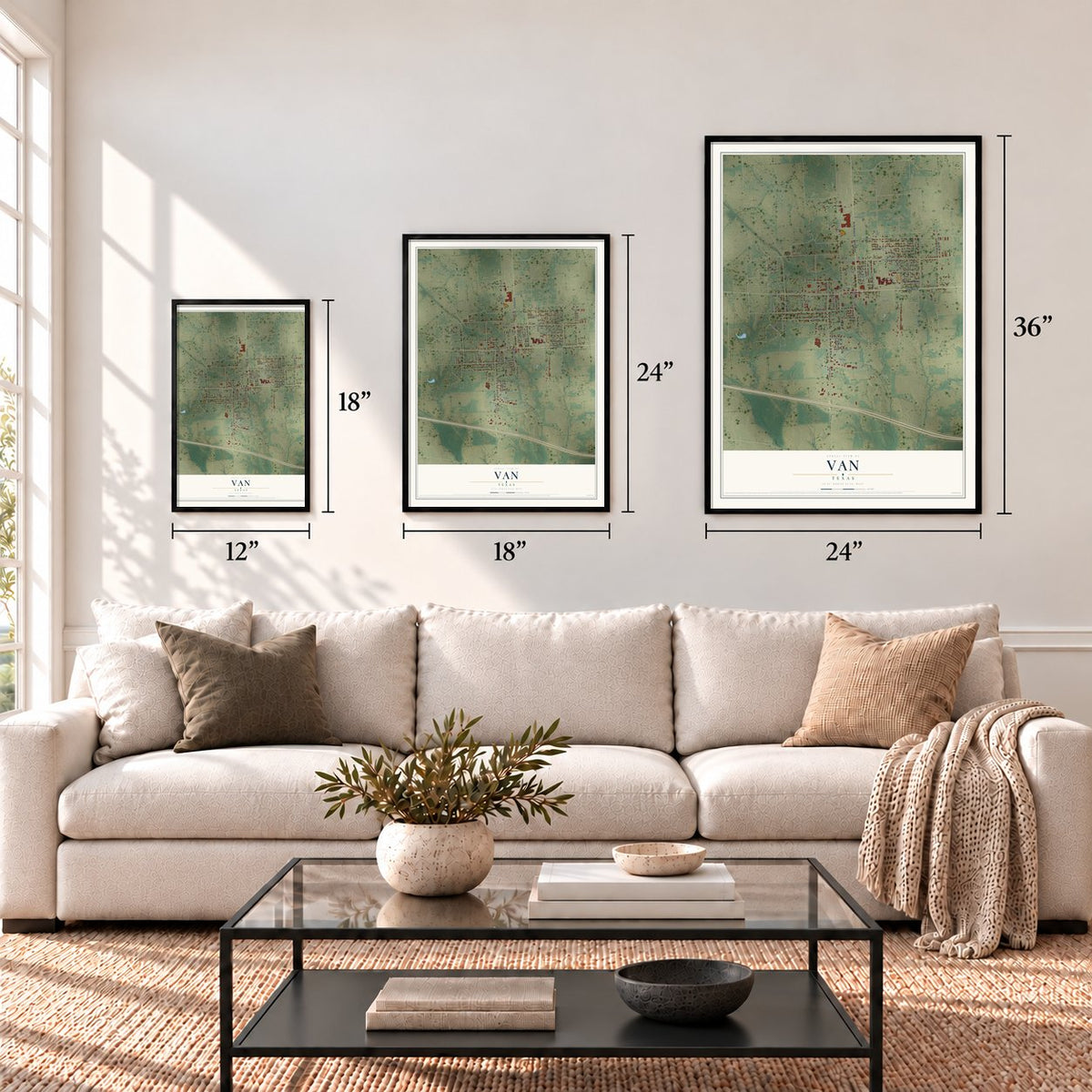
12" x 18" Archival Matte Print
A Map of Home. A Work of Art.
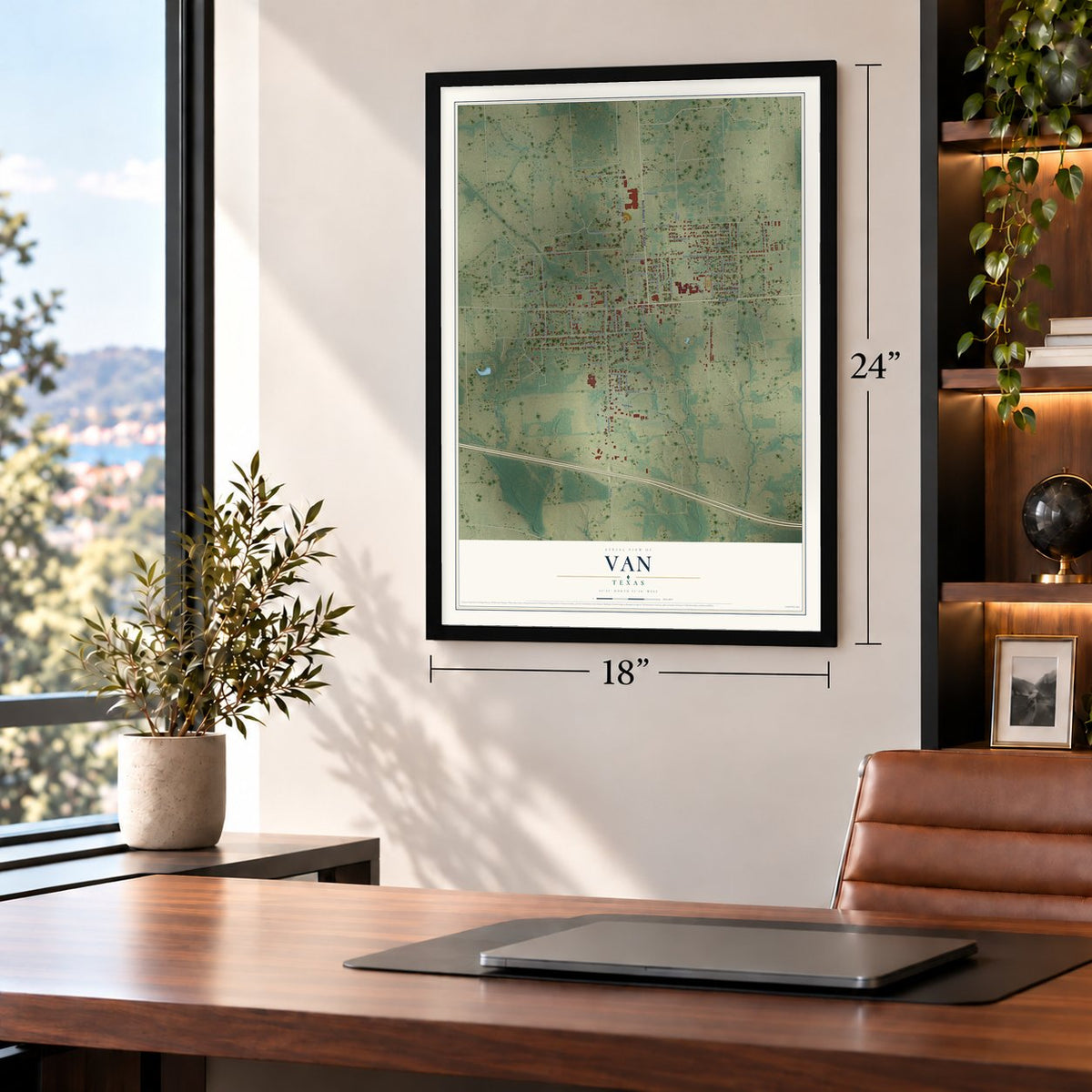
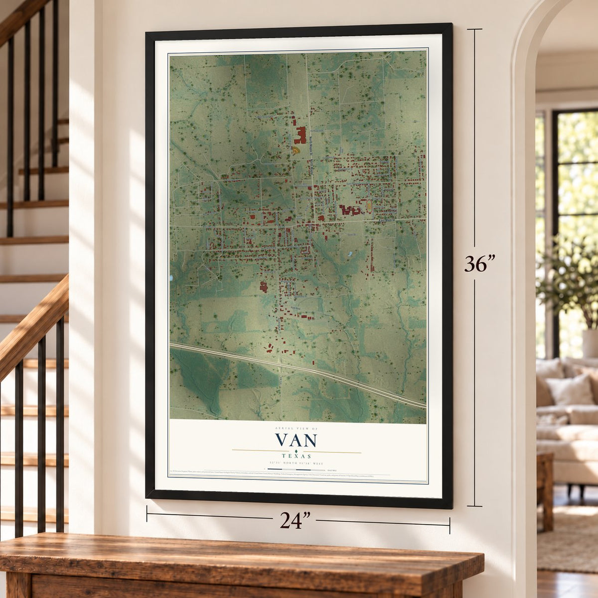
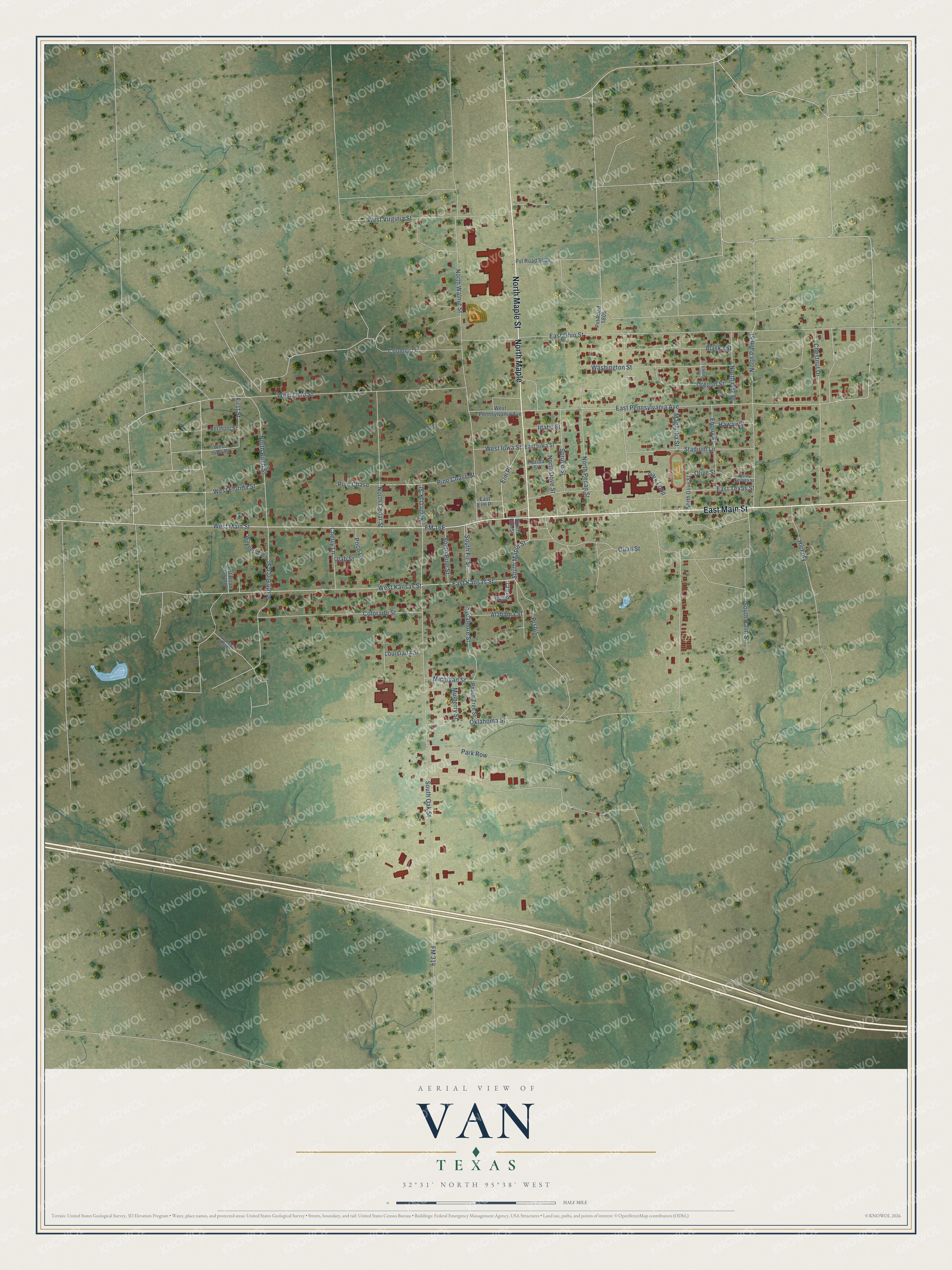
Explore Van, Texas from a whole new perspective. Created using aerial imagery and detailed geographic data, this map captures Van building by building, with labeled streets, familiar landmarks, and shaded topographical relief that highlights the natural contours of the landscape.
Combining modern data with the timeless character of a vintage atlas, this map is just as interesting up close as it is beautiful on the wall. Whether you grew up in Van, spent memorable years there, or call it home today, this unique map is a great way to celebrate a place that means something to you. Zoom in on the preview to look for your street, and then order a print to put your memories on the wall.
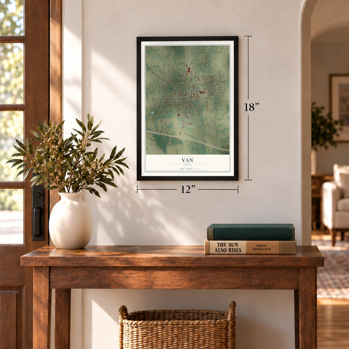
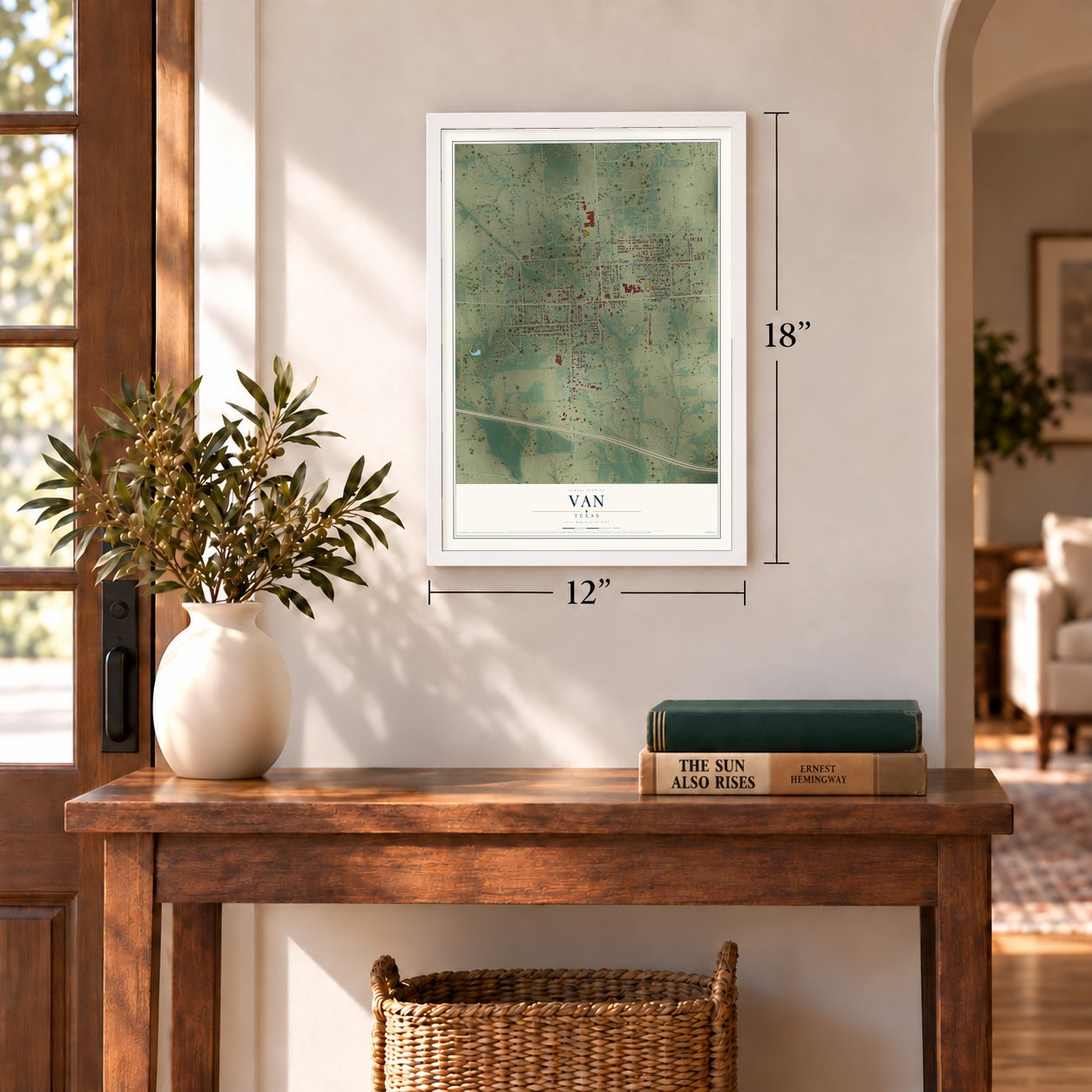
Three ways to hang it
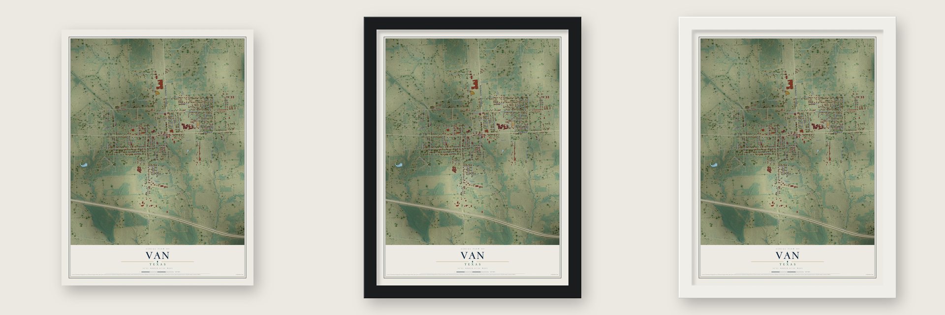
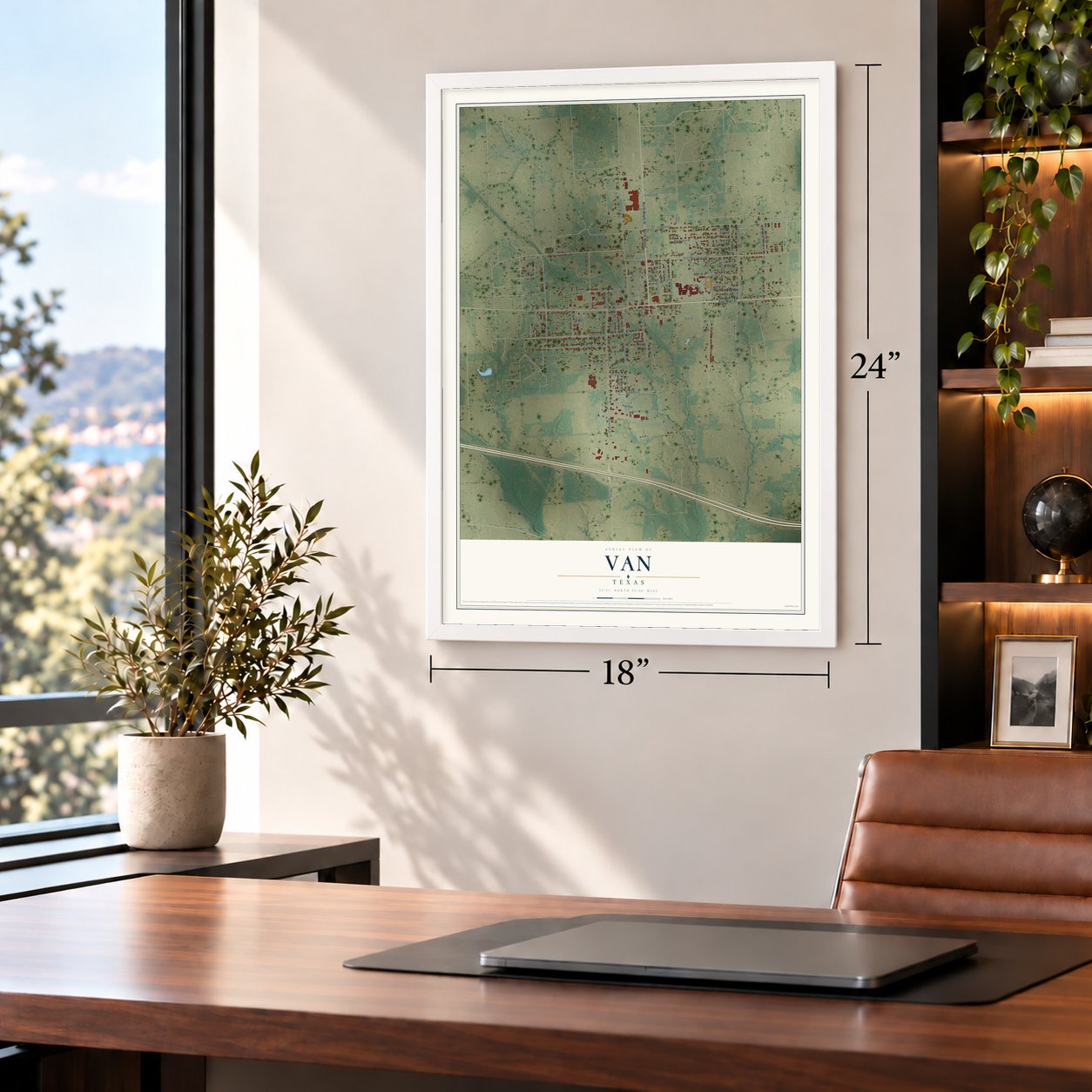
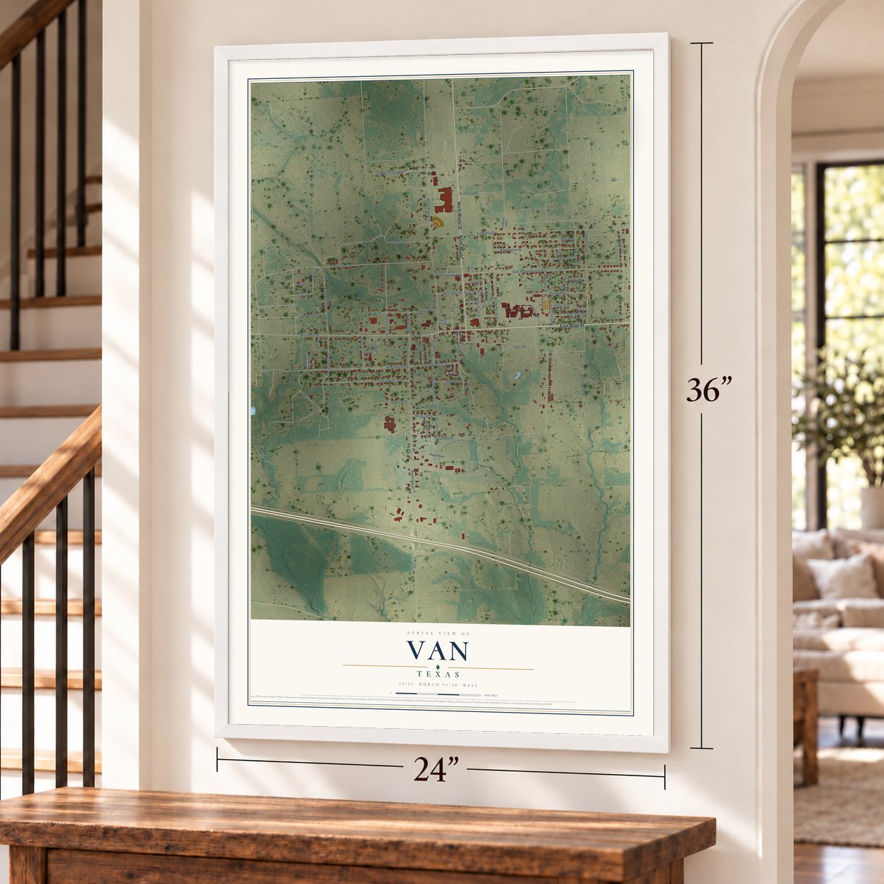
Unframed archival matte, a black wood frame or a white wood frame.
Up close
Geography Worth Displaying
This map was created using accurate cartographic data and authoritative geographic sources, including the U.S. Geological Survey and the Census Bureau. The map brings together terrain, waterways, roads, and building detail. The majority of the streets are labeled, houses are accurately depicted, and the topography is derived from government sources. Combining local data with carefully composed color and shading leads to this beautifully detailed Van artwork for your wall.
Rather than simply showing street outlines, we’ve included as many of the street names as we could reasonably fit on the map while keeping their names legible. Zoom in on the high resolution preview to see exactly what’s on the map. We truly set out to create a statement piece for anyone who loves Van. So whether it’s for you, or a gift for someone you love, we hope this map of Van brings back fond memories.
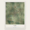
Find your street
Names on the Van map
Every name below is printed on this map. Look for your street, your school, the park where you played, or the pond down the road.
Streets and roads76
- North Maple
- East Main Street
- North Maple Street
- West Main Street
- Elm Place
- South Maple Street
- East Kansas Street
- West Kansas Street
- East Pennsylvania Avenue
- South Fir Street
- South Birch Street
- Olive Street
- South Oak Street
- East Ohio Street
- North Walnut Street
- West Ohio Street
- Oklahoma Street
- East Texas Street
- Quail Street
- North Palm Street
- Chestnut Drive
- North Birch Street
- West Virginia Street
- Colorado Street
- Park Row
- Prsois
- South Palm Street
- Alaska Street
- Washington Street
- Hickory
Show all 76 streets
- North Cedar Street
- North Pecan Street
- Stadium Lane
- Pine Chase Street
- Country Lane
- Alabama Street
- Ebony Street
- Spruce Street
- Sycamore Street
- Michigan Street
- North Oak Place
- Oregon Street
- Cherry Lane
- South Pine Street
- West Florida Street
- FM 314
- North Dove Street
- West Iowa Street
- North Oak Street
- Mulberry Street
- Pine Chase
- Magnolia Street
- Hawaii Street
- Louisiana Street
- Idaho Street
- Poco Lane
- Park Loop
- First Street
- Utah Street
- South Elm Street
- West Iowa Place
- West Pennsylvania Avenue
- Waynes Alley
- Peach Tree Street
- Pvt Road 8520
- North Olive Street
- Pvt Road 5406
- East Iowa Street
- Bluebird Court
- Vermont Street
- Pvt Road 5805
- East Elm Place
- Florida Street
- East Nevada Street
- Ebony Place
- Pvt Road 8519
Names are listed as they appear on the printed map. Zoom into the product photos to find them.
About Van, Texas
Van is a city of 2,664 people in Van Zandt County, fourteen miles east of Canton. Settlers had reached the area by the Civil War, and by 1874, some sources say, the place was called Ratty Towns, or Who'd-a-Thought-It, after a resident named Ratty Towns tried to start a store. It next took the name Swindall from George Swindall, who gave land for a school and, in 1891, a lot for the Methodist Church. In 1894 the teacher Henry Vance opened a post office, and the post office named the town Van, after Vance and a resident, Vannie Tunnell.
Farming was the way of life until 1927, when Pure Oil surveyed the land nearby. The survey paid off on October 13, 1929, when oil came in on W. T. Jarman's property, and the quiet farm town, which had a general store, a school and a post office, suddenly filled with newcomers. Within ten days thirty buildings, hotels and stores among them, had gone up. That November five companies, Humble, Pure Oil, Shell Petroleum, Sun Oil and the Texas Company, became joint owners of the field, with Pure Oil running it, and in 1930 the Texas Short Line Railway reached Van from Grand Saline.
- The Jarman No. 1 wellP. B. Garland brought in the discovery well, the Jarman No. 1, on the land Pure Oil had surveyed. It flowed 147 barrels from the Woodbine Formation, 2,710 feet down. When Pure Oil became part of Union Oil in 1965, the Van field held 591 wells, and by 1994 it had produced 502 million barrels of oil.
- Van during World War IIVan held at 894 people through the 1930s, then fell to 620 during World War II as workers left town for war industry jobs. The number of businesses, which peaked at fifty in 1934, dropped to fifteen by 1945.
- A refinery and new schoolsThe oilfield was mechanized in the 1940s. By the 1950s Humble Oil ran a refinery in Van, the town counted five churches, and its schools had joined a consolidated district. A government housing project came in 1974, when Van had 1,820 people, and the population reached 2,362 by 2000.
- An EF3 tornado in 2015Shortly after sunset on May 10, 2015, a tornado touched down near Primrose, 10 miles south of Van, and tracked straight north, gaining strength over the Neches River and crossing Interstate 20. It tore through the heart of town, destroying the elementary school, a historic landmark, and wrecking homes before it died out 3.5 miles north. Two people were killed and 47 injured. The next day the National Weather Service office in Fort Worth rated it EF3.
Keep exploring Texas
Van is one of 2,049 Texas towns we've mapped. Every dot on the map is a print of its own.
The search covers every state, Texas first.
Near Van
Order 2 or more town maps and save 10%. Shown in the size and finish you picked above, so they hang as a set.
- Ben Wheeler 12" x 18" / Archival Matte Print $39.99
- Edom 12" x 18" / Archival Matte Print $39.99
- Hideaway 12" x 18" / Archival Matte Print $39.99
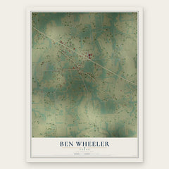
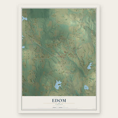
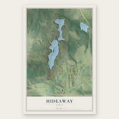
More maps nearby: Grand Saline, Callender Lake, Mineola, Martins Mill and Canton.
The art of mapping a place
How This Map Was Made
Real places. Remarkable detail. Discover the layers that turn geographic data into a map of home.

The view from above
Aerial imagery reveals the character of the land: woodland, open fields, and the patterns of a place.

The shape of the land
Elevation data brings hills, valleys, and subtle changes in the landscape into view.

The details of home
Roads, waterways, and building footprints come together to make the map feel unmistakably local.

Geography becomes art
Considered color, shading, and typography bring the layers together in a map made for your wall.


Process illustrated with Mendon, Massachusetts. Aerial imagery: USDA NAIP. Terrain: USGS 3D Elevation Program. Map details and finished artwork: KNOWOL.
The Details
About This Print
Choose an archival matte print, or a black or white Ayous wood frame. The archival matte print is unframed.
Select your size and finish above to see the matching product image and price.
Materials & Craftsmanship
A contemporary map with the character of a classic atlas, printed on archival matte paper. Optional frames are made from Ayous wood.
Your printed map does not include the watermark shown in the full-map preview.
Shipping & Delivery
Free shipping within the United States. Every print is made to order in the USA.
Buying a gift? Add a note in your cart and we'll include it. We never put prices in the package.
Prints ship within 2 to 3 business days. Allow 7 to 10 days total from ordering for delivery. Timing may vary during holidays or periods of high order volume.
Read our shipping policy.
Returns and damaged prints
Each print is made to order. Change-of-mind refunds are not available after production.
If your print arrives damaged, misprinted or incorrect, contact support@knowol.com within 30 days of receiving it. Include your order number, photos and a description of the issue.
Read our full refund and replacement policy. For questions about your order, email support@knowol.com.