
Search for another town





Free U.S. delivery 7 to 10 days after you order
Victorville, California Map Art
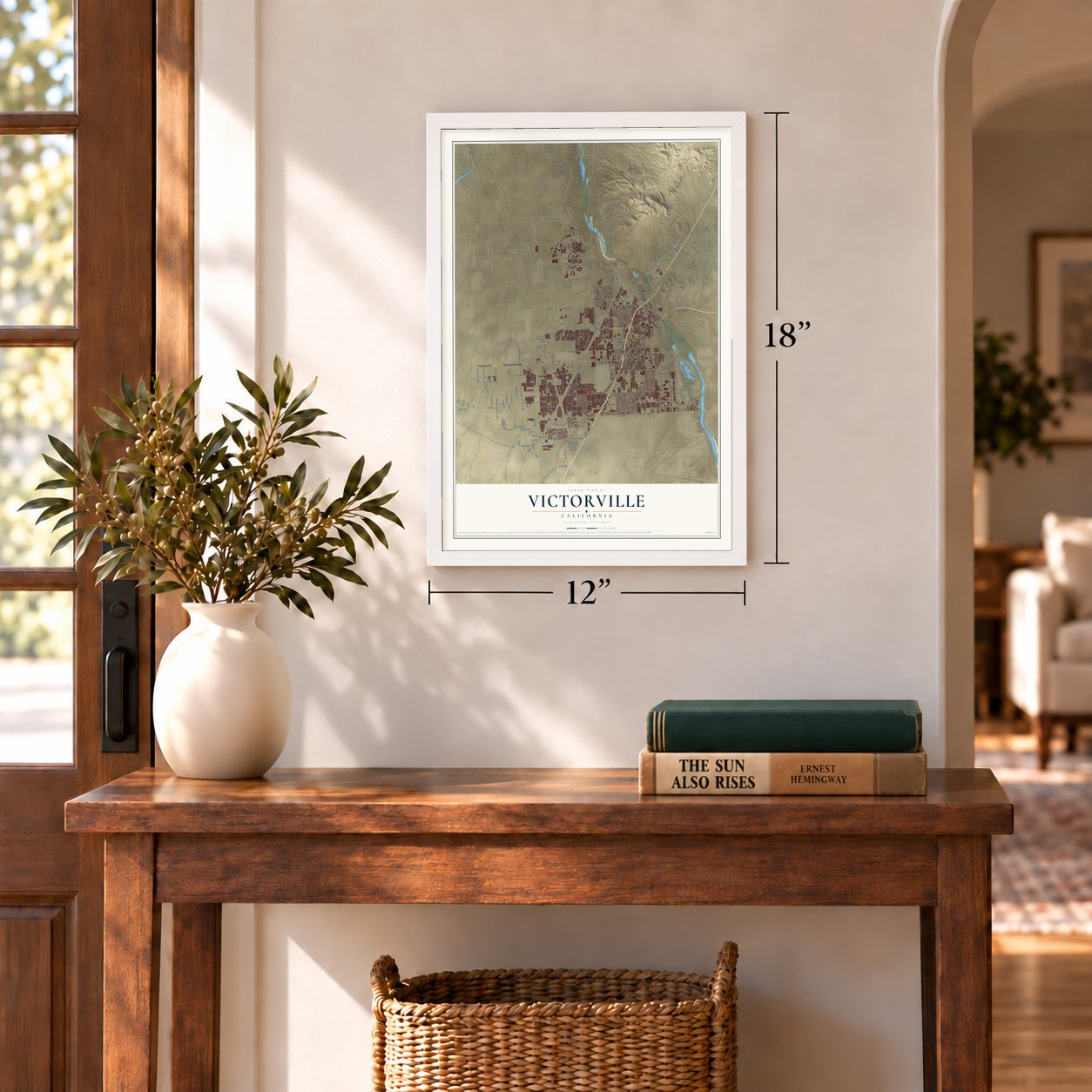
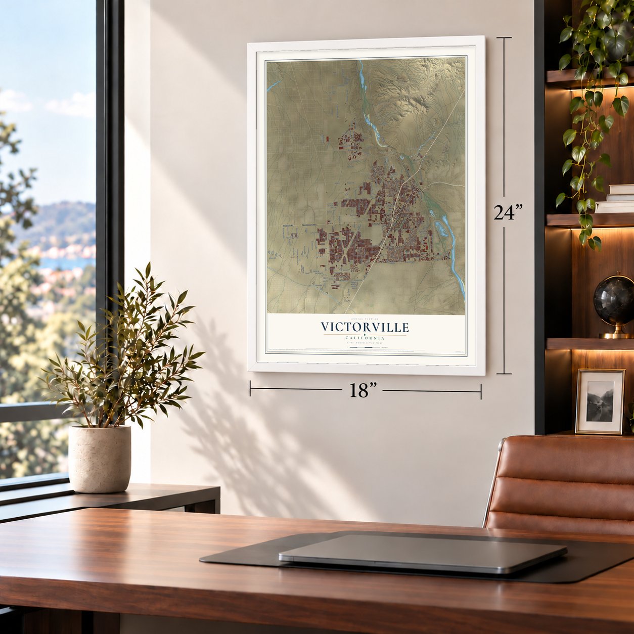
A new map of Victorville, California, made in 2026 and printed to order on thick archival matte paper.
12" x 18" Archival Matte Print
A Map of Home. A Work of Art.
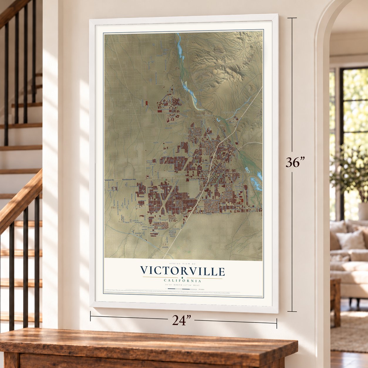
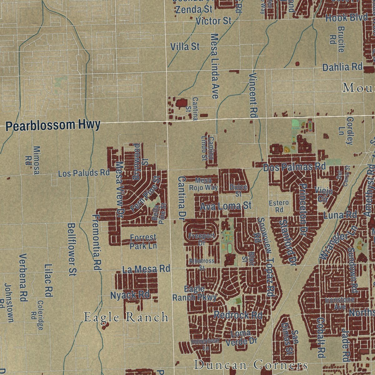
Explore Victorville, California from a whole new perspective. Created using aerial imagery and detailed geographic data, this map captures Victorville building by building, with labeled streets, familiar landmarks, and shaded topographical relief that highlights the natural contours of the landscape.
Combining modern data with the timeless character of a vintage atlas, this map is just as interesting up close as it is beautiful on the wall. Whether you grew up in Victorville, spent memorable years there, or call it home today, this unique map is a great way to celebrate a place that means something to you. Zoom in on the preview to look for your street, and then order a print to put your memories on the wall.
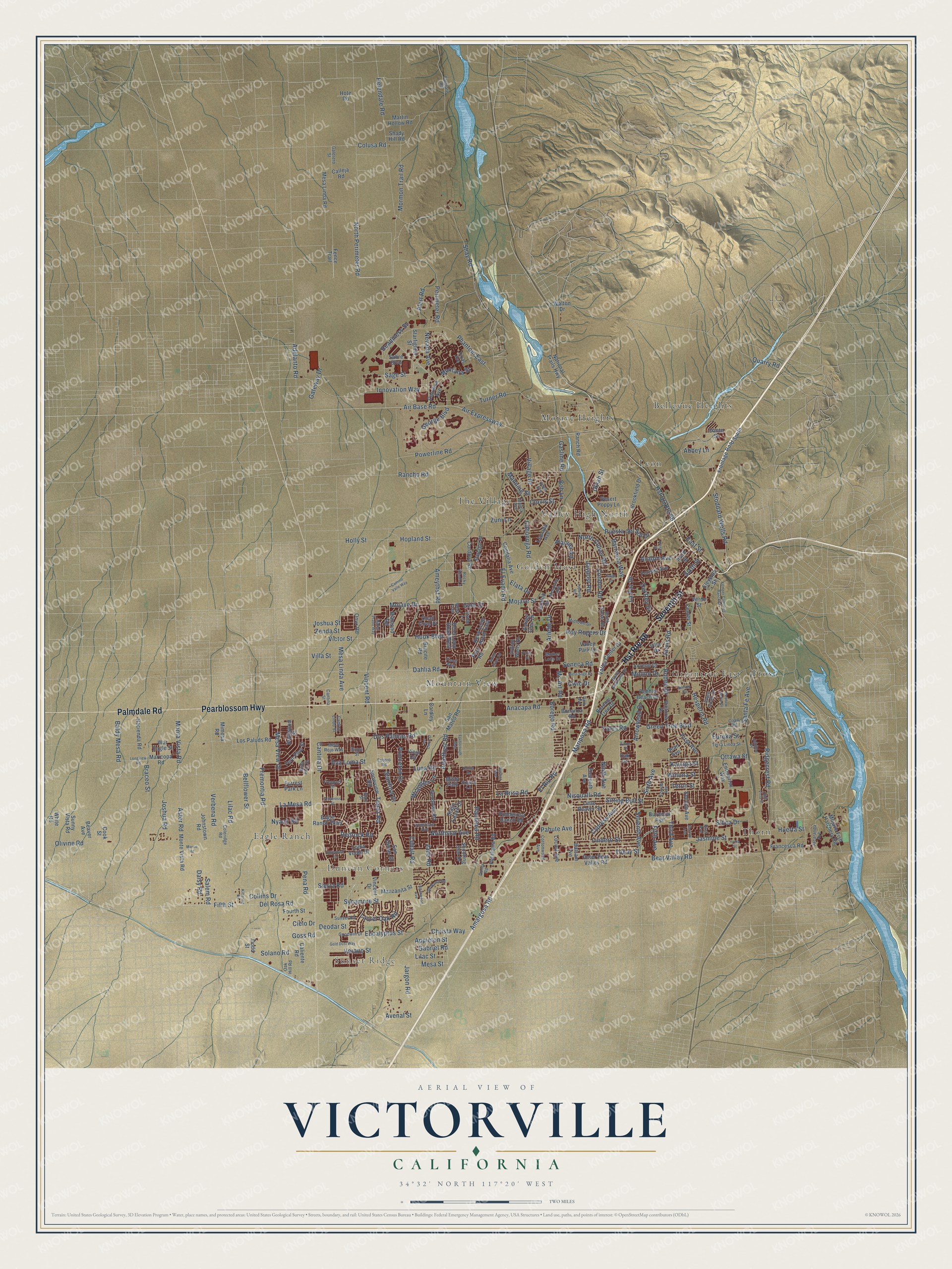
Three ways to hang it
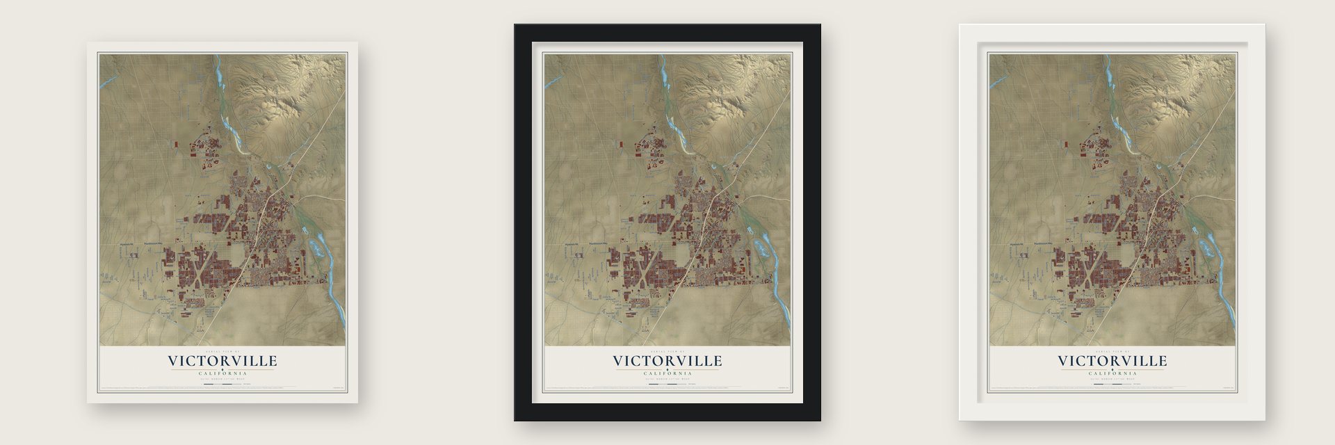
Unframed archival matte, a black wood frame or a white wood frame.
Up close
Geography Worth Displaying
This map was created using accurate cartographic data and authoritative geographic sources, including the U.S. Geological Survey and the Census Bureau. The map brings together terrain, waterways, roads, and building detail. The majority of the streets are labeled, houses are accurately depicted, and the topography is derived from government sources. Combining local data with carefully composed color and shading leads to this beautifully detailed Victorville artwork for your wall.
Rather than simply showing street outlines, we’ve included as many of the street names as we could reasonably fit on the map while keeping their names legible. Zoom in on the high resolution preview to see exactly what’s on the map. We truly set out to create a statement piece for anyone who loves Victorville. So whether it’s for you, or a gift for someone you love, we hope this map of Victorville brings back fond memories.
Read the story behind this map of Victorville, California from 2026.

About Victorville, California
Victorville is a city of 134,810 people in San Bernardino County, on the Mojave River at the southwestern edge of the Mojave Desert. The Serrano people lived here first. In 1858 Aaron G. Lane, a veteran of the war with Mexico who had come west for the gold rush, set up a waystation on the river called Lane's Crossing. Travelers heading across the desert toward San Bernardino stopped there for shelter and supplies, and Lane later sold it to John Fry Miller of Texas, who renamed it Pioneer Station.
In 1867 Lafayette Meacham cut a shortcut wagon road across the desert that forded the river at today's Sixth Street, and the spot became known as Mormon Crossing. The town itself began in 1885, when a telegraph station opened at a railroad siding named for Jacob Nash Victor, general manager of the California Southern Railroad. Mail kept getting mixed up with Victor, Colorado, so in 1901 the Post Office Department took postmistress Abbey Turner's advice and renamed the town Victorville. It was incorporated as a city on September 21, 1962.
- Citizen Kane, written in 1940Herman J. Mankiewicz and John Houseman spent 12 weeks at the North Verde Ranch in 1940, working on the first two drafts of the Citizen Kane screenplay. The quiet, isolated ranch kept Mankiewicz, who struggled with drinking, away from temptation until he finished. It is now the Kemper Campbell Ranch.
- Route 66 through Old TownU.S. Route 66 began in 1926, laid out in many places on roads that already existed. In Victorville it runs along D and Seventh streets, the main street of Old Town, and then follows a stretch of Interstate 15 toward the Cajon Pass.
- An air base from 1941Work on the Victorville Army Airfield started in 1941. The field became George Air Force Base, and it served until it closed in 1992. Part of its land is now the Southern California Logistics Airport, and a federal penitentiary stands on another part.
- Robot cars in 2007The DARPA Urban Challenge came to Victorville on November 3, 2007. For six hours, driverless robot cars competed on roads inside the Southern California Logistics Airport. A team from Carnegie Mellon University took home the $2 million first prize.
Find your street
Names on the Victorville map
Every name below is printed on this map. Look for your street, your school, the park where you played, or the pond down the road.
Places and landmarks13
- Sunset Ridge
- Duncan Corners
- Bellevue Heights
- Eagle Ranch
- Frost
- Golden Mesa
- Greentree East
- Leon
- Mojave Heights
- Mountain View
- The Village
- Thorn
Show all 13 places
- Valley High North
Streets and roads304
- Hst Route 66
- Palmdale Road
- Pearblossom Highway
- Seventh Street
- Topaz Road
- Seneca Road
- Verano Street
- Appleton Street
- Gabriel Road
- Sycamore Street
- Del Rosa Road
- Fifth Street
- Air Base Road
- Stoddard Wells Road
- North Perimeter Road
- Daisy Road
- Sage Street
- Goss Road
- Vincent Road
- Air Expressway
- Eucalyptus Street
- Perimeter Road
- Gale Drive
- Bear Valley Road
- Amargosa Road
- La Mesa Road
- Mojave Drive
- Cobalt Road
- Amethyst Road
- Luna Road
Show all 304 streets
- El Evado Road
- Dos Palmas Road
- Hesperia Road
- Village Drive
- Sierra Road
- Rancho Road
- Hook Boulevard
- Hst US Route 66
- Mesa View Drive
- Olivine Road
- Bellflower Street
- Powerline Road
- Aster Road
- Mesa Linda Avenue
- Nisqualli Road
- Mariposa Road
- Verbena Road
- Helendale Road
- George Boulevard
- Mojave Street
- Shay Road
- La Paz Drive
- Winona Street
- Jasmine Street
- Ridgecrest Road
- Pacoima Road
- Hopland Street
- Turner Road
- Cypress Avenue
- Ottawa Street
- First Avenue
- Nyack Road
- Santa Fe Avenue
- Innovation Way
- Baldy Mesa Road
- Braceo Street
- Cantina Drive
- Third Avenue
- Northstar Avenue
- Green Tree Boulevard
- Mesa Street
- East Street
- Arrowhead Drive
- Lindero Street
- Silica Drive
- Tokay Street
- Adelanto Road
- Ninth Avenue
- Jarvis Road
- Rodeo Drive
- Sitting Bull Street
- Joshua Road
- Fremontia Road
- Monta Vista Road
- Phantom East
- Victor Street
- Condor Road
- Seventh Avenue
- Clovis Street
- Borego Road
- Pahute Avenue
- Joshua Street
- Jade Road
- Anacapa Road
- Sixth Avenue
- Mormon Trail Road
- La Brisa Road
- Civic Drive
- Nevada Avenue
- El Rio Road
- Arlette Drive
- Dahlia Road
- Christa Way
- Colusa Road
- Princeton Drive
- Pena Road
- Ameythst Road
- Lilac Road
- Gateway Drive
- Holly Street
- Puesta del Sol Drive
- Yates Road
- Huerta Street
- Zenda Street
- Sixth Street
- Alert Road
- North Culver Road
- Fifth Avenue
- Laurel Oak Road
- Montana Street
- Barranca Way
- Teton Street
- Del Rey Drive
- Villa Street
- Solano Road
- Molino Drive
- Readiness Street
- Quarry Road
- Cahuenga Road
- Avenal Street
- Jargon Road
- Wrangler Lane
- Avalon Avenue
- Roy Rogers Drive
- Manning Street
- Redrock Road
- Deodar Street
- Jaypost Road
- Ava Loma Street
- Placida Road
- Gasline Road
- Kayuga Street
- Stanford Drive
- Eureka Street
- Cielo Drive
- Mc Art Road
- Lilac Street
- Ukiah Street
- Collins Drive
- Salem Road
- Elata Drive
- Zuni Lane
- Boh Lane
- Abbey Lane
- Ranch Road
- Manzanita Street
- Reno Loop Road West
- Starfighter Street
- Reno Loop Road East
- National Trails Highway
- Petaluma Road
- Bonanza Road
- Second Avenue
- Eleventh Avenue
- Monte Vista Road
- Burning Tree Drive
- Lorene Drive
- Little Beaver Street
- Maricopa Road
- Eagle Ranch Parkway
- Balsam Avenue
- Forrest Avenue
- Fern Pine Street
- Brucite Road
- Locust Avenue
- Johnstown Road
- Brookfield Drive
- Outer Bear Valley Road
- Fourth Street
- Valley Center Drive
- Diamond Road
- Frontage Road South
- Llanada Avenue
- Vincent Drive
- Caliente Road
- Sunny Vista Road
- Third Street
- Mesa Linda Road
- Center Street
- Ponderosa Ranch Road
- Francesca Road
- Burwood Avenue
- Beaver Avenue
- Dean Avenue
- Los Paluds Road
- Mojave Fish Hatchery Road
- Sundown Road
- Hacienda Road
- San Mateo Road
- Martin Hollow Road
- Snowview Road
- Pebble Beach Drive
- Victoria Drive
- Condalia Avenue
- Sabre Boulevard
- Brynwood Street
- Ashley Glen Drive
- Enterprise Way
- Eleventh Street
- Papago Place
- Mimosa Road
- Shooting Star Drive
- Cordova Road
- Stage Coach Drive
- Forrest Park Lane
- Desert Poppy Lane
- Calleja Road
- San Dimas Street
- Jeraldo Drive
- Villa Drive
- Verde Street
- War Eagle Street
- Carolina Avenue
- Onyx Road
- Fence Trail
- Indian Wells Drive
- Quail Cove Place
- Loma Verde Drive
- Walton Drive
- Cordley Lane
- Dante Street
- Valley Park Lane
- Shady Hill Road
- Hote Road
- Dodd Street
- White Road
- Polo Road
- Viejo Circle
- Oak Court
- Misty Path
- Cook Street
- Rogers Lane
- Goodwin Drive
- Camino Lindo Street
- Coad Road
- Jacaranda Avenue
- Park Avenue
- Apple Creek Drive
- Coleridge Road
- Odell Avenue
- Fourth Avenue
- Majela Avenue
- Sunset Road
- Terra Linda Street
- Cottonwood Avenue
- Midtown Drive
- Ironstone Avenue
- Saint Andrews Drive
- Mesquite Avenue
- Galerero Street
- South Culver Road
- Bella Pine Street
- Texas Avenue
- Mesa Rojo Way
- Dunia Road
- Oak Hill Road
- Freeport Drive
- Mother Lode Drive
- Stable Lane
- Floreate Road
- Jubilee Place
- Rocky Knoll Lane
- Estero Road
- Cantina Street
- Finch Way
- Dulce Street
- Aurora Avenue
- West Trail
- Blair Street
- Topango Road
- Fresno Street
- Calgo Lane
- Kemper Campbell Ranch Street
- High Vista Street
- Birchwood Avenue
- Old Ranch Road
- Gold Dust Way
- West Sage Street
- Foxborough Way
- Batson Road
- Kittering Road
- Honeybear Lane
- Mateo Prado Way
- Green River Road
- Yuma Street
- Meadow Grove Drive
- Del Cerro Street
- Camino Valle Way
- Albatross Street
- Marco Road
- Longview Road
- Elkins Street
- Dahlia Drive
- Palm Street
Names are listed as they appear on the printed map. Zoom into the product photos to find them.
The art of mapping a place
How This Map Was Made
Real places. Remarkable detail. Discover the layers that turn geographic data into a map of home.

The view from above
Aerial imagery reveals the character of the land: woodland, open fields, and the patterns of a place.

The shape of the land
Elevation data brings hills, valleys, and subtle changes in the landscape into view.

The details of home
Roads, waterways, and building footprints come together to make the map feel unmistakably local.

Geography becomes art
Considered color, shading, and typography bring the layers together in a map made for your wall.


Process illustrated with Mendon, Massachusetts. Aerial imagery: USDA NAIP. Terrain: USGS 3D Elevation Program. Map details and finished artwork: KNOWOL.
The Details
About This Print
Choose an archival matte print, or a black or white Ayous wood frame. The archival matte print is unframed.
Select your size and finish above to see the matching product image and price.
Materials & Craftsmanship
A contemporary map with the character of a classic atlas, printed on archival matte paper. Optional frames are made from Ayous wood.
Your printed map does not include the watermark shown in the full-map preview.
Shipping & Delivery
Free shipping within the United States. Every print is made to order in the USA.
Buying a gift? Add a note in your cart and we'll include it. We never put prices in the package.
Prints ship within 2 to 3 business days. Allow 7 to 10 days total from ordering for delivery. Timing may vary during holidays or periods of high order volume.
Read our shipping policy.
Returns and damaged prints
Each print is made to order. Change-of-mind refunds are not available after production.
If your print arrives damaged, misprinted or incorrect, contact support@knowol.com within 30 days of receiving it. Include your order number, photos and a description of the issue.
Read our full refund and replacement policy. For questions about your order, email support@knowol.com.
Find your town
Looking for another city?
Find a map of home in our California collection, or any town in the country.
Nearby
Maps of towns near Victorville
Know someone from one of these towns? Their map makes a great gift.
 Mountain View Acres
, California
From $39.99See the map
 Spring Valley Lake
, California
From $39.99See the map
 Adelanto
, California
From $39.99See the map
More maps nearby: Apple Valley, Hesperia, Oak Hills, Phelan and Silver Lakes.