
Search for another town



Free U.S. delivery 7 to 10 days after you order
Hesperia, California Map Art
A new map of Hesperia, California, made in 2026 and printed to order on thick archival matte paper.
12" x 18" Archival Matte Print
A Map of Home. A Work of Art.
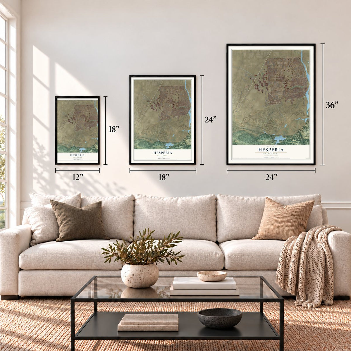
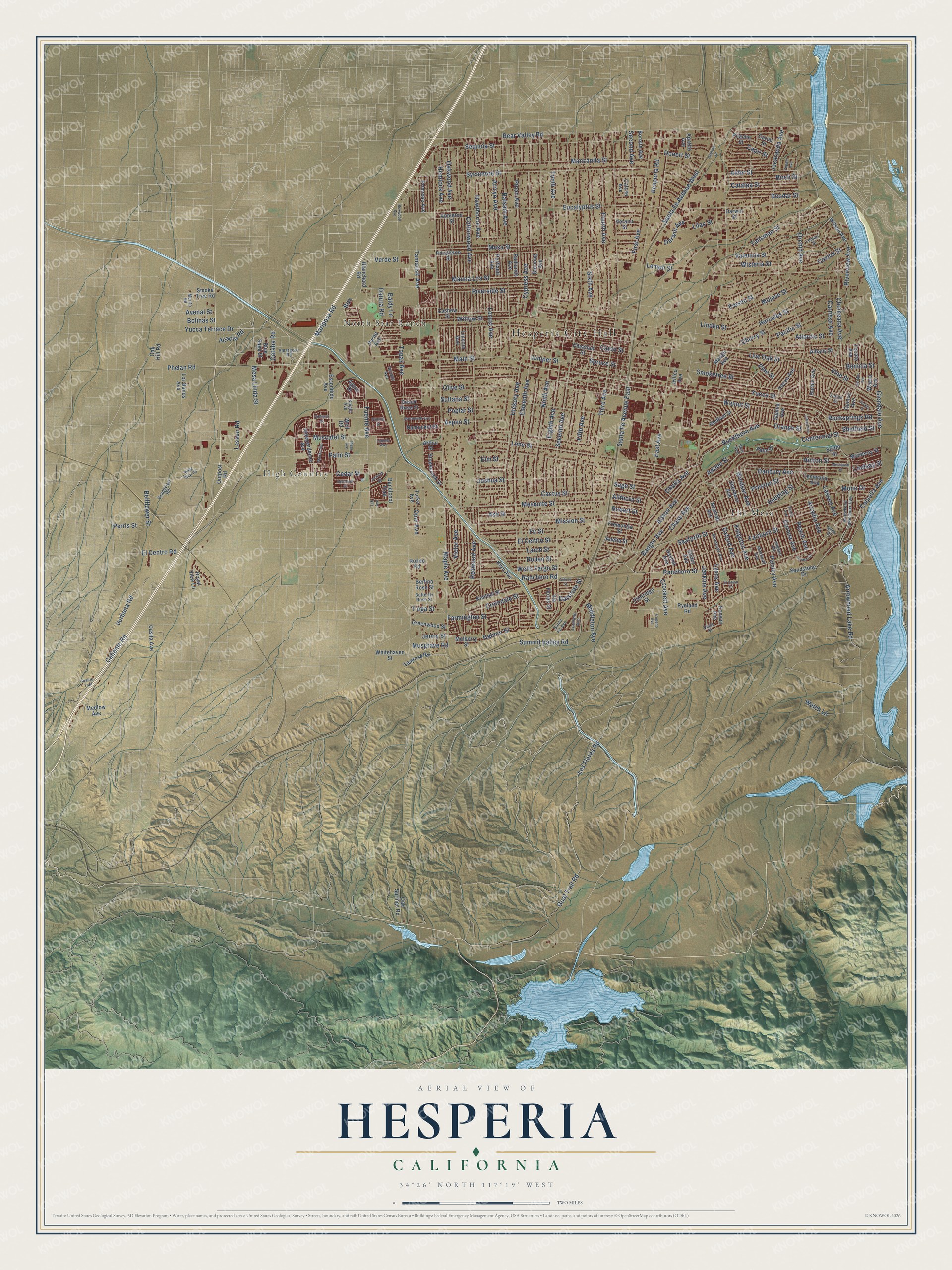
Explore Hesperia, California from a whole new perspective. Created using aerial imagery and detailed geographic data, this map captures Hesperia building by building, with labeled streets, familiar landmarks, and shaded topographical relief that highlights the natural contours of the landscape.
Combining modern data with the timeless character of a vintage atlas, this map is just as interesting up close as it is beautiful on the wall. Whether you grew up in Hesperia, spent memorable years there, or call it home today, this unique map is a great way to celebrate a place that means something to you. Zoom in on the preview to look for your street, and then order a print to put your memories on the wall.
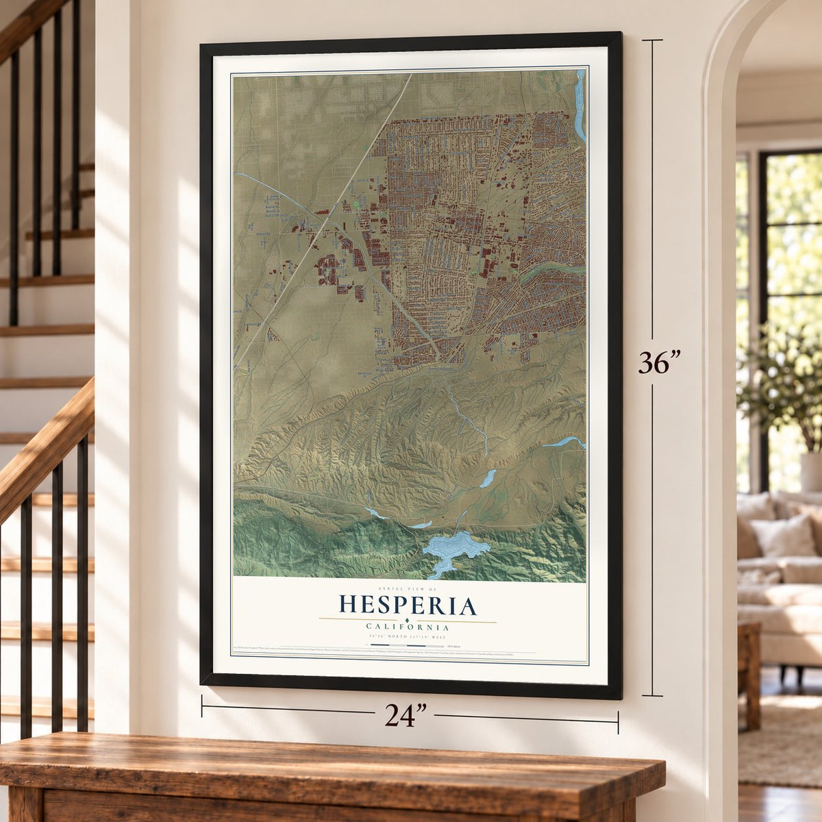
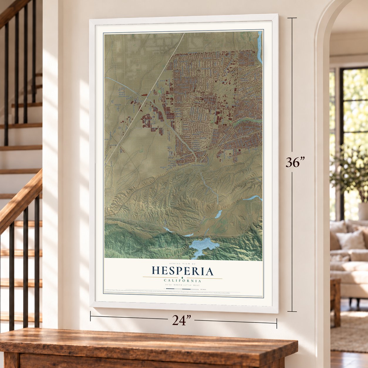
Three ways to hang it
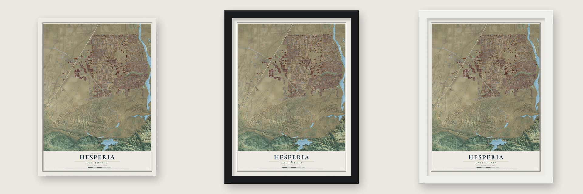
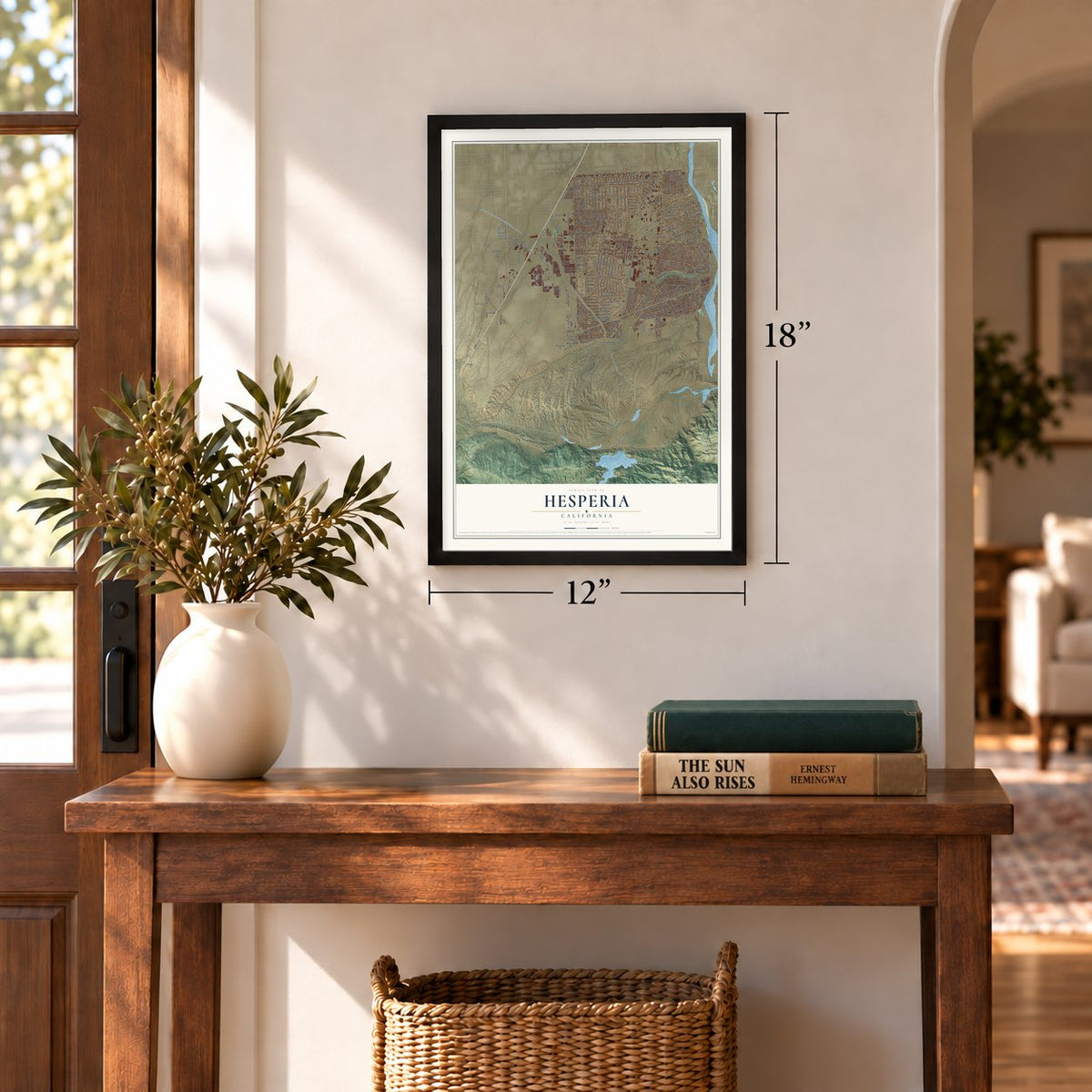
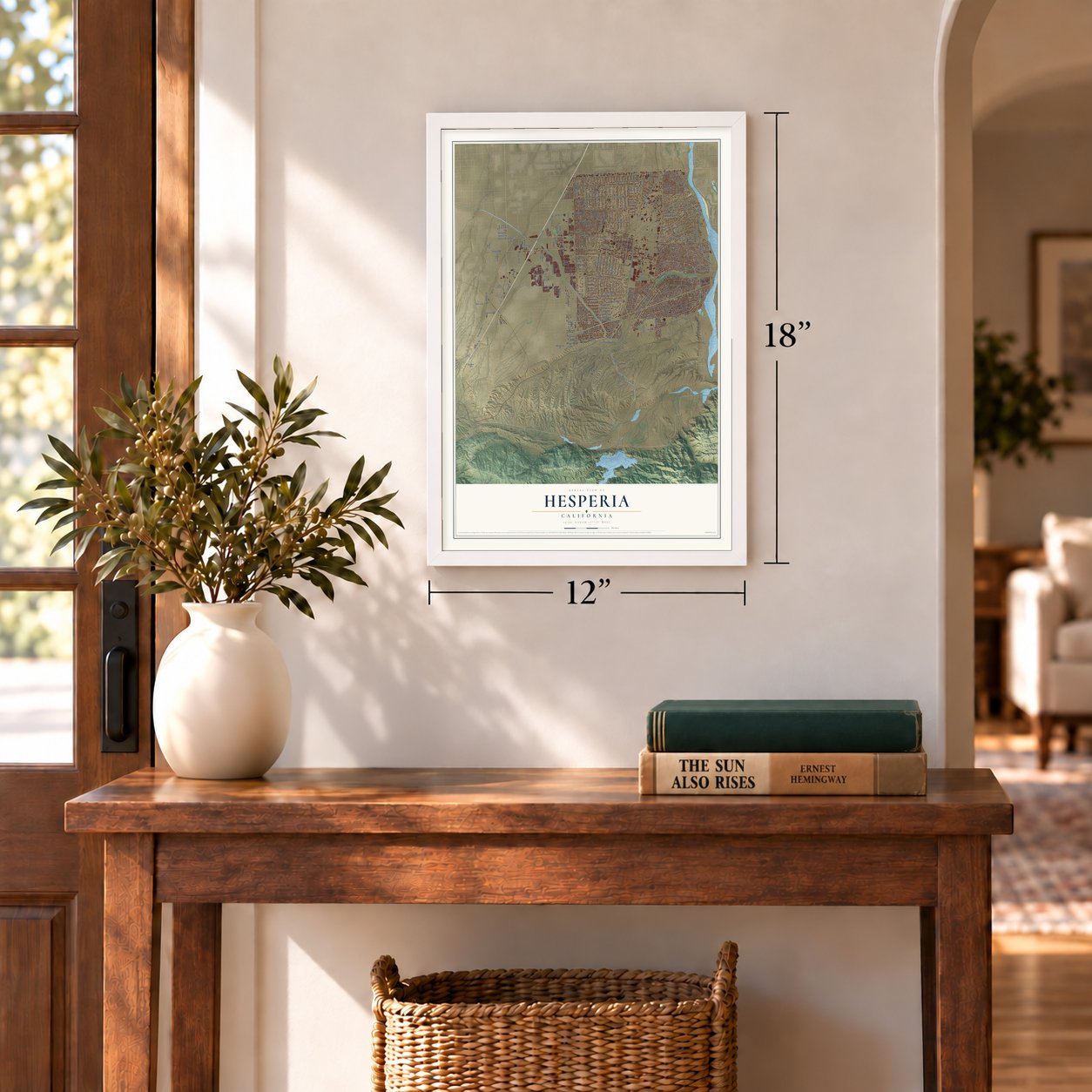
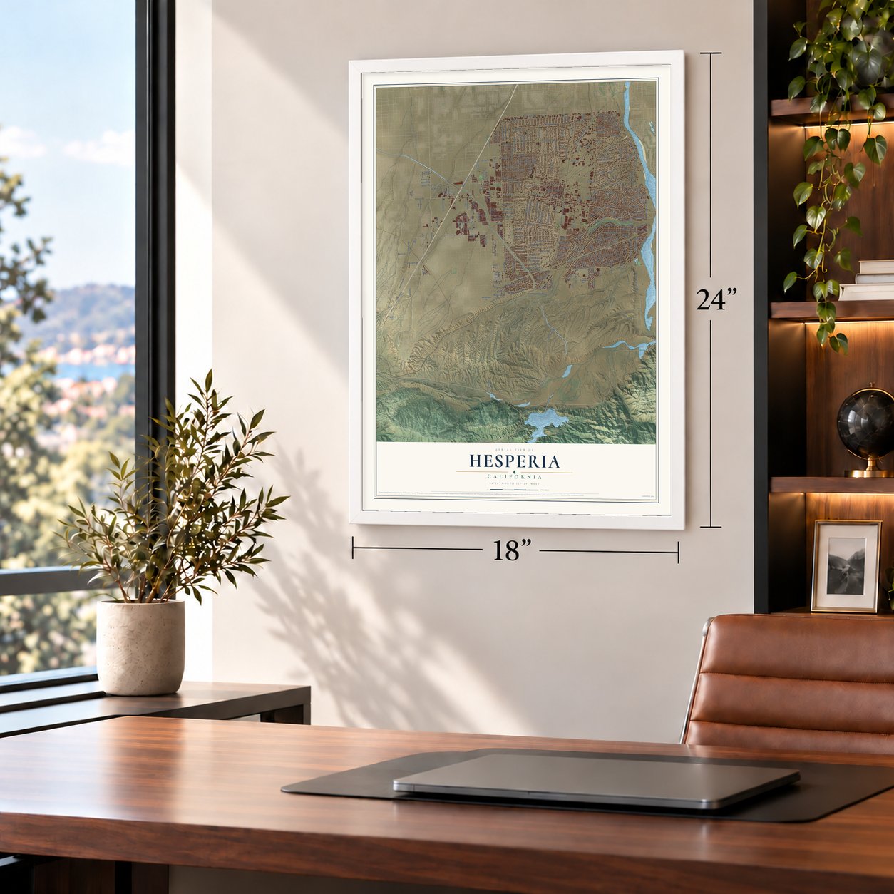
Unframed archival matte, a black wood frame or a white wood frame.
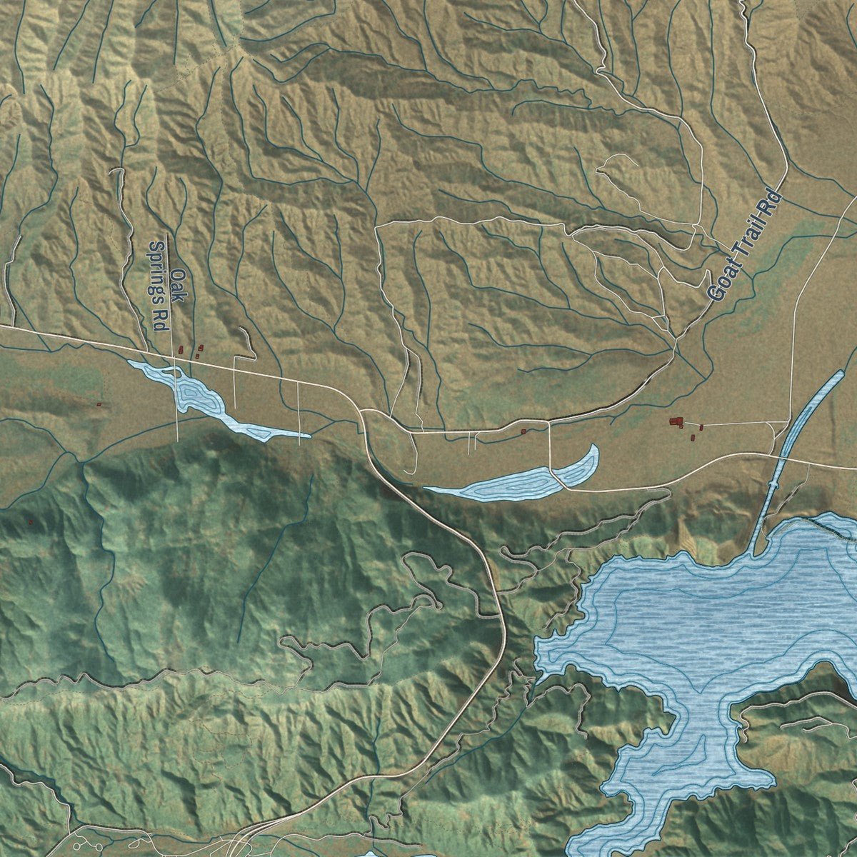
Up close
Geography Worth Displaying
This map was created using accurate cartographic data and authoritative geographic sources, including the U.S. Geological Survey and the Census Bureau. The map brings together terrain, waterways, roads, and building detail. The majority of the streets are labeled, houses are accurately depicted, and the topography is derived from government sources. Combining local data with carefully composed color and shading leads to this beautifully detailed Hesperia artwork for your wall.
Rather than simply showing street outlines, we’ve included as many of the street names as we could reasonably fit on the map while keeping their names legible. Zoom in on the high resolution preview to see exactly what’s on the map. We truly set out to create a statement piece for anyone who loves Hesperia. So whether it’s for you, or a gift for someone you love, we hope this map of Hesperia brings back fond memories.
Read the story behind this map of Hesperia, California from 2026.
About Hesperia, California
Hesperia is a city of 99,818 people in San Bernardino County, in the Mojave Desert just north of the Cajon Pass. Serrano people lived in villages along the Mojave River here into the early 1800s, and the land later fell inside a Spanish land grant founded in 1781. In 1869 Max Stobel bought 35,000 acres from the federal Land Office for $40,000. Efforts to bring in settlers fell short, so the ground was farmed instead, and raisin grapes became the main crop.
The Santa Fe Railroad finished its line through the area in 1891, and that year its land developers laid out a town site. They named it after Hesperus, the Greek god of the West. Their pamphlets went out across the country promising a future metropolis, "the Omaha of the West," that would hold more than 100,000 residents by 1900. Just 1,000 settlers actually arrived. Growth stayed slow until new federal highways arrived in the 1940s, and Interstate 15 followed in the late 1960s.
- Acorn festival at Wá’peatThe Serrano, or Yuhaaviatam, were the first people here. Wá’peat was one of several villages near present Hesperia along the Mojave River, and people from villages across the river area gathered there for an acorn-gathering festival. The villages stayed occupied into the early 1800s.
- Jack Dempsey's desert resortIn the early 1950s developer M. Penn Phillips, with boxer Jack Dempsey as his silent partner, paid for roads and new subdivisions and sold lots through television ads. The pair built the Hesperia Inn and its golf course, which drew Hollywood celebrities, and the inn housed the Jack Dempsey Museum. The course, known for narrow fairways and fast greens, was a PGA Tour stop in the 1950s and 1960s.
- A city since 1988The main wave of newcomers came in the 1980s and turned a town of 5,000 people in 1970 into a growing suburb. Hesperia incorporated as a city in 1988 and ran its own fire protection district until 2004. By 2000 it had over 60,000 people, and by 2020 about 100,000.
Find your street
Names on the Hesperia map
Every name below is printed on this map. Look for your street, your school, the park where you played, or the pond down the road.
Places and landmarks4
- Hesperia City Hall
- High Country
- North Star Ranch
- The Mesa
Streets and roads274
- Goat Trail Road
- Main Street
- Lassen Road
- Tenth Avenue
- Muscatel Street
- Caliente Road
- Choiceana Avenue
- Cromdale Street
- Box
- Mariposa Road
- Live Oak Street
- Ranchero Road
- Maple Avenue
- Cottonwood Avenue
- Seventh Avenue
- Santa Fe Avenue East
- Sultana Street
- Eleventh Avenue
- Mojave Street
- Peach Avenue
- Third Avenue
- East Avenue
- Eucalyptus Street
- Oakwood Avenue
- Mesa Street
- Bear Valley Road
- Willow Street
- Fifth Avenue
- Hercules Street
- Mesquite Street
Show all 274 streets
- Mauna Loa Street
- Mission Street
- Danbury Avenue
- Joshua Street
- Hesperia Road
- Sycamore Street
- Orange Street
- Sequoia Street
- Topaz Avenue
- Juniper Street
- Yucca Street
- Eighth Avenue
- Walnut Street
- Ninth Avenue
- Ranchero Street
- Tamarisk Avenue
- Los Flores Road
- Redwood Avenue
- Manzanita Street
- Arrowhead Lake Road
- Olive Street
- Hickory Avenue
- Smoketree Street
- Lemon Street
- Locust Avenue
- Cedar Street
- Fourth Avenue
- Balsam Avenue
- Palm Street
- Bangor Avenue
- Summit Valley Road
- Lime Street
- Hemlock Avenue
- Seaforth Street
- Fairburn Street
- Buckthorn Avenue
- First Avenue
- Vine Street
- Lilac Street
- Fuente Avenue
- Farmington Street
- Hawthorne Avenue
- Ash Street
- Cactus Street
- Cajon Street
- El Centro Street
- Sixth Avenue
- Phelan Road
- Sage Street
- Valencia Street
- Pinon Avenue
- Victor Avenue
- Poplar Street
- Second Avenue
- Arroyo Avenue
- Hinton Street
- Jenny Street
- Santa Fe Avenue West
- Birch Street
- Deodar Street
- Glendale Avenue
- Spruce Street
- Jacaranda Avenue
- Fir Street
- Pine Street
- Verde Street
- Catalpa Street
- Fresno Street
- Orchid Avenue
- Redding Street
- Alston Avenue
- Calpella Avenue
- Riverside Street
- Jenkins Avenue
- Paisley Avenue
- Talisman Street
- Aspen Street
- Verbena Road
- Wisteria Street
- Rodeo Street
- Avenal Street
- Chase Avenue
- Yucca Terrace Drive
- Windsor Avenue
- Oxford Avenue
- Alder Street
- Riverview Avenue
- Cherry Street
- Linden Street
- Larch Street
- Cypress Avenue
- Elm Street
- Carrissa Avenue
- Preston Street
- Donert Street
- Wells Fargo Street
- Kingston Avenue
- Centennial Street
- Lyons Avenue
- Lassen Avenue
- Arcadia Avenue
- Corona Avenue
- Halinor Street
- Darwin Avenue
- Rocksprings Road
- Pacific Street
- Benicia Street
- Capri Street
- Bellflower Street
- El Centro Road
- Mono Drive
- Mesa Linda Street
- Crockett Avenue
- Atlantic Street
- Acacia Road
- Dalscote Street
- Sheffield Street
- Covina Street
- Bolinas Street
- Cataba Road
- Allthorn Street
- Middleton Avenue
- Musgrave Road
- Opal Avenue
- Tioga Street
- Welch Lane
- Baldy Lane
- Adobe Street
- Datura Road
- Cholla Avenue
- Bodart Street
- Lindsay Street
- Perris Street
- Escondido Avenue
- Lincoln Avenue
- Chestnut Street
- Primrose Avenue
- Cashew Street
- Kenyon Avenue
- Pendleton Street
- Kern Avenue
- Verano Street
- Newhall Avenue
- Greenwood Street
- Kimball Street
- Whitehaven Street
- Sherborn Avenue
- Los Banos Avenue
- Wilson Avenue
- Pecan Avenue
- Turko Avenue
- Sutter Street
- Ryeland Road
- Oak Hill Road
- Flintridge Street
- Temecula Avenue
- Pitache Street
- Quincy Avenue
- Portland Avenue
- Wasco Avenue
- Dayton Avenue
- Redlands Avenue
- Pyrite Avenue
- Glider Avenue
- Monterey Street
- Bandicoot Trail
- Sabina Avenue
- Calcite Avenue
- Redbud Street
- Stonecreek Drive
- Independence Avenue
- Oak Springs Road
- Tamarisk Road
- Carob Street
- Appleton Street
- Nantucket Street
- Fremontia Street
- Sandstone Drive
- Smoke Tree Road
- Rodeo Road
- Medlow Avenue
- Casita Avenue
- Outpost Road
- Harbin Avenue
- Bornite Avenue
- Royal View Lane
- Apatite Avenue
- Blanchard Road
- Mango Avenue
- Tecate Avenue
- Via Flores Street
- Mulberry Street
- Banning Avenue
- Berlina Rose Street
- Adelia Street
- Albany Street
- Desert Rose Street
- Agave Drive
- Jellico Avenue
- Blue Sage Street
- Palm Drive
- Arthur Street
- Darwin Street
- Well Road
- Minstead Avenue
- Langdon Avenue
- Amargosa Road
- Grandview Road
- Arrowhead Lake Outer Highway
- Montrose Avenue
- Merito Road
- Lurelane Avenue
- Knight Avenue
- Butterfly Rose Street
- Vista Street
- Pico Avenue
- Peridot Avenue
- Niles Drive
- Lemert Street
- Santa Fe Avenue
- Felton Street
- Hollister Street
- Westlawn Street
- Del Mar Avenue
- Pismo Avenue
- Malibu Avenue
- Dartmouth Avenue
- Mesa Avenue
- El Cajon Drive
- Damon Drive
- Arbury Street
- Pepper Avenue
- Lilford Avenue
- Jackson Street
- Somerset Street
- Pinellia Street
- Goleta Street
- Boxwood Avenue
- Ridge View Road
- Osbrink Drive
- Lobelia Way
- Prairie Trail
- Cupeno Avenue
- Taft Avenue
Names are listed as they appear on the printed map. Zoom into the product photos to find them.
The art of mapping a place
How This Map Was Made
Real places. Remarkable detail. Discover the layers that turn geographic data into a map of home.

The view from above
Aerial imagery reveals the character of the land: woodland, open fields, and the patterns of a place.

The shape of the land
Elevation data brings hills, valleys, and subtle changes in the landscape into view.

The details of home
Roads, waterways, and building footprints come together to make the map feel unmistakably local.

Geography becomes art
Considered color, shading, and typography bring the layers together in a map made for your wall.


Process illustrated with Mendon, Massachusetts. Aerial imagery: USDA NAIP. Terrain: USGS 3D Elevation Program. Map details and finished artwork: KNOWOL.
The Details
About This Print
Choose an archival matte print, or a black or white Ayous wood frame. The archival matte print is unframed.
Select your size and finish above to see the matching product image and price.
Materials & Craftsmanship
A contemporary map with the character of a classic atlas, printed on archival matte paper. Optional frames are made from Ayous wood.
Your printed map does not include the watermark shown in the full-map preview.
Shipping & Delivery
Free shipping within the United States. Every print is made to order in the USA.
Buying a gift? Add a note in your cart and we'll include it. We never put prices in the package.
Prints ship within 2 to 3 business days. Allow 7 to 10 days total from ordering for delivery. Timing may vary during holidays or periods of high order volume.
Read our shipping policy.
Returns and damaged prints
Each print is made to order. Change-of-mind refunds are not available after production.
If your print arrives damaged, misprinted or incorrect, contact support@knowol.com within 30 days of receiving it. Include your order number, photos and a description of the issue.
Read our full refund and replacement policy. For questions about your order, email support@knowol.com.
Find your town
Looking for another city?
Find a map of home in our California collection, or any town in the country.
Nearby
Maps of towns near Hesperia
Know someone from one of these towns? Their map makes a great gift.
 Oak Hills
, California
From $39.99See the map
 Mountain View Acres
, California
From $39.99See the map
 Spring Valley Lake
, California
From $39.99See the map
More maps nearby: Victorville, Crestline, Apple Valley, Phelan and Lake Arrowhead.