
Search for another town
Free U.S. delivery 7 to 10 days after you order
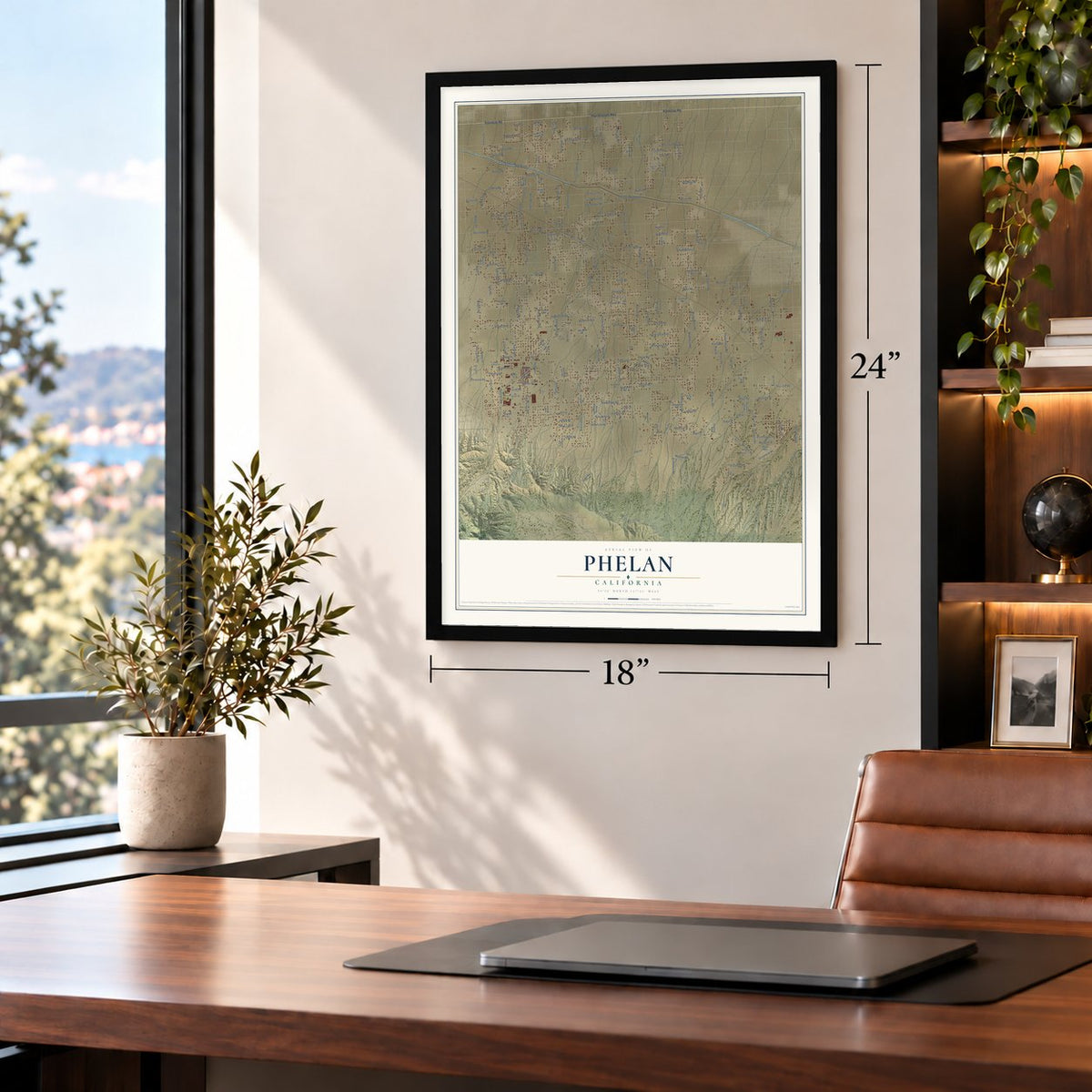
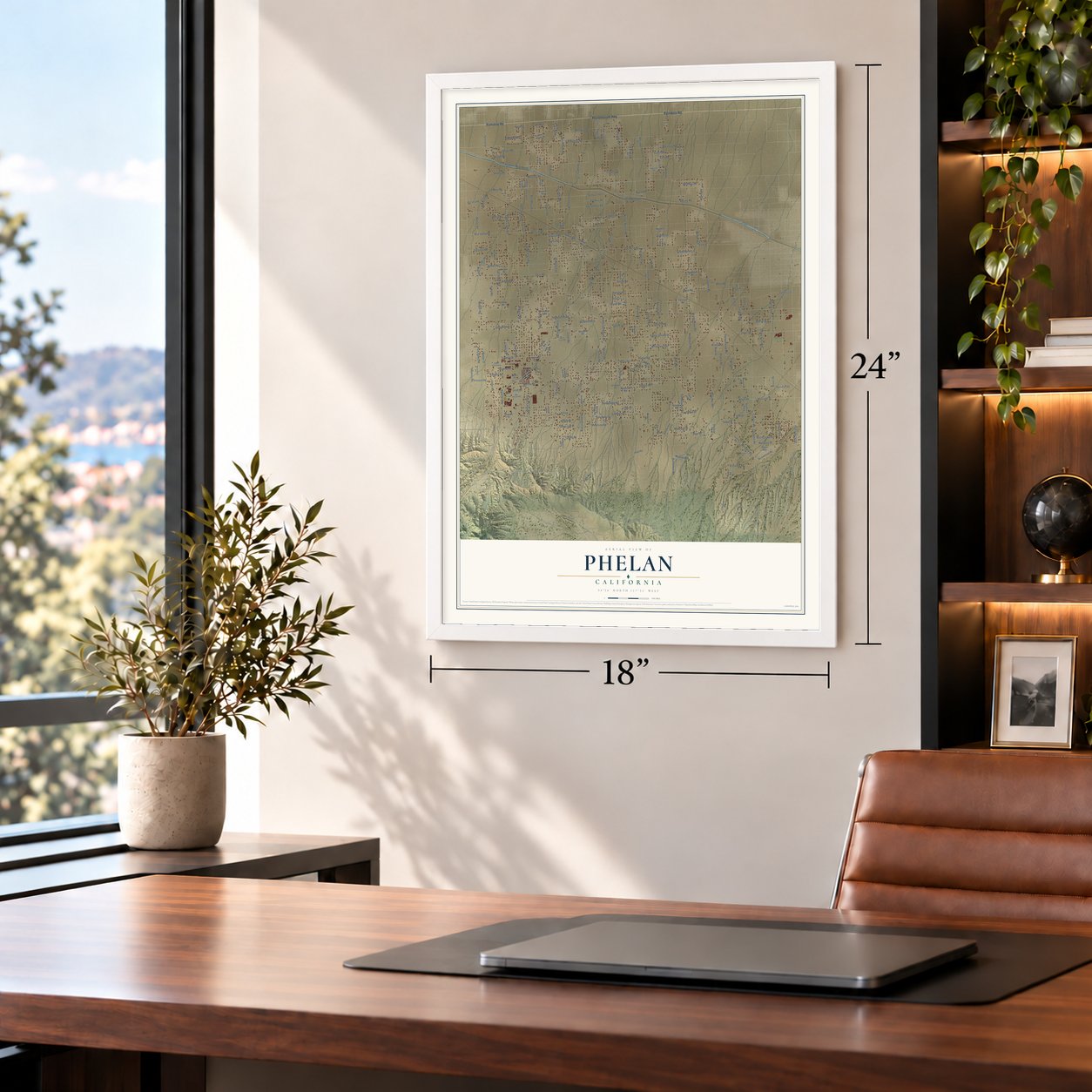
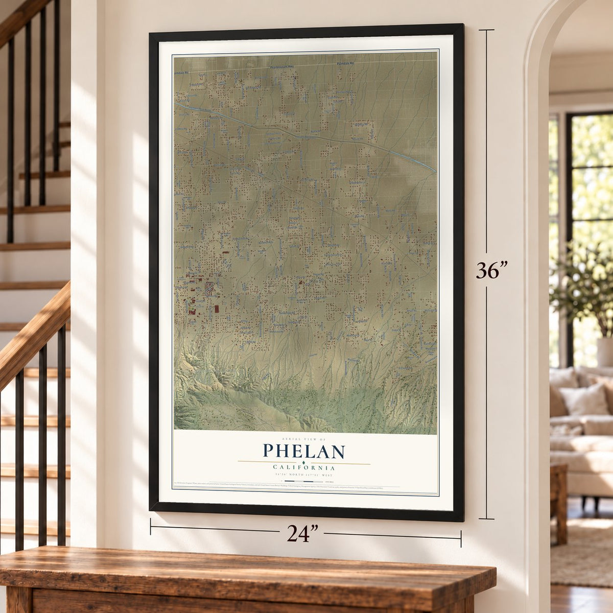
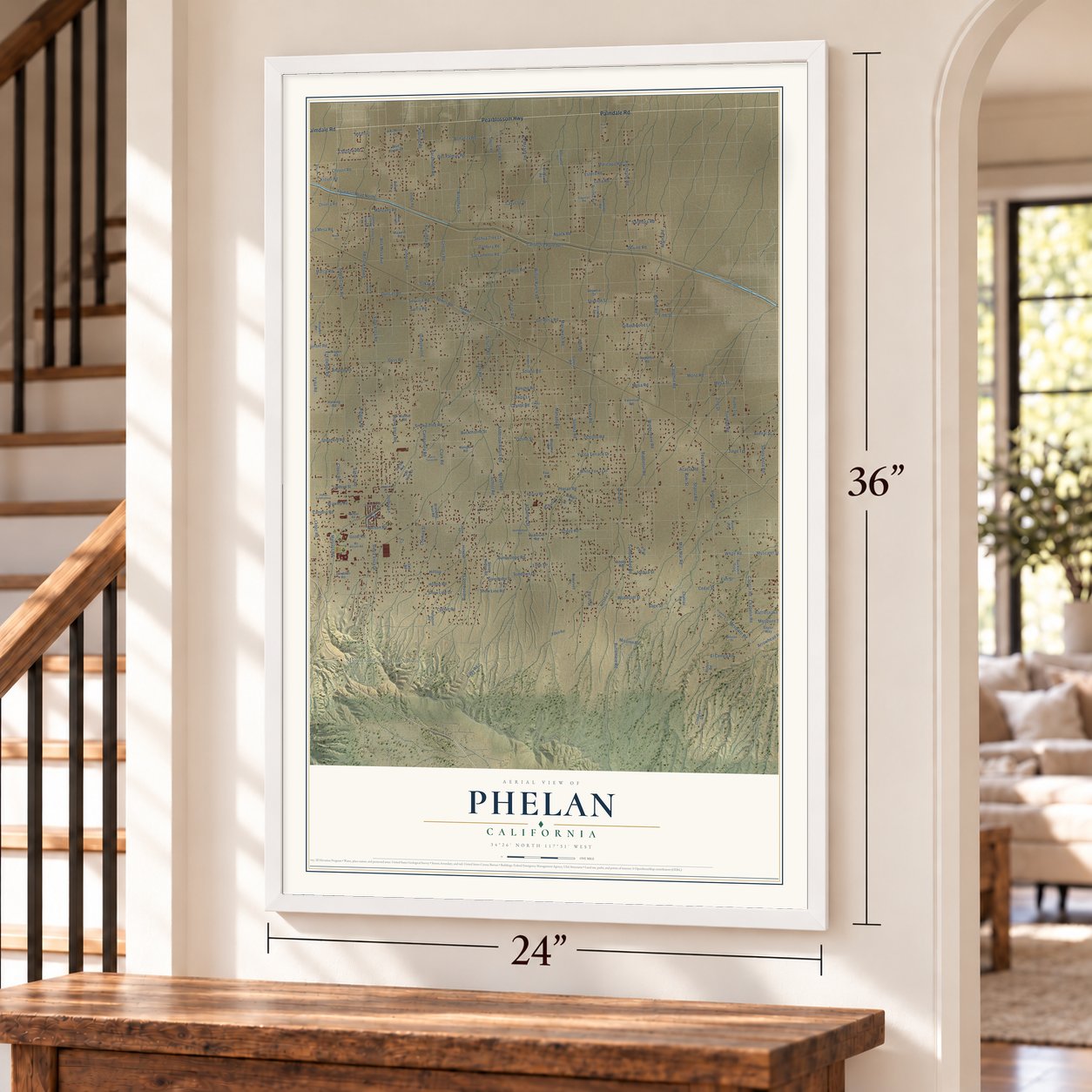
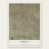
Phelan, California Map Art
Building by building, with labeled streets and shaded relief.
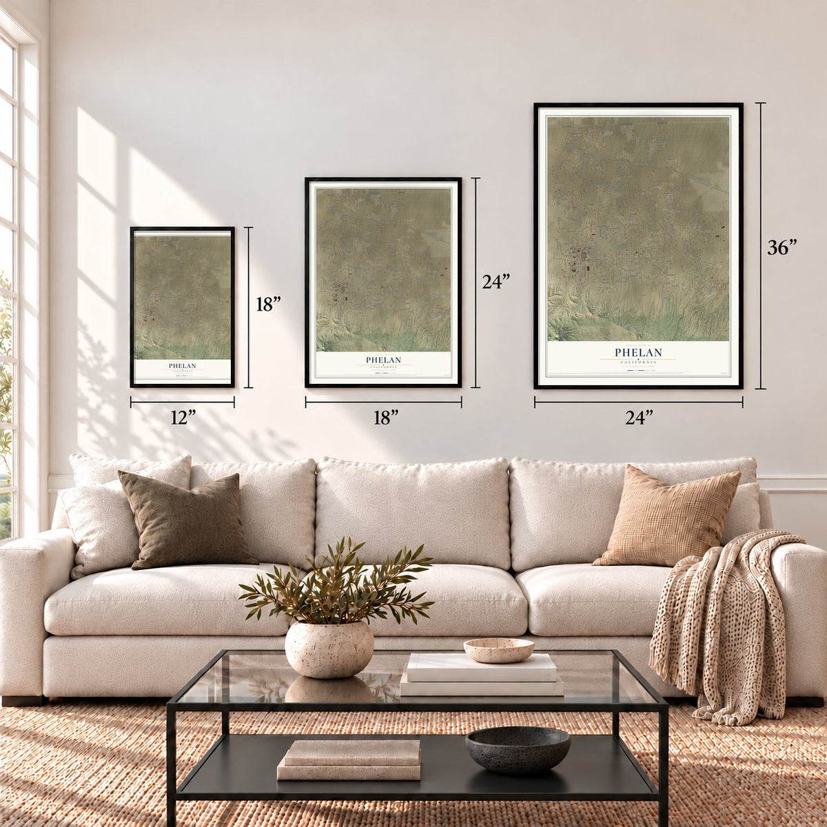
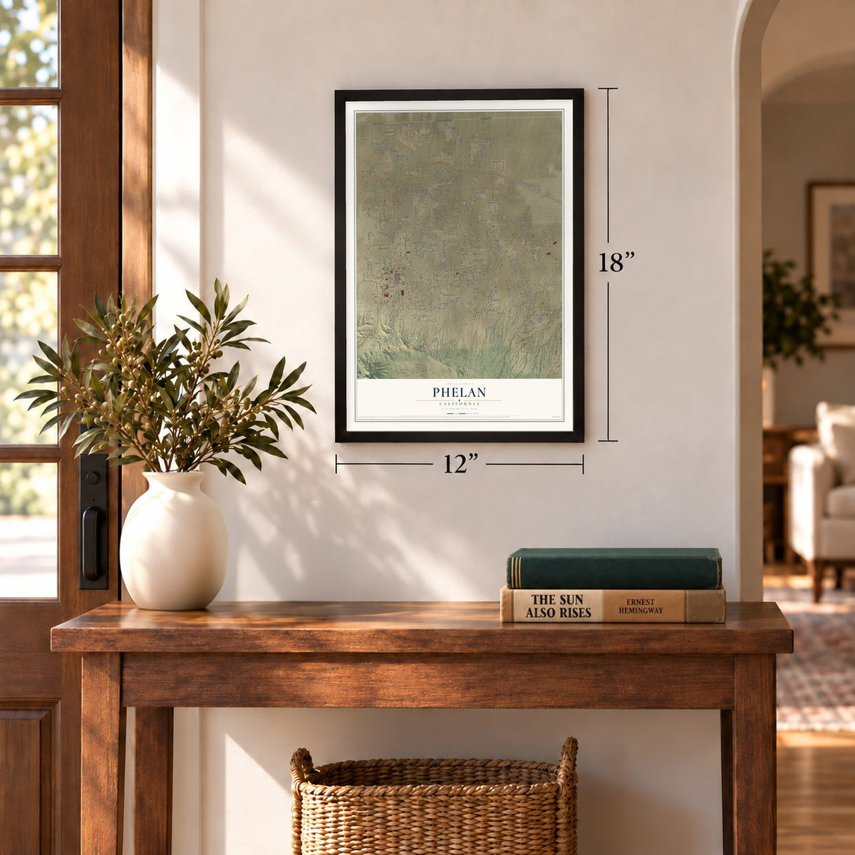
12" x 18" Archival Matte Print
A Map of Home. A Work of Art.
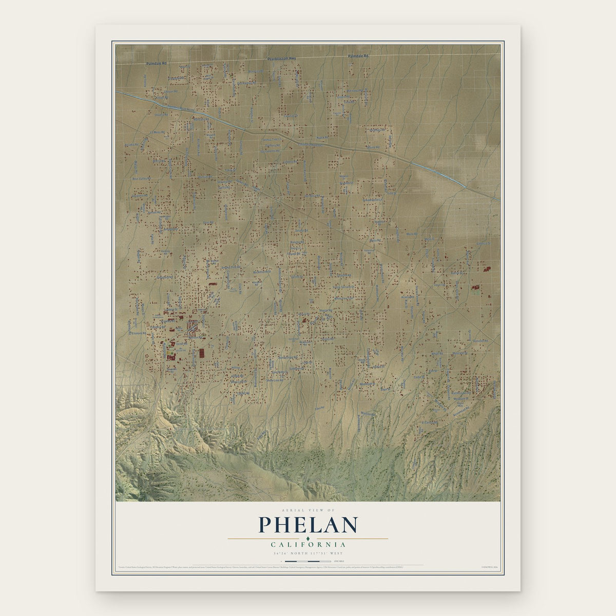
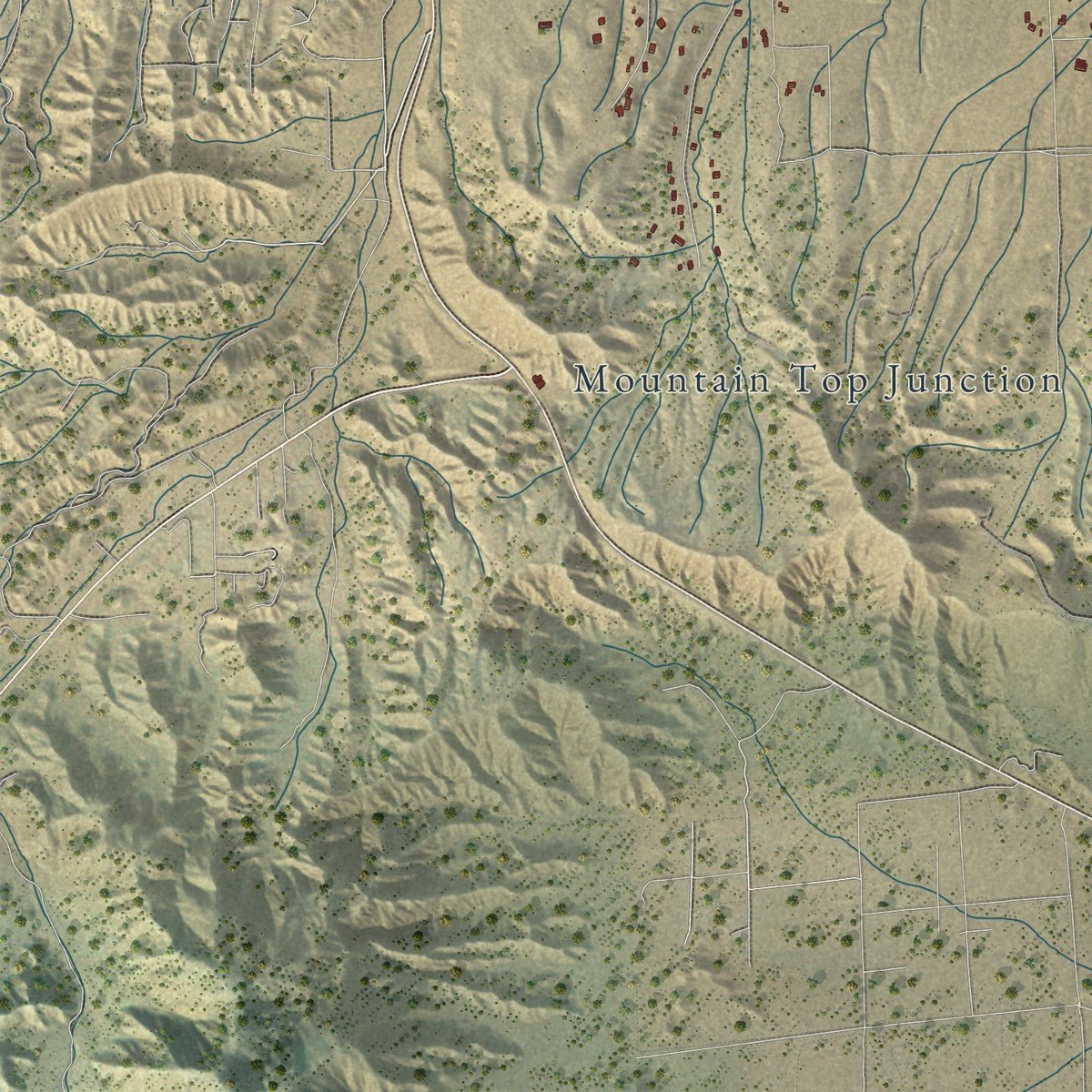
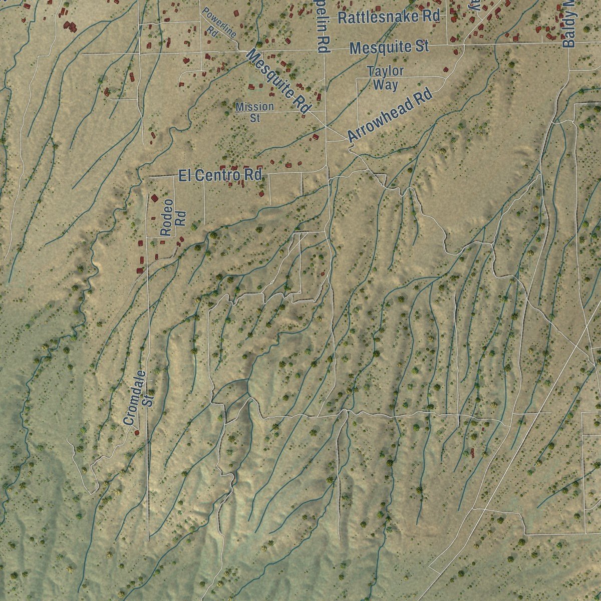
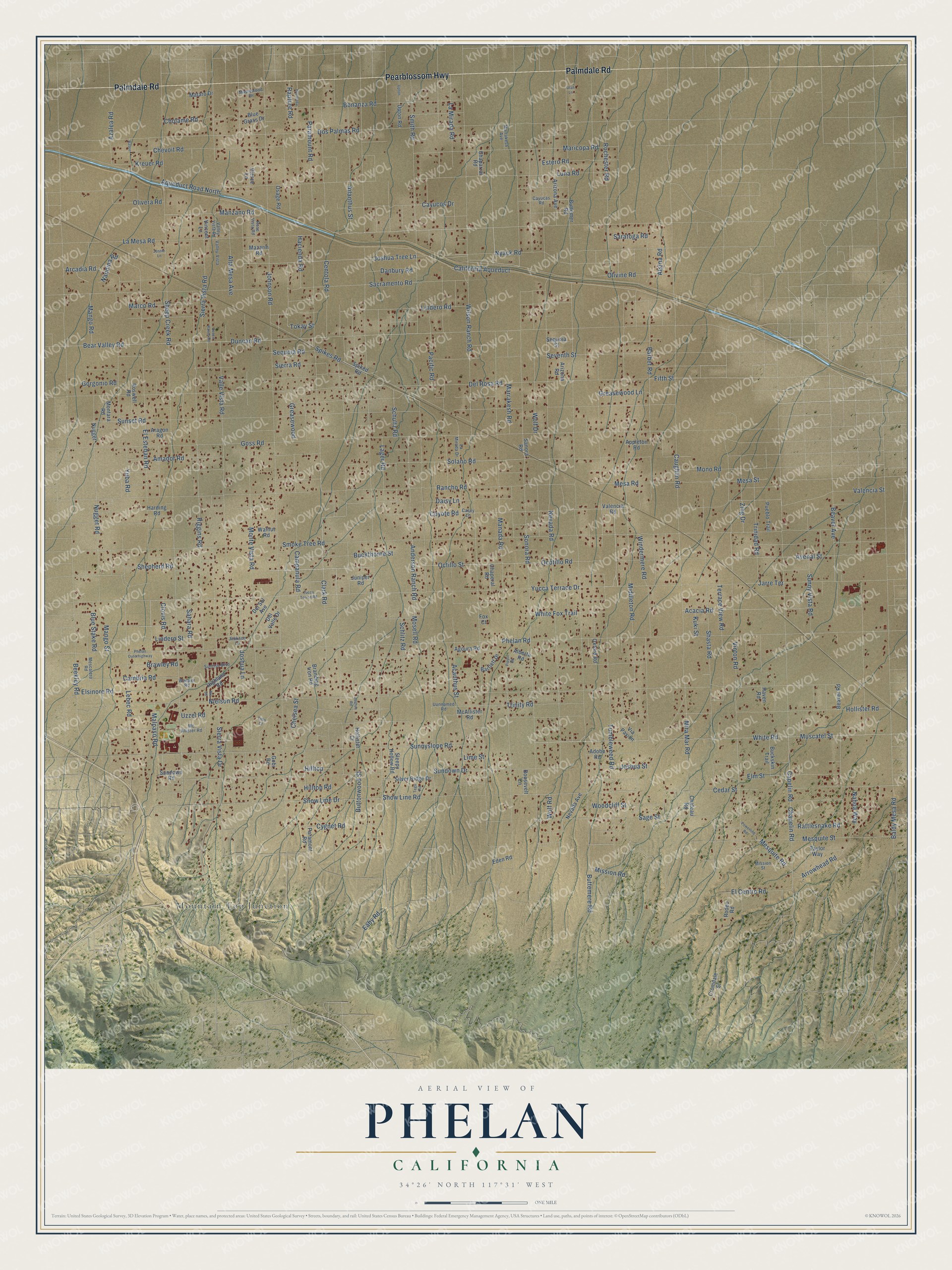
Explore Phelan, California from a whole new perspective. Created using aerial imagery and detailed geographic data, this map captures Phelan building by building, with labeled streets, familiar landmarks, and shaded topographical relief that highlights the natural contours of the landscape.
Combining modern data with the timeless character of a vintage atlas, this map is just as interesting up close as it is beautiful on the wall. Whether you grew up in Phelan, spent memorable years there, or call it home today, this unique map is a great way to celebrate a place that means something to you. Zoom in on the preview to look for your street, and then order a print to put your memories on the wall.
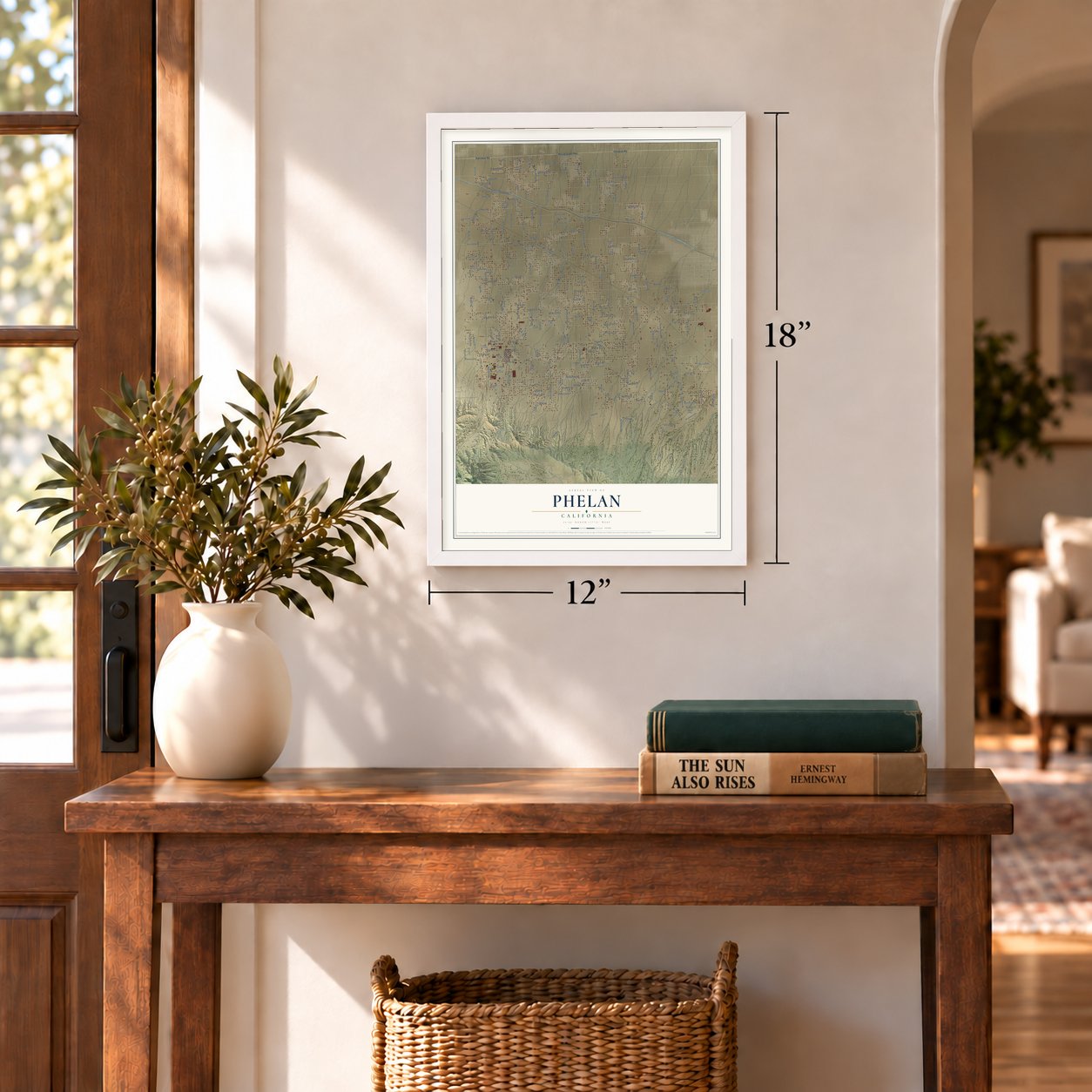
Three ways to hang it
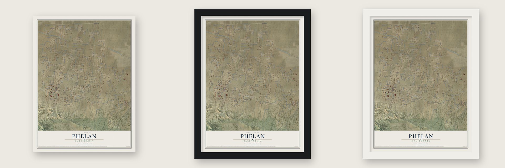
Unframed archival matte, a black wood frame or a white wood frame.
Up close
Geography Worth Displaying
This map was created using accurate cartographic data and authoritative geographic sources, including the U.S. Geological Survey and the Census Bureau. The map brings together terrain, waterways, roads, and building detail. The majority of the streets are labeled, houses are accurately depicted, and the topography is derived from government sources. Combining local data with carefully composed color and shading leads to this beautifully detailed Phelan artwork for your wall.
Rather than simply showing street outlines, we’ve included as many of the street names as we could reasonably fit on the map while keeping their names legible. Zoom in on the high resolution preview to see exactly what’s on the map. We truly set out to create a statement piece for anyone who loves Phelan. So whether it’s for you, or a gift for someone you love, we hope this map of Phelan brings back fond memories.
Read the story behind this map of Phelan, California from 2026.
Find your street
Names on the Phelan map
Every name below is printed on this map. Look for your street, your school, the park where you played, or the pond down the road.
Places and landmarks1
- Mountain Top Junction
Streets and roads239
- Palmdale Road
- Pearblossom Highway
- Middleton Road
- Eaby Road
- La Mesa Road
- Centola Road
- Rochester Road
- Aqueduct Road North
- White Fox Trail
- Ocotillo Road
- Yucca Terrace Drive
- Sunnyslope Road
- Buttemere Road
- Avenal Street
- Solano Road
- Sonora Road
- Del Rosa Road
- Paramount Road
- Tumbleweed Road
- Cambria Road
- Cedar Street
- California Aqueduct
- Schultz Road
- Buttonwood Street
- Mesquite Road
- Snow Line Drive
- Coyote Road
- Schlitz Road
- Cayucos Drive
- Joshua Tree Lane
Show all 239 streets
- Wilson Ranch Road
- Caughlin Road
- Johnson Road
- Phelan Road
- Smoke Tree Road
- Nielson Road
- Sheep Creek Road
- Beekley Road
- Smith Road
- Nevada Road
- Riggins Road
- Manada Road
- Dos Palmas Road
- Duncan Road
- Goss Road
- Baldy Mesa Road
- Sunset Road
- Monte Vista Road
- Rancho Road
- White Road
- Valle Vista Road
- Shasta Road
- Luna Road
- Acanthus Street
- Hollister Road
- Sierra Vista Road
- Arrowhead Road
- Lebec Road
- Wolf Drive
- Sacramento Road
- Ailanthus Street
- Campanula Road
- Barbet Road
- Lindero Road
- Bear Valley Road
- Chevoit Road
- Beaver Avenue
- Muscatel Street
- Bonanza Road
- Windermere Road
- Acacia Road
- Maricopa Road
- Vinton Road
- Greasewood Lane
- El Esteban Road
- Nyack Road
- Sundown Drive
- Valencia Street
- Anderson Ranch Road
- Daisy Lane
- Hacienda Road
- Nugget Road
- Buckthorne Street
- Mesquite Street
- Trinity Road
- Mono Road
- Sahara Road
- La Mirada Road
- Lindero Street
- Cygnet Road
- Atsina Road
- Capelin Road
- Pacific Road
- Gorgonio Road
- Clark Road
- Seventh Street
- Elsinore Road
- Snow Line Road
- Brawley Road
- Mesa Road
- Mesa Street
- Malpaso Road
- Lager Road
- Amador Road
- Elm Street
- Sunny Vista Road
- Sierra Road
- Rattlesnake Road
- Trinidad Road
- Marrakesh Road
- Yuba Road
- Manzano Road
- Cholame Road
- Terrace View Road
- Woodcliff Street
- Clovis Road
- Hilltop Road
- Rapture Road
- Joshua Street
- Sequoia Road
- Marco Road
- Olivera Road
- Octillo Street
- Spikes Road
- Danbury Road
- El Centro Road
- Alta Mesa Avenue
- Chapelin Road
- Mosell Road
- Sage Street
- Zing Drive
- Sierra Vista Drive
- Blue Stake Road
- Olivine Road
- Saratoga Road
- Joshua Lane
- Estero Road
- Shepherd Road
- Tokay Street
- Mira Mar Road
- Chelsea Street
- Nandina Road
- Azalea Road
- Mango Street
- Lime Street
- Arcadia Road
- Mango Road
- Kreuer Road
- Greasewood
- Mission Road
- Nahoa Way
- Wolf Road
- Jarre Terrace
- Hilltop
- Fifth Street
- Kuki Street
- Uzzel Road
- Sanora Road
- Oxford Road
- Arizona Avenue
- Juniper Road
- Aragon Road
- Harding Road
- Walnut Road
- Montara Road
- Buttemer Road
- Chaperal Road
- Pueblo Trail
- Branding Iron Road
- Silver Ridge Drive
- Spiked Road
- Roswell Road
- Adobe Road
- Nevada Avenue
- Buckskin Trail
- Highland Road
- Taylor Way
- Rodeo Road
- Gobi Road
- Vincent Lane
- Del Valle Drive
- Sleepy Hollow Road
- Bartlett Drive
- Cromdale Street
- Hollister Court
- Mataro Drive
- Blue Grass Drive
- Sequoia Street
- Beaver Road
- Arizona Road
- Upton Road
- Agoura Road
- Paramont Road
- McAllister Road
- Sundown Road
- Roosevelt Lane
- Appleton Road
- Osage Road
- Chateau Road
- Chaparral Road
- Mazarin Road
- Del Sol Avenue
- Alberta Road
- Valencia Road
- Eden Road
- Pierce Lane
- Nugget
- Raven Road
- Via Pavion
- Fox Court
- Mescalero Road
- Casey Lane
- Mission Street
- Rose Vista Road
- Sunrise Boulevard
- Valley-Vista
- Maplewood Drive
- La Mirada Drive
- Cayucas Road
- Marrakesh Avenue
- Mc Allister Road
- Uunnamed Road
- Valley Vista Road
- Jackson Lane
- Warbler Road
- Powerline Road
- Desert Ranch Road
- Yucca Terrce Road
- Phelan Outerhighway
- Upton
- Hacienda
- Tego Road
- Route 66
- Joshua Road
- Jennie Lane
- Raven
- Pippin Road
- Tims Court
- Utah Lane
Names are listed as they appear on the printed map. Zoom into the product photos to find them.
About Phelan, California
From the San Bernardino County: "The Phelan community was named after Senator James D. Phelan and his brother John Thomas Phelan."
Keep exploring California
Phelan is one of 1,990 California towns we've mapped. Every dot on the map is a print of its own.
The search covers every state, California first.
Near Phelan
Order 2 or more town maps and save 10%. Shown in the size and finish you picked above, so they hang as a set.
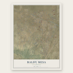
- Baldy Mesa 12" x 18" / Archival Matte Print $39.99
- Piñon Hills 12" x 18" / Archival Matte Print $39.99
- Oak Hills 12" x 18" / Archival Matte Print $39.99


More maps nearby: Wrightwood, Mountain View Acres, Adelanto, Victorville and Hesperia.
The art of mapping a place
How This Map Was Made
Real places. Remarkable detail. Discover the layers that turn geographic data into a map of home.

The view from above
Aerial imagery reveals the character of the land: woodland, open fields, and the patterns of a place.

The shape of the land
Elevation data brings hills, valleys, and subtle changes in the landscape into view.

The details of home
Roads, waterways, and building footprints come together to make the map feel unmistakably local.

Geography becomes art
Considered color, shading, and typography bring the layers together in a map made for your wall.


Process illustrated with Mendon, Massachusetts. Aerial imagery: USDA NAIP. Terrain: USGS 3D Elevation Program. Map details and finished artwork: KNOWOL.
The Details
About This Print
Choose an archival matte print, or a black or white Ayous wood frame. The archival matte print is unframed.
Select your size and finish above to see the matching product image and price.
Materials & Craftsmanship
A contemporary map with the character of a classic atlas, printed on archival matte paper. Optional frames are made from Ayous wood.
Your printed map does not include the watermark shown in the full-map preview.
Shipping & Delivery
Free shipping within the United States. Every print is made to order in the USA.
Buying a gift? Add a note in your cart and we'll include it. We never put prices in the package.
Prints ship within 2 to 3 business days. Allow 7 to 10 days total from ordering for delivery. Timing may vary during holidays or periods of high order volume.
Read our shipping policy.
Returns and damaged prints
Each print is made to order. Change-of-mind refunds are not available after production.
If your print arrives damaged, misprinted or incorrect, contact support@knowol.com within 30 days of receiving it. Include your order number, photos and a description of the issue.
Read our full refund and replacement policy. For questions about your order, email support@knowol.com.