
Search for another town
Free U.S. delivery 7 to 10 days after you order
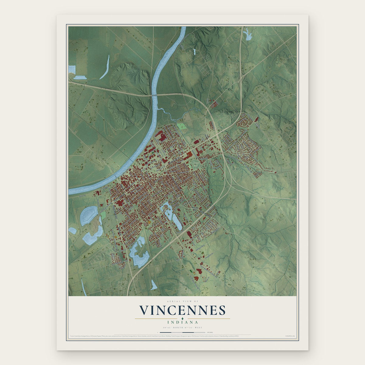
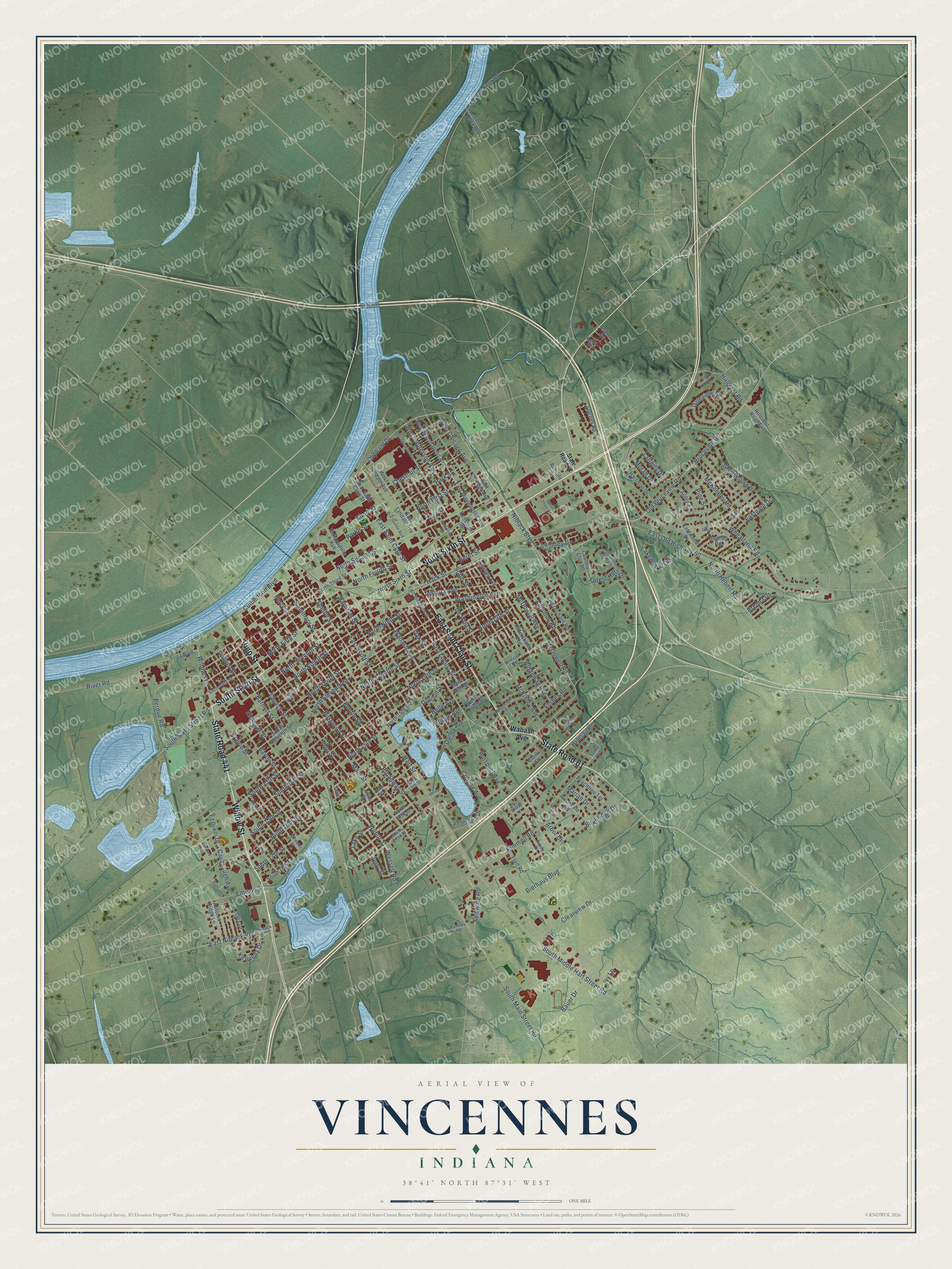
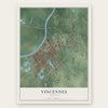
Vincennes, Indiana Map Art
Building by building, with labeled streets and shaded relief.
12" x 18" Archival Matte Print
A Map of Home. A Work of Art.
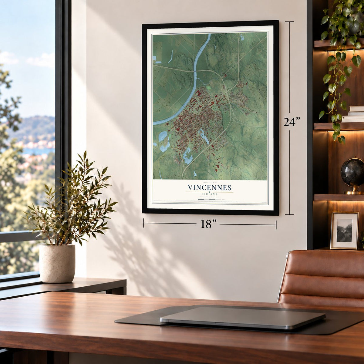
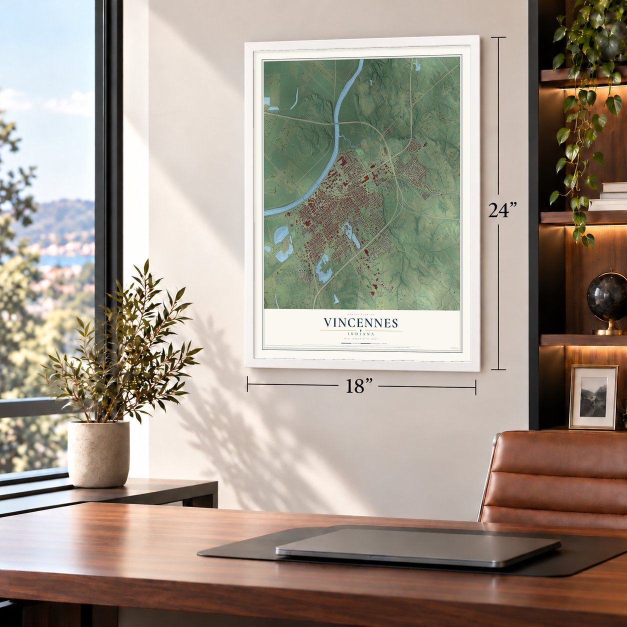
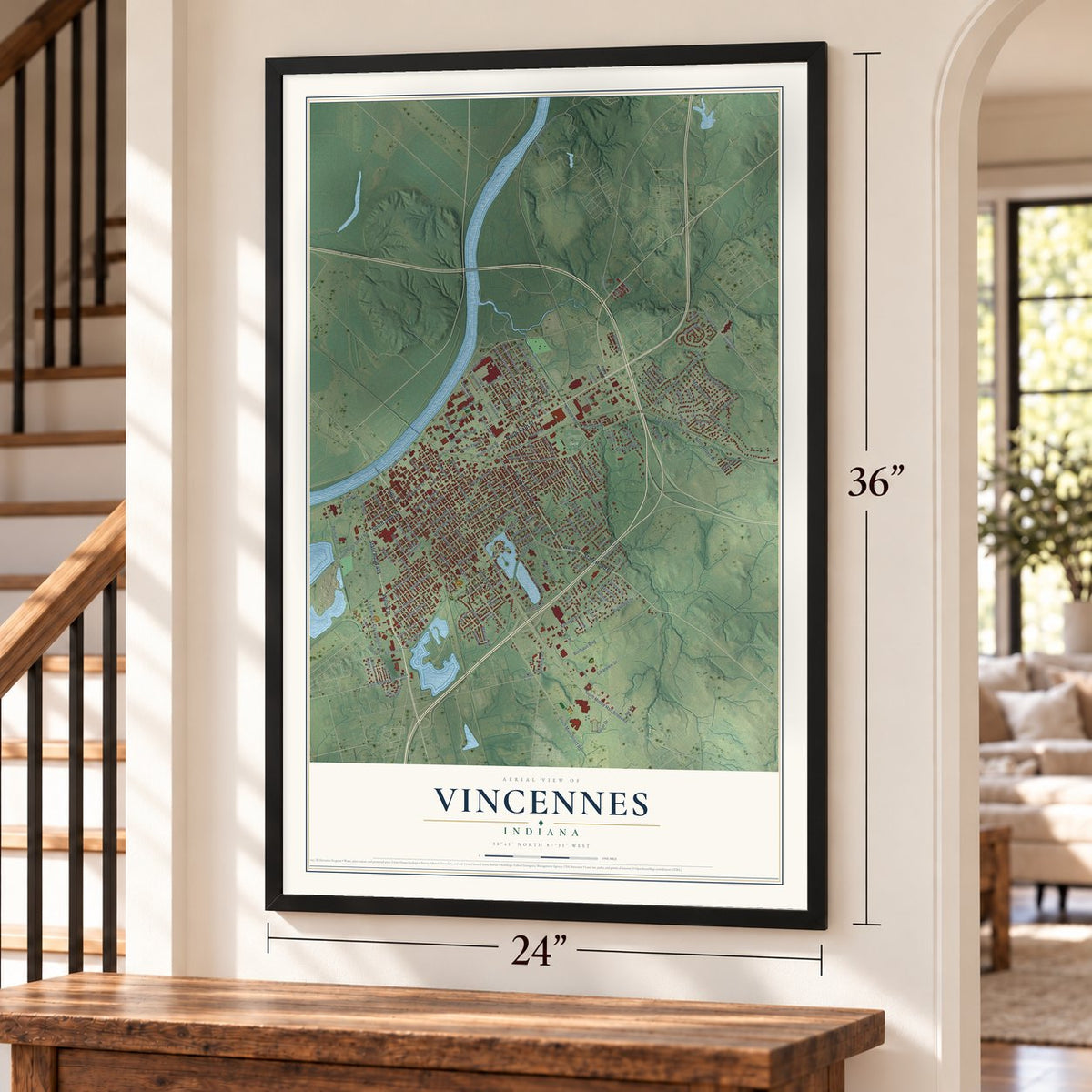
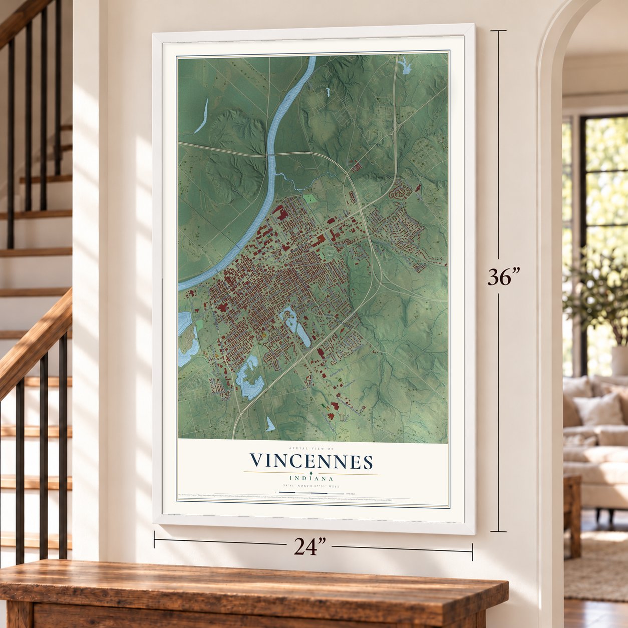
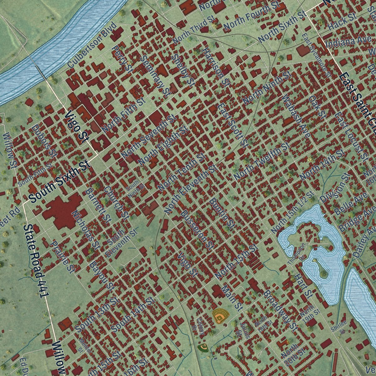
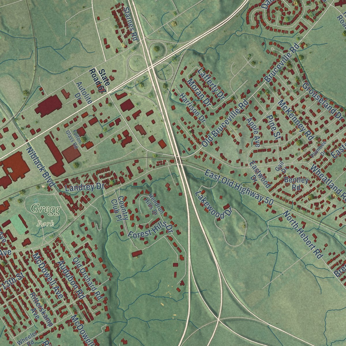
Explore Vincennes, Indiana from a whole new perspective. Created using aerial imagery and detailed geographic data, this map captures Vincennes building by building, with labeled streets, familiar landmarks, and shaded topographical relief that highlights the natural contours of the landscape.
Combining modern data with the timeless character of a vintage atlas, this map is just as interesting up close as it is beautiful on the wall. Whether you grew up in Vincennes, spent memorable years there, or call it home today, this unique map is a great way to celebrate a place that means something to you. Zoom in on the preview to look for your street, and then order a print to put your memories on the wall.
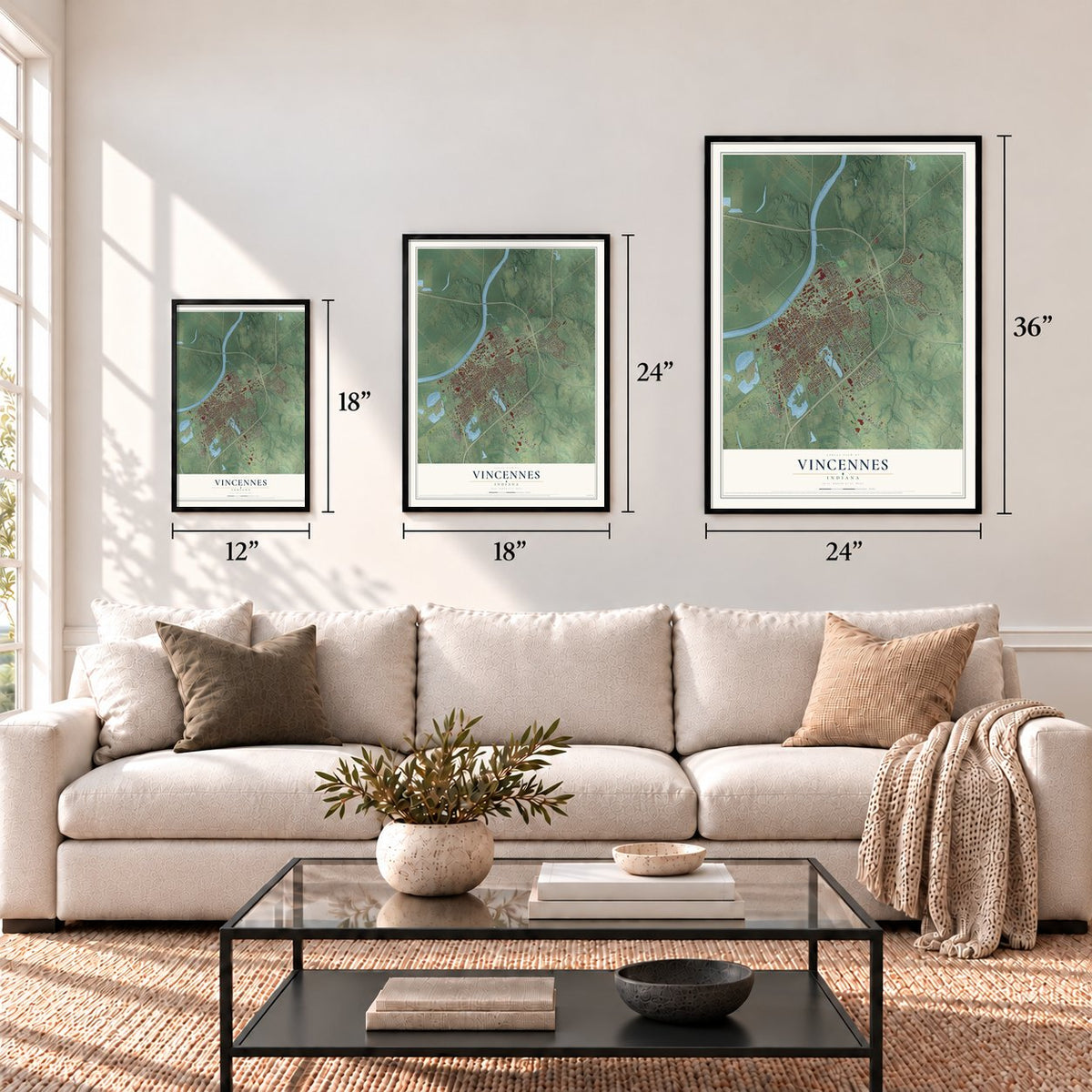
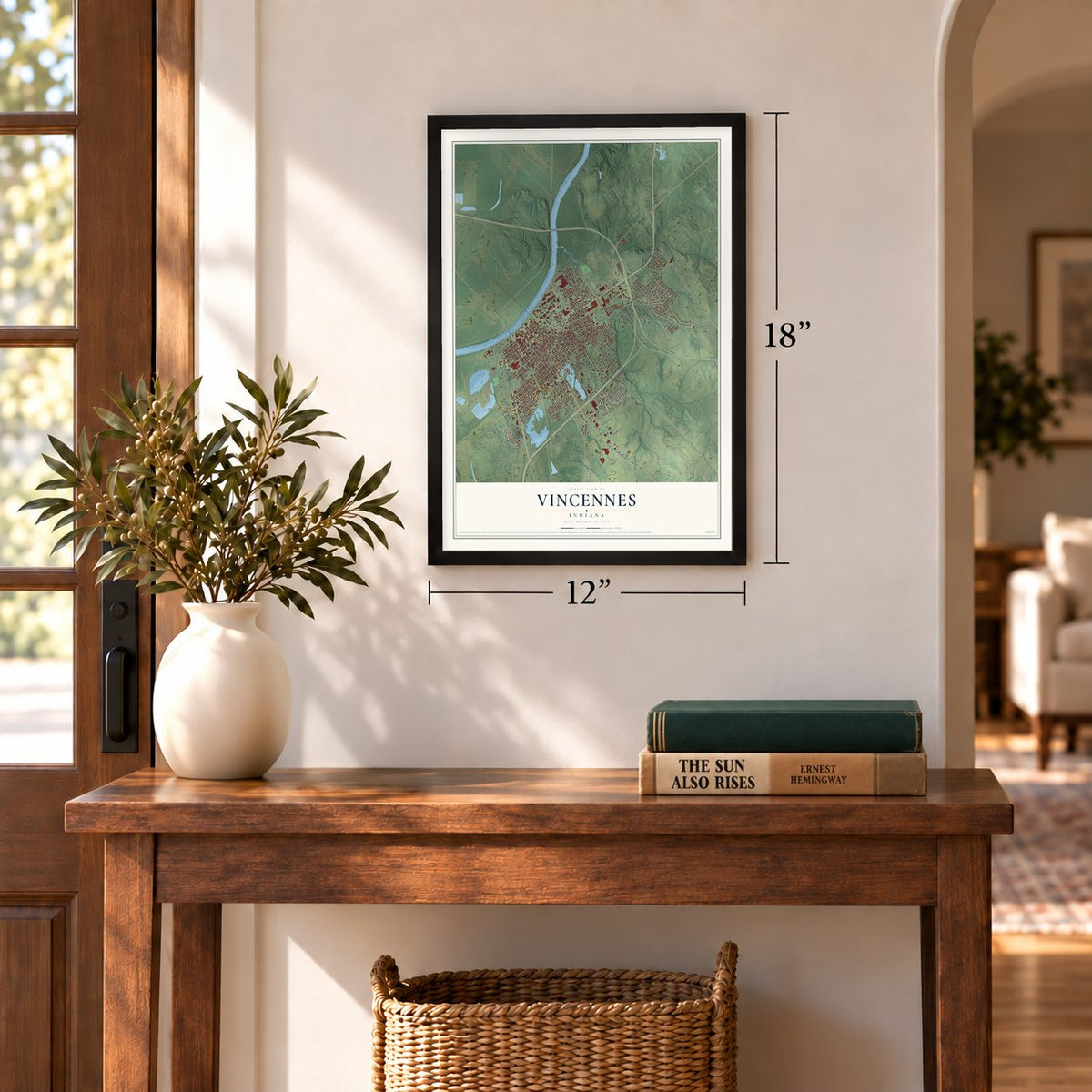
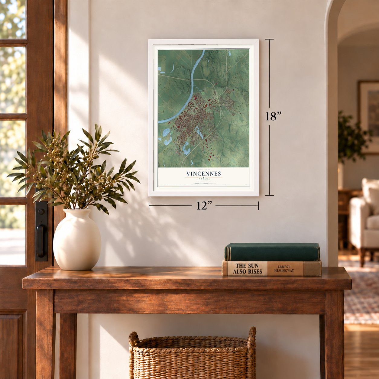
Three ways to hang it
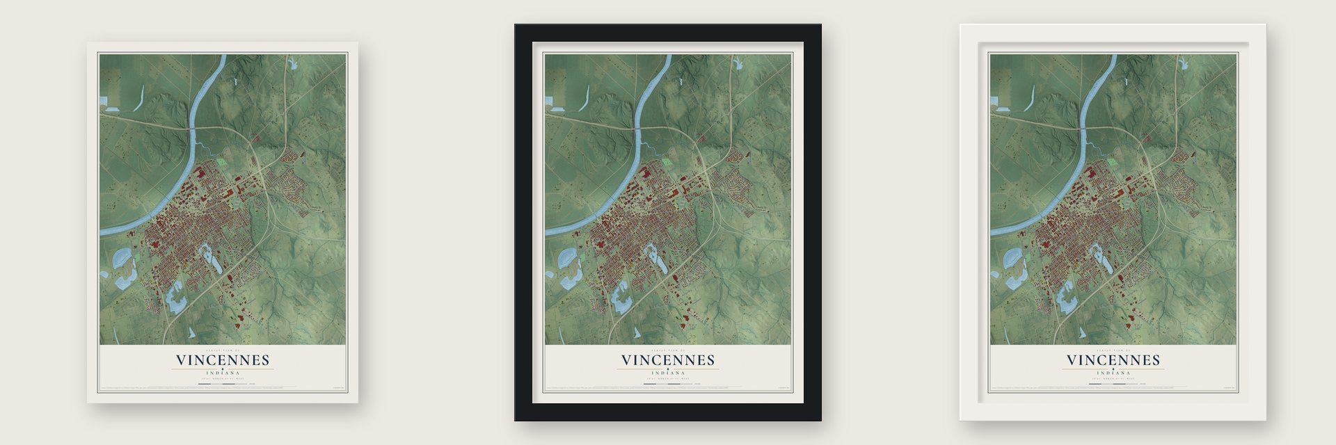
Unframed archival matte, a black wood frame or a white wood frame.
Up close
Geography Worth Displaying
This map was created using accurate cartographic data and authoritative geographic sources, including the U.S. Geological Survey and the Census Bureau. The map brings together terrain, waterways, roads, and building detail. The majority of the streets are labeled, houses are accurately depicted, and the topography is derived from government sources. Combining local data with carefully composed color and shading leads to this beautifully detailed Vincennes artwork for your wall.
Rather than simply showing street outlines, we’ve included as many of the street names as we could reasonably fit on the map while keeping their names legible. Zoom in on the high resolution preview to see exactly what’s on the map. We truly set out to create a statement piece for anyone who loves Vincennes. So whether it’s for you, or a gift for someone you love, we hope this map of Vincennes brings back fond memories.
Read the story behind this map of Vincennes, Indiana from 2026.
Find your street
Names on the Vincennes map
Every name below is printed on this map. Look for your street, your school, the park where you played, or the pond down the road.
Places and landmarks1
- Gregg Park
Streets and roads185
- North Sixth Street
- Vigo Street
- South Sixth Street
- Willow Street
- State Road 441
- East Saint Clair Street
- State Road 61
- Oliphant Drive
- Bruceville Road
- West Chicago Avenue
- Wabash Avenue
- North Seventh Street
- Park Street
- Parke Street
- Hart Street
- South Middle Hart Street Road
- Chestnut Street
- East Niblack Road
- Hillcrest Road
- North Second Street
- Wheatland Road
- Moran Drive
- West Jefferson Avenue
- Arbor Drive
- McDowell Avenue
- Main Street
- College Avenue
- Washington Avenue
- Broadway Street
- Old Bruceville Road
Show all 185 streets
- North First Street
- Busseron Street
- North 13th Street
- North 14th Street
- Buntin Street
- McDowell Road
- North Twelfth Street
- Harrison Street
- Niblack Boulevard
- South 15th Street
- East Scott Street
- East Locust Street
- North Eleventh Street
- Perry Street
- Bayou Street
- Shelby Street
- North Fourth Street
- Bierhaus Boulevard
- Nicholas Street
- Kimmell Road
- Prairie Street
- McKinley Avenue
- Barnett Street
- Church Street
- Seminary Street
- South 13th Street
- Ridgeway Avenue
- State Street
- South 14th Street
- Dubois Street
- North Ninth Street
- North Tenth Street
- Short Street
- Veterans Drive
- North Eighth Street
- South 16th Street
- Forest Hills Drive
- Prospect Avenue
- East Old Highway 50
- South Main Street Road
- North Fifth Street
- North 15th Street
- Perdue Road
- Buckridge Drive
- Daleview Drive
- River Road
- Cavanaugh Avenue
- McKenney Road
- De Wolf Street
- South 17th Street
- North Hebert Road
- Bauer Drive
- Indiana Avenue
- Forbes Road
- Oak Street
- Day Street
- Wilbur Street
- Culbertson Boulevard
- Clearview Drive
- Landrey Drive
- Audubon Road
- Emison Street
- Grouseland Drive
- South Sixth Street Road
- Lakewood Drive
- Kennedy Drive
- Pine Street
- Felt King Road
- Eastgate Drive
- Jerry Street
- Hack Street
- Beret Street
- Wessell Road
- Dailey Avenue
- Division Street
- Marian Drive
- Lake Street
- Brenda Drive
- Lafferty Drive
- Bridge Avenue
- Belle Avenue
- Ivy Lane
- West Saint Clair Street
- Frisz Boulevard
- Hillcrest Road Extension
- Andrew Drive
- North Third Street
- Ritterskamp Avenue
- Country Club Place
- West Minneapolis Avenue
- East Minneapolis Avenue
- Old Orchard Road
- North 16th Street
- West Lyndale Avenue
- North 17th Street
- South Eleventh Street
- Bentley Road
- South 18th Street
- Lower Fort Knox Road
- Harrison Drive
- Kessinger Street
- Winesap Road
- Eastwood Drive
- Indianapolis Avenue
- Autumn Ridge Lane
- East Chicago Avenue
- North 20th Street
- Emison Avenue
- Apple Avenue
- Peachtree Terrace
- Ed Dukes Drive
- East Lyndale Avenue
- Starnes Road
- Fort Knox Drive
- Ford Road
- Clark Street
- Avondale Road
- Ona Drive
- Autolite Drive
- State Road 67
- East Sycamore Street
- Wheeler Street
- South Fifth Street
- Niblack Road
- North 19th Street
- South 22nd Street
- Montclair Drive
- Joice Street
- Wheeler Road
- Overlook Drive
- Hendron Hills Drive
- Turley Avenue
- Raney Drive
- Jackson Drive
- Julius Street
- Dale Haven Drive
- Ramsey Road
- Shady Lane
- Rose Drive
- Kathy Drive
- Gail Drive
- South Ninth Street
- Mentor Street
- West Eberwine Avenue
- Rousillion Street
- Plumtree Drive
- Colony Drive
- North 18th Street
- Thompson Drive
- Fulton Glass Road
- Red Skelton Boulevard
- North Old Highway 41
- Watson Street
- Bambino Drive
- Shirlee Street
Names are listed as they appear on the printed map. Zoom into the product photos to find them.
About Vincennes, Indiana
Vincennes is a city of 16,759 people and the seat of Knox County, on the lower Wabash River. In 1732 the French Indies Company sent François-Marie Bissot, Sieur de Vincennes, a French officer, with orders for a trading post on the Wabash, so that the local nations would stop trading with the English. He chose a spot near where the Wabash and White rivers meet the Buffalo Trace. He talked the Piankeshaw into building a village beside the post and drew French Canadian families to settle there.
In 1736, during France's war with the Chickasaw, the founder was captured and burned at the stake, and his post was renamed Poste Vincennes to honor him. France handed the territory to Britain on February 10, 1763. British officer John Ramsey arrived in 1766, counted the people and renamed the fort Fort Sackville. In 1778 the townspeople and the Piankeshaw under Chief Young Tobacco sided with the Americans. In February 1779 George Rogers Clark's men took the fort from Henry Hamilton without losing a soldier.
“The capture of Vincennes from the British was an event of such moment that it subsequently contributed very largely to the greatness of the American nation.”
- A winter attack with Vigo's helpFrancis Vigo, an Italian merchant on the Patriot side, found Clark and told him the British held the fort. Vigo also ordered war supplies from the Spanish and worked as a secret agent. Clark struck in the middle of winter, when floodwaters ran high and no army was expected to move, and his men won the Battle of Vincennes.
- Forty-seven war canoesIn 1786 a Kentucky militia under Captain John Hardin destroyed a friendly Piankeshaw town near Vincennes. On July 15, 1786, Wabash warriors landed at the town in forty-seven war canoes. They told the Canadians they would be spared, but the Canadians warned the Americans, who stocked Fort Patrick Henry and outlasted the siege. One American died and four were wounded before the warriors left, burning the Americans' farms behind them.
- Territorial capital, 1800 to 1813Vincennes was the capital of the Indiana Territory from 1800 until the government moved to Corydon on May 1, 1813. No other town held the job longer, and by 1798 Vincennes already had 2,500 people. The Territorial Capitol of Former Indiana Territory joined the National Register in 1973.
- Indiana's first newspaperElihu Stout printed the first issue of the Indiana Gazette in Vincennes on July 31, 1804, the first newspaper in the Indiana Territory. A fire wrecked his presses in 1806, so he started over in 1807 under a new name, the Western Sun.
Keep exploring Indiana
Vincennes is one of 1,023 Indiana towns we've mapped. Every dot on the map is a print of its own.
The search covers every state, Indiana first.
Near Vincennes
Order 2 or more town maps and save 10%. Shown in the size and finish you picked above, so they hang as a set.
- Bruceville 12" x 18" / Archival Matte Print $39.99
- Emison 12" x 18" / Archival Matte Print $39.99
- Monroe City 12" x 18" / Archival Matte Print $39.99
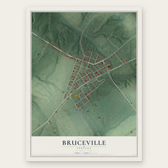
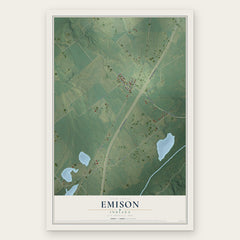
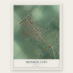
More maps nearby: Decker, Wheatland, Ragsdale, Bicknell and Hazleton.
The art of mapping a place
How This Map Was Made
Real places. Remarkable detail. Discover the layers that turn geographic data into a map of home.

The view from above
Aerial imagery reveals the character of the land: woodland, open fields, and the patterns of a place.

The shape of the land
Elevation data brings hills, valleys, and subtle changes in the landscape into view.

The details of home
Roads, waterways, and building footprints come together to make the map feel unmistakably local.

Geography becomes art
Considered color, shading, and typography bring the layers together in a map made for your wall.


Process illustrated with Mendon, Massachusetts. Aerial imagery: USDA NAIP. Terrain: USGS 3D Elevation Program. Map details and finished artwork: KNOWOL.
The Details
About This Print
Choose an archival matte print, or a black or white Ayous wood frame. The archival matte print is unframed.
Select your size and finish above to see the matching product image and price.
Materials & Craftsmanship
A contemporary map with the character of a classic atlas, printed on archival matte paper. Optional frames are made from Ayous wood.
Your printed map does not include the watermark shown in the full-map preview.
Shipping & Delivery
Free shipping within the United States. Every print is made to order in the USA.
Buying a gift? Add a note in your cart and we'll include it. We never put prices in the package.
Prints ship within 2 to 3 business days. Allow 7 to 10 days total from ordering for delivery. Timing may vary during holidays or periods of high order volume.
Read our shipping policy.
Returns and damaged prints
Each print is made to order. Change-of-mind refunds are not available after production.
If your print arrives damaged, misprinted or incorrect, contact support@knowol.com within 30 days of receiving it. Include your order number, photos and a description of the issue.
Read our full refund and replacement policy. For questions about your order, email support@knowol.com.