
Search for another town
Free U.S. delivery 7 to 10 days after you order
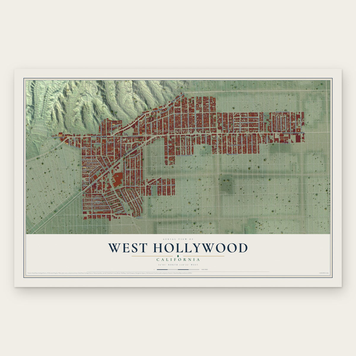
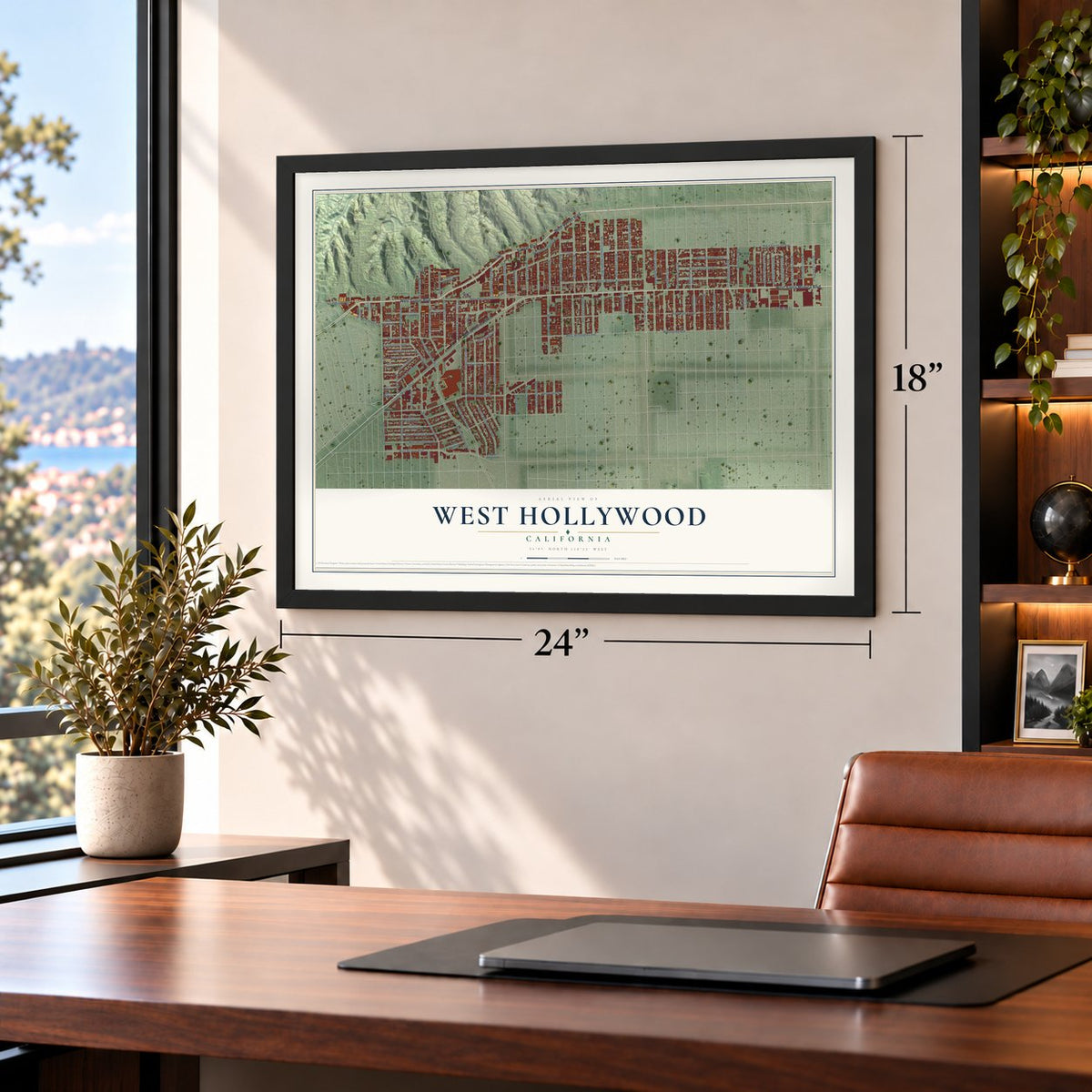
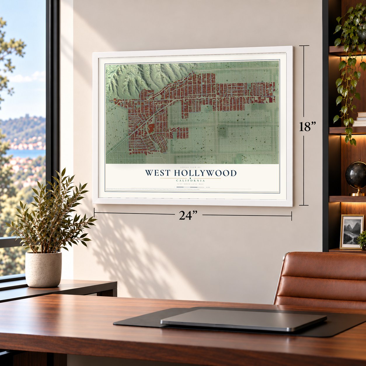
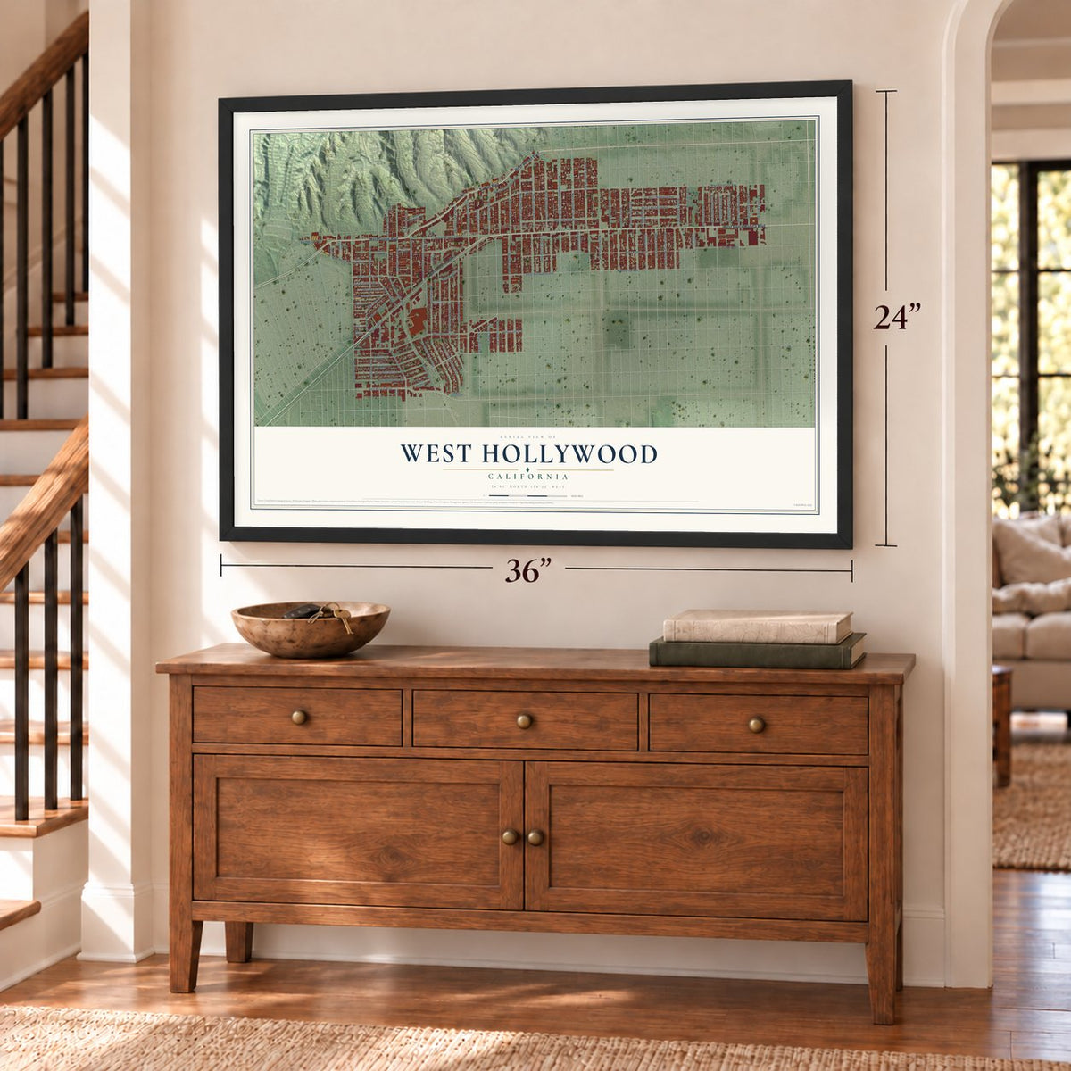
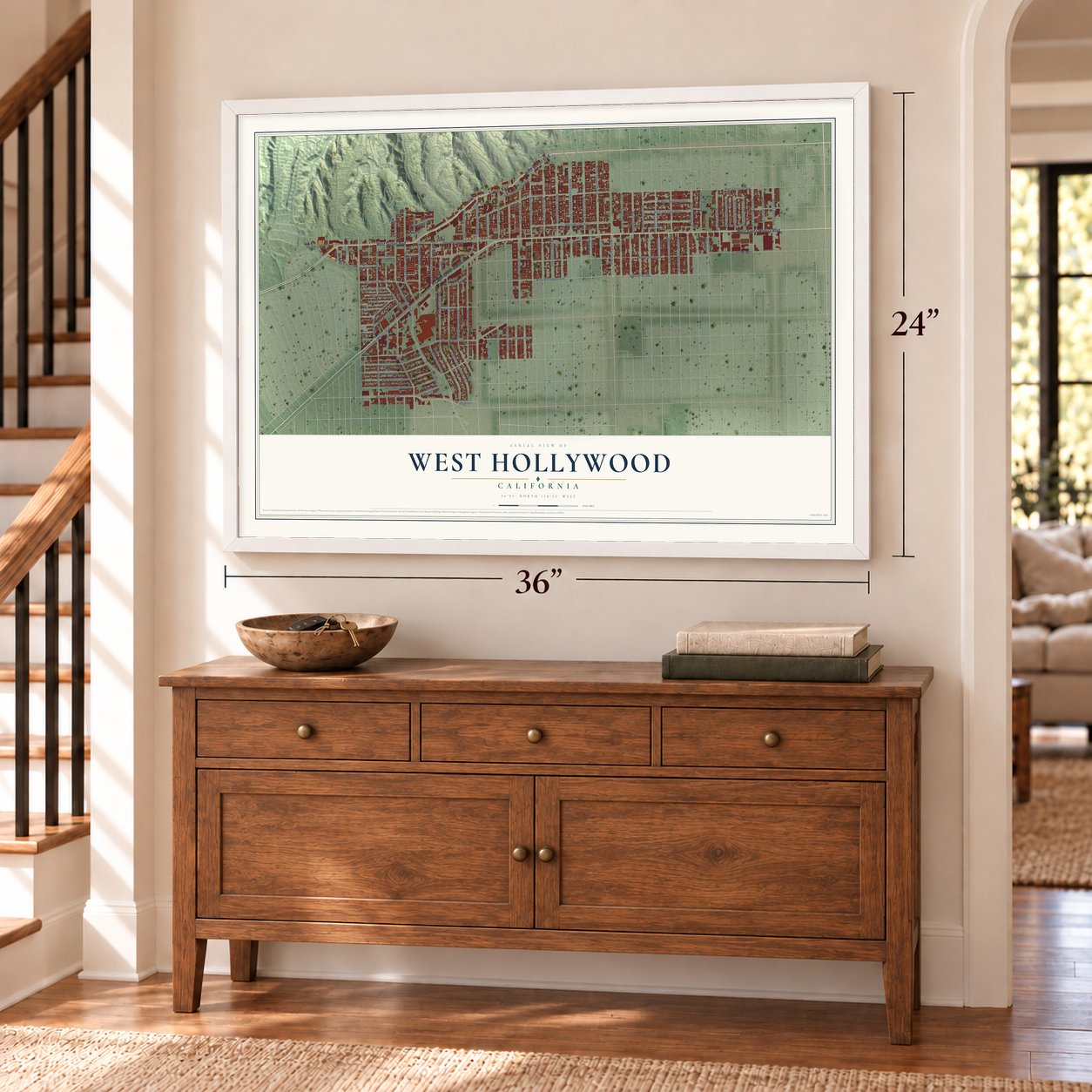
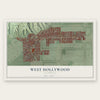
West Hollywood, California Map Art
Building by building, with labeled streets and shaded relief.
12" x 18" Archival Matte Print
A Map of Home. A Work of Art.
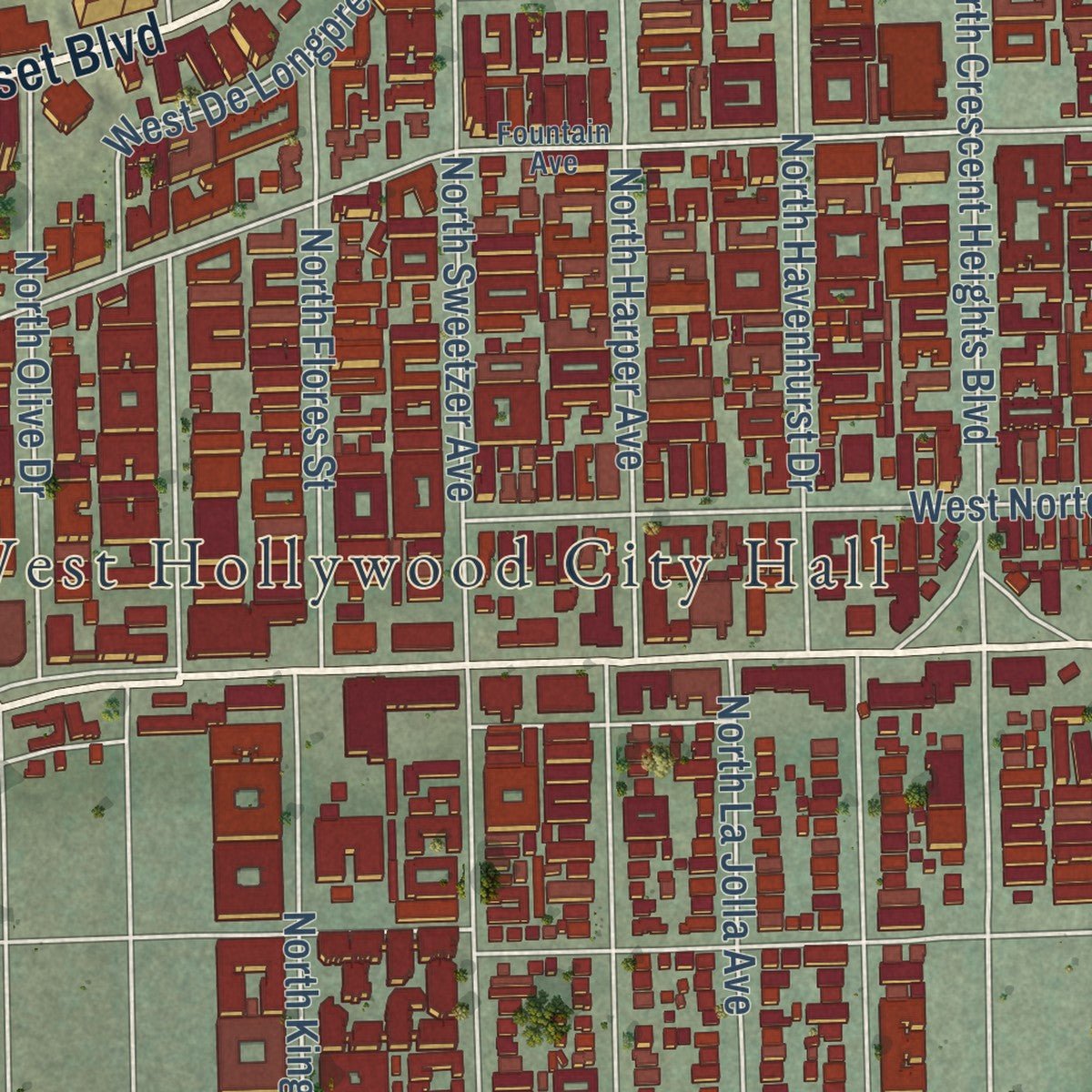
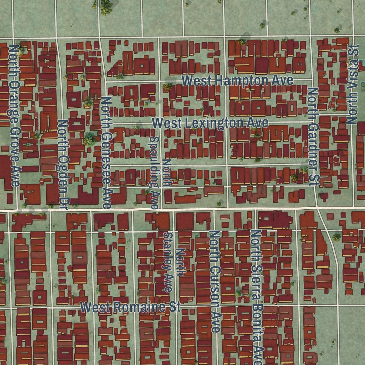
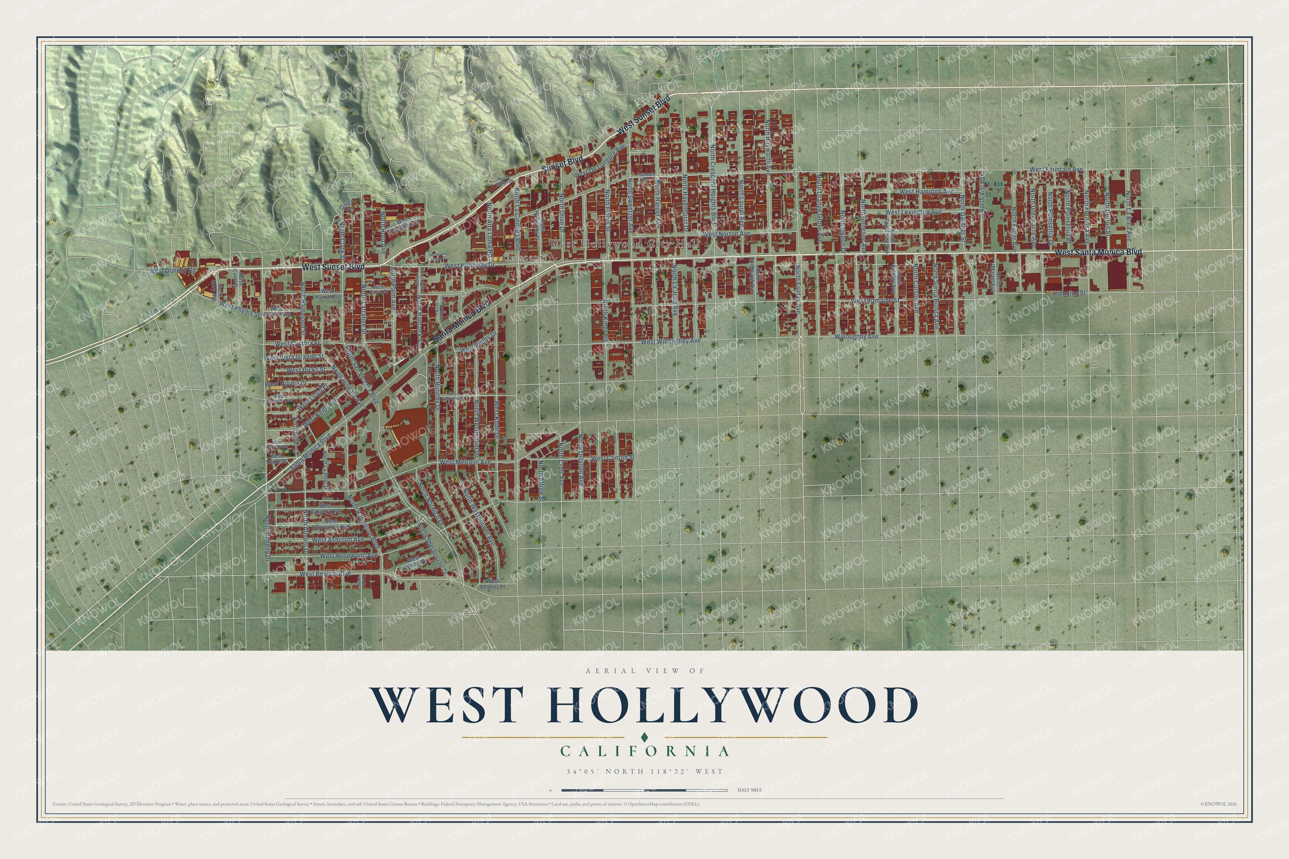
Explore West Hollywood, California from a whole new perspective. Created using aerial imagery and detailed geographic data, this map captures West Hollywood building by building, with labeled streets, familiar landmarks, and shaded topographical relief that highlights the natural contours of the landscape.
Combining modern data with the timeless character of a vintage atlas, this map is just as interesting up close as it is beautiful on the wall. Whether you grew up in West Hollywood, spent memorable years there, or call it home today, this unique map is a great way to celebrate a place that means something to you. Zoom in on the preview to look for your street, and then order a print to put your memories on the wall.
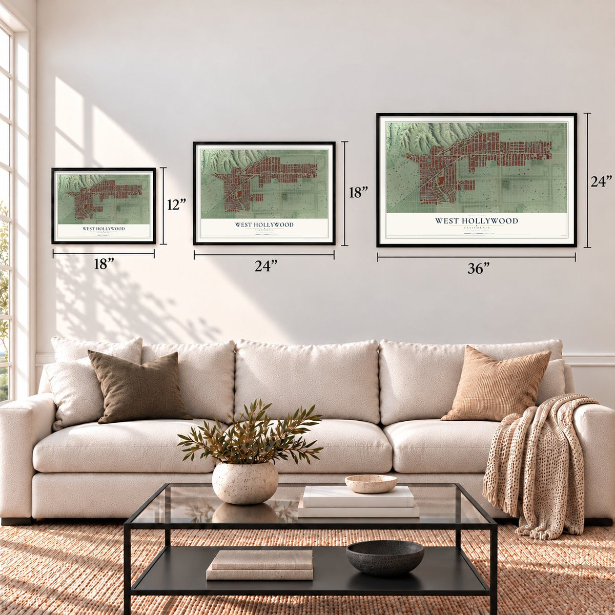
Three ways to hang it
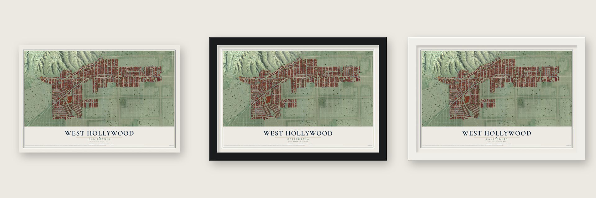
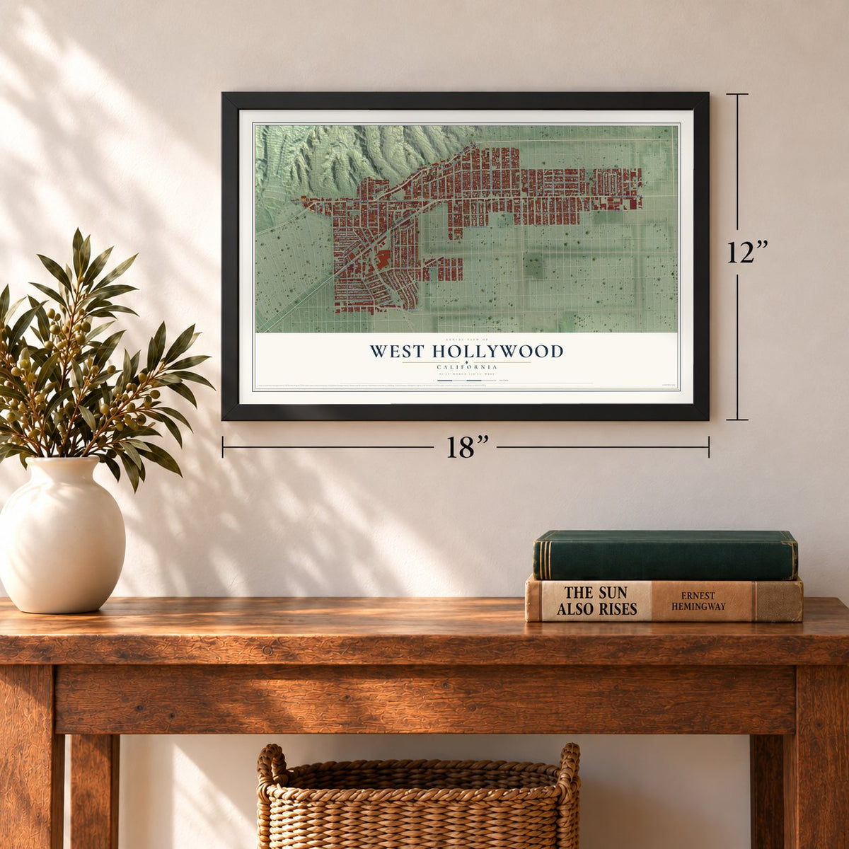
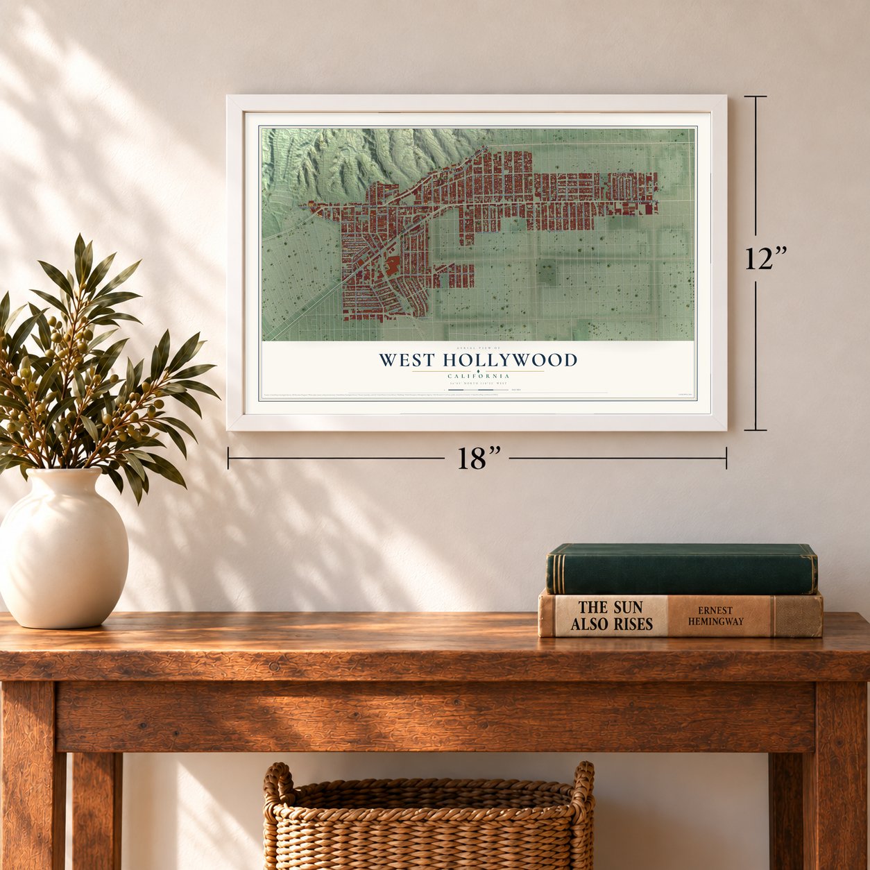
Unframed archival matte, a black wood frame or a white wood frame.
Up close
Geography Worth Displaying
This map was created using accurate cartographic data and authoritative geographic sources, including the U.S. Geological Survey and the Census Bureau. The map brings together terrain, waterways, roads, and building detail. The majority of the streets are labeled, houses are accurately depicted, and the topography is derived from government sources. Combining local data with carefully composed color and shading leads to this beautifully detailed West Hollywood artwork for your wall.
Rather than simply showing street outlines, we’ve included as many of the street names as we could reasonably fit on the map while keeping their names legible. Zoom in on the high resolution preview to see exactly what’s on the map. We truly set out to create a statement piece for anyone who loves West Hollywood. So whether it’s for you, or a gift for someone you love, we hope this map of West Hollywood brings back fond memories.
Read the story behind this map of West Hollywood, California from 2026.
Find your street
Names on the West Hollywood map
Every name below is printed on this map. Look for your street, your school, the park where you played, or the pond down the road.
Places and landmarks2
- West Hollywood City Hall
- Crescent
Streets and roads103
- West Sunset Boulevard
- Sunset Boulevard
- West Santa Monica Boulevard
- Santa Monica Boulevard
- North Fairfax Avenue
- North Croft Avenue
- West Knoll Drive
- West Romaine Street
- West Beverly Boulevard
- North Crescent Heights Boulevard
- West Doheny Road
- North Almont Drive
- North Hancock Avenue
- North San Vicente Boulevard
- West Holloway Drive
- North Vista Street
- West Willoughby Avenue
- West Hampton Avenue
- West Fountain Avenue
- West Rosewood Avenue
- North Doheny Drive
- North Sweetzer Avenue
- West Melrose Avenue
- West Norton Avenue
- North Kings Road
- North Westbourne Avenue
- North Huntley Drive
- North Westmount Drive
- North Harper Avenue
- North Havenhurst Drive
Show all 103 streets
- North Hayworth Avenue
- North Robertson Boulevard
- North Larrabee Street
- Willoughby Avenue
- North Laurel Avenue
- North La Cienega Boulevard
- West Lexington Avenue
- Romaine Street
- North Flores Street
- North Ogden Drive
- North Genesee Avenue
- North Curson Avenue
- North Gardner Street
- North Orange Grove Avenue
- West Ashcroft Avenue
- North Hilldale Avenue
- West Cynthia Street
- North Poinsettia Place
- North Fuller Avenue
- North La Brea Avenue
- North Formosa Avenue
- North Palm Avenue
- West De Longpre Avenue
- West Clinton Street
- North Hammond Street
- West Keith Avenue
- North Olive Drive
- North Sherbourne Drive
- North Detroit Street
- North Sierra Bonita Avenue
- North La Jolla Avenue
- West Phyllis Street
- West Norma Place
- North Orlando Avenue
- West Lloyd Place
- West Dicks Street
- North Norwich Drive
- North Alta Loma Road
- North Greenacre Avenue
- North Poinsettia Drive
- West Vista Grande Street
- North Alfred Street
- North Clark Street
- North Horn Avenue
- West Rugby Drive
- North Spaulding Avenue
- West Dorrington Avenue
- West Rangely Avenue
- North Stanley Avenue
- North La Peer Drive
- West Harratt Street
- North Hacienda Place
- Ozeta Terrace
- West Bonner Drive
- North Willey Lane
- West Shoreham Drive
- North Edinburgh Avenue
- North Martel Avenue
- West Phyllis Avenue
- North Carol Drive
- North Cory Avenue
- West Beverly Place
- West Nemo Street
- Fountain Avenue
- West Elevado Avenue
- West Harrat Street
- North Hancock Drive
- North Miller Drive
- West Sherwood Drive
- North Westbourne Drive
- West Harland Avenue
- Holloway Plaza Drive
- North Clark Drive
Names are listed as they appear on the printed map. Zoom into the product photos to find them.
About West Hollywood, California
West Hollywood is a city of 35,757 people in Los Angeles County, set between Los Angeles and Beverly Hills, and it has never belonged to Hollywood. The Tongva lived here long before Europeans came. In August 1769 the Portolá expedition crossed the basin and gathered pitch from tar seeps nearby to seal its gear. By 1780 the road that became the Sunset Strip linked the pueblo of Los Angeles with ranches out to the Pacific. Most of the land was part of Rancho La Brea, and the Hancock family later owned it.
Near the end of the nineteenth century, Moses Sherman and his partners in the Los Angeles Pacific Railroad founded the town of Sherman. The line kept its main shops, yards and car barns there, so many railroad workers made their homes nearby. Sherman turned down several tries to join Los Angeles, and in 1925 it took the name West Hollywood, first used by a local realty board. In 1984, with county rent control about to end, gay men, Russian Jews and older residents joined forces and voted to make it a city. The new council, with an openly gay majority, quickly passed strict rent control.
- Casinos on the StripGambling was against the law in the city of Los Angeles but still allowed in the county. In the 1920s casinos and nightclubs spread along Sunset Boulevard, out of reach of the Los Angeles police. Movie people liked the looser rules, and builders put up striking apartment buildings and hotels for them.
- Body piercing starts hereJim Ward opened The Gauntlet in his West Hollywood home in 1975. It is counted as the first piercing business in the country. In 1978 it moved into its first shop, at 8720 Santa Monica Boulevard, and the body piercing industry grew from there.
- Home of a pride paradeChristopher Street West began in Hollywood in June 1970 to mark a year since the Stonewall Riots. After West Hollywood became a city, the parade moved here and ran for many years on the second weekend of June. It went back to Los Angeles in 2022.
Keep exploring California
West Hollywood is one of 1,990 California towns we've mapped. Every dot on the map is a print of its own.
The search covers every state, California first.
Near West Hollywood
Order 2 or more town maps and save 10%. Shown in the size and finish you picked above, so they hang as a set.
- Beverly Hills 12" x 18" / Archival Matte Print $39.99
- Hollywood Hills West 12" x 18" / Archival Matte Print $39.99
- Studio City 12" x 18" / Archival Matte Print $39.99
More maps nearby: Westwood, West Adams, Toluca Lake, Palms and Los Feliz.
The art of mapping a place
How This Map Was Made
Real places. Remarkable detail. Discover the layers that turn geographic data into a map of home.

The view from above
Aerial imagery reveals the character of the land: woodland, open fields, and the patterns of a place.

The shape of the land
Elevation data brings hills, valleys, and subtle changes in the landscape into view.

The details of home
Roads, waterways, and building footprints come together to make the map feel unmistakably local.

Geography becomes art
Considered color, shading, and typography bring the layers together in a map made for your wall.


Process illustrated with Mendon, Massachusetts. Aerial imagery: USDA NAIP. Terrain: USGS 3D Elevation Program. Map details and finished artwork: KNOWOL.
The Details
About This Print
Choose an archival matte print, or a black or white Ayous wood frame. The archival matte print is unframed.
Select your size and finish above to see the matching product image and price.
Materials & Craftsmanship
A contemporary map with the character of a classic atlas, printed on archival matte paper. Optional frames are made from Ayous wood.
Your printed map does not include the watermark shown in the full-map preview.
Shipping & Delivery
Free shipping within the United States. Every print is made to order in the USA.
Buying a gift? Add a note in your cart and we'll include it. We never put prices in the package.
Prints ship within 2 to 3 business days. Allow 7 to 10 days total from ordering for delivery. Timing may vary during holidays or periods of high order volume.
Read our shipping policy.
Returns and damaged prints
Each print is made to order. Change-of-mind refunds are not available after production.
If your print arrives damaged, misprinted or incorrect, contact support@knowol.com within 30 days of receiving it. Include your order number, photos and a description of the issue.
Read our full refund and replacement policy. For questions about your order, email support@knowol.com.