
Search for another town

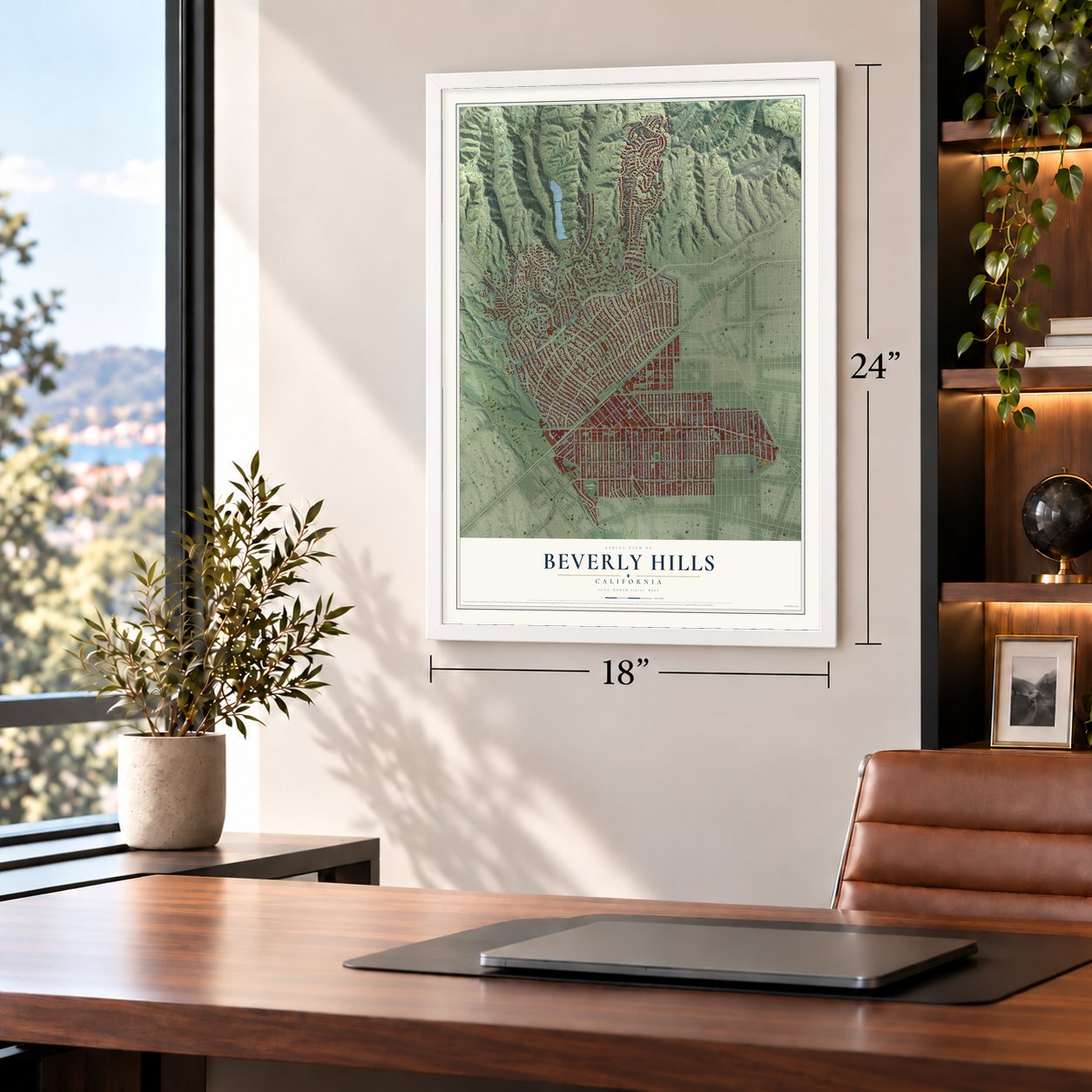
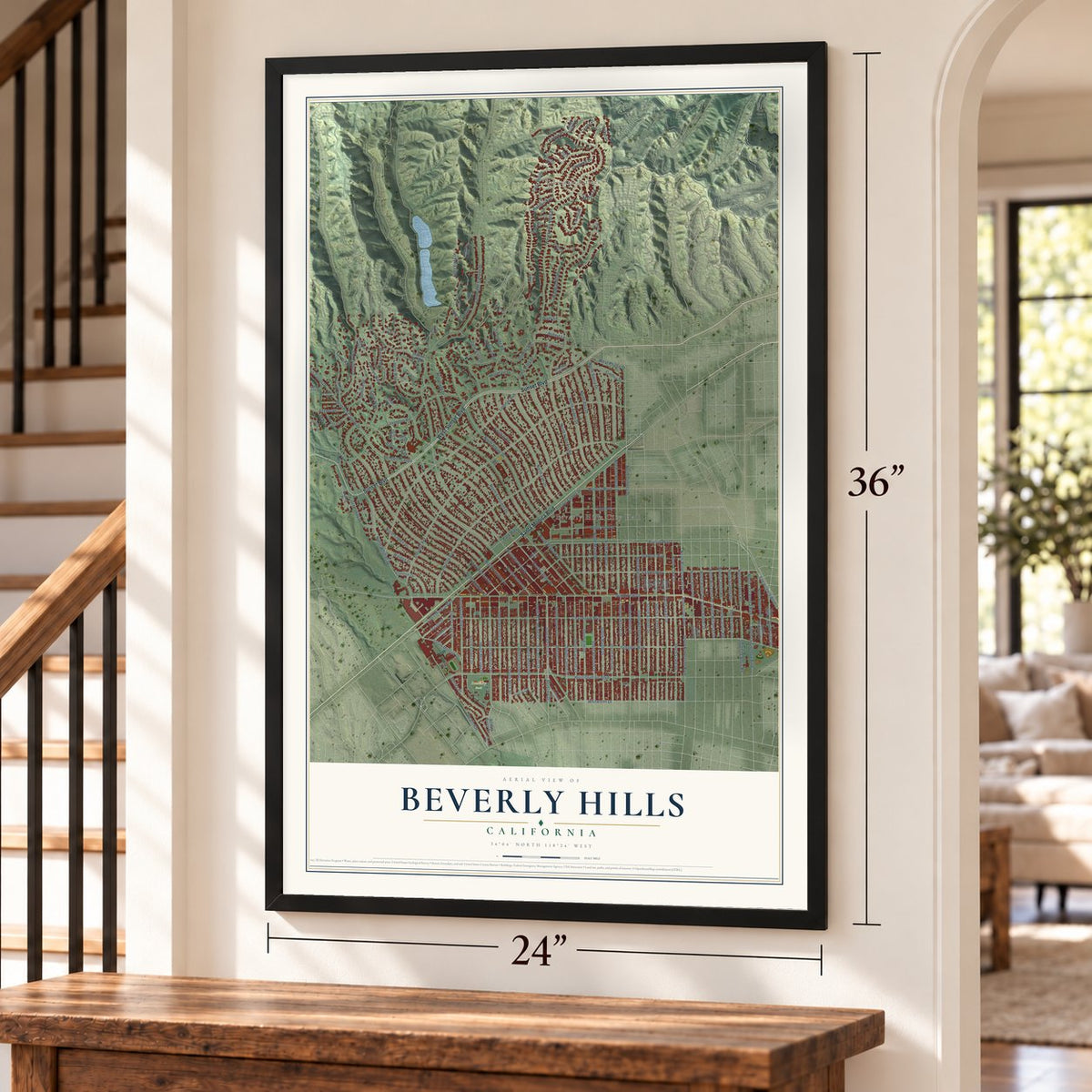
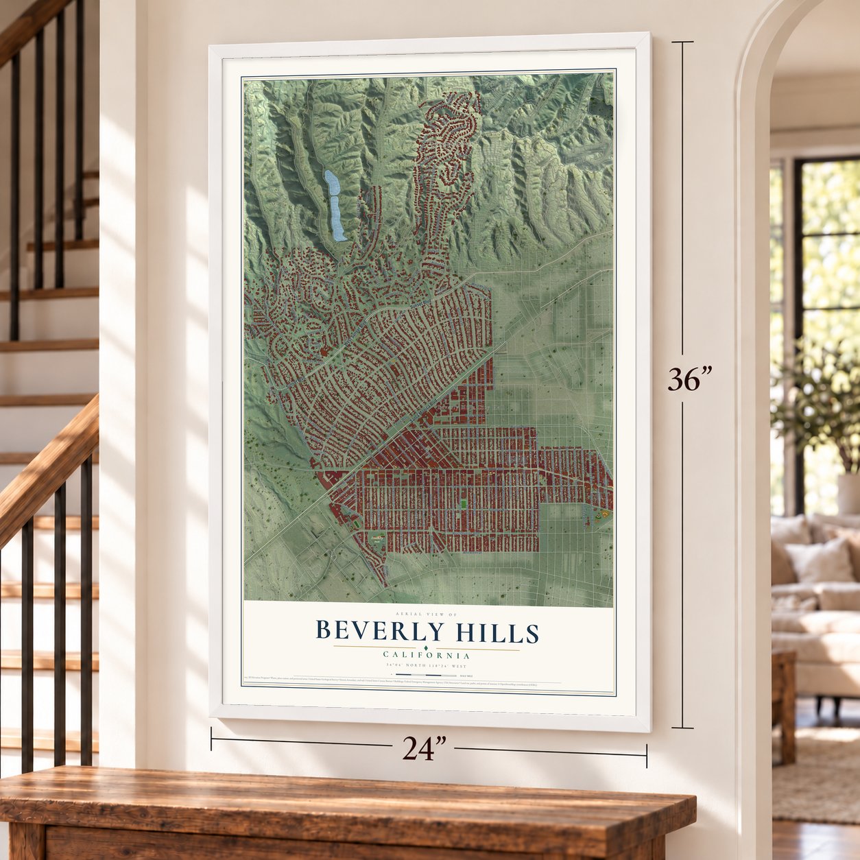

Free U.S. delivery 7 to 10 days after you order
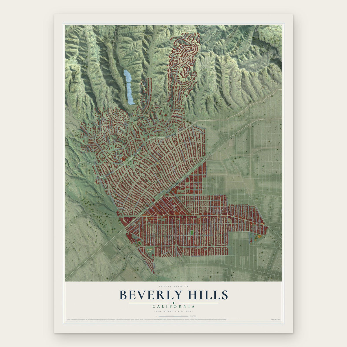
Beverly Hills, California Map Art
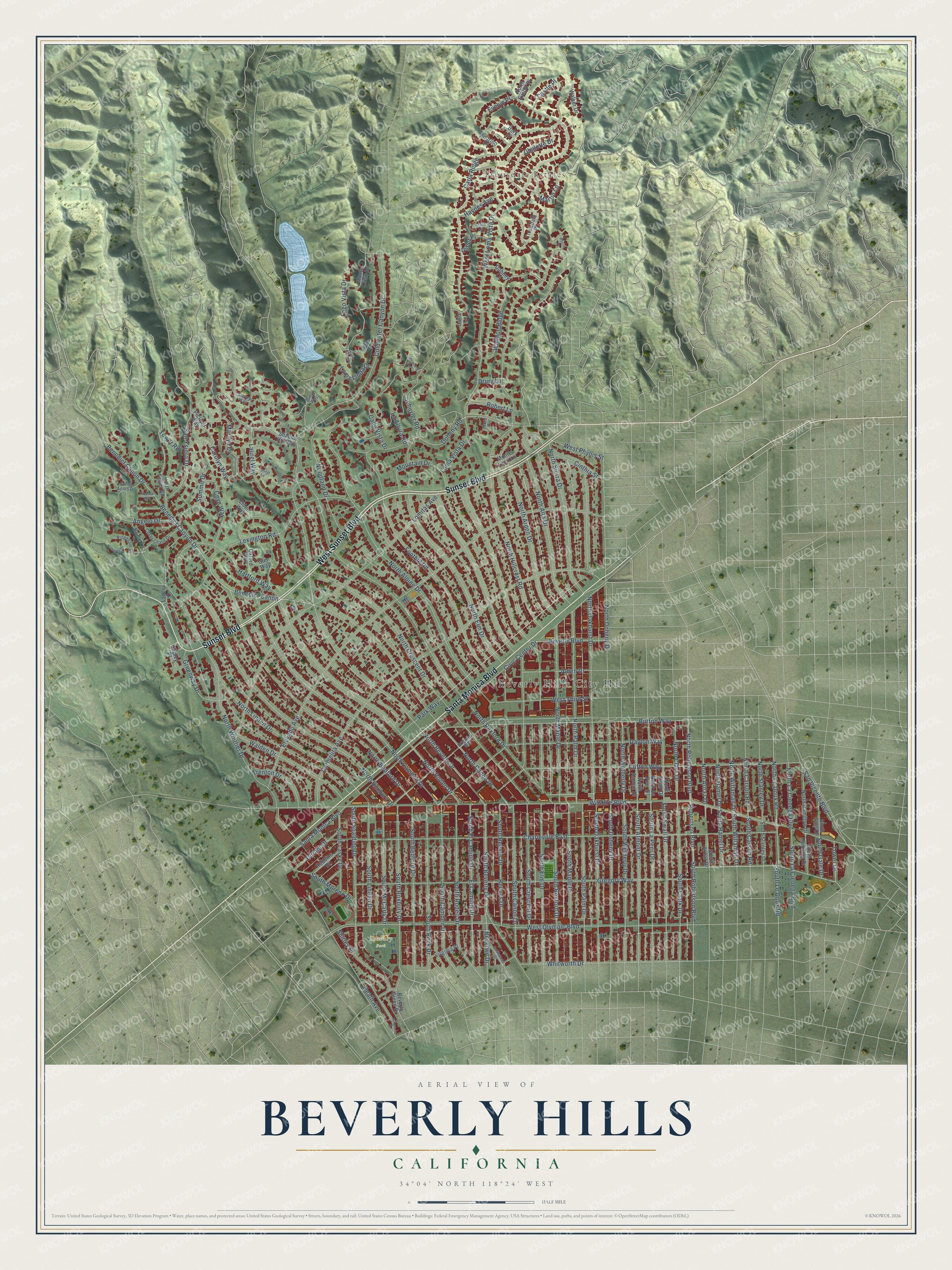
Building by building, with labeled streets and shaded relief.
12" x 18" Archival Matte Print
A Map of Home. A Work of Art.
Explore Beverly Hills, California from a whole new perspective. Created using aerial imagery and detailed geographic data, this map captures Beverly Hills building by building, with labeled streets, familiar landmarks, and shaded topographical relief that highlights the natural contours of the landscape.
Combining modern data with the timeless character of a vintage atlas, this map is just as interesting up close as it is beautiful on the wall. Whether you grew up in Beverly Hills, spent memorable years there, or call it home today, this unique map is a great way to celebrate a place that means something to you. Zoom in on the preview to look for your street, and then order a print to put your memories on the wall.
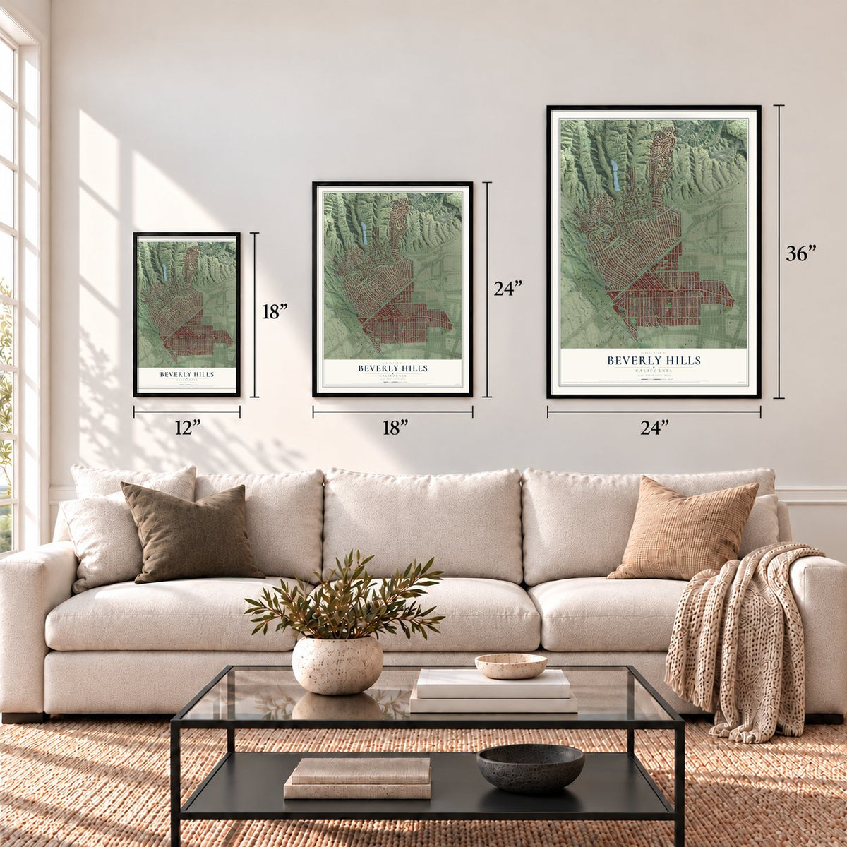
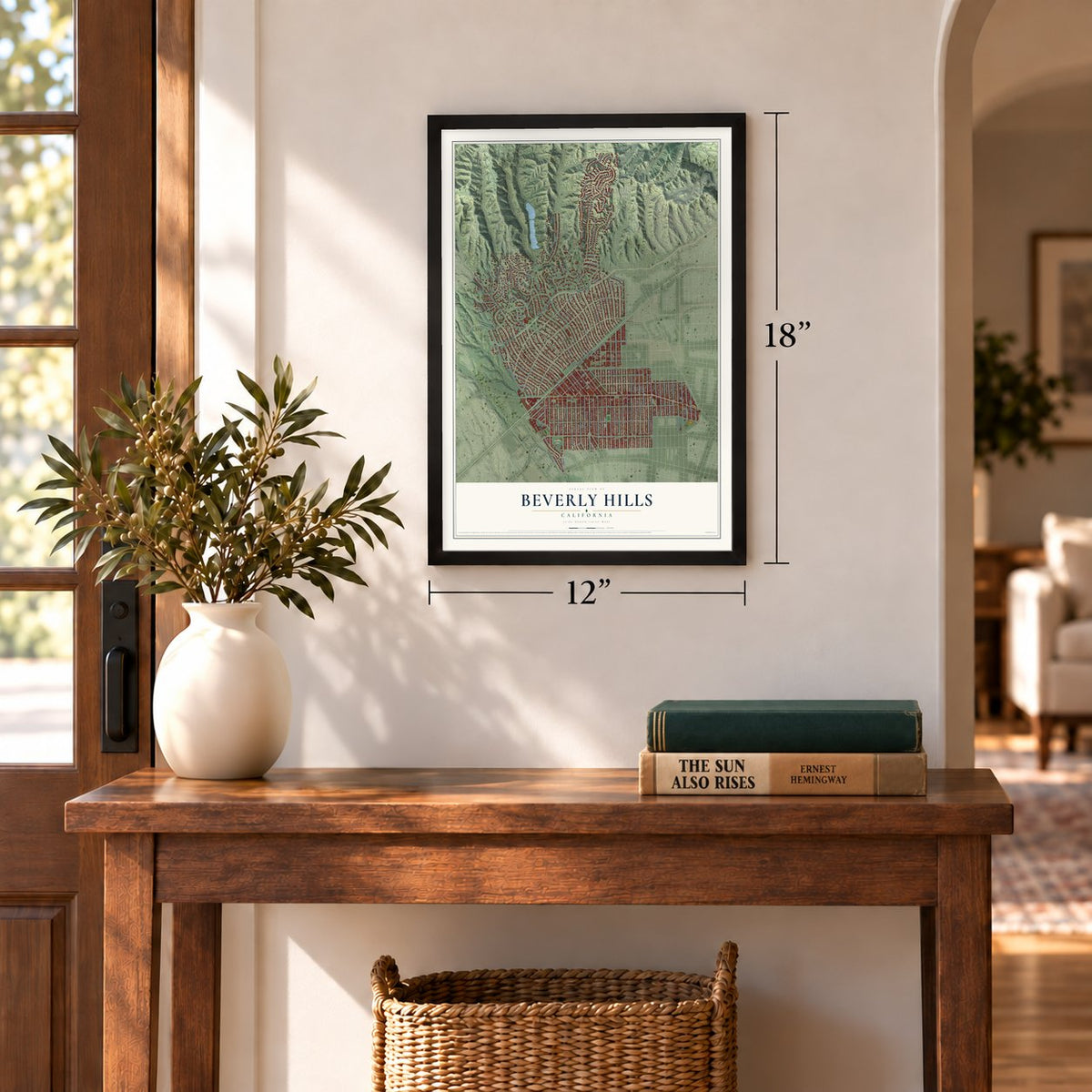
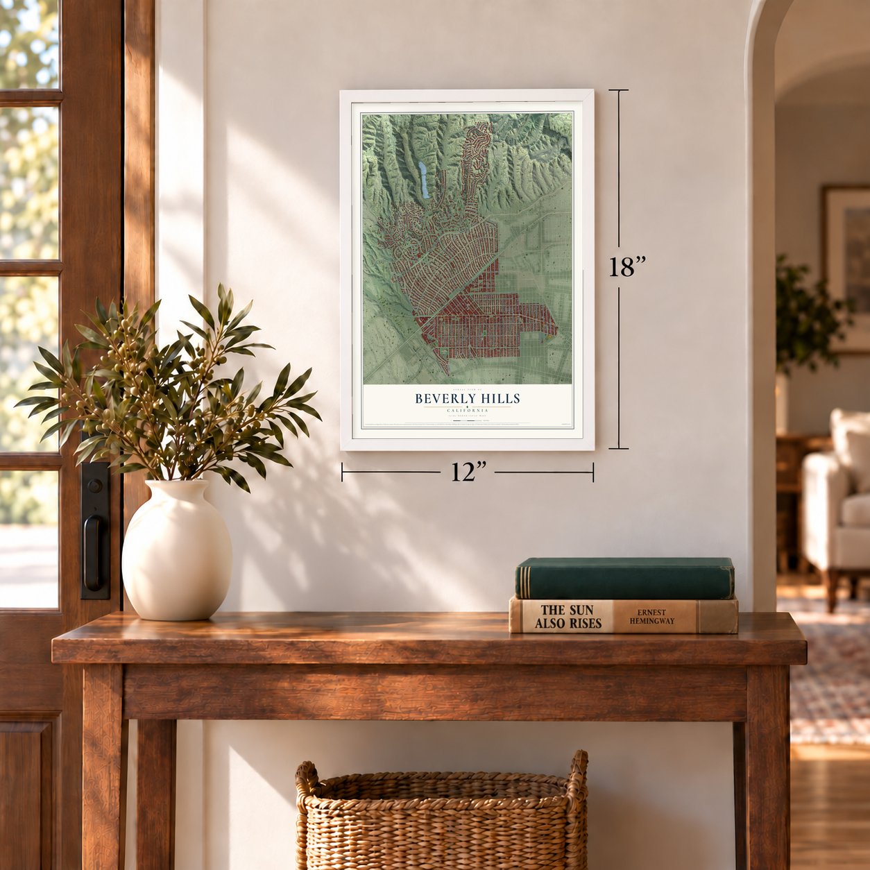
Three ways to hang it
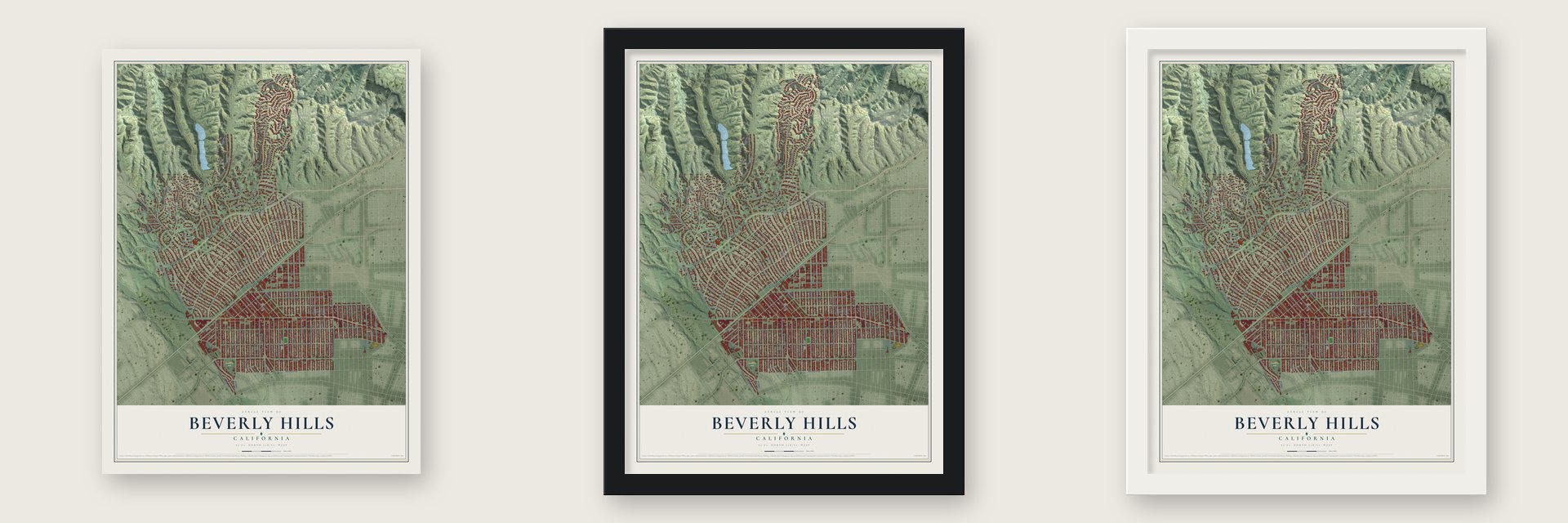
Unframed archival matte, a black wood frame or a white wood frame.
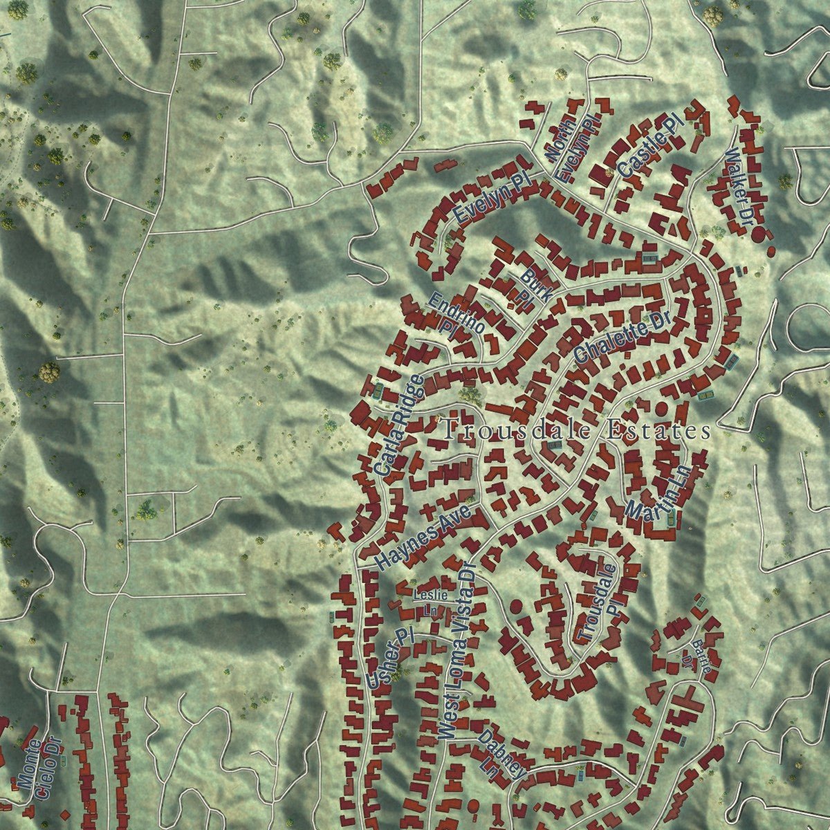
Up close
Geography Worth Displaying
This map was created using accurate cartographic data and authoritative geographic sources, including the U.S. Geological Survey and the Census Bureau. The map brings together terrain, waterways, roads, and building detail. The majority of the streets are labeled, houses are accurately depicted, and the topography is derived from government sources. Combining local data with carefully composed color and shading leads to this beautifully detailed Beverly Hills artwork for your wall.
Rather than simply showing street outlines, we’ve included as many of the street names as we could reasonably fit on the map while keeping their names legible. Zoom in on the high resolution preview to see exactly what’s on the map. We truly set out to create a statement piece for anyone who loves Beverly Hills. So whether it’s for you, or a gift for someone you love, we hope this map of Beverly Hills brings back fond memories.
Read the story behind this map of Beverly Hills, California from 2026.
Find your street
Names on the Beverly Hills map
Every name below is printed on this map. Look for your street, your school, the park where you played, or the pond down the road.
Places and landmarks3
- Beverly Hills City Hall
- Trousdale Estates
- Roxbury Park
Streets and roads177
- Sunset Boulevard
- West Sunset Boulevard
- Santa Monica Boulevard
- Gregory Way
- Robertson Boulevard
- Benedict Canon
- North Robertson Boulevard
- South Le Doux Road
- North Le Doux Road
- South Beverly Drive
- Doheny Road
- Benedict Canyon Drive
- North Beverly Drive
- North Rodeo Drive
- South Hamel Drive
- South Willaman Drive
- South Carson Road
- North Roxbury Drive
- South Almont Drive
- San Ysidro Drive
- Angelo Drive
- North Carson Road
- North Willaman Drive
- North Hamel Drive
- Wilshire Boulevard
- North Hillcrest Road
- Loma Vista Drive
- Elevado Avenue
- Charleville Boulevard
- North Crescent Drive
Show all 177 streets
- North Rexford Drive
- Carmelita Avenue
- Foothill Road
- West Olympic Boulevard
- North Palm Drive
- North Maple Drive
- North Alpine Drive
- North Oakhurst Drive
- Lomitas Avenue
- Carla Ridge
- Burton Way
- Clifton Way
- North Bedford Drive
- North Camden Drive
- North Canon Drive
- North Doheny Drive
- North Elm Drive
- Dayton Way
- North Whittier Drive
- Lexington Road
- Coldwater Canyon Drive
- North Linden Drive
- Summit Drive
- Laurel Way
- South Spalding Drive
- Tower Road
- Civic Center Drive
- Whitworth Drive
- West Loma Vista Drive
- North Alta Drive
- Lago Vista Drive
- North Sierra Drive
- South Rodeo Drive
- South Camden Drive
- Heath Avenue
- South Peck Drive
- El Camino Drive
- South El Camino Drive
- South Crescent Drive
- South Wetherly Drive
- South Palm Drive
- South Doheny Drive
- South Oakhurst Drive
- South Roxbury Drive
- South Maple Drive
- South Rexford Drive
- South Bedford Drive
- South Elm Drive
- South La Peer Drive
- South Swall Drive
- South Clark Drive
- South Robertson Boulevard
- North Arden Drive
- South Canon Drive
- Walden Drive
- Calle Vista Drive
- Woodland Drive
- Wallace Ridge
- Reeves Drive
- South Reeves Drive
- South Linden Drive
- South McCarty Drive
- Hartford Way
- Schuyler Road
- Benedict Canon Drive
- West Third Street
- San Vicente Boulevard
- Chalette Drive
- Mountain Drive
- South La Cienega Boulevard
- South Moreno Drive
- North Clark Drive
- North Wetherly Drive
- South Lasky Drive
- Cove Way
- Beverly Boulevard
- Alden Drive
- Carolyn Way
- Evelyn Place
- Greenway Drive
- Loma Linda Drive
- Trenton Drive
- North La Cienega Boulevard
- Marilyn Drive
- North Stanley Drive
- Martin Lane
- Durant Drive
- Cinthia Street
- La Altura Road
- West Phyllis Street
- Park Way
- North Arnaz Drive
- Robert Lane
- Haynes Avenue
- Beverwil Drive
- South Gale Drive
- Tower Drive
- Castle Place
- Usher Place
- Shirley Place
- Drury Lane
- Dabney Lane
- Shadow Hill Way
- Trousdale Place
- North Swall Drive
- North La Peer Drive
- North Almont Drive
- North Tower Road
- Monte Cielo Drive
- North Hamilton Drive
- Glen Way
- South Arnaz Drive
- South Stanley Drive
- South Hamilton Drive
- North Gale Drive
- Oxford Way
- Robbins Drive
- Bridle Lane
- Virginia Place
- Monte Leon Lane
- Endrino Place
- North Evelyn Place
- Walker Drive
- Beverly Green Drive
- Copley Place
- Ladera Drive
- Pickfair Way
- Elden Way
- Carla Lane
- Burk Place
- Brighton Way
- Ridgedale Drive
- Chevy Chase Drive
- Green Acres Drive
- Sutton Way
- Steven Way
- Cord Circle
- Hillgreen Drive
- Miradero Road
- Hanover Drive
- Smithwood Drive
- Cabrillo Drive
- Laurel Lane
- Leslie Lane
- Tropical Avenue
- Lago Vista Place
- Barrie Drive
Names are listed as they appear on the printed map. Zoom into the product photos to find them.
About Beverly Hills, California
Beverly Hills is a city of 32,701 people in Los Angeles County. Together with West Hollywood, it sits inside the city of Los Angeles, which rings it on every side. The Tongva lived here first. In 1828 María Rita Quinteros de Valdez settled here with her husband on a 4,500-acre ranch they called Rancho Rodeo de las Aguas, and in 1854 she sold it to Benjamin Davis Wilson and Henry Hancock.
By the 1880s the ranch had been cut into 75-acre parcels, and Henry Hammel and Andrew H. Denker bought most of them to grow lima beans. In 1900 a group of investors bought their ranch to drill for oil, but they found too little to pay. They reorganized in 1906 as the Rodeo Land and Water Company and began selling lots. They named the land Beverly Hills for its hills and for Beverly Farms in Massachusetts. Sales were slow until Burton Green finished the Beverly Hills Hotel in 1912. Its guests bought land, and in 1914 Beverly Hills became a city.
“No expense is being spared to make this a fine suburban district.”
- Movie stars kept it separateIn 1919 Mary Pickford and Douglas Fairbanks purchased property on Summit Drive, and when their mansion was done in 1921, newspapers called it Pickfair. As the town grew, its water supply became a political fight, and in 1923 a plan to join Los Angeles was put forward. Pickford, Fairbanks, Will Rogers and Rudolph Valentino stood against it. The Beverly Hills Utility Commission forced a special election, and voters defeated the plan, 337 to 507.
- Greystone, a 55-room giftEdward L. Doheny, who made his fortune in oil, finished Greystone Mansion in 1928 and gave it to his son, Edward L. Doheny Jr., when he married. The 55-room house now belongs to the city of Beverly Hills.
- The covenant caseBeverly Hills began as a whites-only town, with deed rules that also barred selling or renting to Jews. In the early 1940s Black actors and businessmen moved in anyway, and a neighborhood association sued them. Hattie McDaniel, Louise Beavers and Ethel Waters were among the defendants. With help from the NAACP they won, and in 1948 the U.S. Supreme Court ruled such covenants unenforceable in Shelley v. Kraemer.
- Trousdale Estates from 1956Paul Trousdale bought the Doheny Ranch in 1956 and persuaded the city to annex it. He built the 410-acre neighborhood of large homes mostly in the 1950s and early 1960s. Elvis Presley, Frank Sinatra, Dean Martin, Ray Charles and President Richard Nixon all lived there.
Keep exploring California
Beverly Hills is one of 1,990 California towns we've mapped. Every dot on the map is a print of its own.
The search covers every state, California first.
Near Beverly Hills
Order 2 or more town maps and save 10%. Shown in the size and finish you picked above, so they hang as a set.
- West Hollywood 12" x 18" / Archival Matte Print $39.99
- Westwood 12" x 18" / Archival Matte Print $39.99
- Palms 12" x 18" / Archival Matte Print $39.99
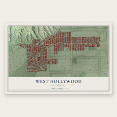
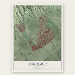
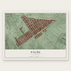
More maps nearby: Studio City, Los Angeles, West Adams, Hollywood Hills West and Mar Vista.
The art of mapping a place
How This Map Was Made
Real places. Remarkable detail. Discover the layers that turn geographic data into a map of home.

The view from above
Aerial imagery reveals the character of the land: woodland, open fields, and the patterns of a place.

The shape of the land
Elevation data brings hills, valleys, and subtle changes in the landscape into view.

The details of home
Roads, waterways, and building footprints come together to make the map feel unmistakably local.

Geography becomes art
Considered color, shading, and typography bring the layers together in a map made for your wall.


Process illustrated with Mendon, Massachusetts. Aerial imagery: USDA NAIP. Terrain: USGS 3D Elevation Program. Map details and finished artwork: KNOWOL.
The Details
About This Print
Choose an archival matte print, or a black or white Ayous wood frame. The archival matte print is unframed.
Select your size and finish above to see the matching product image and price.
Materials & Craftsmanship
A contemporary map with the character of a classic atlas, printed on archival matte paper. Optional frames are made from Ayous wood.
Your printed map does not include the watermark shown in the full-map preview.
Shipping & Delivery
Free shipping within the United States. Every print is made to order in the USA.
Buying a gift? Add a note in your cart and we'll include it. We never put prices in the package.
Prints ship within 2 to 3 business days. Allow 7 to 10 days total from ordering for delivery. Timing may vary during holidays or periods of high order volume.
Read our shipping policy.
Returns and damaged prints
Each print is made to order. Change-of-mind refunds are not available after production.
If your print arrives damaged, misprinted or incorrect, contact support@knowol.com within 30 days of receiving it. Include your order number, photos and a description of the issue.
Read our full refund and replacement policy. For questions about your order, email support@knowol.com.