
Search for another town




Free U.S. delivery 7 to 10 days after you order
West Linn, Oregon Map Art
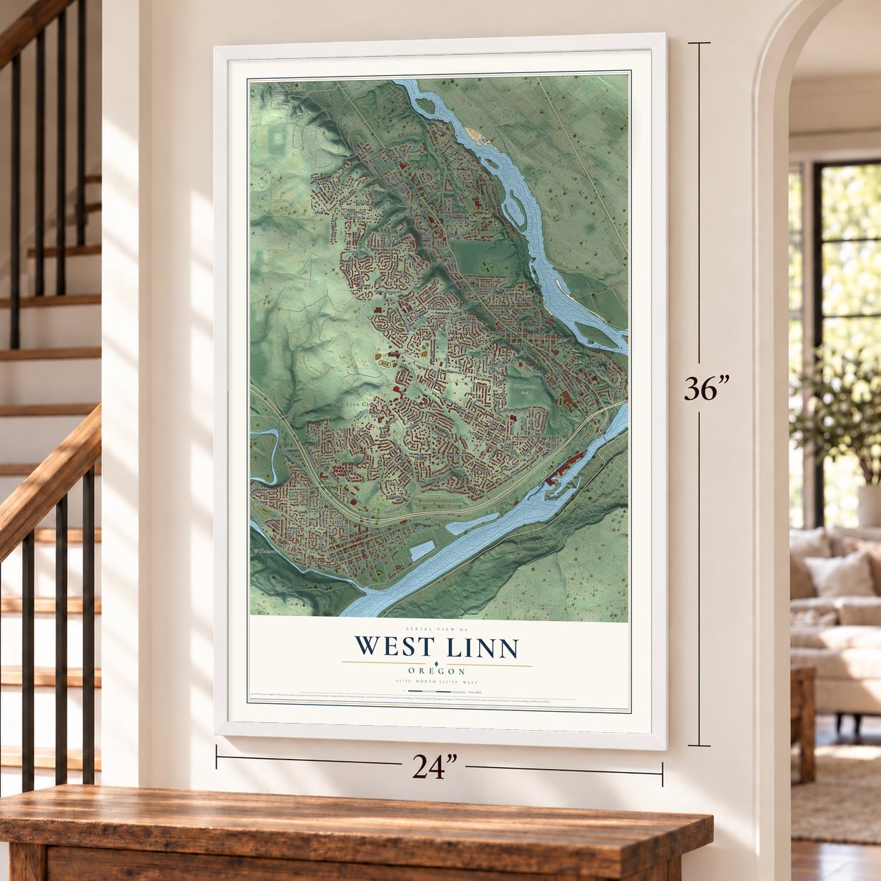
A new map of West Linn, Oregon, made in 2026 and printed to order on thick archival matte paper.
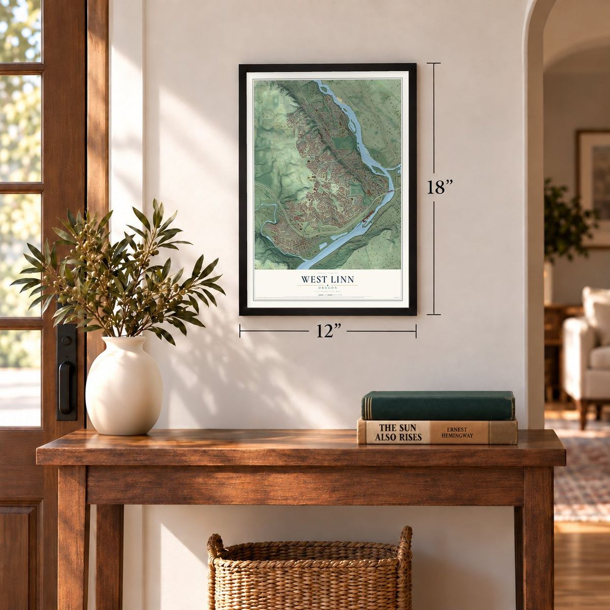
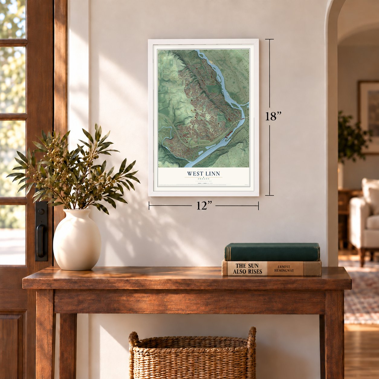
12" x 18" Archival Matte Print
A Map of Home. A Work of Art.
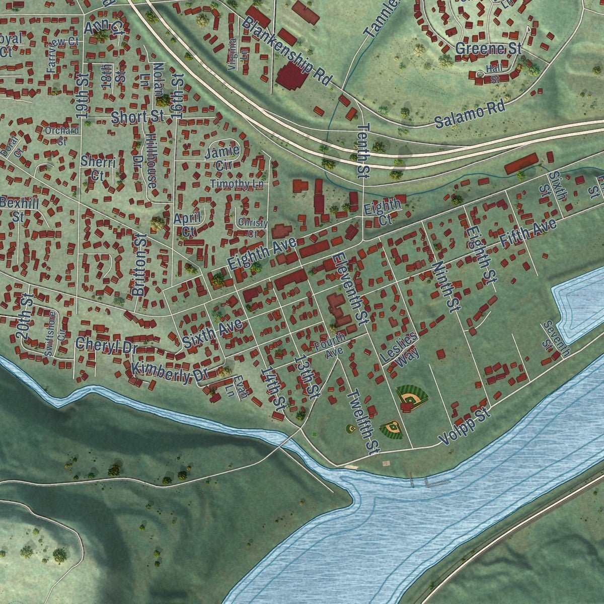
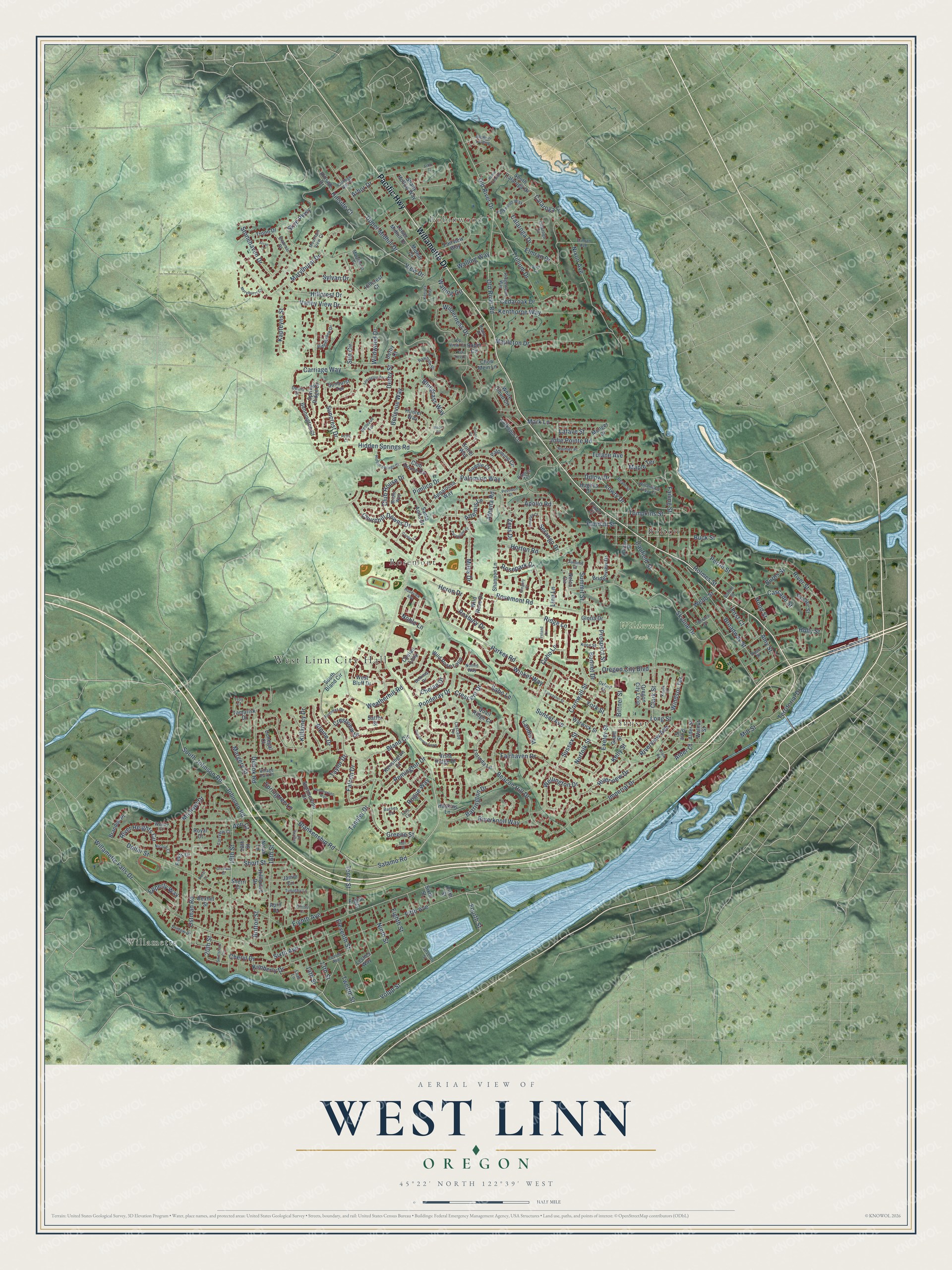
Explore West Linn, Oregon from a whole new perspective. Created using aerial imagery and detailed geographic data, this map captures West Linn building by building, with labeled streets, familiar landmarks, and shaded topographical relief that highlights the natural contours of the landscape.
Combining modern data with the timeless character of a vintage atlas, this map is just as interesting up close as it is beautiful on the wall. Whether you grew up in West Linn, spent memorable years there, or call it home today, this unique map is a great way to celebrate a place that means something to you. Zoom in on the preview to look for your street, and then order a print to put your memories on the wall.
Three ways to hang it
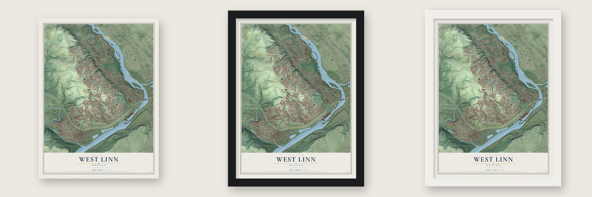
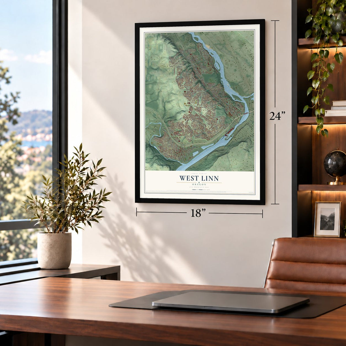
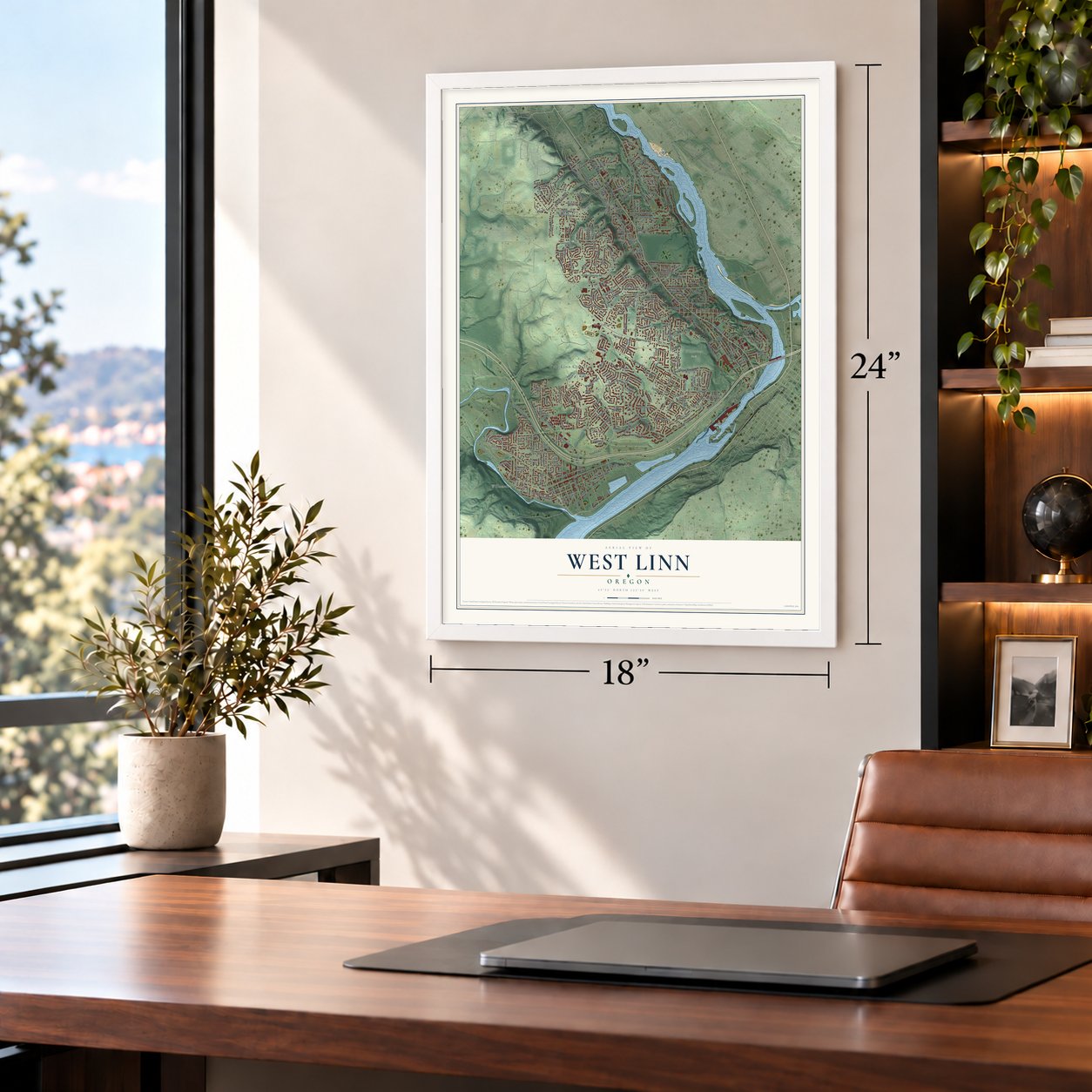
Unframed archival matte, a black wood frame or a white wood frame.
Up close
Geography Worth Displaying
This map was created using accurate cartographic data and authoritative geographic sources, including the U.S. Geological Survey and the Census Bureau. The map brings together terrain, waterways, roads, and building detail. The majority of the streets are labeled, houses are accurately depicted, and the topography is derived from government sources. Combining local data with carefully composed color and shading leads to this beautifully detailed West Linn artwork for your wall.
Rather than simply showing street outlines, we’ve included as many of the street names as we could reasonably fit on the map while keeping their names legible. Zoom in on the high resolution preview to see exactly what’s on the map. We truly set out to create a statement piece for anyone who loves West Linn. So whether it’s for you, or a gift for someone you love, we hope this map of West Linn brings back fond memories.
Read the story behind this map of West Linn, Oregon from 2026.

Find your street
Names on the West Linn map
Every name below is printed on this map. Look for your street, your school, the park where you played, or the pond down the road.
Places and landmarks7
- West Linn City Hall
- Willamette
- Robinwood
- Wilderness Park
- Bolton
- Rosemont
- Sunset
Streets and roads292
- Pacific Highway
- Willamette Drive
- Salamo Road
- Parker Road
- Volpp Street
- Windsor Terrace
- Fourth Street
- Willamette Falls Drive
- Rosemont Road
- Hidden Springs Road
- Marylhurst Drive
- Carriage Way
- Summit Street
- Sunset Avenue
- Old River Drive
- Old River Road
- Bland Circle
- Dollar Street
- Beacon Hill Drive
- Fifth Avenue
- 19th Street
- Wildwood Drive
- Skyline Drive
- Suncrest Drive
- Pimlico Drive
- View Drive
- Blankenship Road
- Arbor Drive
- Horton Road
- Broadway Street
Show all 292 streets
- Mapleton Drive
- 13th Street
- Ostman Road
- Ridge Lane
- Tenth Street
- Imperial Drive
- Nixon Avenue
- Apollo Road
- Cedaroak Drive
- Clark Street
- Fairhaven Drive
- River Street
- Hillcrest Drive
- Calaroga Drive
- Buck Street
- Johnson Road
- Winkel Way
- Skye Parkway
- Debok Road
- 16th Street
- Tannler Drive
- Upper Midhill Drive
- Killarney Drive
- Kenthorpe Way
- Palomino Way
- Elmran Drive
- Valley View Drive
- Greene Street
- Dillow Drive
- Derby Street
- Stonehaven Drive
- Trillium Drive
- Chelan Drive
- Twelfth Street
- Wilderness Drive
- Remington Drive
- Sussex Street
- South Johnson Road
- Alpine Drive
- Bellevue Way
- Weatherhill Road
- Eleventh Street
- Cornwall Street
- Failing Street
- Churchill Downs Drive
- Eighth Avenue
- Barrington Drive
- Sabo Lane
- Ninth Street
- Mark Lane
- Jolie Pointe Road
- Roxbury Drive
- Riverview Drive
- Wellington Drive
- Crestview Drive
- Exeter Street
- 14th Street
- Rogue Way
- Sixth Avenue
- Norfolk Street
- Holmes Street
- Tompkins Street
- Burns Street
- Riverknoll Way
- Sun Circle
- Rosepark Drive
- River Heights Circle
- Falcon Drive
- Ponderay Drive
- Michael Drive
- Caufield Street
- Randall Street
- Oregon City Boulevard
- Long Street
- Eighth Street
- Miles Drive
- Short Street
- Perrin Street
- Kapteyns Street
- Coho Lane
- Serango Drive
- York Street
- Sylvan Drive
- Riverview Avenue
- Holly Street
- Club House Drive
- Margery Street
- Mill Street
- Kimberly Drive
- Noble Lane
- Cheryl Drive
- Territorial Drive
- Prospect Street
- Hood Street
- Walling Way
- Tulane Avenue
- Bluegrass Way
- Lowry Drive
- Walling Circle
- Crescent Drive
- Artemis Lane
- Springtree Lane
- First Court
- Webb Street
- Lafave Street
- Epperly Way
- Heron Drive
- Cascade Street
- Zeus Drive
- Calaroga Court
- Maple Terrace
- Landis Street
- Britton Street
- Kelly Street
- Athena Road
- Amy Street
- Bonnet Drive
- Taylor Drive
- Hillside Court
- Linn Lane
- Bittner Street
- 20th Street
- Alder Court
- Ann Court
- Chelan Loop
- Santa Anita Drive
- Summerlinn Drive
- Shady Hollow Way
- Warwick Street
- South Bland Circle
- West Bluff Drive
- Fairview Way
- Troon Drive
- Lower Midhill Drive
- White Cloud Circle
- Sunburst Terrace
- Wild Rose Loop
- Jamie Circle
- Hunter Way
- Appaloosa Way
- Lorinda Lane
- Oregon City Loop
- Bennington Court
- Hillhouse Drive
- Midhill Circle
- Palomino Circle
- Bridgeview Drive
- South Calaroga Drive
- Wild Rose Drive
- Club House Circle
- Spring Ridge Drive
- Vista Ridge Drive
- Saddle Court
- Haskins Lane
- Shannon Lane
- Kensington Court
- Quail Ridge Court
- Satter Street
- Nolan Lane
- Robin Circle
- Bexhill Street
- Larkspur Lane
- Hughes Drive
- Brandon Place
- Tamarisk Drive
- Sinclair Street
- Donegal Court
- Hillside Drive
- Hillcrest Court
- Munger Drive
- Grant Street
- Fields Drive
- Gloria Drive
- Walnut Street
- Chow Mein Lane
- Nelco Circle
- Sherri Court
- Alder Street
- Sorrel Way
- Sixth Street
- Derby Court
- Fawn Court
- Leslies Way
- April Court
- Eighth Court
- Pine Street
- Royal Court
- 18th Street
- Fifth Street
- Cascade Terrace
- Barnes Circle
- Seventh Street
- Calaroga Circle
- Ridgebrook Drive
- Oxford Street
- Pimlico Terrace
- Ridgewood Way
- Fourth Avenue
- Barclay Street
- Terrace Drive
- Willamette View Court
- Rainier Place
- Parkwood Way
- Elmran Avenue
- Snidow Drive
- Evah Lane
- Buse Street
- Beam Street
- Belknap Drive
- Farrview Court
- Fircrest Drive
- Braemar Drive
- College Hill Place
- Robin Place
- Timothy Lane
- Nomie Way
- Village Park Place
- Rawhide Street
- Bellevue Terrace
- Marylhurst Court
- Knox Street
- Deana Drive
- Troy Court
- Nicole Court
- Summit Court
- Wendy Court
- Mountain View Court
- Bridle Way
- Top View Court
- Lois Lane
- Bolton Street
- Summerlinn Way
- Lancaster Street
- Hidden Springs Court
- Ponderosa Loop
- Marylhurst Circle
- Glen Terrace
- Hoodview Avenue
- Ireland Lane
- Swiftshore Circle
- Lexington Terrace
- Kantara Way
- Old River Landing
- Robin View Drive
- Peregrine Court
- Bronco Court
- Virginia Lane
- Arran Court
- Gregory Court
- Serango Court
- Christy Court
- Roan Circle
- Hall Street
- Poseidon Court
- Canter Lane
- Orchard Street
- Aztec Court
- Clark Road
- Oak Tree Court
- Kobuk Court
- Arbor Court
- Doral Court
Names are listed as they appear on the printed map. Zoom into the product photos to find them.
The art of mapping a place
How This Map Was Made
Real places. Remarkable detail. Discover the layers that turn geographic data into a map of home.

The view from above
Aerial imagery reveals the character of the land: woodland, open fields, and the patterns of a place.

The shape of the land
Elevation data brings hills, valleys, and subtle changes in the landscape into view.

The details of home
Roads, waterways, and building footprints come together to make the map feel unmistakably local.

Geography becomes art
Considered color, shading, and typography bring the layers together in a map made for your wall.


Process illustrated with Mendon, Massachusetts. Aerial imagery: USDA NAIP. Terrain: USGS 3D Elevation Program. Map details and finished artwork: KNOWOL.
The Details
About This Print
Choose an archival matte print, or a black or white Ayous wood frame. The archival matte print is unframed.
Select your size and finish above to see the matching product image and price.
Materials & Craftsmanship
A contemporary map with the character of a classic atlas, printed on archival matte paper. Optional frames are made from Ayous wood.
Your printed map does not include the watermark shown in the full-map preview.
Shipping & Delivery
Free shipping within the United States. Every print is made to order in the USA.
Buying a gift? Add a note in your cart and we'll include it. We never put prices in the package.
Prints ship within 2 to 3 business days. Allow 7 to 10 days total from ordering for delivery. Timing may vary during holidays or periods of high order volume.
Read our shipping policy.
Returns and damaged prints
Each print is made to order. Change-of-mind refunds are not available after production.
If your print arrives damaged, misprinted or incorrect, contact support@knowol.com within 30 days of receiving it. Include your order number, photos and a description of the issue.
Read our full refund and replacement policy. For questions about your order, email support@knowol.com.
Find your town
Looking for another city?
Find a map of home in our Oregon collection, or any town in the country.
Nearby
Maps of towns near West Linn
Know someone from one of these towns? Their map makes a great gift.
 Stafford
, Oregon
From $39.99See the map
 Jennings Lodge
, Oregon
From $39.99See the map
 Gladstone
, Oregon
From $39.99See the map
More maps nearby: Oregon City, Oak Grove, Oatfield, Johnson City and Lake Oswego.