
Search for another town




Free U.S. delivery 7 to 10 days after you order
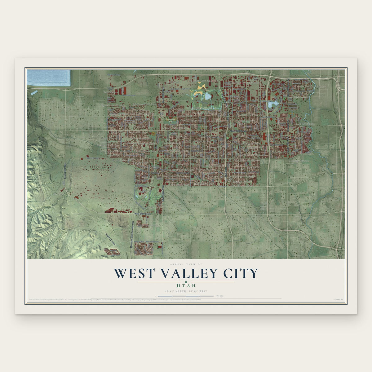
West Valley City, Utah Map Art
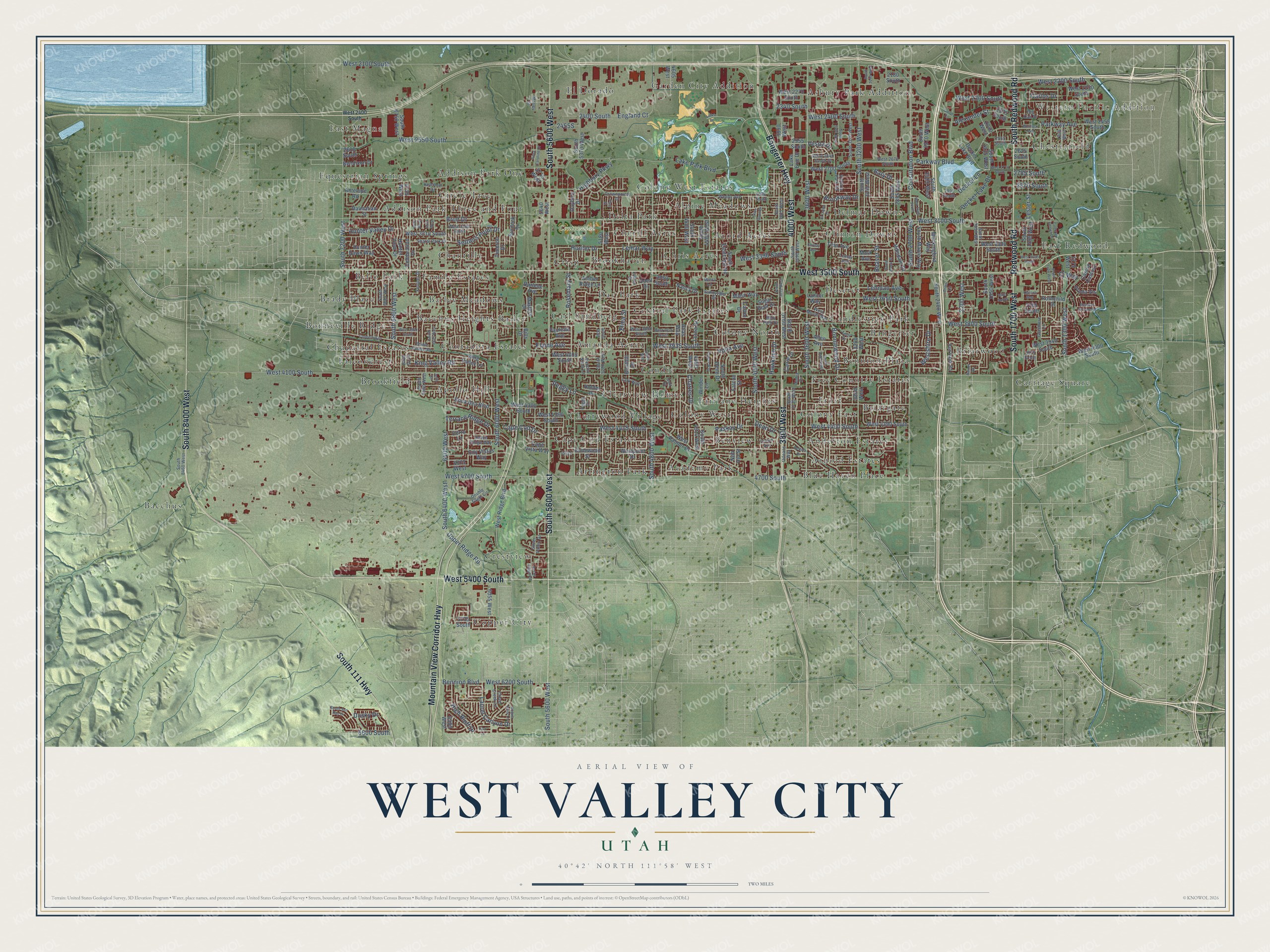
A new map of West Valley City, Utah, made in 2026 and printed to order on thick archival matte paper.
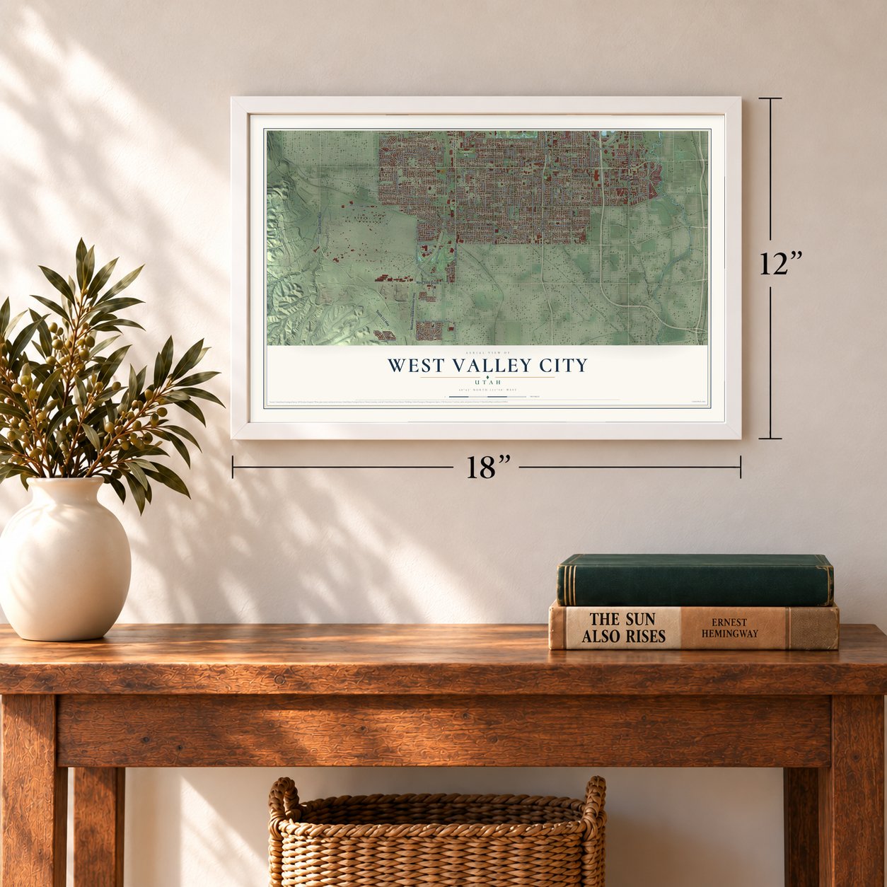
12" x 18" Archival Matte Print
A Map of Home. A Work of Art.
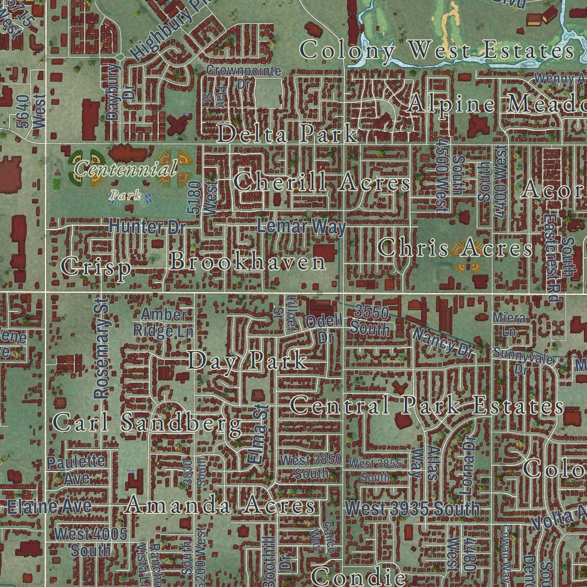
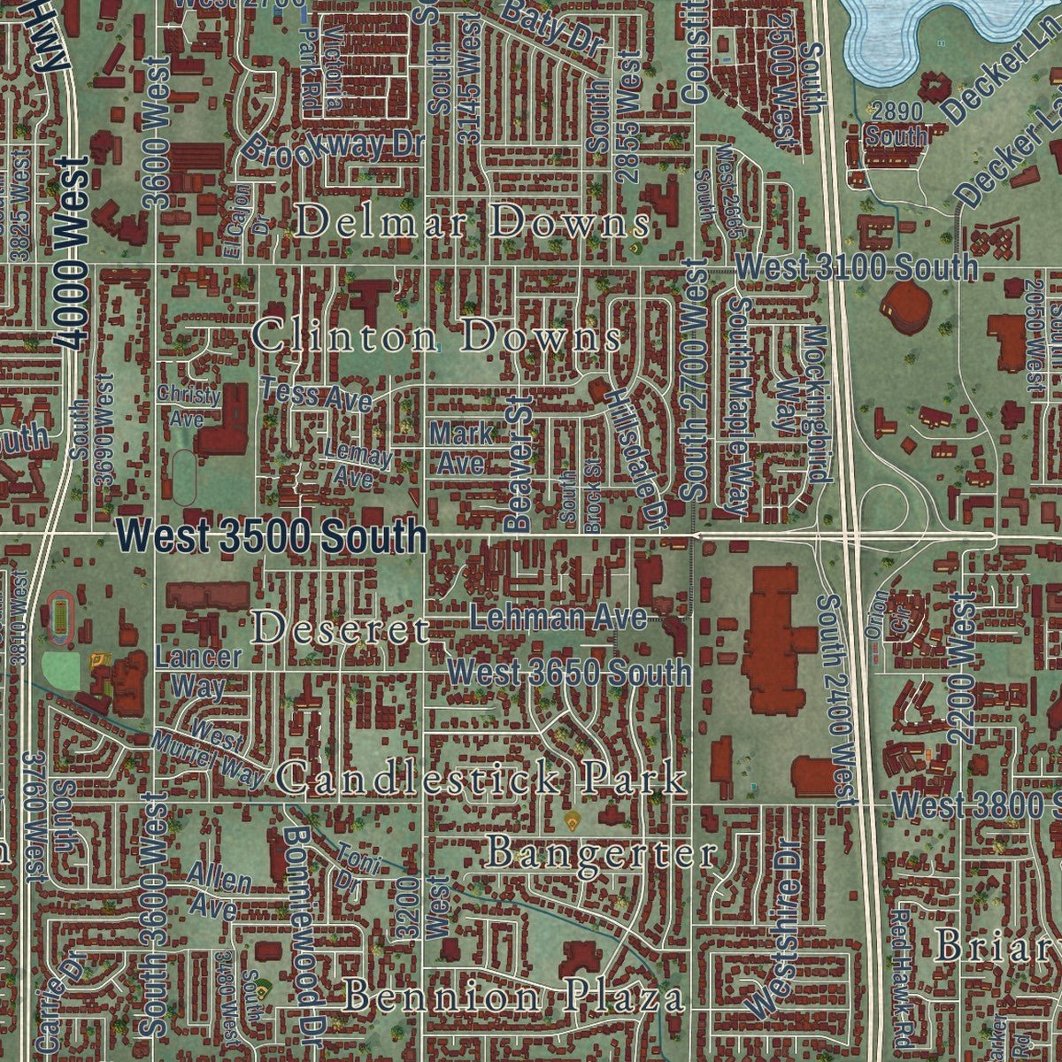
This beautifully detailed map of West Valley City, Utah was created in 2026 using aerial imagery combined with modern topographical, census, street and landmark data. It's a modern aerial view of West Valley City in Salt Lake County, Utah, that combines modern data with a vintage aesthetic. Zoom in on the preview and look for your block.
Three ways to hang it
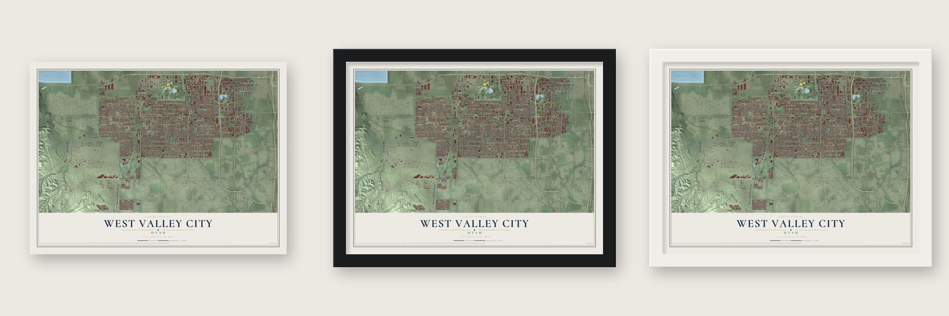
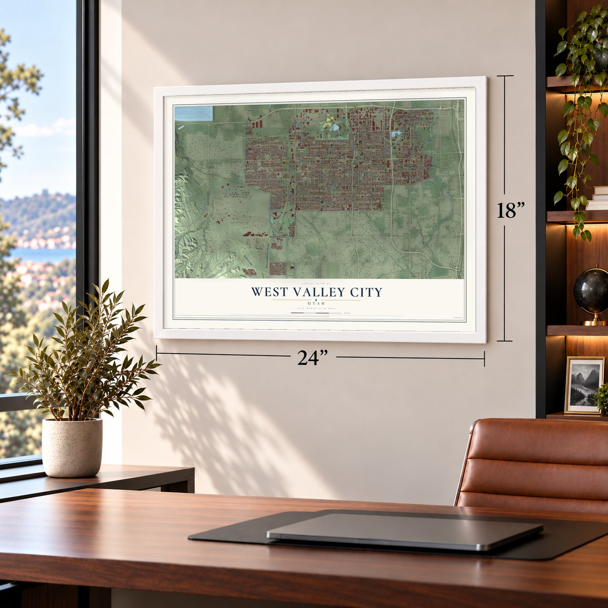
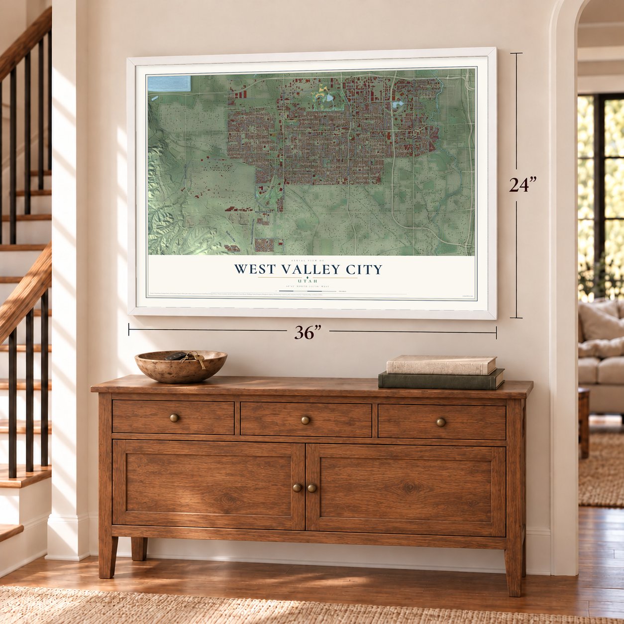
Unframed archival matte, a black wood frame or a white wood frame.
Up close
Real geography. Art worth displaying.
This map was created using accurate cartographic data and authoritative geographic sources, including the U.S. Geological Survey and the Census Bureau. The map brings together terrain, waterways, roads, and building detail. The majority of the streets are labeled, houses are accurately depicted, and the topography is derived from government sources. Combining local data with carefully composed color and shading leads to this beautifully detailed West Valley City artwork for your wall.
Rather than simply showing street outlines, we’ve included as many of the street names as we could reasonably fit on the map while keeping their names legible. Zoom in on the high resolution preview to see exactly what’s on the map. We truly set out to create a statement piece for anyone who loves West Valley City. So whether it’s for you, or a gift for someone you love, we hope this map of West Valley City brings back fond memories.
Read the story behind this map of West Valley City, Utah from 2026.

About West Valley City, Utah
West Valley City is a city of 140,230 people in Salt Lake County, and only Salt Lake City has more people in Utah. Bands of the Ute and Shoshoni tribes were the first known people in the western part of the valley. Latter-day Saints reached the Salt Lake Valley in 1847, and settler Joseph Harker and his family staked out land west of the Jordan River, a place they called "over Jordan."
By the 1970s the area was growing quickly, but it was still four separate unincorporated communities: Granger, Hunter, Chesterfield and Redwood. Residents tried to incorporate in 1978 and failed. A second attempt worked, and the four communities became one city, West Valley City, on July 1, 1980.
- Granger, named for its farmsGranger was settled by pioneers from Wales, who made the trip to Utah in 1849 in a company led by Dan Jones. They dug irrigation ditches and farmed, and their crops did so well that Elias Smith suggested the name Granger. By 1930 about 1,000 people lived in and around it.
- Hunter's fruit treesHunter was settled later, in 1876, by Rasmus Nielson, Edward Rushton, August Larsen, about seven other men and their families. Water reached their land through irrigation in 1881, and orchards of fruit trees became the settlement's main crop.
- Olympic hockey in 2002When the Winter Olympics came to Utah in 2002, West Valley City was the official venue for both the men's and the women's ice hockey games.
- Westshire's modern homesJust south of Valley Fair Mall, the Westshire neighborhood holds 160 houses by the modernist architect Ron Molen. All of them went up during the 1960s and 1970s, designed in the Mid-Century Modern style.
Find your street
Names on the West Valley City map
Every name below is printed on this map. Look for your street, your school, the park where you played, or the pond down the road.
Places and landmarks65
- Western Pacific Addition
- Centennial Park
- Academy Park
- Acord Acres
- Addison Park One
- Addison Park Three and Four
- Alpine Meadows
- Amanda Acres
- Anderton Estates
- Apollo Hills
- Arlington Park
- Arnold Estates
Show all 65 places
- Asbury Park Addition
- Bacchus
- Bacchus Heights
- Bailey
- Bailey Meadows
- Bangerter
- Bello Park
- Bennion Plaza
- Benview
- Blue Haven Place
- Bonneville Ridge
- Brady Place
- Briargate
- Briarwood
- Brookfield
- Brookhaven
- Candlestick Park
- Cape Cod Estates
- Carl Sandberg
- Carriage Square
- Central Park Estates
- Chantilly
- Chaparral Estates
- Cherill Acres
- Cherrywood Village
- Chesterfield
- Chris Acres
- Circle Tree
- Clearview Homes
- Clinton Downs
- Colony East
- Colony North
- Colony West
- Colony West Estates
- Condie
- Contadora Estates
- Copper City
- Crestview
- Crisp
- Day Park
- Delmar Downs
- Delta Park
- Deseret
- East Magna
- East Redwood
- El Dorado
- Equestrian Springs
- Fairlane Heights
- Falconcrest
- Family Estates
- Free Country Estates
- Frost
- Garden City Addition
Streets and roads271
- Bangerter Highway
- West 3500 South
- Mountain View Corridor Highway
- South 5600 West
- 4000 West
- 3800 West
- South 1700 West
- Redwood Road
- South Redwood Road
- West 5400 South
- South 111 Highway
- South 8400 West
- South 3200 West
- West 3935 South
- Hunter Drive
- South 4000 West
- West 4100 South
- West 3100 South
- Parkway Boulevard
- South 2700 West
- 3600 West
- South 3600 West
- Constitution Boulevard
- South 4800 West
- West 4700 South
- South 6400 West
- South 7200 West
- West 3800 South
- Lake Park Boulevard
- South 6000 West
Show all 271 streets
- West 3650 South
- West 6200 South
- West 2400 South
- 4700 South
- Bennion Boulevard
- West 2100 South
- Lester Street
- West 4400 South
- 2400 South
- 2200 West
- South 1300 West
- Decker Lake Drive
- Brud Drive
- West 2200 South
- West 2300 South
- West 4415 South
- England Court
- Rosemary Street
- Charles Drive
- Parkway Avenue
- Highbury Parkway
- Volta Avenue
- South 6800 West
- Upper Ridge Road
- West 3390 South
- Alexander Street
- Laurel Canyon Drive
- Peggy Lane
- High Bluff Drive
- Settlers Point Drive
- Terrace Ridge Drive
- Hunter Valley Drive
- Elaine Avenue
- Bonniewood Drive
- Beaver Street
- King Valley Road
- Lehman Avenue
- 6600 South
- 6400 West
- Hawkeye Drive
- Brookway Drive
- Cape Cod Drive
- West 2550 South
- Westshire Drive
- Vespa Drive
- Dean Drive
- Paskay Drive
- Lemar Way
- 2870 South
- Decker Lane
- Dusky Drive
- 2785 South
- 2340 South
- Carlos Drive
- Elma Street
- Baty Drive
- Cj Way
- 32nd West
- West 3300 South
- Conewood Street
- West 3940 South
- South 2855 West
- 3200 West
- 5180 West
- 2555 South
- Nancy Drive
- West 2700 South
- South 4400 West
- South 3760 West
- West Ridge Boulevard
- South 1595 West
- West 4000 South
- Lancer Way
- Decker Lake Boulevard
- South 5370 West
- South 2400 West
- South 4510 West
- South 1950 West
- South Maple Way
- Westpoint Drive
- West 4390 South
- South Deno Drive
- West 2455 South
- Atlas Way
- Tess Avenue
- West 2250 South
- Allen Avenue
- South 1935 West
- West Palmer Drive
- City Vistas Way
- Timeron Drive
- West 4300 South
- Bona Dea Boulevard
- Daybury Drive
- Falcon Street
- South 6750 West
- Boothill Drive
- Hunter View Drive
- Hunter Dawn Way
- 6375 West
- Hillsdale Drive
- West 3210 South
- West 4360 South
- King Valley Lane
- Burdock Drive
- Cape Vista Way
- Holder Drive
- Mockingbird Way
- 6055 West
- 2375 South
- Celebration Drive
- South Eastcrest Road
- West 4005 South
- South 2570 West
- Dalmatian Street
- South 4500 West
- South 3145 West
- Odell Drive
- South 2500 West
- West 2270 South
- Lorna Drive
- Casino Camino
- Bendixon Drive
- 4605 West
- Masters Drive
- Bills Drive
- Mann Way
- Antelope Road
- 3850 West
- Winder Lane
- 3705 South
- Carrie Drive
- Sugar Beet Drive
- 2180 South
- Mark Avenue
- Proda Vis
- 2610 South
- Lake Erie Drive
- Cerro Lane
- Rothchild Drive
- Paulette Avenue
- 2040 West
- Amber Ridge Lane
- 5640 West
- Darlene Avenue
- 6725 West
- 5735 South
- Nob Hill Street
- 4480 West
- 6380 West
- 1275 West
- 3550 South
- Calvin Drive
- 5715 West
- 2625 South
- Grasmere Lane
- Silver Valley Drive
- Bridle Farms Road
- 2890 South
- West 2670 South
- South 3270 West
- South 5200 West
- Sunnyvale Drive
- South 6580 West
- South 8460 West
- Rancho Vista Lane
- South 3690 West
- Wendy Avenue
- West 3850 South
- South 3720 West
- South 2050 West
- Clover Creek Lane
- Haven Ridge Way
- Sharal Park Drive
- South 6885 West
- 2565 South
- Double Eagle Circle
- Feulner Drive
- Beth Park Drive
- Red Hawk Road
- Crownpointe Drive
- West 3180 South
- Toni Drive
- West Muriel Way
- Big Oak Drive
- 1360 West
- Orleans Way
- Ketchum Drive
- South 3825 West
- West 2640 South Street
- Victoria Park Road
- Lark Way
- Morley Street
- Crown Avenue
- Lilloet Street
- Colt Court
- Miera Lane
- Peggy Drive
- 6705 West
- Lemay Avenue
- 2920 South
- Andra Drive
- 3975 South
- Copperhill Drive
- Rocky Ridge Road
- Olive Dunn Drive
- West 3860 South
- West 2770 South
- South 3140 West
- Cultural Center Drive
- South 3400 West
- Meadow Stream Road
- West 3395 South
- South Sun Ray Drive
- West 3855 South
- South 1400 West
- Rogue River Lane
- Whitlock Avenue
- 3650 South
- Anna Caroline Drive
- South 6615 West
- West 2665 South
- Orion Circle
- Cowan Way
- South Brock Street
- Belfort Drive
- South 3480 West
- South 3810 West
- Barker Road
- Calico Way
- El Cajon Drive
- Kinloch Way
- Jeffs Circle
- 3830 South
- Christy Avenue
- Park Lane
- Flair Street
- Links Drive
- Orton Circle
- 6535 West
- 6630 West
Names are listed as they appear on the printed map. Zoom into the product photos to find them.
The art of mapping a place
How This Map Was Made
Real places. Remarkable detail. Discover the layers that turn geographic data into a map of home.

The view from above
Aerial imagery reveals the character of the land: woodland, open fields, and the patterns of a place.

The shape of the land
Elevation data brings hills, valleys, and subtle changes in the landscape into view.

The details of home
Roads, waterways, and building footprints come together to make the map feel unmistakably local.

Geography becomes art
Considered color, shading, and typography bring the layers together in a map made for your wall.


Process illustrated with Mendon, Massachusetts. Aerial imagery: USDA NAIP. Terrain: USGS 3D Elevation Program. Map details and finished artwork: KNOWOL.
The Details
About This Print
Choose an archival matte print, or a black or white Ayous wood frame. The archival matte print is unframed.
Select your size and finish above to see the matching product image and price.
Materials & Craftsmanship
A contemporary map with the character of a classic atlas, printed on archival matte paper. Optional frames are made from Ayous wood.
Your printed map does not include the watermark shown in the full-map preview.
Shipping & Delivery
Free shipping within the United States. Every print is made to order in the USA.
Buying a gift? Add a note in your cart and we'll include it. We never put prices in the package.
Prints ship within 2 to 3 business days. Allow 7 to 10 days total from ordering for delivery. Timing may vary during holidays or periods of high order volume.
Read our shipping policy.
Returns and damaged prints
Each print is made to order. Change-of-mind refunds are not available after production.
If your print arrives damaged, misprinted or incorrect, contact support@knowol.com within 30 days of receiving it. Include your order number, photos and a description of the issue.
Read our full refund and replacement policy. For questions about your order, email support@knowol.com.
Find your town
Looking for another city?
Find a map of home in our Utah collection.
Nearby
Maps of towns near West Valley City
Know someone from one of these towns? Their map makes a great gift.
 Kearns
, Utah
From $39.99See the map
 Taylorsville
, Utah
From $39.99See the map
 West Jordan
, Utah
From $39.99See the map
More maps nearby: South Salt Lake, Murray, Salt Lake City, Midvale and South Jordan.