
Search for another town

Free U.S. delivery 7 to 10 days after you order
Westfield, New Jersey Map Art
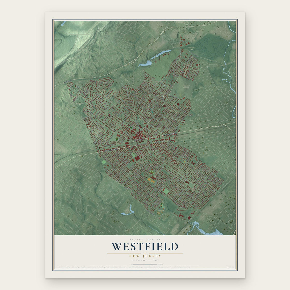
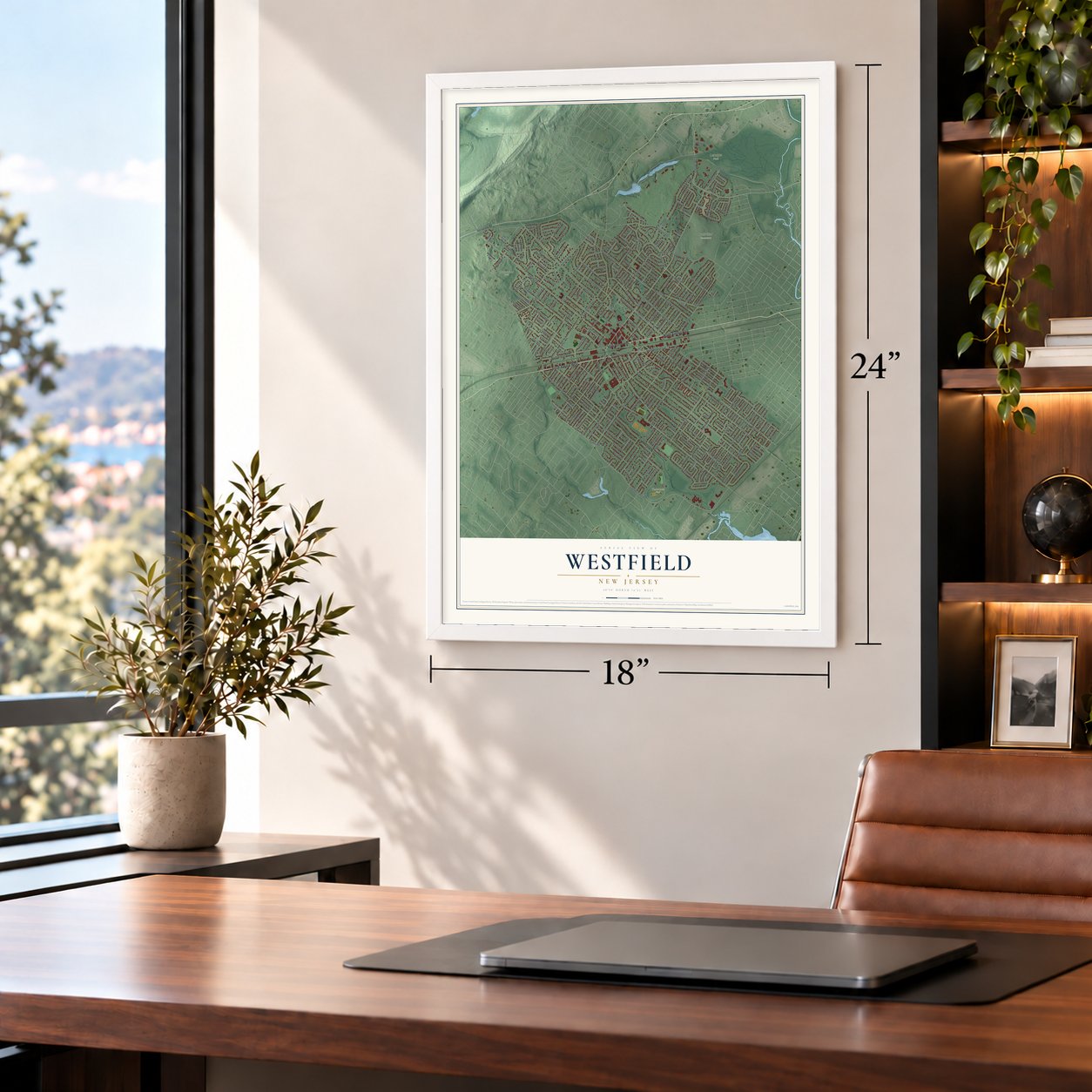
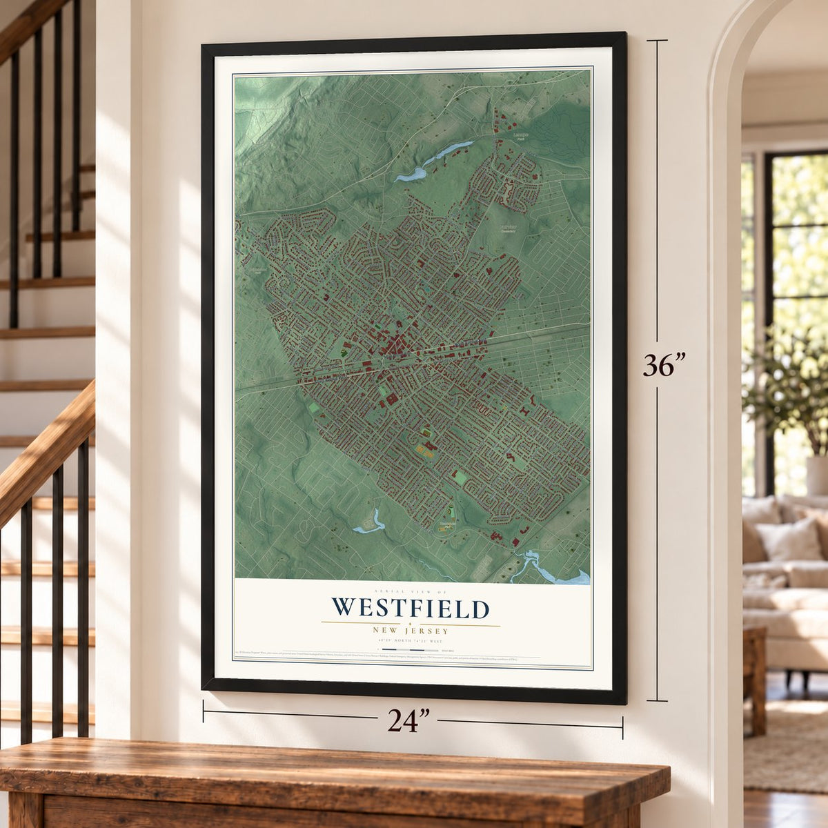
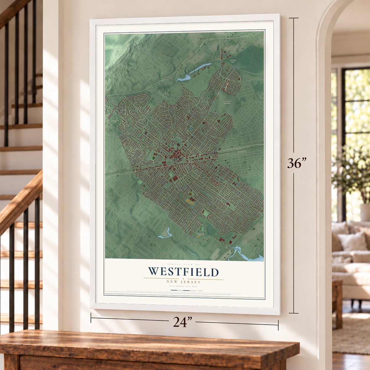
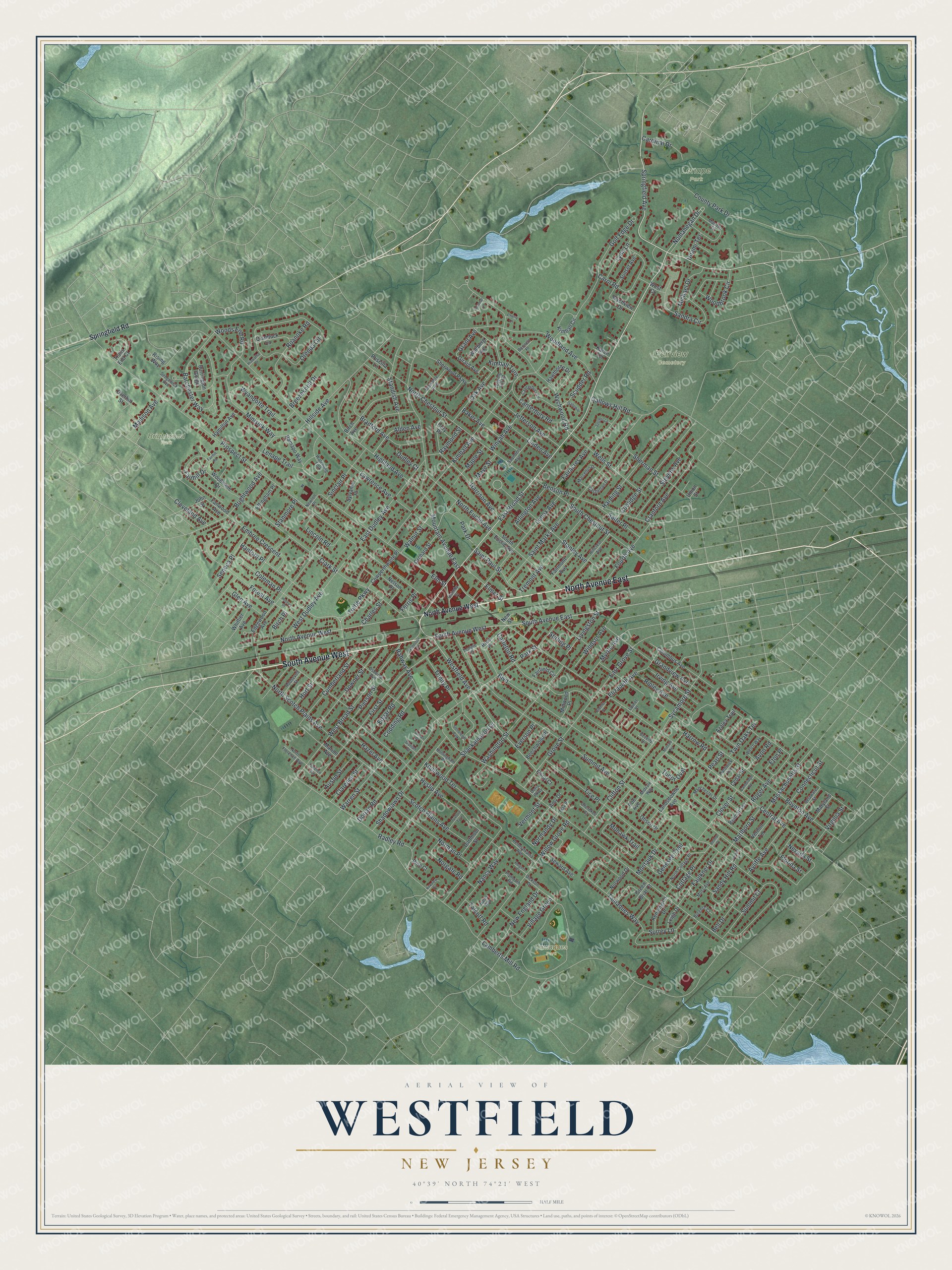
A new map of Westfield, New Jersey, made in 2026 and printed to order on thick archival matte paper.
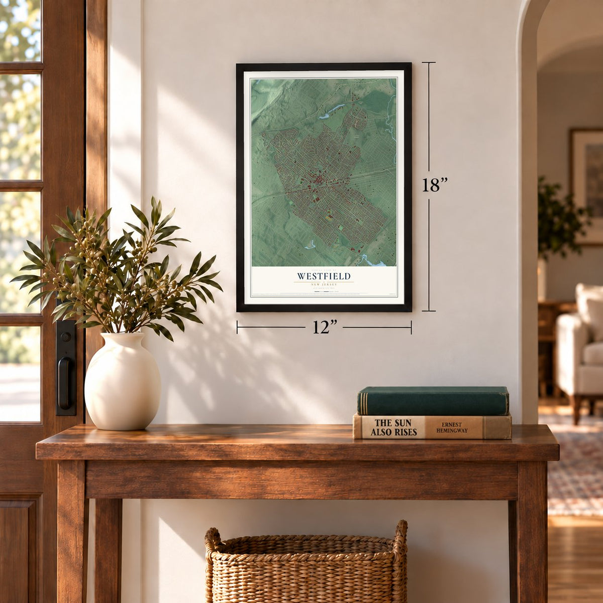
12" x 18" Archival Matte Print
A Map of Home. A Work of Art.
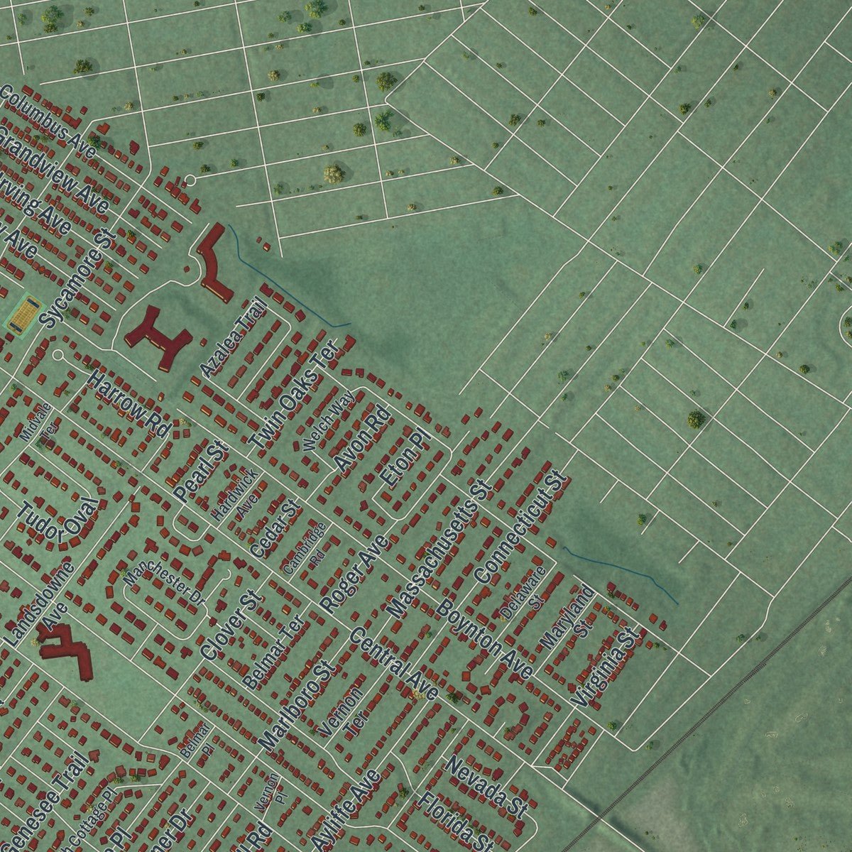
Explore Westfield, New Jersey from a whole new perspective. Created using aerial imagery and detailed geographic data, this map captures Westfield building by building, with labeled streets, familiar landmarks, and shaded topographical relief that highlights the natural contours of the landscape.
Combining modern data with the timeless character of a vintage atlas, this map is just as interesting up close as it is beautiful on the wall. Whether you grew up in Westfield, spent memorable years there, or call it home today, this unique map is a great way to celebrate a place that means something to you. Zoom in on the preview to look for your street, and then order a print to put your memories on the wall.
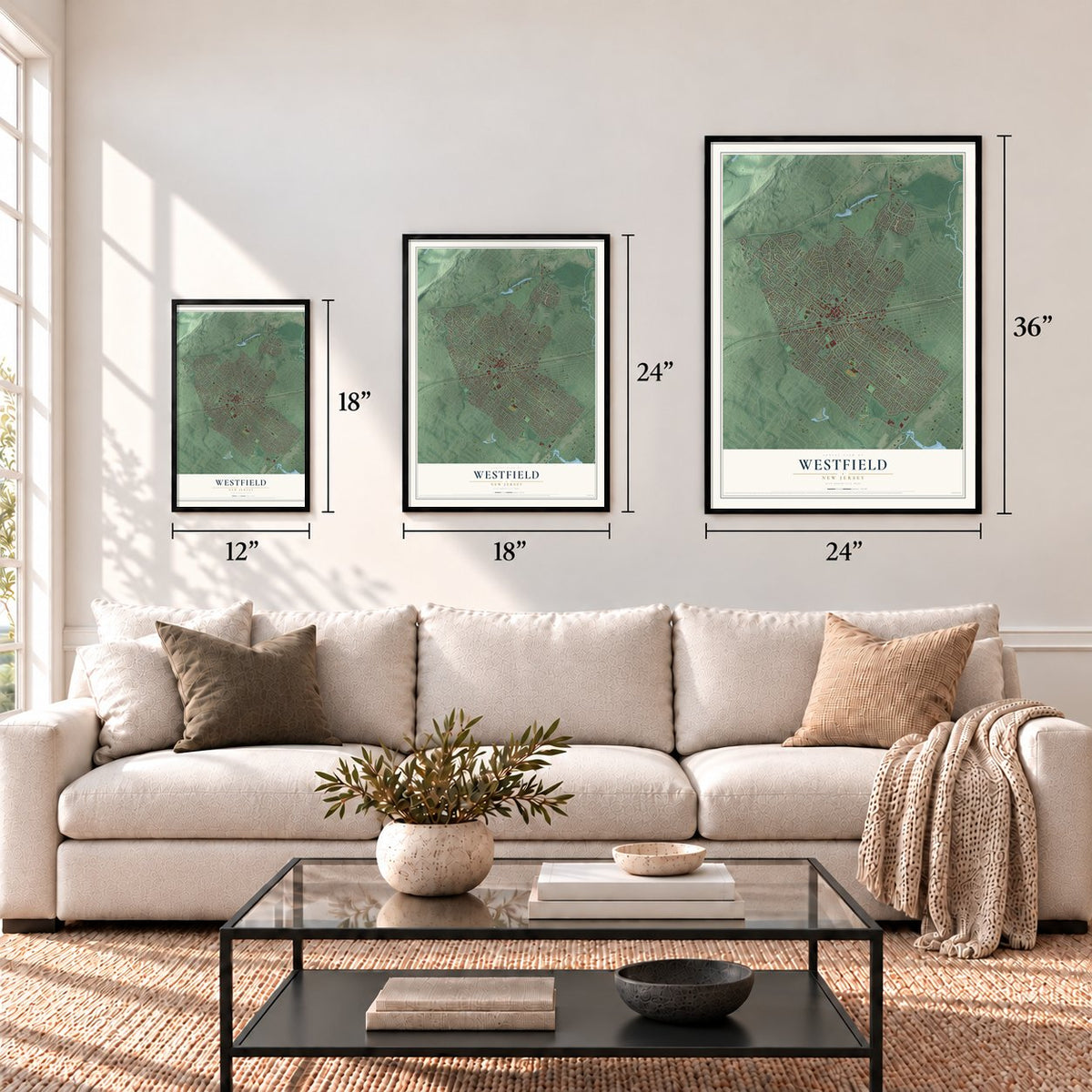
Three ways to hang it
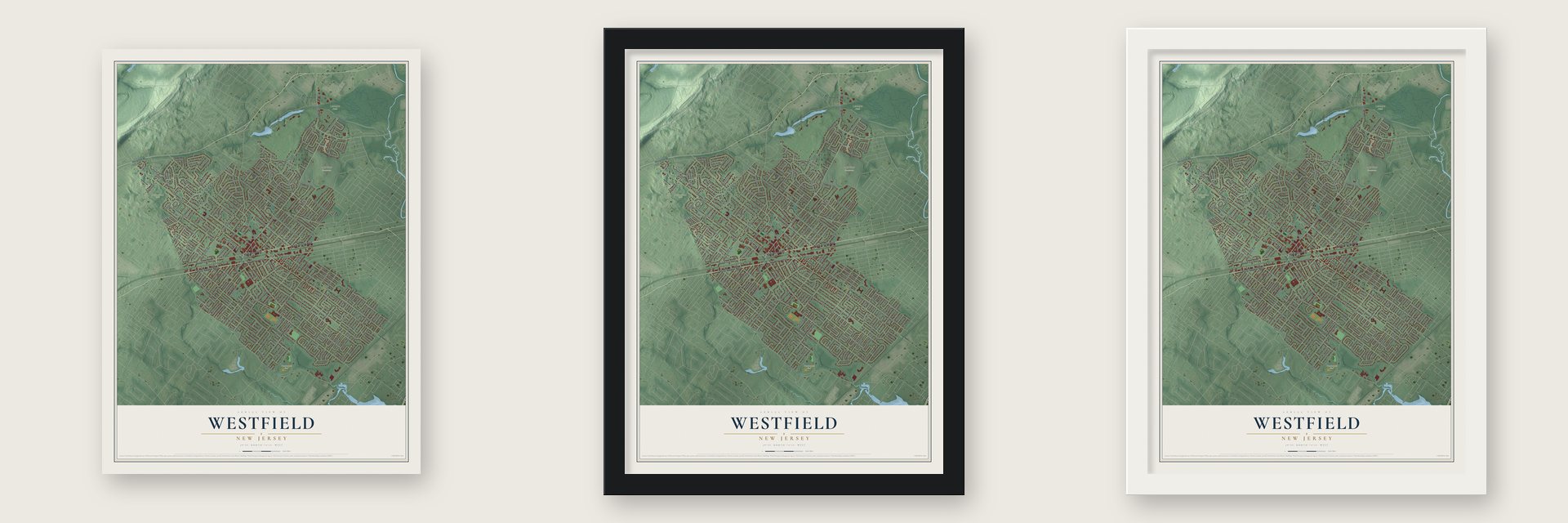
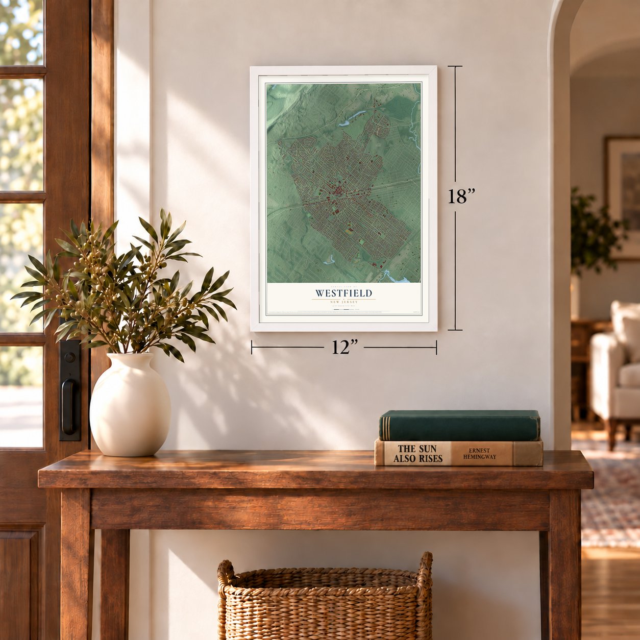
Unframed archival matte, a black wood frame or a white wood frame.
Up close
Geography Worth Displaying
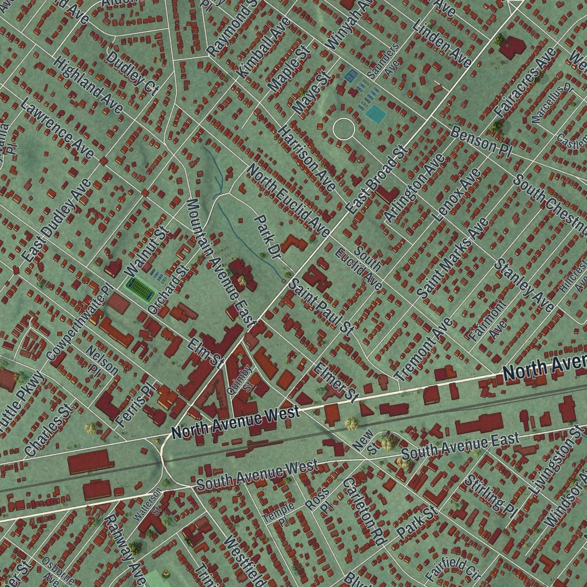
This map was created using accurate cartographic data and authoritative geographic sources, including the U.S. Geological Survey (USGS) and FEMA. The map brings together terrain, waterways, roads, and building detail. The majority of the streets are labeled, houses are accurately depicted, and the topography is derived from government sources. Combining local data with carefully composed color and shading leads to this beautifully detailed Westfield artwork for your wall.
Rather than simply showing street outlines, we’ve included as many of the street names as we could reasonably fit on the map while keeping their names legible. Zoom in on the high resolution preview to see exactly what’s on the map. We truly set out to create a statement piece for anyone who loves Westfield. So whether it’s for you, or a gift for someone you love, we hope this map of Westfield brings back fond memories.
Explore the full map of Westfield, New Jersey and read about the local places it shows.
About Westfield, New Jersey
Westfield is a town of 31,032 people in Union County, in the Rahway Valley. Its name comes from the fertile fields that lay west of Elizabeth Town, and for more than a century people knew the area as West Fields. Settlement began in 1699 after the Clinker Lot Division, when families from older parts of Elizabeth moved inland toward the land between the Rahway River and the mountains. By 1720 enough of them had arrived to form a community of their own, around what is now downtown.
Westfield became a township on January 27, 1794, carved from Elizabeth Township while the area still belonged to Essex County. The legislature incorporated it on February 21, 1798, among New Jersey's first 104 townships, and it joined the new Union County on March 19, 1857. Over the following decades it gave up land to form Rahway, Plainfield, Cranford, Fanwood and Mountainside, and on March 4, 1903, the Town of Westfield replaced the old township.
- Firefighters since 1875In 1875 a fire wiped out a whole block on East Broad Street, and Westfield answered by forming its own fire department. It is now a career department that works out of two stations, with its headquarters at 405 North Avenue West and Station 2 on Central Avenue.
- A book club in 1873The Westfield Memorial Library began in 1873 as the Every Saturday Book Club. It grew over the next century and now fills a Williamsburg-style building at 550 East Broad Street, with more than 250,000 books and a youth area decorated with a mural of Westfield history.
- Main Street award in 2004Downtown Westfield, mostly north of the train station, has more than 200 shops and over 40 restaurants, and more than a third of its stores and eateries have been open for 25 years or longer. The National Trust gave the town its Great American Main Street Award in 2004, and the Rialto Theater and other downtown spots appeared in the NBC series Ed.
- AddamsFest since 2018In October 2018 downtown Westfield held its first AddamsFest to honor Charles Addams, who lived in the town. The festival offered exhibits, lectures, film screenings and a masquerade ball. All summer, jazz groups also play outdoors downtown every Tuesday night.
Find your street
Names on the Westfield map
Every name below is printed on this map. Look for your street, your school, the park where you played, or the pond down the road.
Places and landmarks5
- Brightwood Park
- Fairview Cemetery
- Lenape Park
- Tamaques Park
- Stoneleigh Park
Streets and roads283
- North Avenue East
- South Avenue West
- East Broad Street
- Springfield Avenue
- South Avenue East
- Nomahegan Drive
- Westfield Avenue
- Wychwood Road
- North Avenue West
- Tuttle Parkway
- Park Drive
- Grant Avenue
- Lamberts Mill Road
- Rahway Avenue
- Central Avenue
- Prospect Street
- Boulevard
- Summit Avenue
- Boynton Avenue
- Lawrence Avenue
- Kimball Avenue
- Grandview Avenue
- Mountain Avenue East
- Saint Marks Avenue
- Tice Place
- Clark Street
- Carleton Road
- Knollwood Terrace
- Hyslip Avenue
- Tamaques Way
Show all 283 streets
- Scotch Plains Avenue
- Elm Street
- Orenda Circle
- First Street
- Dorian Road
- West Broad Street
- Barchester Way
- Summit Court
- North Chestnut Street
- Highland Avenue
- Shackamaxon Drive
- Lenox Avenue
- Willow Grove Road
- Woodland Avenue
- Stanley Avenue
- South Chestnut Street
- Forest Avenue
- Washington Street
- Bradford Avenue
- Clifton Street
- Grove Street
- Shadowlawn Drive
- Coolidge Street
- West Dudley Avenue
- Golf Edge Drive
- Hillside Avenue
- Harding Street
- Benson Place
- Woodbrook Circle
- Sandra Circle
- East Dudley Avenue
- Gallows Hill Road
- Fairacres Avenue
- Minisink Way
- Downer Street
- Norman Place
- North Scotch Plains Avenue
- Tremont Avenue
- Linden Avenue
- Mohawk Trail
- Cranford Avenue
- Coleman Place
- Wells Street
- Winyah Avenue
- Cumberland Street
- Normandy Drive
- Brightwood Avenue
- Carol Road
- Sherman Street
- Nancy Way
- Harrison Avenue
- Roanoke Road
- Wyandotte Trail
- Fourth Avenue
- North Euclid Avenue
- Stevens Avenue
- Jefferson Avenue
- Embree Crescent
- County Park Drive
- Sandy Hill Road
- Standish Avenue
- Park Street
- Hanford Place
- Sycamore Street
- Hazel Avenue
- Tudor Oval
- New England Drive
- Warren Street
- Elizabeth Avenue
- Massachusetts Street
- Connecticut Street
- Windsor Avenue
- Cottage Place
- Genesee Trail
- Norgate Road
- Baker Avenue
- East Grove Street
- Ripley Avenue
- Edgar Road
- Roger Avenue
- Saint Paul Street
- Faulkner Drive
- Canterbury Road
- Lincoln Road
- Myrtle Avenue
- Sinclair Place
- Hort Street
- Clover Street
- Montauk Drive
- Oak Avenue
- Irving Avenue
- Seneca Place
- Lenape Trail
- Ayliffe Avenue
- Marlboro Street
- Alden Avenue
- Radley Road
- Lynn Lane
- Michael Drive
- Trinity Place
- Codding Road
- Madison Avenue
- Livingston Street
- Salter Place
- Elmer Street
- Woods End Road
- Harrow Road
- Virginia Street
- Bell Drive
- Austin Street
- Clarence Street
- Walnut Street
- Fairhill Drive
- Village Green
- Cardinal Drive
- Maple Street
- Raymond Street
- Arlington Avenue
- Florida Street
- Glen Avenue
- Pierson Street
- Twin Oaks Terrace
- Scudder Road
- Cleveland Avenue
- Breezeknoll Drive
- Maye Street
- Avon Road
- Kimball Turn
- Vermont Street
- Dudley Court
- Eton Place
- Charles Street
- Talcott Road
- Stanmore Place
- Surrey Lane
- Nevada Street
- Everson Place
- Birch Place
- Unami Terrace
- Ferris Place
- Stirling Place
- Pearl Street
- Springfield Road
- Girard Avenue
- Edgewood Avenue
- South Euclid Avenue
- Birch Avenue
- Columbus Avenue
- Woodmere Drive
- Fairmont Avenue
- Azalea Trail
- Landsdowne Avenue
- Hawthorne Drive
- Sherwood Parkway
- Sunset Avenue
- Otisco Drive
- Kimball Circle
- Priscilla Lane
- Cowperthwaite Place
- Sylvania Place
- Overhill Street
- Quantuck Lane
- Seward Avenue
- Orchard Street
- Ramapo Way
- Kensington Drive
- Trails End Court
- Hamilton Avenue
- Beechwood Place
- Burrington Gorge
- Norwood Drive
- Effingham Place
- Dartmoor Street
- Vernon Terrace
- Belmar Terrace
- Ross Place
- Wallberg Avenue
- Whittier Avenue
- Maryland Street
- Fairfield Circle
- Wychview Drive
- John Street
- Midwood Place
- Leigh Drive
- Fanwood Avenue
- Nelson Place
- Cedar Street
- Green Briar Court
- Cory Place
- Floral Court
- Karen Terrace
- Rising Way
- Pine Court
- Amy Drive
- Marion Avenue
- West Court
- Poe Avenue
- New Street
- Union Street
- Hillcrest Avenue
- Watchung Fork
- Manchester Drive
- Topping Hill Road
- Manitou Circle
- Moss Avenue
- North Cottage Place
- Osborne Avenue
- Saunders Avenue
- Dickson Drive
- Belvidere Avenue
- Marcellus Drive
- Castleman Drive
- Midvale Way
- Canterbury Lane
- Pennsylvania Avenue
- Welch Way
- Delaware Street
- North Florence Avenue
- Roosevelt Street
- Doris Parkway
- Plymouth Road
- Burgess Court
- Nottingham Place
- Hardwick Avenue
- Sedgewick Avenue
- Cherokee Court
- Temple Place
- Bates Way
- Quimby Street
- Bennett Place
- Max Place
- Beverly Drive
- Newton Place
- Dorian Court
- Laurel Place
- Florence Avenue
- Fairhill Road
- Watterson Street
- Gallowae
- Settlers Lane
- Cambridge Road
- Tuxford Turn
- Greene Place
- Rodman Lane
- Hiawatha Drive
- Rutgers Court
- Kirkview Circle
- Vernon Place
- Holmes Place
- Belmar Place
- Dorian Place
- Midvale Terrace
- Cherry Lane
Names are listed as they appear on the printed map. Zoom into the product photos to find them.
The art of mapping a place
How This Map Was Made
Real places. Remarkable detail. Discover the layers that turn geographic data into a map of home.

The view from above
Aerial imagery reveals the character of the land: woodland, open fields, and the patterns of a place.

The shape of the land
Elevation data brings hills, valleys, and subtle changes in the landscape into view.

The details of home
Roads, waterways, and building footprints come together to make the map feel unmistakably local.

Geography becomes art
Considered color, shading, and typography bring the layers together in a map made for your wall.


Process illustrated with Mendon, Massachusetts. Aerial imagery: USDA NAIP. Terrain: USGS 3D Elevation Program. Map details and finished artwork: KNOWOL.
The Details
About This Print
Choose an archival matte print, or a black or white Ayous wood frame. The archival matte print is unframed.
Select your size and finish above to see the matching product image and price.
Materials & Craftsmanship
A contemporary map with the character of a classic atlas, printed on archival matte paper. Optional frames are made from Ayous wood.
Your printed map does not include the watermark shown in the full-map preview.
Shipping & Delivery
Free shipping within the United States. Every print is made to order in the USA.
Buying a gift? Add a note in your cart and we'll include it. We never put prices in the package.
Prints ship within 2 to 3 business days. Allow 7 to 10 days total from ordering for delivery. Timing may vary during holidays or periods of high order volume.
Read our shipping policy.
Returns and damaged prints
Each print is made to order. Change-of-mind refunds are not available after production.
If your print arrives damaged, misprinted or incorrect, contact support@knowol.com within 30 days of receiving it. Include your order number, photos and a description of the issue.
Read our full refund and replacement policy. For questions about your order, email support@knowol.com.
Find your town
Looking for another city?
Find a map of home in our New Jersey collection, or any town in the country.
Nearby
Maps of towns near Westfield
Know someone from one of these towns? Their map makes a great gift.
 Garwood
, New Jersey
From $39.99See the map
 Scotch Plains
, New Jersey
From $39.99See the map
 Cranford
, New Jersey
From $39.99See the map
More maps nearby: Mountainside, Fanwood, Clark, Winfield and Springfield.