
Search for another town


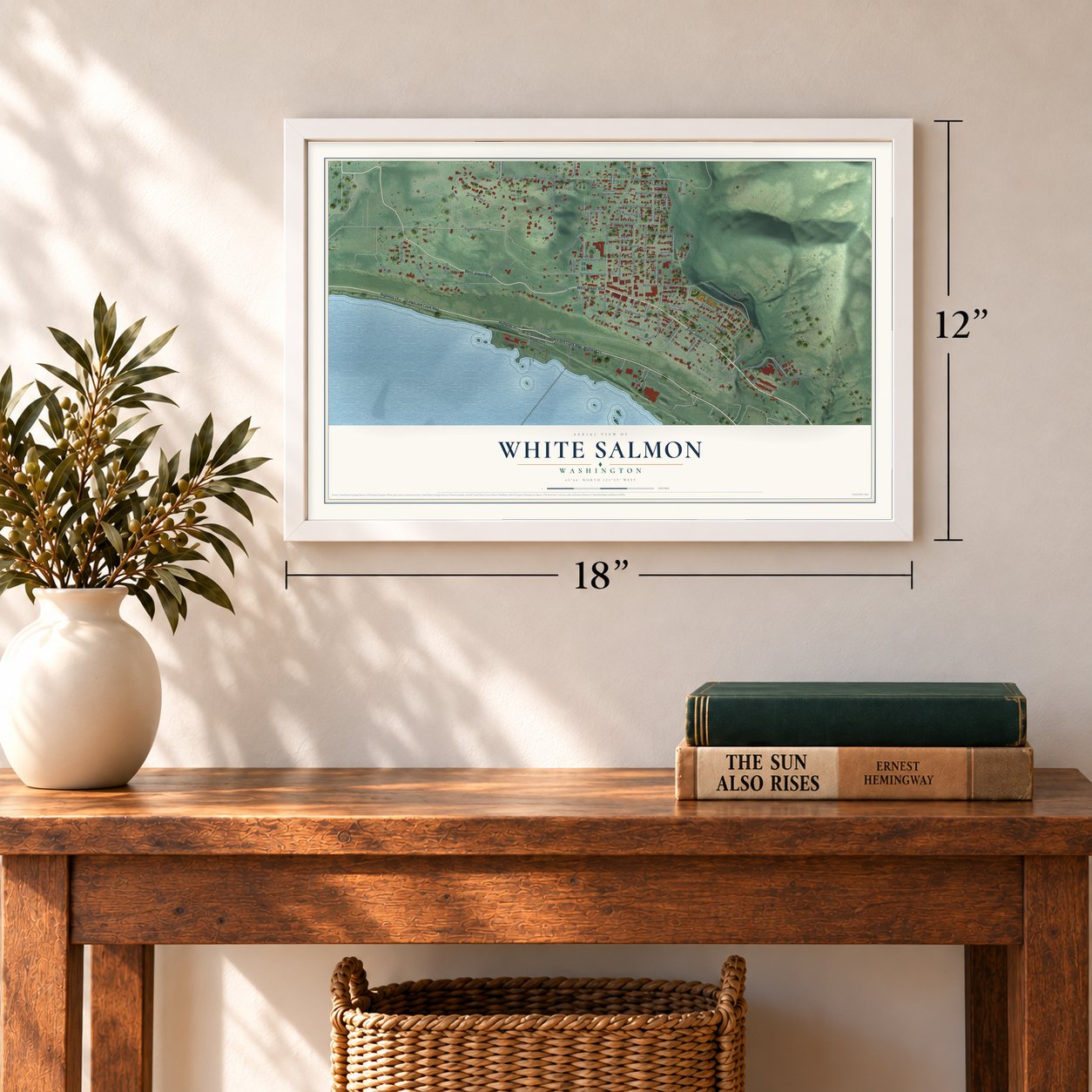

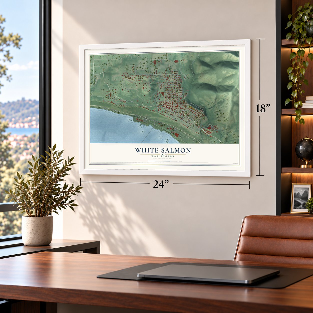
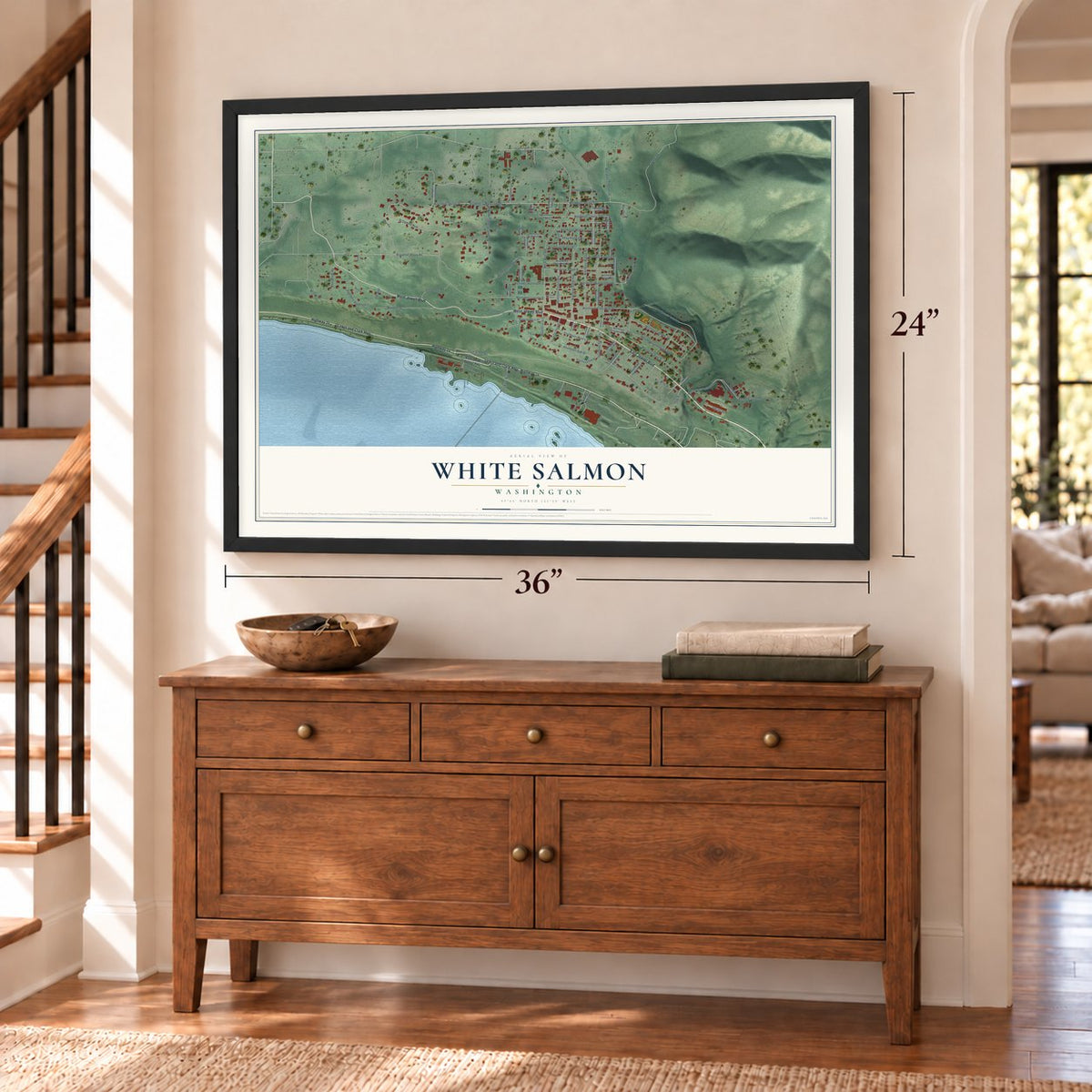
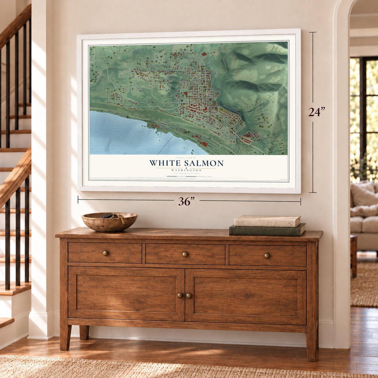
Free U.S. delivery 7 to 10 days after you order
White Salmon, Washington Map Art
A new map of White Salmon, Washington, made in 2026 and printed to order on thick archival matte paper.
12" x 18" Archival Matte Print
A Map of Home. A Work of Art.
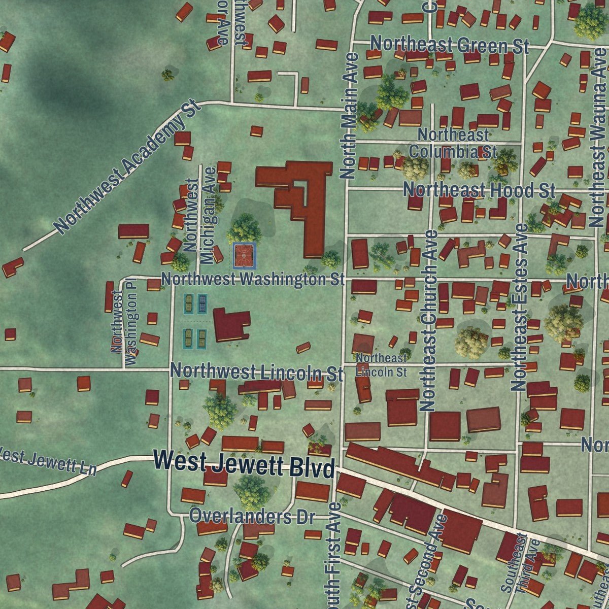
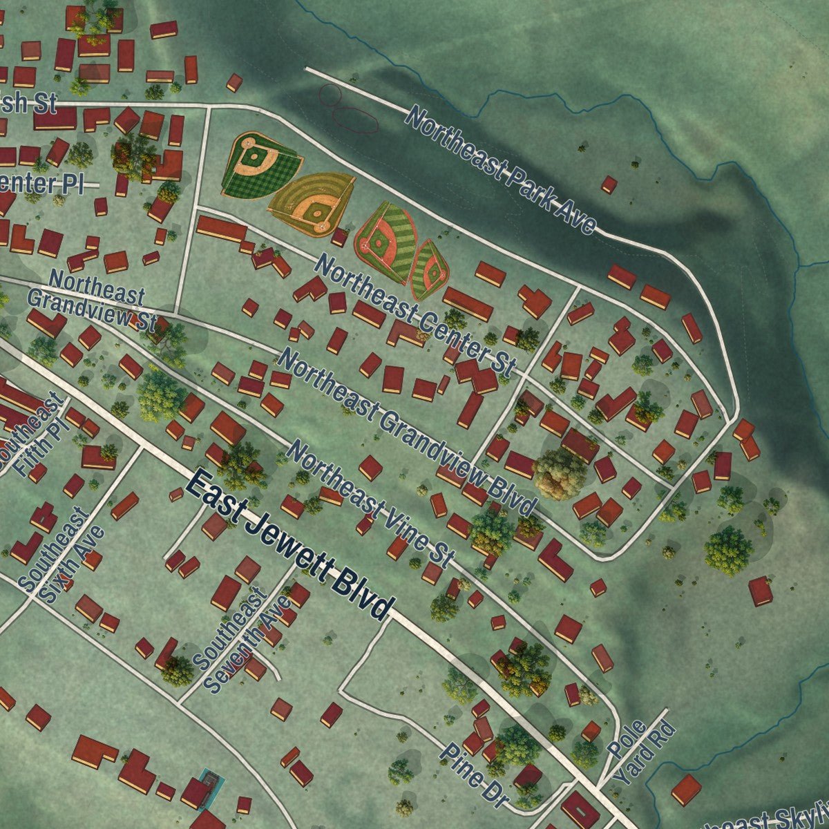
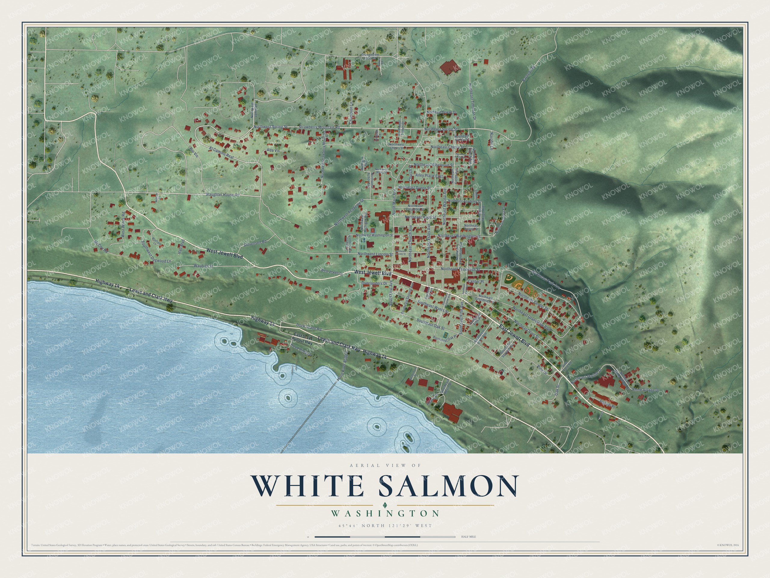
Explore White Salmon, Washington from a whole new perspective. Created using aerial imagery and detailed geographic data, this map captures White Salmon building by building, with labeled streets, familiar landmarks, and shaded topographical relief that highlights the natural contours of the landscape.
Combining modern data with the timeless character of a vintage atlas, this map is just as interesting up close as it is beautiful on the wall. Whether you grew up in White Salmon, spent memorable years there, or call it home today, this unique map is a great way to celebrate a place that means something to you. Zoom in on the preview to look for your street, and then order a print to put your memories on the wall.
Three ways to hang it
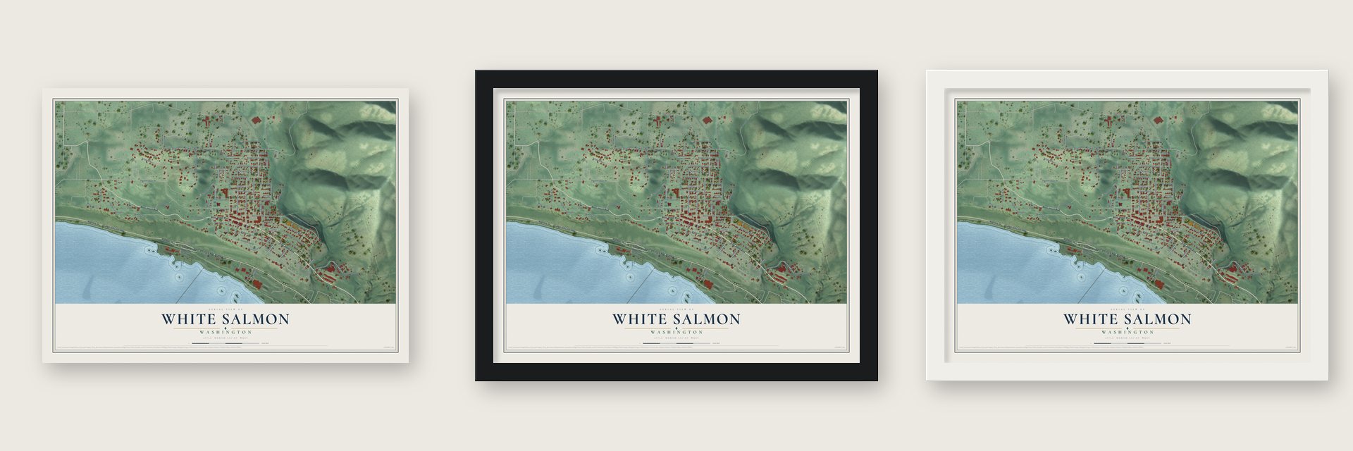
Unframed archival matte, a black wood frame or a white wood frame.
Up close
Geography Worth Displaying
This map was created using accurate cartographic data and authoritative geographic sources, including the U.S. Geological Survey and the Census Bureau. The map brings together terrain, waterways, roads, and building detail. The majority of the streets are labeled, houses are accurately depicted, and the topography is derived from government sources. Combining local data with carefully composed color and shading leads to this beautifully detailed White Salmon artwork for your wall.
Rather than simply showing street outlines, we’ve included as many of the street names as we could reasonably fit on the map while keeping their names legible. Zoom in on the high resolution preview to see exactly what’s on the map. We truly set out to create a statement piece for anyone who loves White Salmon. So whether it’s for you, or a gift for someone you love, we hope this map of White Salmon brings back fond memories.
Read the story behind this map of White Salmon, Washington from 2026.

About White Salmon, Washington
White Salmon is a city of 2,485 people in Klickitat County, high on a bluff that rises about 550 feet over the Columbia River, across from Hood River, Oregon. At least 12 Klickitat villages stood in this area for generations. In 1805 Lewis and Clark watched tribal fishermen catching and drying salmon with white flesh, and they named the nearby river for it. The town later took the river's name.
Erastus S. and Mary Joslyn came from Massachusetts in 1853 and claimed 320 acres under the Donation Land Law. The law didn't require them to pay the Klickitats, but they paid anyway, in blankets, flour and cloth. When the Yakama War grew worse in 1856, the couple fled to the blockhouse at Fort Cascades. After the war, territorial officials turned their claim into a temporary reservation for three years. Joslyn later asked the government for $4,000 in rent and damages, and in 1872 a House committee agreed to pay half.
“White Salmon has commenced to put on airs and was rather uppish yesterday when Harry M. Adams, general freight and passenger agent for the Spokane, Portland & Seattle, would not consent to immediately paint out the name of White Salmon on the depot buildings”
- The fight over the depotIn 1880 the post office moved up from the river to C. M. Wolford's store, and families below had to climb for their mail. Theodor Suksdorf answered by platting his own town, Bingen, in 1892. When the Spokane, Portland & Seattle Railway came in 1908, the towns fought over the station's name. In 1912 the state supreme court let the railroad keep White Salmon, since nearly all the station's business came from there.
- A church bell from New YorkThe New Congregational Church was built in 1880, mostly by volunteers, and the town's first school held its classes there. Two years later an elderly woman in New York who had heard of the congregation sent a bell, and a belfry was added. Hood River had no church yet, and the bell was the first to ring on the Columbia between Vancouver and The Dalles.
- Incorporated by 53 votesVoters approved incorporation on March 30, 1907, by 53 votes to six, and elected C. M. Wolfard mayor. The incorporation became official on June 3, 1907. Within two years the city had electric lights, and residents passed a $60,000 bond for a water system, pumped by a 30-foot dam on the White Salmon River that made 1,500 horsepower.
- St. Joseph's on the hillsideIn July 1908 Catholics bought a wooded hillside lot from the Lauterbach family for 100 gold coins. They built St. Joseph's Catholic Church there and dedicated it on April 14, 1912, with church leaders from Seattle and Vancouver as guests, who had lunch afterward at the Colburn Hotel.
- The White Salmon County that wasn'tIn 1912 a bill in the state legislature would have split Klickitat County and created a White Salmon County. The Senate approved it, but the House never voted it out. It came back in 1913, but lawmakers put off acting on it, and the county was never created.
Find your street
Names on the White Salmon map
Every name below is printed on this map. Look for your street, your school, the park where you played, or the pond down the road.
Streets and roads98
- Highway 14
- Lewis and Clark Highway
- West Jewett Boulevard
- East Jewett Boulevard
- El Camino Real
- Northwest Spring Street
- Slaughter House Road
- Northeast Spring Street
- Northeast Cherry Street
- Hearn Drive
- South First Avenue
- Northeast Vine Street
- Dock Grade Road
- Northwest Lincoln Street
- North Main Avenue
- Northeast Tohomish Street
- Northeast Estes Avenue
- Southeast Oak Street
- Northeast Grandview Boulevard
- Northeast Park Avenue
- Strawberry Mountain Road
- Northeast Washington Street
- Northeast Wauna Avenue
- Barnedt Road
- Southeast Wyers Street
- Northeast Hood Street
- Northeast Center Street
- Waubish Street
- Northeast Tillotson Drive
- Northeast Church Avenue
Show all 98 streets
- Northwest Academy Street
- Northeast Green Street
- Southwest Dogwood Lane
- Northeast Wisconsin Street
- Northeast Skyline Drive
- West Winds Road
- Overlanders Drive
- McCoy Road
- Stevensen Road
- Alley Place East
- Pine Drive
- Hood River Bridge
- Southeast Fifth Avenue
- Alta Vis
- Ingram Place
- Champion Lane
- Rhine Village Drive
- Oak Street
- Rio Vis
- Hood Vista Drive
- Church Place
- Center Place
- Navaho Lane
- Hall Boulevard
- East Sr141 Pullout Highway
- Northwest Jamie Road
- Northwest Cherry Street
- Northeast Stauch Avenue
- Northeast Grandview Street
- Northwest Washington Street
- Northeast Snohomish Avenue
- Northwest Strawberry Mount Road
- Northeast Scenic Street
- Northeast Fields Avenue
- Northeast Columbia Street
- Northeast Academy Street
- Northeast Skagit Avenue
- Southeast Second Avenue
- Northeast Rhine Village Drive
- North Tuscarora Road
- Southeast Oak Place
- Northeast Dewalt Drive
- Southeast Seventh Avenue
- Grangeview Loop Road
- Northwest Patton Drive
- Northwest Achor Avenue
- Southeast Sixth Avenue
- Southeast Fifth Place
- Michigan Avenue
- West Jewett Lane
- Northeast Fields Place
- Northwest Michigan Avenue
- Pole Yard Road
- Southeast Hearn Drive
- Hillside Lane
- Southeast Fourth Avenue
- Northwest Washington Place
- Maxfield Lane
- Southeast Third Avenue
- Northshore Drive
- Northwest Manly Street
- Gaddis Place
- Wilkes Road
- William Drive
- Jewett
- Northeast East Avenue
- Northeast Lincoln Street
- Northeast Harmony Lane
Names are listed as they appear on the printed map. Zoom into the product photos to find them.
The art of mapping a place
How This Map Was Made
Real places. Remarkable detail. Discover the layers that turn geographic data into a map of home.

The view from above
Aerial imagery reveals the character of the land: woodland, open fields, and the patterns of a place.

The shape of the land
Elevation data brings hills, valleys, and subtle changes in the landscape into view.

The details of home
Roads, waterways, and building footprints come together to make the map feel unmistakably local.

Geography becomes art
Considered color, shading, and typography bring the layers together in a map made for your wall.


Process illustrated with Mendon, Massachusetts. Aerial imagery: USDA NAIP. Terrain: USGS 3D Elevation Program. Map details and finished artwork: KNOWOL.
The Details
About This Print
Choose an archival matte print, or a black or white Ayous wood frame. The archival matte print is unframed.
Select your size and finish above to see the matching product image and price.
Materials & Craftsmanship
A contemporary map with the character of a classic atlas, printed on archival matte paper. Optional frames are made from Ayous wood.
Your printed map does not include the watermark shown in the full-map preview.
Shipping & Delivery
Free shipping within the United States. Every print is made to order in the USA.
Buying a gift? Add a note in your cart and we'll include it. We never put prices in the package.
Prints ship within 2 to 3 business days. Allow 7 to 10 days total from ordering for delivery. Timing may vary during holidays or periods of high order volume.
Read our shipping policy.
Returns and damaged prints
Each print is made to order. Change-of-mind refunds are not available after production.
If your print arrives damaged, misprinted or incorrect, contact support@knowol.com within 30 days of receiving it. Include your order number, photos and a description of the issue.
Read our full refund and replacement policy. For questions about your order, email support@knowol.com.
Find your town
Looking for another city?
Find a map of home in our Washington collection, or any town in the country.
Nearby
Maps of towns near White Salmon
Know someone from one of these towns? Their map makes a great gift.
 Bingen
, Washington
From $39.99See the map
 Lyle
Lyle, Washington
From $39.99See the map
 Carson
, Washington
From $39.99See the map
More maps nearby: Dallesport, Klickitat, Trout Lake, Stevenson and Glenwood.