
Search for another town


Free U.S. delivery 7 to 10 days after you order
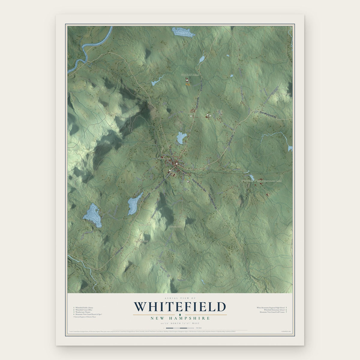
Whitefield, New Hampshire Map Art
Building by building, with labeled streets and shaded relief.
12" x 18" Archival Matte Print
A Map of Home. A Work of Art.
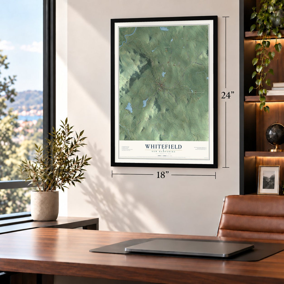
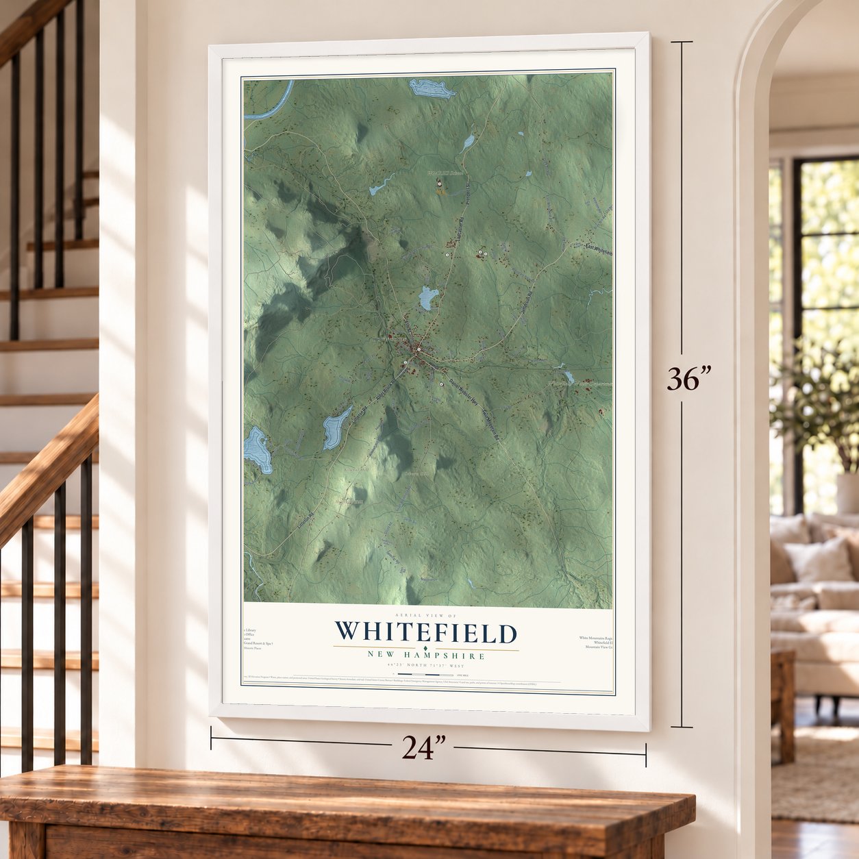
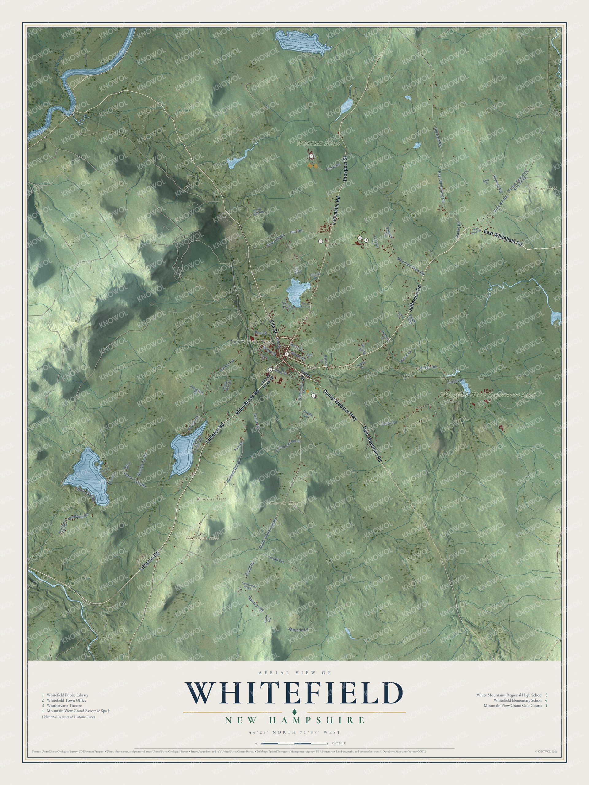
Explore Whitefield, New Hampshire from a whole new perspective. Created using aerial imagery and detailed geographic data, this map captures Whitefield building by building, with labeled streets, familiar landmarks, and shaded topographical relief that highlights the natural contours of the landscape.
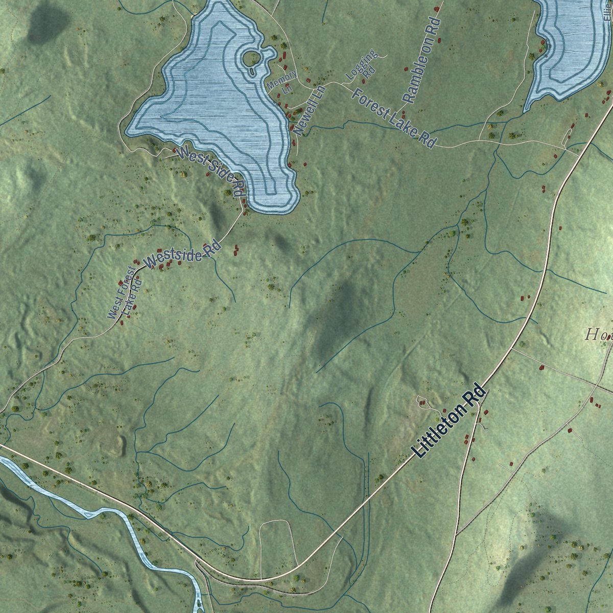
Combining modern data with the timeless character of a vintage atlas, this map is just as interesting up close as it is beautiful on the wall. Whether you grew up in Whitefield, spent memorable years there, or call it home today, this unique map is a great way to celebrate a place that means something to you. Zoom in on the preview to look for your street, and then order a print to put your memories on the wall.
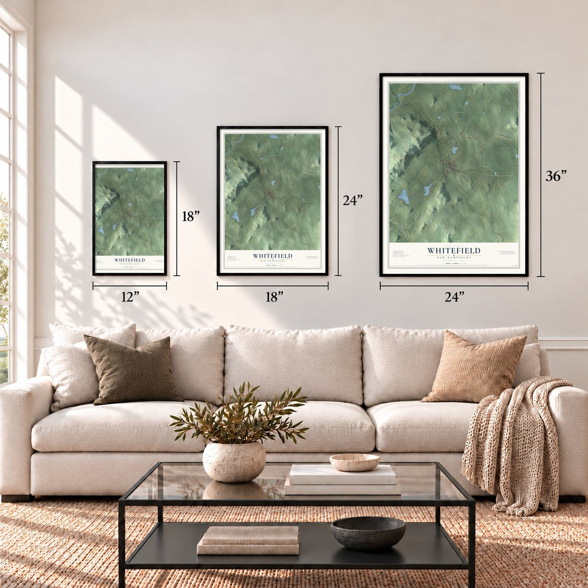
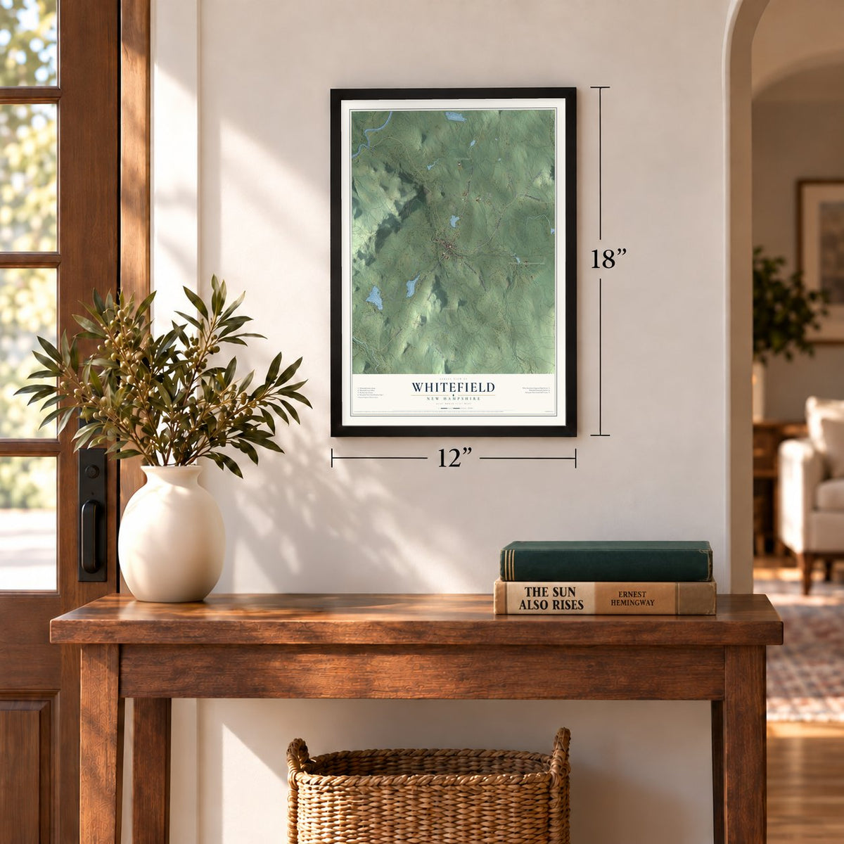
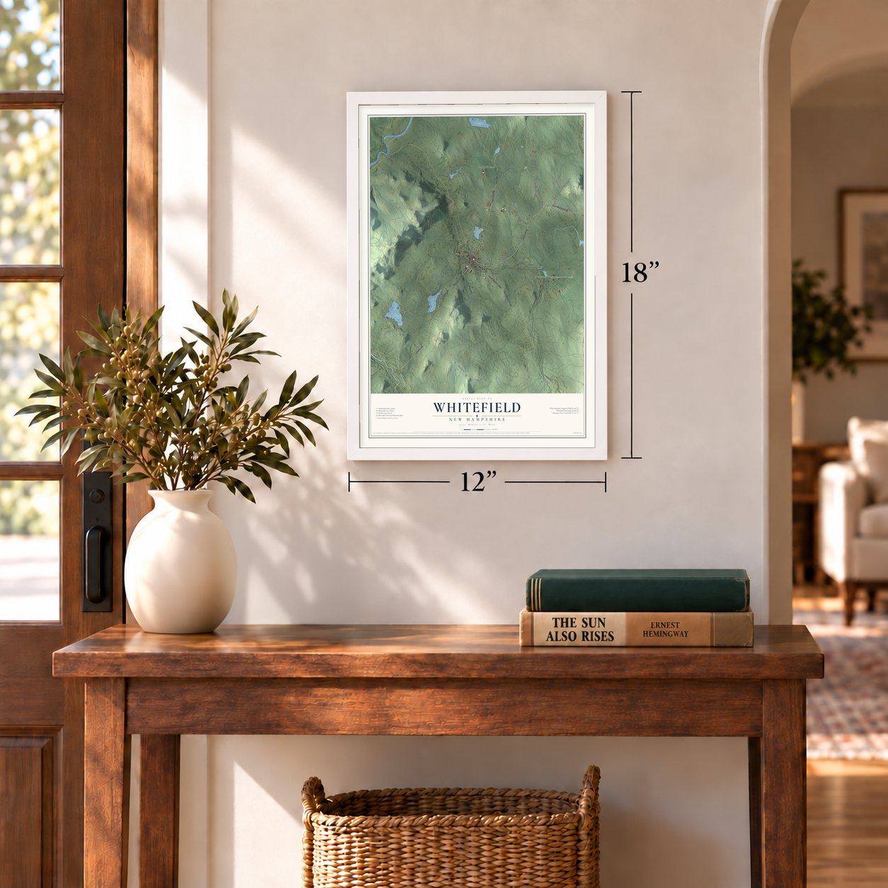
Three ways to hang it
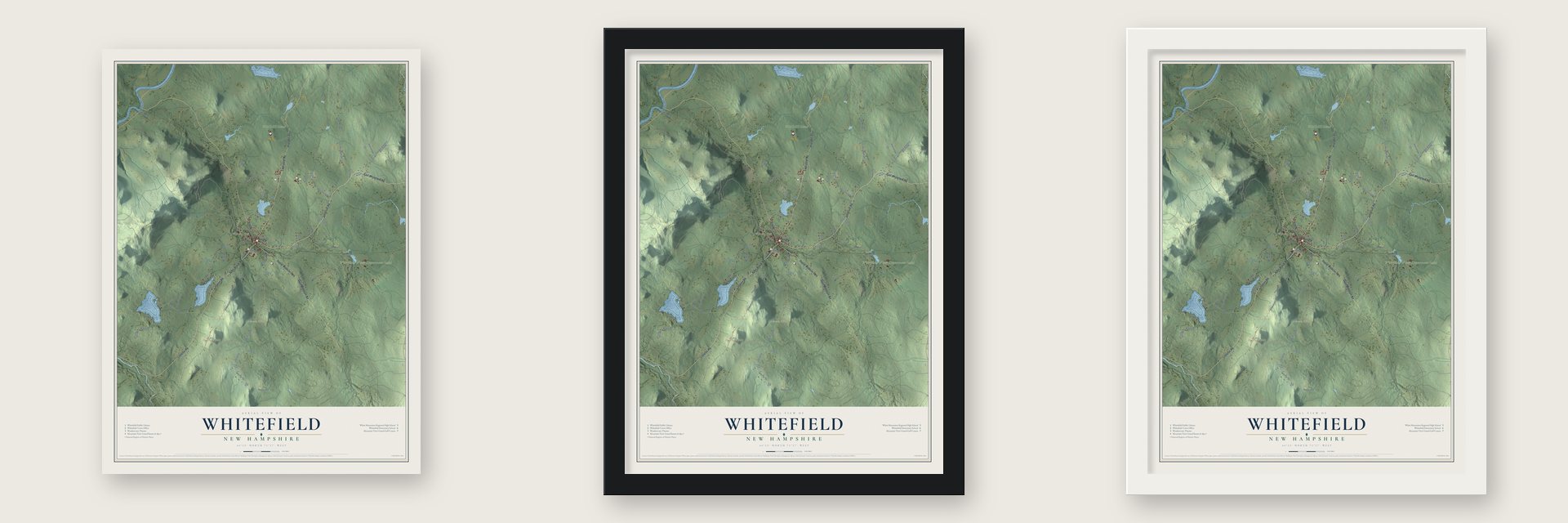
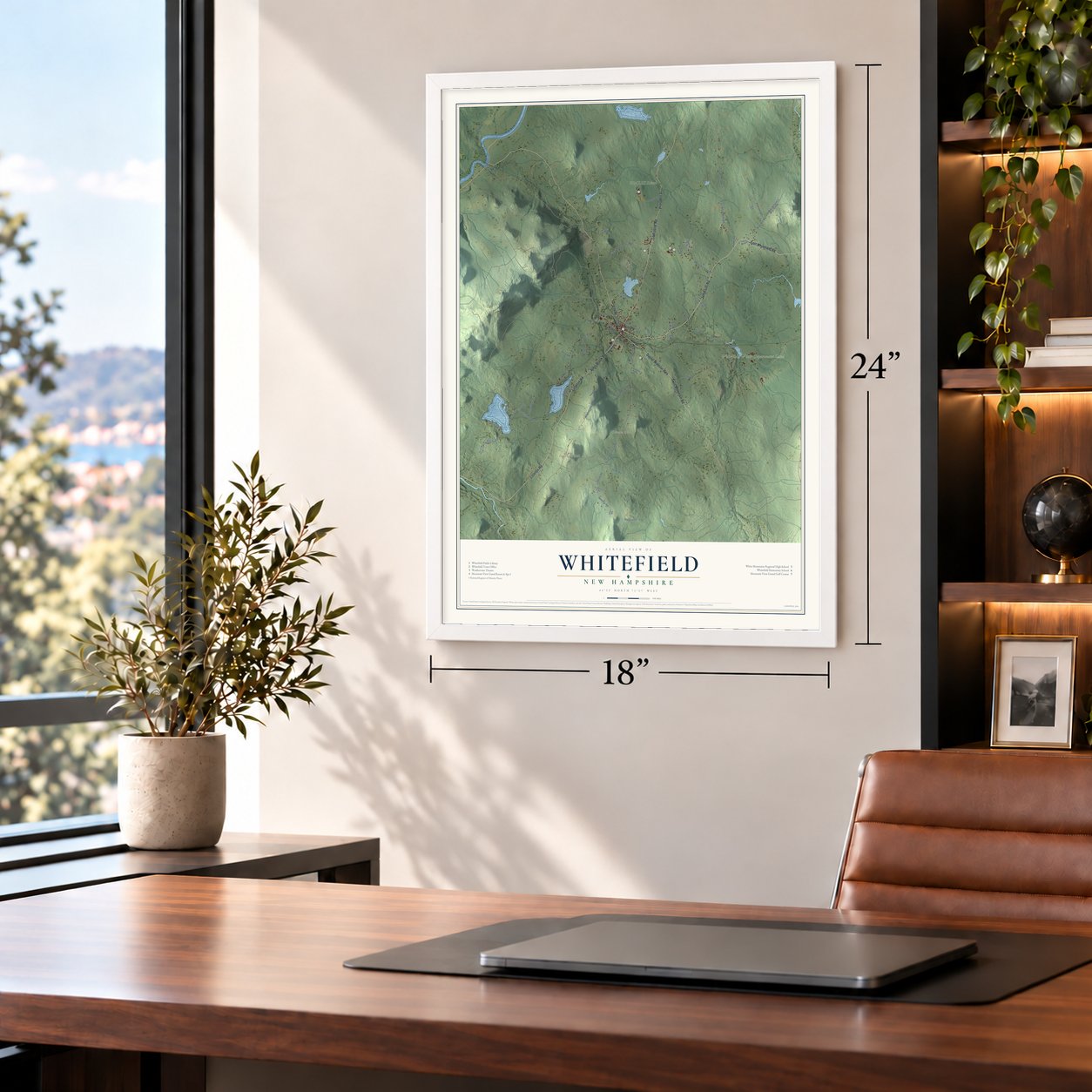
Unframed archival matte, a black wood frame or a white wood frame.
Up close
Geography Worth Displaying
This map was created using accurate cartographic data and authoritative geographic sources, including the U.S. Geological Survey (USGS) and FEMA. The map brings together terrain, waterways, roads, and building detail. The majority of the streets are labeled, houses are accurately depicted, and the topography is derived from government sources. Combining local data with carefully composed color and shading leads to this beautifully detailed Whitefield artwork for your wall.
Rather than simply showing street outlines, we’ve included as many of the street names as we could reasonably fit on the map while keeping their names legible. Zoom in on the high resolution preview to see exactly what’s on the map. We truly set out to create a statement piece for anyone who loves Whitefield. So whether it’s for you, or a gift for someone you love, we hope this map of Whitefield brings back fond memories.
Explore the full map of Whitefield, New Hampshire and read about the local places it shows.
Find your street
Names on the Whitefield map
Every name below is printed on this map. Look for your street, your school, the park where you played, or the pond down the road.
Places and landmarks7
- Downtown
- Bray Hill
- Howland Hill
- Kimbal Hill
- Osburn Hill
- Whitefield Water Department Land
- WMRHS School
Streets and roads73
- Jefferson Road
- Daniel Webster Highway
- Twin Mountain Road
- East Whitefield Road
- Elm Street
- Littleton Road
- Lancaster Road
- Prospect Street
- Alder Brook Road
- Hanks Road
- Old East Road
- Gould Road
- Kimball Hill Road
- South Whitefield Road
- Bray Hill Road
- Crane Road
- Brown Street
- Marjorie Lane
- Airport Road
- Parker Road
- Mountain View Road
- Colby Road
- Forest Lake Road
- Hazen Road
- Westside Road
- West Side Road
- Hall Road
- Silas Hill Road
- Spencer Road
- Selah Vis
Show all 73 streets
- Hildreth Road
- Pierce Road
- Ramble on Road
- View Street
- Pine Street
- Maple Street
- Union Street
- Greenwood Street
- Old New Hampshire Bray Hill Road
- Unnamed Private Drive
- School Road
- Hidden Acre Drive
- Knob Hill Road
- Evergreen Drive
- Burns Lake Road
- Newell Lane
- Shirlaw Drive
- Liberty Drive
- McGee Road
- Spring Street
- Balsam Lane
- Sarah' Pride
- Varney Road
- Hatfield Drive
- Sunrise Drive
- Girard Drive
- Ford Road
- Fairway Lane
- Eben Road
- Stile Pk
- Littleton Brook Road
- Knot Hole Road
- West Forest Lake Road
- Whispering Pines Drive
- Logging Road
- Fieldstone Acres
- Sally Drive
- Lupine Lane
- Park Street
- Laurel Street
- Memory Lane
- Mirror Lake Road
- Ellie Lane
Names are listed as they appear on the printed map. Zoom into the product photos to find them.
About Whitefield, New Hampshire
Whitefield is a town of 2,490 people in Coos County, at the northern edge of the White Mountains. It received its charter on July 4, 1774, two years to the day before the Declaration of Independence, and it was the last town granted by the English provincial government. The charter called it Whitefields, and the town kept that spelling until it was incorporated on December 1, 1804, when the final "s" was dropped.
Once the railroad reached town in the 19th century, summer visitors came from Boston, Hartford, New York and Philadelphia to trade the heat and coal smoke of their cities for cool mountain air. Inns and hotels went up to house the growing crowds. The grandest was the Mountain View House, built on a hilltop that looks out at the Presidential Range.
- A preacher or the snowNo one knows for certain how Whitefield got its name. One story credits George Whitefield, an English evangelist whose friend the Earl of Dartmouth was Dartmouth College's patron. Another says the name came from the snowy white fields that travelers saw as they came through the mountain passes. The historian Jeremy Belknap and John Langdon, who followed John Wentworth as governor, were among the town's early grantees.
- The Dodges' Mountain View HouseWilliam and Mary Dodge took the first paying boarders into their home in 1865 and opened the Mountain View House as an inn in 1866. It held more than 100 guests by 1884. An expansion in 1911 and 1912 raised its capacity past 200 and added its belvedere tower. Guests called it "The View," and the Dodges kept adding on until it had 300 beds, a dining hall that seated 450 and more than 3,000 acres.
- Closed in 1986, back in 2002The Dodge family kept the hotel until 1979. It closed in 1986 after 122 seasons and sat empty for years. A buyer took over the vacant building in 1998, along with a nine-hole golf course, and after a long renovation the hotel opened again on May 22, 2002, now named the Mountain View Grand Resort & Spa. Its farm raises chickens, sheep, goats and Scottish Highland cattle.
- Where two railroads crossedTwo lines met in the middle of Whitefield: the Boston and Maine, running between Wells River, Vermont, and Berlin, and the Maine Central, running between Portland and St. Johnsbury. Much of that track is now unused or pulled up, but the diamond where the rails cross was still there in 2022. It is watched over by a ball signal, the last of its historic kind left in New England.
- A bandstand from 1875Whitefield has many Victorian buildings, and the best known is the bandstand put up on the common in 1875. The town hall and its bell tower stood for about a century until the building came down in 2013. A year later, in 2014, voters at town meeting chose a pre-fab building outside the town center to take its place.
Keep exploring New Hampshire
Whitefield is one of 279 New Hampshire towns we've mapped. Every dot on the map is a print of its own.
The search covers every state, New Hampshire first.
Near Whitefield
Order 2 or more town maps and save 10%. Shown in the size and finish you picked above, so they hang as a set.
- Dalton 12" x 18" / Archival Matte Print $39.99
- Jefferson 12" x 18" / Archival Matte Print $39.99
- Carroll 12" x 18" / Archival Matte Print $39.99

More maps nearby: Lancaster, Bethlehem, Littleton, Northumberland and Franconia.
The art of mapping a place
How This Map Was Made
Real places. Remarkable detail. Discover the layers that turn geographic data into a map of home.

The view from above
Aerial imagery reveals the character of the land: woodland, open fields, and the patterns of a place.

The shape of the land
Elevation data brings hills, valleys, and subtle changes in the landscape into view.

The details of home
Roads, waterways, and building footprints come together to make the map feel unmistakably local.

Geography becomes art
Considered color, shading, and typography bring the layers together in a map made for your wall.


Process illustrated with Mendon, Massachusetts. Aerial imagery: USDA NAIP. Terrain: USGS 3D Elevation Program. Map details and finished artwork: KNOWOL.
The Details
About This Print
Choose an archival matte print, or a black or white Ayous wood frame. The archival matte print is unframed.
Select your size and finish above to see the matching product image and price.
Materials & Craftsmanship
A contemporary map with the character of a classic atlas, printed on archival matte paper. Optional frames are made from Ayous wood.
Your printed map does not include the watermark shown in the full-map preview.
Shipping & Delivery
Free shipping within the United States. Every print is made to order in the USA.
Buying a gift? Add a note in your cart and we'll include it. We never put prices in the package.
Prints ship within 2 to 3 business days. Allow 7 to 10 days total from ordering for delivery. Timing may vary during holidays or periods of high order volume.
Read our shipping policy.
Returns and damaged prints
Each print is made to order. Change-of-mind refunds are not available after production.
If your print arrives damaged, misprinted or incorrect, contact support@knowol.com within 30 days of receiving it. Include your order number, photos and a description of the issue.
Read our full refund and replacement policy. For questions about your order, email support@knowol.com.