
Search for another town
Free U.S. delivery 7 to 10 days after you order
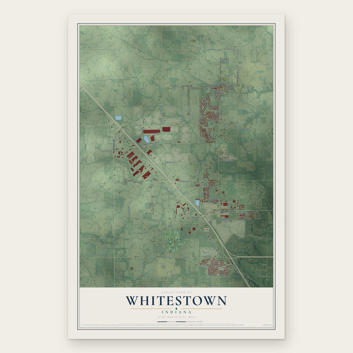
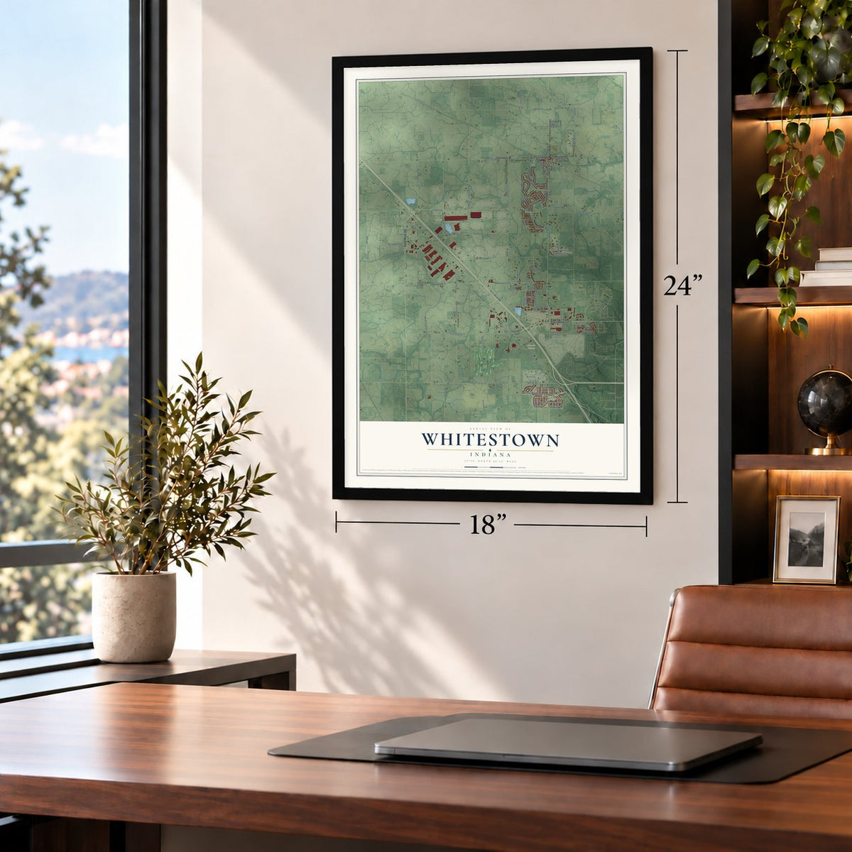
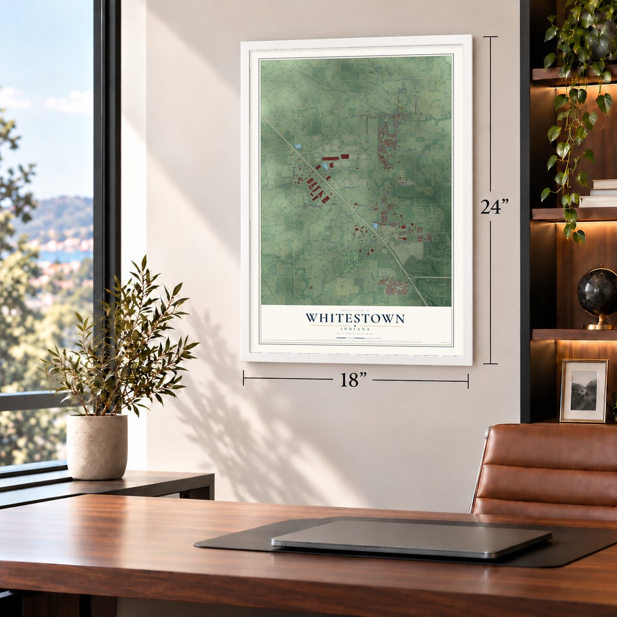
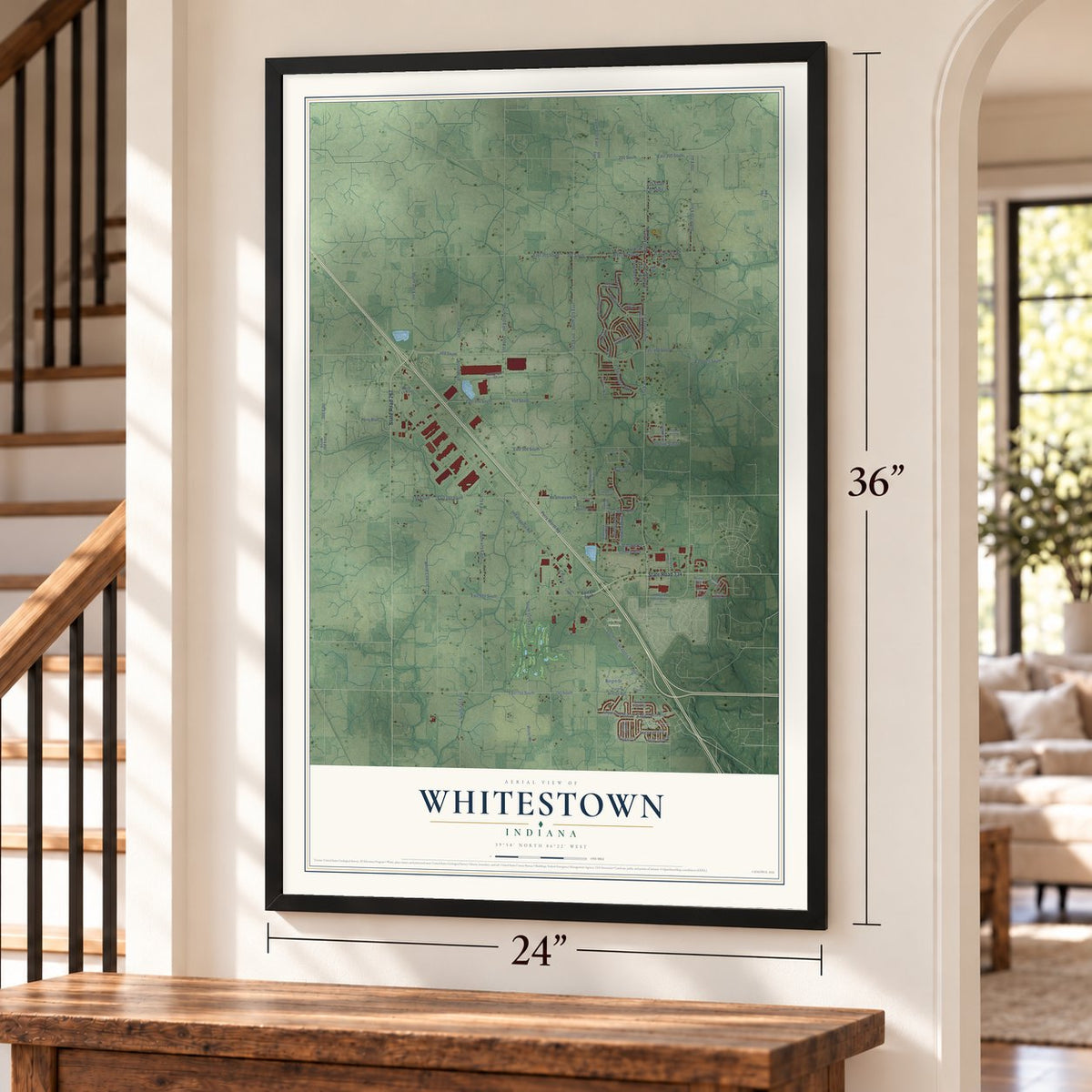
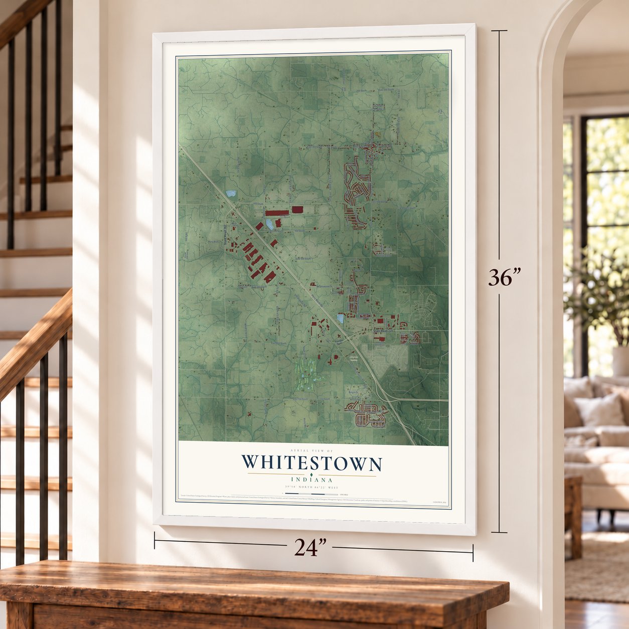
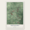
Whitestown, Indiana Map Art
Building by building, with labeled streets and shaded relief.
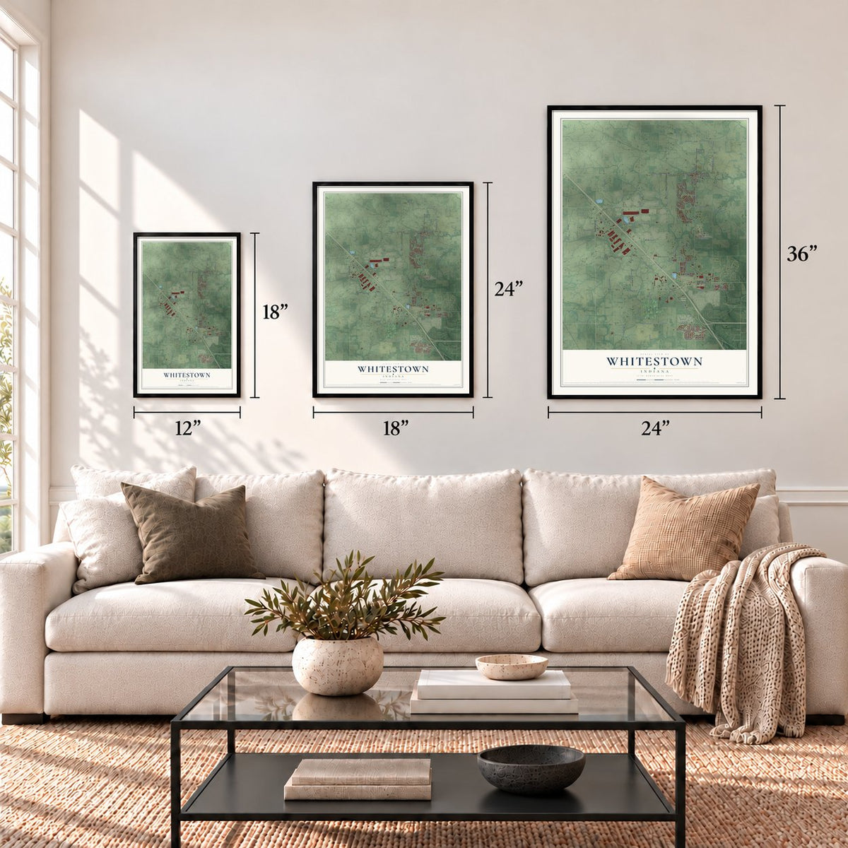
12" x 18" Archival Matte Print
A Map of Home. A Work of Art.
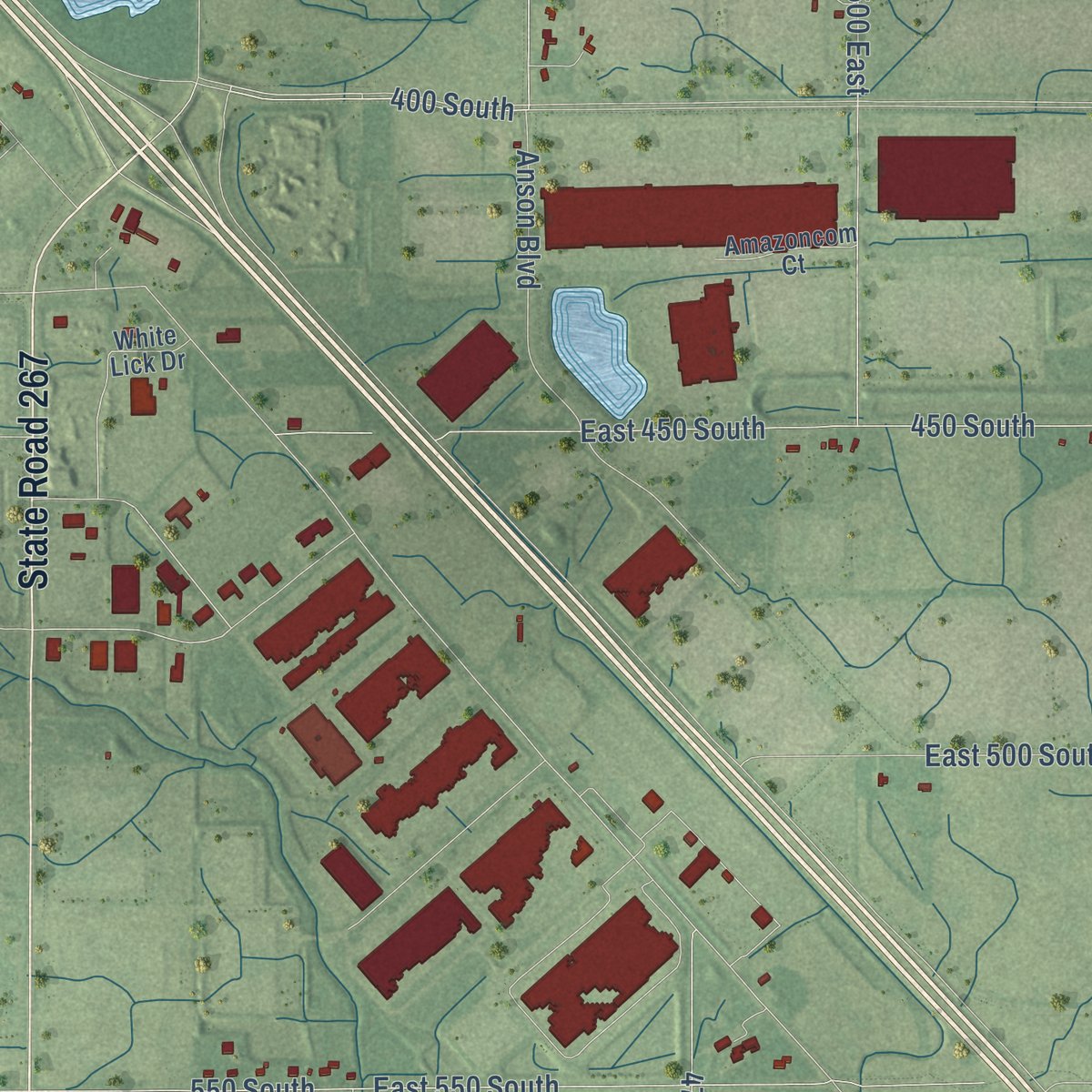
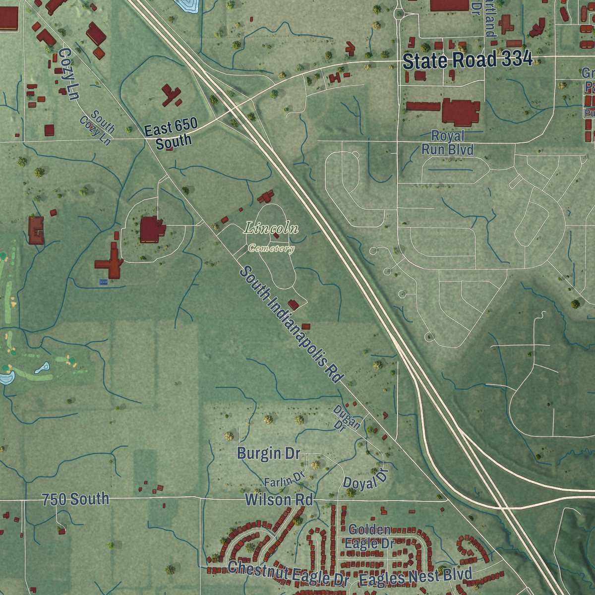
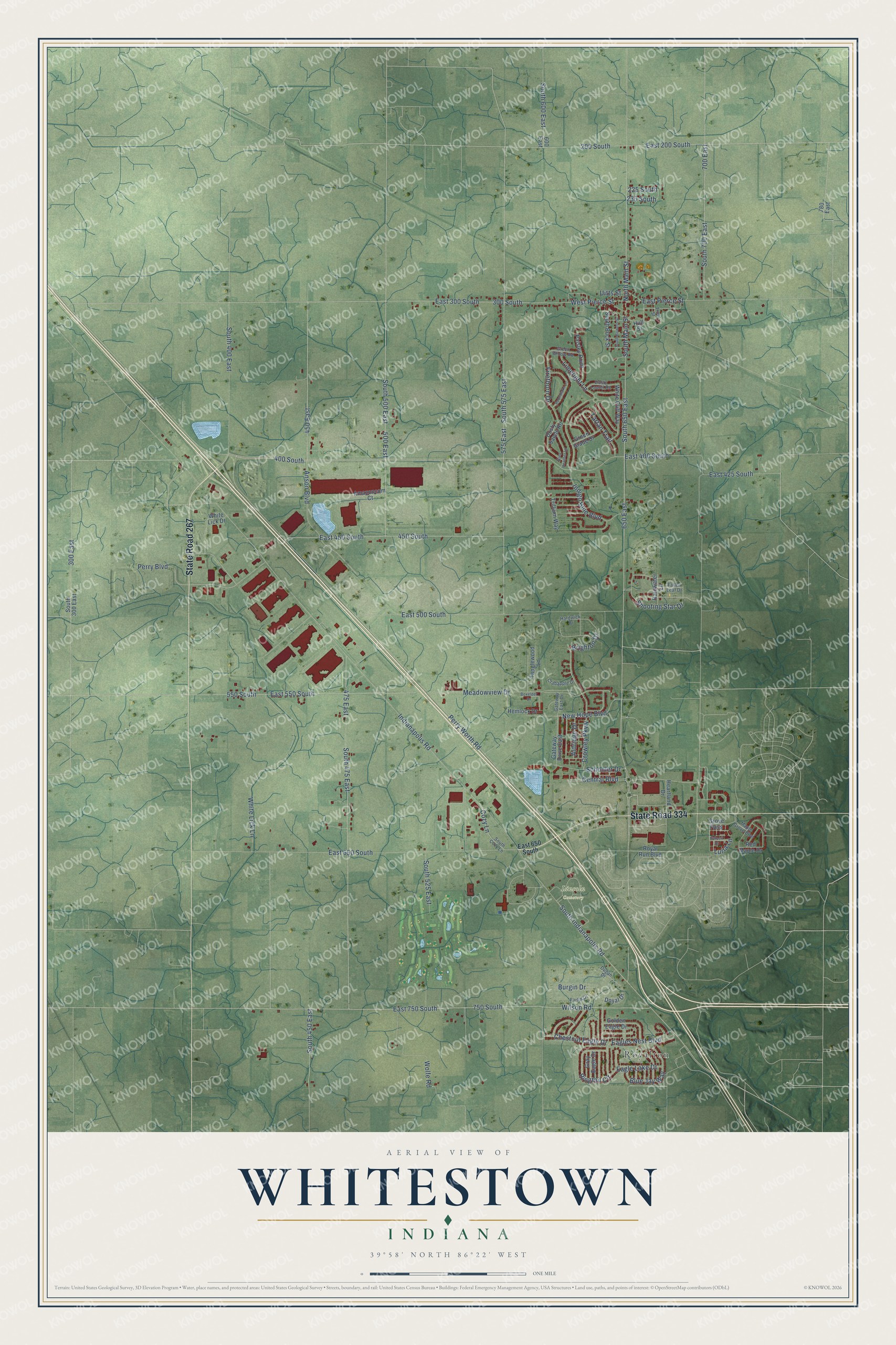
Explore Whitestown, Indiana from a whole new perspective. Created using aerial imagery and detailed geographic data, this map captures Whitestown building by building, with labeled streets, familiar landmarks, and shaded topographical relief that highlights the natural contours of the landscape.
Combining modern data with the timeless character of a vintage atlas, this map is just as interesting up close as it is beautiful on the wall. Whether you grew up in Whitestown, spent memorable years there, or call it home today, this unique map is a great way to celebrate a place that means something to you. Zoom in on the preview to look for your street, and then order a print to put your memories on the wall.
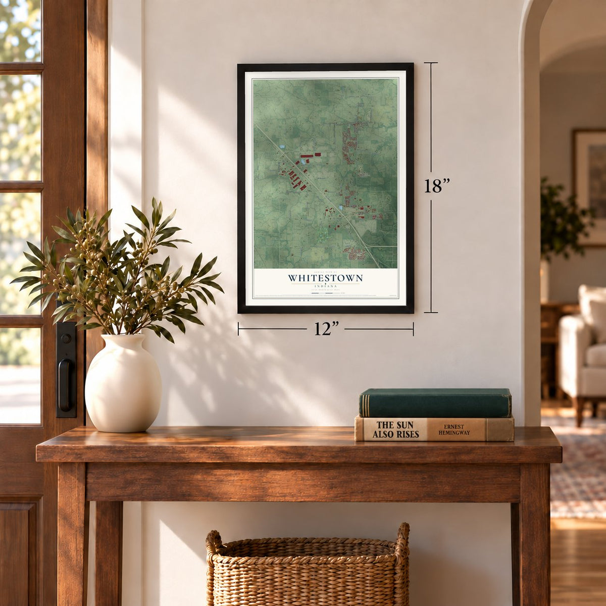
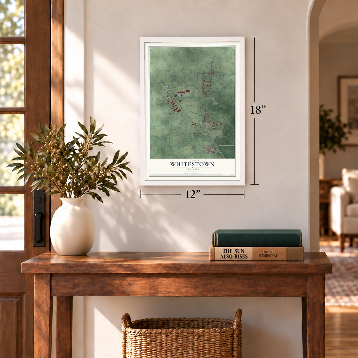
Three ways to hang it
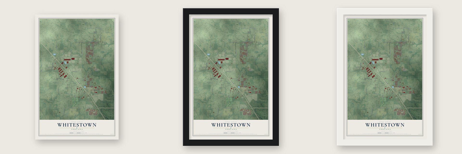
Unframed archival matte, a black wood frame or a white wood frame.
Up close
Geography Worth Displaying
This map was created using accurate cartographic data and authoritative geographic sources, including the U.S. Geological Survey and the Census Bureau. The map brings together terrain, waterways, roads, and building detail. The majority of the streets are labeled, houses are accurately depicted, and the topography is derived from government sources. Combining local data with carefully composed color and shading leads to this beautifully detailed Whitestown artwork for your wall.
Rather than simply showing street outlines, we’ve included as many of the street names as we could reasonably fit on the map while keeping their names legible. Zoom in on the high resolution preview to see exactly what’s on the map. We truly set out to create a statement piece for anyone who loves Whitestown. So whether it’s for you, or a gift for someone you love, we hope this map of Whitestown brings back fond memories.
Read the story behind this map of Whitestown, Indiana from 2026.
Find your street
Names on the Whitestown map
Every name below is printed on this map. Look for your street, your school, the park where you played, or the pond down the road.
Places and landmarks2
- Lincoln Cemetery
- Royalton
Streets and roads107
- State Road 267
- State Road 334
- Crowley Parkway
- East 400 South
- 400 South
- 650 East
- South 650 East
- Indigo Blue Boulevard
- Shooting Star Drive
- South Main Street
- 450 East
- South 450 East
- South Indianapolis Road
- East Pierce Street
- South 700 East
- West Pierce Street
- Indianapolis Road
- Perry Worth Road
- 575 East
- South 575 East
- 750 South
- East 750 South
- East 650 South
- East 500 South
- East 300 South
- 450 South
- East 450 South
- Wilson Road
- East 550 South
- 200 South
Show all 107 streets
- East 200 South
- 475 East
- South 475 East
- Central Boulevard
- 550 South
- White Lick Lane
- 300 South
- 500 East
- South 500 East
- 700 East
- Meadowview Drive
- Anson Boulevard
- South 600 East
- Firethorn Drive
- Wolfe Road
- Eagles Nest Boulevard
- Limelight Lane
- New Hope Boulevard
- South 525 East
- Schooler Drive
- Ringtail Circle
- South 400 East
- Blue Jay Way
- Chestnut Eagle Drive
- Burgin Drive
- Perry Boulevard
- Brighton Drive
- Tartan Trail
- Eagle Lake Drive
- 300 East
- East 425 South
- Cozy Lane
- Aldridge Drive
- 225 South
- North Main Street
- Uitts Street
- Luria Lane
- 230 South
- Red Maple Drive
- 600 East
- White Cliff Way
- Paisley Point
- South 300 East
- Dusty Sands Road
- Gateway Drive East
- Tanglewood Lane
- Doyal Drive
- Royal Run Boulevard
- South Buck Street
- Golden Eagle Drive
- Heartland Drive
- Hemlock Drive
- Amazoncom Court
- Green Glade Drive
- Trillium Way
- Rainwater Lane
- Gray Eagle Drive
- Grove Pass
- White Lick Drive
- 780 East
- Hull Street
- Hardwick Drive
- South Cozy Lane
- Maple Grove Boulevard
- Dusty Laurel Road
- Trout Street
- Green Willow Road
- Crabapple Drive
- Farlin Drive
- Fallen Leaf Drive
- Gateway East Drive
- Dugan Drive
- Roundlake Lane
- Grey Heather Lane
- South Bowers Street
- Purcell Drive
- Boxelder Drive
Names are listed as they appear on the printed map. Zoom into the product photos to find them.
About Whitestown, Indiana
Whitestown is a town of 10,178 people in Boone County, about 22 miles northwest of downtown Indianapolis. When the railroad came through in 1851, the town was laid out on Abram Neese's farm, halfway between Zionsville and Lebanon and about seven miles from each. A post office opened in 1853, but Whitestown did not incorporate as a town until 1947.
Worth Township had no water power, so the early settlers had to rely on steam to grind their grain. Before that, they hauled it to Zionsville, Mechanicsburg or Thorntown to be made into flour or meal. Isaac Dye and Alfred Osborn built the first grist mill in Whitestown, and when it burned a few years later, Henry Lucus rebuilt it. A third mill, built by J. W. Bowser to the most improved pattern, drew customers from this county and from other counties.
- Two possible namesakesNo one agrees on where the name came from. One account credits Indiana senator Albert Smith White, who was known as a leading abolitionist. The other credits Lemuel White, the first white settler to come to the community.
- First stores in townHarrison Spencer is said to have been the first man to sell goods in Whitestown, and Henry Lucus and William Laughner soon opened shops after him. The village grew into the trading center for Worth Township and for farmers from other townships. It sits near the highest point in Boone County.
- Anson and a growth boomIn 2005 a planned development named for Anson Mills, a U.S. Army officer born in Boone County, began on land south of the old downtown, and in the late 2000s the town annexed 6,500 acres there. The Great Recession slowed construction, but homes and stores picked up from 2011. Since 2010 Whitestown has grown faster than any other Indiana municipality, and its population more than tripled by 2020.
- Old rail line, new trailTrains used the railroad that created Whitestown from 1852, and the line was finally abandoned in 1976. The town started converting it into the Big 4 Heritage Trail in 2015, and the trail also reaches Lebanon and Zionsville. A $1.1 million grant in April 2022 paid to finish the Whitestown stretch, and the work was done in October 2023.
- Little League headquartersWhitestown is home to the Little League Central Region headquarters. Its complex opened in 2021 with an office building, a gift shop and a lighted field with a press box and stadium seating, and it hosts regional softball and baseball tournaments.
Keep exploring Indiana
Whitestown is one of 1,023 Indiana towns we've mapped. Every dot on the map is a print of its own.
The search covers every state, Indiana first.
Near Whitestown
Order 2 or more town maps and save 10%. Shown in the size and finish you picked above, so they hang as a set.
- Zionsville 12" x 18" / Archival Matte Print $39.99
- Lebanon 12" x 18" / Archival Matte Print $39.99
- Ulen 12" x 18" / Archival Matte Print $39.99
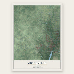
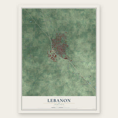
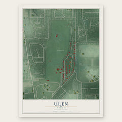
More maps nearby: Pittsboro, Brownsburg, Elizaville, Lizton and Clermont.
The art of mapping a place
How This Map Was Made
Real places. Remarkable detail. Discover the layers that turn geographic data into a map of home.

The view from above
Aerial imagery reveals the character of the land: woodland, open fields, and the patterns of a place.

The shape of the land
Elevation data brings hills, valleys, and subtle changes in the landscape into view.

The details of home
Roads, waterways, and building footprints come together to make the map feel unmistakably local.

Geography becomes art
Considered color, shading, and typography bring the layers together in a map made for your wall.


Process illustrated with Mendon, Massachusetts. Aerial imagery: USDA NAIP. Terrain: USGS 3D Elevation Program. Map details and finished artwork: KNOWOL.
The Details
About This Print
Choose an archival matte print, or a black or white Ayous wood frame. The archival matte print is unframed.
Select your size and finish above to see the matching product image and price.
Materials & Craftsmanship
A contemporary map with the character of a classic atlas, printed on archival matte paper. Optional frames are made from Ayous wood.
Your printed map does not include the watermark shown in the full-map preview.
Shipping & Delivery
Free shipping within the United States. Every print is made to order in the USA.
Buying a gift? Add a note in your cart and we'll include it. We never put prices in the package.
Prints ship within 2 to 3 business days. Allow 7 to 10 days total from ordering for delivery. Timing may vary during holidays or periods of high order volume.
Read our shipping policy.
Returns and damaged prints
Each print is made to order. Change-of-mind refunds are not available after production.
If your print arrives damaged, misprinted or incorrect, contact support@knowol.com within 30 days of receiving it. Include your order number, photos and a description of the issue.
Read our full refund and replacement policy. For questions about your order, email support@knowol.com.