
Search for another town




Free U.S. delivery 7 to 10 days after you order
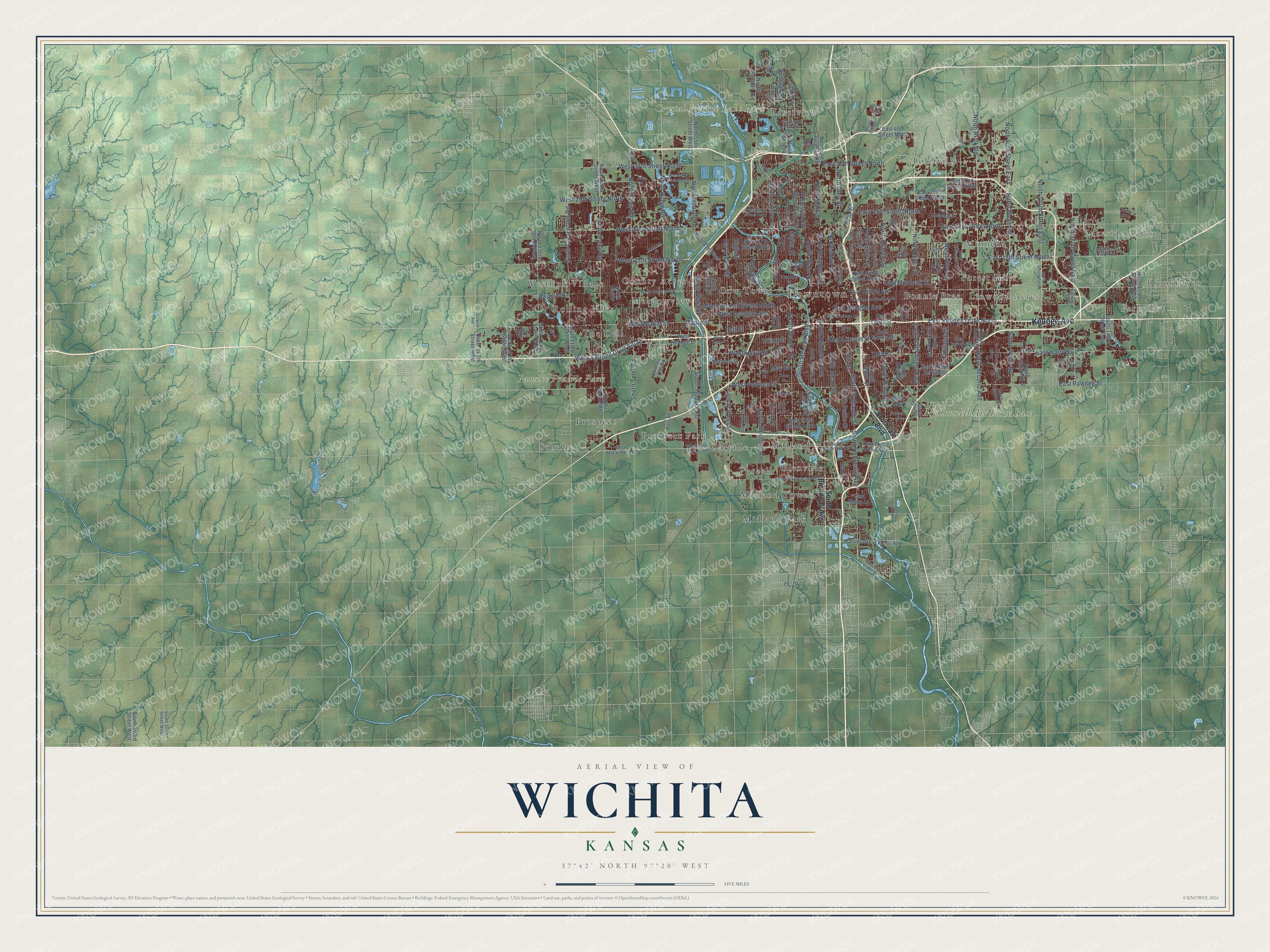
Wichita, Kansas Map Art
A new map of Wichita, Kansas, made in 2026 and printed to order on thick archival matte paper.
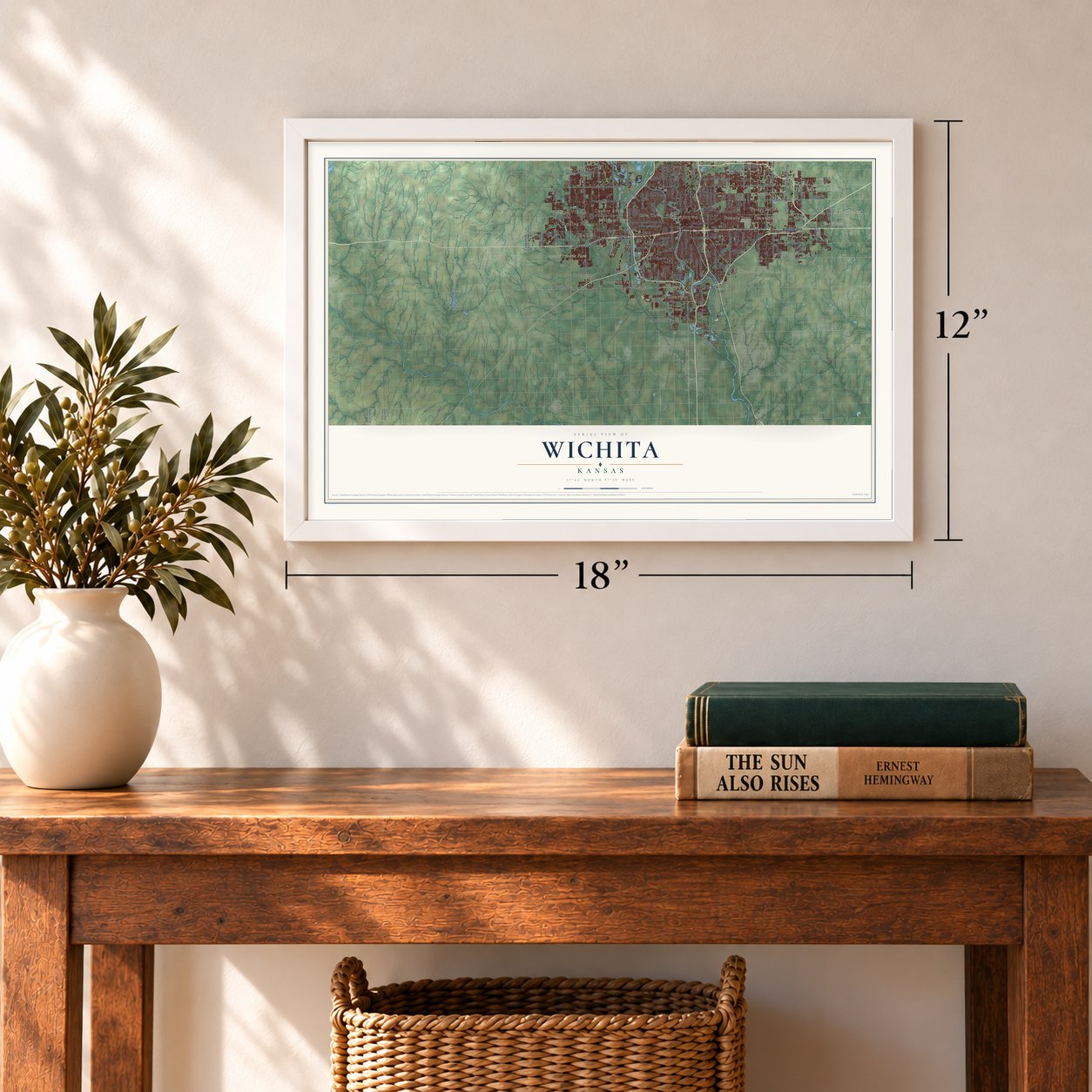
12" x 18" Archival Matte Print
A Map of Home. A Work of Art.
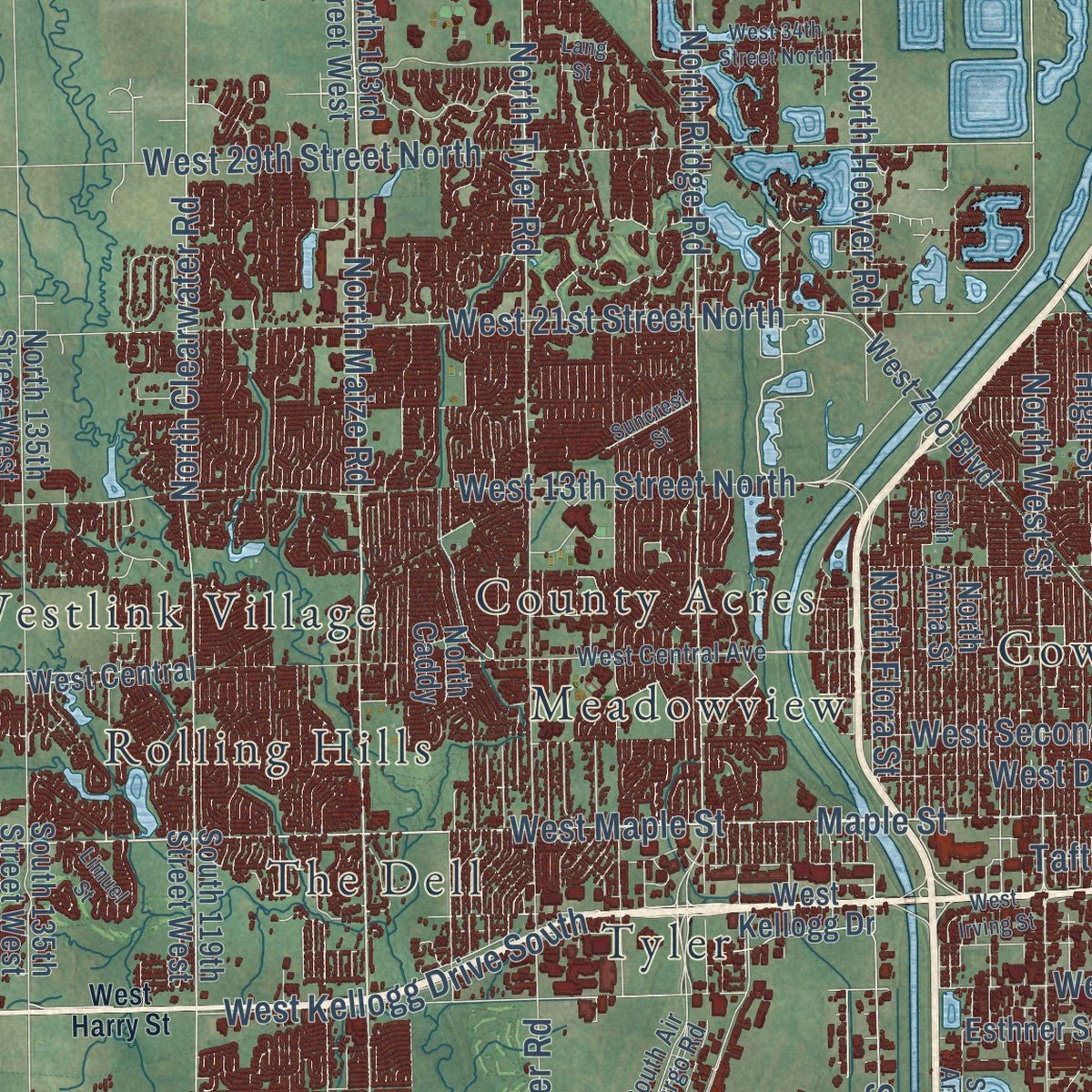
Explore Wichita, Kansas from a whole new perspective. Created using aerial imagery and detailed geographic data, this map captures Wichita building by building, with labeled streets, familiar landmarks, and shaded topographical relief that highlights the natural contours of the landscape.
Combining modern data with the timeless character of a vintage atlas, this map is just as interesting up close as it is beautiful on the wall. Whether you grew up in Wichita, spent memorable years there, or call it home today, this unique map is a great way to celebrate a place that means something to you. Zoom in on the preview to look for your street, and then order a print to put your memories on the wall.
Three ways to hang it
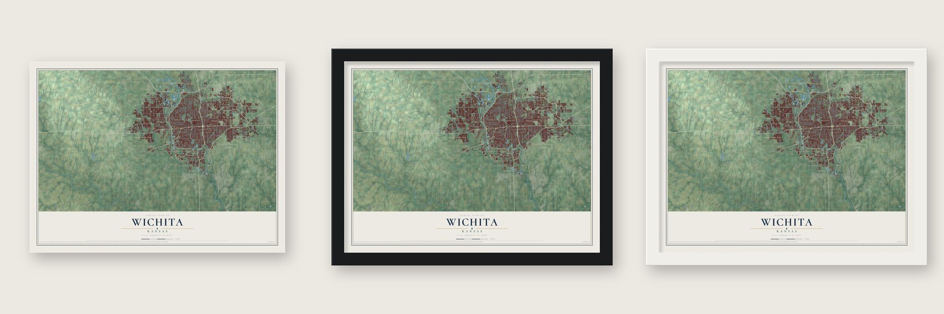
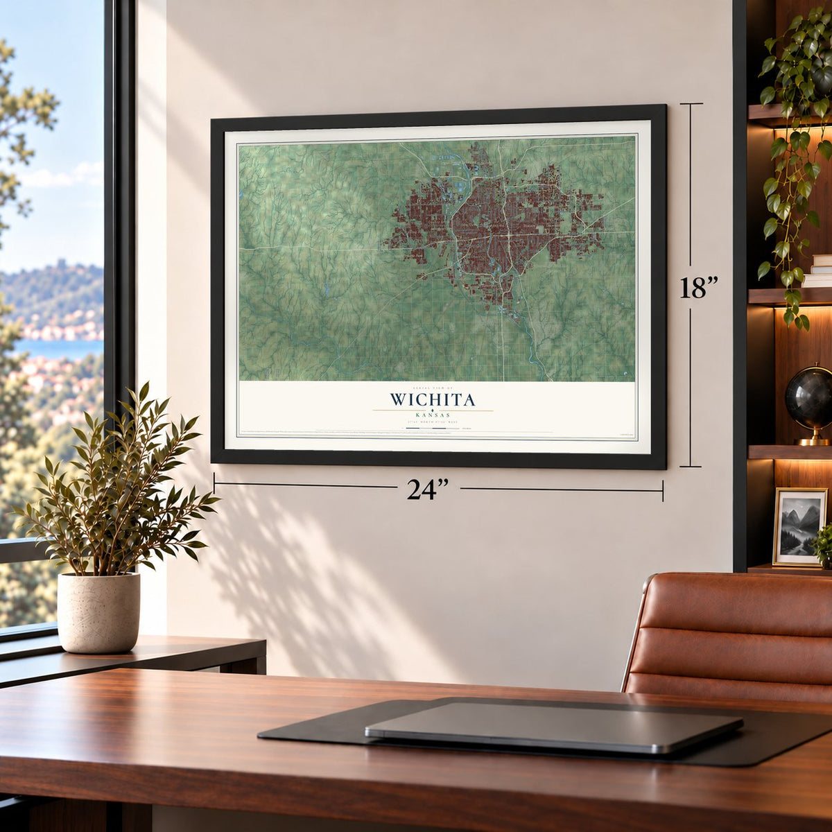
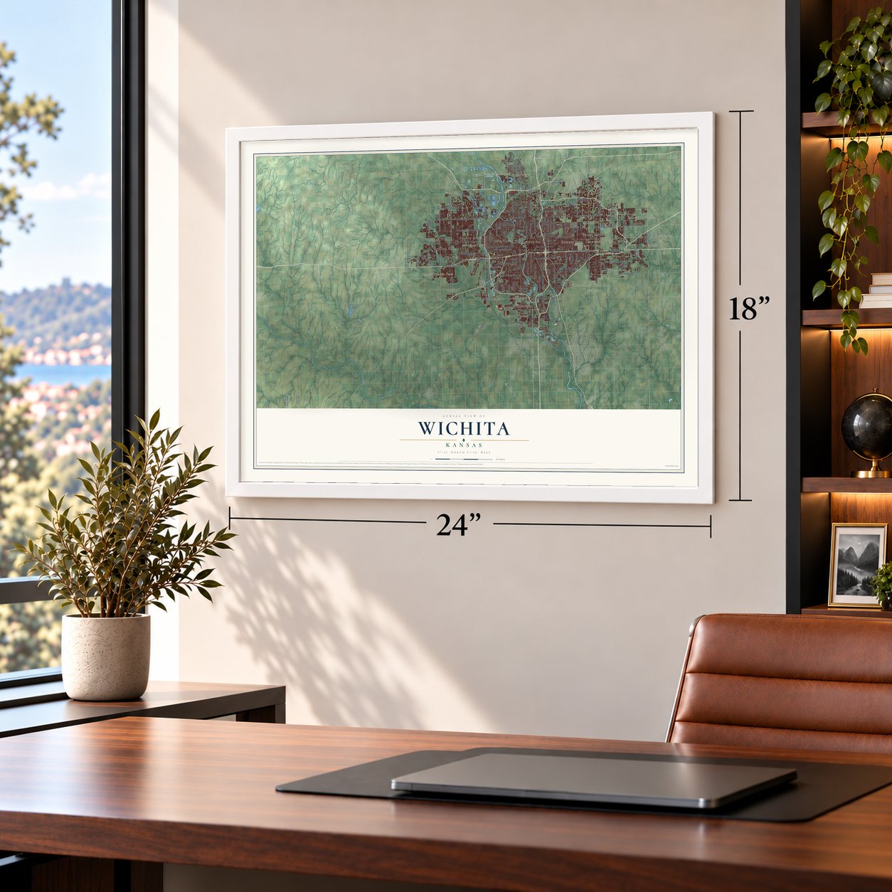
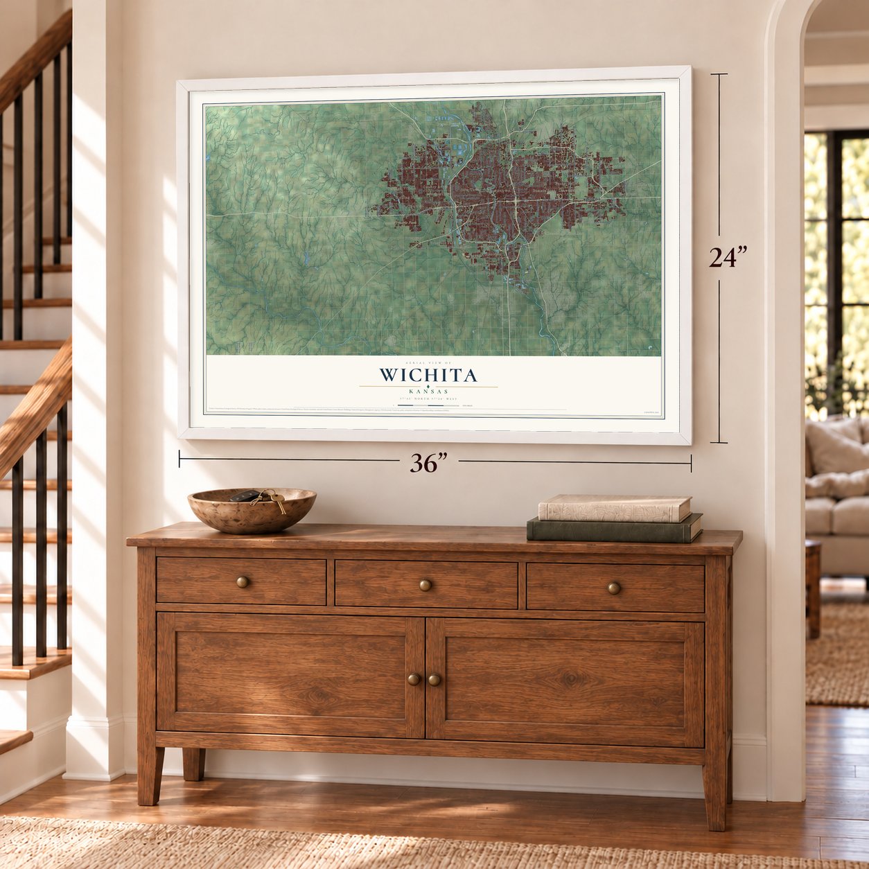
Unframed archival matte, a black wood frame or a white wood frame.
Up close
Geography Worth Displaying
This map was created using accurate cartographic data and authoritative geographic sources, including the U.S. Geological Survey and the Census Bureau. The map brings together terrain, waterways, roads, and building detail. The majority of the streets are labeled, houses are accurately depicted, and the topography is derived from government sources. Combining local data with carefully composed color and shading leads to this beautifully detailed Wichita artwork for your wall.
Rather than simply showing street outlines, we’ve included as many of the street names as we could reasonably fit on the map while keeping their names legible. Zoom in on the high resolution preview to see exactly what’s on the map. We truly set out to create a statement piece for anyone who loves Wichita. So whether it’s for you, or a gift for someone you love, we hope this map of Wichita brings back fond memories.
Read the story behind this map of Wichita, Kansas from 2026.

About Wichita, Kansas
Wichita is the largest city in Kansas, with 397,532 people, and the county seat of Sedgwick County. It grew where the Little Arkansas River joins the Arkansas. The Wichita people camped on the Little Arkansas in 1863, after Confederate forces drove them from Indian Territory during the Civil War. They went back south in 1867. In 1868 trader James R. Mead and other investors formed a town company. Surveyor Darius Munger put up a log building that served as hotel, post office and meeting place. Munger and William "Dutch Bill" Greiffenstein filed plats for the first streets in 1870, and the city was incorporated on July 21 that year.
The Atchison, Topeka and Santa Fe Railway arrived in 1872. Texas cattle herds then came up the Chisholm Trail to ship east from here, and Wichita earned the name Cowtown. Across the river, Delano filled with saloons and had no police. Wyatt Earp joined the city marshal's office on April 21, 1875, at $100 a month. He and Marshal Mike Meagher brought the law to Delano. The herds soon shifted west to Dodge City, and Wichita took in Delano in 1880.
“The history of the city begins with the establishment of a trading post at that point in 1863 by J. R. Mead. The Wichita Indians were then occupying the land and the town was named for that tribe.”
- Air Capital of the WorldClyde Cessna built the Cessna Comet here in 1917, the first airplane made in Wichita. In 1920 two local oilmen brought in Chicago builder Emil "Matty" Laird, and his Swallow Airplane Company employed Lloyd Stearman and Walter Beech. Stearman started his own firm in 1926, Cessna in 1927 and Beech in 1932. In 1929 the Aeronautical Chamber of Commerce named Wichita the Air Capital of the World.
- Oil money from 1914Oil and natural gas turned up in nearby Butler County in 1914 and 1915. Refineries, fueling stations and company offices followed. Wichita had five working refineries by 1917, and seven more were built in the 1920s. Fred C. Koch and Archibald Derby both started their careers here, and the oil money helped pay for the first aircraft companies.
- B-29 bombers in wartimeDuring World War II, Boeing built B-29 bombers in Wichita, and aircraft workers poured in from across the central states. The city grew from 110,000 to 184,000 people. The Air Force took over the airport in 1951 to create McConnell Air Force Base.
- Mentholatum, White Castle, Pizza HutA. A. Hyde founded Mentholatum here in 1889, and the Mentholatum Company Building is on the National Register. White Castle began in Wichita in 1921, and Pizza Hut followed in 1958.
- A Carnegie library in 1915Wichita's early library associations had a hard time, and the second one closed in 1885. In 1911 a letter from the city clerk reached Andrew Carnegie, and he offered $75,000 toward a building. That gift paid for the Wichita Carnegie Library, which opened its doors on May 14, 1915. The Wichita City Carnegie Library Building is now on the National Register.
Find your street
Names on the Wichita map
Every name below is printed on this map. Look for your street, your school, the park where you played, or the pond down the road.
Places and landmarks29
- Downtown
- Brookhaven
- Park East
- Lakeside Acres
- Linwood Acres
- McConnell Air Force Base
- Crystal Prairie Lake Park
- Pawnee Prairie Park
- Bonnie Brae
- County Acres
- Cow Town
- Forest Hills
Show all 29 places
- Glenville
- Meadowview
- Midland
- Midland Park
- Midland Tower
- Minneha
- Oatville
- Prospect
- Prospect Park
- Purcell
- Riverview
- Rolling Hills
- Schulte
- The Dell
- Tolerville
- Tyler
- Westlink Village
Streets and roads189
- Kellogg Avenue
- West Maple Street
- South Seneca Street
- East Lincoln Street
- North Hillside Street
- North Oliver Street
- West Pawnee Street
- West Douglas Avenue
- North Maize Road
- South Hillside Street
- South 47th Street East
- North Amidon Avenue
- North Grove Street
- East 21st Street North
- East Harry Street
- 15th Street
- East 13th Street North
- North Second Avenue
- West 13th Street North
- East 37th Street North
- West 21st Street North
- West 29th Street North
- South Hydraulic Street
- East Pawnee Street
- East Douglas Avenue
- South Meridian Avenue
- North Rock Road
- West Harry Street
- West 37th Street North
- North Webb Road
Show all 189 streets
- South West Street
- South Broadway Avenue
- North Broadway Street
- North Ridge Road
- North Tyler Road
- West Second Street North
- North Hoover Road
- Arkansas Avenue
- South Hoover Road
- South Tyler Road
- West Kellogg Drive South
- East Kellogg Drive North
- Maple Street
- North 111th Street East
- South Pattie Street
- North Market Street
- North 95th Street East
- East Murdock Street
- North 63rd Street
- North West Street
- South Hydraulic Avenue
- Ellis Street
- North Waco Street
- Salina Street
- North 127th Street East
- South Mead Street
- South Webb Road
- South McLean Boulevard
- East 25th Street North
- Hiram Street
- Piatt Street
- Taft Street
- North Clearwater Road
- Woodland Street
- Fabrique Street
- North Mead Street
- Sullivan Road
- Hood Street
- Perry Street
- Irving Street
- May Street
- North Ohio Street
- North Flora Street
- High Street
- Southeast Boulevard
- East Central Avenue
- East 29th Street North
- South Maize Road
- North Seneca Street
- South Mc Lean Boulevard
- North Meridian Avenue
- East Mount Vernon Street
- East Morris Street
- West 17th Street North
- East 45th Street North
- East Ninth Street North
- West Kellogg Drive
- South Rock Road
- North 135th Street West
- South 119th Street West
- North 55th Street West
- East Lewis Street
- South Grove Street
- North Saint Paul Street
- North 159th Street East
- East Mac Arthur Road
- West 33rd Street South
- West Zoo Boulevard
- South Edgemoor Street
- South 135th Street West
- Esthner Street
- South 143rd Street East
- North Anna Street
- East 32nd Street North
- South Bluff Street
- South 167th Street West
- North Old Lawrence Road
- North 103rd Street West
- West Central
- South 151st Street West
- South Cranbrook Street
- Patriot Avenue
- South 343rd Street West
- East Mona Lane
- Ross Parkway
- North Caddy
- Vesta Drive
- Ida Street
- Kevin Street
- Kite Street
- West Central Avenue
- South Oliver Street
- West Macarthur Road
- East Bayley Street
- South Vine Street
- Lulu Street
- South Wichita Street
- North Armstrong Street
- North Volutsia Street
- Wabash Street
- East Macarthur Road
- West 39th Street South
- West Taft Street
- Legion Street
- South Anna Street
- Orient Boulevard
- South Linden Street
- Franklin Street
- Chase Street
- Capri Lane
- South 327th Street West
- Tara Falls
- North New York Street
- Ohio Street
- South Air Cargo Road
- Delaware Street
- Rita Street
- East Patroit Avenue
- Dallas Street
- Garnett Street
- Sport of Kings Lane
- South Cider Street
- Dale Avenue
- Tyler Road
- 24th Street
- Colwich Avenue
- East Second Street North
- North Greenwich Road
- South Clifton Avenue
- North Hydraulic Avenue
- East Waterman Street
- West 47th Street South
- South Sheridan Street
- South Fern Street
- West 25th Street North
- South 127th Street East
- West 34th Street North
- North Yale Street
- South Ridge Road
- Porter Street
- East Mainsgate Road
- West Irving Street
- North Lawrence Lane
- South Belmont
- Suncrest Street
- North Porter Street
- West 47th Street North
- South Longford Lane
- North Womer Street
- Lotus Street
- Dunham Street
- Spring Drive
- Marble Falls Street
- Limuel Street
- South Todd Street
- Bluffview Street
- Bitting Street
- Smith Street
- Lang Street
Names are listed as they appear on the printed map. Zoom into the product photos to find them.
The art of mapping a place
How This Map Was Made
Real places. Remarkable detail. Discover the layers that turn geographic data into a map of home.

The view from above
Aerial imagery reveals the character of the land: woodland, open fields, and the patterns of a place.

The shape of the land
Elevation data brings hills, valleys, and subtle changes in the landscape into view.

The details of home
Roads, waterways, and building footprints come together to make the map feel unmistakably local.

Geography becomes art
Considered color, shading, and typography bring the layers together in a map made for your wall.


Process illustrated with Mendon, Massachusetts. Aerial imagery: USDA NAIP. Terrain: USGS 3D Elevation Program. Map details and finished artwork: KNOWOL.
The Details
About This Print
Choose an archival matte print, or a black or white Ayous wood frame. The archival matte print is unframed.
Select your size and finish above to see the matching product image and price.
Materials & Craftsmanship
A contemporary map with the character of a classic atlas, printed on archival matte paper. Optional frames are made from Ayous wood.
Your printed map does not include the watermark shown in the full-map preview.
Shipping & Delivery
Free shipping within the United States. Every print is made to order in the USA.
Buying a gift? Add a note in your cart and we'll include it. We never put prices in the package.
Prints ship within 2 to 3 business days. Allow 7 to 10 days total from ordering for delivery. Timing may vary during holidays or periods of high order volume.
Read our shipping policy.
Returns and damaged prints
Each print is made to order. Change-of-mind refunds are not available after production.
If your print arrives damaged, misprinted or incorrect, contact support@knowol.com within 30 days of receiving it. Include your order number, photos and a description of the issue.
Read our full refund and replacement policy. For questions about your order, email support@knowol.com.
Find your town
Looking for another city?
Find a map of home in our Kansas collection, or any town in the country.
Nearby
Maps of towns near Wichita
Know someone from one of these towns? Their map makes a great gift.
 Eastborough
, Kansas
From $39.99See the map
 McConnell AFB
, Kansas
From $39.99See the map
 Oaklawn-Sunview
, Kansas
From $39.99See the map
More maps nearby: Bel Aire, Park City, Kechi, Maize and Haysville.