
Search for another town

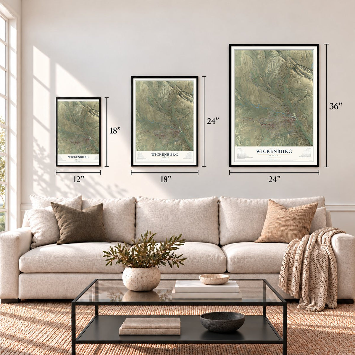
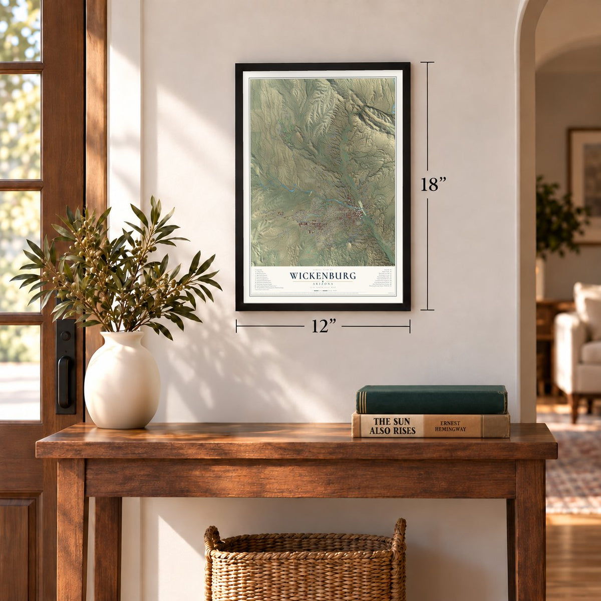
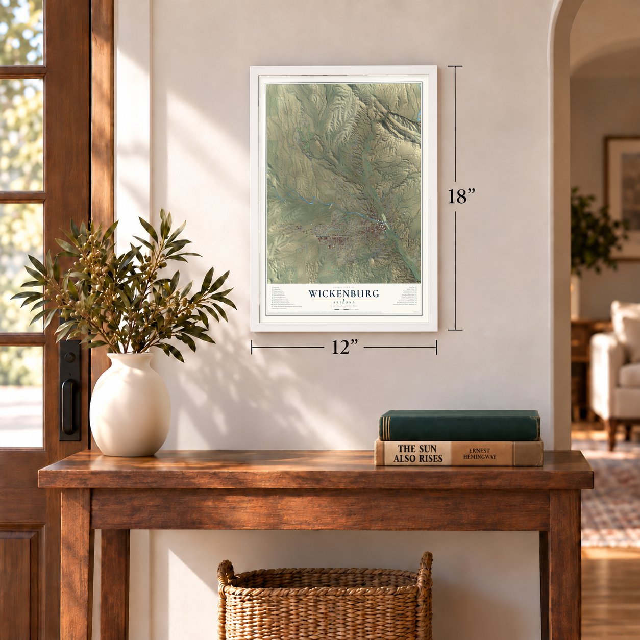

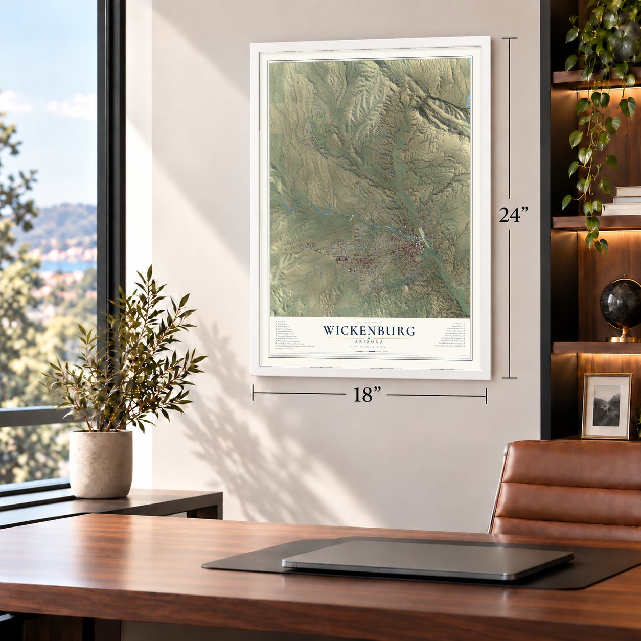


Free U.S. delivery 7 to 10 days after you order
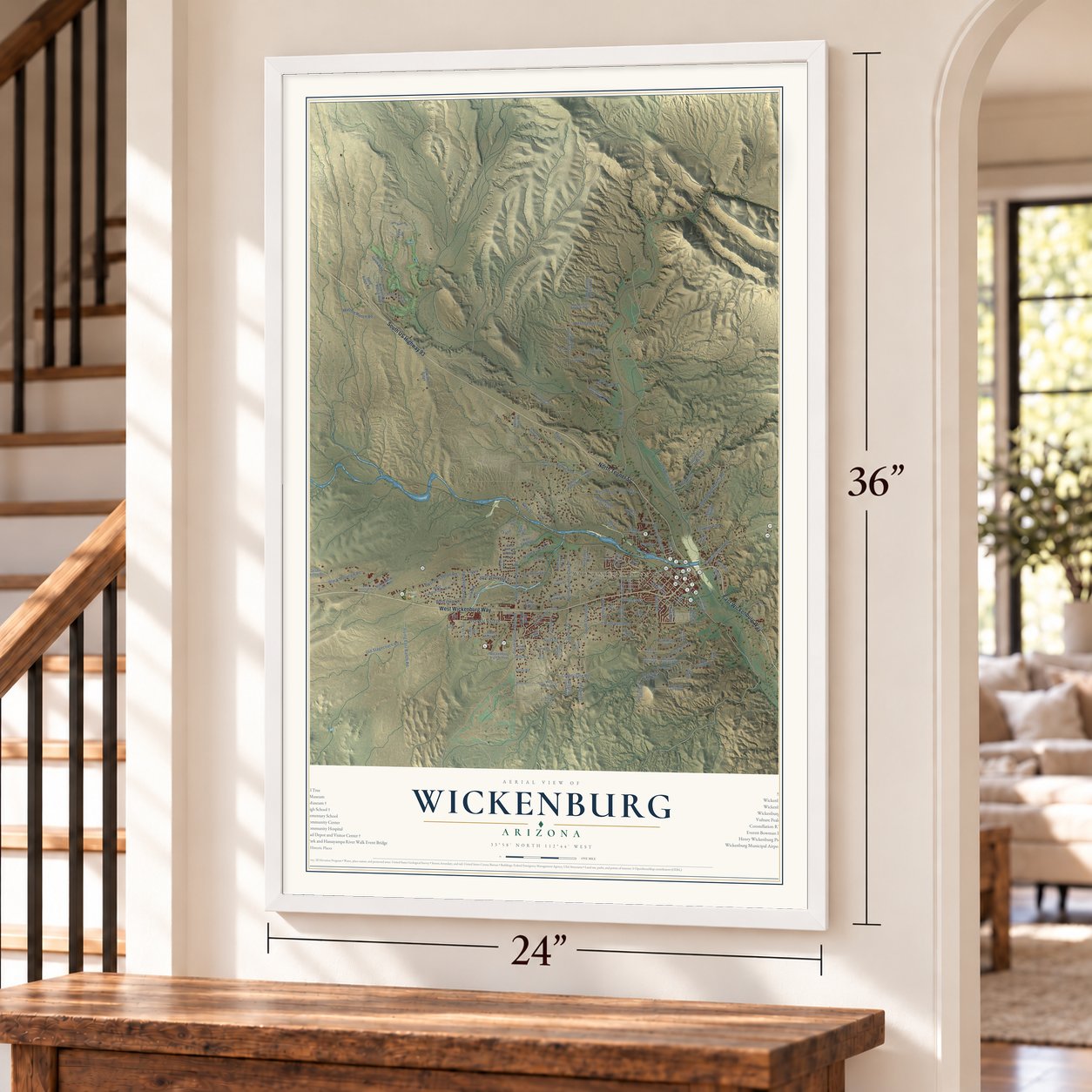
Wickenburg, Arizona Map Art
Building by building, with labeled streets and shaded relief.
12" x 18" Archival Matte Print
A Map of Home. A Work of Art.
Explore Wickenburg, Arizona from a whole new perspective. Created using aerial imagery and detailed geographic data, this map captures Wickenburg building by building, with labeled streets, familiar landmarks, and shaded topographical relief that highlights the natural contours of the landscape.
Combining modern data with the timeless character of a vintage atlas, this map is just as interesting up close as it is beautiful on the wall. Whether you grew up in Wickenburg, spent memorable years there, or call it home today, this unique map is a great way to celebrate a place that means something to you. Zoom in on the preview to look for your street, and then order a print to put your memories on the wall.

Three ways to hang it
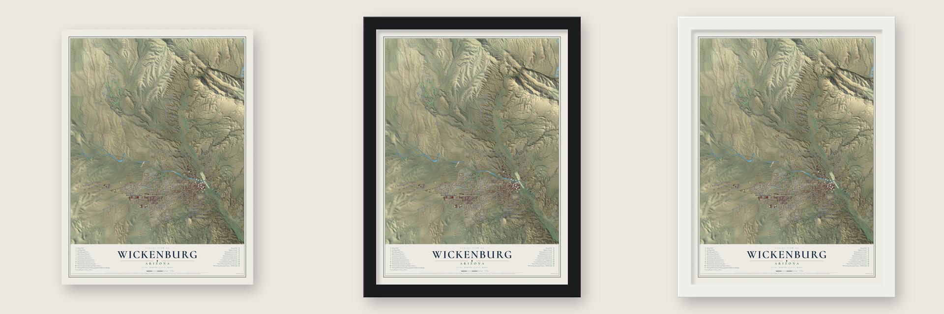
Unframed archival matte, a black wood frame or a white wood frame.
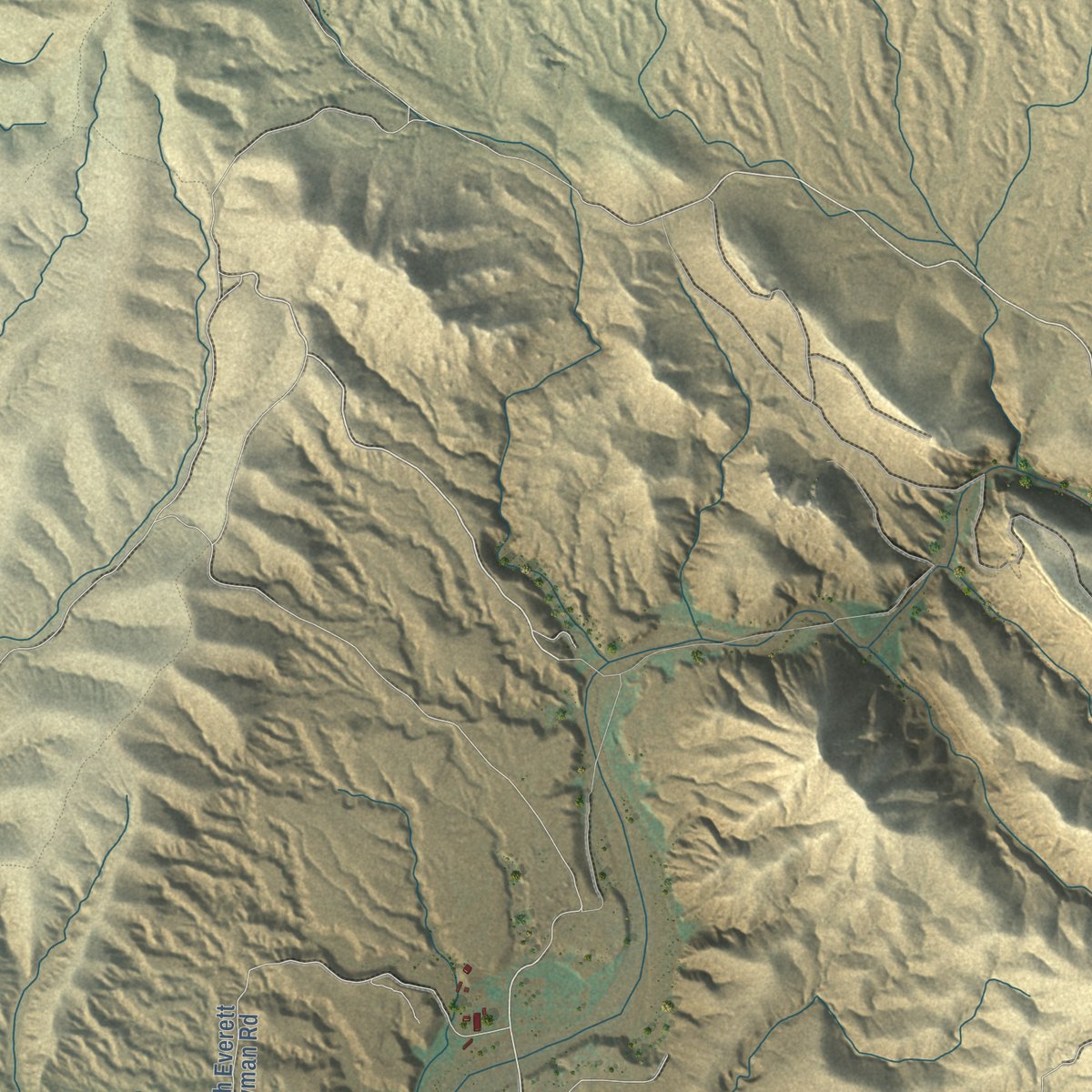
Up close
Geography Worth Displaying
This map was created using accurate cartographic data and authoritative geographic sources, including the U.S. Geological Survey (USGS) and FEMA. The map brings together terrain, waterways, roads, and building detail. The majority of the streets are labeled, houses are accurately depicted, and the topography is derived from government sources. Combining local data with carefully composed color and shading leads to this beautifully detailed Wickenburg artwork for your wall.
Rather than simply showing street outlines, we’ve included as many of the street names as we could reasonably fit on the map while keeping their names legible. Zoom in on the high resolution preview to see exactly what’s on the map. We truly set out to create a statement piece for anyone who loves Wickenburg. So whether it’s for you, or a gift for someone you love, we hope this map of Wickenburg brings back fond memories.
Explore the full map of Wickenburg, Arizona and read about the local places it shows.
Find your street
Names on the Wickenburg map
Every name below is printed on this map. Look for your street, your school, the park where you played, or the pond down the road.
Places and landmarks2
- Wickenburg Town Hall
- Sunset Park
Streets and roads142
- North Tegner Street
- South US Highway 93
- West Wickenburg Way
- East Wickenburg Way
- Kenrick Drive
- Rincon Road
- Easy Street
- West Val Vista Drive
- Flying East Ranch Road
- North Country Club Drive
- North Vulture Mine Road
- Jack Burden Road
- Constellation Road
- South Vulture Mine Road
- Stonehedge Ranch Road
- Black Mountain Road
- Palo Verde Drive
- South Ocotillo Drive
- West Tellier Trail
- Kellis Road
- West Monte Vista Trail
- West Highridge Road
- Vista Drive
- Old Stagecoach Road
- Los Altos Drive
- Falcon Drive
- America Street
- North Yucca Drive
- County Line Road
- Aircleta Drive
Show all 142 streets
- Amaranth Drive
- West Pinto Place
- Kay el Bar Road
- Saguaro Drive
- West Percheron Road
- Three Crosses Road
- Thurber Road
- Matthie Ranch Road
- 323rd Avenue
- Palm Drive
- South Tegner Street
- Sanborn Road
- Park Street
- 337th Avenue
- Via Tortuga Drive
- Pueblo Vis
- West Via Tortuga Drive
- Wickenburg Ranch Way
- South Everett Bowman Road
- North Lazy Fox Road
- Horseshoe Trail
- Mountain Side Loop
- North Grantham Hills Trail
- Wickenburg High School
- South Blue Tank Trail
- North Madison Street
- Mountainview Drive
- Bralliar Road
- West Camino Drive
- South Grantham Hills Trail
- Ironwood Place
- Peaceful Ridge
- Loma Linda Drive
- West Saddleridge Way
- Yaqui Drive
- North Forty Road
- Desert Willow Drive
- South Howard Court
- Mountain Ridge Drive
- West Manrad Drive
- Blue Tank Trail
- North Monte Vista Trail
- North Sabin Brown Road
- South Jackson Street
- West Yance Drive
- Turtleback Lane
- South 309th Drive
- Miners Gulch Way
- Sierra Vista Drive
- Cll Azul
- South West Road
- Gold Ridge Road
- 336th Avenue
- West Penn Lane
- Duffy Road
- South Lazy Fox
- Corral Drive
- Vulture Mine Road
- Bass Road
- Brunner Lane
- Sullivan Street
- Logan Way
- Luray Road
- West Miner Road
- Bromm Lane
- Lupine Lane
- Noble Drive
- Agua Drive
- Earl Drive
- South Mountain Side Loop
- West Larrea Trail
- West Grantham Ranch Road
- West Bralliar Road
- South Mariposa Drive
- North Mariposa Drive
- North 329th Avenue
- South Everett Bowman Trail
- West Via Tortuga
- Rising Sun Ridge
- Santa Fe Drive
- Oasis Drive
- Gold Dust Lane
- Lipinski Lane
- West Via del Cielo
- 328th Avenue
- Manrad
- Paloma Solita
- Weaver Street
- Cam Real
- Duff Road
- Pike Drive
- Saddle Back Trail
- West Cherokee Lane
- Josey Wales Way
- Hillside Drive
- West Rio Escondido Place
- North Cucuracha Street
- Dallas Drive
- West Rawhide Trail
- West Industrial Road
- West Jones Road
- Villa Drive
- Cam de Alegre
- Sophie Burden Drive
- West Cactus Drive
- Cove Court
- Penn Lane
- Via Tartuga
- Encelia Court
- Santa Fe Circle
- West Via Solana Drive
- 327th Avenue
Names are listed as they appear on the printed map. Zoom into the product photos to find them.
About Wickenburg, Arizona
Wickenburg is a town of 7,474 people on the Hassayampa River, in Maricopa County, with its northern edge reaching into Yavapai County. Henry Wickenburg, born in Essen in Prussia, came to the United States in 1847 and learned to prospect in California. In 1862 he entered the Arizona country with Pauline Weaver's party. The others ignored a quartz ledge he had spotted about fourteen miles from camp, so he went back alone. It was the Vulture Mine, found in 1863, and more than $30 million in gold has come out of it.
Ranchers and farmers settled the fertile plain beside the river, and they joined the miners in founding the town that same year. Steamboats brought supplies up the Colorado River, and wagons and pack mules carried them overland from La Paz. Wickenburg in turn supplied the mines and Army posts deeper in the territory, and in 1866 the new legislature came within two votes of making it the capital. War with the Yavapai, outlaws, mine closures and drought followed. In 1890 the Walnut Creek Dam gave way, and the flood killed nearly 70 people. The town kept growing anyway, and the railroad's arrival in 1895 secured its future.
- The prospector who built a townHenry Wickenburg stayed to help run the place that took his name. He was its postmaster and justice of the peace, served on the school board, granted the railroad an easement into town and gave land for the first permanent church. His adobe house on Washington Street is known today as the Wickenburg-Boetto House.
- A wooden depot from 1895The Santa Fe held the dedication for its Wickenburg depot on July 29, 1895, and it is one of the oldest wooden Santa Fe stations left in Arizona, still very close to its original form. Passenger service ended in May 1969, after the railroad dropped the Hassayampa Flyer, its daily run from Phoenix up to Williams Junction. The town marked the depot's hundredth birthday in 1995, and it now holds the Chamber of Commerce and visitor center.
- The Little Red SchoolhouseDon Ignacio Garcia, remembered as the "father of Wickenburg education," gave the land for the Garcia School. It went up in red brick in 1905 for $1,600, replacing a small wooden schoolhouse that had been hauled in from Vulture City in 1895. Students used it into the 1970s. A fire badly burned it in 1978, and after its restoration in 1984 it served as a bank until 2003. The Wickenburg Cultural Organization now runs it as a history museum.
- Dude Ranch Capital of the WorldThe Garden of Allah opened in 1913 on the old Brill farm beside the river, one of Arizona's first guest ranches. Tourism grew with U.S. Route 60, and during the 1950s and 1960s up to 14 guest ranches were operating around town. Rancho de los Caballeros became a golf resort, and the Remuda ranch became the town's largest employer. Today Wickenburg's many roping arenas earn it the title "Team Roping Capital of the World."
- The HassayamperIn the mining days, so many doubtful gold promotions came out of Wickenburg that people joked a single drink from the Hassayampa left a person unable ever to be honest again. A spinner of tall tales has been called a "Hassayamper" ever since.
Keep exploring Arizona
Wickenburg is one of 519 Arizona towns we've mapped. Every dot on the map is a print of its own.
The search covers every state, Arizona first.
Near Wickenburg
Order 2 or more town maps and save 10%. Shown in the size and finish you picked above, so they hang as a set.
- Morristown 12" x 18" / Archival Matte Print $39.99
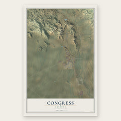
- Congress 12" x 18" / Archival Matte Print $39.99
- Circle City 12" x 18" / Archival Matte Print $39.99


More maps nearby: Yarnell, Peeples Valley, Wittmann, Aguila and Surprise.
The art of mapping a place
How This Map Was Made
Real places. Remarkable detail. Discover the layers that turn geographic data into a map of home.

The view from above
Aerial imagery reveals the character of the land: woodland, open fields, and the patterns of a place.

The shape of the land
Elevation data brings hills, valleys, and subtle changes in the landscape into view.

The details of home
Roads, waterways, and building footprints come together to make the map feel unmistakably local.

Geography becomes art
Considered color, shading, and typography bring the layers together in a map made for your wall.


Process illustrated with Mendon, Massachusetts. Aerial imagery: USDA NAIP. Terrain: USGS 3D Elevation Program. Map details and finished artwork: KNOWOL.
The Details
About This Print
Choose an archival matte print, or a black or white Ayous wood frame. The archival matte print is unframed.
Select your size and finish above to see the matching product image and price.
Materials & Craftsmanship
A contemporary map with the character of a classic atlas, printed on archival matte paper. Optional frames are made from Ayous wood.
Your printed map does not include the watermark shown in the full-map preview.
Shipping & Delivery
Free shipping within the United States. Every print is made to order in the USA.
Buying a gift? Add a note in your cart and we'll include it. We never put prices in the package.
Prints ship within 2 to 3 business days. Allow 7 to 10 days total from ordering for delivery. Timing may vary during holidays or periods of high order volume.
Read our shipping policy.
Returns and damaged prints
Each print is made to order. Change-of-mind refunds are not available after production.
If your print arrives damaged, misprinted or incorrect, contact support@knowol.com within 30 days of receiving it. Include your order number, photos and a description of the issue.
Read our full refund and replacement policy. For questions about your order, email support@knowol.com.